![]()
![]()
![]()

Trip 220 - June 30, 2021 (Wednesday)
Lindsay Lake Loop Trail Hike
Near Buntzen Lake / Anmore BC
Page 2 of 2
Liked: Metro Vancouver, Buntzen Lake, Indian Arm, and mountain views from several viewpoints, several small waterfalls, shade in the forest, few bugs (except by Lindsay Lake), the upper part of the trail is a loop.
Of Note: Moderately difficult trail with some short challenging sections - hiking poles and boots are highly recommended. Steep unbarricaded drop-offs at some viewpoints, ran into a bear, numerous muddy sections, some snow still present on the trail, numerous loops and intersecting trails make for somewhat challenging navigation - a GPS is recommended.
Vancouver, Coast & Mountains Backroad Mapbook (5th edition) Trailhead Coordinates: Page 12 (Pinecone Burke Provincial Park) A7.
Related Website: Buntzen Lake Recreation Area - BC Hydro Official Website.
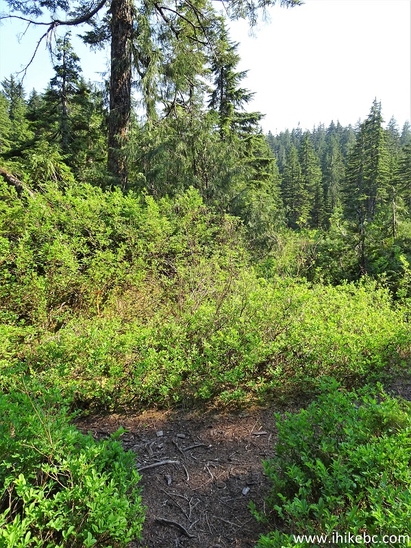
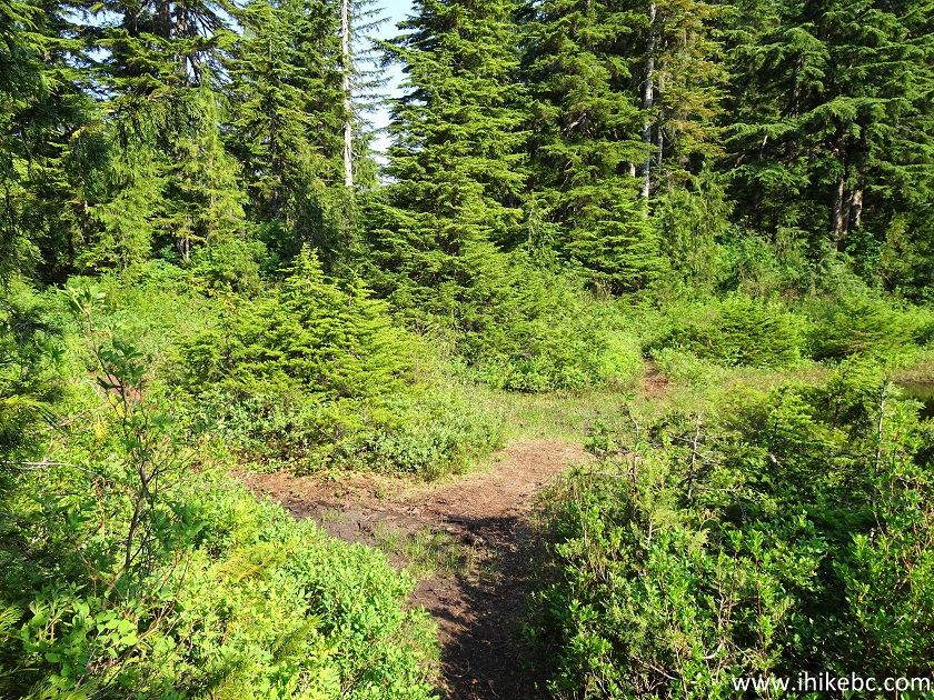
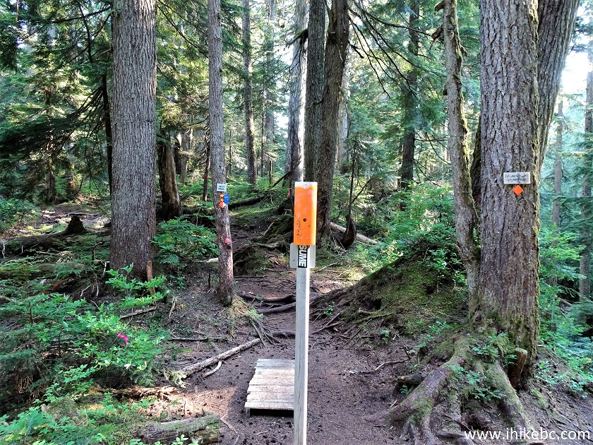
32. A major intersection called El Paso Junction arrives at the 5.3 km mark of the trail. Coordinates:
N 49⁰20.782' W 122⁰49.357'. Elevation: 912 (755 meters elevation gain from the trailhead for an average grade of 14%). This is the beginning of the actual Lindsay Lake Loop. The best way is to hike counter-clockwise by taking the left path, as this way the views are going to get progressively better.
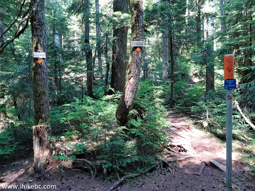
El Paso Junction - Lindsay Lake Loop Trail - Anmore Hike
33-34. We went left at the El Paso Junction, and, very shortly, there was a pleasant small waterfall on the right side.
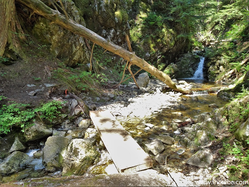
Small Waterfall Off Lindsay Lake Loop Trail - Anmore Hiking
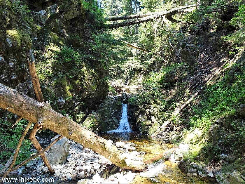
35-36. Shortly after that, there was a larger waterfall on the left side. It was further away and appeared impossible to approach (from this location, anyway), so here is a photo of a plain view from near the trail, followed by a zoomed version.
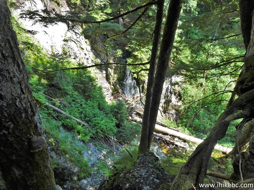
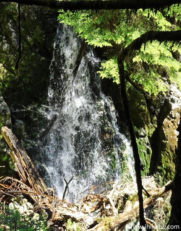
Waterfall By Lindsay Lake Loop Trail in Anmore BC Area
Here is our video of the waterfall.
37. At 6.45 km, Lindsay Lake Loop Trail briefly becomes tough enough that a rope is attached for hikers' convenience.
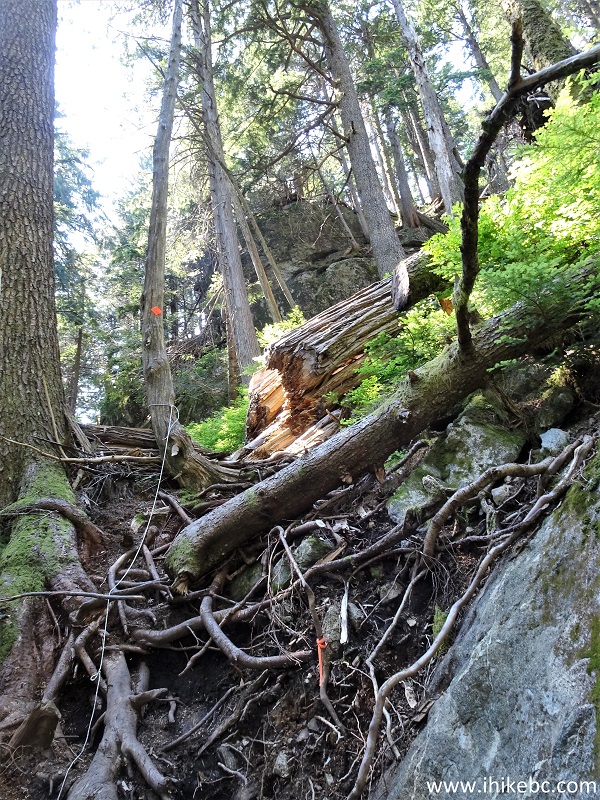
Anmore Trail - Lindsay Lake Loop Trail
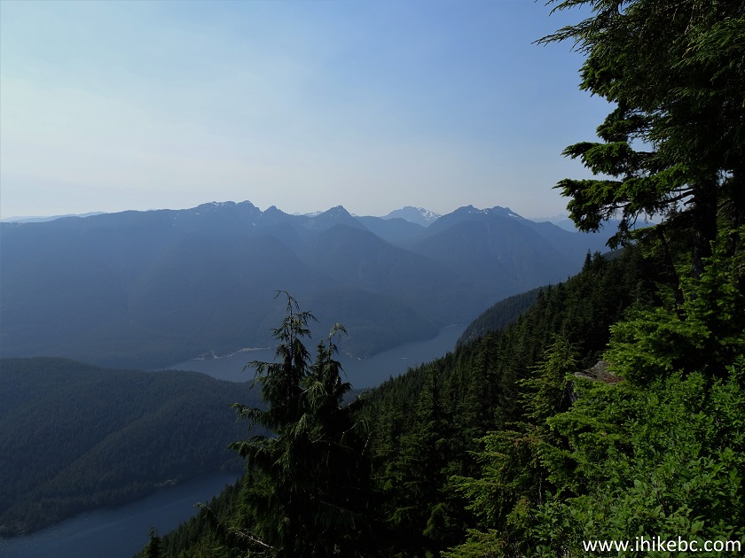
38. At 6.68 km, we are approaching the first viewpoint, called Barton Point.
Coordinates: N 49⁰20.576' W 122⁰49.968'. Elevation: 941 meters.
Lindsay Lake Hike in Anmore British Columbia Canada Area
39-40. It's a panoramic view of Metro Vancouver. But, with the haze and the sun shining right at us, today's view was nothing to write home about.
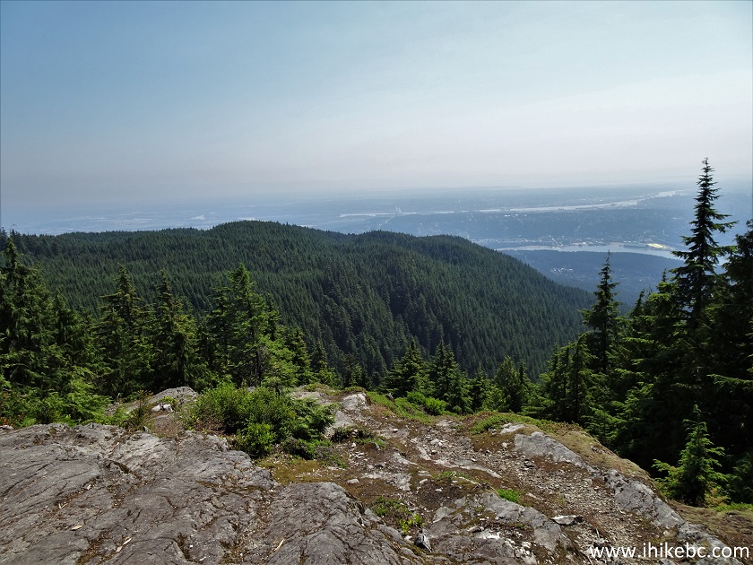
Barton Point - Lindsay Lake Trail near Buntzen Lake Recreation Area
Metro Vancouver View from Lindsay Lake Loop Trail
Here is our video of the views from this location.
More ihikebc videos are on our YouTube Channel.
41. At 6.90 km, we are at the Little Valhalla viewpoint.
Lindsay Lake Loop Trail by Little Valhalla Viewpoint
42. A bit better. Beware of steep unbarricaded drop-offs at this and other viewpoints.
Little Valhalla Viewpoint of Lindsay Lake Trail
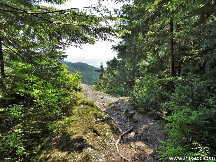
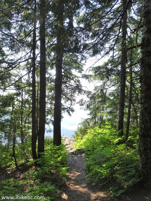
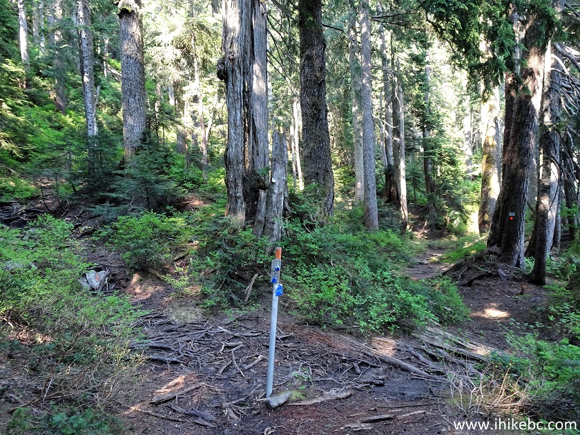
43. Lindsay Lake Loop Trail continues. At 7.17 km here.
Hiking in Buntzen Lake Recreation Area - Lindsay Lake Loop Trail
44. Spahats Ridge bypass arrives shortly thereafter. The left trail goes through the ridge, and, perhaps, there is another viewpoint there. But we took the bypass on the right side.
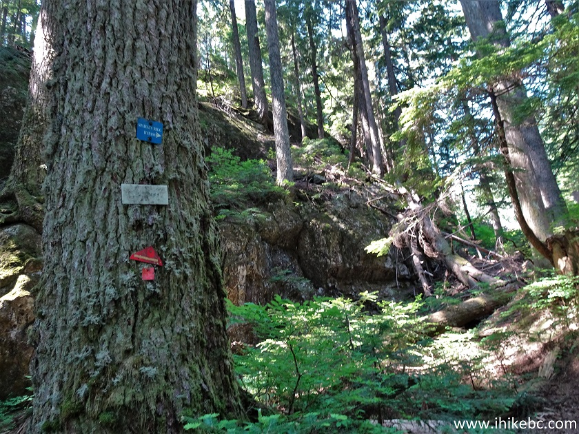
Lindsay Lake Trail at Spahats Ridge Bypass
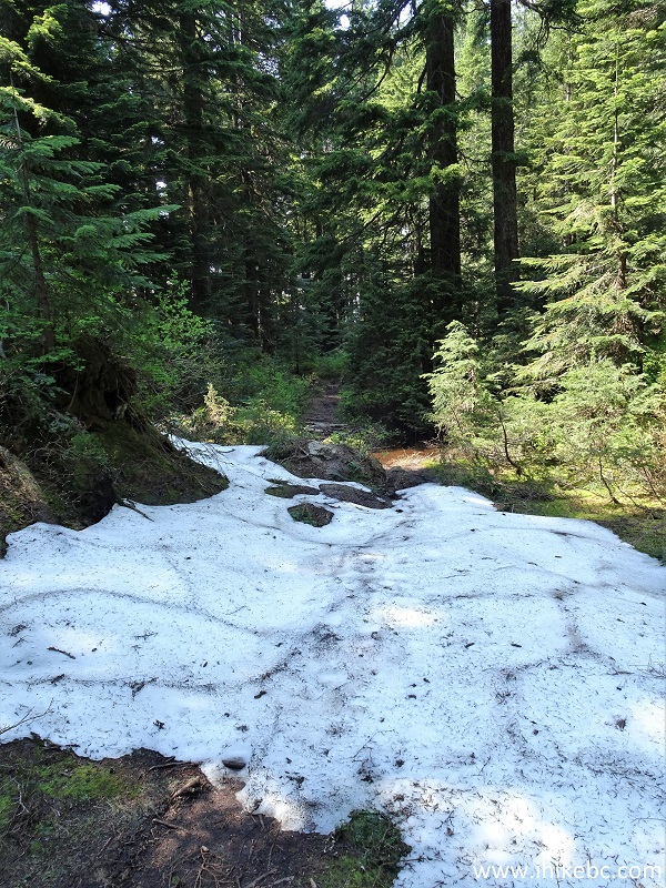
45. Snow on Lindsay Lake Loop Trail appeared at the 8.50 km mark. It wasn't too bad, except for a few large deep patches near Lindsay Lake itself, further down the trail.
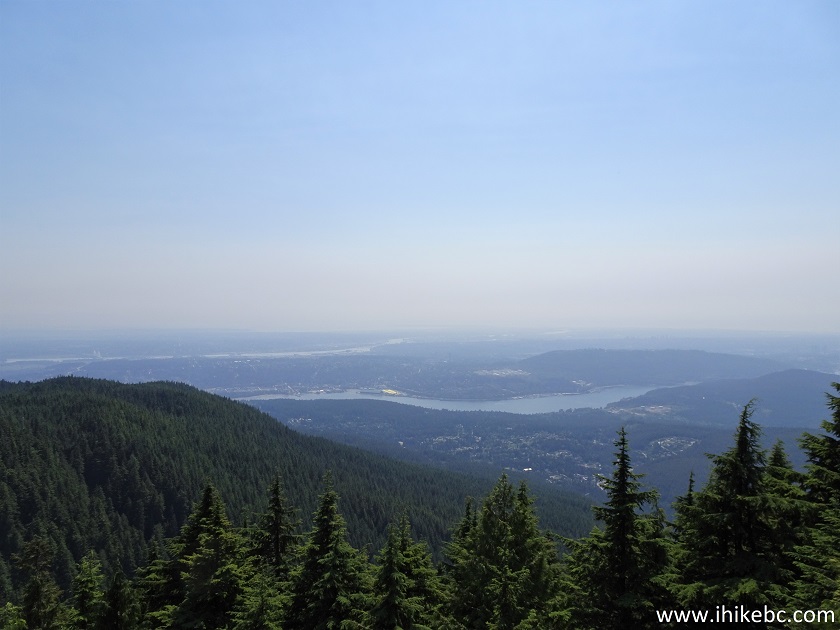
Anmore Hike - Lindsay Lake Loop Trail
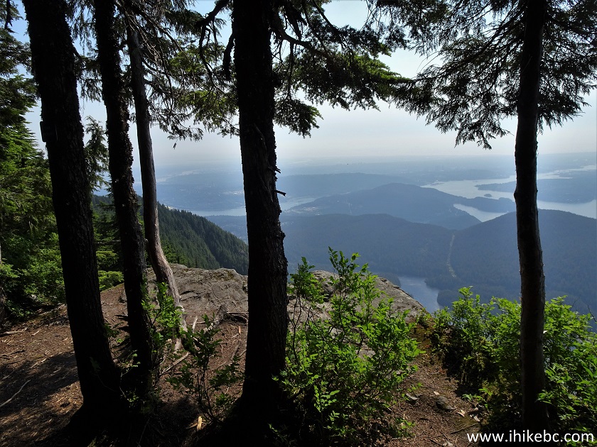
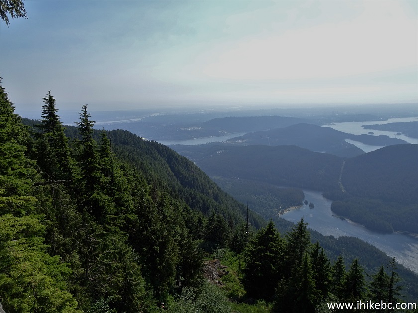
46. The third viewpoint arrives at 9.17 km and is called West Point. There are actually two viewpoints next to each other. The first one is overgrown, but the second one is quite decent.
Lindsay Lake Trail - West Point Viewpoint
47. The final and the best of them all is The Pulpit viewpoint, at 9.28 km of Lindsay Lake Loop Trail.
Coordinates: N 49⁰21.392' W 122⁰50.003'. Elevation: 1,079 meters. Here is the approach.
Lindsay Lake Hike at The Pulpit Viewpoint
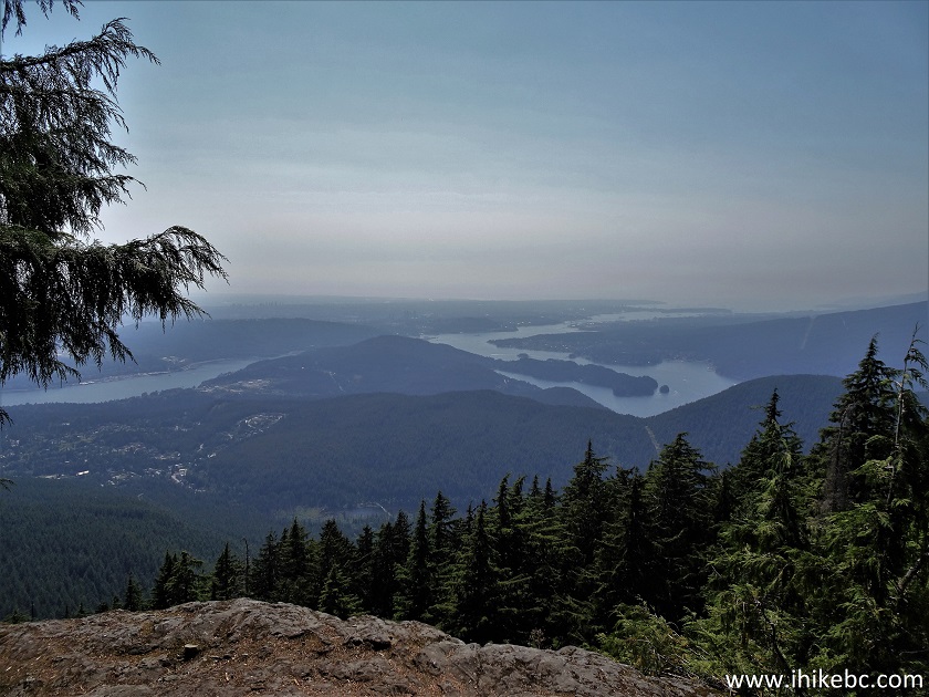
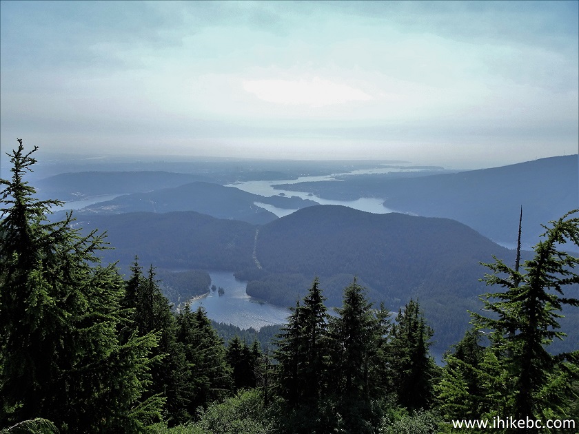
48-51. And here are the views. Left to right. The body of water closest to us is Buntzen Lake. Beyond the hill is Indian Arm.
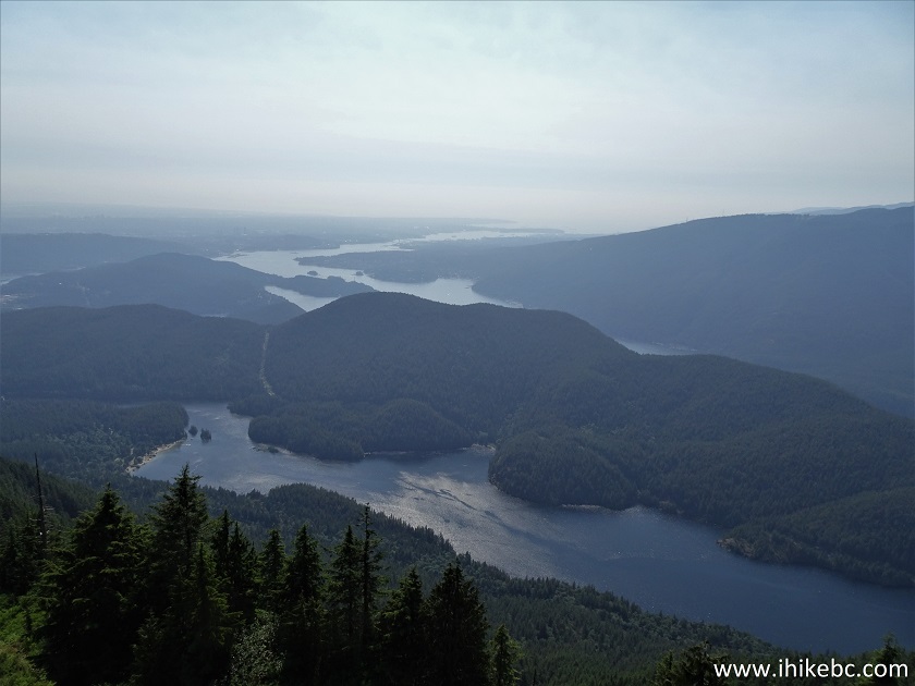
View from The Pulpit Viewpoint - Lindsay Lake Trail
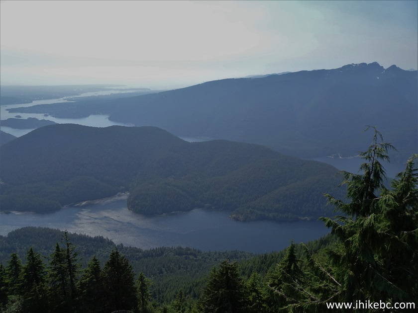
52. A panorama of the place.
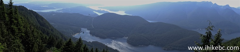
Panorama of the View from The Pulpit Viewpoint - Lindsay Lake Loop Trail
53. At 9.73 km, we are at the Lindsay Lake Junction.
Coordinates: N 49⁰21.552' W 122⁰49.916'. Elevation: 1,104 meters (947 meters elevation gain from the start of the trail). Going left would complete Lindsay Lake Loop by returning to El Paso Junction. And going right would lead to Mount Beautiful and two much longer loop trails back to Buntzen Lakes - Swan Falls and Dilly-Dally. Both of these loops are out of commission as of right now due to a landslide.
Lindsay Lake Junction - Lindsay Lake Loop Trail British Columbia Canada
54. What else did we find at the Lindsay Lake Junction? But of course - Lindsay Lake. In addition to some deep snow and a bunch of mosquitoes.
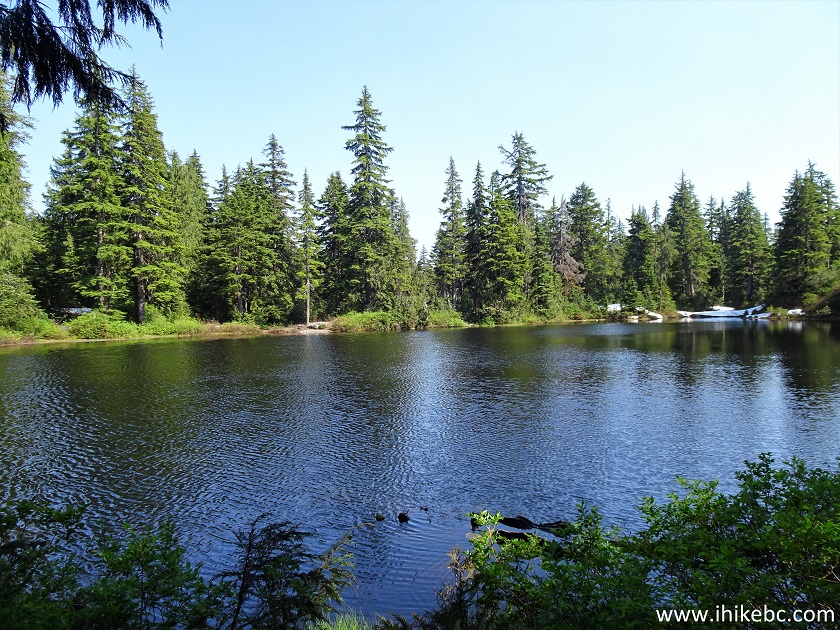
Lindsay Lake British Columbia Canada
55. Deep snow by Lindsay Lake.
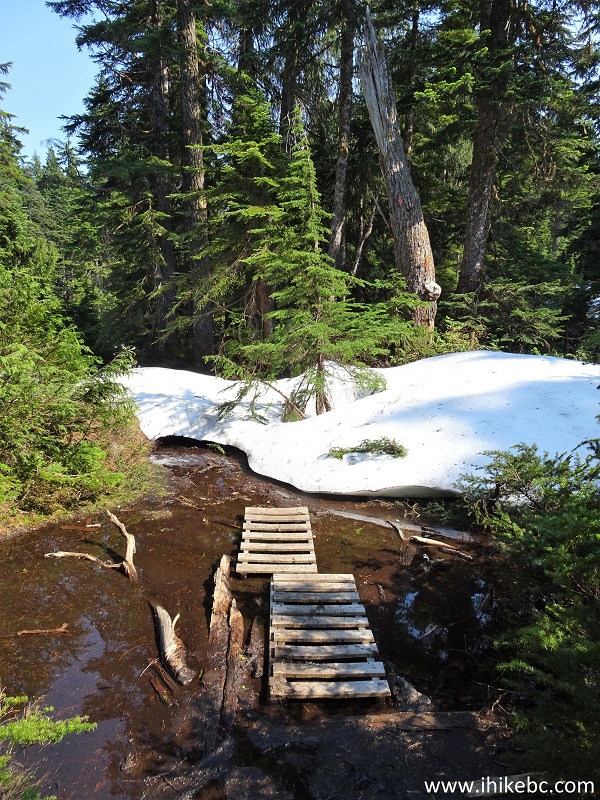
Lindsay Lake Hike in British Columbia Canada
56. Things get complicated for a bit, as there actually two smaller loops there - check the BC Hydro map linked on Page 1 above photo #10. Just follow the "Main Trail" signs, and you would get back to El Paso Junction. A GPS would be quite helpful here too. This is the Lakes Junction, by the way. Going right would be the loop around several small lakes, and turning left is the main trail.
Lakes Junction - Lindsay Lake Trail
57. Just 20 meters further, turn left again to stay on the main trail, as on the right side is the end of the Lakes Loop.
Hiking in British Columbia - Lindsay Lake Loop Trail
58. 900 meters from the Lakes Junction, we are at the El Paso Junction again. From here, retrace your steps back to the parking lot.
Lindsay Lake Loop Trail El Paso Jct
Provided there is no haze and the sun shining in the right direction (or it's cloudy), Lindsay Lake Loop Trail has the views which are bound to impress. Highly recommended.


|
 |
Other Trips:


![]()
![]()
![]()
ihikebc.com Trip 220 - Lindsay Lake Loop Trail Hike (near Buntzen Lake / Anmore BC) Page 2 of 2