![]()
![]()
![]()

Trip 220 - June 30, 2021 (Wednesday)
Lindsay Lake Loop Trail Hike
Near Buntzen Lake / Anmore BC
Page 1 of 2
Liked: Metro Vancouver, Buntzen Lake, Indian Arm, and mountain views from several viewpoints, several small waterfalls, shade in the forest, few bugs (except by Lindsay Lake), the upper part of the trail is a loop.
Of Note: Moderately difficult trail with some short challenging sections - hiking poles and boots are highly recommended. Steep unbarricaded drop-offs at some viewpoints, ran into a bear, numerous muddy sections, some snow still present on the trail, numerous loops and intersecting trails make for somewhat challenging navigation - a GPS is recommended.
Vancouver, Coast & Mountains Backroad Mapbook (5th edition) Trailhead Coordinates: Page 12 (Pinecone Burke Provincial Park) A7.
Related Website: Buntzen Lake Recreation Area - BC Hydro Official Website.
Lindsay Lake Loop Trail is located by the Village Municipality of Anmore (next to Belcarra and Coquitlam), and starts off Buntzen Lake Recreation Area ran by BC Hydro. Buntzen Lake is very popular, and the beach is usually crowded, but the long (15 km in total) trail today was nearly deserted, save for a few hikers and a bear. Yes, indeed, after all these hikes, we finally ran into a bear, as it casually strolled towards us, as if on a hike itself. The bear was no more than 20 meters away, rounding some thin trees, when we saw it. The bear then saw us too, stopped, thought about it for a moment, then turned around and walked away. Before scaring it with some noise, we filmed its graceful retreat, and a video is attached to this trip report.
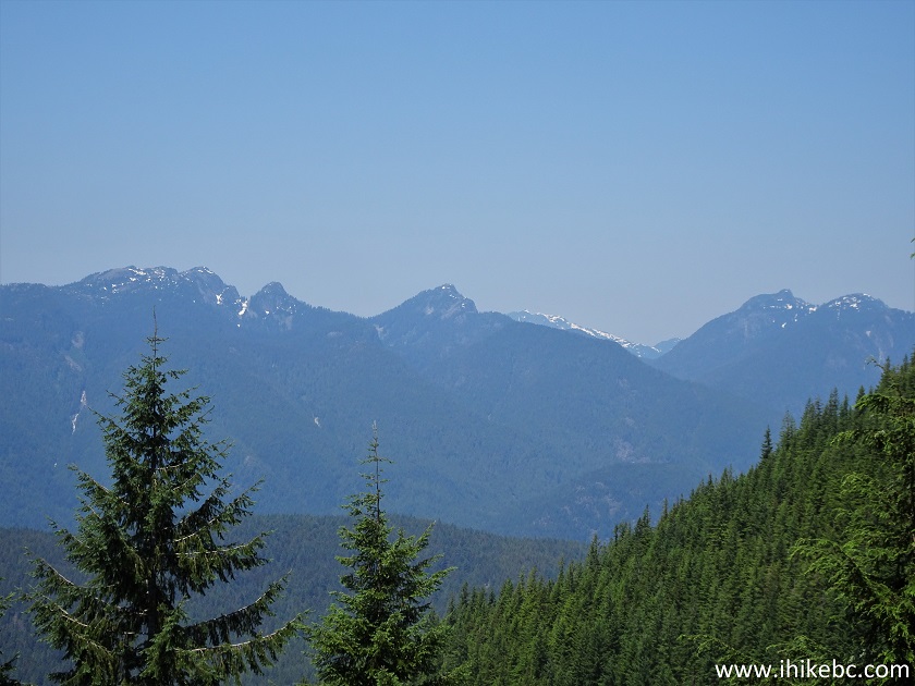
There was a trail to hike too, with several panoramic viewpoints of Metro Vancouver, Buntzen Lake, Indian Arm, and some remote mountains. And it would have been a much nicer hike were it not for the heat-induced haze blanketing the area, and the fact that we started hiking too late, and the sun shined in our eyes at all the viewpoints, mixing the haze and glare into a rather unappealing picture. That said, if you would choose a haze-less day, and start the hike soon after the sunrise (or when it's cloudy), the views are going to be mighty impressive.
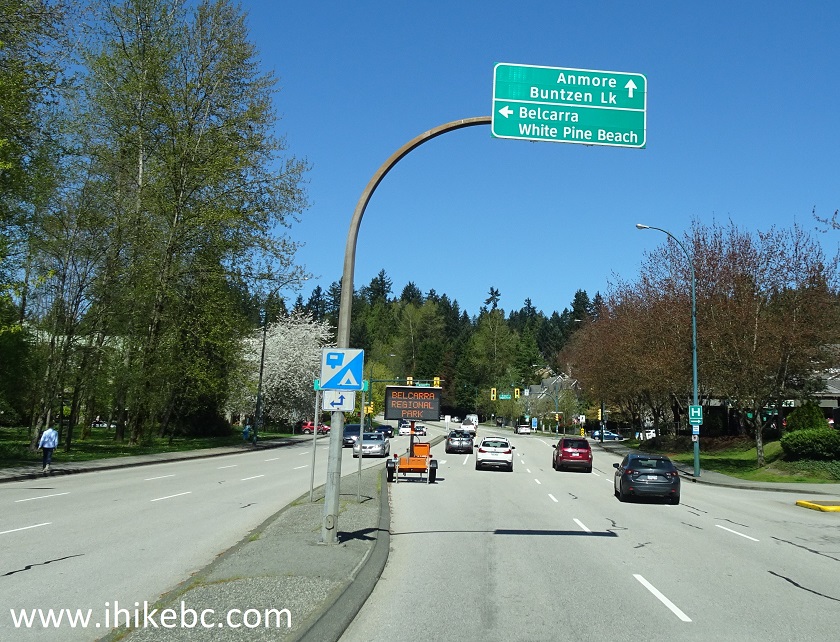
Buntzen Lake Recreation Area is located close to Belcarra Regional Park, which we visited earlier this year. The way to get to Buntzen Lake from Vancouver is the same as to Belcarra RP, all the way to Ioco Drive in Port Moody. Where a left turn is required to get to Belcarra, one has to drive straight to get to Anmore and Buntzen Lake. Plentiful signs make it easy to find your way.
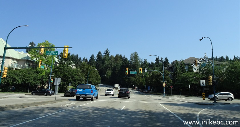
1. We are on Ioco Road in Port Moody, 17.4 km from Vancouver/Burnaby boundary at Hastings Street. This is the same photo as photo #10 of Belcarra Regional Park Visit trip report. Check out that trip report for directions from Vancouver (Hastings Street) up to this point.
Ioco Road Port Moody BC
2. Whereas to get to Belcarra Regional Park one would have to turn left (to stay on Ioco Road) at this intersection, to get to Anmore / Buntzen Lake, go straight - this would be the beginning of Heritage Mountain Boulevard. It's 8.6 km from this intersection to Buntzen Lake parking lots.
Ioco Road at Heritage Mountain Boulevard Port Moody BC
3. We are now 5.7 km from that key intersection. Signs directing to Buntzen Lake make it easy to get to the Lindsay Lake Loop trailhead, located near the parking lots.
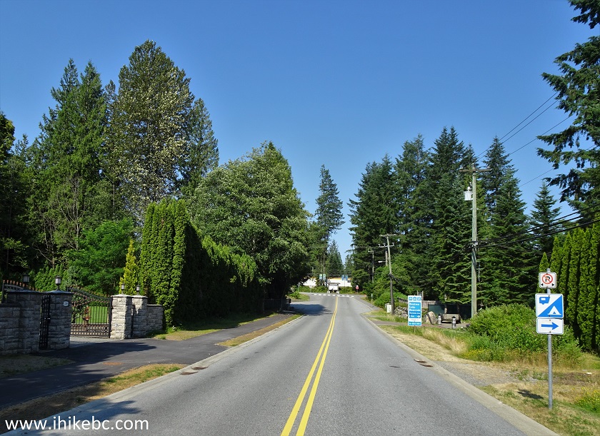
4. Approaching Buntzen Lake Recreation Area, 6.7 km after the intersection.
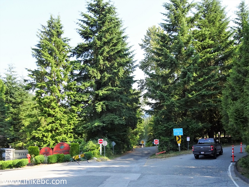
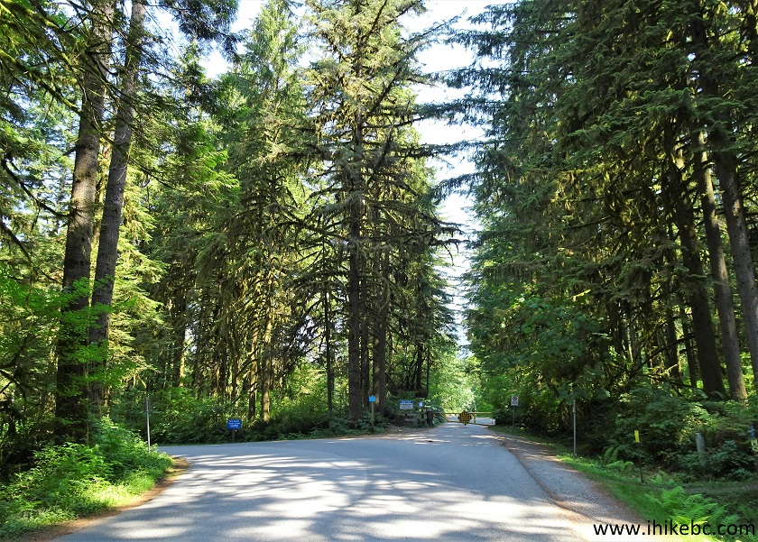
5. A neat drive through the woods just before the parking lots.
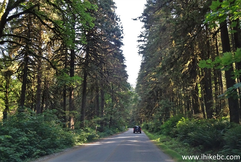
Buntzen Lake Recreation Area Access Road
6. And here is one of the three enormous (and free, unlike in Belcarra Regional Park) parking lots. They are next to each other, separated by rows of trees. Park at the first lot to your right once you enter the recreation area, and as close to the road as possible, as the trailhead is a few hundred meters back. A sign on the road states that, once the lots are full, the car access to the park would be closed. Which means that, on a busy day, there are easily 500+ vehicles here, and over 1,000 people. Fortunately for hikers, it appears that just about everyone comes here for the lake, not the trails, so it's unlikely to be a crowded hiking adventure.
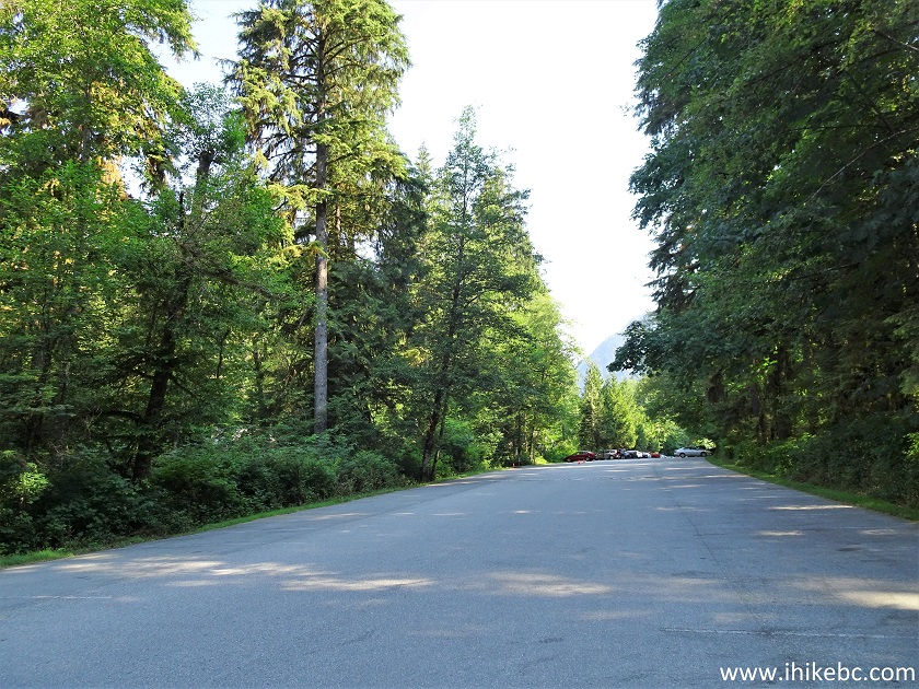
Buntzen Lake Parking Lot
7. And it's a neat lake to come for. Buntzen Lake used to be called Lake Beautiful for a good reason.
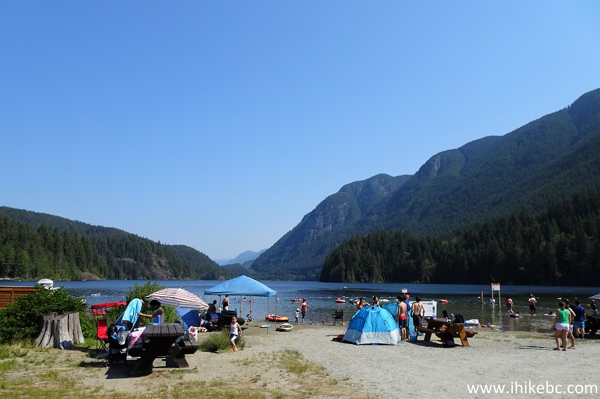
People at Buntzen Lake Beach
8. Paddle boarding is popular here as well.
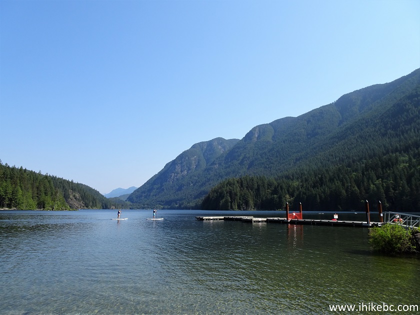
Buntzen Lake British Columbia
9. But we came to hike, so, about a hundred meters before the parking lots, look for the (usually closed) gate on the right side just as the road turns left. The gate is seen straight ahead here.
Buntzen Lake Access Road near Anmore British Columbia Canada
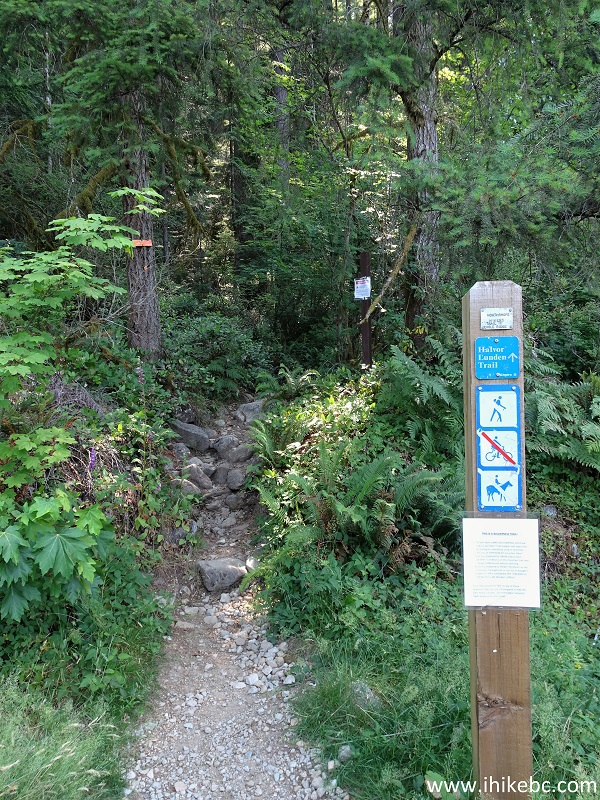
10. Go past the gate, and the trailhead is on the right side, within 100 meters. Coordinates:
N 49⁰20.164' W 122⁰51.351'. Elevation: 157 meters. There is a map of all the nearby trails at the information board seen in the photo below, and also on BC Hydro's website (PDF file).
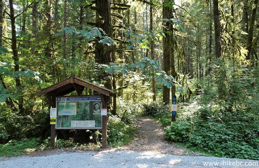
Lindsay Lake Loop Trailhead
11. The sign says "Halvor Lunden Trail", which is composed of several trails, including Lindsay Lake Loop. Note the Recreation Area gate closure time, lest your vehicle be stuck there overnight. Hiking time for the 15 km-long Lindsay Lake Loop is about 6-8 hours.
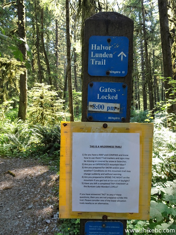
Halvor Lunden Trailhead / Lindsay Lake Trailhead
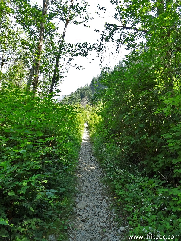
12. The hike begins. Here we are at 40 meters from the trailhead. All distances are based on a GPS odometer and are approximate.
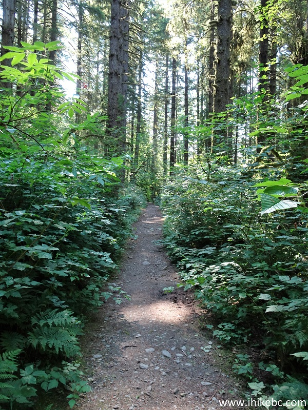
Anmore Hike - Lindsay Lake Trail
13-14. The first of numerous splits and turns arrives at 320 meters - turn left after the bridge.
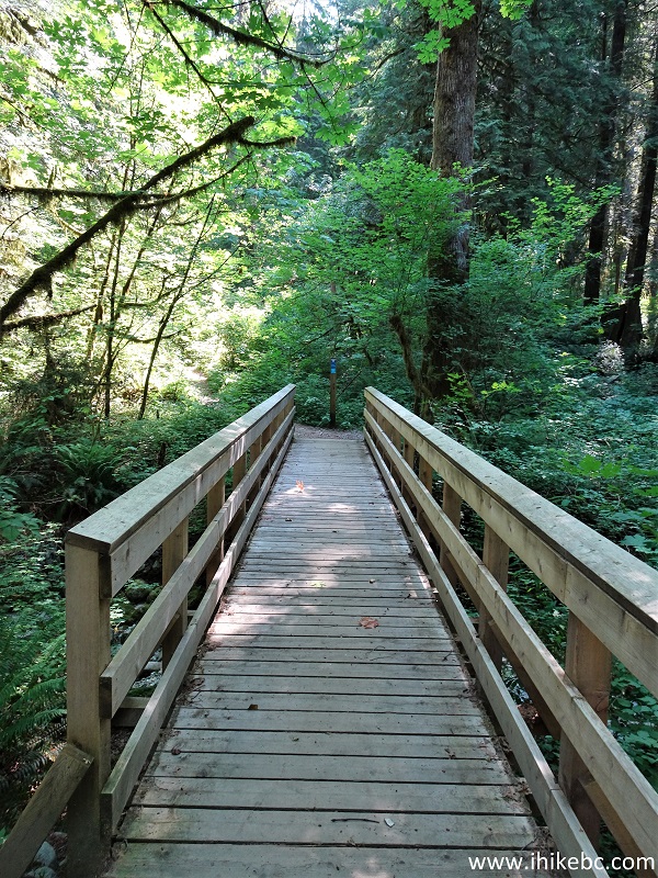
Lindsay Lake Loop Trail - Anmore Hiking
15. Halvor Lunden / Lindsay Lake Loop Trail after the bridge.
Anmore Trail - Lindsay Lake Trail
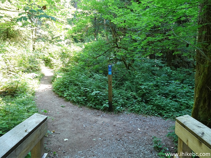
16. Make another left turn at the next T-junction, 550 meters from the trailhead. There is usually (but not always) a sign indicating which way to proceed.
Trail in Anmore Area - Lindsay Lake Loop
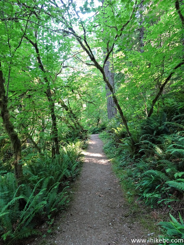
17. The trail after the second T-junction.
Lindsay Lake Loop Trail Hike in Anmore BC Area
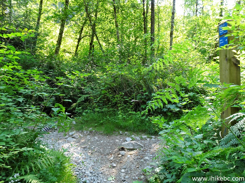
18-19. At 750 meters, make a right turn. Going straight is another trail, which is washed out at this time.
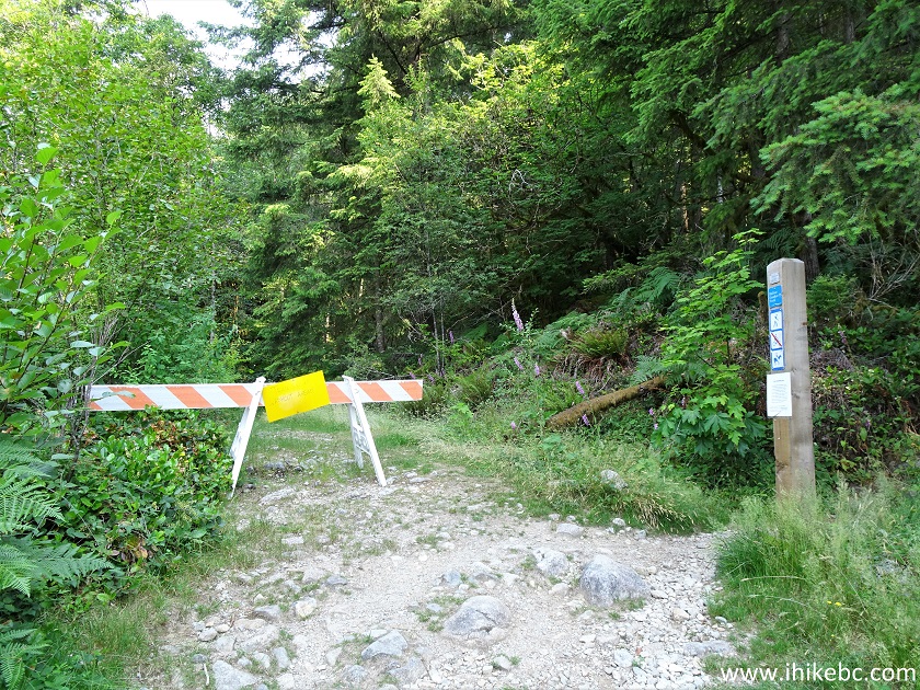
Lindsay Lake Trail Hiking in Anmore Area
20. Halvor Lunden / Lindsay Lake Loop Trail shortly after the 1 km mark. There are no distance markers on the trail.
Lindsay Lake Trail - Buntzen Lake Recreation Area Hike
21. At 1.25 km comes Eagle Bluff Viewpoint turnoff, on the right side. Coordinates:
N 49⁰20.138' W 122⁰50.840'. Elevation: 309 meters. Another Eagle Bluff turnoff is at 4.33 km, so it appears it's possible to hike through the bluff viewpoint and rejoin this trail later, but we don't know for sure.
Lindsay Lake Loop Trail at Eagle Bluff Viewpoint Turnoff
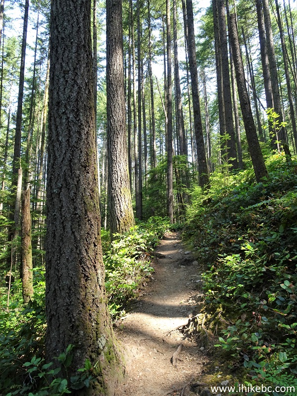
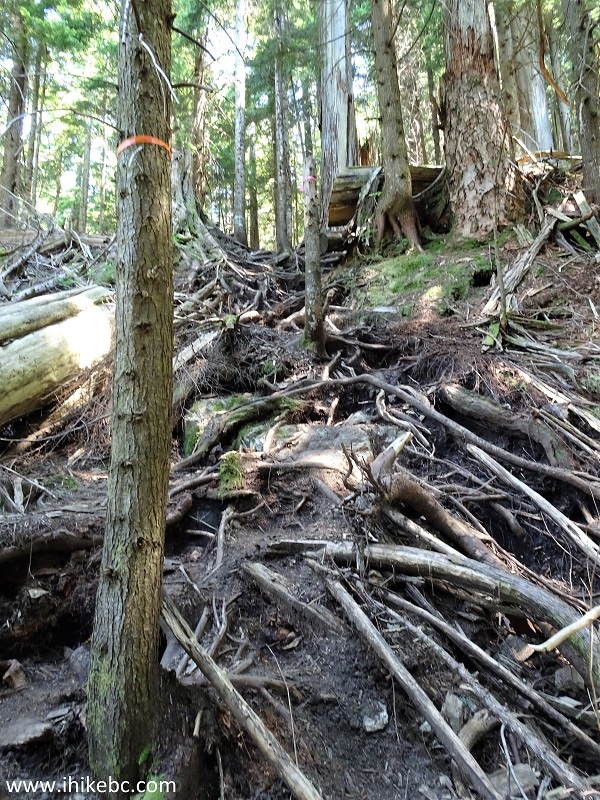
22. Halvor Lunden / Lindsay Lake Loop Trail at 2.77 km.
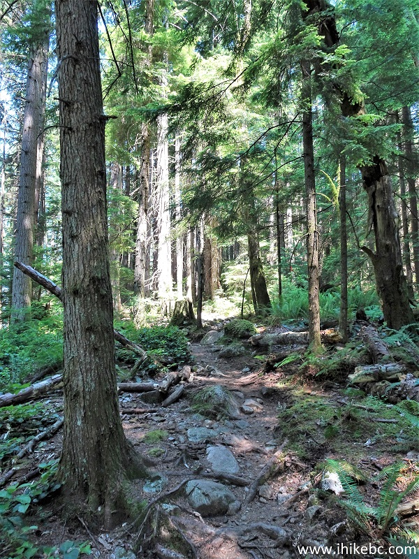
Buntzen Lake Recreation Area Hiking - Lindsay Lake Trail
23-24. At 3.20 km comes Polytrichum Lookout. With the sun shining in the right direction and less haze it may look more interesting, but far better viewpoints are further down the trail.
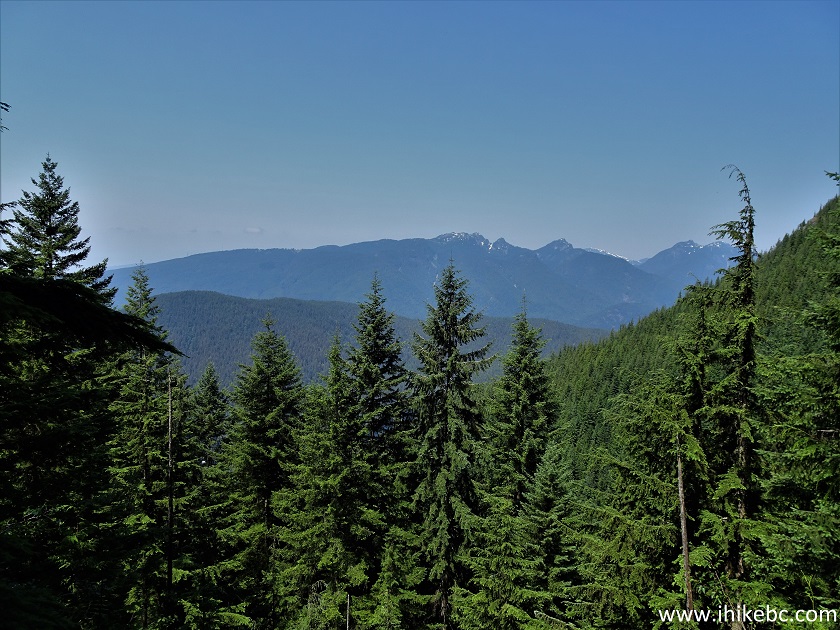
Polytrichum Lookout - Lindsay Lake Loop Trail near Buntzen Lake
Recreation Area by Anmore BC Canada
25. The trail at 3.5 km.
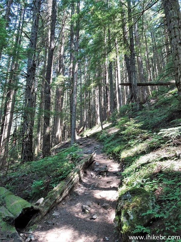
Lindsay Lake Trail
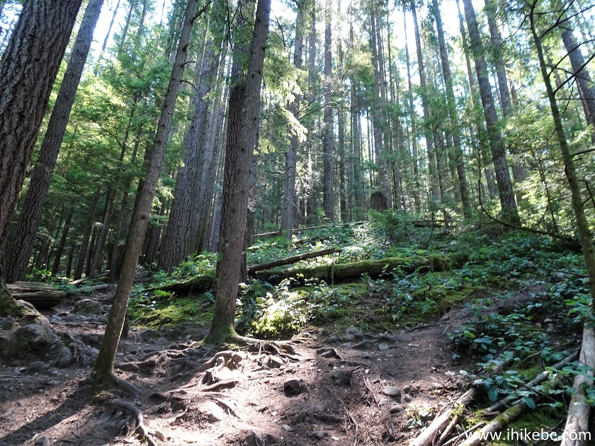
26. Halvor Lunden / Lindsay Lake Loop Trail is mostly moderately difficult, but a few stretches, such as this one at 4.0 km, would make you really glad you've got those hiking poles and boots.
Lindsay Lake Loop Trail
27-28. There is an interesting ladder at 4.10 km. Here it is, looking from both directions.
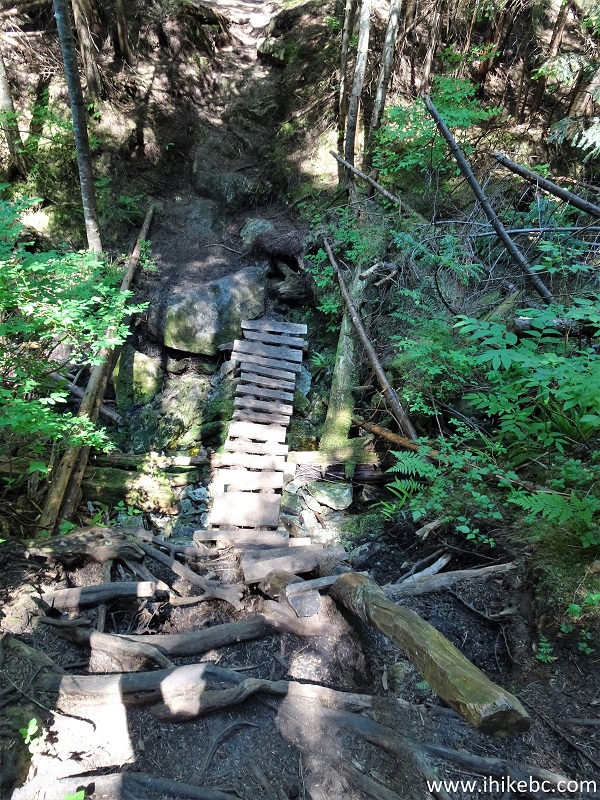
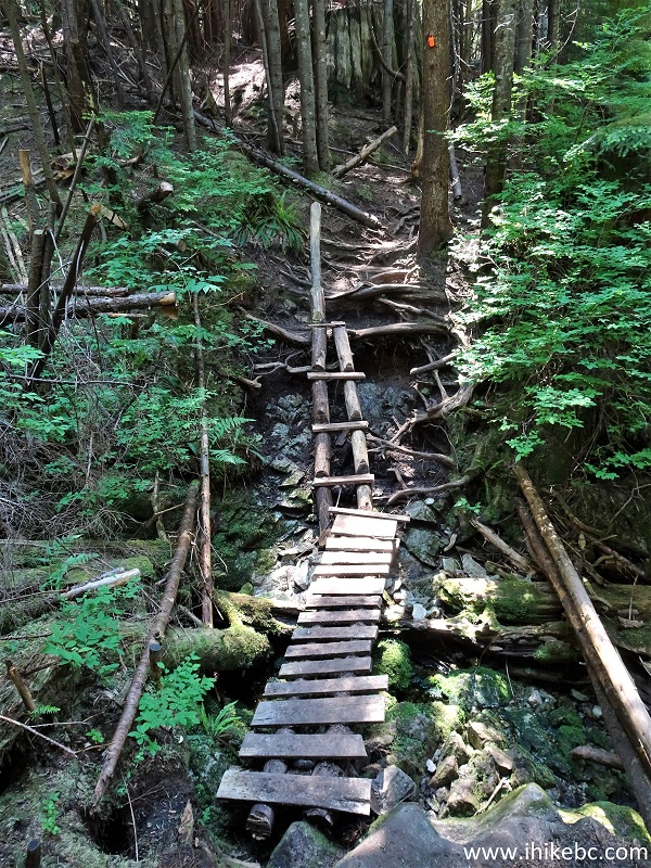
Lindsay Lake Hike near Anmore BC Canada
29. At 4.33 km comes the second Eagle Bluffs Lookout turnoff, also on the right side. Coordinates:
N 49⁰20.350' W 122⁰49.765'. Elevation: 822 meters.
Lindsay Lake Loop Trail at Second Eagle Bluffs Lookout Turnoff
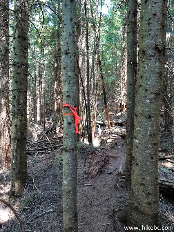
30. At 4.45km, here comes the bear. We have seen dozens of bears in the backcountry. Usually, they try to run away when you are driving on a forest service road. Sometimes, they chew on grass on the side of a highway. Once, a bear strolled by in twilight, as we were sitting in our vehicle on a forest service road. But to encounter a bear on a trail, basically face-to-muzzle? That was the first. We were hiking as per usual, when, suddenly, not more than 20 meters away, rounding some thin trees there was an average size black bear using the same trail coming right at us. The bear then saw us too, stopped, froze for a moment, turned around, and started heading in the opposite direction. The video below shows the bear walking away. We then made some noise, and it ran up the hill on the right side.
All bears are potentially very dangerous - Be Bear Aware (external site).
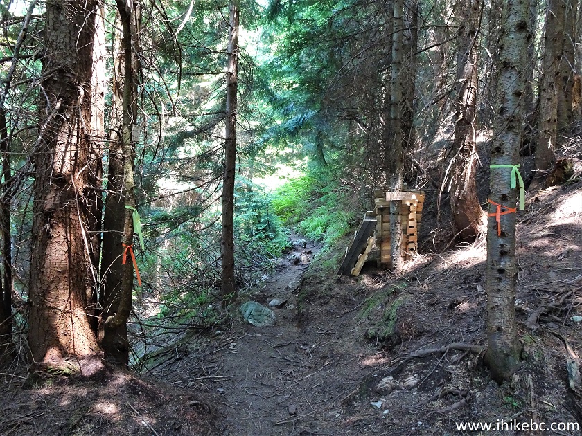
To commemorate the occasion, we have tied up a few pieces of flagging tape where we have met the bear. Here it is. Coordinates:
N 49⁰20.435' W 122⁰49.730'. Elevation: 836 meters.
Lindsay Lake Loop Trail Bear Meeting Point
Here is our video of that bear.
More ihikebc videos are on our YouTube Channel.
31. Moving on, here is Halvor Lunden / Lindsay Lake Loop Trail at 4.8 km. The steepest part of the trail ends between km 4 and 5.
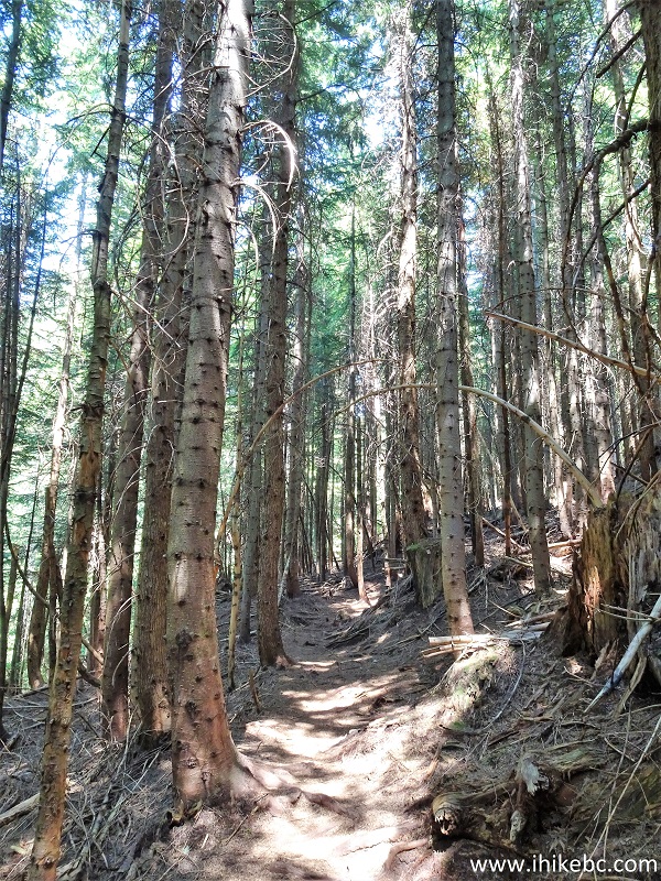
Halvor Lunden Trail / Lindsay Lake Loop Trail
Our Lindsay Lake Loop Trail trip report Continues on Page 2.


|
 |
Other Trips:


![]()


![]()
![]()
![]()
ihikebc.com Trip 220 - Lindsay Lake Loop Trail Hike (near Buntzen Lake / Anmore BC) Page 1 of 2