![]()
![]()
![]()

Trip 137 - July 13, 2018 (Friday)
Mount Murray Hike
Via Jubilee Trail and Yellowhawk Trail
Near Wells and Barkerville, British Columbia
Page 2 of 2
Distance From Vancouver:
Approximately 745 kilometers via Hwy 1
West, Hwy 97 North, Hwy 26 East, and Bowron Lake Rd.
Liked: Jubilee Trail - mountain views at the end. Yellowhawk Trail - mountain views, lake view, communication tower view. The ability to walk in a loop (start one trail, finish another, then connect via Bowron Lake Road).
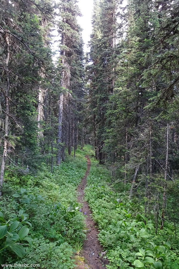
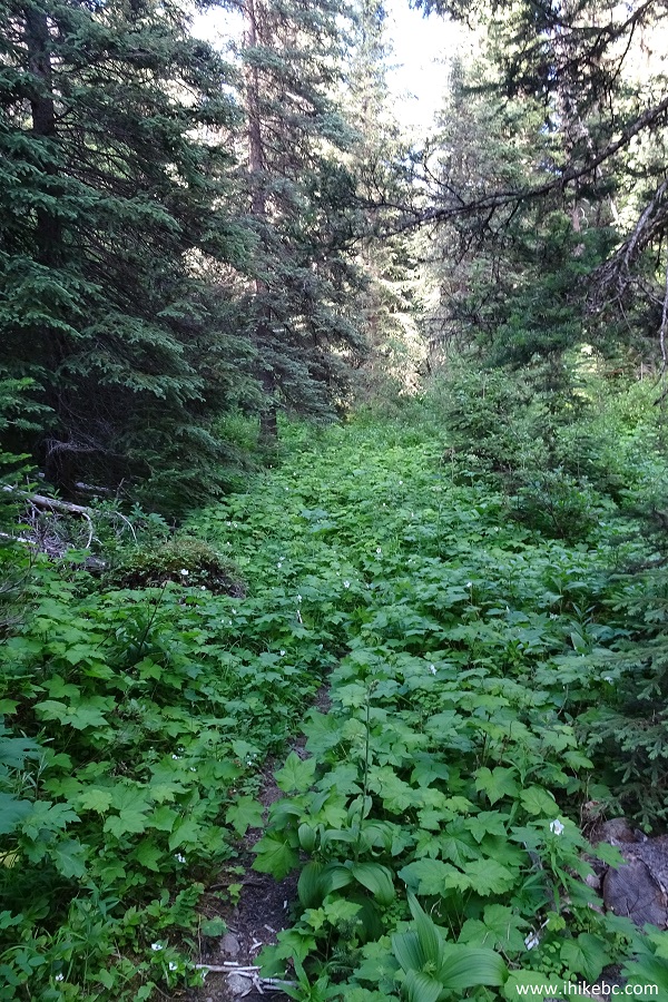
Of Note: Jubilee Trail - overgrown in many places, a few fallen trees, several muddy sections, hordes of mosquitoes. Hiking poles, hiking boots, long-sleeved shirt and long pants are highly recommended. Yellowhawk Trail - one very steep stretch with loose surface, a lot of mosquitoes. Hiking poles and boots are essential.
Cariboo Chilcotin Coast BC Backroad Mapbook (4th edition) Trailhead Coordinates: Page 58 (Barkerville) A6.
Other Trips in Wells and Barkerville Area: Two Sisters Trail, Barkerville National Historic Site.
Bowron Lake Road off Highway 26 in central British Columbia leads to famous Bowron Lake Provincial Park. It also leads to less famous Yellowhawk and Jubilee trails. These trails start about 3 kilometers apart off Bowron Lake Road, and both lead to Mount Murray.
While Jubilee trail is more or less abandoned and is getting slowly overgrown, Yellowhawk trail is used substantially more, and is in a much better shape. Jubilee trail also features the most mosquitoes we have ever seen on a hike. At one point, in sub-alpine, there were at least two hundred of them, buzzing in an excited insect cloud around us, making an associated noise and making it hard to enjoy impressive views. Yellowhawk trail wasn't as bad, but, still, about a hundred mosquitoes made a group attack at one point, and there was at least one bloodsucker near us just about at any time throughout the entire 7+ hours round-trip hike. Also, there was a short (a hundred meters or so) but very steep stretch closer to the end of Yellowhawk Trail, with loose surface made of dirt and small stones, thus the "essential" requirement for hiking poles and boots.
We started out hike towards Mount Murray on Jubilee Trail, and returned via Yellowhawk Trail. We then hiked a few kilometers on Bowron Lake Road to get back to our vehicle.
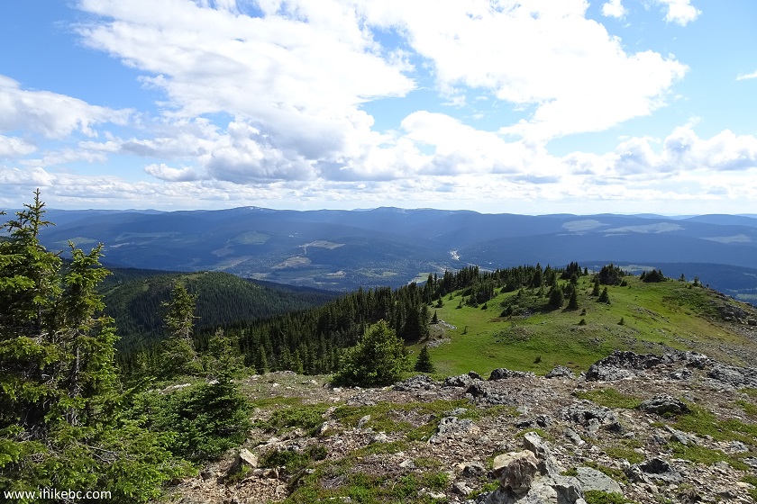
25. We then started heading towards the communication tower on our right, which is where the end of Yellowhawk Trail is located.
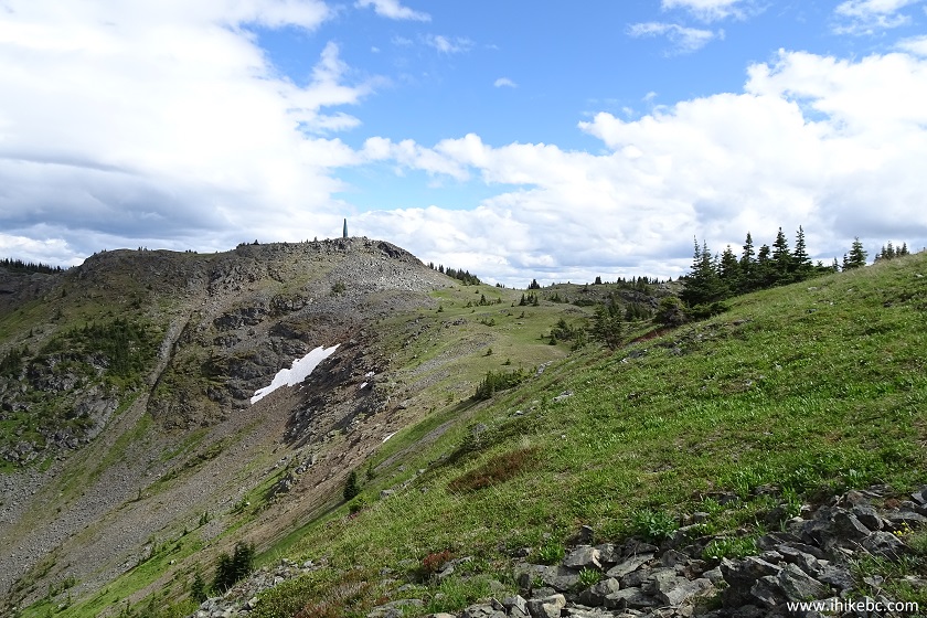
Mount Murray - Wells Hike British Columbia Canada
26. Getting closer.
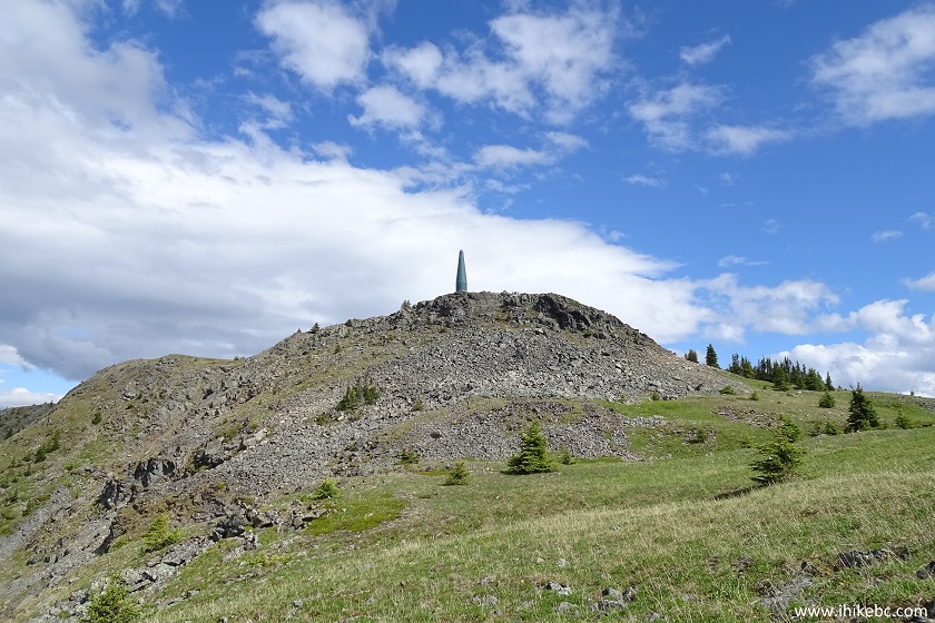
Communication Tower on Mount Murray - Barkerville Hike
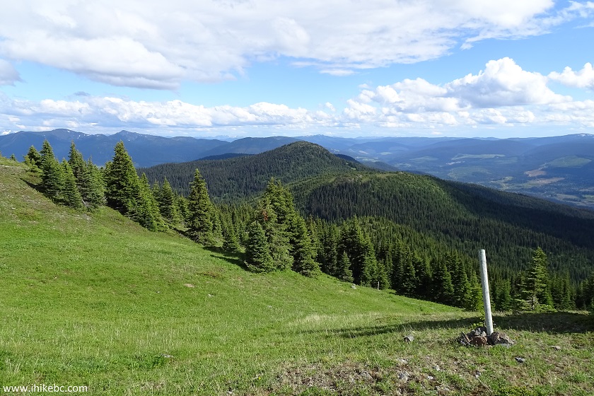
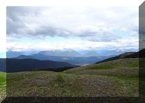
27. This is definitely the most "view rich" part of the circle hike.
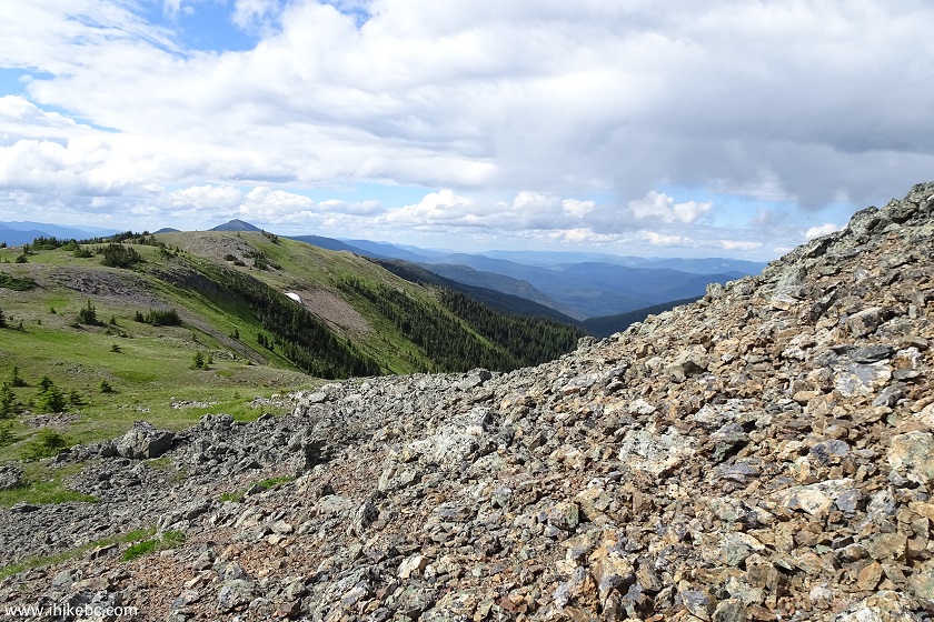
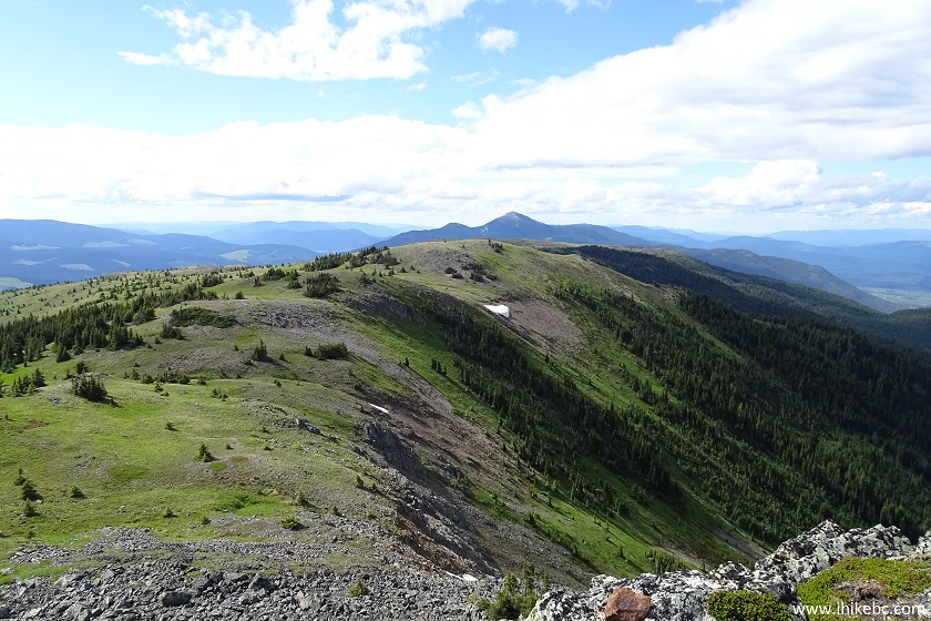
Mount Murray - Wells Hiking in British Columbia Canada
28. Almost there.
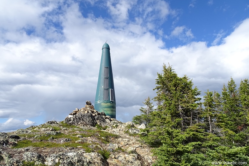
Communication Tower on top of Mount Murray - Barkerville Hiking
British Columbia Canada
29. And now we are by the tower, looking around. Coordinates: N 53⁰07.852' W 121⁰27.427'. Elevation: 1,983 meters.
Mount Murray near Barkerville and Wells - BC Hiking Canada
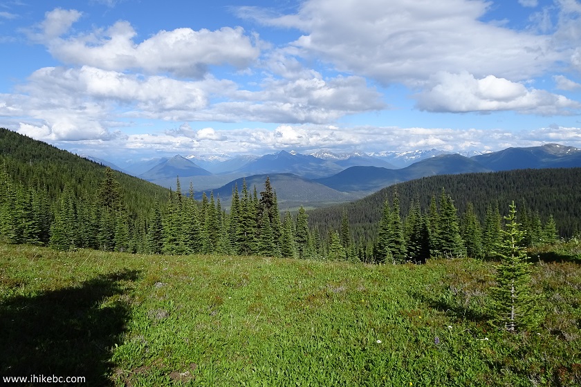
30. Another view from the end of Yellowhawk Trail.
Yellowhawk Trail - Barkerville Hiking in British Columbia Canada
31. And one more.
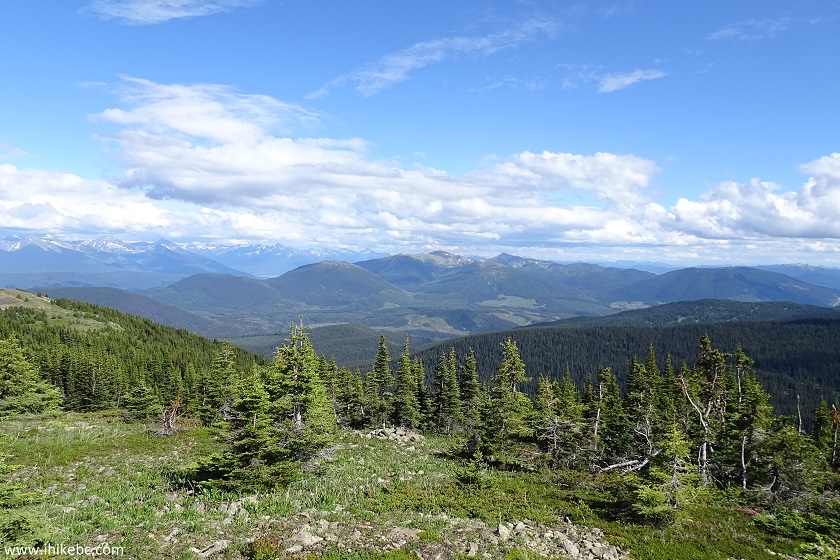
Barkerville BC Hiking - Yellowhawk Trail
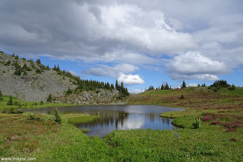
32. We then started going back via Yellowhawk Trail, which is in a much better condition than Jubilee Trail. Very shortly, there was this small mountain lake.
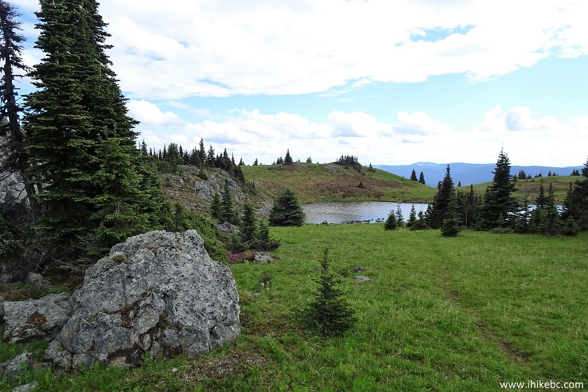
Yellowhawk Trail - Wells BC Hiking
33. Quite picturesque.
View from Yellowhawk Trail - Hiking near Quesnel BC Canada
34. The "rock cairns" guide you into the woods.
Yellowhawk Trail - Wells Hiking in British Columbia Canada
35. Here is the path.
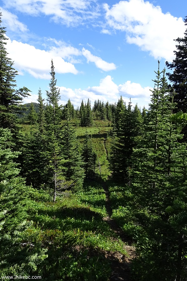
Yellowhawk Trail - Trail in Barkerville British Columbia Canada Area
36. A neat view to the left - you would need to walk for about 15 meters to see it.
View near Yellowhawk Trail by Wells BC Canada
37. And, then, a very steep stretch of about 200 meters, with loose dirt and stones. Can't do without hiking poles and boots here. This is just a small part - it actually is much longer.
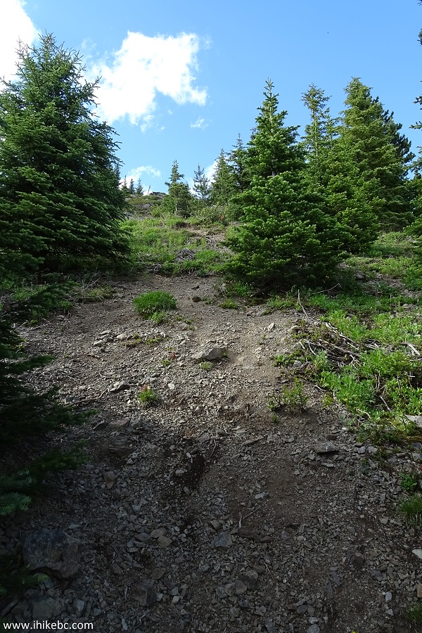
Yellowhawk Trail near Barkerville British Columbia
38. How about these cones.
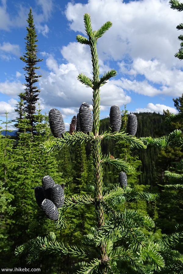
Pine Cones
39. Then, there was this "hump bypass". Not sure what that's all about, but it definitely won't bypass that super steep stretch, as the hump bypass starts and ends before that stretch. This would be the end of the hump bypass, if you hike Yellowhawk Trail from Bowron Lake Rd.
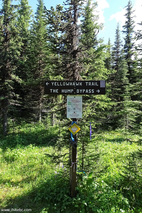
BC Hiking
40. This map might make things a bit more clear.
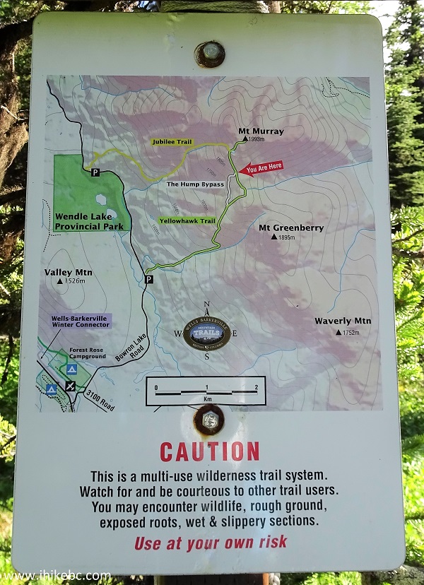
Map of Yellowhawk and Jubilee Trails - Canada Hiking
41. And here is the beginning of the hump bypass further down the trail, as we were descending.

Hike in British Columbia
42. Yellowhawk Trail closer to Bowron Lake Rd trailhead.
Yellowhawk Trail - Trail in Wells BC Area
43. There was a short overgrown stretch there, but nowhere near as bad as on Jubilee Trail.
Yellowhawk Trail near Barkerville British Columbia
44. Finally, we are at the Yellowhawk trailhead. Coordinates: N 53⁰06.367' W 121⁰29.338'. Elevation: 1,285 meters (698 meters elevation loss from the communication tower end of trail location).
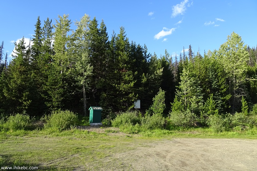
Yellowhawk Trail Parking Area near Wells and Barkerville BC
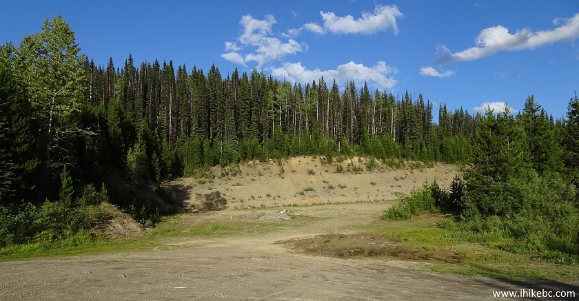
45. To the right is a promised jumbo jet parking area.
And then we hiked back for 40 minutes to our vehicle parked at the Jubilee trailhead. So, yeah, an interesting circle tour, with some seriously good views near the top of Mount Murray. If you wouldn't mind one of the worst mosquito assaults ever, this might be a fine hiking adventure.


|
 |
Other Trips:


![]()


![]()
![]()
![]()
ihikebc.com Trip 137 - Mount Murray Hike (near Wells/Barkerville BC) Page 2 of 2