![]()
![]()
![]()

Trip 137 - July 13, 2018 (Friday)
Mount Murray Hike
Via Jubilee Trail and Yellowhawk Trail
Near Wells and Barkerville, British Columbia
Page 1 of 2
Distance From Vancouver:
Approximately 745 kilometers via Hwy 1
West, Hwy 97 North, Hwy 26 East, and Bowron Lake Rd.
Liked: Jubilee Trail - mountain views at the end. Yellowhawk Trail - mountain views, lake view, communication tower view. The ability to walk in a loop (start one trail, finish another, then connect via Bowron Lake Road).
Of Note: Jubilee Trail - overgrown in many places, a few fallen trees, several muddy sections, hordes of mosquitoes. Hiking poles, hiking boots, long-sleeved shirt and long pants are highly recommended. Yellowhawk Trail - one very steep stretch with loose surface, a lot of mosquitoes. Hiking poles and boots are essential.
Cariboo Chilcotin Coast BC Backroad Mapbook (4th edition) Trailhead Coordinates: Page 58 (Barkerville) A6.
Other Trips in Wells and Barkerville Area: Two Sisters Trail, Barkerville National Historic Site.
Bowron Lake Road off Highway 26 in central British Columbia leads to famous Bowron Lake Provincial Park. It also leads to substantially less famous Yellowhawk and Jubilee trails. These trails start about 3 kilometers apart off Bowron Lake Road, and both lead to Mount Murray, where they connect.
While Jubilee Trail is more or less abandoned and is getting slowly overgrown, Yellowhawk Trail is used substantially more often, and is in a much better shape. Jubilee Trail also features the most mosquitoes we have ever seen on a hike. At one point, in sub-alpine, there were at least two hundred of them, buzzing in an excited insect cloud around us, making an associated noise and making it hard to enjoy impressive views. Yellowhawk Trail wasn't as bad, but, still, about a hundred mosquitoes made a group attack at one point, and there was at least one bloodsucker near us just about at any time throughout the entire 7+ hours round-trip hike. Also, there was a short (two hundred meters or so) but very steep stretch closer to the end of Yellowhawk Trail, with loose surface made of dirt and small stones, thus the "essential" requirement for hiking poles and boots.
We started out hike towards Mount Murray on Jubilee Trail, and returned via Yellowhawk Trail. We then hiked a few kilometers on Bowron Lake Road to get back to our vehicle.
1. We are on Highway 97 North, at the Northern end of the town of Quesnel (located between Williams Lake to the South and Prince George to the North), getting ready to turn right onto Highway 26.
BC Highway 97 North near Highway 26 Turnoff
2. Just a bit further. Barkerville and Wells are that way too.
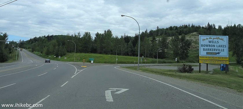
BC Highway 97 North at BC Highway 26 Turnoff
3. Now on Highway 26. It's mostly featureless after a few kilometers of rural properties, with lots of trees on the sides.
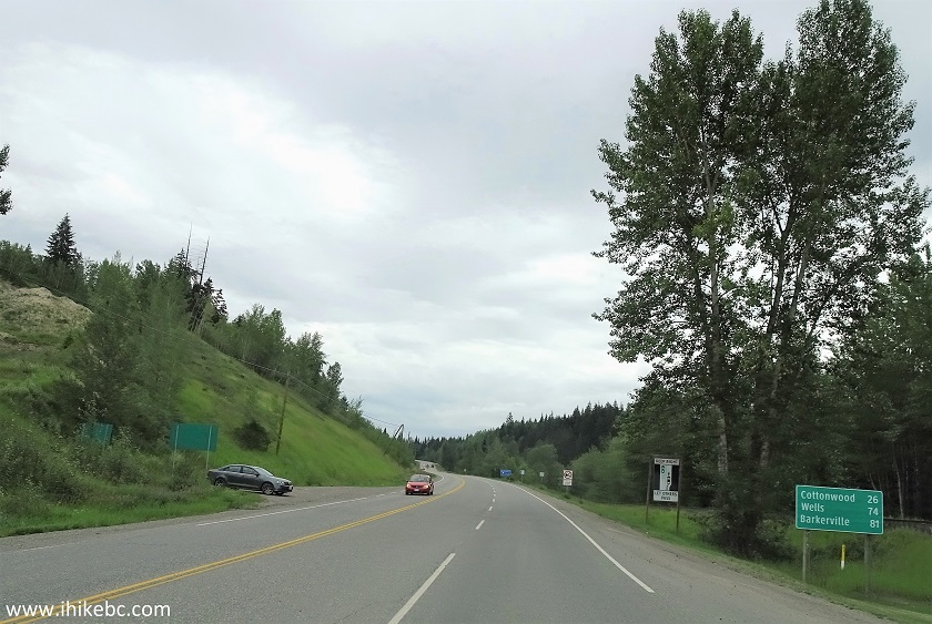
BC Highway 26 near Quesnel British Columbia
4. About 78 kilometers after turning onto Highway 26, we are driving through a small settlement of Wells.
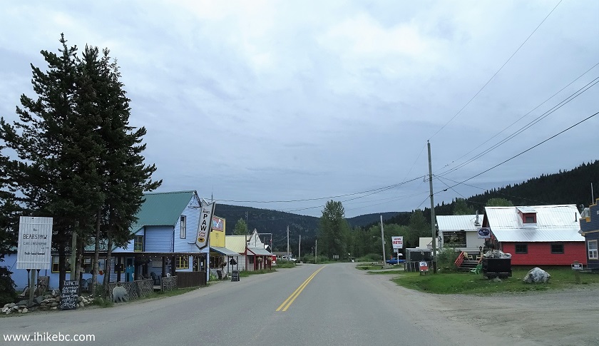
Wells BC Canada
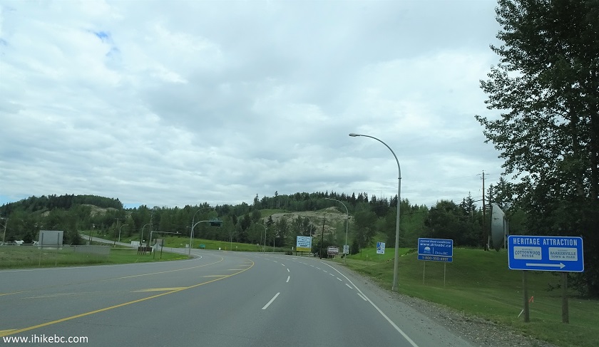
5. At the 81 km mark, going straight would lead to Barkerville 1.6 km later, and turning left onto Bowron Lake Road would lead to our today's destination, as well as Bowron Lake, if we were to take this road to the end.
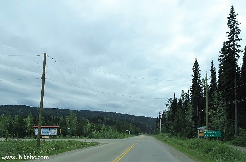
BC Highway 26 at Bowron Lake Road turnoff
6. Three hundred meters after making the left turn, make another turn to the left at this T-junction.
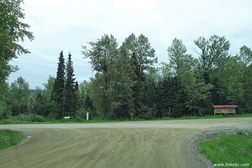
Bowron Lake Road near Wells and Barkerville British
Columbia Canada
7. Three and a half kilometers after turning onto Bowron Lake Road, Yellowhawk trailhead would be on the right side. There is a pit toilet there, as well as an enormous parking area, which can easily fit a jumbo jet. This time, there were no jumbo jets at the parking lot - just a few cars. We will have more photos from this parking area at the end of this trip report.
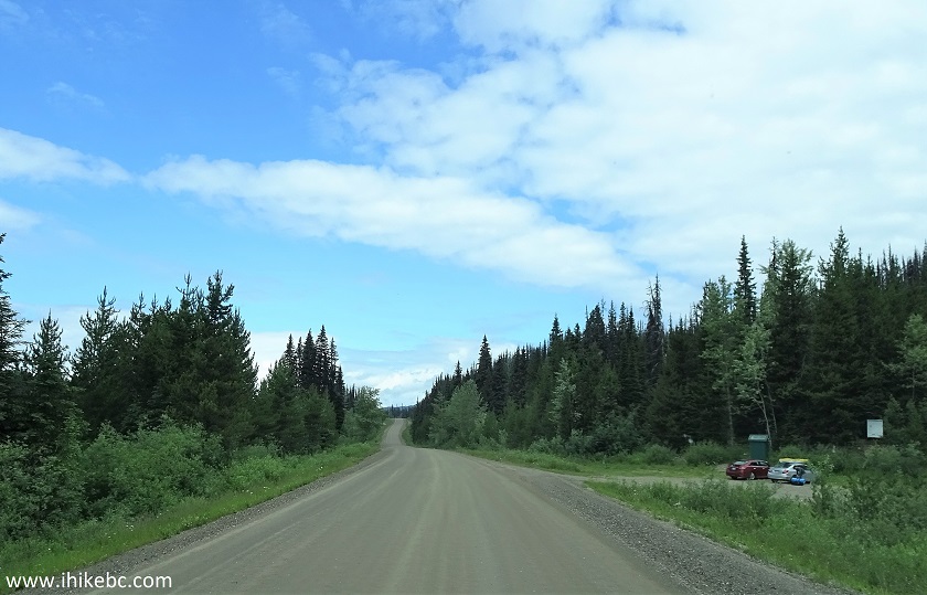
Bowron Lake Road by Yellowhawk Trailhead
8. Less than 3 kilometers later (and 87.4 km after turning onto Hwy 26 from Hwy 97), the parking area for Jubilee Trail is to the left. Not nearly as big as the one for Yellowhawk, but can easily fit a few large RVs. Coordinates for the parking area: N 53⁰07.496' W 121⁰030.308'. Elevation: 1,300 meters.
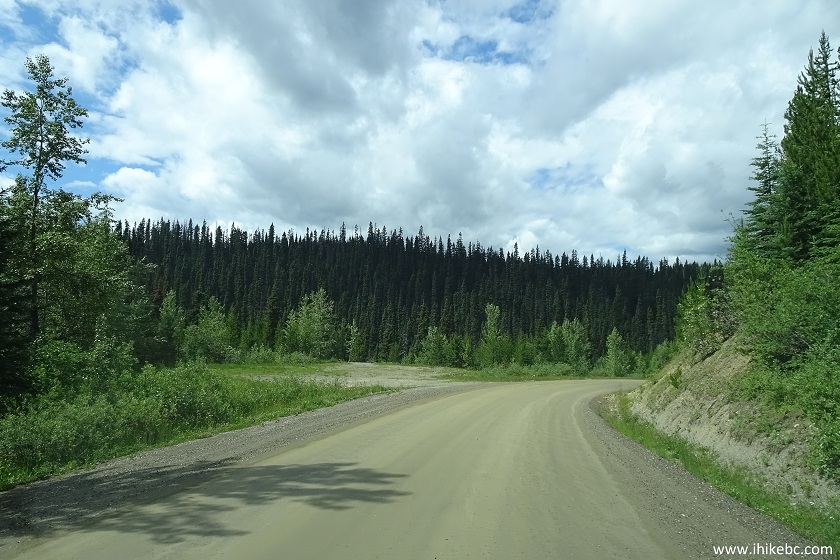
Jubilee Trail parking area off Bowron Lake Road near
Wells British Columbia Canada
9. The trailhead is on the other side of the road, a few dozen meters from the parking area, right where an avalanche info sign is in the photo below.
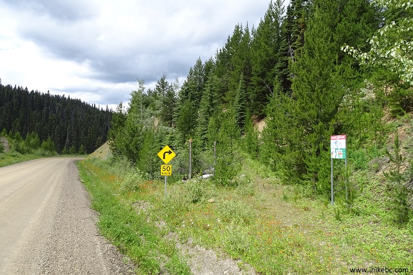
Jubilee Trail Trailhead - Hiking in Quesnel Area
British Columbia
10. Jubilee Trail has seen better days, and this trail sign is an early sign of things to come, sitting on the ground, getting old.
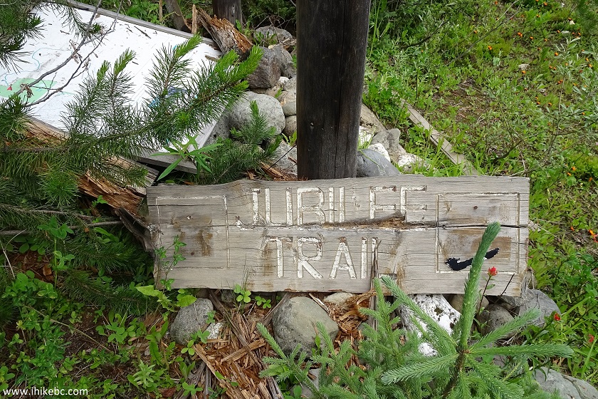
Jubilee Trail Sign - Quesnel Area Hiking BC Canada
11. The map of Jubilee and Yellowhawk trails is chilling nearby. An identical map is at the Yellowhawk trailhead. You can see how the two trails connect at Mount Murray.
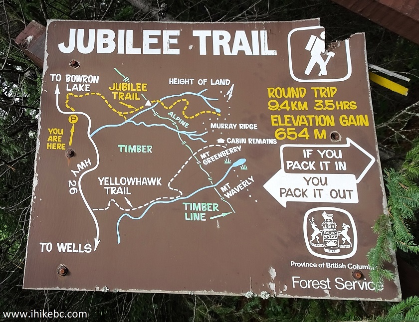
Jubilee Trail Map - Wells Hiking British Columbia
Canada
12. Off we go.
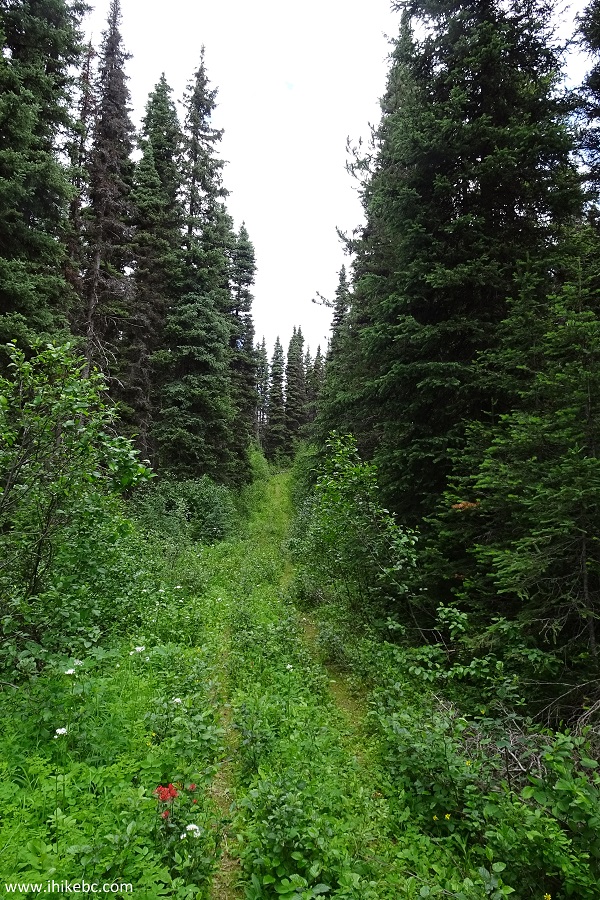
Jubilee Trail - Barkerville Hiking British Columbia
Canada
13. Jubilee Trail became overgrown in a hurry, and our rain pants saved the day, protecting both from the scratching plants and hordes of mosquitoes.
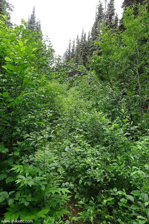
Jubilee Trail - Hiking in Wells Area BC Canada
14. A makeshift creek crossing.
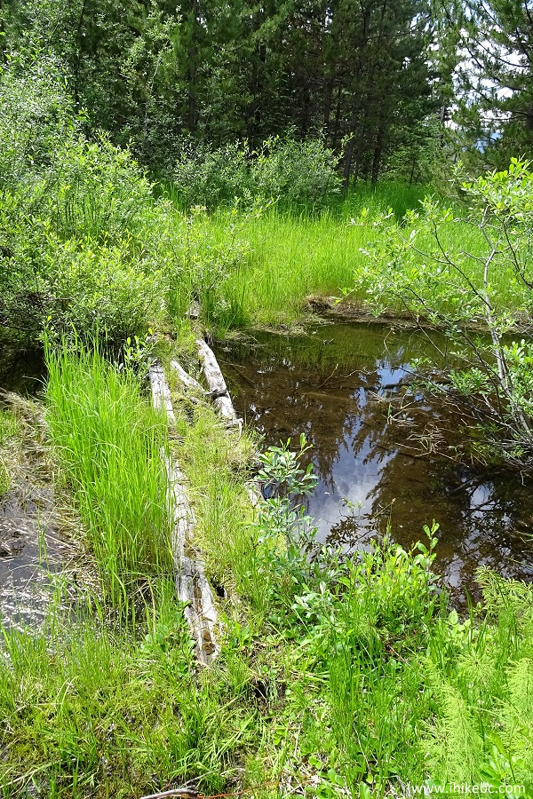
Jubilee Trail - Hiking in Quesnel Area British
Columbia Canada
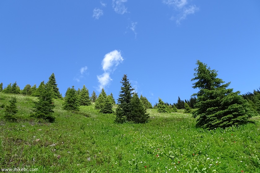
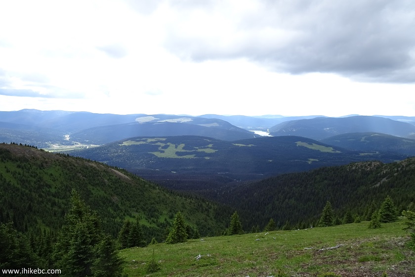
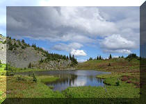
15. After 2.2 km of hiking and at the elevation of 1,455 meters, there was, finally, a half-decent view.
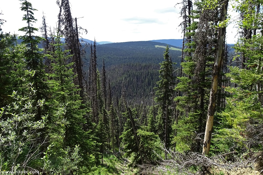
View from Jubilee Trail - Barkerville Hike in
British Columbia Canada
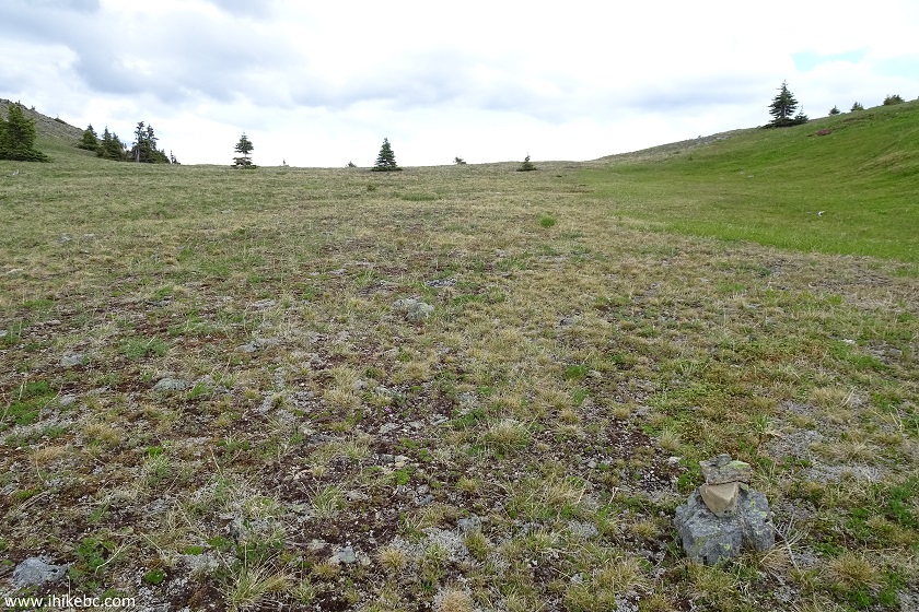
16. There are a few muddy sections on Jubilee Trail, like the one pictured below.
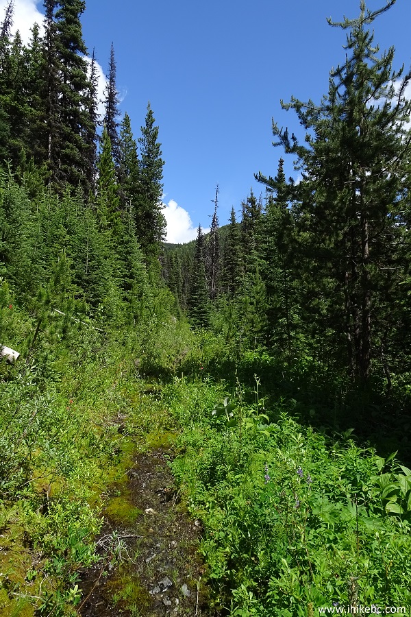
Jubilee Trail to Mount Murray near Wells and
Barkerville British Columbia Canada
17. This "end of trail" sign arrived at the elevation of 1,687 meters, and at coordinates N 53⁰07.815' W 121⁰28.127'. However, the end of the trail was yet ahead, so the sign must have been moved. Exactly the same sign is located at the end of Yellowhawk Trail too. There are no signs or cairns across the alpine for Jubilee Trail, but the overall direction of travel is rather obvious.
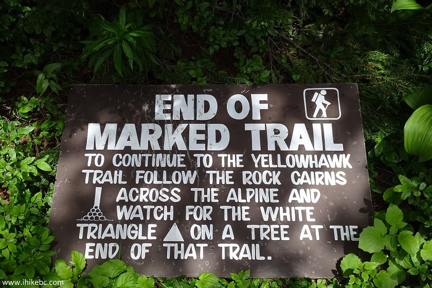
End of Trail Sign - Jubilee Trail near Wells BC
Canada
18. Once the trail in the woods ends and you emerge into a fairly open area, the steepest part of Jubilee Trail is in front of you. Our GPS with Backroad Mapbook software indicated the need to keep more to the right, but it was way too steep there, so we just climbed straight ahead.
Jubilee Trail - Wells Hike BC Canada
19. Looking back.
View from Jubilee Trail - Trail in Barkerville British
Columbia Canada Area
20. Looking more to the left while looking back, we could see the town of Barkerville, which we visited the next day. 30x zoom used.
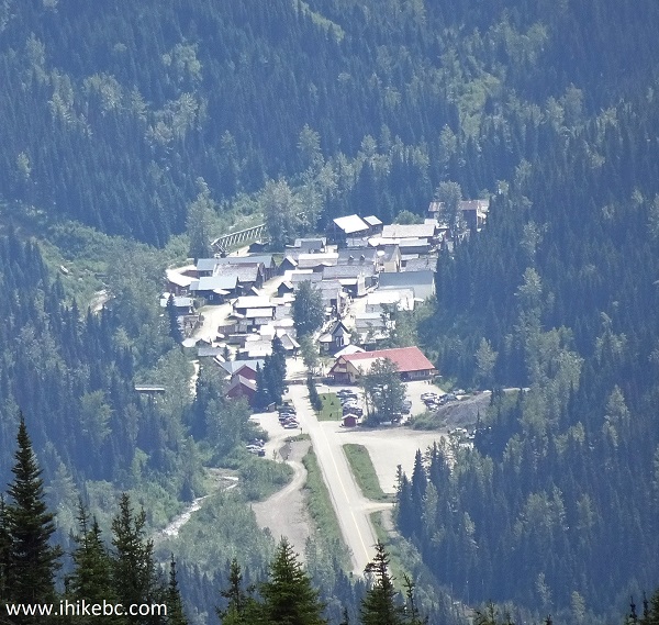
Barkerville seen from Jubilee Trail
21. Looking back one more time.
View from Jubilee Trail to Mount Murray near Wells
and Barkerville British Columbia Canada
22. Almost at the top of this climb.
Jubilee Trail -Wells Hiking Province of BC Canada
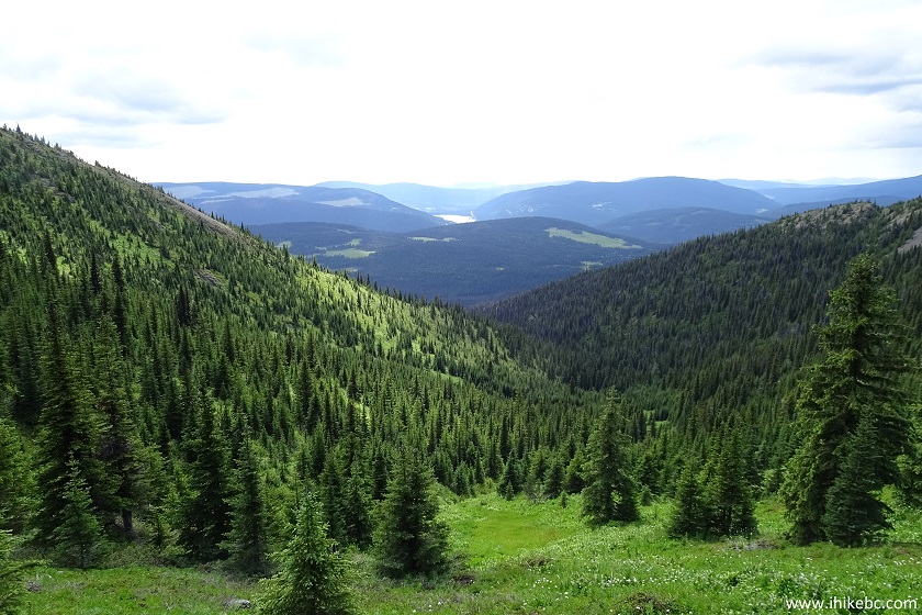
23. And it was all worth it, as we were treated to the best view of the hike. If you hike Yellowhawk Trail, be sure to keep going past the communication tower to get to this view.
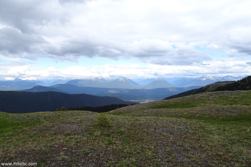
View from Mount Murray - Hiking in Barkerville
British Columbia
24. Now with a slight zoom. Coordinates: N 53⁰08.011' W 121⁰27.644'. Elevation: 1,940 meters (640 meters elevation gain from the start of the trail).
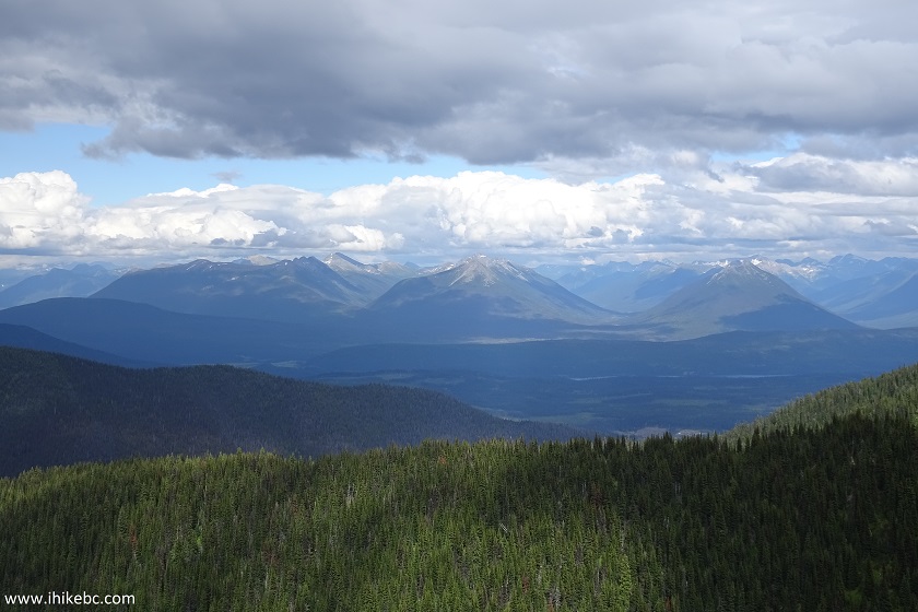
British Columbia Hiking in Wells Area
Our Murray Mountain Hike Trip Report Continues on Page 2.


|
 |
Other Trips:


![]()


![]()
![]()
![]()
ihikebc.com Trip 137 - Mount Murray Hike (near Wells/Barkerville BC) Page 1 of 2