![]()
![]()
![]()

Trip 277 - May 29-31, 2023 (Monday-Wednesday)
Mamquam River Forest Service Road Visit
Near Squamish BC
Page 1 of 2
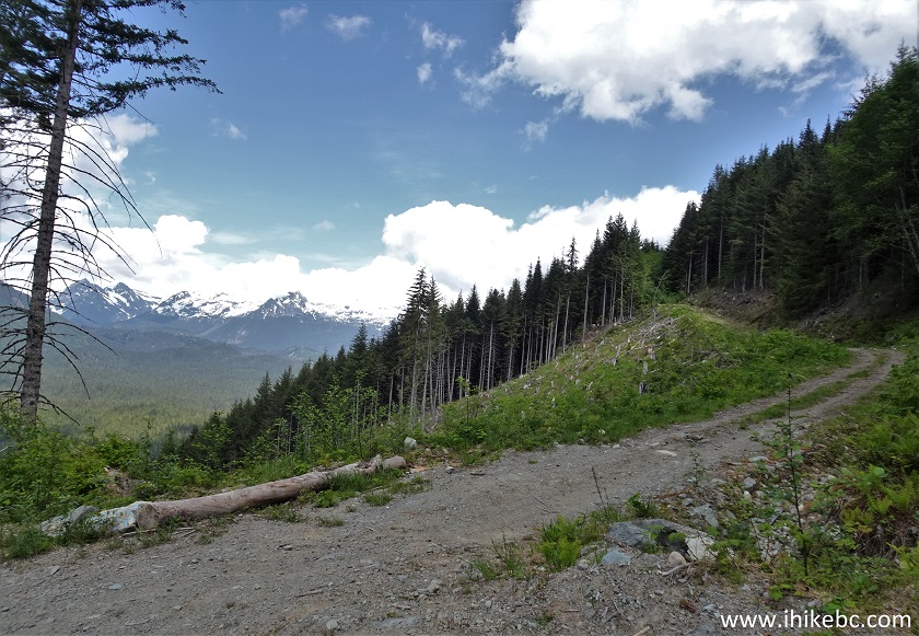
Of Note: Many potholes reduce realistic speed to 25-30 km/h at most, road surface is rough - good tires are essential, passing vehicles raise some dust, signs prohibit camping for the first 3 km or so of the FSR, a steep hill at 27.5 km would stop 2WD vehicles.
Vancouver, Coast & Mountains Backroad Mapbook (2019 edition) Mamquam River FSR Start Coordinates: Page 22 (Squamish) C7.
Other Forest Service Roads Trips: Chehalis (by Harrison Mills), Chilliwack Bench, Chilliwack Foley, Chilliwack Lake, Chuchinka-Colbourne (North of Prince George), Clear Creek (off Harrison East), Florence Lake (access to Stave Lake by Mission), Harrison East, Harrison East Second Trip, Harrison West, Jones Lake (by Hope), Lost Creek (by Mission), Nahatlatch (by Boston Bar), Parsnip West (near Mackenzie), Scuzzy (by Boston Bar), Shovel Creek (off Harrison East), Sowaqua Creek (by Hope), Squamish River Main, Squamish River Ashlu, Squamish River E-Main, Squamish River FSR Washout, Windfall Creek (by Tumbler Ridge).
Follow @ihikebc Tweet
Mamquam River Forest Service Road is located near Squamish, and is a fine place to camp, whether you are driving by (it starts right off Highway 99), or plan to stick around for a bit and check out a whole lot of activities Squamish has to offer. There are dozens of pullouts along Mamquam River FSR, big enough to fit even a small Class C RV. This road has numerous potholes and a rather rough surface, so good tires are essential, especially if you would like to drive deep into the wilderness. There are many side roads to explore, and it appears to be a popular snowmobile destination in the winter. We managed to drive in our medium clearance 2WD vehicle to the 27.5 km mark on the odometer (official markers are off by a few hundred meters). At that point, there was a split where branch E-100 continued for at least 2.5km (we did not go past a sign prohibiting entry without permission due to a worksite), and Mamquam River FSR at that same split veered to the left, where a steep hill with loose surface stopped us in our tracks. So, we hiked for another 4.2 km to the apparent trailheads for Mt. Gillespie and Seed Peak, but there was way too much snow to hike any further.
While Mamquam River Forest Service Road does run by Mamquam River for a bit, there are not too many camping spots near the river, though there is one very well-made unofficial campsite at the 16.8 km marker. Further, there is an official campsite with a picnic table and even a pit toilet at the 14.3 km mark of the FSR, where one can launch a kayak and head downstream. Finally, there are numerous side roads which we have not explored, but which appeared rough and steep enough to require a capable 4x4 or an ATV.
*All Mamquam River FSR distances are based on a vehicle odometer until the 27.5 km mark, then on a GPS odometer, which is approximate. Markers along the road are usually off by 200-400 meters or more.
1. Here is a Google Maps location of Mamquam River Forest Service Road where it starts off BC Highway 99 (Sea-to-Sky). It's about 200 meters South of Valley Drive, and 1.8 km South of Highway 99 / Cleveland Avenue major intersection by downtown Squamish.
2. We are Southbound (towards Vancouver) on BC Highway 99 (Sea-to-Sky) in Squamish. The left turn lane leads to Mamquam River FSR. A sign before the intersection states "Forestry Rd ahead".
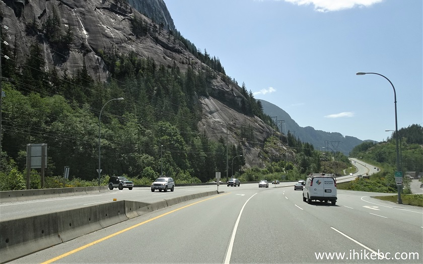
BC Highway 99 Sea-to-Sky in Squamish BC Canada
3. Having turned left, Mamquam River FSR starts straight ahead.
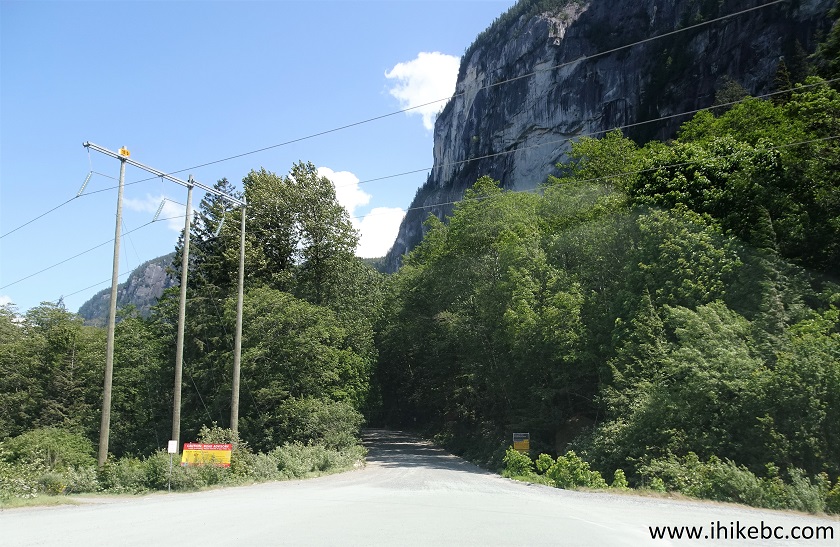
Mamquam River FSR Start ahead
4. Here it is. Coordinates: N 49⁰41.331' W 123⁰08.779'. Elevation: 60 meters.
Start of Mamquam River Forest Service Road near
Squamish BC Canada
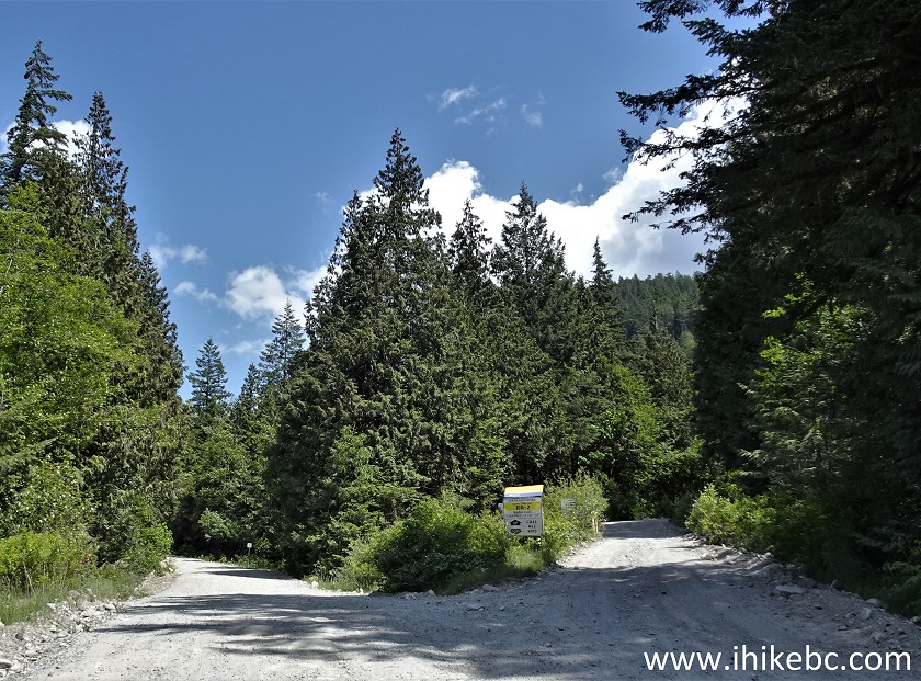
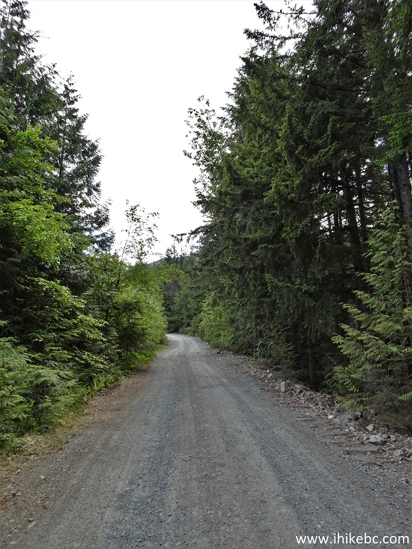
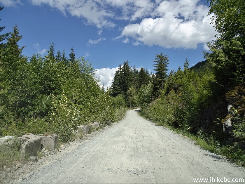
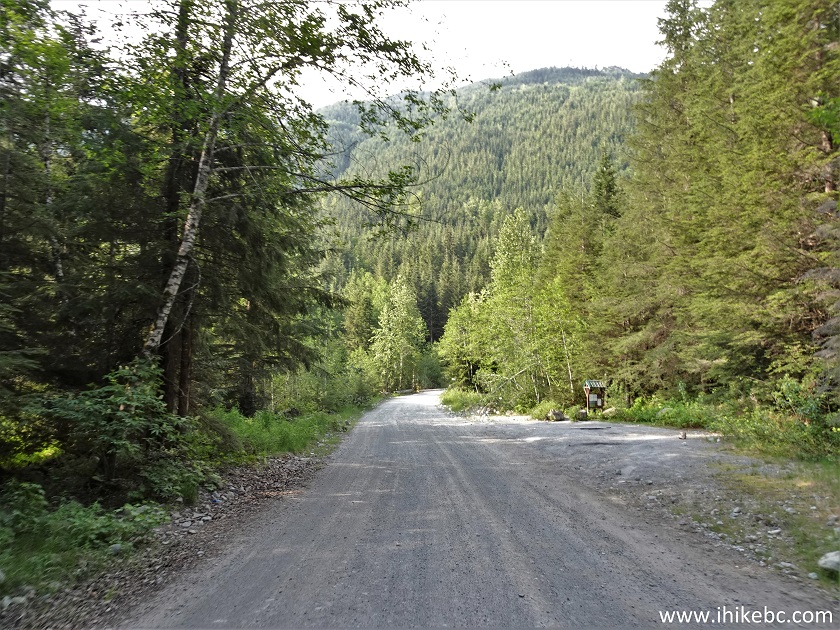
5. Mamquam River FSR at 0.7 km. The road looks like this more or less all the way until the 27.5 km mark (split with E-100 branch), with no major hills, no cross-ditches, and no excessively rough sections. Regular clearance 2WD vehicles (with good tires!) should be ok here.
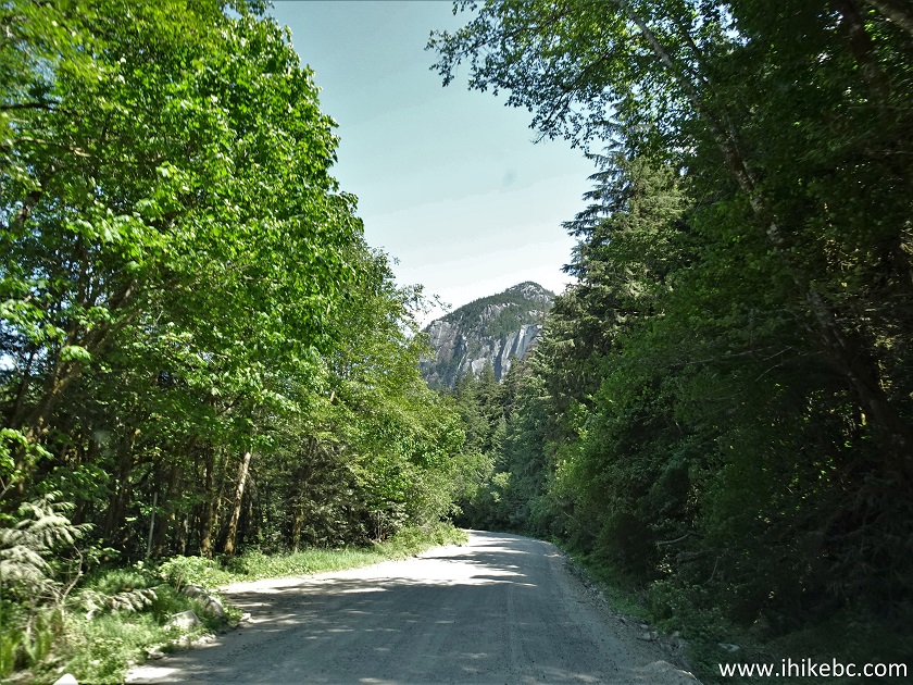
Mamquam River FSR
Here is our video of driving near the start of Mamquam River FSR:
More ihikebc videos are on our YouTube Channel.
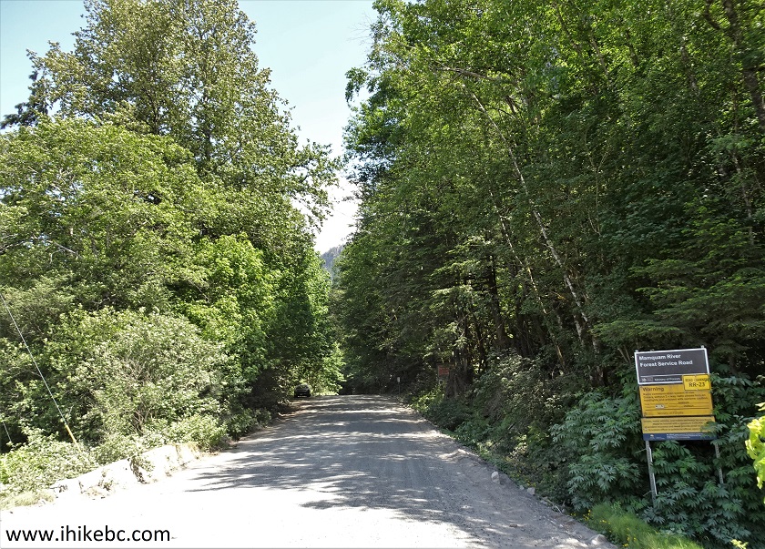
6. Signs prohibit camping for the first 3 km or so of the road.
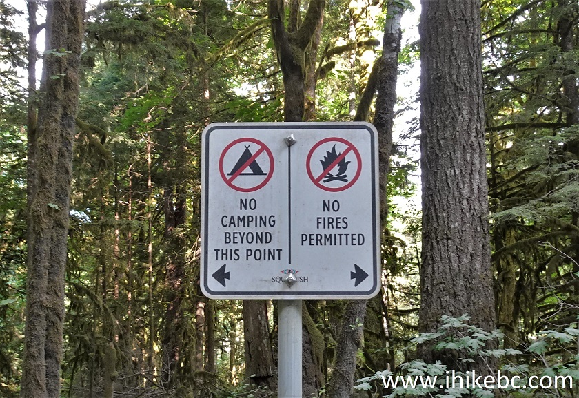
Mamquam River FSR No Camping Sign
7. At 3.8 km, there is a major split, with Mamquam River FSR continuing on the Left side, and Stawamus Indian River FSR (which, according to Backroad Mapbook, goes all the way to Indian Arm near Buntzen Lake), starts on the Right side.
Stawamus Indian FSR Start at Mamquam River FSR near
Squamish BC
8. Now at the 4.5 km mark of Mamquam River FSR.
Mamquam River Forest Service Road
9. If you want to spend a night near Squamish in your vehicle, Mamquam River FSR is not a bad place to do so. Here is one of the numerous pullouts you can use.
Mamquam River FSR by Squamish British Columbia Canada
10. While we have not encountered industrial traffic, there are numerous signs of past logging activity, and that may affect your stay as far as noise and a bit more dust. This is the only piece of equipment we found.
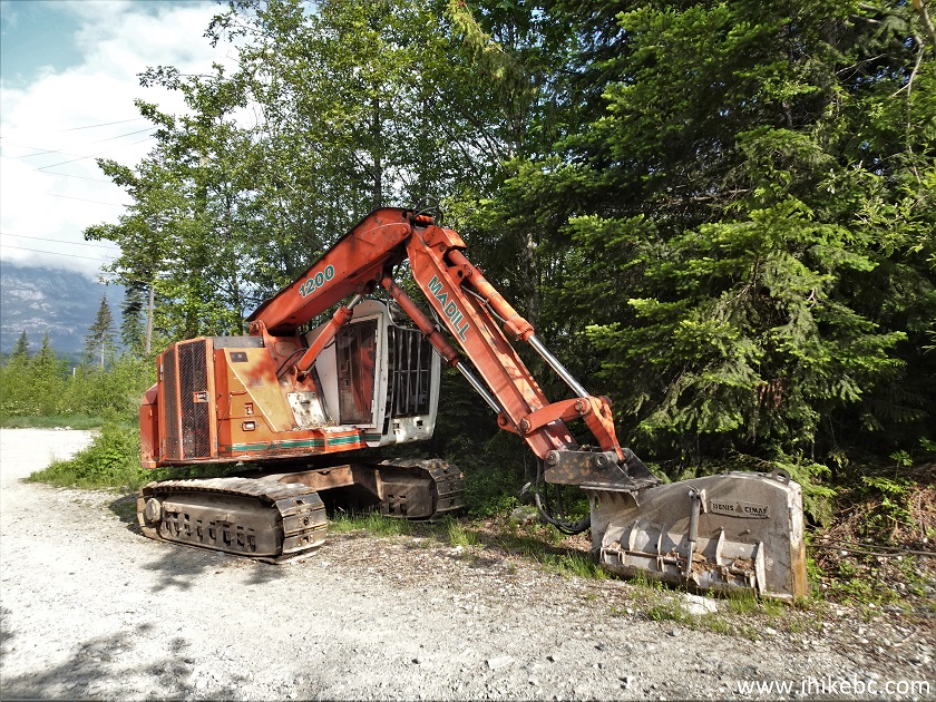
Industrial Equipment on Mamquam River FSR
11. There are a few bridges on Mamquam River FSR, like this one at 8.9 km. And these bridges are rated for some serious numbers - one was good for 136 tonnes!!!
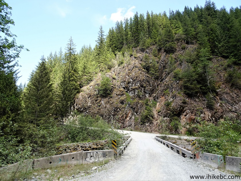
Bridge on Mamquam River Forest Service Road
12. At 9.8 km, there is a major split just past a water tower. Coordinates: N 49⁰43.033' W 123⁰02.383'. Elevation: 425 meters.
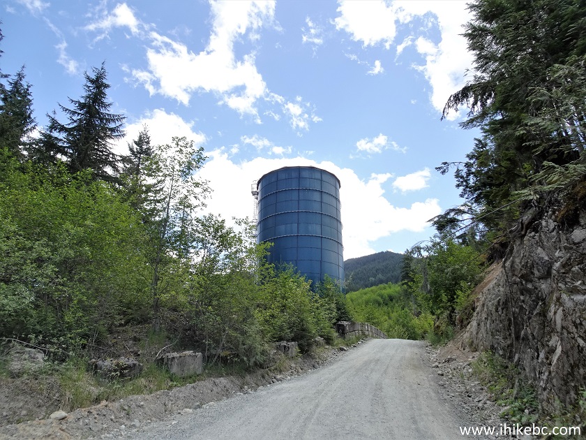
Mamquam River FSR Water Tower
13. Going left is the continuation of Mamquam River FSR, and, to the right, is a branch road which has numerous cross-ditches (we counted 52 until we got stopped by snow exactly at the 5 km mark of the branch road). Medium clearance is required for the branch road due to all these cross-ditches. Turning right onto the branch road very shortly leads to an open air gun range of sorts, and then to a few decent mountain views. So, here is the split.
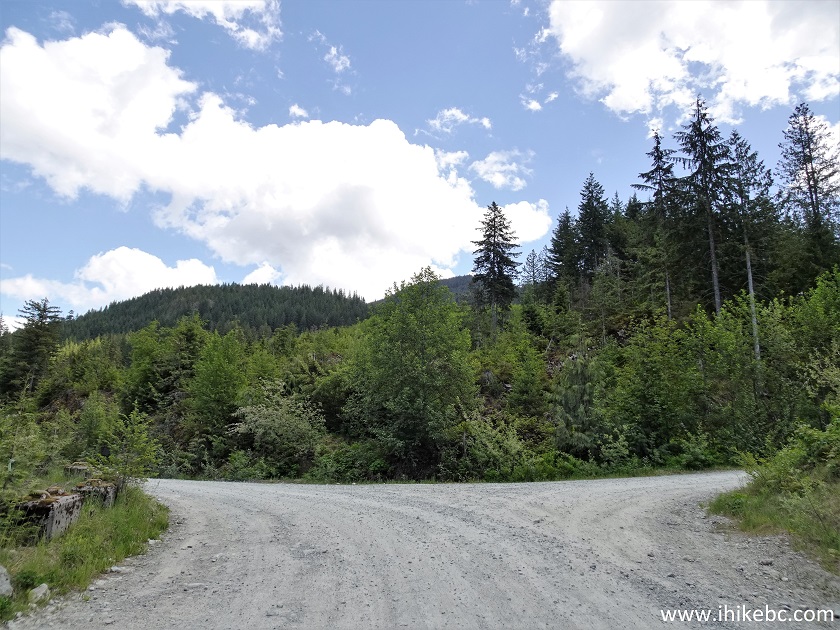
Mamquam River Forest Service Road near Squamish
British Columbia Canada
14. At first, we turned right and checked out the branch road. Here it is 500 meters from the split.
Branch Road off Mamquam River FSR
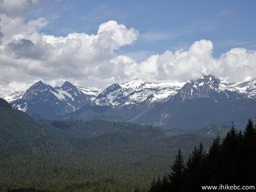
15-16. At 900 meters, a decent mountain view (plain and zoomed).
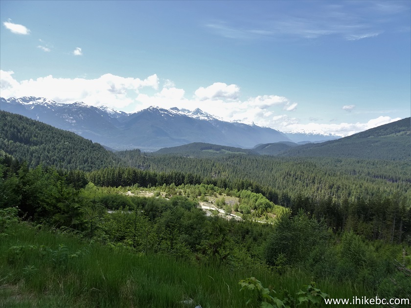
Mountain View off Mamquam River FSR
branch road
17. Now at the 1 km mark of the branch road.
Branch Road off Mamquam River FSR
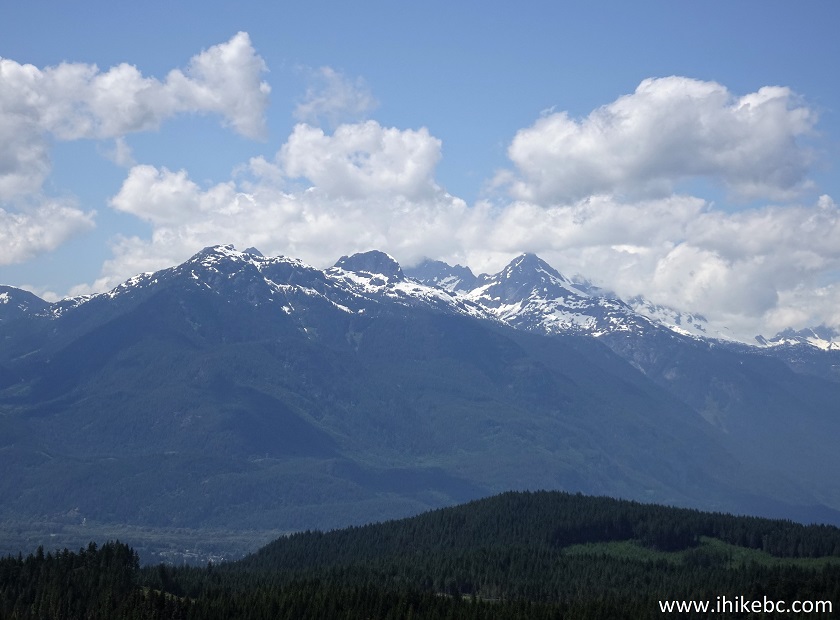
18-19. Another fine mountain view arrived at the 3 km mark (plain and zoomed).
Mamquam River FSR Branch Road
20-21. And, exactly at the 5 km mark of the branch road, we got stopped by snow.
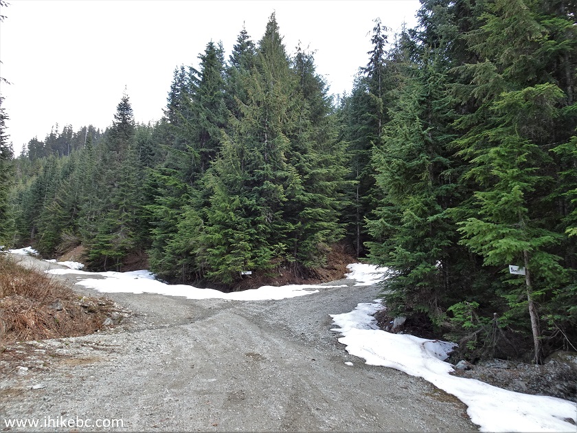
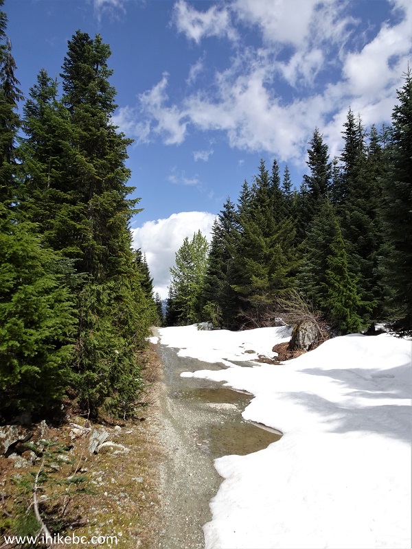
Snow on Mamquam River FSR branch road
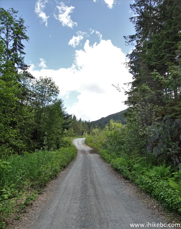
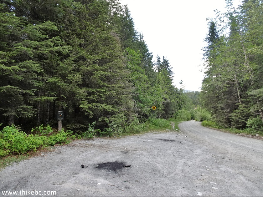
22. We then returned to the split seen in photo #13 and took the road on the left, which is the continuation of Mamquam River FSR.
Mamquam River Forest Service Road
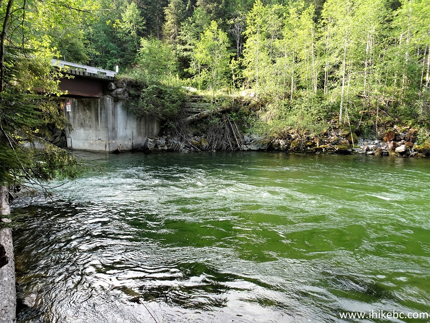
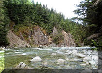
23. At 13.2 from from the start of Mamquam River FSR, there is a bridge across Mamquam River.
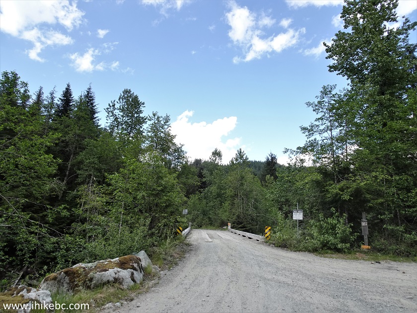
Mamquam River FSR Bridge
24. A fine view from the bridge.
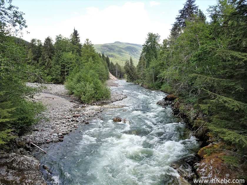
Mamquam River
25. And, right after the bridge, there is a small campsite with the only pit toilet we could find along the entire FSR.
Mamquam River FSR campsite parking
26-27. An info stand explains that this is the right place to launch a kayak.
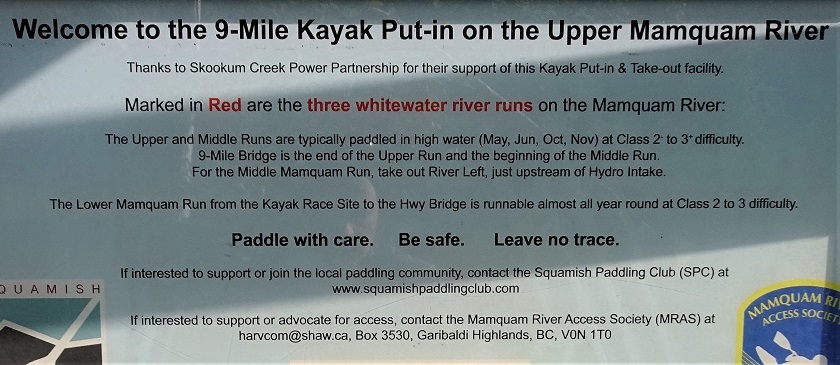
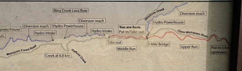
Mamquam River Kayaking Map
28. Looking at the campsite parking area and the info stand from the other side.
Campsite parking on Mamquam River Forest Service Road
29. The campsite has a picnic table.
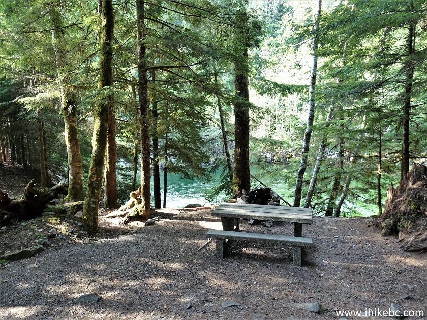
Mamquam River FSR campsite picnic table
30. Just past the table, there are stairs to the river.
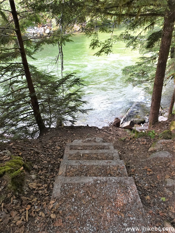
Mamquam River FSR Campsite stairs to Mamquam River
31. Alas, the last several steps have been damaged.
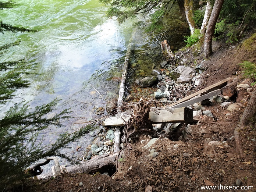
32. Mamquam River at this spot.
Mamquam River Kayak Launching Area off Mamquam River
FSR
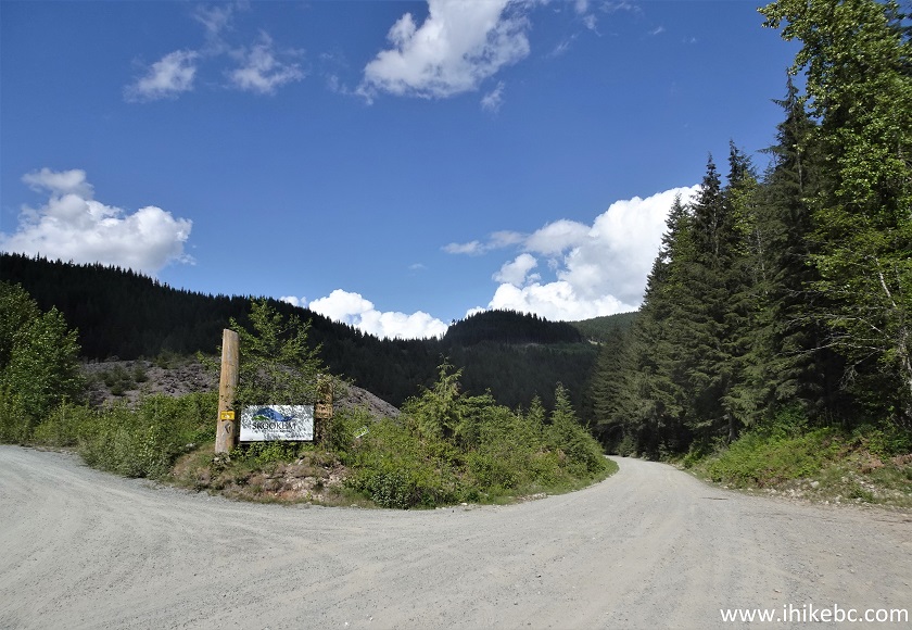
33-34. Moving on, at 13.6 km there is Skookum Creek Power Project.
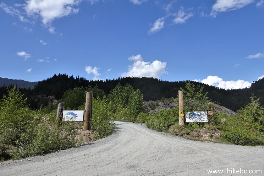
Skookum Creek Power Project Entrance off Mamquam
River FSR
Mamquam River Forest Service Road by Squamish BC
Our Mamquam River FSR Trip Report Continues on Page 2.


|
 |
Other Trips:


![]()
![]()
![]()
Follow @ihikebc Tweet
ihikebc.com Trip 277 - Mamquam River FSR Visit (near Squamish BC) Page 1 of 2