![]()
![]()
![]()

Trip 194 - July 24, 2020 (Friday)
Perkins Peak Trail Hike
Near Tatla Lake BC
Page 1 of 2
Trailhead Location: About 265 kilometers West of Williams Lake via BC Highway 20 and Miner Lake FSR. Close to the settlement of Tatla Lake.
Liked: Mountain views, lake views, several fine views from the access road (Miner Lake FSR), few bugs when windy, the ability to bike (or, even, drive) for most of the trail.
Cariboo Chilcotin Coast BC Backroad Mapbook (4th edition) Trailhead Coordinates: Page 13 (Tatlayoko Lake) A2.
Related Trip Report: BC Highway 20 (Williams Lake to Bella Coola).
Perkins Peak is a fine-looking mountain located close to other fine-looking mountains in the remote Chilcotin region of British Columbia. BC Highway 20 starts in Williams Lake off BC Highway 97 (check out our BC Highway 20 trip report for more details). About 245 kilometers later, shortly past the unincorporated settlement of Tatla Lake, Miner Lake Forest Service Road begins on the left side. Just under 30 km after that, a series of back roads lead to the foot of Perkins Peak. Another two hours or so, from what we have read, would be required to get to the top, located at the altitude of 2,819 meters, as per the Backroad Mapbook.
Your vehicle's ability would determine how far down Miner Lake FSR you would be able to get before having to hike or bike. We've made it to 11.7 kilometers, where a makeshift bridge over a washout made it too risky for our high-clearance 2WD vehicle to proceed. One small SUV made it much closer, while a pickup truck drove to the end of the access road, where a pipe prevents further vehicular access.
We thus ended up hiking and biking for over 18 km to the foot of Perkins Peak, and had neither time nor desire to climb that mountain. That said, there were plenty of great views to be had, and, even if you don't end up at the top of the peak, this trail is one neat hiking / biking / driving adventure.
1. We are Westbound on BC Highway 20 (towards Bella Coola), about 25 kilometers West of Tatla Lake, getting ready to turn left onto Miner Lake Forest Service Road.
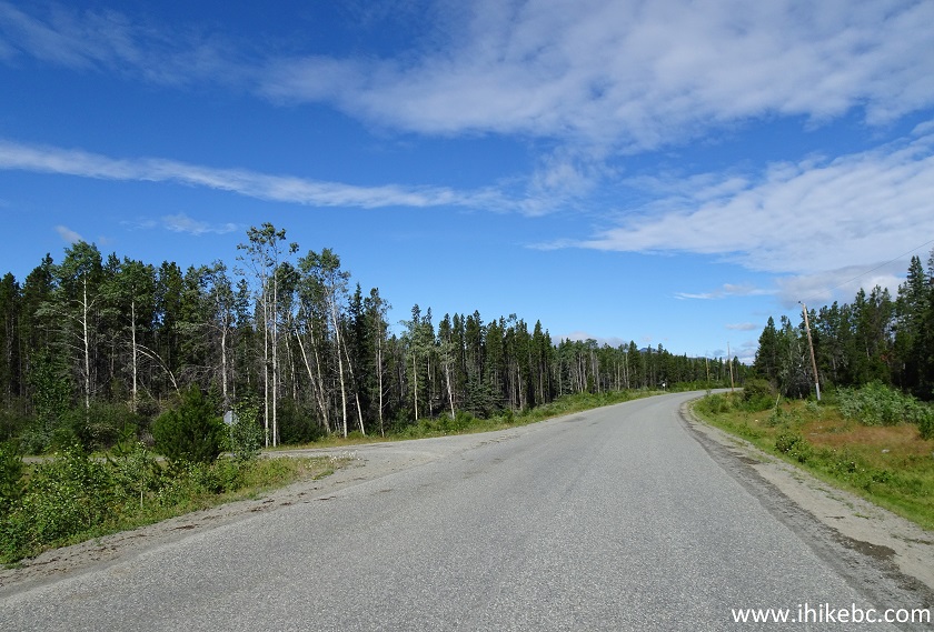
BC Highway 20 Westbound at Miner Lake FSR Turnoff near Tatla Lake
British Columbia
2. Miner Lake FSR immediately after the turn. Coordinates: N 51⁰57.212’ W 124⁰54.456’. Elevation: 949 meters.
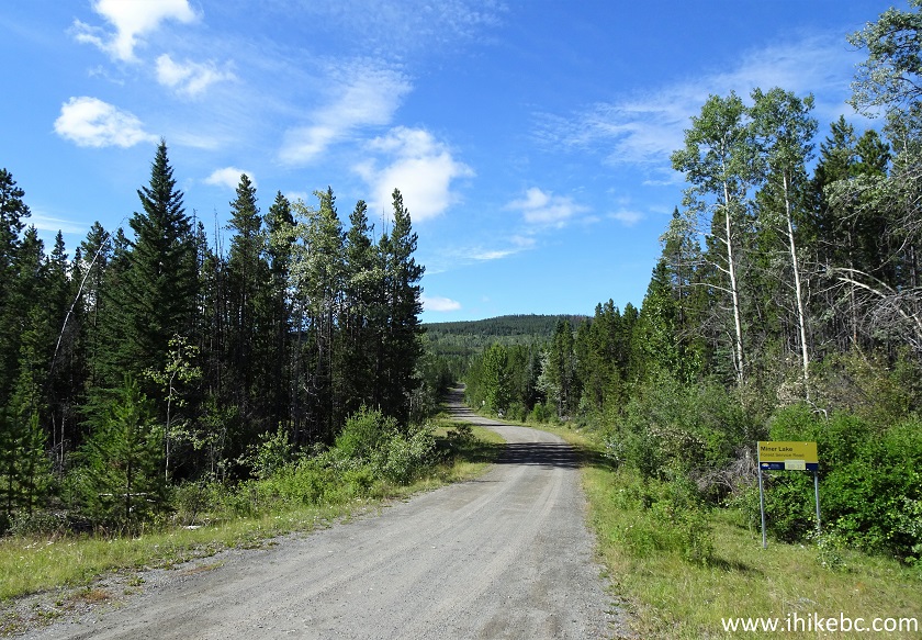
Miner Lake Forest Service Road
3. Miner Lake Forest Service Road is somewhat rough, but should be suitable for most vehicles until major obstacles start showing up.
Miner Lake FSR
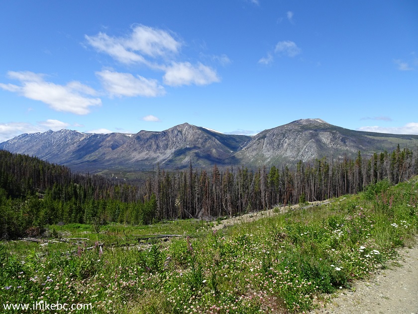
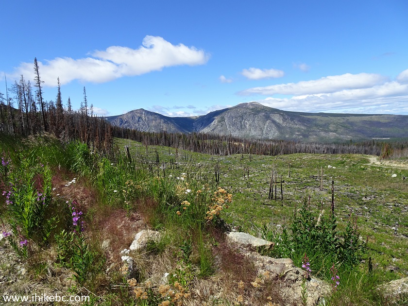
4. Good views start arriving at around the 7 km mark. This one is at 7.5 km.
Miner Lake Forest Service Road near Tatla Lake BC Canada
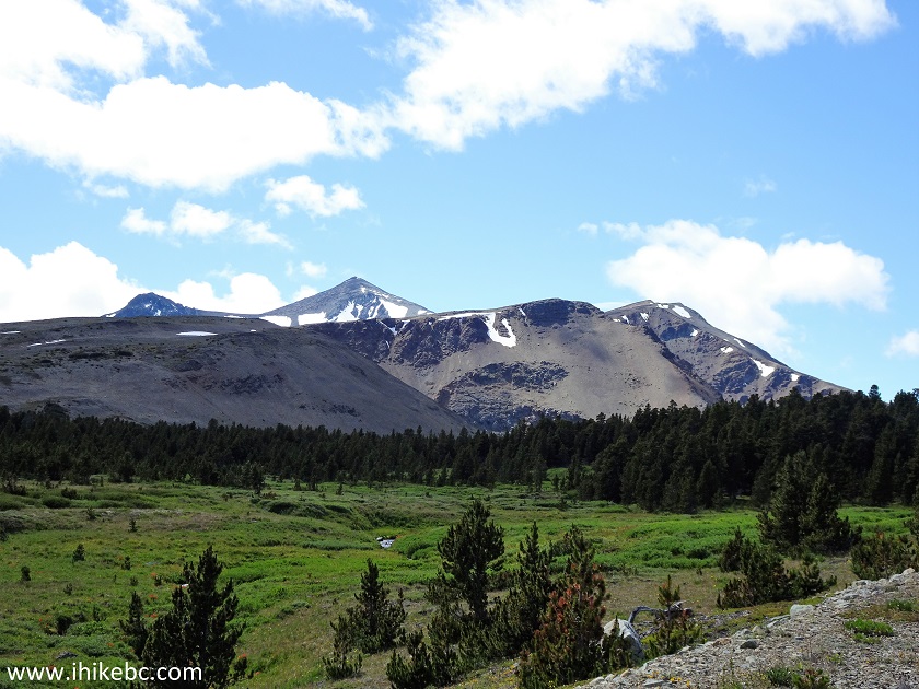
5. Now with a zoom. That's Perkins Peak on the right side.
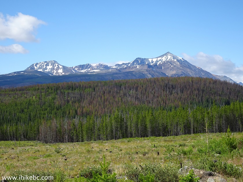
Perkins Peak seen from Miner Lake FSR
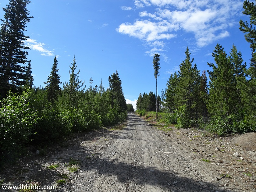
6. At 8.0 km of Miner Lake Forest Service Road.
Miner Lake Forest Service Road British Columbia Canada
7. We parked on the right side at 11.7 km. Here is the parking area coming up.
Miner Lake FSR
8. It's a very large spot, enough for many vehicles.
Parking area by Miner Lake FSR
9. And the reason why we stopped driving and started biking and hiking is this.
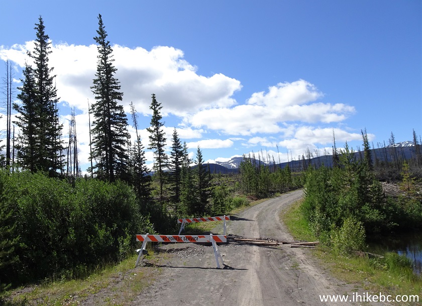
Miner Lake FSR Washout at about 12 km
10. There is a washout 140 meters past the parking spot. Some logs created a bridge of sorts, but we did not want to risk getting stuck there. So, biking and hiking it was. Further mileage is still from the beginning of Miner Lake FSR, but could be off by a few hundred meters, as it is based on a GPS trip odometer.
Miner Lake FSR makeshift bridge
11. In just under 2 km after the washout, a left turn would lead shortly to Miner Lake and its recreation site, if we read the map correctly. We turned to the right.
Miner Lake Forest Service Road near Tatla Lake British Columbia Canada
12. A fine view followed shortly.
Miner Lake FSR
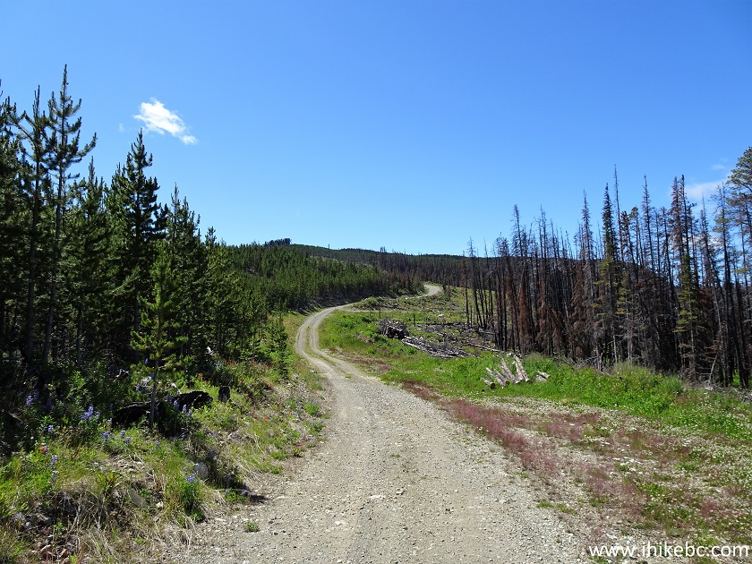
13. There was a forest fire in this area several years ago, and crews are cutting down burned trees. Thus, Miner Lake FSR may be closed, while this activity is happening by the side of the road. Alas, there is no posted sign to that effect at the beginning of the FSR at Highway, so you may end up going all the way up to this point (16.8 km) to find out that the road is closed. On a positive note, it looks very neat when the burned trees are removed, as it opens up previously hidden natural vistas.
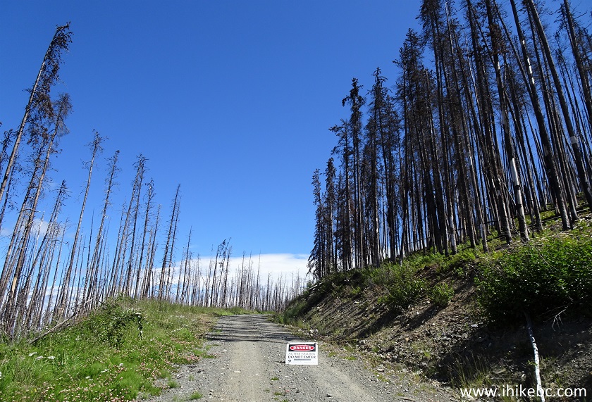
Miner Lake FSR Close by Tree Cutting Crew
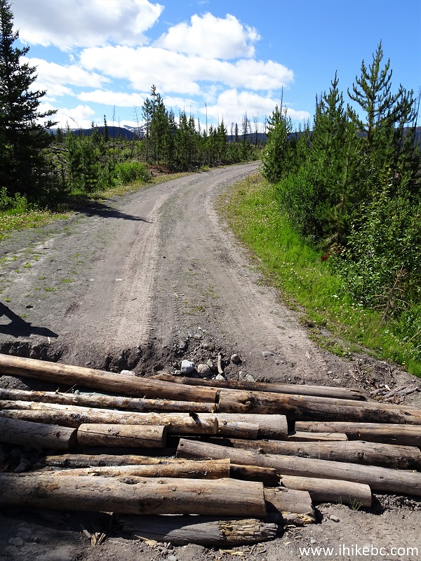
14. When it is safe to proceed, about 400 meters past the spot seen above is a very strange split. Coordinates: N 51⁰51.711’ W 124⁰59.332’. Elevation: 1,447 meters. The road on the right has a "closed" sign. Apparently, there was a washout there, but all we could find were two cross-ditches, which should not be a problem for capable 4x4 vehicles. Anyway, if you are driving, a sign directs you to go straight at this split. Since we have seen two vehicles near the end of the trail, there is certainly a way for motorized traffic to get through here.
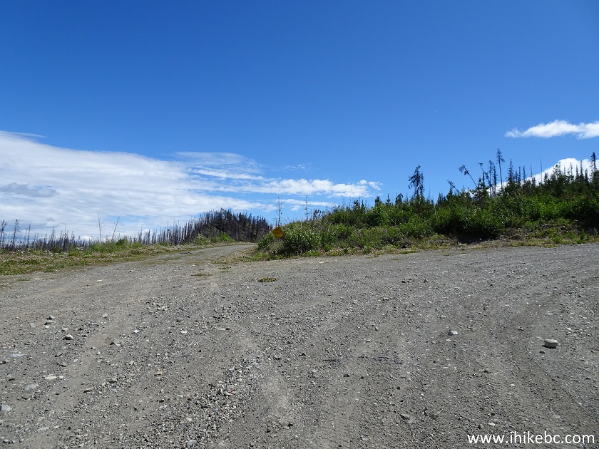
Miner Lake FSR BC Canada
15. We turned to the right, and this is what it looked like.
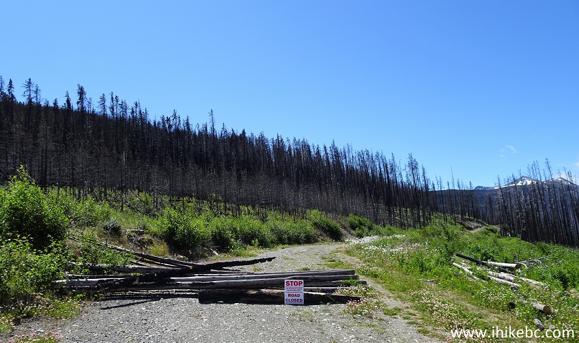
Miner Lake FSR road closed
16. A bit further.
Miner Lake Forest Service Road
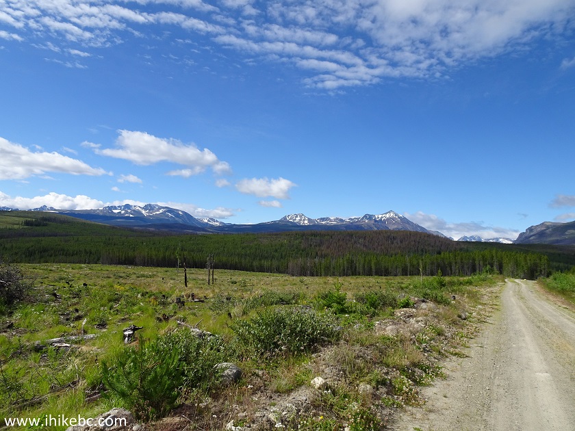
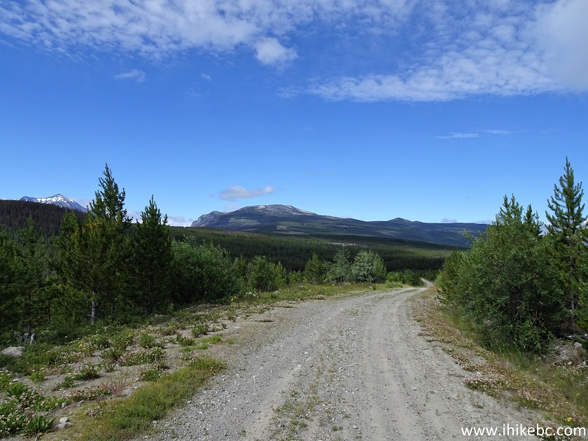
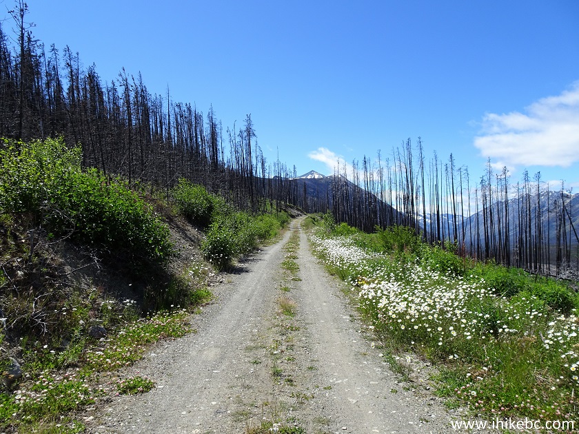
17-18. A very fine view at 18.2 km.
View from Miner Lake Forest Service Road
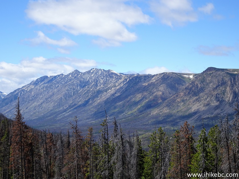
Zoomed View from Miner Lake FSR near Tatla Lake British Columbia
19. At 18.7 km, a road from the left is probably the end of the bypass road for motorized vehicles (which begins on the left side in photo #14), as just behind us at this spot is another "road closed" sign. We turned to the right again.
Miner Lake FSR
20. Looking right at 19.7 km.
View from Miner Lake Forest Service Road
21. Miner Lake FSR continues. Now at 20.2 km.
Miner Lake FSR
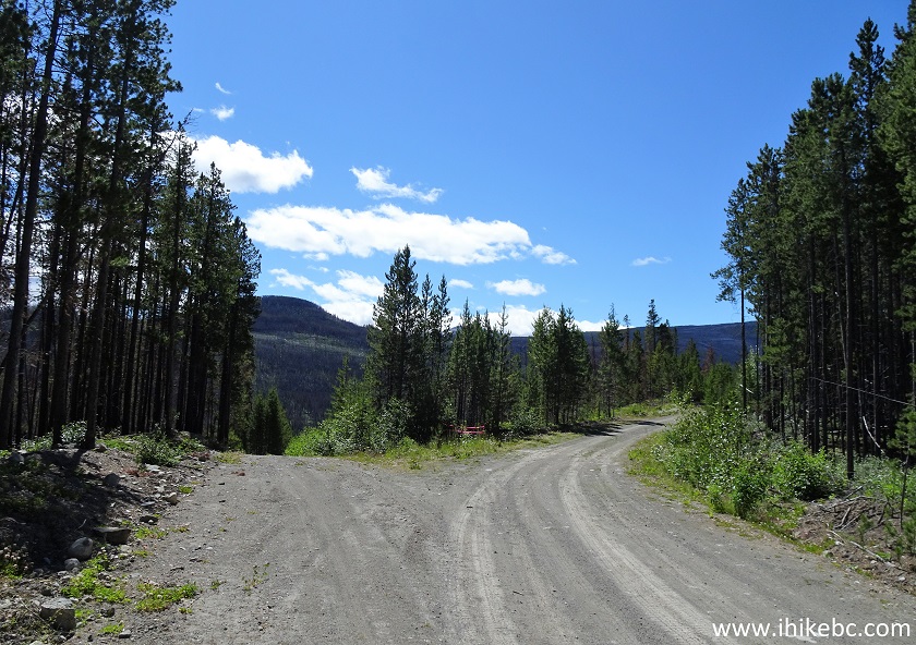
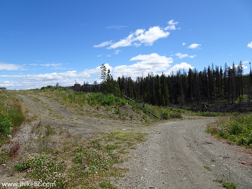
22. At 20.3 km, there is a split. Go straight/left.
Miner Lake Forest Service Road
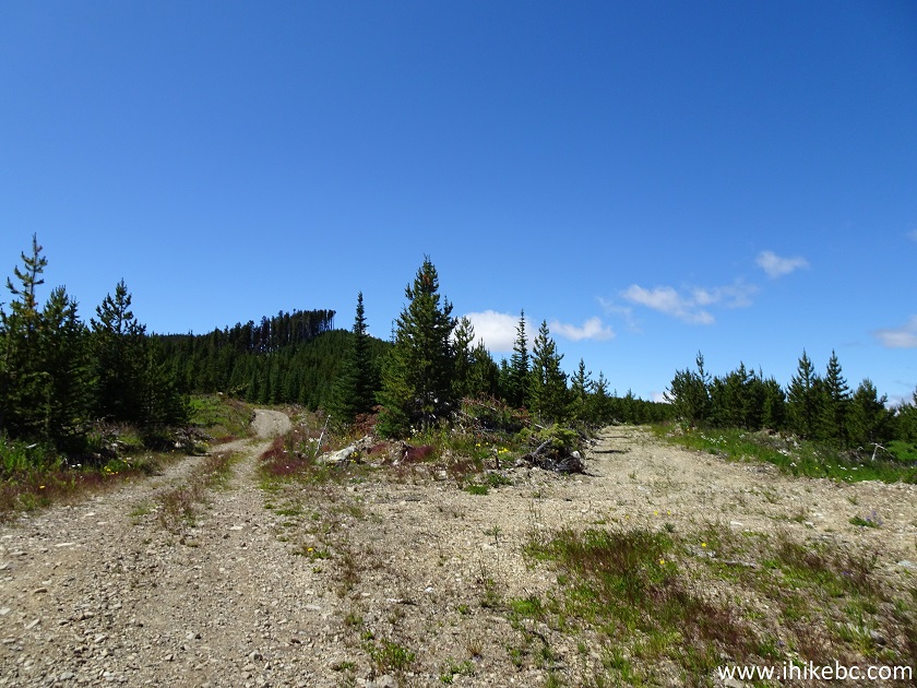
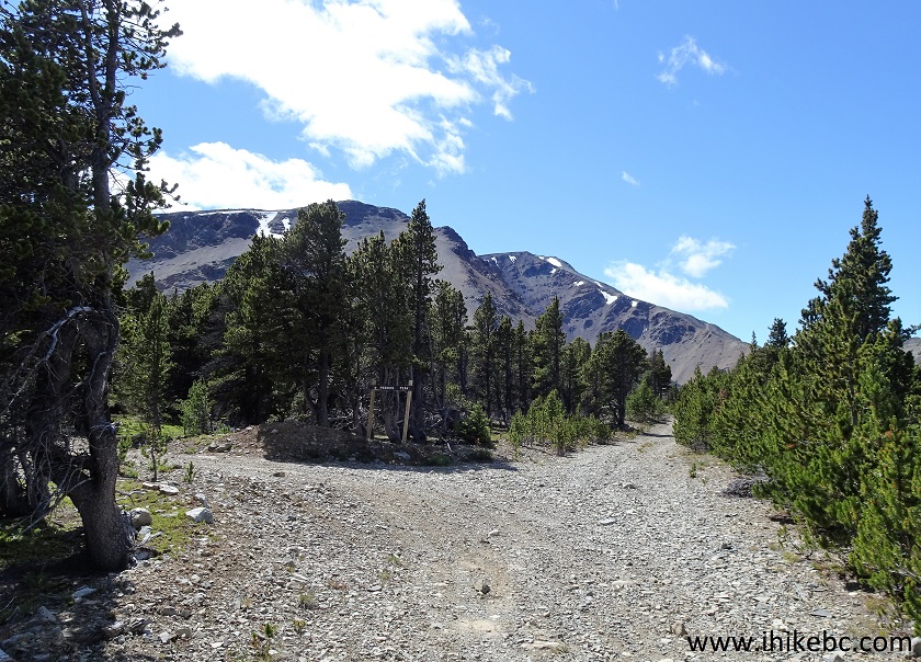
23. The first sign for Perkins Peak Trail appears at 20.6 km. At this split, go right. Miner Lake FSR, probably, keeps going straight, though it's hard to tell. However, the last mileage marker we saw was at 19 km, so, chances are, right here is where Perkins Peak Trail goes its separate way.
Miner Lake FSR at Perkins Peak Trail Turnoff
24. Here is that first sign and the road on the right side.
Perkins Peak Trail Stat at Miner Lake FSR
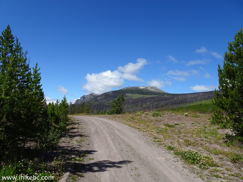
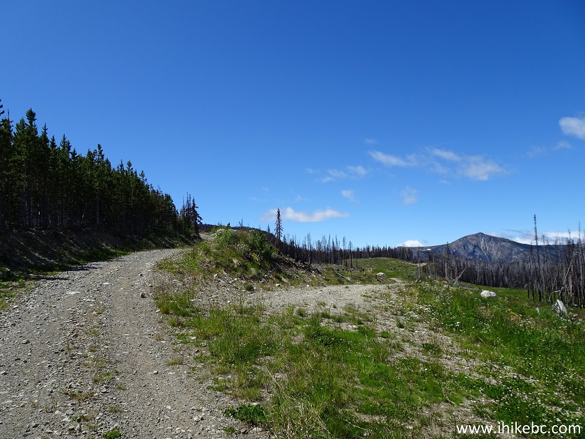
25. After the first sign, the road becomes appreciably steeper and rougher than before. But, good views are still around.
View from Perkins Peak Trail British Columbia Canada
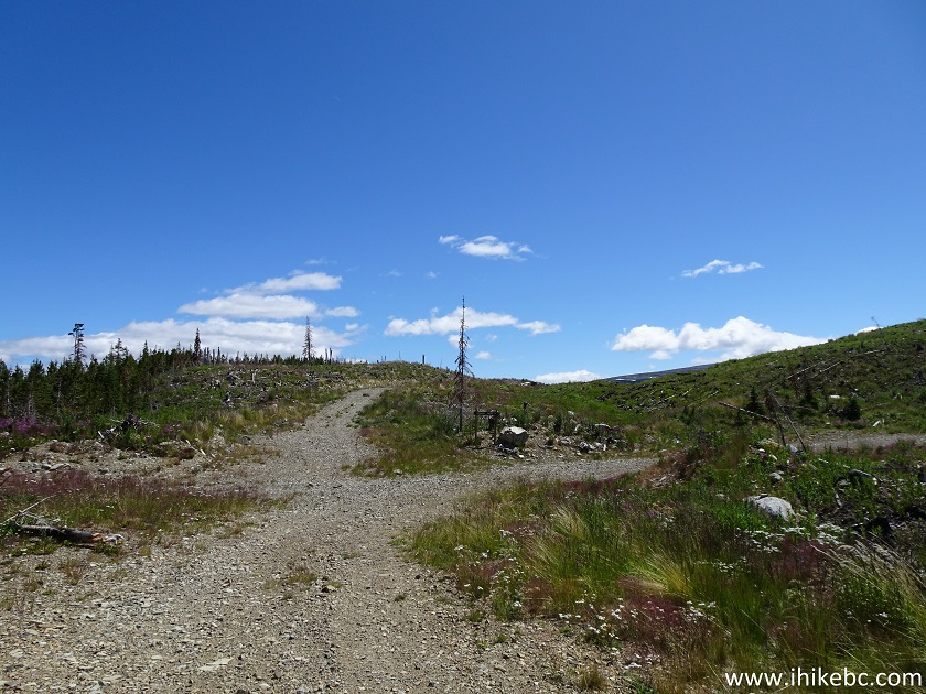
26. Yet another split at 21.0 km. Go straight/left.
Miner Lake Forest Service Road Canada
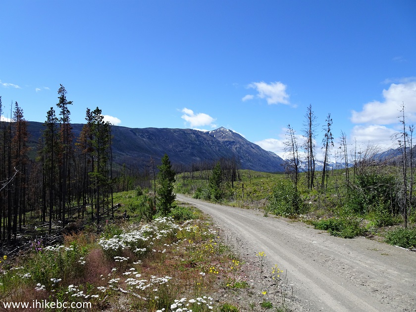
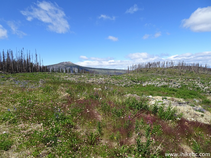
27. Perkins Peak is starting to appear in earnest around 23.2 km.
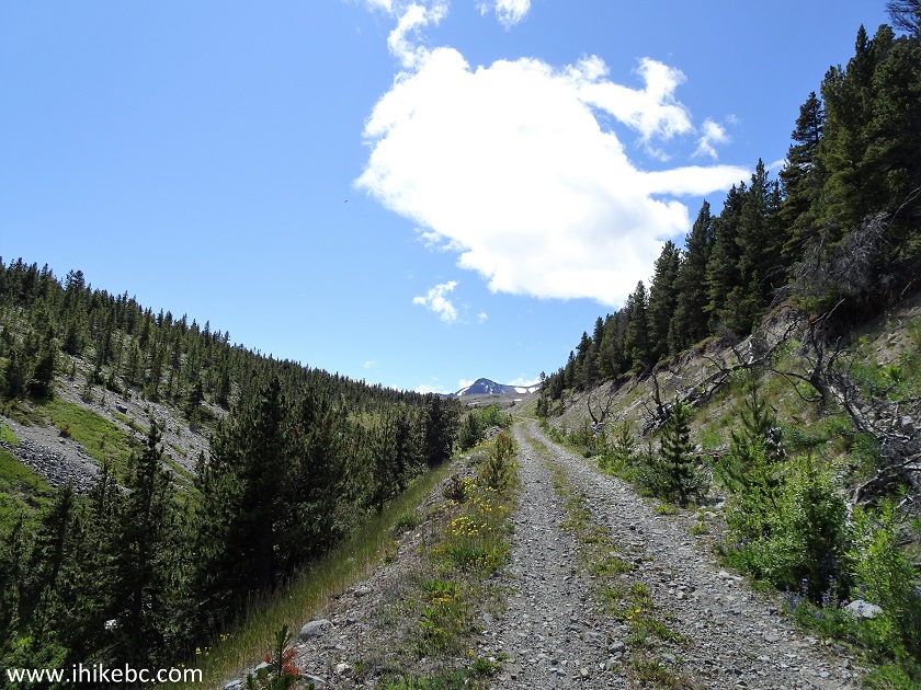
Perkins Peak Trail near Tatla Lake British Columbia Canada
28. The road veers to the right after the climb seen above.
Perkins Peak Trail - Hiking in Tatla Lake BC Area
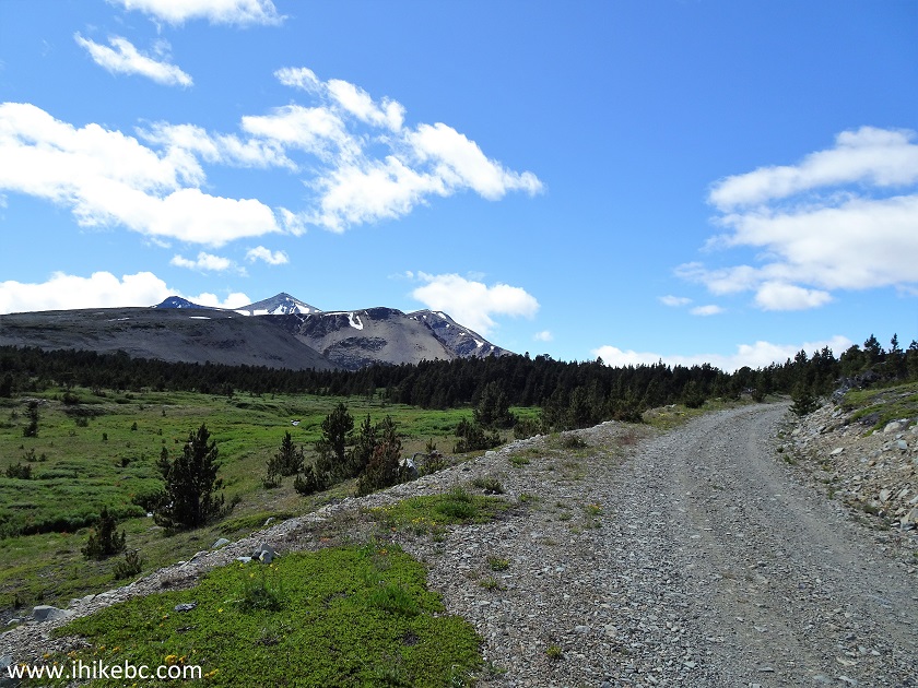
29. Zoomed view. Perkins Peak is in the background, in the middle.
View from Perkins Peak Trail - Tatla Lake BC Hiking
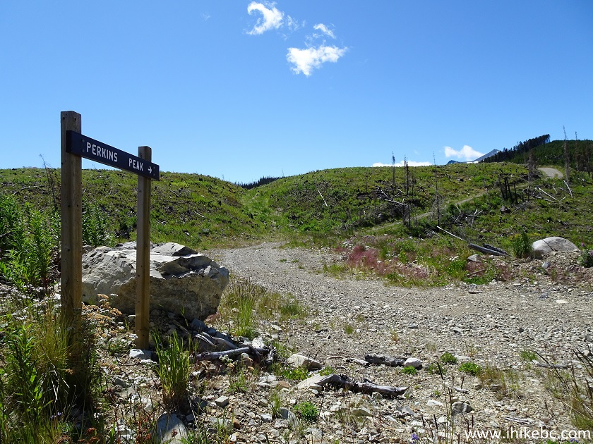
30. The second trail sign is at the 24.9 km split. Turn left.
Perkins Peak Trail - British Columbia Hiking
Our Perkins Peak Trail Hike Trip Report Continues on Page 2.


|
 |
Other Trips in Tatla Lake BC Area:
|
|
|
|


![]()
![]()
![]()
ihikebc.com Trip 194 - Perkins Peak Trail Hike (near Tatla Lake BC) Page 1 of 2