![]()
![]()
![]()

Trip 113 - July 30, 2016 (Saturday)
Cowmoose Mountain Trail Hike
Near Tumbler Ridge BC
Trailhead Location: Northeastern British Columbia. The trailhead is located
off an industrial access road, which is located off Bullmoose Mine
Road, which, in turn, starts off BC Highway 29, approximately 20
kilometers North of Tumbler Ridge.
Liked: Mountain views, rock formations in the alpine, "anvil" stone, virtually no mosquitoes, meeting several marmots.
Of note: Much of the trail is shared with ATVs, which can make it to the alpine too. Lower part of the trail may be muddy when wet. The trail is steep most of the time, and is very steep in the first 100 meters. Hiking boots and poles are highly recommended.
Northern BC Backroad Mapbook (3rd edition) Trailhead Coordinates: Page 43 (Mount Crum) F2.
Related Trip: Bullmoose Mine Road & Windfall Creek FSR.
Related Website: WNMS Cowmoose Mountain Trail Brochure (PDF file).
Other Trips Off Bullmoose Mine Road: Windfall Lake Trail Hike, Holzworth Meadows Hiking Route, Pinnacle Peak Route Hike.
Cowmoose Mountain Trail is located off Bullmoose Mine Road near Tumbler Ridge in Northeastern British Columbia. While not as spectacular as other trails found off Bullmoose Mountain Road, this hike is, nonetheless, very rewarding for those wanting to have a good workout and see some quality mountain views.
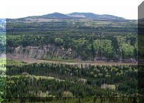
1. For directions on getting to Cowmoose Mountain trailhead, check out our Bullmoose Mine Road & Windfall Creek FSR trip report. The photo below is the same as photo #6 of that trip report. We are at the 15.5 km mark of Bullmoose Mine Road, ready to turn right onto the industrial access road leading to Cowmoose Mountain trailhead.
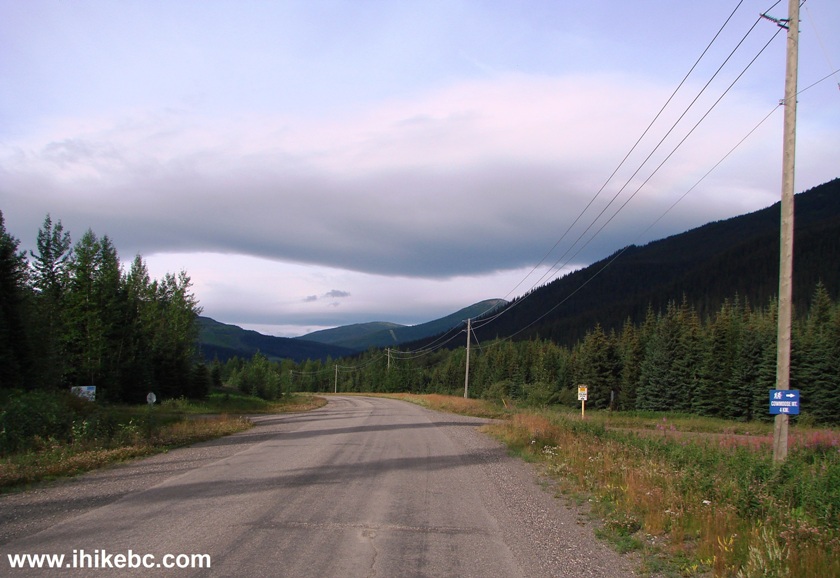
Bullmoose Mine Road near Tumbler Ridge BC Canada
2. Despite the sign in the photo above stating "4 km", the trailhead is actually 5.1 km after the turnoff. It is 4 km, however, to a road on the left which is likely the beginning of an ATV trail, which the hiking trail follows for much of the way. Here we are approaching the 5.1 km mark after the turnoff, with the trailhead (marked by a blue sign) on the far left side, before the bridge, and the parking area on the right side.
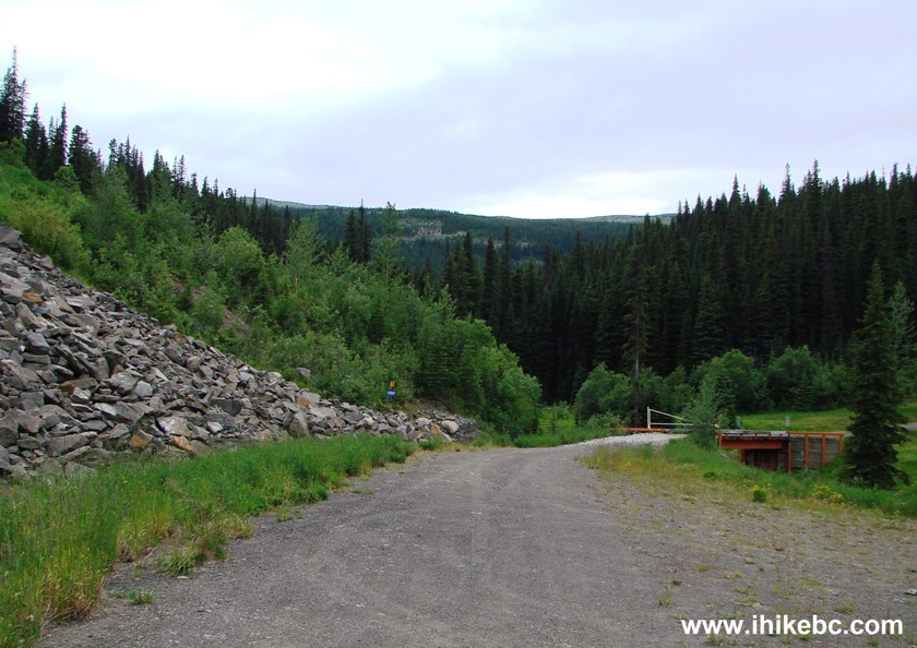
Parking by Cowmoose Mountain Trail
3. Here is the trailhead. Coordinates: N 55⁰10.660' W 121⁰30.191'. Elevation: 1,344 meters. The first 100 meters or so are the steepest.
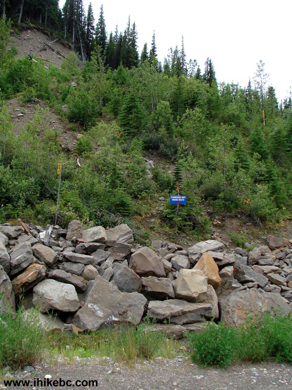
Cowmoose Mountain trailhead near Tumbler Ridge British Columbia
4. In a few minutes, the hiking path joins the ATV trail.
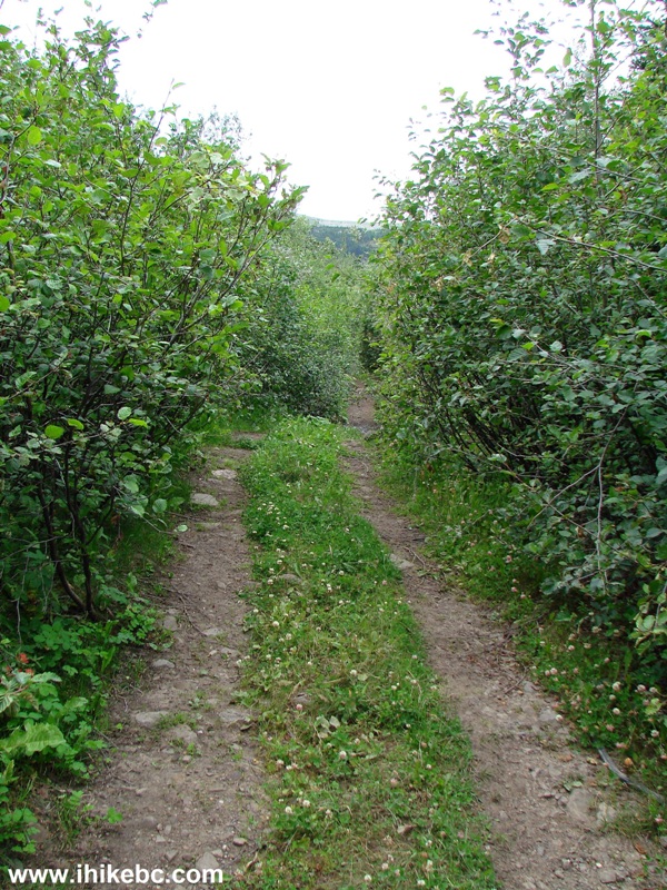
Tumbler Ridge Trail -
Cowmoose Mountain Trail Northeastern BC Canada
5. Some lower parts of the trail are muddy, and this could be quite a swamp in the spring or after the rain.
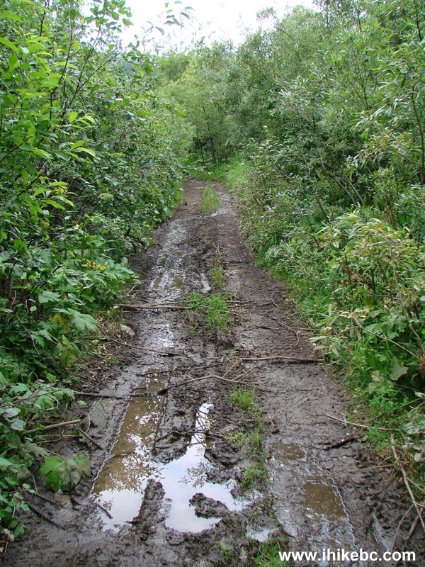
Cowmoose Mountain Trail near Tumbler Ridge BC Canada
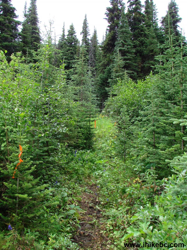
6. Twenty minutes after the start of the hike, flagging tape invites hikers to turn left, while ATVs continue straight ahead. Coordinates for the turnoff: N 55⁰10.405' W 121⁰30.382'. Elevation: 1,454 meters.
Cowmoose Mountain Trail -Tumbler Ridge Hike
7. The view after turning left.
8. Less than ten minutes later, hiking and ATV trails meet again.
Tumbler Ridge Hiking - Cowmoose Mountain Trail
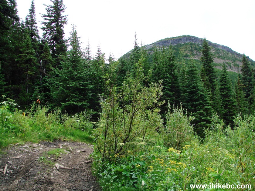
9. The first decent mountain view arrives in a few minutes on the left.
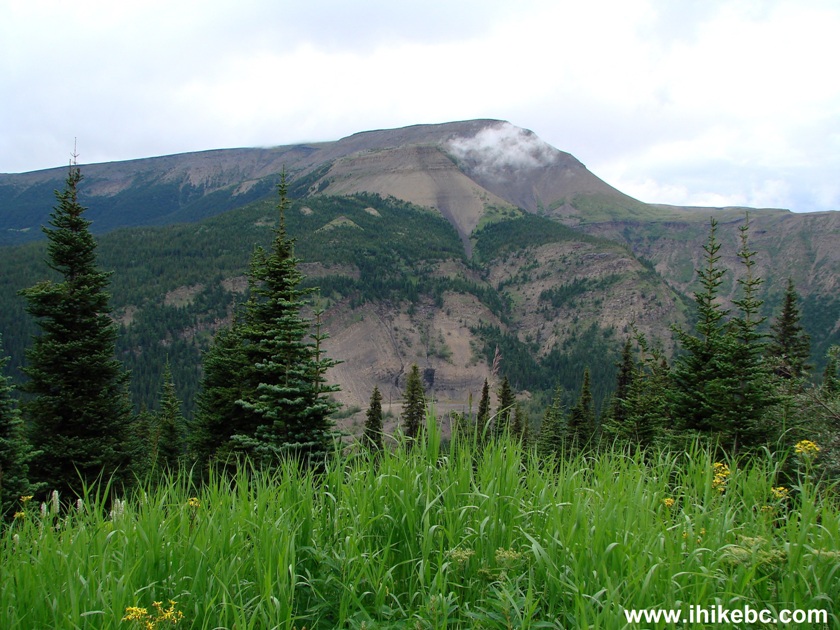
BC Hike -
View from Cowmoose Mountain Trail
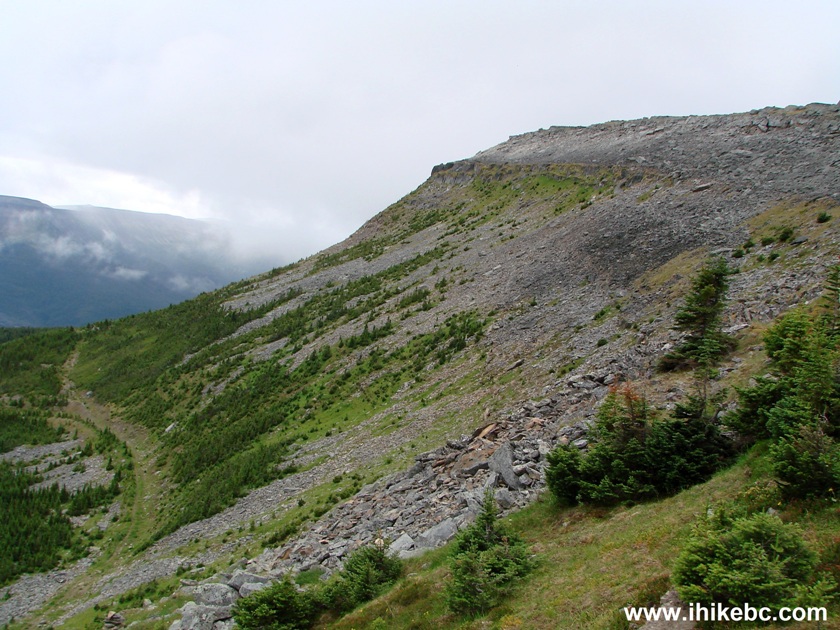
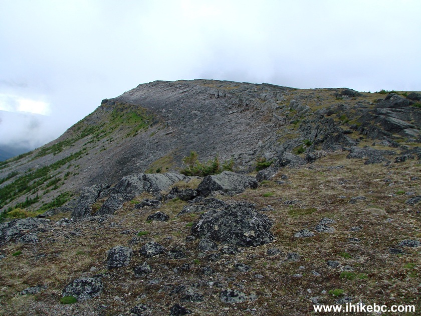
10. ATV and hiking trails then go together for a while through a series of switchbacks. That's Cowmoose Mountain ahead, and we will end up hiking to the far left side.
BC Trail -
Cowmoose Mountain near Tumbler Ridge British Columbia Canada
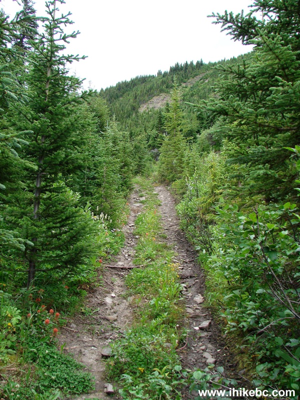
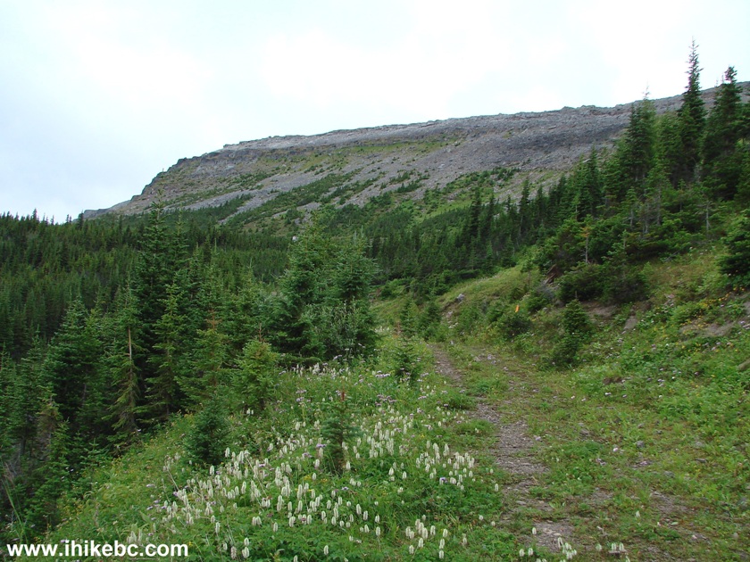
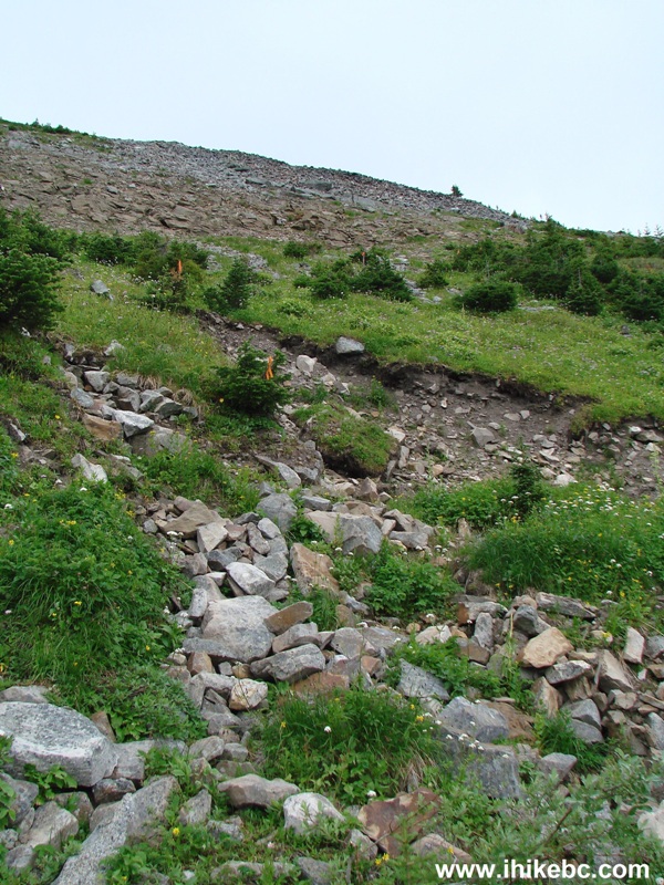
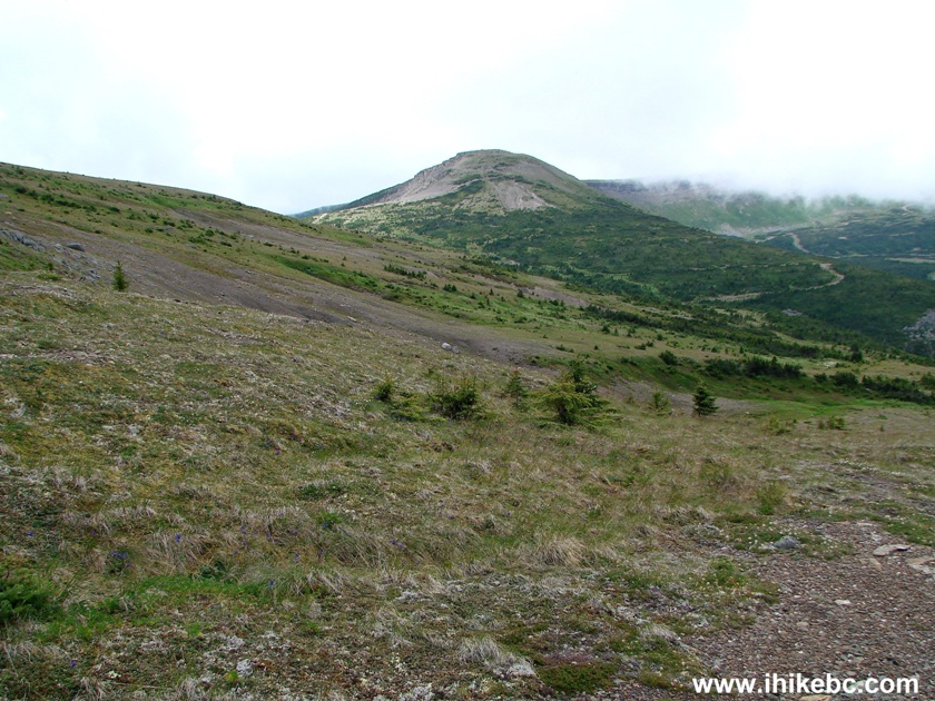
11. After another switchback, we are starting to approach the final climb to the alpine.
BC Hiking - Cowmoose Mountain Trail near Tumbler Ridge
12. The final climb to the alpine is seen flagged on the left side here, and it took us 1 hour and 8 minutes to get up to this point.
Trail in Tumbler Ridge Area - Cowmoose Mountain Trail
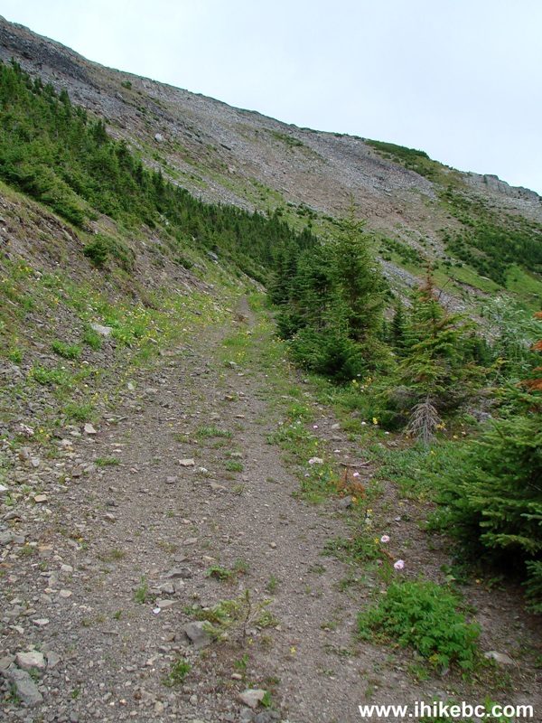
13. The view of the final climb. It's the steepest part of the trail after the first 100 meters.
Cowmoose Mountain Trail - Hike in Tumbler Ridge Area
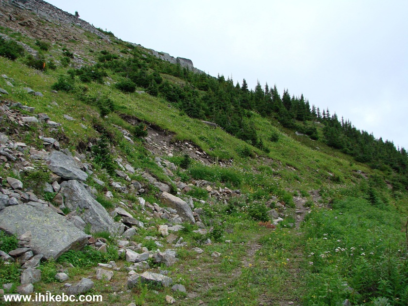
14. Climbing up, looking right.
View from Cowmoose Mountain trail - Hiking in Tumbler Ridge Area
15. Climbing up, looking left, where we will head upon reaching the alpine. The path we took to get to where we are right now is seen on the bottom left side.
Trail in British Columbia - Cowmoose Mountain Trail near Tumbler Ridge
16. Now looking behind us, and, again, you can see the path we took (shared with ATVs).
Hike in BC
17. The final climb took about ten minutes, and we started going to the left. Coordinates where we have reached the alpine: N 55⁰09.931' W 121⁰29.983'. Elevation: 1,792 meters.
Cowmoose Mountain - Hike in British Columbia Canada
18. Looked right for a moment.
Tumbler Ridge Hiking - Cowmoose Mountain
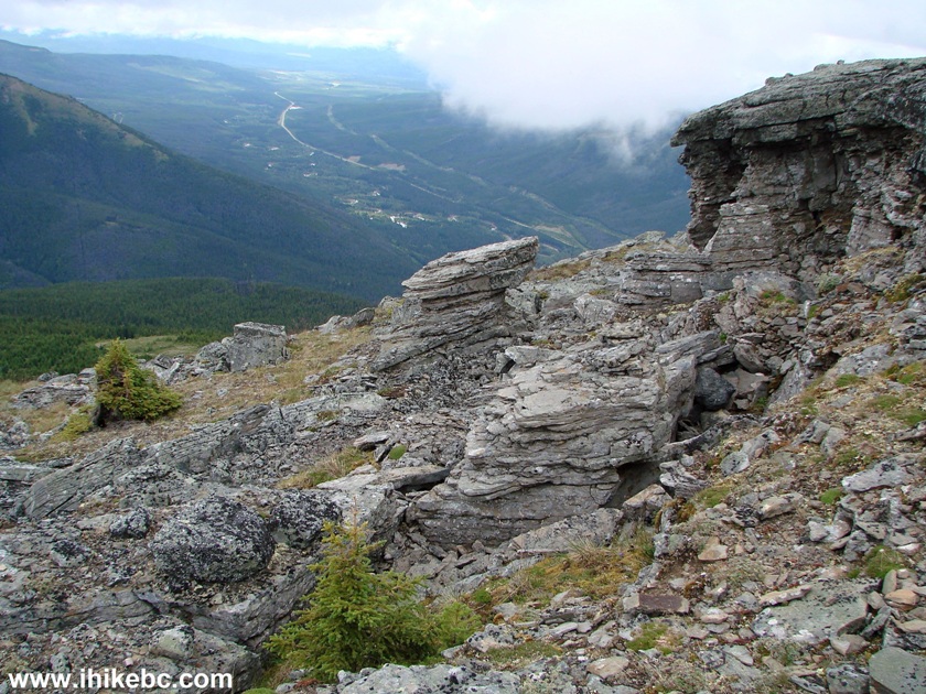
19. The neat thing in the alpine on Cowmoose Mountain are various rock formations, some being very interesting.
Cowmoose Mountain
20. None more interesting than the "anvil" stone.
Hike in British Columbia
21. Cool. Coordinates: N 55⁰09.555' W 121⁰29.379'. Elevation: 1,860 meters.
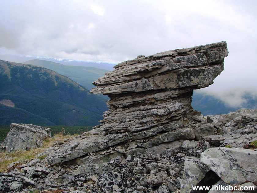
Anvil stone on Cowmoose Mountain near Tumbler Ridge BC Canada
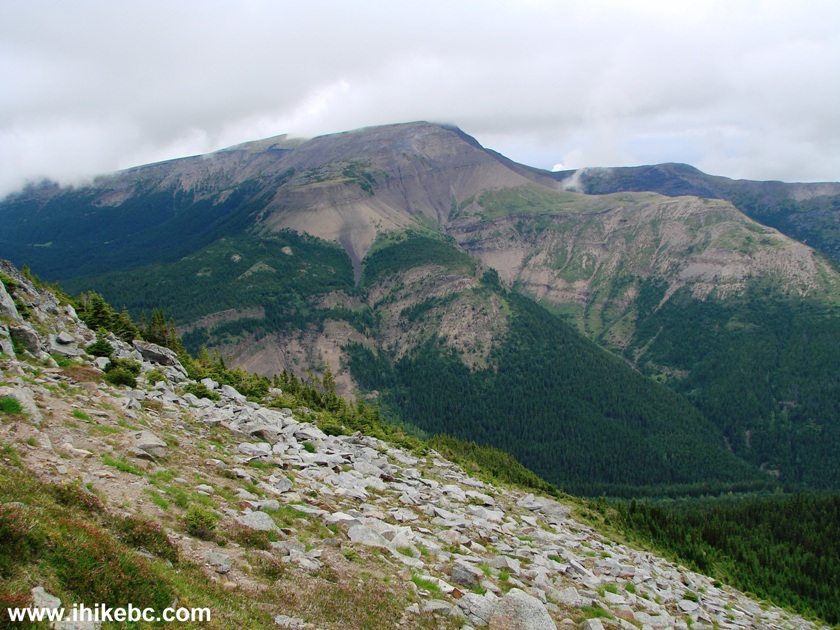
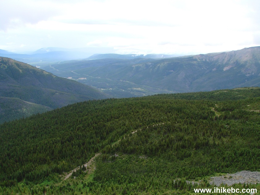
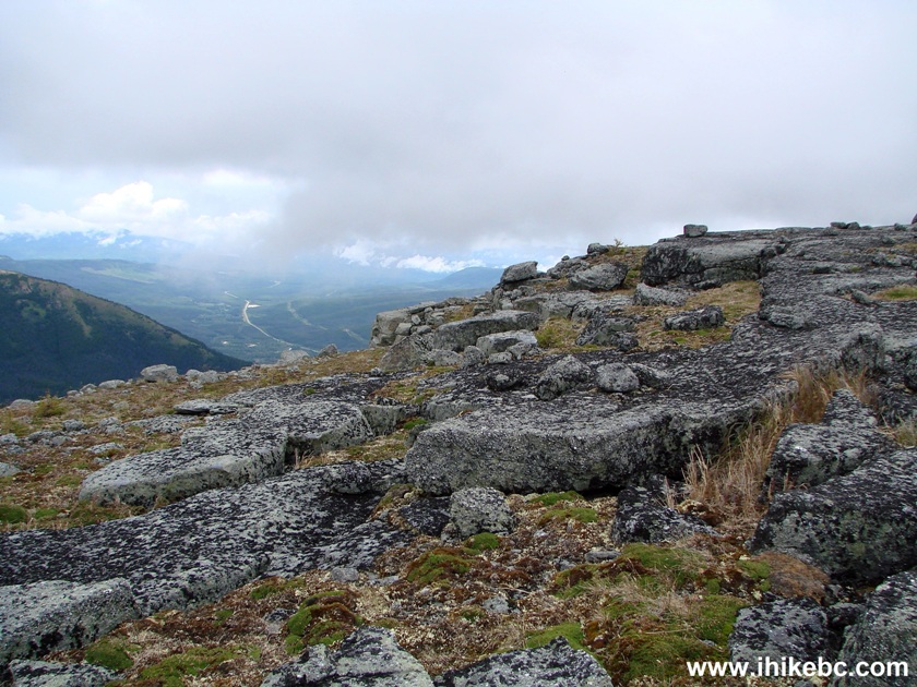
22. Checking out the valley below.
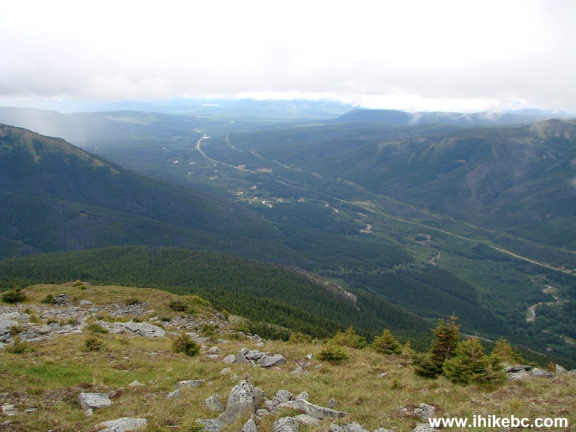
Canada Hiking
23. And here is the top. Coordinates: N 55⁰09.500' W 121⁰29.373'. Elevation: 1,874 meters (530 meters elevation gain from the start of the trail). Took almost two hours to get here.
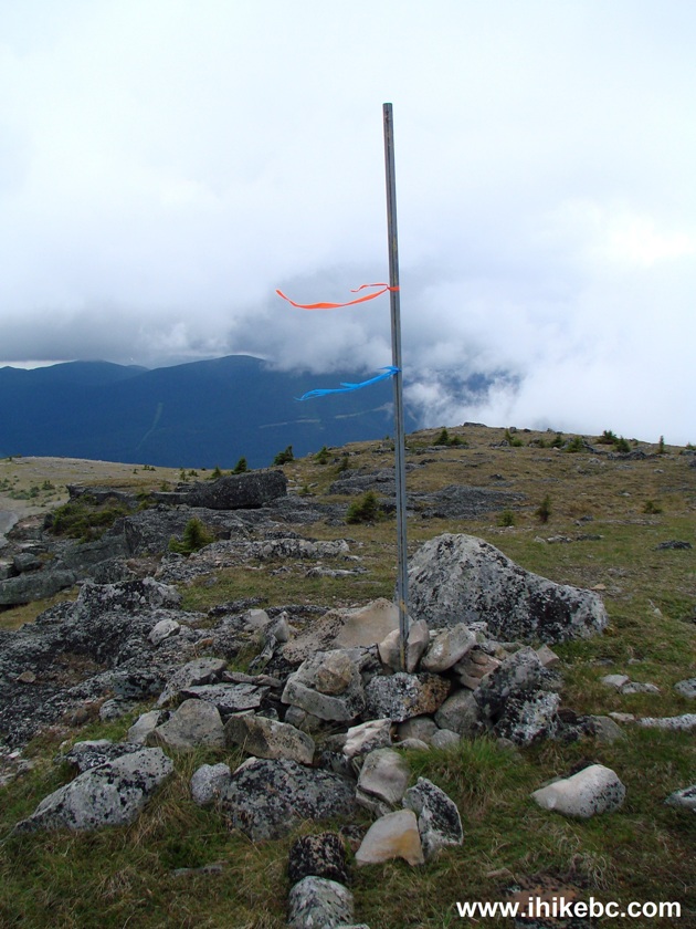
Top of Cowmoose Mountain
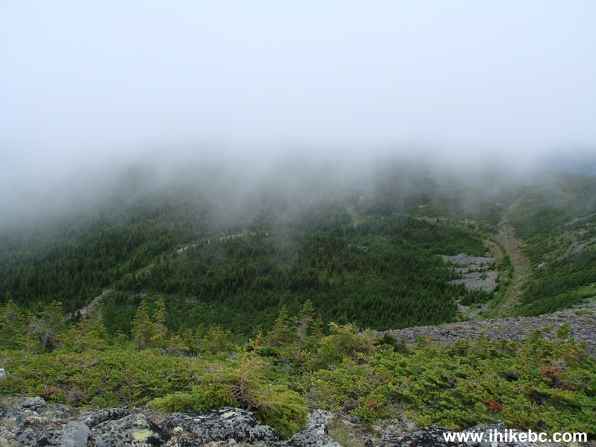
24. We planned to hike clockwise, and see the views on the other side, as there are mountains there too, but the weather took a sudden turn to the worse, with fog quickly approaching.
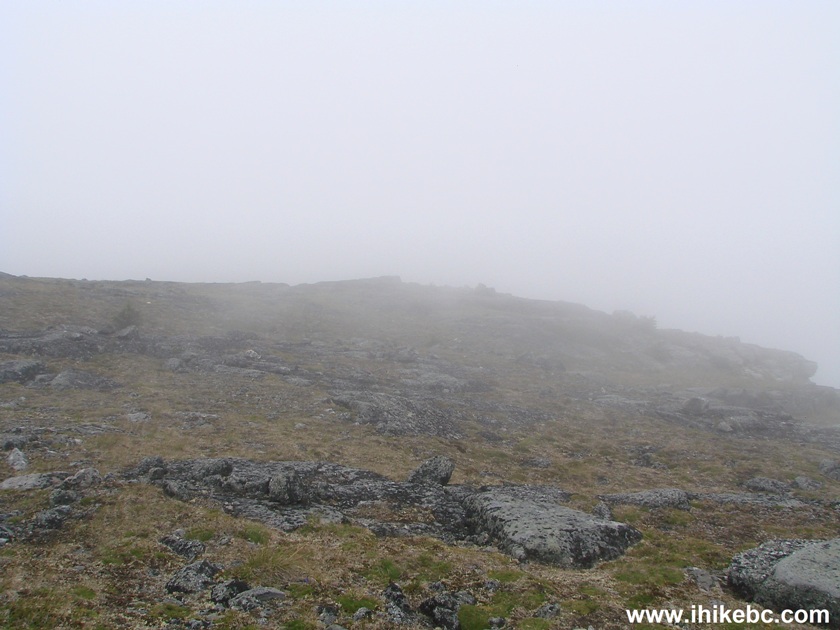
Fog on Cowmoose Mountain
25. It turned foggy very quick. So, we went back the same way we came.
While not the first hiking choice off Bullmoose Mine Road, Cowmoose Mountain Trail has many interesting views, in addition to being a good workout.


|
 |
Other Trips in Tumbler Ridge BC Area:
|
|
|
|
|
|
|
|
|
|
|
|
|
|
|
|
|
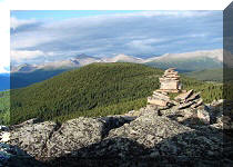
Bergeron
Cliffs Hike
|
 |
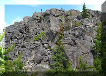
Stone Corral Trail  |
|
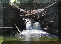
Windfall Lake Trail
|
|
Bootski Lake Trail  |
|
Murray Canyon
Overlook
|
|
Quality Canyon Trail  |


![]()
![]()
![]()
ihikebc.com Trip 113 - Cowmoose Mountain Trail Hike (near Tumbler Ridge BC)