![]()
![]()
![]()

Trip 030 - August 24, 2010 (Tuesday)
Squamish River FSR - E-Main Branch
Distance From Vancouver:
85-90 km via Highway 1 West and
Highway 99 (Sea-to-Sky) North,
then, as you are driving on Highway 99 through Squamish, turn left onto
Squamish Valley Road and drive for
about 25-30 minutes until it ends, and
Squamish River Forest Service Road
begins. Then, drive on Squamish River FSR for 28 kilometers and turn left onto
E-Main by crossing the bridge across Squamish River.
Liked: Tranquility, natural beauty, seeing some animals in the distance.
Of note: Very rough road with numerous potholes. Remote wilderness area with very few people around and no cell phone coverage. Possible presence of firearms. Possible logging in the area. Several areas with heaps of large stones piled along and above the road - even a minor earthquake or landslide might cause a massive rock fall blocking the road for many days.
Vancouver, Coast & Mountains Backroad Mapbook (2010 edition) Coordinates for the Beginning of the FSR: Page 28 (Elaho River) F5.
Related Websites: District of Squamish FSR Conditions, Clendinning Provincial Park - BC Parks Official Website.
Nearby FSR Trips: Squamish River Main, Squamish River Ashlu, Squamish River Ashlu Second Trip, Squamish River FSR Washout.
Other Forest Service Roads Trips: Chehalis (by Harrison Mills), Chilliwack Bench, Chilliwack Foley, Chilliwack Lake, Chuchinka-Colbourne (North of Prince George), Clear Creek (off Harrison East), Florence Lake (access to Stave Lake by Mission), Harrison East, Harrison East Second Trip, Harrison West, Jones Lake (near Hope), Lost Creek (by Mission), Mamquam River (by Squamish), Nahatlatch (near Boston Bar), Parsnip West (by Mackenzie), Scuzzy (by Boston Bar), Shovel Creek (off Harrison East), Sowaqua Creek (by Hope), Windfall Creek (by Tumbler Ridge).
Follow @ihikebc Tweet
E-Main branch of Squamish River Forest Service Road offers pretty much the same type of views as the S-Main branch. That is to say - excellent views with mountains, streams and trees. The only difference from our previous trip was that this time we went much further into the wilderness, and saw no people at all after crossing the bridge after the S-Main split with E-Main. A black bear leisurely walked into the bush from the road about 200 metres ahead of our vehicle, and, shortly after that, a cougar was seen running away between the trees. Finally, we stumbled upon a large cow moose and her calf at a dead end. The moose was on a higher ground and ran into the woods so fast that we did not have time to take a picture.
1. We are on S-Main, about to turn left onto E-Main and across Squamish River.
Squamish River Forest Service Road S-Main Split with E-Main
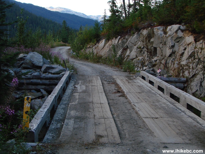
2. The bridge across Squamish River. E-Main is straight ahead. Immediately after the bridge there is a road on the right side along Squamish River. And, just a bit further on E-Main, is Interfor's office. Logging machinery could be found abandoned in many areas of Squamish River FSR, but no active logging appeared to be going on.
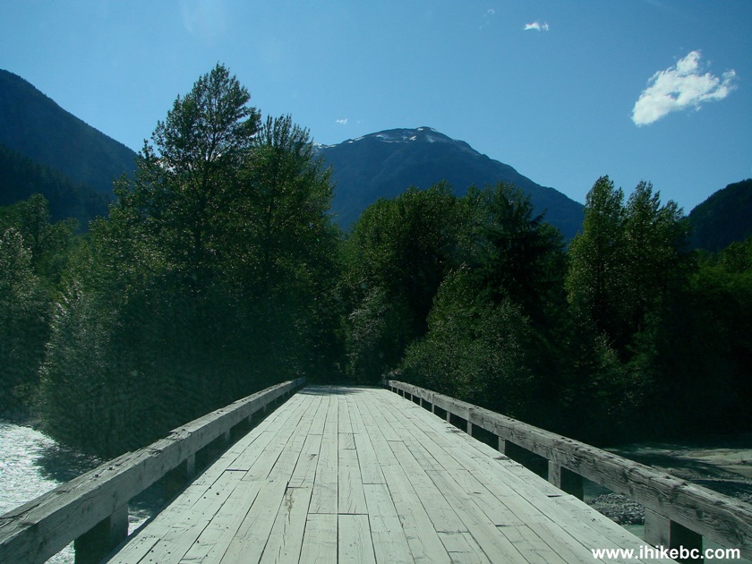
Squamish River Forest Service Road bridge across Squamish River and
towards E-Main
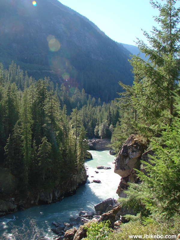
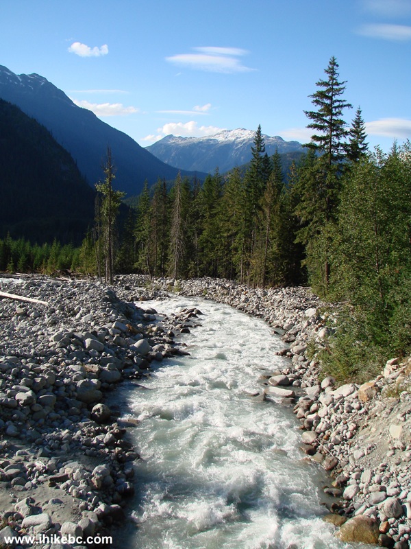
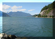
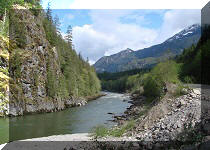
3. View of Squamish River from the bridge.
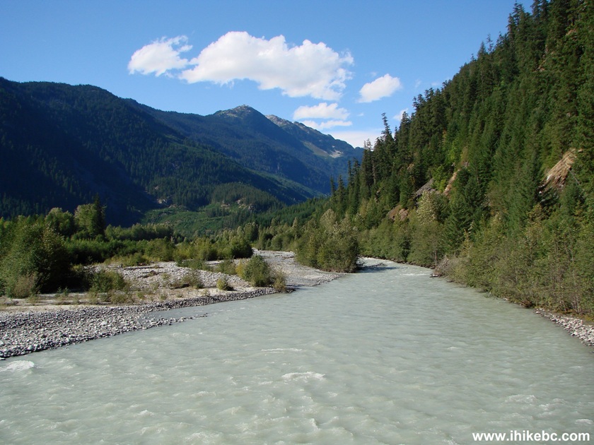
Squamish River British Columbia Canada
4. And off we go on E-Main, with no people seen for the rest of the day.
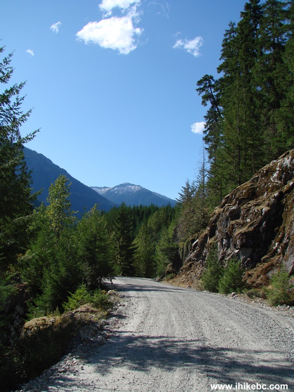
Squamish River Forest Service Road E-Main Branch
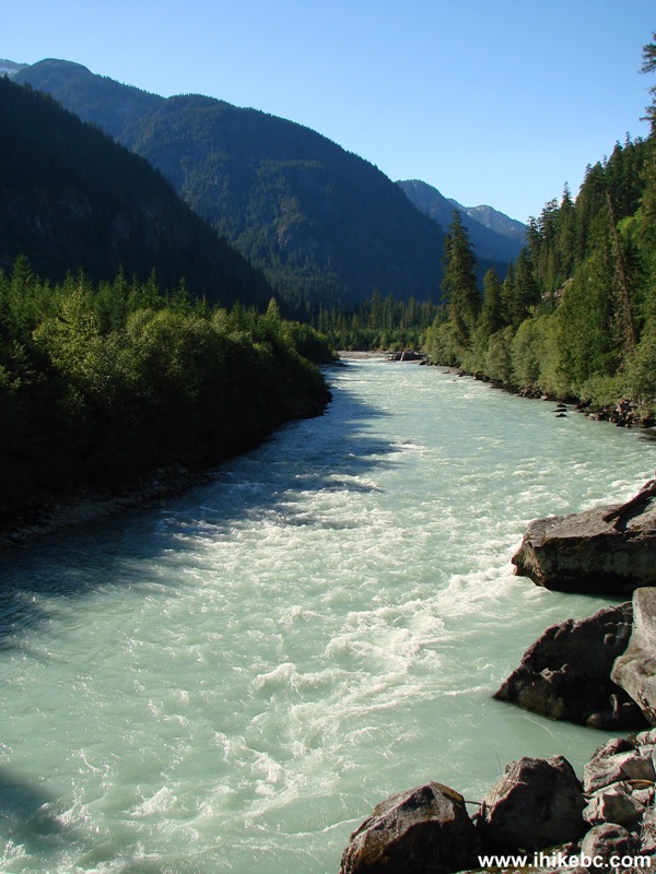
5. E-Main is so called because it runs alongside Elaho River.
Elaho River BC Canada
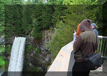
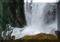
6. Eight kilometers after the split with S-Main, Maude Frickert waterfall is on the right side.
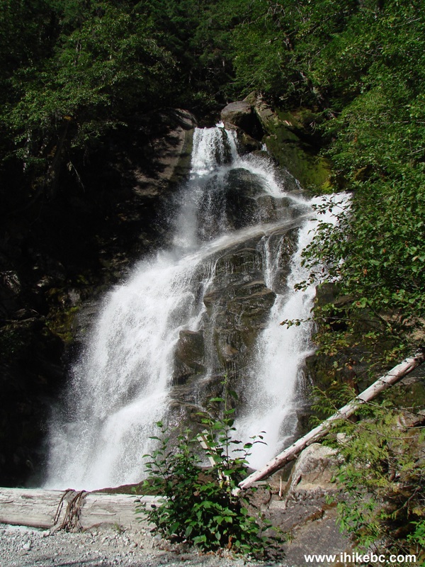
Waterfall Photo Squamish River Forest Service Road E-Main
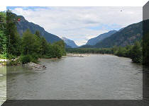
7. Two kilometers later, a split with G-Main arrives, where a bridge crosses Elaho River. Here is a view of Elaho River from the bridge towards G-Main.
Elaho River seen from the G-Main Bridge
8. Continuing on E-Main.
E-Main Squamish River FSR Province of BC Canada
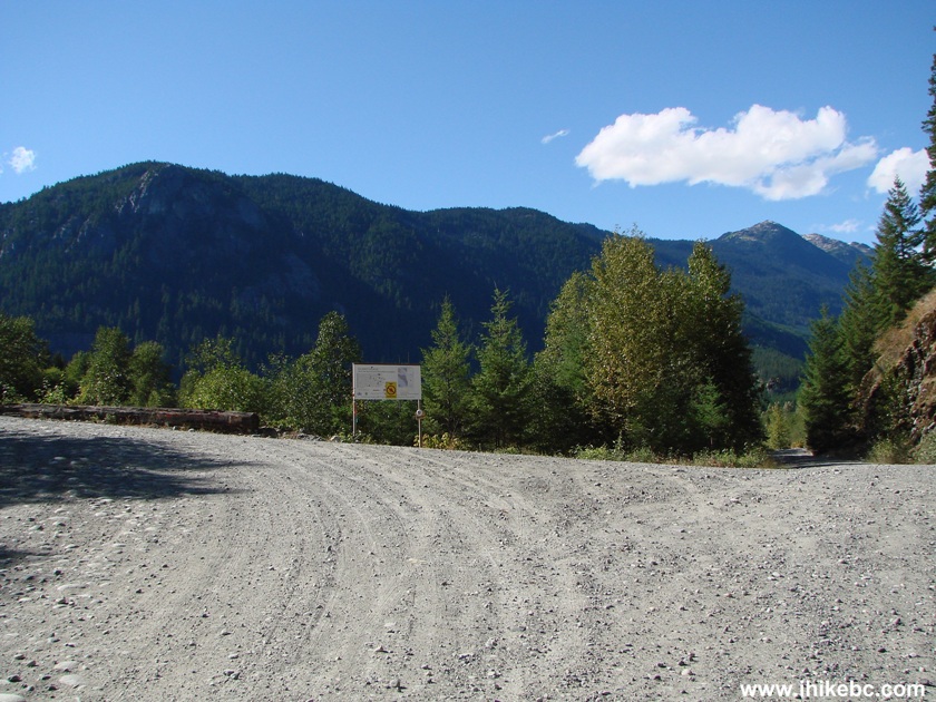
9. Clendinning Provincial Park arrives about 33 kilometers after the split with S-Main. There is a weathered map of the park on the side of the road. Information from BC Government on the Internet about this park indicates that there are no hiking trails, and not too many visitors. Here is a view of Blakeney Creek crossing E-Main several hundred meters past the Clendinning Park map.
Blakeney Creek Clendinning Provincial Park BC Canada
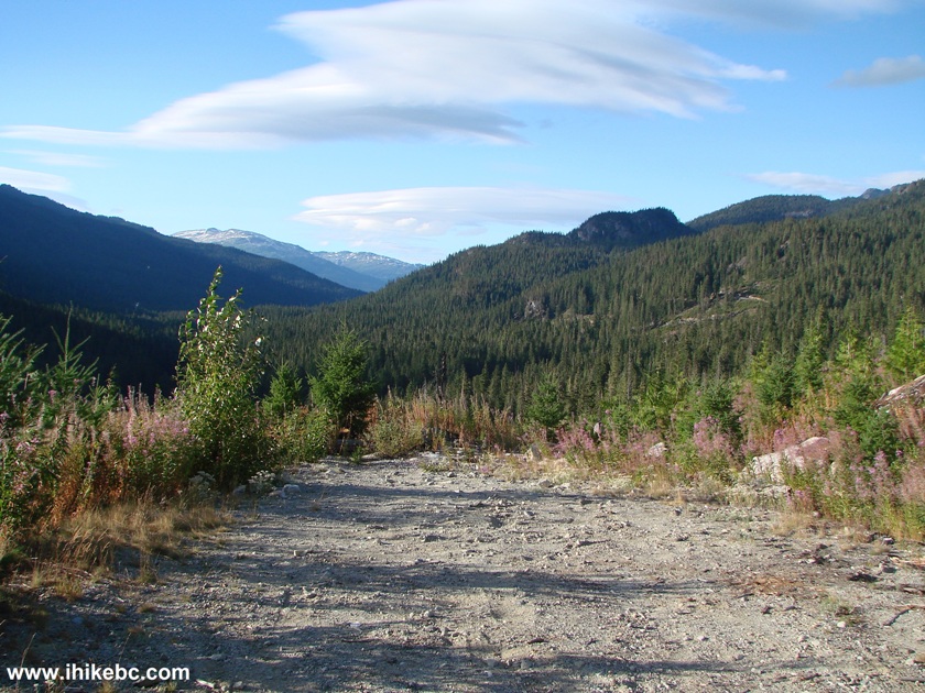
10. About 2.5 kilometers later, E-Main splits with E-1000. We will return to E-1000 later in the day in a failed attempt to locate Elaho Canyon trail. For the time being, we would take the road to the right and continue on E-Main.
E-1000 and E-Main Split Squamish River Forest Service Road
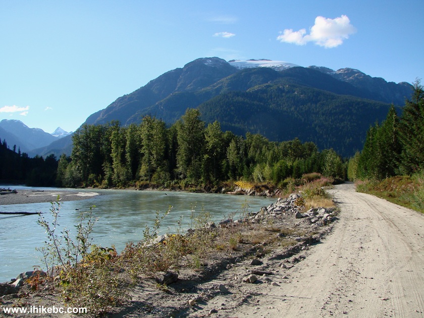
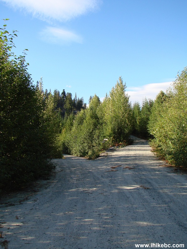
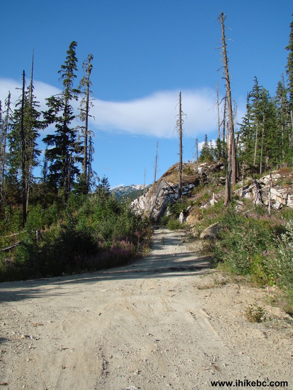
11. E-Main continues for six kilometers after that without major changes.
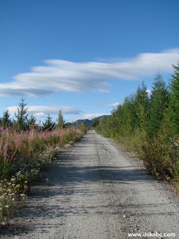
E-Main Picture Squamish River FSR
12. You would pass by the remains of a forest fire. The fire happened at least a year ago, judging by the new growth under the burned trees.
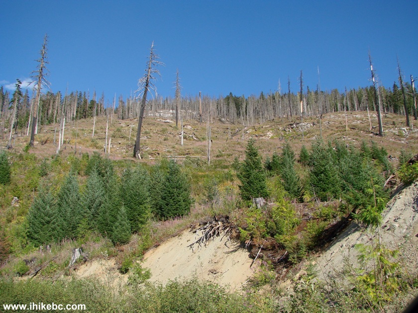
Burned Forest seen from E-Main Branch of Squamish River Forest Service
Road
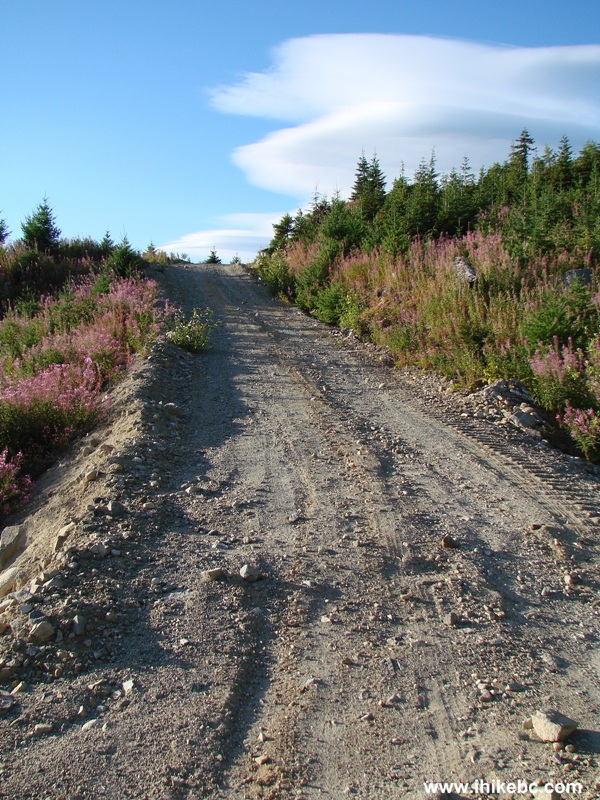
13. Six kilometers after splitting with E-1000, E-Main starts to split itself. Here is a split where we took a road to the left.
Squamish River Forest Service Road E-Main
14. Half a kilometer later, the road splits again, but both roads end very shortly. That's how it all ends for one of the roads.
Squamish River FSR
15. So, we returned to the original E-Main split as seen in photo #13, and took a road on the right. We drove it for 2 kilometers over fairly steep terrain, but then our vehicle met its match and could not overcome the loose-stoned hill pictured below. Thus, we did not reach the ultimate end of E-Main. However, E-Main probably ends not too long after that, if we read the Backroad Mapbook correctly.
Squamish River Forest Service Road E-Main Branch British Columbia Canada
16. After that, we returned to the E-Main split with E-1000 seen in photo #10, and started driving on E-1000, with our goal being finding Elaho Canyon trail, which is not listed in the last edition of "103 Hikes in Southwestern British Columbia" by Jack Bryceland.
View from E-1000 Squamish River Forest Service Road
17. Bryceland's directions state to park after a bridge at the 63 mile mark (distance in miles from Squamish) and look for the trailhead on the left side. Here is the bridge, which did have a 63 mile marker next to it, though the name of the creek on a piece of paper near the bridge was different from the creek name in the book.
E-1000 Branch of Squamish River FSR
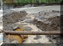
18. And now we know why the trail is not in the latest edition - the area had been logged. (2014 Update - the Elaho Canyon trailhead is a bit further down the road, but this trail cannot be hiked because Cesna Creek bridge is out, and the creek is too dangerous to cross).
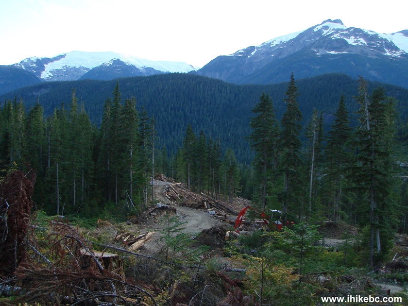
Logging Area by E-1000 Squamish River Forest Service Road
19. A short walk before the bed time led to a discovery of this piece of art.
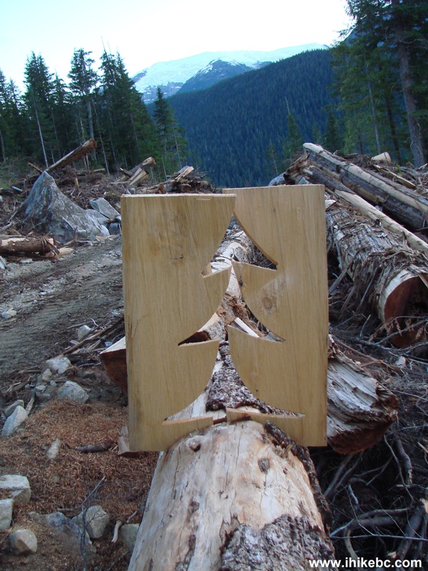
Conifer cut out Squamish River Forest Service Road
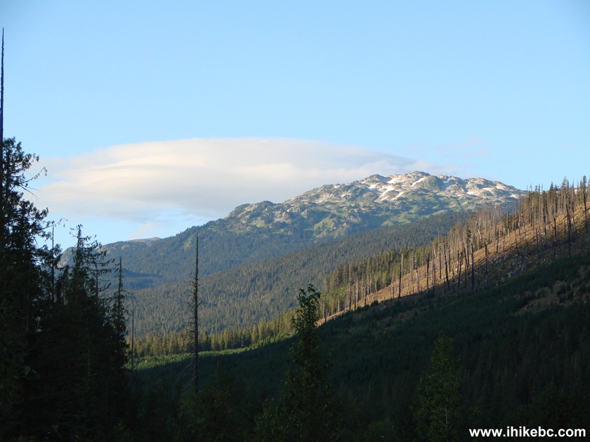
20. And the clouds were very interesting that evening.
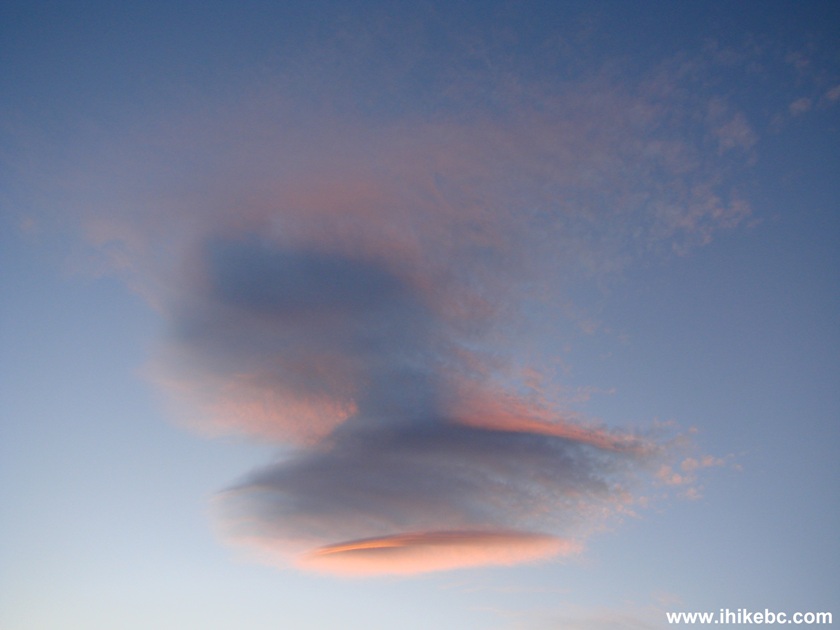
Cloud seen from E-1000 Squamish River Forest Service Road
Squamish River Forest Service Road E-Main is a good road to explore, with plentiful natural views to keep your camera busy.


|
 |
Other Trips in Squamish Area:
|
|
|
|
|
|
|
|
|
|
|
|
|
|
|
|
|
|
|
|
|
|
|


![]()
![]()
![]()
Follow @ihikebc Tweet
ihikebc.com Trip 030 - Squamish River FSR - E-Main Branch