Trip 076 - February 16, 2015 (Monday)
Clear Creek Forest Service Road to a Hot Spring
Off Harrison East FSR
In the Vicinity of Harrison Hot Springs, BC,
Canada
Distance From Vancouver to the beginning of Clear Creek FSR: About 167 kilometers: about 130 km to the beginning of the Harrison East FSR via Highway 1 East (to Exit 135), Highway 9 North (to Harrison Hot Springs), and Lillooet Avenue / Rockwell Drive. Upon reaching Harrison East, drive for about 37 kilometers until Clear Creek FSR starts on the right side.
Of note:
Remote wilderness area, no cell phone signal, quite popular due to the hot spring, the hot spring area has some garbage, including broken glass; 4x4 access only (2wd would have issues with several steep loose-surfaced hills and two or three creek crossings – may try to drive for 2 km or so before the first steep hill), many potholes on Harrison East before the turnoff to Clear Creek FSR, which is a bit better. Also, there is a hydroelectric project under construction on Harrison East past the Clear Creek FSR turnoff, so watch out for large construction vehicles.Vancouver, Coast & Mountains Backroad Mapbook (2010 edition) Coordinates for the Beginning of the FSR:
Page 14 (Harrison Lake) F1.Related Website: Chilliwack District FSR Conditions
.
Other Forest Service Roads Trips:
Chilliwack
Bench,
Chilliwack Foley,
Chilliwack Lake,
Chuchinka-Colbourne (North of Prince George),
Clear Creek (off
Harrison East),
Harrison
East, Harrison
East Second Trip,
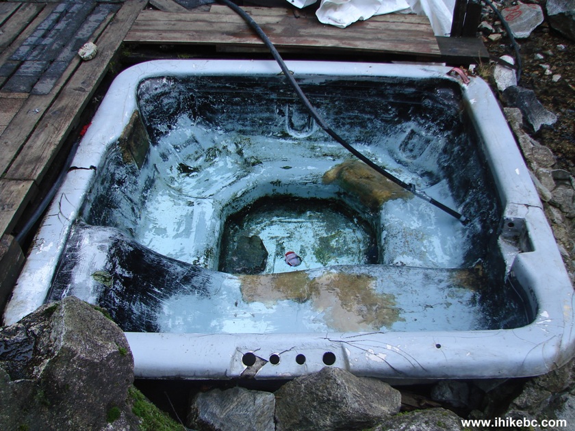
Jones Lake
(near Hope),
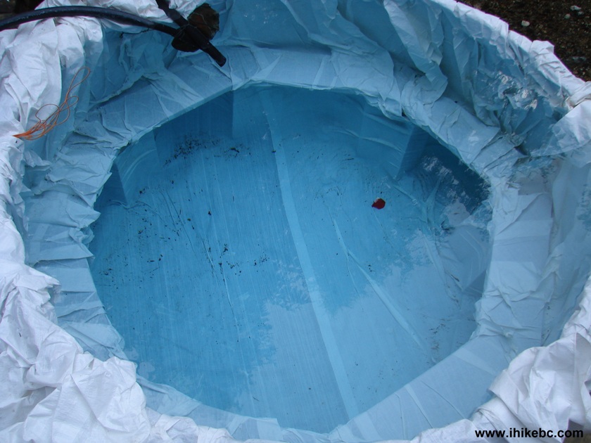
Lost Creek (by Mission),
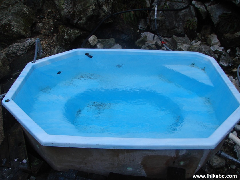
Mamquam
River (by Squamish),
Nahatlatch
(near Boston Bar), Parsnip West (near
Mackenzie),
Scuzzy (by
Boston Bar),
Shovel Creek (off Harrison East),
Sowaqua
Creek (by Hope),
Squamish River Main,
Squamish River
Ashlu, Squamish
River E-Main,
Squamish River FSR Washout,
Windfall Creek
(by Tumbler Ridge).
>>>
British Columbia Waterfalls
Visits.
![]()
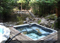
We have visited Clear Creek FSR because Backroad Mapbook indicates there is a hot spring there. Despite it being a remote area (and a workday, on top of that), we have encountered five vehicles heading to the hot spring. One can only imagine what happens on weekends. Considering the hot spring's water is piped to four tubs in close proximity to each other, as seen in the photos below, it might become quite crowded there in a hurry.
But Clear Creek FSR is a decent road to explore even without visiting the hot spring. There are two small but picturesque waterfalls along the way, as well as several attractive mileage markers. We hiked this FSR for just over 11 km en route to the hot spring, and then hiked back. Even though it was not a difficult hike, biking would be even better, as you would sweat going up several steep hills on the way to the spring, then may relax in one of the tubs, and cruise down the hills on your return trip.
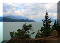
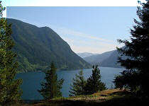
For details on how to get to Harrison East FSR (from which Clear Creek FSR branches off), check out Harrison East FSR trip report. Please, note, that Harrison East now has numerous large potholes, which we did not see in 2010, so you would most likely have to drive not faster than 20-25 km/h to avoid vehicle damage. Perhaps, the road would be graded when it warms up? Also, as you are driving on Harrison East on your way to Clear Creek FSR, you would be able to see great views of Harrison Lake, as well as Rainbow Falls, making your trip to the hot spring even more worthwhile.
1. We are at the about 37th kilometer of Harrison East FSR, with the turnoff to Clear Creek FSR seen on the right side. Coordinates: N 49⁰37.361' W 121⁰49.376'.
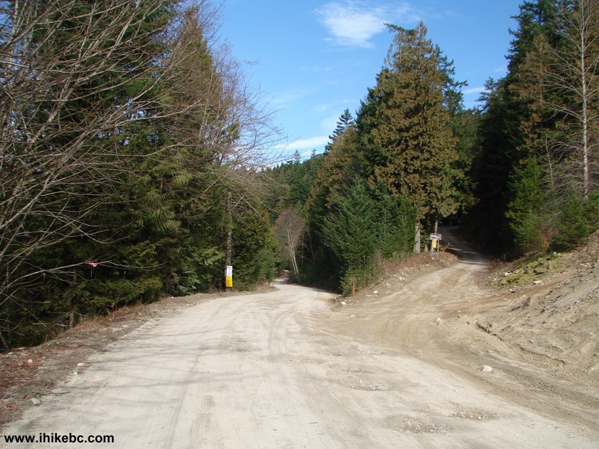
Harrison East FSR BC Canada
2. Right after turning onto Clear Creek FSR, there was a note stating that the road is closed at 12 km. Fortunately, the hot spring is located before that mark.
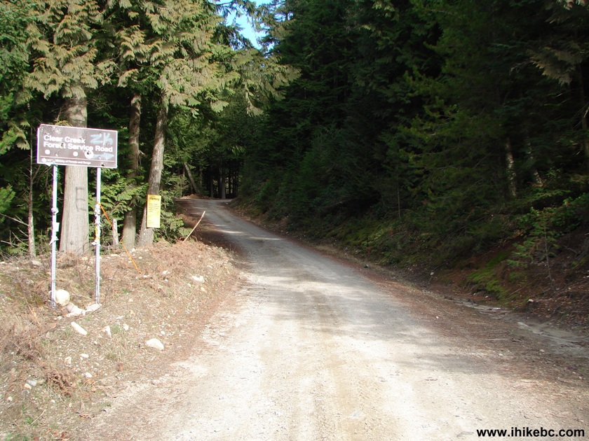
Clear Creek FSR BC Canada
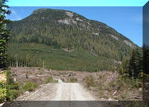
3. Clear Creek FSR features several long and fairly steep hills. The first one, pictured below, is not too bad, but, later on, the hills are challenging enough to likely stop all 2WD vehicles.
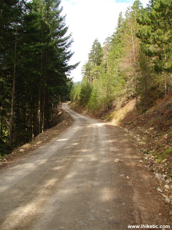
Photo of Clear Creek Forest Service Road BC Canada
4. The first picturesque mile marker of many.
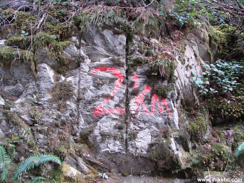
Clear Creek FSR British Columbia Canada
5. Exposed rock looks good too.
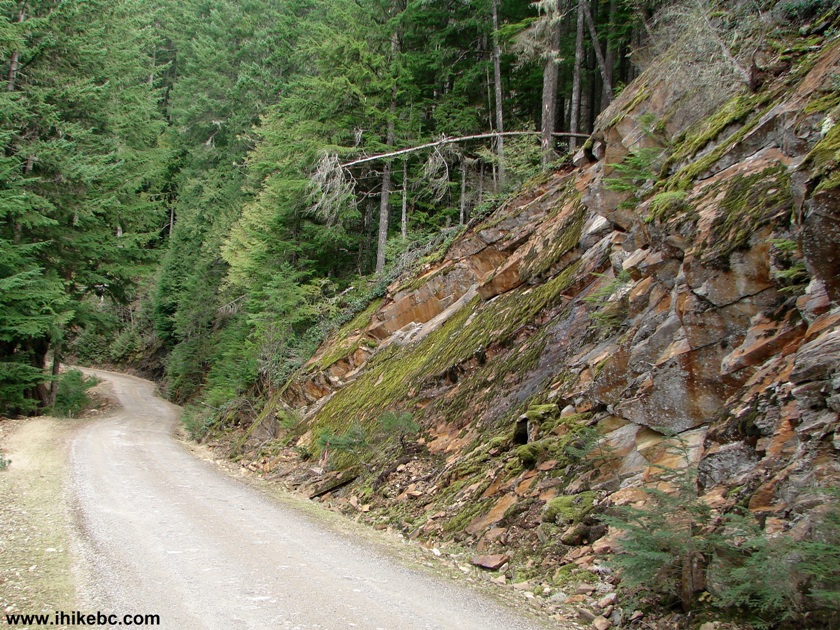
Picture of Clear Creek FSR BC Canada
6. A bit closer.
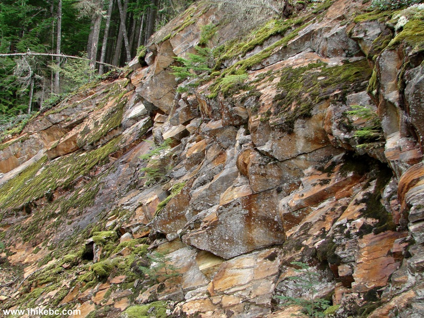
Exposed Rock Clear Creek FSR BC Canada
7. Here is that "weeping rock."
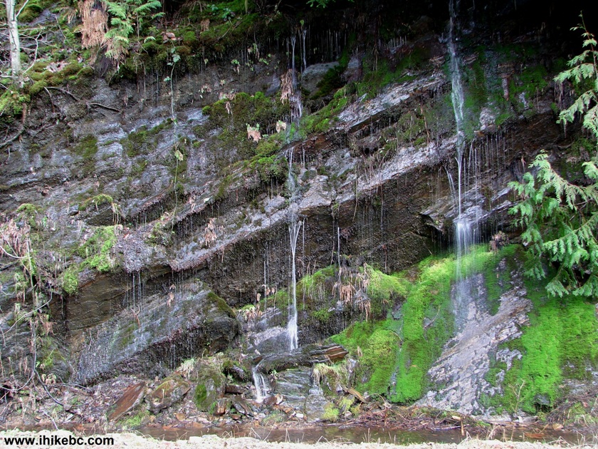
"Weeping Rock" Clear Creek Forest Service Road BC Canada
8. At the 5 km mark (the white sign ahead) take the road on the left.
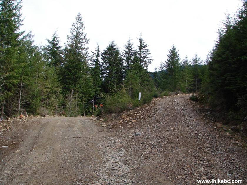
Road Split Clear Creek FSR BC Canada
9. The good thing about Clear Creek Forest Service Road - not as many potholes as on Harrison East.
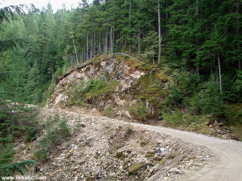
Clear Creek Forest Service Road Province of BC Canada
10. We are past the halfway point now.
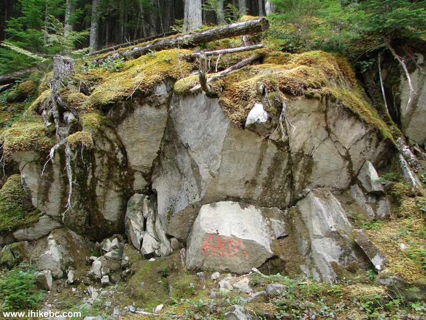
Clear Creek FSR BC Canada
11. One kilometer later.
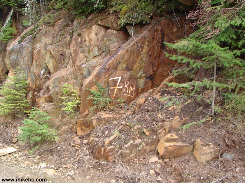
Clear Creek FSR British Columbia Canada
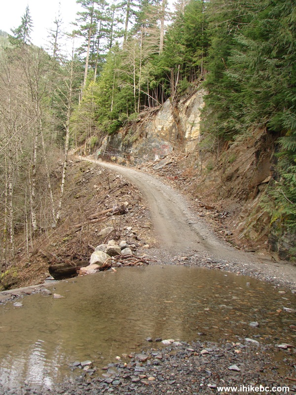
12. After the 7 km mark, there are two waterfalls. If you are driving, it's easy to miss the first (and the most impressive) one, because it hides behind a corner. Your clue is this big puddle created by the waterfall. Coordinates: N 49⁰40.303' W 121⁰47.555'.
Clear Creek Forest Service Road British Columbia Canada
13. The waterfall is to the right, behind a corner.
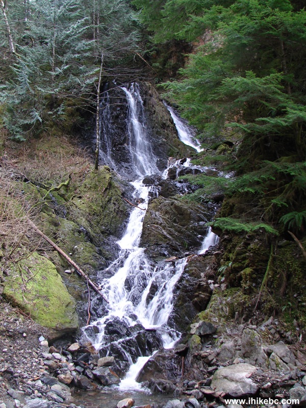
Waterfall Clear Creek FSR BC Canada
Here is our video of the first waterfall:
14. And, about half a kilometer further, on the right side of the road, there is a second waterfall. Coordinates: N 49⁰40.515' W 121⁰47.147'.
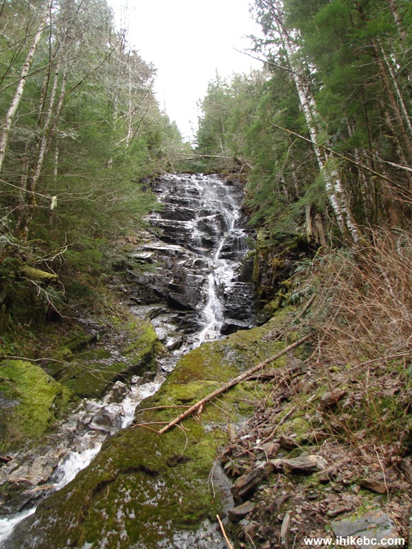
Second Waterfall Clear Creek Forest Service Road BC Canada
15. Now with a slight zoom.
Here is our video of the second waterfall:
More ihikebc videos are on our YouTube Channel.
16. The ten kilometer mark is on a stump.
17. Then, just a few minutes after the 11 km mark, you would reach this spot.
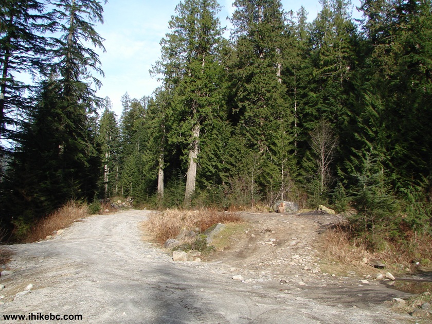
Clear Creek FSR BC Canada
18. Looking to the right reveals access to the hot spring tubs. Coordinates: N 49⁰41.164' W 121⁰44.530'. Elevation: 690 meters.
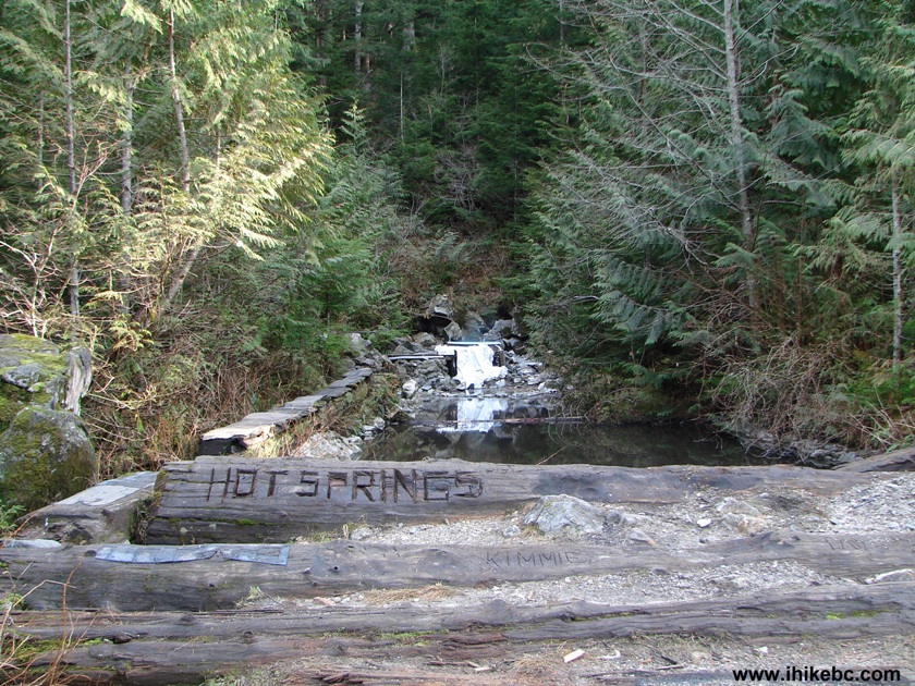
Hot Spring Area Clear Creek FSR BC Canada
19. It's a short walk from Clear Creek FSR to the tubs.
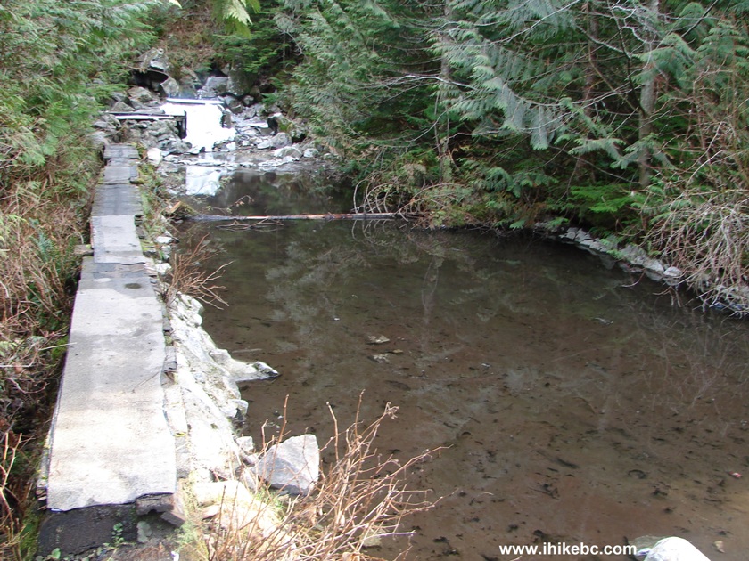
Hot Spring Area Clear Creek FSR British Columbia Canada
20. Here they come.
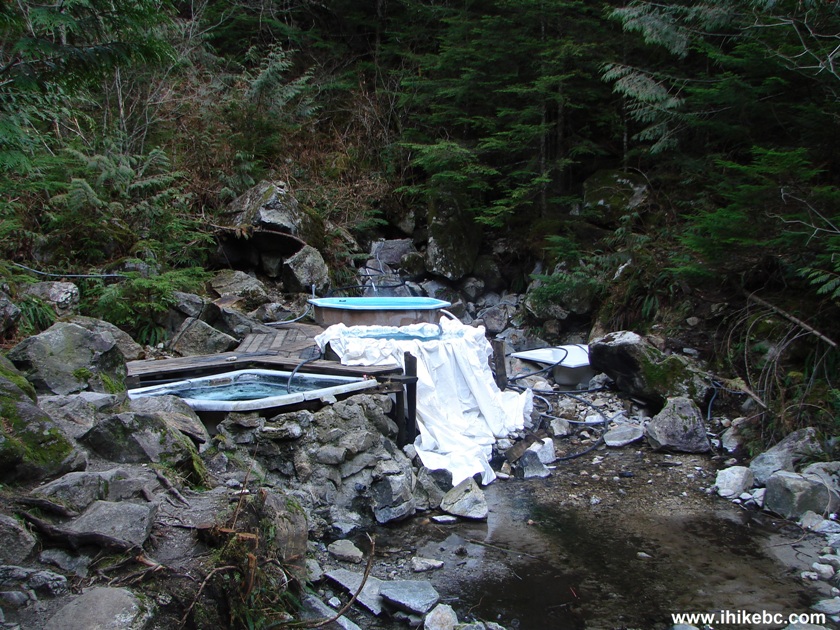
Hot Spring Bathtubs Clear Creek FSR BC Canada
21. The first one is simply spectacular. Would pass for an art piece.
Colourful Hot Spring Tub Clear Creek Forest Service Road BC Canada
22. Speaking of art.
23. The other bathtubs are as follows: a big party tub.
Tub With Water From a Hot Spring Clear Creek FSR BC Canada
24. A family tub.
Hot Spring Tub Clear Creek FSR BC Canada
25. A single bather tub. The hoses bring the water from the spring straight into the tubs. We did not bathe, but did dip our hand - the water had about the same temperature as in a hot tub in a public pool. Must be awesome to sit in one of these tubs at night and gaze at the stars.
26. Looking back toward the Clear Creek Forest Service Road. The art tub in the foreground.
It took three hours to get to the hot spring from the
beginning of Clear Creek FSR, and less than two and a half hours to get
back. Please, note, that there was some garbage around the tubs,
including broken glass. Overall, this is certainly a good place to visit
for the hot spring and for the views along the road, both before and
after Harrison East splits with Clear Creek FSR.
|
 |
Other Trips in Harrison Hot Springs Area:
Follow @ihikebc Tweet
ihikebc.com Trip 076 - Clear Creek Forest Service Road Trip to a Hot Spring


