Trip 195 - July 25, 2020 (Saturday)
Crazy Creek Trail Hike
Near Tatla Lake BC
Second Trip
Trailhead Location: Approximately 244 kilometers from Williams Lake via Highway 20, Tatlayoko Lake Rd, and Snoring Horse Ranch access road: about 219 km from Williams Lake on Highway 20 to Tatlayoko Lake Road (turn left), then 23 km to Snoring Horse Ranch access road (turn right), then 2 km to trailhead parking (park on the left side).
Liked: Mountain and lake views, plateau views, pond view, shade in the forest for the most part.
Of Note: Free-roaming cattle on Highway 20 and Tatlayoko Road, remote wilderness area, high altitude hike, some mosquitoes in the forest and a whole lot more in sub-alpine and in alpine, no sun cover beyond the forest, bushes in the 2km-long marsh from the end of the trail to the alpine are knee- to waist-high, and its, generally, a very treacherous terrain after the end of the trail in the forest hiking poles and boots are essential.
Cariboo Chilcotin Coast BC Backroad Mapbook (4th edition) Trailhead Coordinates: Page 13 (Tatlayoko Lake) F3.
Related Trip Reports: Crazy Creek Trail Hike, BC Highway 20 (Williams Lake to Bella Coola).
We hiked Crazy Creek Trail last year, and were so impressed by the amazing mountain and lake views, that couldn't wait to come back and see if we can climb the mountain range which looked so great from across a little valley. Alas, once we got to the alpine, it turned out that it would take much more time to get to that range than we had at our disposal. So, instead, we did about the same thing as last time - climbed a large mountain across from that mountain range, but a bit more to the left than a year ago, and a bit higher. That allowed to see the same fine views as last year, but from a somewhat different perspective, as well as made it possible to check out a sizeable plateau on the other side of the large mountain.
Also, we took a slightly different route to get to the trailhead, than in 2019. Previously, it was Highway 20 West - Eagle Lake Road - Tatlayoko Road South - Snoring Horse Ranch Access Road. This time, we went 8.5 km further West on Highway 20 past Eagle Lake Road, and turned left on Tatlayoko Road, thus bypassing Eagle Lake Road altogether. This route would make sense for travelers arriving from the West, or, if you are coming from the East (Williams Lake) but wish to visit the settlement of Tatla Lake first (it's located just over 1 km further West of Tatlayoko Road), to get supplies, including gasoline.
Speaking of gas, today, the station in Tatla Lake (it's an old 2-pump outfit with pleasant owners, who also run an adjacent general store) was closed. And not sure if they have diesel. But, about 30 minutes earlier, in Redstone (Tsi-Del-Del), there is a modern Petro Pass station, with diesel available. Do note, that the price was 31 cents more per liter of regular ($1.40 vs. $1.09) than in Williams Lake.
1. We are Westbound on BC Highway 20, approximately 244 km West of Williams Lake and 8.5 km West of Eagle Lake Road, and are approaching Tatlayoko Road.
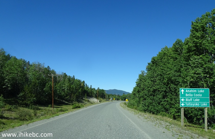
BC Highway 20 Westbound near Tatla Lake British Columbia Canada
2. Here is the intersection of BC Highway 20 West and Tatlayoko Road. The settlement of Tatla Lake is about 1 km further on Highway 20.
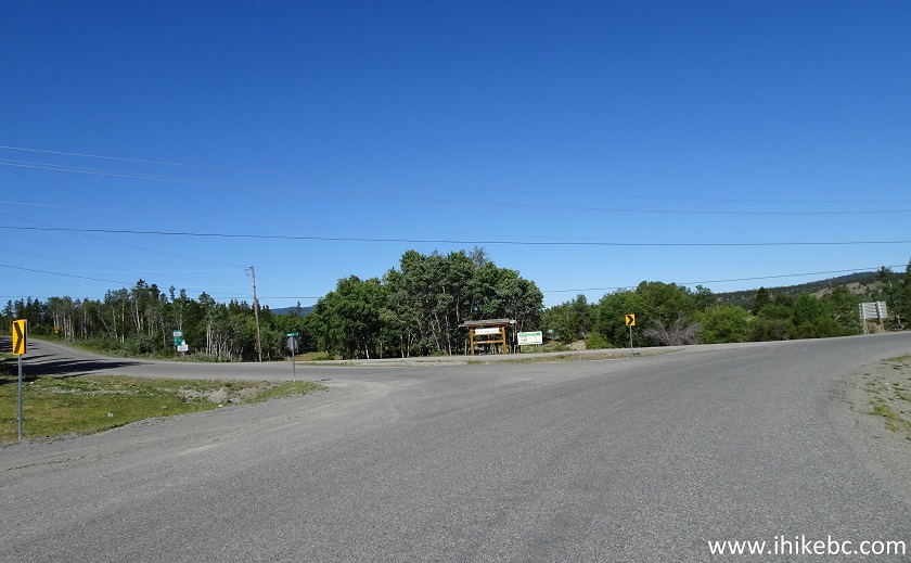
BC Highway 20 Westbound at Tatlayoko Road
3. Having turned left, we are at the beginning of Tatlayoko Road. Coordinates: N 51⁰53.769 W 124⁰35.582. Elevation: 902 meters. The sign indicates 16 km to Horn Lake.
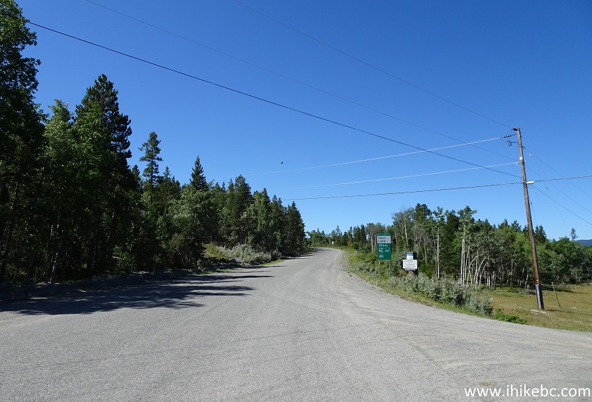
Tatlayoko Road
4. 16.5 km after turning from Highway 20, Eagle Lake Road would be on the left side. This is where you would turn left onto Tatlayoko Road, if you were to take Eagle Lake Road, which begins 8.5 km to the East on Highway 20 from Tatlayoko Road.
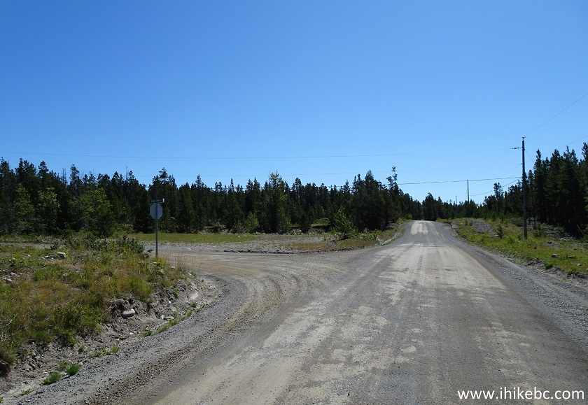
Tatlayoko Road at Eagle Lake Road
5. Tatlayoko Road turns from asphalt to packed dirt 1 km from Highway 20. It's a smooth, pleasant road to drive.
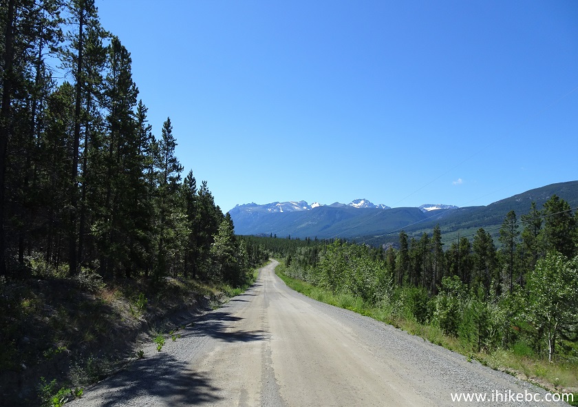
Tatlayoko Road British Columbia Canada
6. Do beware of free-roaming cattle, though.
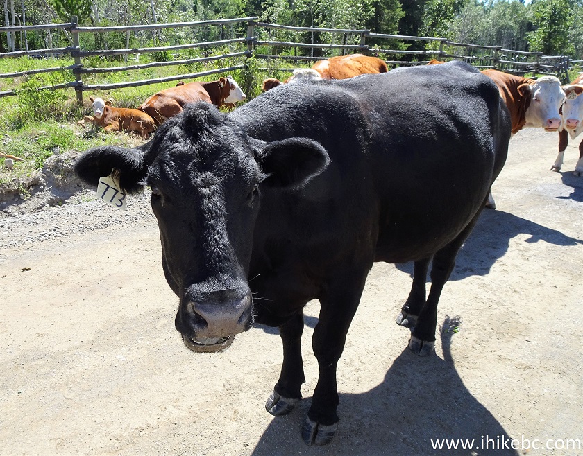
Cow on Tatlayoko Road
7. At 23.2 km, turn right onto Snoring Horse Ranch access road.
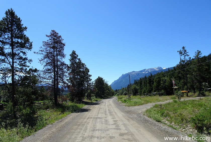
Tatlayoko Road at Snoring Horse Ranch Access Road
8. Here is the beginning of Snoring Horse Ranch access road. Regular vehicles can easily make it up to this point. However, the access road up to the trailhead is rather rough, and a high-clearance vehicle may be required (2WD ok).
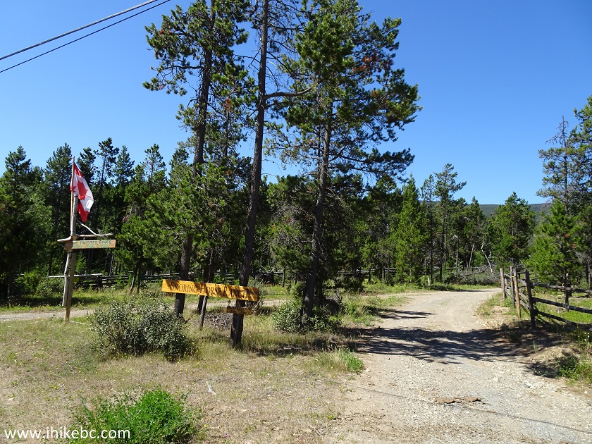
Snoring Horse Ranch Access Road near Tatla Lake BC Canada
9. Now driving on Snoring Horse Ranch access road.
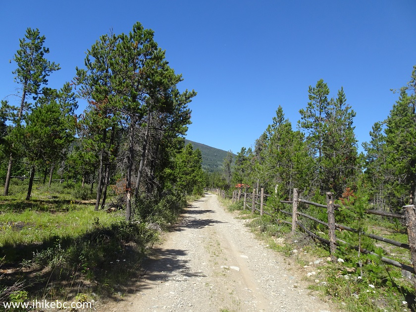
Snoring Horse Ranch Access Road
10. At 900 meters of the access road, stay left at the split pictured below.
-stay-left.JPG)
Snoring Horse Ranch Access Road near Tatla Lake BC
11. Arriving to Crazy Creek trailhead parking area, 2.2 km after turning from Tatlayoko Road (25.4 km from Highway 20). There are no signs leading to the trailhead, or indicating there is a trail here. Much gratitude to the Backroad Mapbook for showing the location of this trail.
-park-on-left-for-Crazy-Creek-Trail.JPG)
Snoring Horse Ranch Access Road at Crazy Creek Trailhead Parking Area
12. Here is the trailhead parking area, enough for 4-5 vehicles. Coordinates: N 51⁰44.450 W 124⁰27.909. Elevation: 1,038 meters.
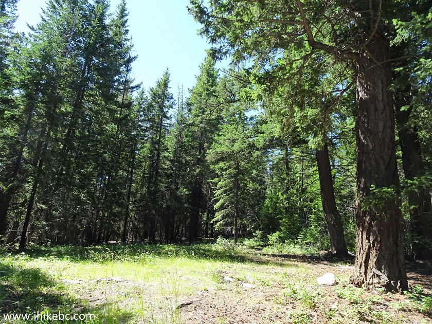
Crazy Creek Trailhead Parking Area
13. The trail starts on the very right side. Ignore a more narrow trail to the left of the trail seen in the photo below.
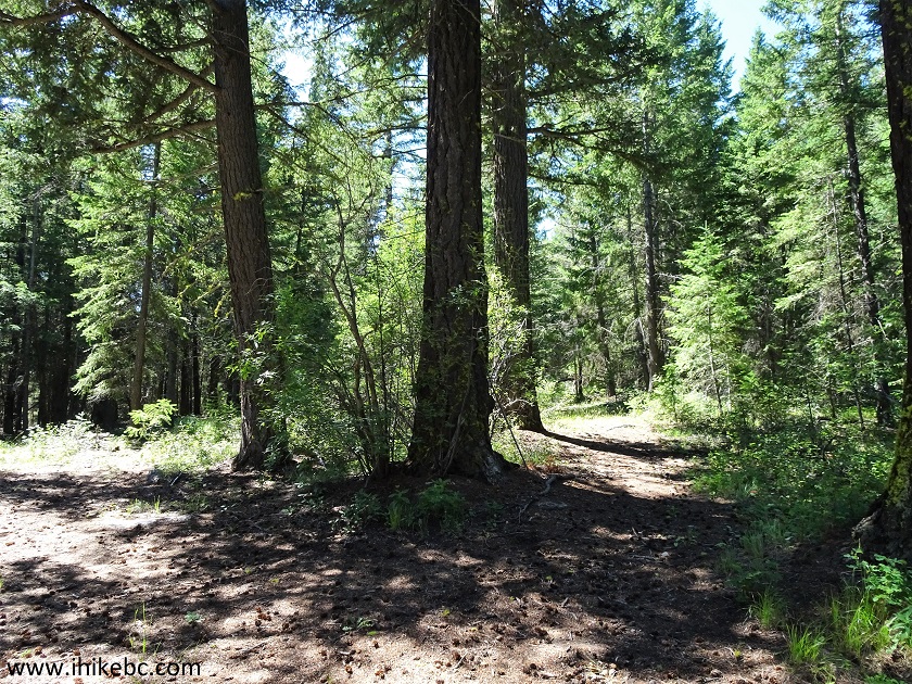
Crazy Creek Trailhead - British Columbia Hiking
14. Crazy Creek Trail goes for about 7.5 km, and almost all of it is in a forest. There is a steady elevation gain, with some flat stretches.
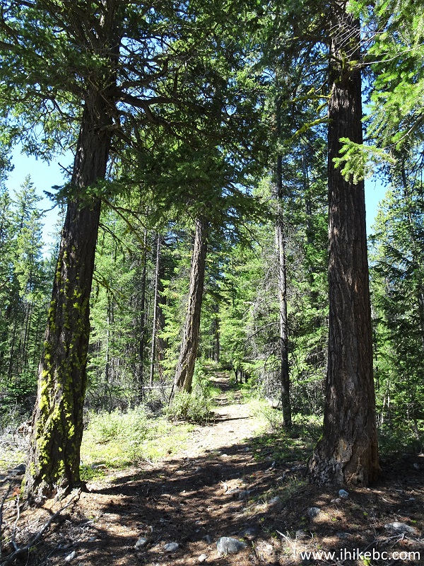
Crazy Creek Trail
15. There isn't much to see in the forest, except a fine pond view at about 5.5 km of the trail. Two other ponds are located nearby.
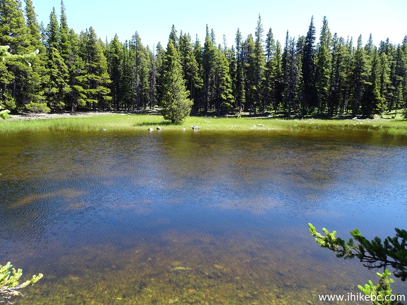
Pond by Crazy Creek Trail - Chilcotin Hiking
16. After about 7.5 km, the trail comes out of the forest and ends in a vast sub-alpine. Coordinates: N 51⁰42.999 W 124⁰32.212. Elevation: 1,909 meters.
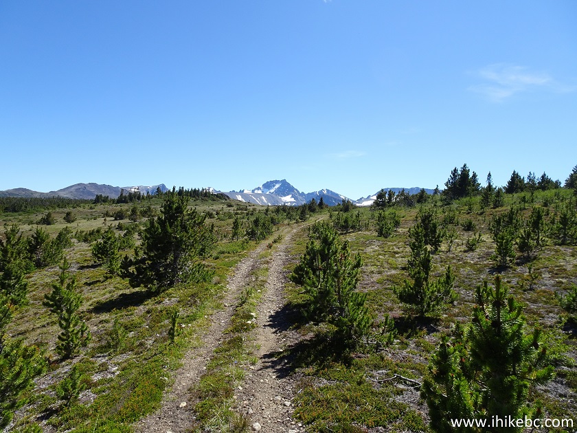
Crazy Creek Trail British Columbia Canada
17. Last year, we went straight towards a large mountain, partially seen here on the right side. Between the end of the trail and the base of the mountain, there is a 2 km-long marshy stretch, full of vicious mosquitoes. This time, we decided to go more to the left, keeping close to the forest seen in the middle-left of the photo below.
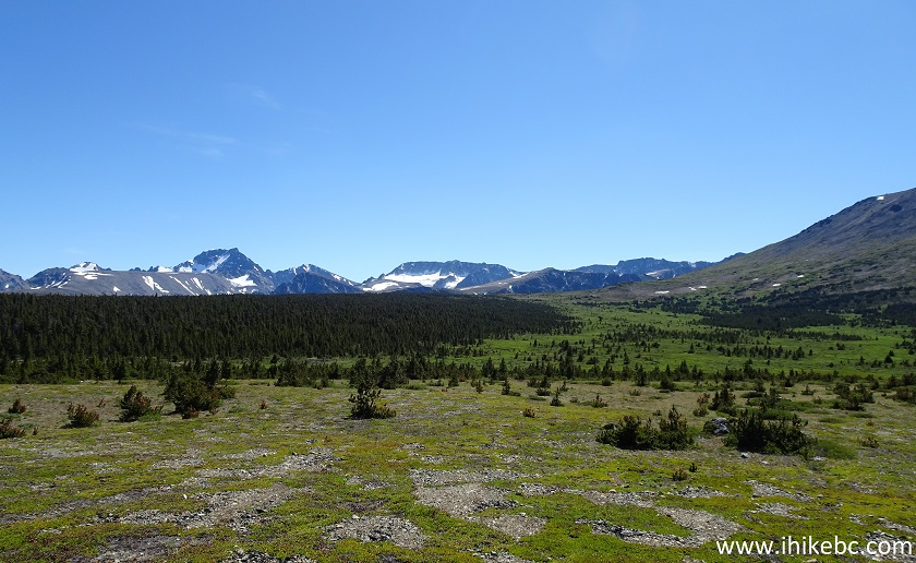
Hike in British Columbia
18. This was still a tough stretch, and the marsh and the bushes were still there, but the bushes were somewhat lower (mostly knee-high), and mosquitoes were not as numerous, compared to just 400-500 meters to the right. We know that for sure, because, on the way back, we took the same route straight across from the mountain as last year, and the difference in the height and density of the bushes and the number of the mosquitoes was substantial. But, no matter which way you go, this is a very challenging terrain, due to having to go through the bushes, and numerous ground hazards (including holes, stones, and brooks) hidden by the vegetation.
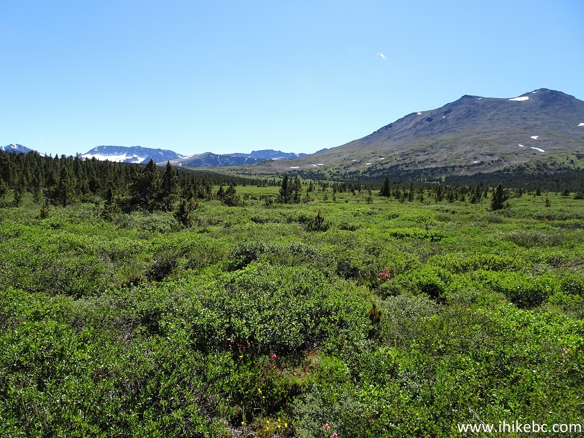
Chilcotin Hike
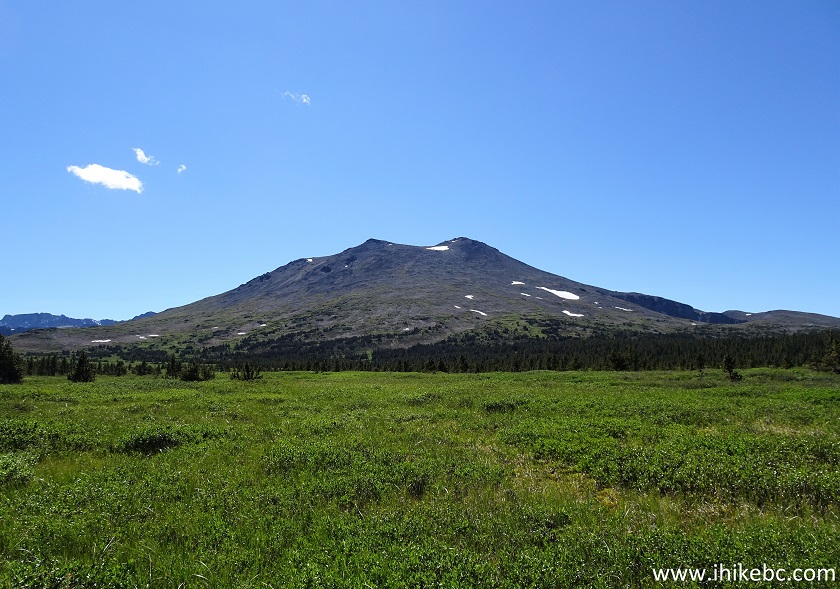
19. Here is that large mountain.
Hiking in Canada
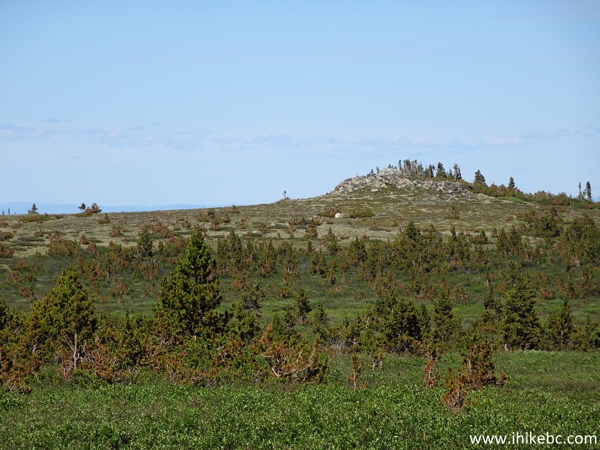
20. Looking back, we see a rock outcropping on the right side. If you ever get disoriented, head towards this outcropping - the trail is just to the left.
Canada Hiking
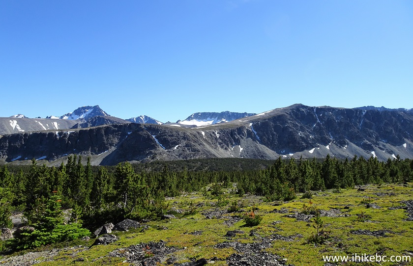
21. Approaching the mountain range.
Mountain Range in Crazy Creek Area
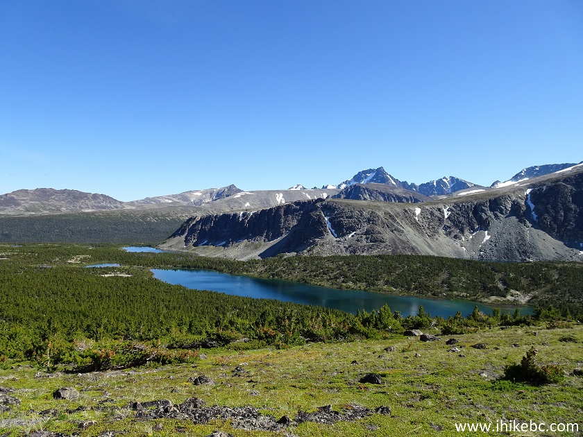
22. These are fine-looking lakes. There about five of them out there. Coordinates: N 51⁰41.700 W 124⁰33.204. Elevation: 2,119 meters.
British Columbia Mountains
23. A panorama of the mountain range shortly after we crossed the marshy area.
24. We then started to climb the left side of the large mountain, as there was a pronounced ridge there. As the altitude was over 2,000 meters and the terrain was steep and full of loose stones, it was a difficult ascent.
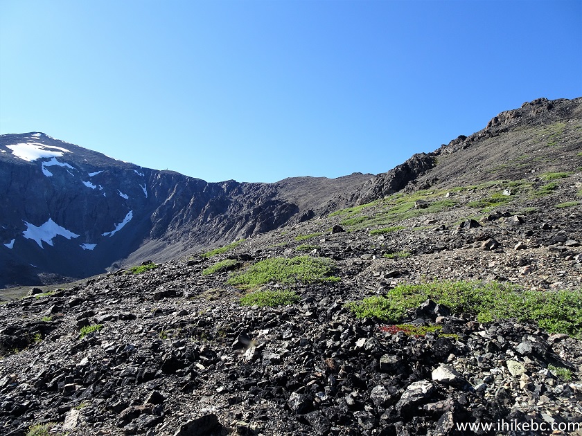
Hike in Chilcotin Region of British Columbia
25. The views behind were certainly worth a tough climb.
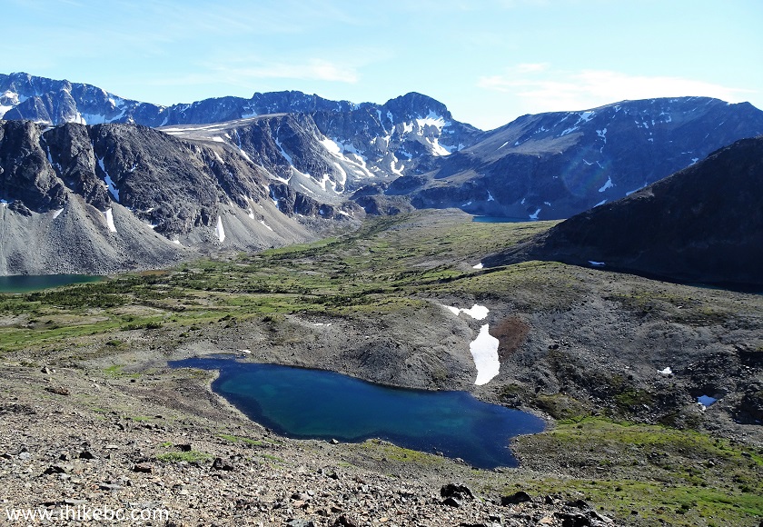
Mountain Lake British Columbia Canada
26. Steep terrain full of loose stones.
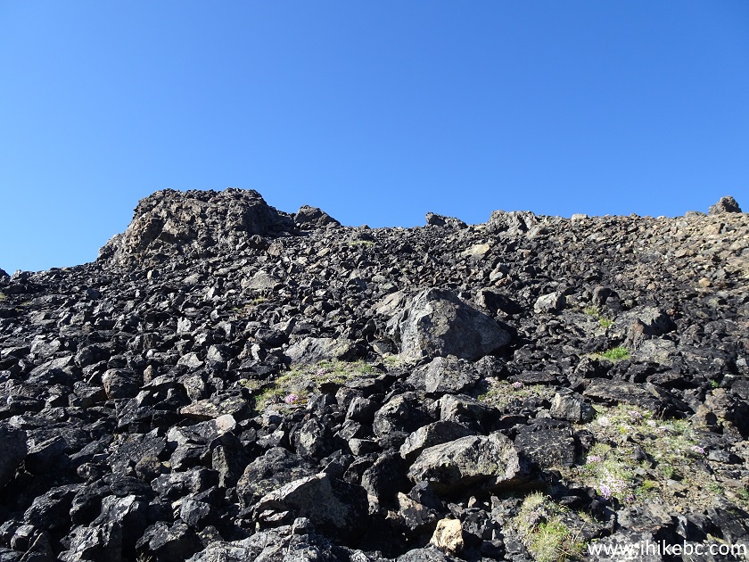
Hike in BC
27-29. More great views. Left to right. Approximate coordinates: N 51⁰41.842 W 124⁰33.919. Elevation: 2,315 meters.
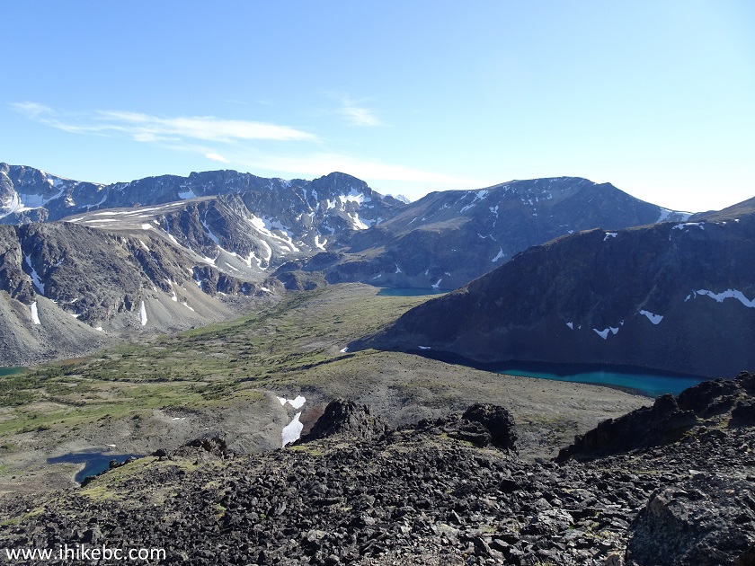
Hike in British Columbia Mountains
Here is our video of the views near this location.
30. We finally made it to the beginning of the ridge, and discovered a substantial plateau on the other side of the large mountain, as well as another lake. Approximate coordinates: N 51⁰42.213 W 124⁰34.233. Elevation: 2,542 meters.
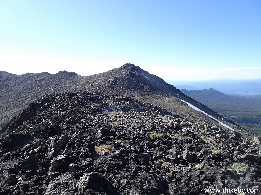
Mountain Ridge British Columbia Chilcotin Region
31-35. Views from the ridge. Left to right.
36. Made for a neat panorama too.
Here is our video of the views from this location.
More ihikebc videos are on our YouTube Channel.
Crazy Creek is a tough trail more suitable for experienced and well-equipped hikers, but sure leads to great views. Highly recommended.
|
|
|
Other Trips in Tatla Lake BC Area:
ihikebc.com Trip 195 - Crazy Creek Trail Hike (near Tatla Lake BC) Second Trip


