Trip 088 - July 3, 2015 (Friday)
Shipyard & Titanic Trail Hike
Near Tumbler Ridge BC
Page 1 of 2
Location: Northeastern British Columbia, about 42 kilometers
Southeast of Tumbler Ridge.
Liked: Natural views, meeting several marmots, fairly easy path.
Of note: No cell phone signal, numerous dangerous crevices and steep drop-offs, wind gusts. Hiking poles and boots are recommended.
Northern BC Backroad Mapbook (3rd edition) Coordinates: Page 44 (Tumbler Ridge) D5.
Follow @ihikebc Tweet
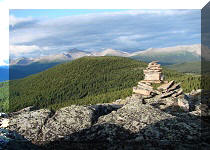
Shipyard & Titanic Trail is located just a few kilometers further up the road from Boulder Gardens Route. Shipyard & Titanic has several great views, and there is an option to extend the hike by climbing a small mountain at the end of the trail to explore the alpine area. Marmots live along this trail, and you are likely to see at least one of them, as these creatures are very curious, and come out from their hiding places to see what is going on.
1. In order to get to Shipyard & Titanic Trail, check out the instructions for getting to Boulder Gardens Route. Drive past the Boulder Gardens parking area, continuing up the same forest service road. Soon, you would come across a gate, which should be open, unless some dangerous industrial activity is occurring further on.
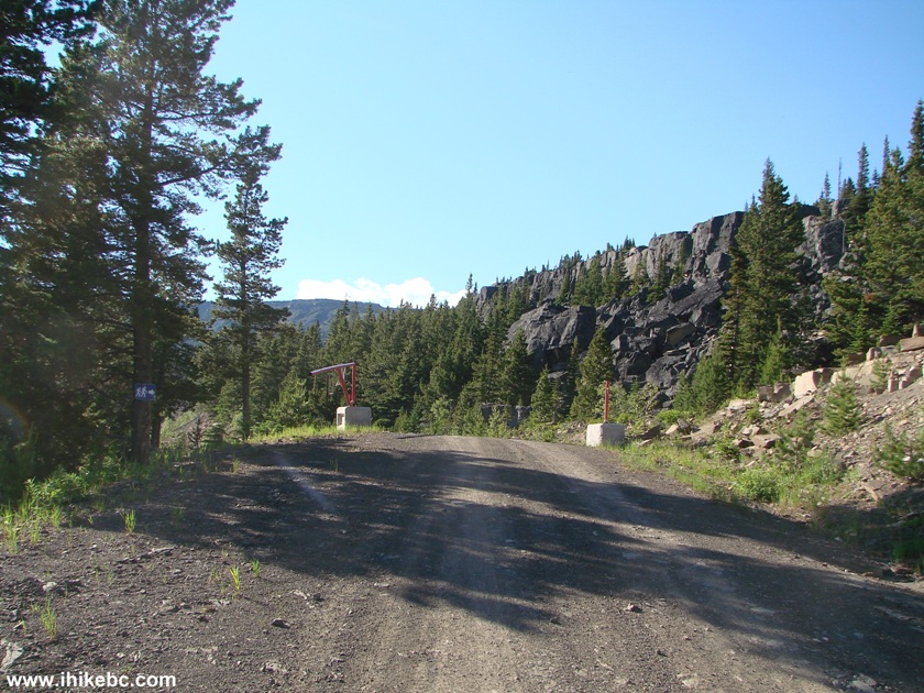
Road leading to Shipyard & Titanic Trail near Tumbler Ridge British
Columbia Canada
2. The sign on the gate.
3. Just over two kilometers from Boulder Gardens, you would reach Shipyard & Titanic trailhead. Lots of space there for parking. A very short Tarn & Towers trail starts here too, and we'll have some photos of that trail at the end of this trip report.
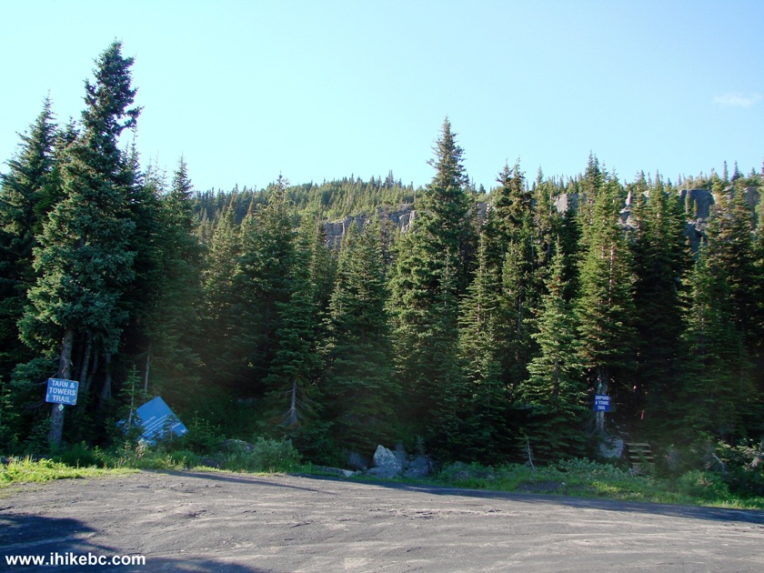
Shipyard & Titanic Trail Parking Area
4. Turning back, we see Roman Mountain, and the road we took to get here.
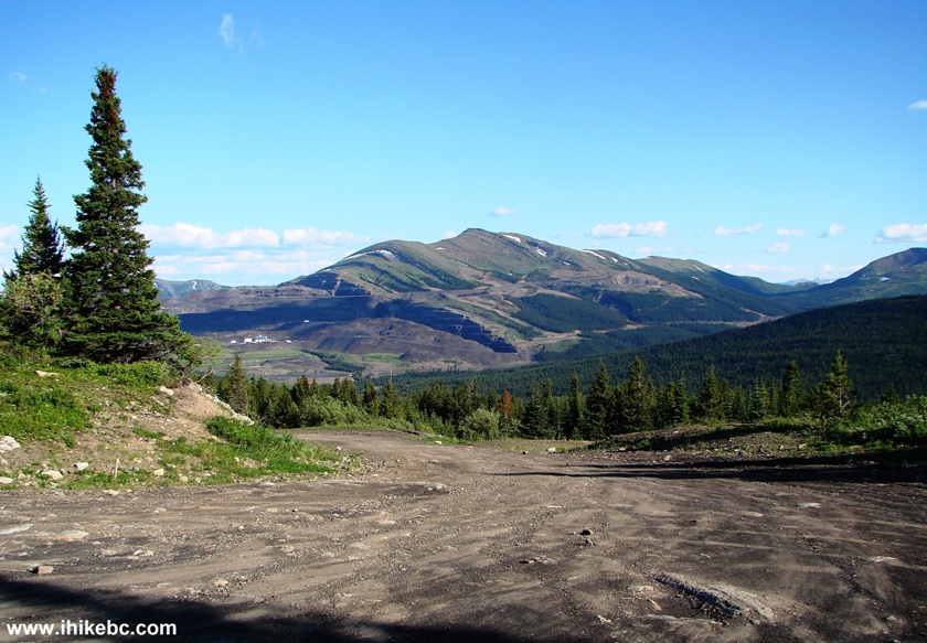
Roman Mountain near Tumbler Ridge BC Canada
5. Shipyard & Titanic trailhead. Coordinates: N 54⁰55.585' W 121⁰00.023'. Elevation: 1,615 meters.
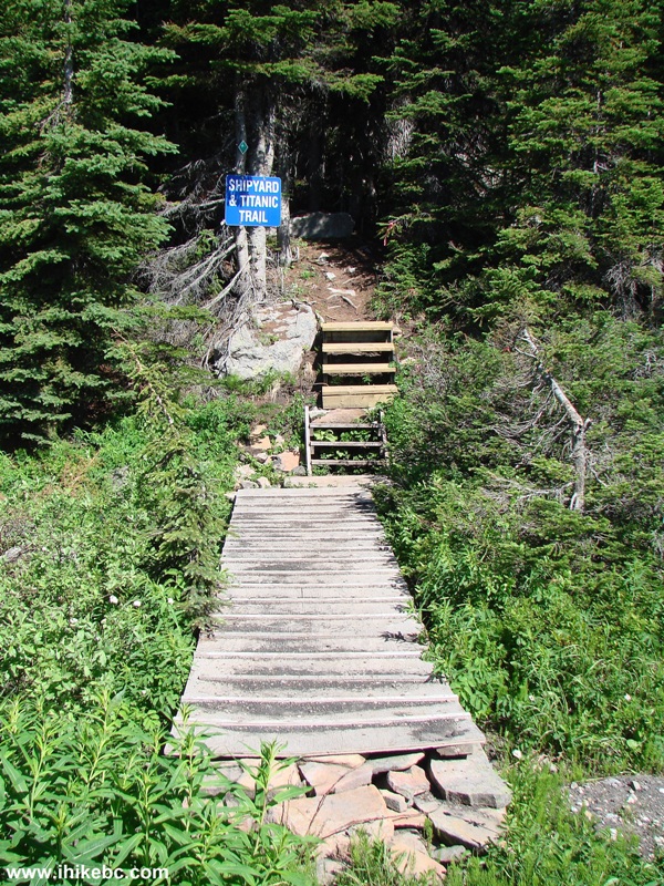
Shipyard & Titanic Trailhead British Columbia Canada
6. Enjoy at your own risk.
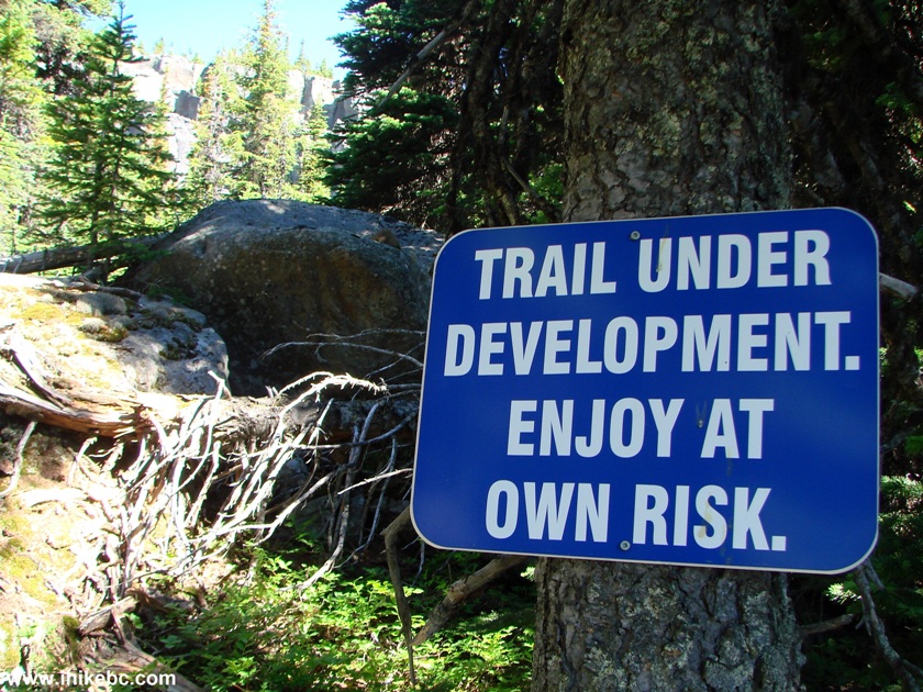
Shipyard & Titanic Trail Warning
7. The beginning of the trail.
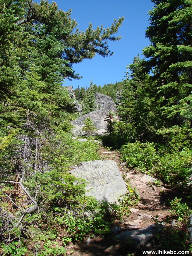
The beginning of Shipyard & Titanic Trail British Columbia Canada
8. A neat view of the stones.
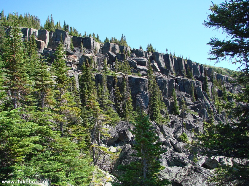
View from Shipyard And Titanic Trail Province of BC Canada
9. And then comes the risk, as you need to walk across a rock field. There is a decent stone path there.
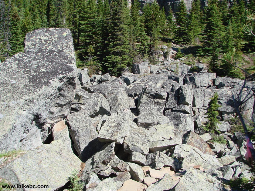
Hiking in Tumbler Ridge Area - Shipyard And Titanic Trail British Columbia Canada
10. Having conquered that, check out British
Columbia's answer to
Stonehenge.
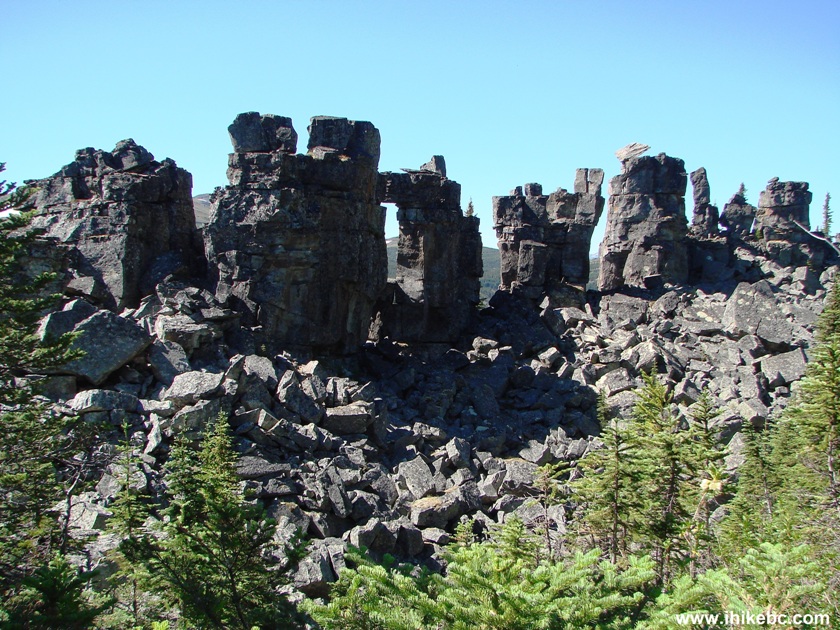
View from Shipyard And Titanic Trail - BC Hiking
11. It's quite impressive.
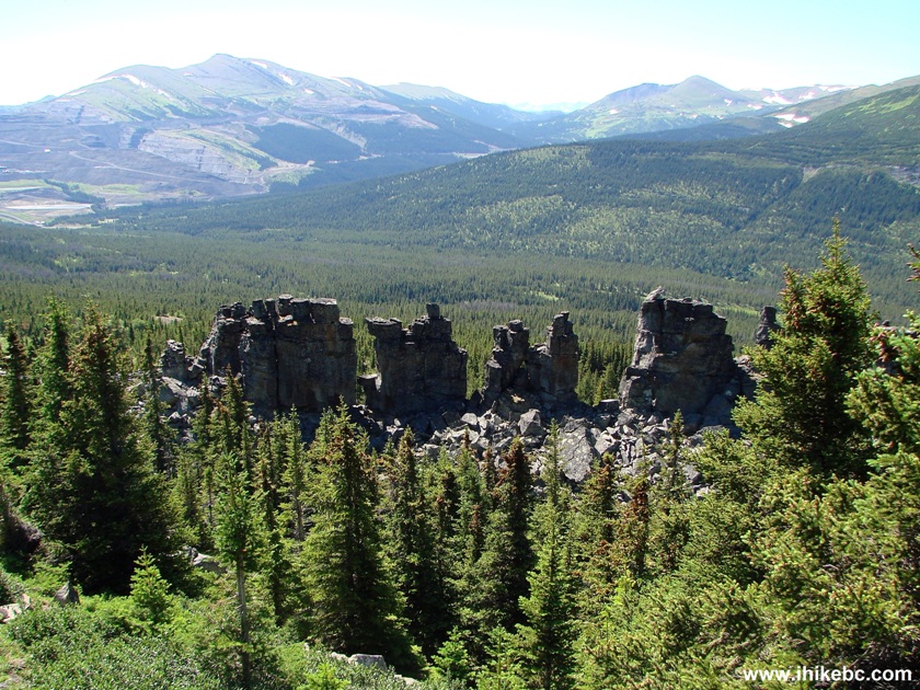
British Columbia Hiking - view from Shipyard & Titanic Trail
12. A short side trip to Chockstone Ridge.
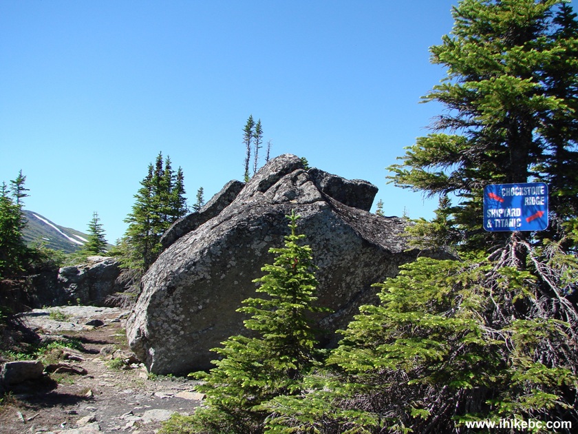
Sign to Chockstone Ridge Side Trail - Shipyard & Titanic Trail -
Hiking in British
Columbia Canada
13. The ridge is picturesque.
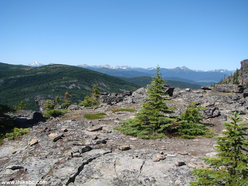
Chockstone Ridge BC Canada
14. And it's also a home to at least two marmots. Here is one of them.
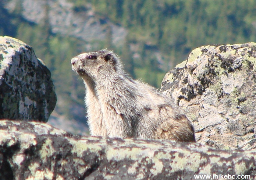
Marmot on Chockstone Ridge British Columbia Canada
15. Back on the main trail.
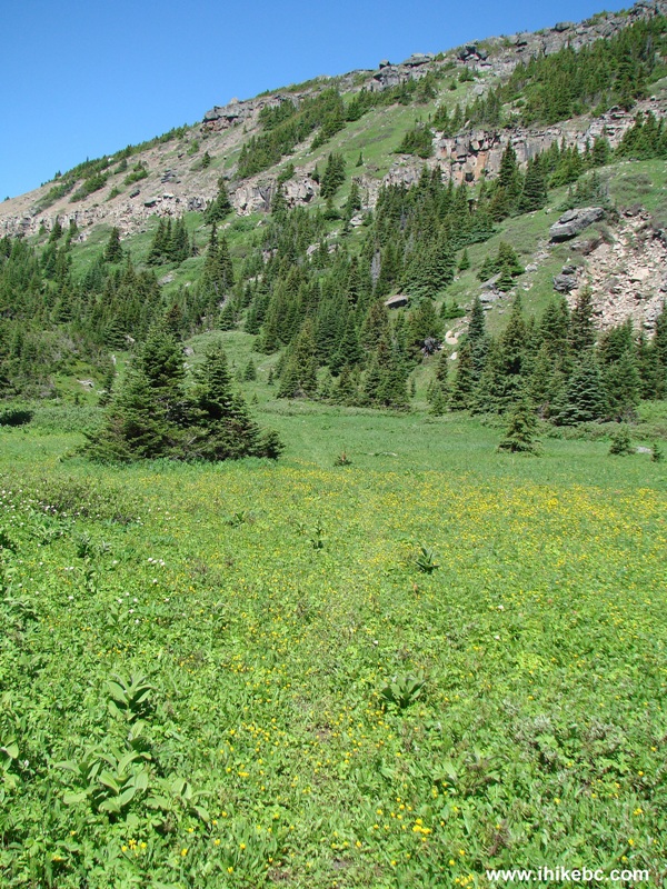
Shipyard & Titanic Trail - Hike in Tumbler Ridge Area
16. Stones, grass, sky, trees.
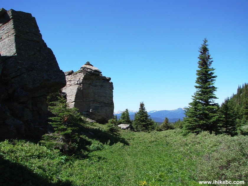
Picture of Shipyard & Titanic Trail British Columbia Hiking Canada
17. More stones.
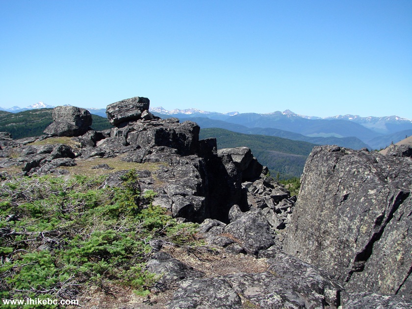
Tumbler Ridge Hike - Shipyard & Titanic Trail
18. Approaching Titanic.
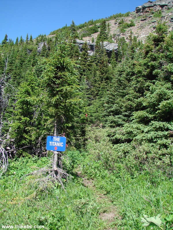
Shipyard & Titanic Trail BC Hike
19. It was quite a windy day, which helped to keep the mosquitoes away.
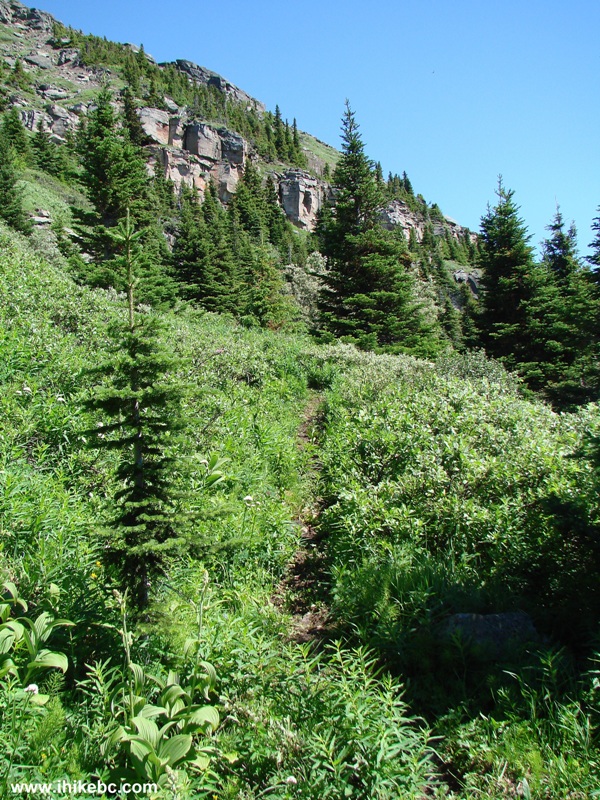
Hike British Columbia - Shipyard And Titanic Trail near Tumbler Ridge
20. The last short climb.
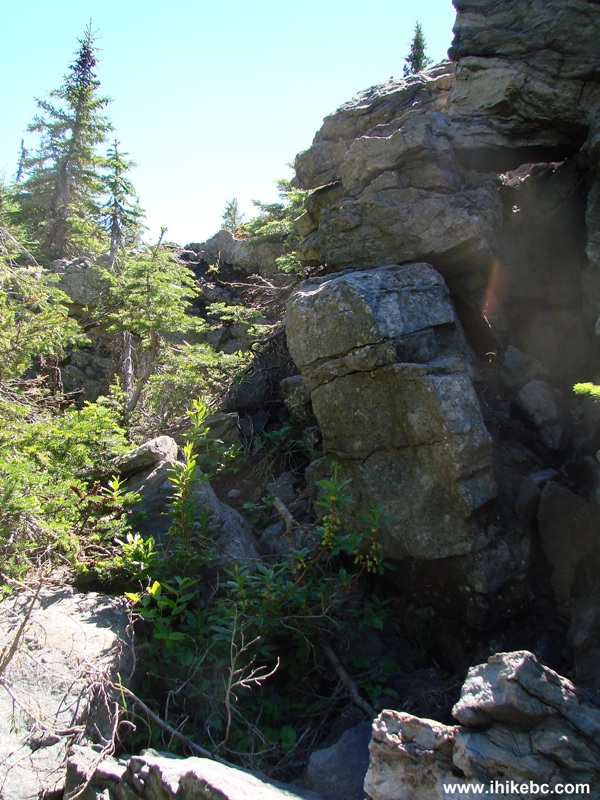
BC Hiking - Shipyard and Titanic Trail near Tumbler Ridge
21. And we are on the Titanic rock group.
22. Why Titanic? Because of this view. Resembles a sunk Titanic, doesn't it? The coordinates for the point from where this photo was taken: N 54⁰55.727' W 121⁰00.775'. Elevation: 1,697 meters.
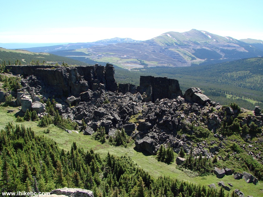
View of "Titanic" - Shipyard And Titanic Trail British Columbia Canada
Here is Our Video of the views in this area.
Starting from 18th second, you can see "Pink Mountain", which we climbed a bit later:
More ihikebc videos are on our YouTube Channel.
23. It only took 90 minutes to get here, and the trail ended. But there was an opportunity to climb a small mountain just across from this gap. Titanic is on the left, and the yet unexplored mountain is on the right.
24. So, we went up what we would call Pink Mountain, due to the colour of its stones. If you decide to go up Pink Mountain, hiking boots and poles would be highly recommended, as this path is much steeper than anything up to this point.
Our Trip Report Continues on Page 2
|
 |
Other Trips in Tumbler Ridge BC Area:
| Monkman Falls Hike |
|
Windfall Lake Trail  |
| Cowmoose Mtn Trail |
|
Bootski Lake Trail  |
| Murray Canyon Overlook |
|
Quality Canyon Trail  |
Follow @ihikebc Tweet
ihikebc.com Trip 088 - Shipyard & Titanic Trail Hike (near Tumbler Ridge BC) Page 1 of 2


