![]()
![]()
![]()

Trip 165 - July 26, 2019 (Friday)
Chilliwack Dyke Trail
Chilliwack BC
Liked: Numerous fine rural vistas, mountain views, Fraser River views, no bugs.
Of Note: Limited parking, no shade, snakes in the area, horse manure on the trail, some traffic and railroad noise.
Vancouver, Coast & Mountains BC Backroad Mapbook (2nd edition) Approximate Trailhead Coordinates: Page 4 (Chilliwack) D3.
Another Dyke Trail Trip in Chilliwack: Vedder Rotary Loop Trail.
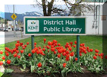
Other Trips in Chilliwack Area: Flora Lake Trail, Williams Ridge Trail, Mount Thom Lookout Loop Trail, Teapot Hill Trail Hike, Greendrop Lake Trail, Mount Cheam Peak Trail, Ling Lake Trail Hike (off Chilliwack Foley FSR), Chilliwack Foley FSR, Chilliwack Bench FSR, Elk-Thurston Trail, Slesse Memorial Trail, Downtown Chilliwack BC Visit, Chilliwack Lake FSR, Radium Lake Trail, Chilliwack Lake Provincial Park, Minter Gardens, Town of Agassiz BC, Bridal Veil Falls Provincial Park.
Chilliwack Dyke Trail is Chilliwack's answer to Abbotsford's Matsqui Trail. You walk/bike/ride a horse along a flat path, and observe fine rural views, mountains, and Fraser River. And, just as the case with Matsqui Trail, there are several access points, which allow to start the trail at several locations. Chilliwack Dyke Trail is also slightly shorter and not as busy as Matsqui Trail. Parking is more limited too, but should not be an issue. It's just a very pleasant trail, despite some snakes, no shade, an occasional pile of horse manure, and some unleashed dogs, even though leashing is mandatory on this trail. Getting to the trail can be a bit tricky, as it's located behind a maze of short North Chilliwack roads, but the drive to the trail itself is quite pleasant as well.
We biked the whole trail (almost 12 km one way) and back, and saw about 20 people in total, mostly walking dogs, but one was jogging, another was biking, and a few were just walking and enjoying the nature. There were also two small snakes (about half a meter long) hanging out on the trail very close to each other, but they hurriedly ran away upon our approach.
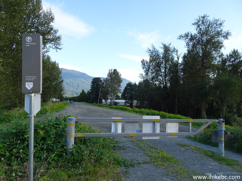
Several "Canyon to Coast Trail" signs placed along this trail (and even on the side of some roads as you are driving towards the trailhead) refer to a possible trail from Hope in the East to Salish Sea in the West. Chilliwack Dyke Trail is going to be a part of that 500 km+ trail, thus the signs. You can find more information on Canyon to Coast Trail on Fraser Valley Regional District's site.
1. We are Westbound (towards Vancouver) on Highway 1, approaching Exit 120 (Young Rd). Please, note, that there is no Eastbound Exit 120, so, if driving from Vancouver or other points West, take Exit 123 (Prest Rd), go North, turn left at the intersection of Prest Rd and First Ave, and then right onto Young Rd. Taking Exit 119 (Vedder Rd / Yale Rd) is not as straightforward, as there is no left turn from Yale Rd onto Young Rd. Or, make it really simple - take Exit 123, make a U-turn, head Westbound on Highway 1, and then take Exit 120 (Young Rd).
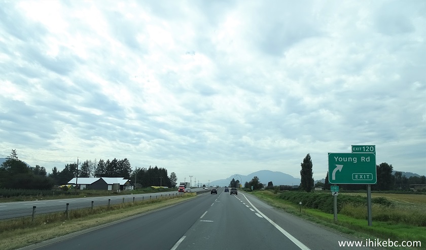
TransCanada Highway 1 Westbound by Exit 120 Young Road in Chilliwack BC
2. Now at the exit ramp. Young Road is seen straight ahead.
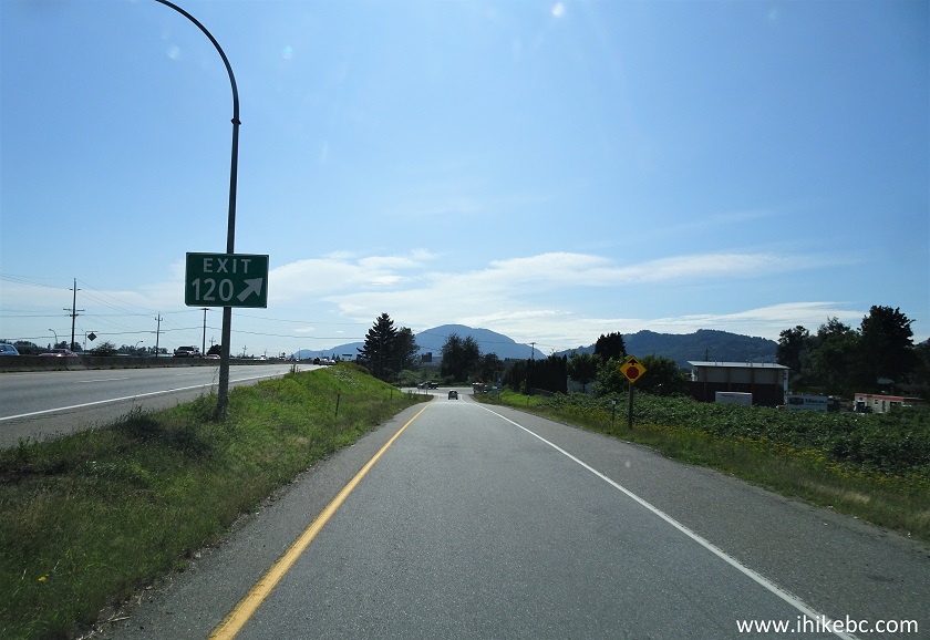
TransCanada Highway 1 Exit 120 Young Road Ramp
3. Here is Young Road at the end of the highway exit ramp. Zero your odometer here and make a right turn.
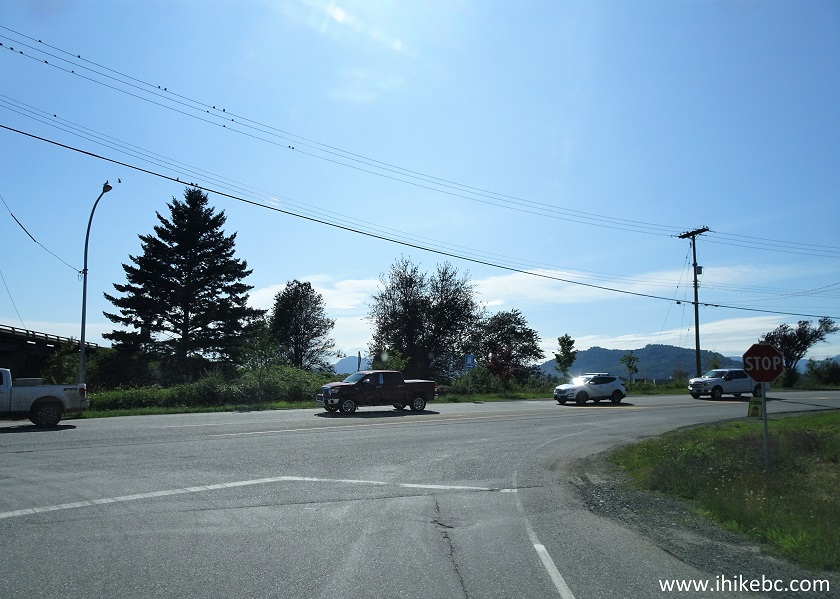
Exit 120 Ramp at Young Road Chilliwack BC Canada
4. Young Road goes through much of downtown Chilliwack.
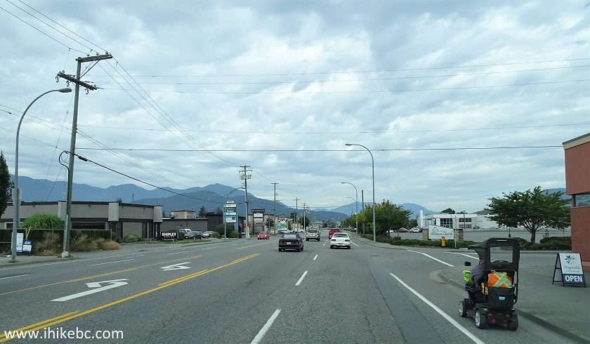
Chilliwack British Columbia
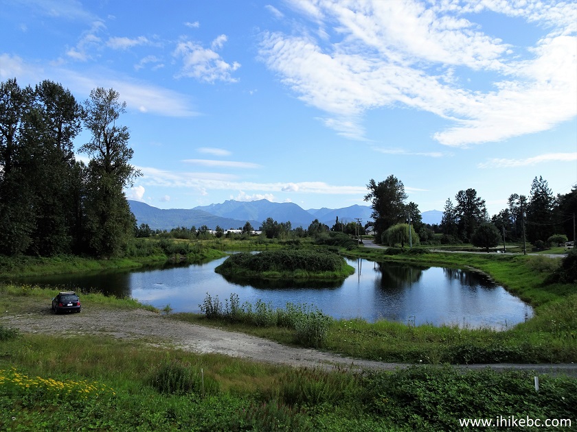
5. Then, Young Road enters rural North Chilliwack. It goes by Island 22 Regional Park turnoff 5.2 km after leaving Highway 1.
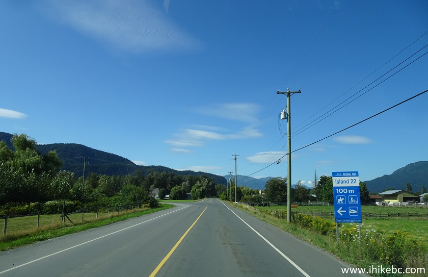
Chilliwack BC - Young Road at Island 22 Regional Park Turnoff
6. Keep right 400 meters later - Young Road will become Tower Road.
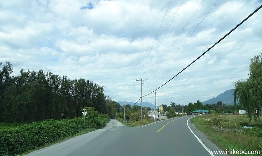
Tower Road Chilliwack BC
7. Yet 400 meters further, make a right turn from Tower Road onto Brinx Road.
Tower Rd at Brinx Road Chilliwack BC Canada
8. Brinx Road looks neat.
Brinx Road Chilliwack British Columbia
9. At 6.7 km past the highway (700 meters after Brinx Road begins), make a left turn onto McDonald Road.
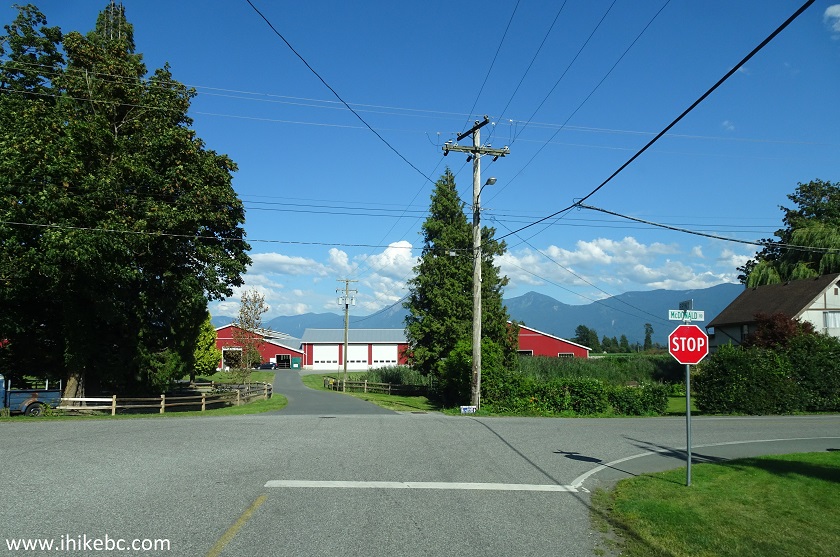
Brinx Road at McDonald Rd Chilliwack BC
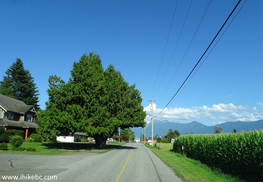
10. McDonald Road looks very fine as well.
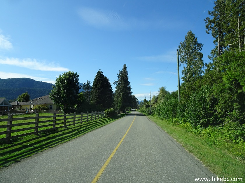
McDonald Rd Chilliwack British Columbia
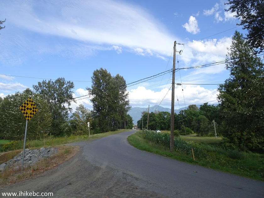
11. After driving for 600 meters on McDonald Road, we are at the trailhead. To the left is overflow parking for 4-5 vehicles - the entrance is just past the first "sharp turn" black arrow sign on a yellow background.
Parking Area for Chilliwack Dyke Trail
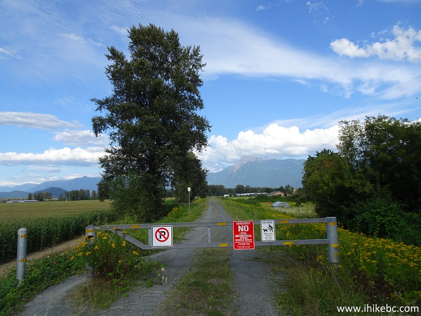
12. Main parking (for 3-4 vehicles) and the trailhead are to the right. Coordinates: N 49⁰12.178'. W 121⁰56.369'. Elevation: 6 meters. The trail begins at the gate seen straight ahead. No motorized vehicles are allowed, and the City of Chilliwack offers a fine of up to $10K to those who ignore the warning sign.
Chilliwack Dyke Trailhead and Parking Area
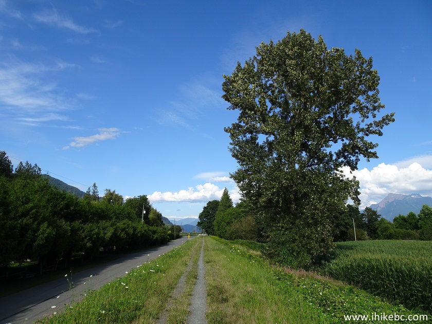
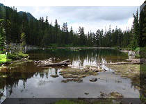
13. Chilliwack Dyke Trail goes for almost 12 kilometers from here. You see rural houses, fields of corn, cattle farms, a tree farm, Fraser River, and many mountains. Some rabbits and snakes may keep you company as well.
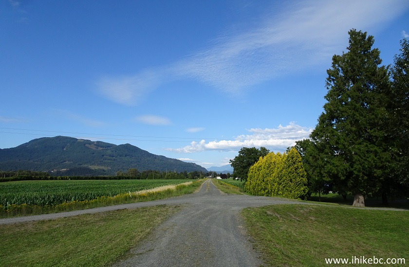
Chilliwack Hiking - Chilliwack Dyke Trail
Here is a short video of the views while riding a bike. Please, excuse the camera shake.
More ihikebc videos are on our YouTube Channel.
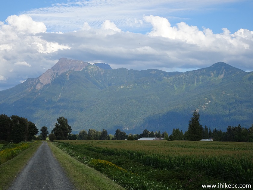
14. Lots of corn. And lots of mountains.
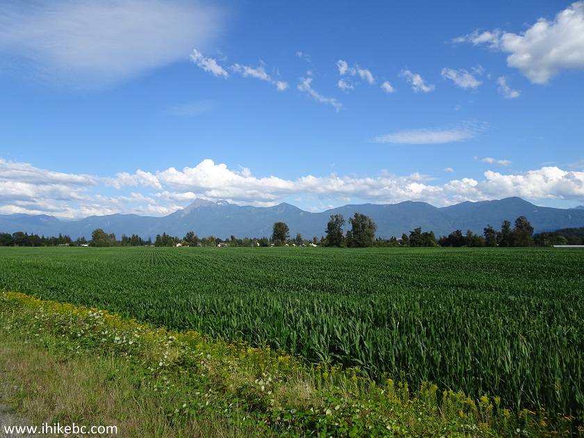
Hiking in Chilliwack - View from Chilliwack Dyke
Trail
15. Chilliwack Dyke Trail is very flat, and is made of hard packed gravel. Though, the second half of the trail features a stretch of several hundred meters long, where gravel was somewhat loose and deep, making biking a bit challenging.
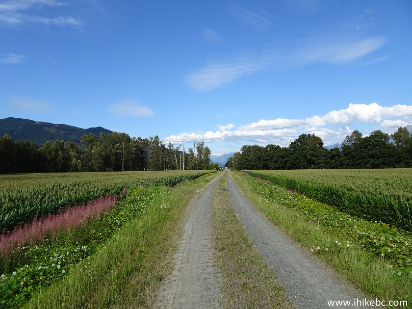
Hike in Chilliwack on Chilliwack Dyke Trail
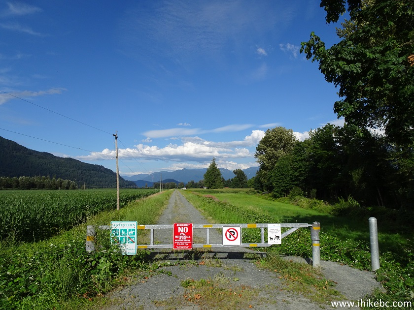
16. There are gates on Chilliwack Dyke Trail where it crosses city streets. The first crossing is Ballam Rd, 1.5 km after the start of the trail. You may park fairly close to these gates and, thus, get onto the trail at various points. Or, if you have two vehicles, it is possible to make it a one way trip, with the help of a car shuttle.
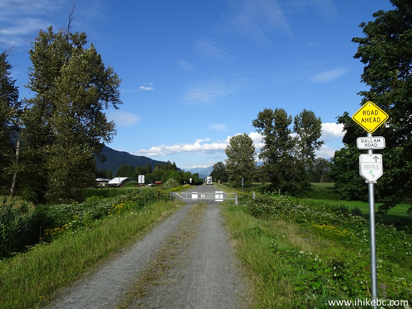
Chilliwack Dyke Trail - BC Hiking
17. The view after the Ballam Road gate.
Hiking in BC - Chilliwack Dyke Trail
18. At 2.1 km arrives McSween Road crossing. This is actually where a trail ribbon appeared in our GPS with Backroad Mapbook software. The trail in the GPS is called "South Fraser Chilliwack Dyke Trail". The trail ribbon continued until the end of the actual trail.
Hiking Trail in Chilliwack - Chilliwack Dyke Trail
19. A fine view to the left.
Chilliwack Dyke Trail British Columbia Canada
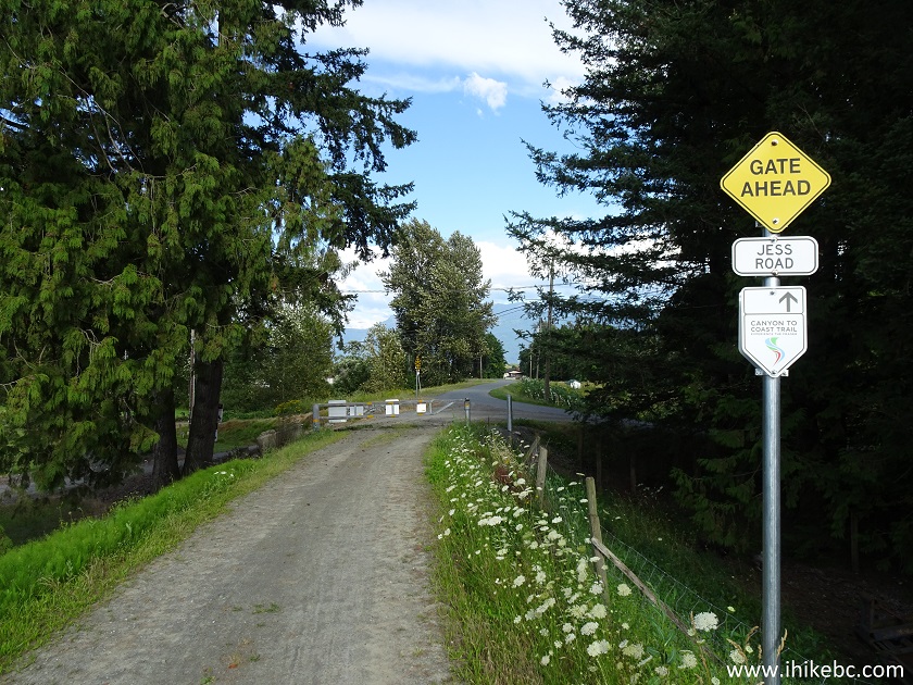
20. The next street crossing is Jess Road at 3.4 km. After this gate, the trail continues along the street for about 350 meters.
British Columbia Hiking and Biking Trail - Chilliwack
Dyke Trail
21. Here is the trail along Jess Road. This is a very rural area, but some vehicles are still present, so watch for traffic.
Jess Road Chilliwack BC Canada
22. Re-entering the dyke 350 meters later.
Hiking in British Columbia - Chilliwack Dyke Trail
23. And here is that tree farm. Looking to the right.
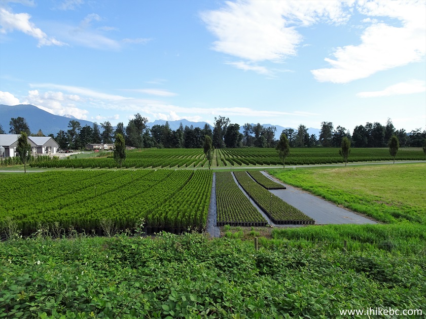
Chilliwack Tree Farm seen from Chilliwack Dyke Trail
- Chilliwack Hiking
24. Carey Road crossing arrives at 4.7 km.
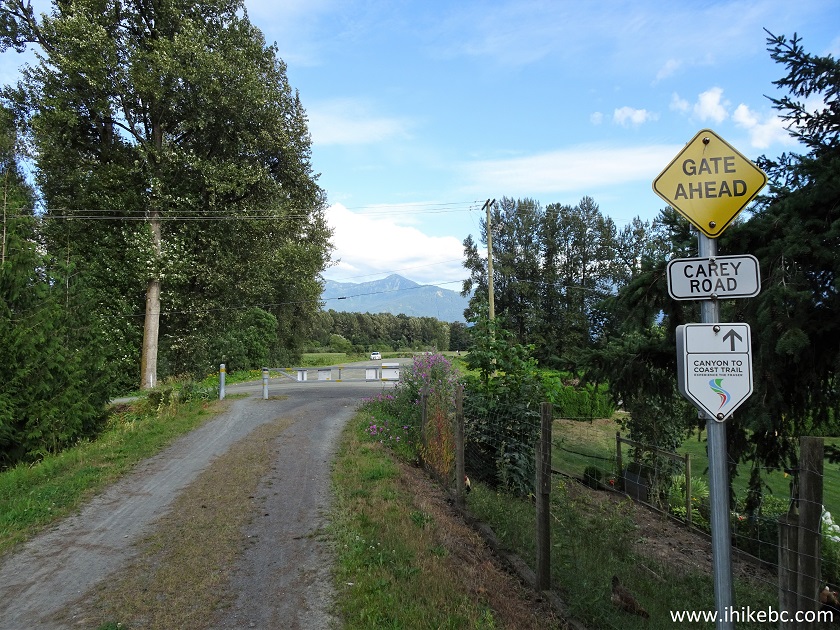
Chilliwack Dyke Trail - Hike in Chilliwack
25. Looking to the right after the gate. There is a very large parking area by Carey Road, and most people who we saw using the trail appeared to have started at this spot.
View from Chilliwack Dyke Trail in Chilliwack British
Columbia Canada
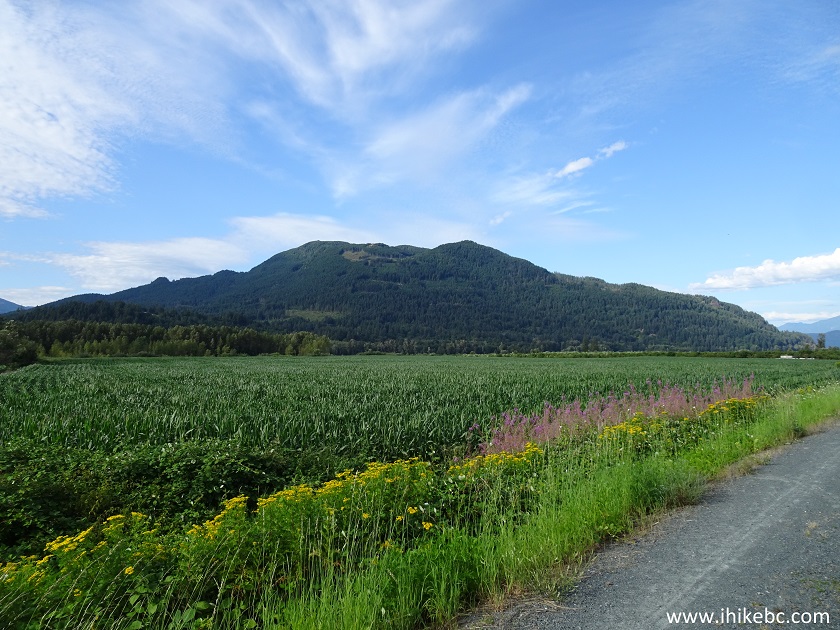
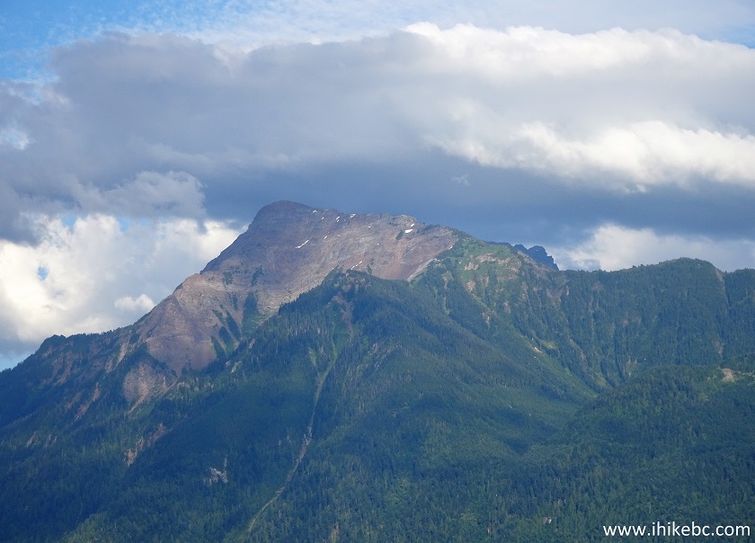
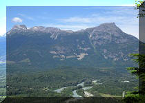
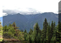
26. After Carey Road, this impressive mountain, which you could see from the beginning of the trail, starts getting closer, and looks better and better.
Chilliwack Trail - Chilliwack Dyke Hiking
27. Zooming in.
28. A farm with a view.
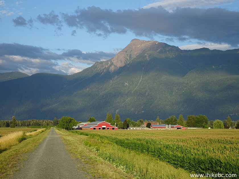
Trail in Chilliwack Area - Chilliwack Dyke Trail - Hike in British
Columbia
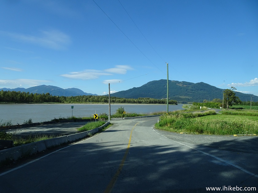
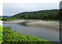
29. The next and final crossing is Gill Road at 9.7 km. After this road, Fraser River gets close to the trail, and the views become even more interesting.
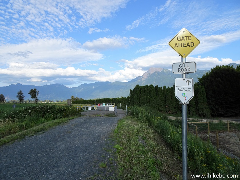
Hiking in Chilliwack - Chilliwack Dyke Trail
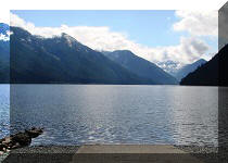
30. Here is a Fraser River access point off Chilliwack Dyke Trail.
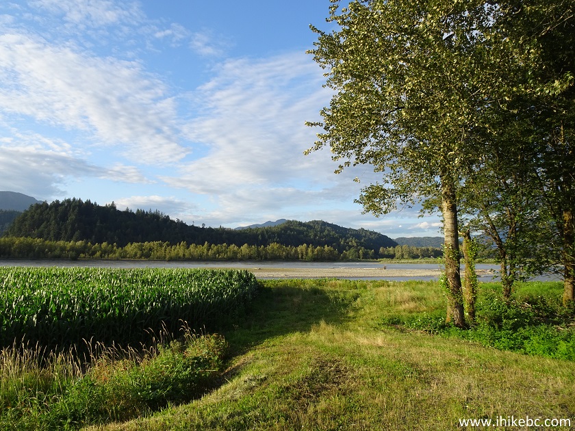
View from Chilliwack Dyke Trail Province of British
Columbia Canada
31. Neat.
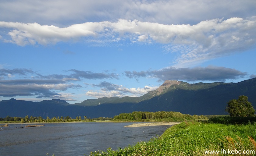
Fraser River near Chilliwack Dyke Trail
32. How about this fine tree view, just a few hundred meters later.
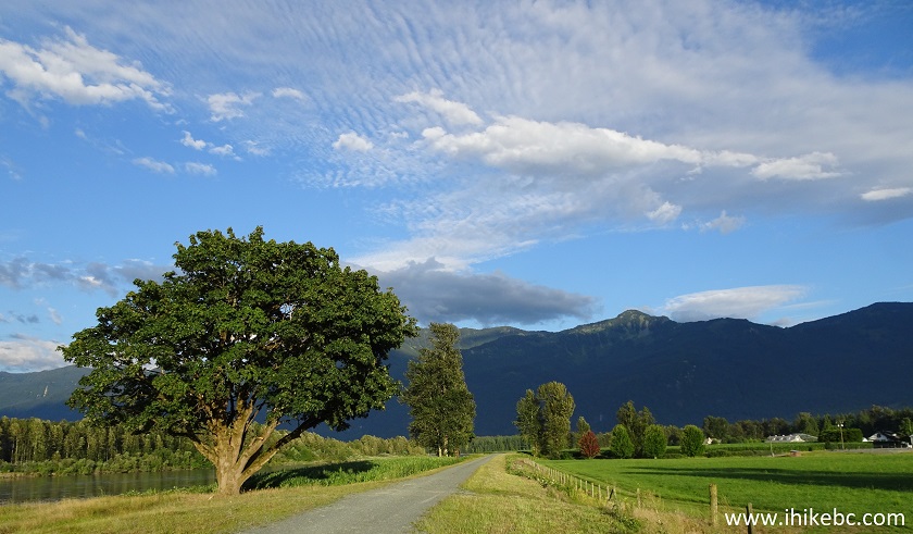
Chilliwack Dyke Trail
33. Finally, almost at the end of the trail, we can see Agassiz-Rosedale Bridge (BC Highway 9) in the distance. A slight zoom was used.
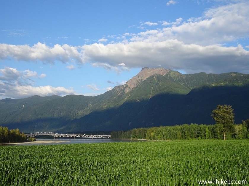
Agassiz-Rosedale Bridge
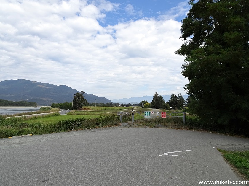
34. The end of the trail 11.9 km after the start. A few hundred meters beyond the gate is Ferry Road to Ferry Island Provincial Park (there is a small beach there). Ferry Road then leads to Rosedale Ferry Road, which, in turn, connects to BC Highway 9, if you are interested in accessing Chilliwack Dyke Trail from its Eastern end.
End of Chilliwack Dyke Trail - Hike in Fraser Valley
Chilliwack Dyke Trail offers many ways of enjoying it, but, regardless of whether you are going to walk, jog, bike, or ride a horse, the views are going to impress. Especially, when the sun is out. Highly recommended.


|
 |
Other Trips in Chilliwack BC Area:
|
|
|
|
|
|
|
|
|
|
|
|
|
|
|
|
|
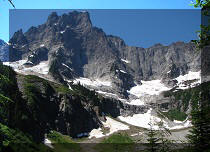
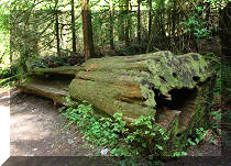
Greendrop Lake Trail
|
|
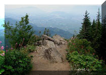
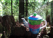
Teapot Hill Trail
|
|
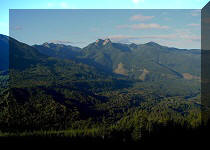
Vedder Rotary Trail
|
|
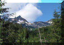
Mount Thom Trail
|
|
Flora Lake Trail 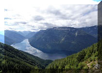 |


![]()
![]()
![]()
ihikebc.com Trip 155 - Chilliwack Dyke Trail (Near Chilliwack BC)