![]()
![]()
![]()

Trip 052 - August 2, 2011 (Tuesday)
Mount Gardner Trail Hike
Bowen Island BC Canada
Page 1 of 2
Distance From Vancouver to the Trailhead: About 20 kilometers via Lions Gate Bridge to Horseshoe Bay Ferry Terminal. Then, take a 25 minute ferry ride to Bowen Island. After that, drive for 5 minutes to the trailhead on Mount Gardner Road.
Liked: Great panoramic views of Vancouver Island and mainland Metro Vancouver. Interesting forest.
Of note: Numerous intersecting and splitting paths with somewhat inadequate signage and occasionally missing trail markings (as well as frequent wide-open forest areas with no obvious path, and every now and then misleading flagging tape) make it a difficult hike. It is easy to take a wrong turn and walk for a long time before knowing it, so allow for at least 8 hours to get to the North Summit (best views) and back, unless you know exactly how to get there. The path is mostly easy, but there are some difficult forest stretches and several steep gravel road parts. Hiking boots and poles are recommended.
Vancouver, Coast & Mountains Backroad Mapbook (2010 edition)
Coordinates: Page 10 (Gibsons)
F6-F7.
103 Hikes in Southwestern British
Columbia (2008 edition):
Related Website: Bowen Island Official Site.
Other Trips on Bowen Island: Dorman Point Trail Hike, Bowen Island Ferry Trip.
Follow @ihikebc Tweet
Mount Gardner hike leads to fantastic panoramic views, but get ready to get lost en route to the observation area. There are so many trails on that mountain, and so many splits, that getting lost is quite easy. It took us five hours and forty minutes to get to North Summit, and only one hour fifteen minutes to get back. That's the largest difference of all the hikes we have taken. We got lost three times, and spent quite some time at various intersections trying to figure out which path to take. There are good signs closer to the top, but, at the bottom, the situation is different.
"103 Hikes in Southwestern British Columbia" by Jack Bryceland has a map of Mount Gardner trails, and, most importantly, explains that the best views are from the North Summit, and not from the nearby South Summit. However, even with this map and a compass it was very difficult to get to the top. The text and photos below would give a general idea, but this is one of the hikes which requires a whole lot of time just figuring out which way to go, and even more time retracing your steps once you realized you took the wrong turn a while ago.
1. Mount Gardner Trail is located on Bowen Island, and you can check out our previous trip report for directions on how to get to Bowen Island from Vancouver. Here we are driving off from the ferry.
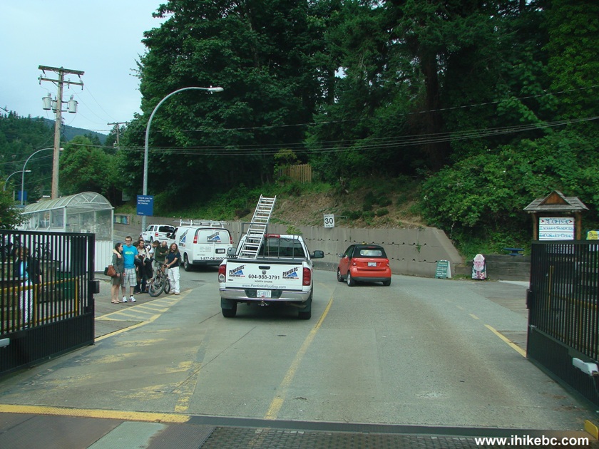
Bowen Island British Columbia Canada
2. Slightly less than a kilometer later, turn right onto Mount Gardner Road. Drive for just over 2 km after that, and turn left onto Hikers Trail Road, as shown in the photo below. This left turn is between poles 490 and 491. Poles are numbered on Bowen Island, and are located on the right side of Mount Gardner Road.
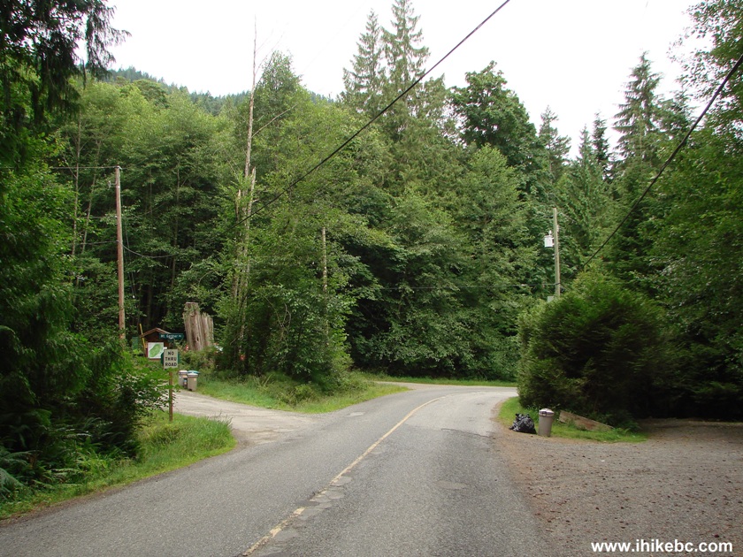
Mount Gardner Road Bowen Island Province of BC Canada
3. You can check out the map shown in the photo below, but we did not find it very useful. The map in "103 Hikes in Southwestern British Columbia" is better, though we badly needed more details while getting lost time and again.

4. Drive for another 300 meters on Hikers Road and park on the left side. There is enough space for 5-6 vehicles there.
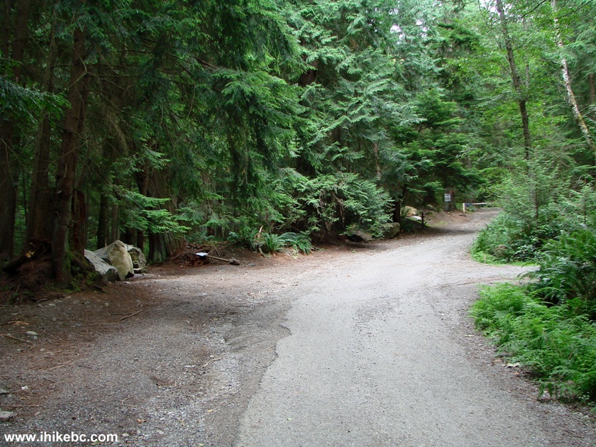
Mount Gardner Trail Parking Area - Bowen Island Hiking
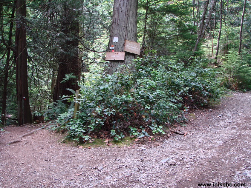
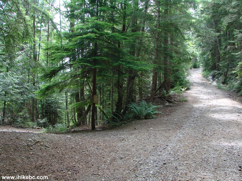
5. Walk straight and go past the gate.
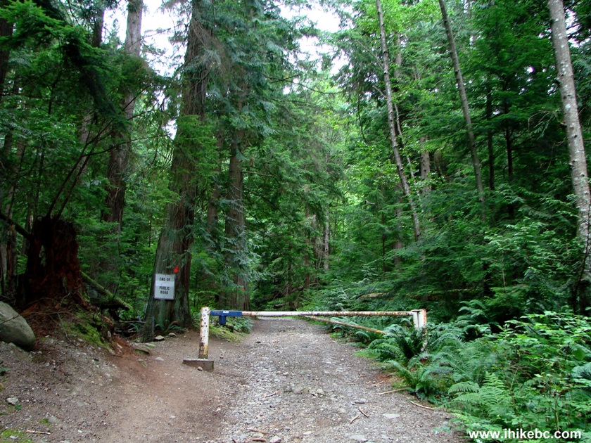
Hiking on Bowen Island - Mount Gardner Trail
6. Our confusion began shortly. The first trail split came very soon. To the left is Skid Trail, recommended in "103 Hikes in Southwestern British Columbia." To the right is a sign directing you to Hikers Road and North Mount Gardner Trail. So, we took Skid Trail, and it was marked at first, but then we could not see any more markers and did not see the trail continuation. Bizarre thing is that, on our way back, we took Skid Trail and got back without a problem.
Hike Bowen Island
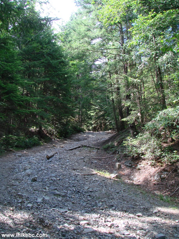
7. Alright, attempt #2. Took Hikers Road/North Mount Gardner Trail, and came to this intersection. Where to go next? No signs, no flagging tape...So, took the trail to the right, walked down a steep road for a while, and ended up on a different stretch of Mount Gardner Road! Had to go back up a steep grade.
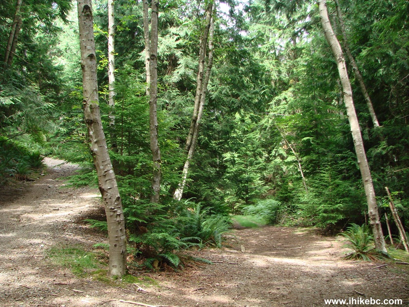
Bowen Island Hike - Mount Gardner Trail
8. Then, there was another split, either before or after (hard to remember now) looking very much like the split above. And, again, nothing to indicate which way to go. We took the right path again, and again it was wrong. So, if taking Hikers Road / North Mount Gardner Trail from the bottom of Mount Gardner, make the first two left turns. And then, when you get to this intersection, take the left turn again.
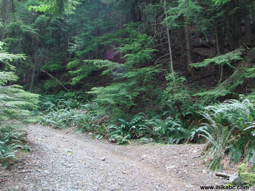
Mount Gardner Trail - Hiking on Bowen Island BC Canada
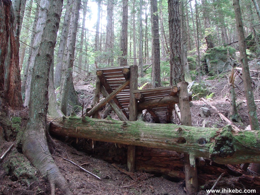
9. Soon, you would see what appears to be a hunters' perch.
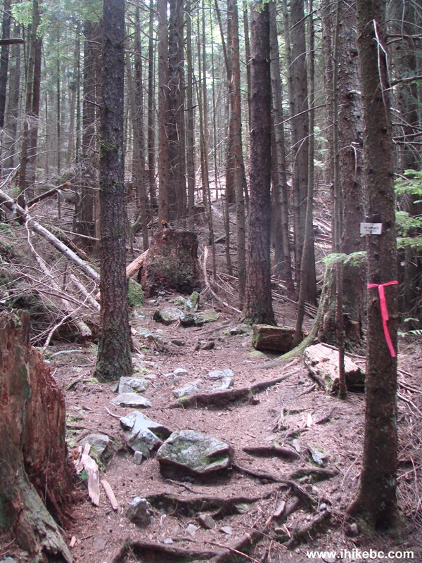
10. Then, there is another split, and this time there is a good sign (seen attached to a tree in the middle of the photo) there, so take the path to the right.
Mount Gardner Hike Bowen Island BC Canada
11. The road gets steeper. Sweat time. Ignore the sign to Headloggers Trail, which would appear shortly.
12. In about 25 minutes after taking the right path seen in photo #10, there is yet another split, where you can either go straight or turn left. The left path is signed "Mt. Gardner." You can see the white sign above the flagging tape. The sign does not specify if it is North or South summit. But we took that left path anyway.
Bowen Island Hike - Mount Gardner Trail British Columbia Canada
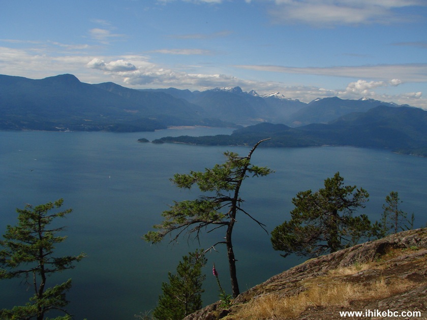
13. Eventually, we arrived to a badly overgrown summit, though one decent view of Vancouver Island and a passing BC Ferry (seen in the photo below) was still there. Then, the path started descending. However, thanks to "103 Hikes in Southwestern British Columbia," we knew that the best views were at the North summit, so we figured this was the South summit and went back to the intersection in the photo above and went straight from there.
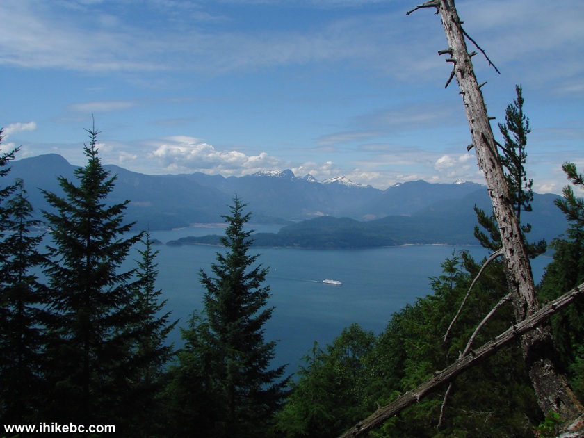
Vancouver Island seen from Mount Gardner Bowen Island British Columbia
Canada
14. Thirty minutes of walking through a forest led to an open area with wonderful views of Keats Island (on the foreground) and Sunshine Coast behind it.
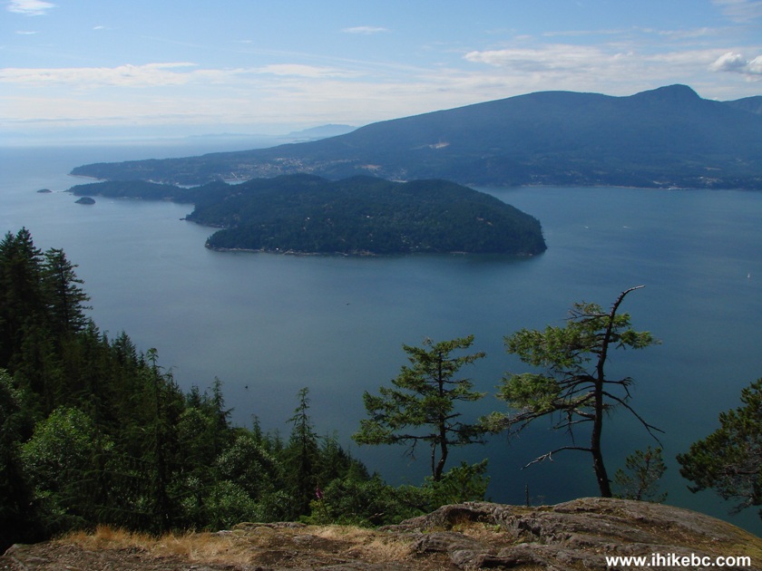
Keats Island and Sunshine Coast View from Mount Gardner Bowen Island BC
Here is our video from this viewpoint.
A ferry can be seen docked at the Langdale Terminal:
More ihikebc videos are on our YouTube Channel.
15. So, we thought THIS was the elusive North summit. But where are all the "technological debris" mentioned in "103 Hikes in Southwestern British Columbia"?
View of Vancouver Island from Mount Gardner BC Canada
16. In search of the technological debris we went further. The path was easy to follow here thanks to the flagging tape and markers.
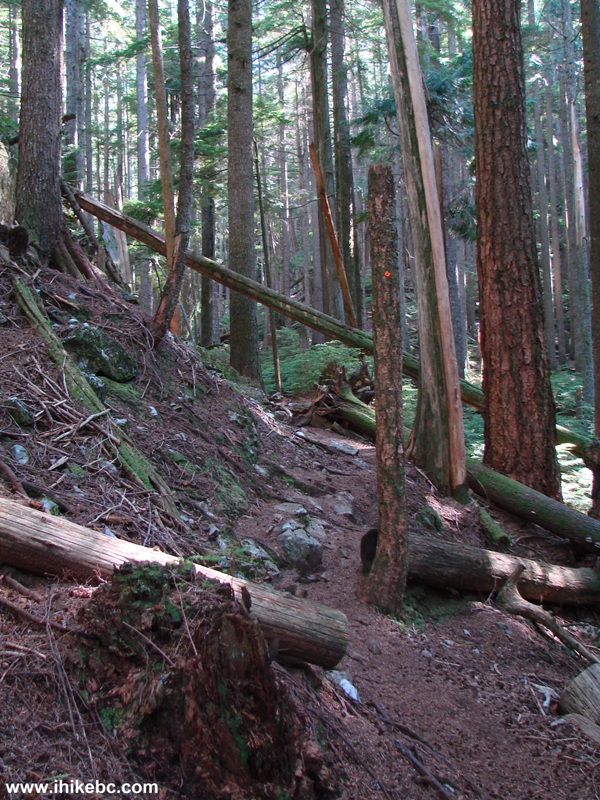
Mount Gardner Trail - Hiking on Bowen Island British Columbia Canada
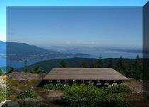
we will finally get to the North Summit.


|
 |
![]()
![]()
![]()
Follow @ihikebc Tweet
ihikebc.com Trip 052 - Mount Gardner Trail Hike (Bowen Island, BC) Page 1 of 2