Trip 234 - September 10, 2021 (Friday)
Teetering Rock Trail Hike
North of Fort Nelson, BC
Page 1 of 2
Liked:
A fairly easy trail (up to the boulder field) through a pleasant forest, colourful plants, several fine forest scenes, impressive mountain and valley views from the first viewpoint, several interesting large stones / stone formations, shade in the forest, no bugs.
Of Note:
The trail is badly overgrown at 2.0 km for about 200 meters, occasional noise from Hwy 97 until the campsite with a busted outhouse, several muddy sections, extremely dangerous boulder field at the end of the trail. Hiking poles and boots are recommended (up to the boulder field) and are essential for the boulder field and beyond. Rain/long paints and a long-sleeved shirt would be very useful as well, especially for the overgrown part of the trail. A GPS with a trail ribbon highly recommended for the boulder field, and for the overgrown part of the trail.Northern BC Backroad Mapbook (3rd edition) Trailhead Coordinates: Page 80 (Steamboat) E5.
Other Trips in Fort Nelson Area:
Dunedin Trail, Fort Nelson BC Visit, Summit Peak Trail, Summit Ridge Trail, Stone's Sheep Trail.Teetering Rock Trail is located in Northeastern British Columbia, off Highway 97, approximately 95 kilometers North of the town of Fort Nelson. It's mostly an easy-to-moderately difficult trail, until a very complicated boulder field closer to the end of the hike. This trail is named after a large rock, "teetering" on top of a mountain and appearing ready to fall down in the foreseeable future. The rock itself is not very appealing, but there are other decent rock views in that area. A very impressive First Viewpoint could be a good destination, if you want to have a shorter hike.
Teetering Rock Trail is about 12 km long one-way, and has four distinctive stretches. Trailhead to First Viewpoint - 4.75 km. First Viewpoint to Camping Area - 3.0 km. Camping Area to Boulder Field - 2.7 km. Boulder Field to end of trail - about 1.2 km. The trail is mostly easy to follow, though a 200-meter-long stretch at around the 2.0 km mark is badly overgrown, and a GPS with a trail ribbon might prove very helpful.
Today, we made it all the way to the boulder field, and even went forward for about 300 meters, when we realized that this field is a disaster waiting to happen, turned around, went back, and then the disaster did happen before we cleared from the boulder field. We stumbled, slipped from a stone, and fell down head first for about 2 - 2.5 meters, landed on our left hand with a heavy backpack pushing from above, and briefly dislocated the shoulder. It popped back in by itself within a minute, but it sure was not a pleasant feeling standing in the middle of nowhere, surrounded by huge stones, with a sharp shoulder pain, and figuring out what to do next. The SOS button in our Inreach satellite device was pretty close to being used for the first time, but we managed to walk out, and headed to Fort Nelson hospital, where it was determined that it wasn't all that bad. A serious shoulder sprain all it was, and we lived to hike another day.
1. We are Northbound on BC Highway 97, about 87 kilometers from Fort Nelson Visitor Centre, located on the North side of Fort Nelson.
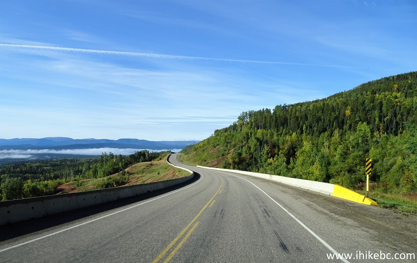
BC Highway 97 North of Fort Nelson British Columbia Canada
2. At 94.2 km, approaching Teetering Rock Trail access road turnoff.
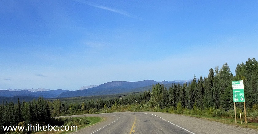
BC Highway 97 Near Teetering Rock Trail Access Road Turnoff
3. At 94.4 km, turn right from Highway 97 onto Teetering Rock Trail access road. Coordinates:
N 58⁰40.217' W 123⁰55.067'. Elevation: 800 meters.
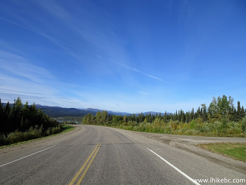
BC Highway 97 at Teetering Rock Trail Access Road Turnoff
4. Proceed for 300 meters to reach the trailhead.
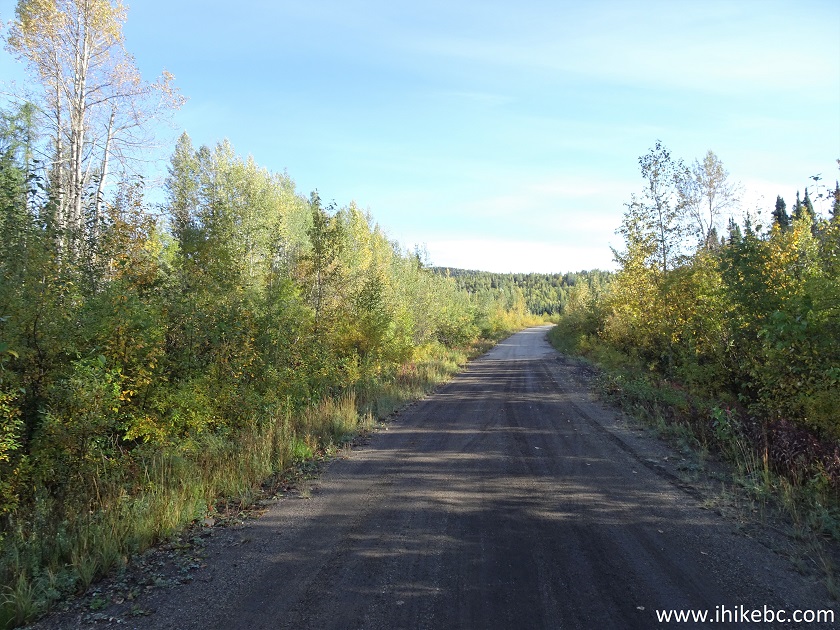
Teetering Rock Trail Access Road North of Fort Nelson British Columbia
Canada
5. The trailhead is just to the left of the information board seen straight ahead. Plenty of parking around the corner. Coordinates:
N 58⁰40.372' W 123⁰54.866'. Elevation: 816 meters.
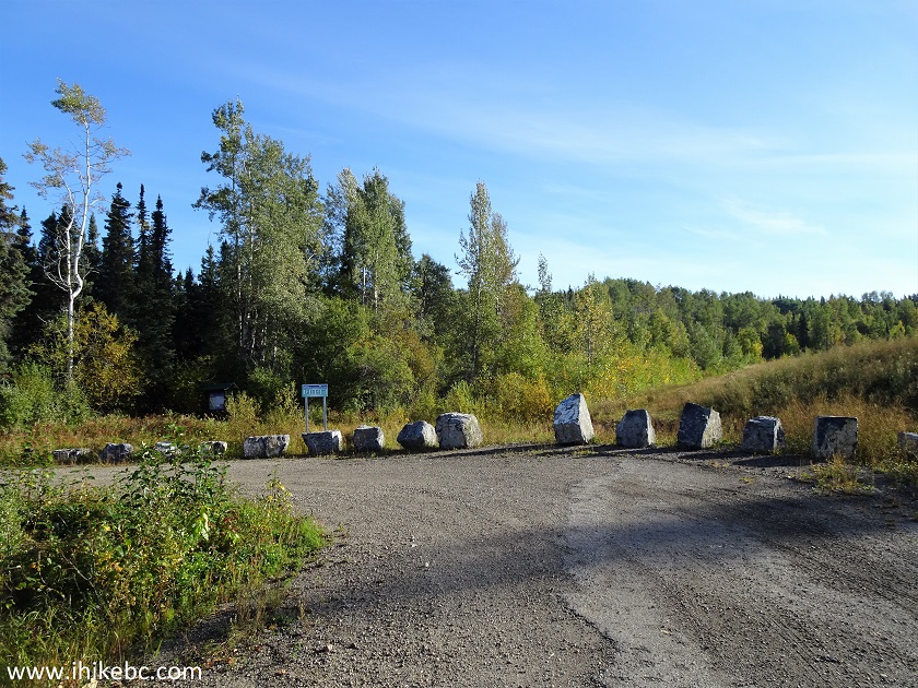
Teetering Rock Trail Parking Area
6. Here is the information board.
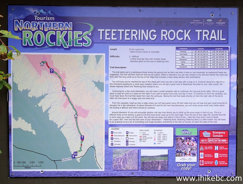
Teetering Rock Trail Information Board
7. Note that there is no 911 service in this area. Here are the emergency numbers to call (if there is a cell signal, or you have a satellite phone, of course. Inreach is your friend in all other circumstances).
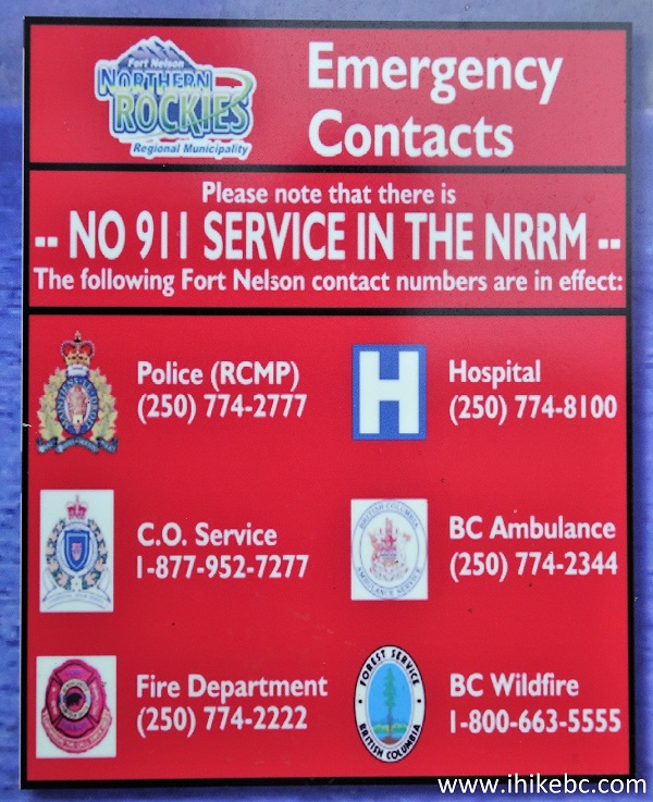
Northern Rockies Regional Municipality Emergency Numbers
8. Teetering Rock Trail 200 meters from the trailhead (all distances are based on a GPS odometer and are approximate). It's a bit overgrown at the beginning, but not nearly as bad as at the 2.0 km mark. Rain/long pants and a long-sleeved shirt would be very useful on this trail.
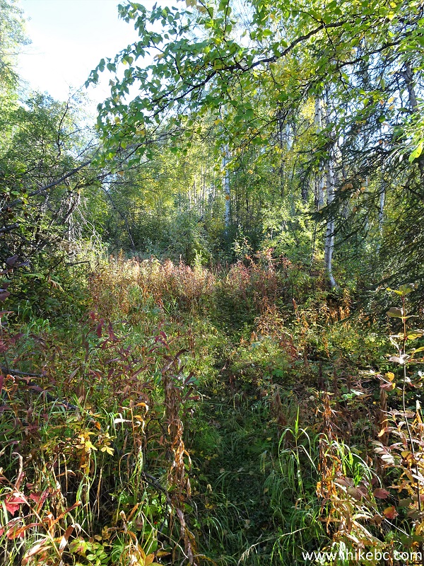
Teetering Rock Trail North of Fort Nelson British Columbia Canada
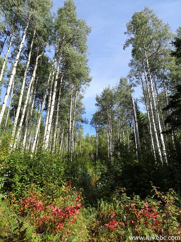
9. Teetering Rock Trail features many colourful plants, as seen at the 1.9 km mark.
Hiking in Fort Nelson Area - Teetering Rock Trail
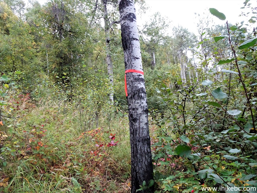
10. And here comes the mess, just where the tree is in the middle of the photograph, at 2.0 km from the trailhead. There was some flagging tape, and we added a bit more, but it sure was a challenging 200-meter-long stretch, with a lot of time spent trying to figure out where to go next, even with a mapped trail in the GPS.
Teetering Rock Trail in Fort Nelson British Columbia Area
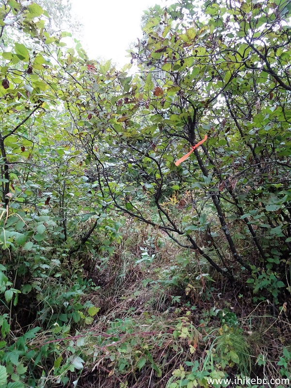
11. The mess 100 meters later. It's very badly overgrown out there, and the path disappears.
Overgrown Teetering Rock Trail
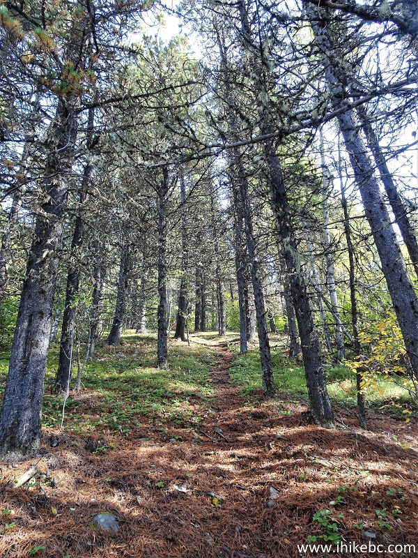
12. Then, just like that, the trail is easy to follow again. At 2.45 km here.
Teetering Rock Trail British Columbia Canada
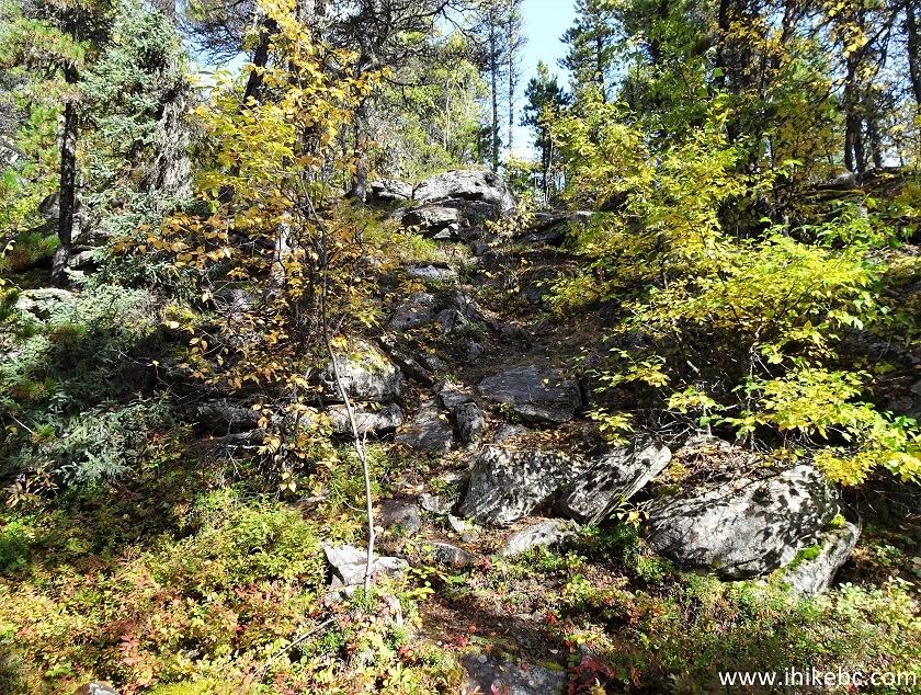
13. At 3.5 km, the trail goes up this set of stones.
Teetering Rock Hike
14. A fine view just to the right of where we are in the photo above.

British Columbia Hiking
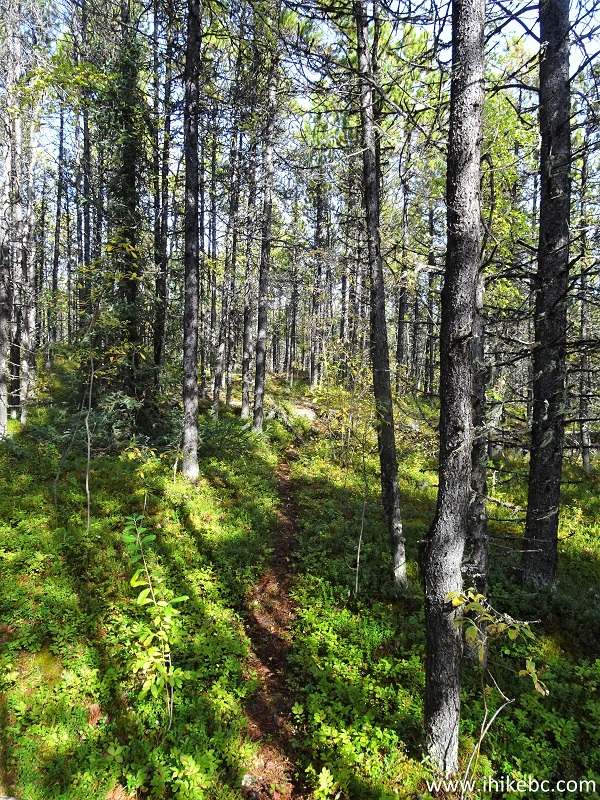
15. It's a pleasant trail, quite diverse. You won't get bored (for long). At 3.7 km here.
Fort Nelson Hiking - Teetering Rock Trail
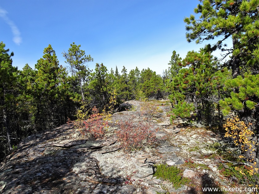
16. At about 4.2 km, a 500-meter-long easy ridge walk begins.
Teetering Rock Trail in Northern Rockies Region of British Columbia
Canada
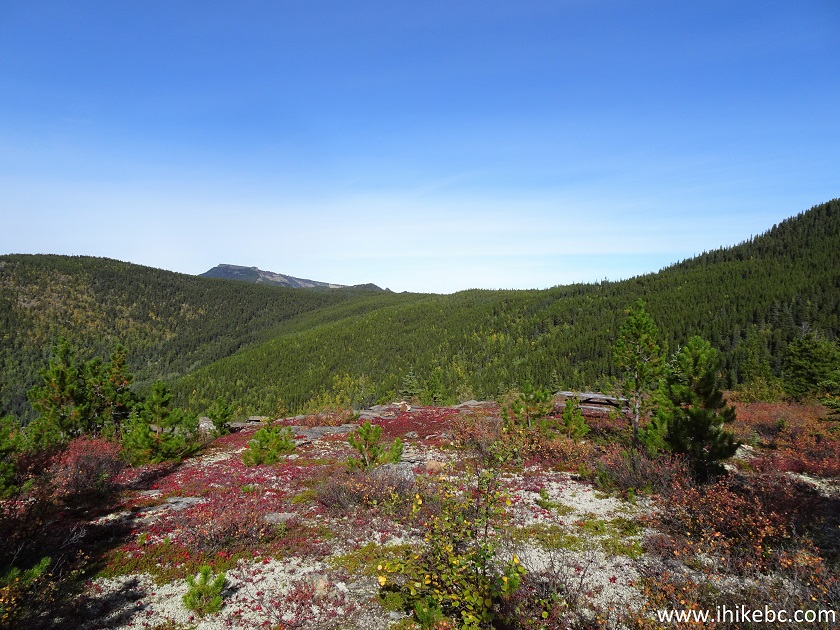
17. At 4.75 km, we arrived at the first viewpoint. A picnic table is seen straight ahead and a bit to the right. Coordinates:
N 58⁰42.256' W 123⁰54.870'. Elevation: 1,218 meters.
Teetering Rock Trail First Viewpoint
18-20. The views are very impressive here, and this could be a good end of a fairly short hike. Left to right.
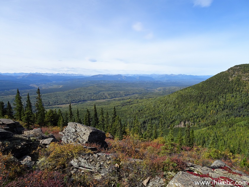
View from Teetering Rock Trail First Viewpoint
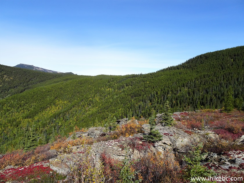
Teetering Rock Trail View North of Fort Nelson BC Canada
21. Now a panorama.
Here is our video of the views from this location.
More ihikebc videos are on our YouTube Channel.
Our Teetering Rock Trail Hike trip report Continues on Page 2.
|
|
|
ihikebc.com Trip 234 - Teetering Rock Trail Hike (North of Fort Nelson BC) Page 1 of 2


