![]()
![]()
![]()

Trip 161 - July 15, 2019 (Monday)
Rainbow Range Trail Hike
Off BC Highway 20 in Tweedsmuir Provincial Park - South
Page 1 of 2
Liked: Easy access to alpine, numerous excellent mountain and lake/pond views.
Of Note: The trail goes through unstable burned trees for the first 3 kilometers, many brooks in sub-alpine, some wet and muddy areas in sub-alpine, many mosquitoes in sub-alpine, loose rocks and sand on mountains in the alpine. Hiking boots and poles are recommended in the forest, highly recommended in sub-alpine, and are essential in the alpine. The alpine is vast, so a GPS would be very helpful.
Cariboo Chilcotin Coast BC Backroad Mapbook (4th edition) Trailhead Coordinates: Page 37 (South Tweedsmuir Prov Park) G6.
Related Website: Tweedsmuir Provincial Park South - BC Parks Official Site.
Related Trip Report: BC Highway 20 (Williams Lake to Bella Coola).
Tweedsmuir Provincial Park is located in the Central Coast part of British Columbia, and is simply enormous. Highway 20 runs through this park, and provides an easy access to some of its trails. Rainbow Range Trail allows for a quick access to the alpine area, where the hiking possibilities are nearly endless. We hiked for about 33 kilometers in total today, and saw many fine views.
1. We are Westbound on Highway 20, about 35 kilometers past the town of Anahim Lake, and are entering Tweedsmuir Provincial Park.
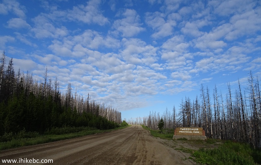
BC Highway 20 West at Tweedsmuir Provincial Park Entrance
2-3. Just over 6 kilometers later, a right turn would lead to a short access road to Rainbow Range parking area. Coordinates: N 52’31’965 W 125’48’805. Elevation: 1,487 meters.
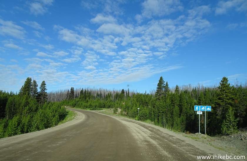
BC Highway 20 West at Rainbow Range Trail Access Road Turnoff
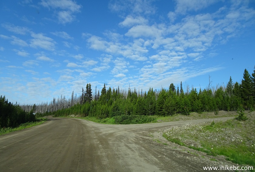
4. Several hundred meters later, the parking lot is on the right side. Coordinates: N 52⁰32.099' W 125⁰48.889'. Elevation: 1,502 meters.
Rainbow Range Trail Parking Area Tweedsmuir Provincial Park British
Columbia Canada
5. Information board at the parking lot has a map of the local trails. We have placed a red square over the Rainbow Range Trail, and a blue arrow indicates the approximate direction of our travel once we got to sub-alpine. We somewhat paralleled Octopus Lake Trail during our hike.
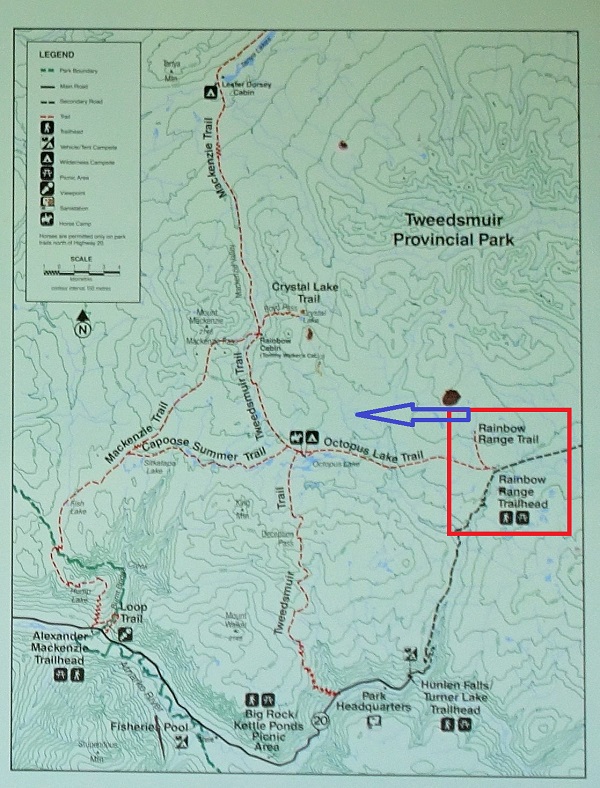
Tweedsmuir Provincial Park Trails Map
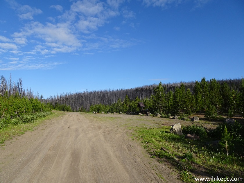
6. Walk for about a hundred meters past the parking lot - the trailhead is just behind the gate.
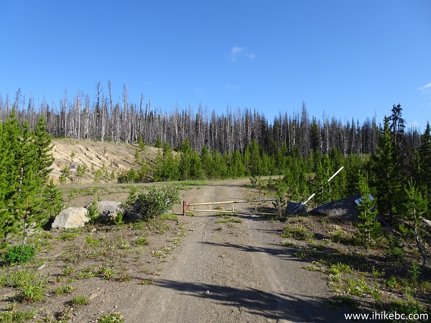
Tweedsmuir Provincial Park British Columbia Canada
7. And here is the trailhead, on the left side. Rainbow Range, Octopus Lake, and Crystal Lake trails all start here.
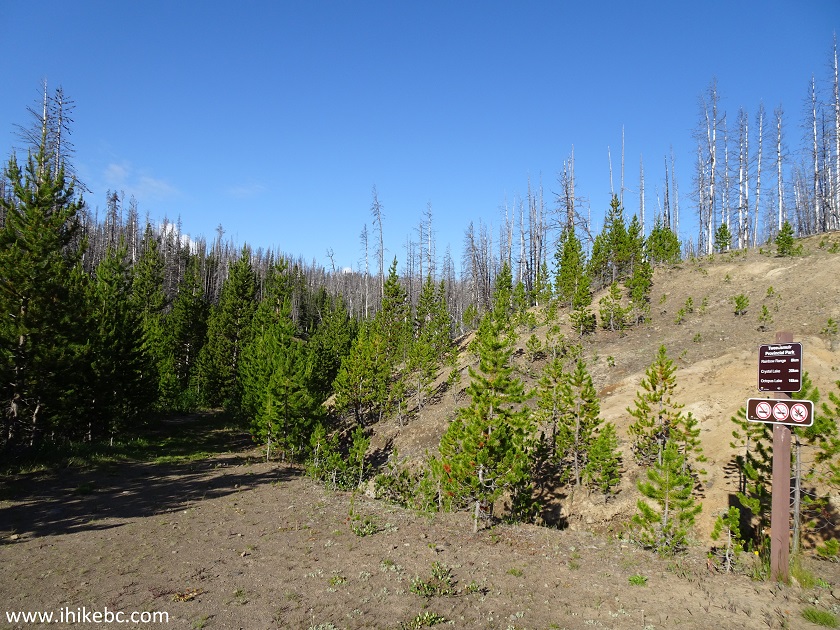
Rainbow Range Trailhead, Octopus Lake Trailhead, Crystal Lake Trailhead
8. In just over 300 meters, Rainbow Range Trail is to the right, and the other two trails keep going straight.
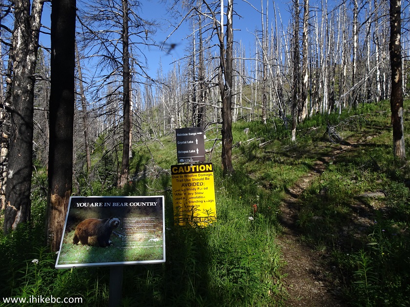
BC Hiking - Tweedsmuir Provincial Park Hike
9. For the first 2.8 kilometers, Rainbow Range Trail goes through a burned forest.
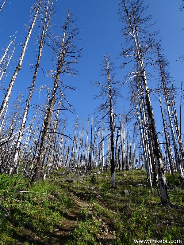
Hiking in BC - Rainbow Range Trail Tweedsmuir Provincial Park
10. Be careful, as the burned trees are quite unstable.
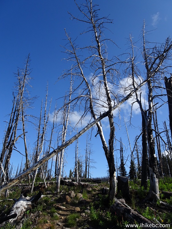
Burned Trees in Tweedsmuir Provincial Park British Columbia Canada
11. Eventually, the burned forest ends, and it's a normal hike in the woods. The elevation change is quite gentle, with no overly steep stretches.
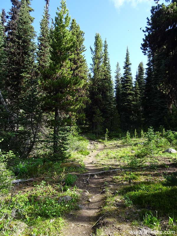
British Columbia Hiking - Rainbow Range Trail Tweedsmuir Provincial Park
Canada
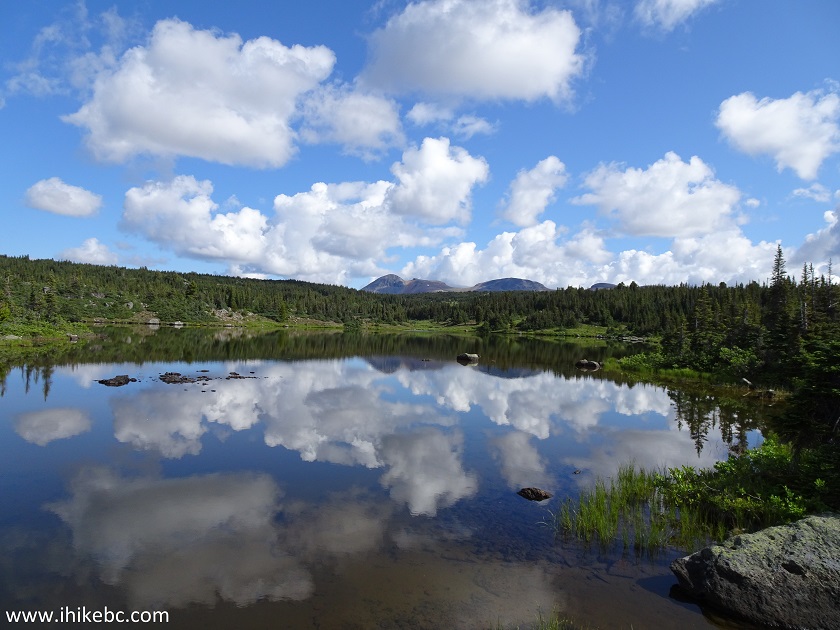
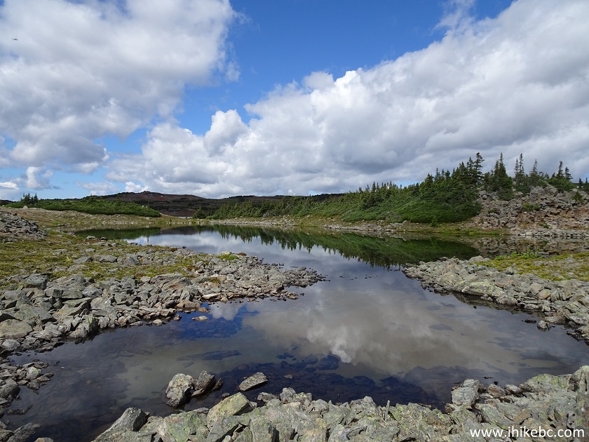
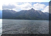
12. As you are hiking through the forest, there are two picturesque lakes to be viewed. Here is the first one, at about the 3 km mark of the hike.
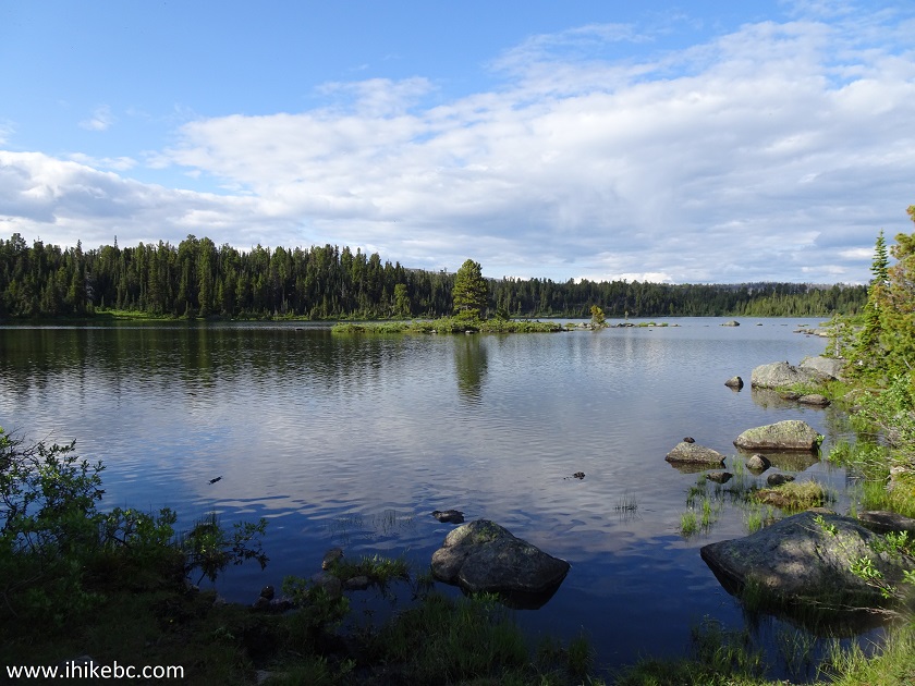
Lake by Rainbow Range Trail in Tweedsmuir Provincial Park - BC Hike
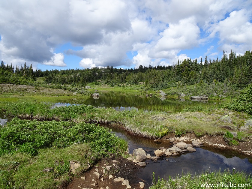
13. The second lake arrives 1.2 kilometers later.
Rainbow Range Trail Lake View - BC Hiking
14. It's a very pleasant-looking path.
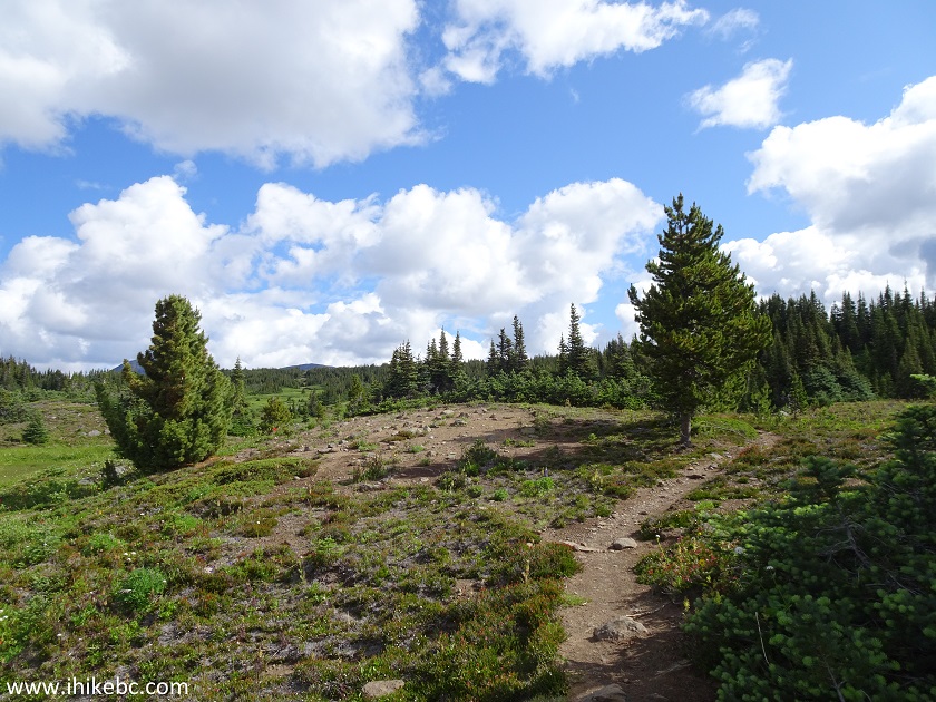
Hiking in Tweedsmuir Provincial Park - Rainbow Range Trail
15. Some stone-hopping is required, but nothing too complicated.
Rainbow Range Hike - Trail in Tweedsmuir Provincial Park
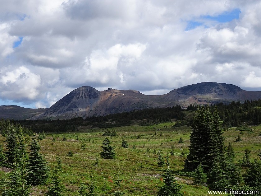
16. Rainbow Range Trail ends 5.6 km after the start, and you enter the sub-alpine. Fine mountain views appear right away.
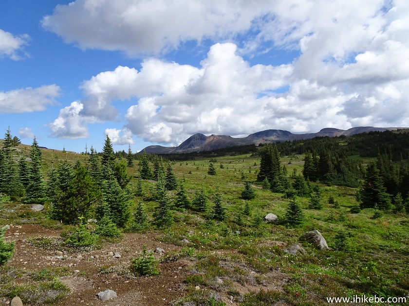
Tweedsmuir Provincial Park Hiking
17. Now with a slight zoom.
Mountains in Tweedsmuir Provincial Park BC Canada
18. The path is still obvious for the next 2-3 kilometers, but then all but disappears, so take note of this large cairn, located 300 meters from the end of Rainbow Range Trail. Coordinates: N 52⁰34.252' W 125⁰50.114'. Elevation: 1,766 meters (264 meters elevation gain from the parking lot).
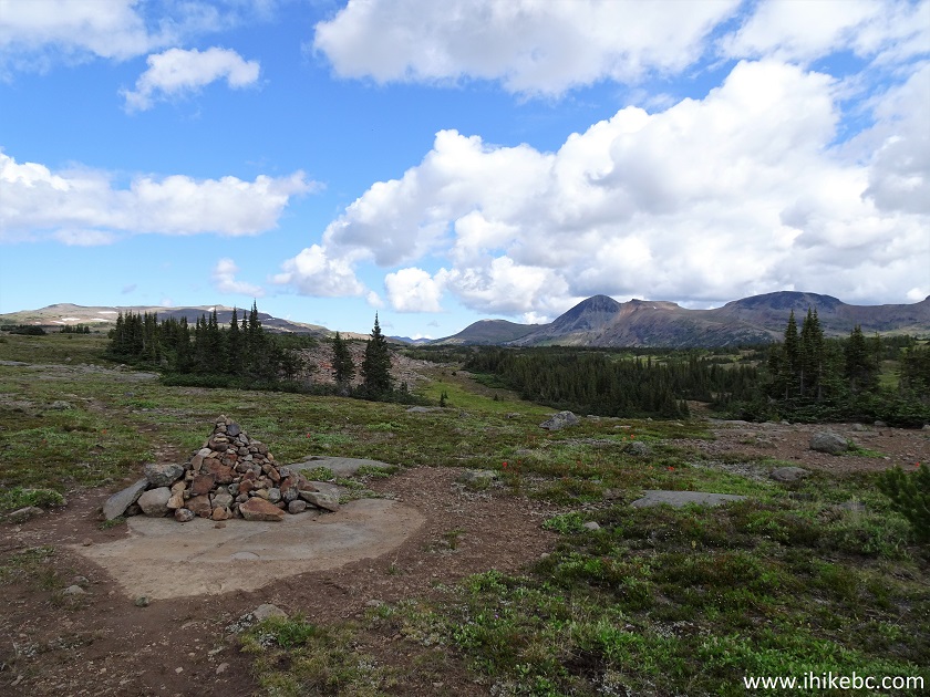
Cairn in Tweedsmuir Provincial Park - hiking in British Columbia
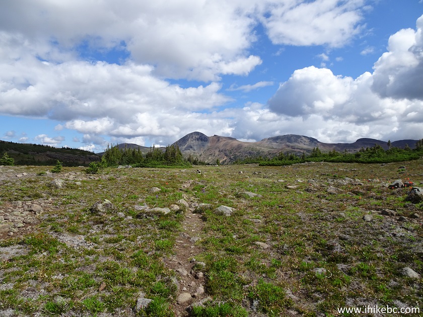
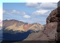
19. We planned on climbing one of the mountains seen in the photo above, so started heading towards them. Very good views as we hike.
Tweedsmuir Provincial Park
20. The path was still here, but not for much longer, so a GPS proved very useful.
BC Hiking in Tweedsmuir Provincial Park
Our Rainbow Range hike report Continues on Page 2.


|
 |
![]()
![]()
![]()
ihikebc.com Trip 161 - Rainbow Range Trail Hike (Tweedsmuir Provincial Park - South) Page 1 of 2