![]()
![]()
![]()

Trip 283 - June 7, 2023 (Wednesday)
Town of Sidney BC Visit
Vancouver Island
Liked: A large free parking lot by the visitor centre, a picture-perfect seawall, Beacon Park with statues, beach access, Fish Market building exterior, lots of greenery, several friendly locals.
Of Note: No shade on the seawall, low flying aircraft above the parking lot.
Related Websites: Town of Sidney Official Website, Wiki - Sidney, BC.
Vancouver Island, Victoria & Gulf Islands Backroad Mapbook (9th edition) Town of Sidney Coordinates: Page 11 (Duncan) G6.
Other Trips in Sidney BC Area: Sidney Island visit, Island View Beach Park visit.
Follow @ihikebc TweetThe town of Sidney is a lovely small town just off Highway 17 on the way from Swartz Bay ferry terminal to Victoria. It has a neat seawall and an interesting main street (Beacon Avenue). Today, we walked down Beacon Avenue, checked out the seawall, and then walked a bit around the residential part of Sidney, which has a beach access at the foot of Amherst Avenue.
1. Here is a Google Maps location of the Town of Sidney on Vancouver Island.
2. Here is a map of Saanich Peninsula. We have indicated the town of Sidney with a red square. Swartz Bay ferry terminal is at the top of the map, and the city of Victoria at the bottom.
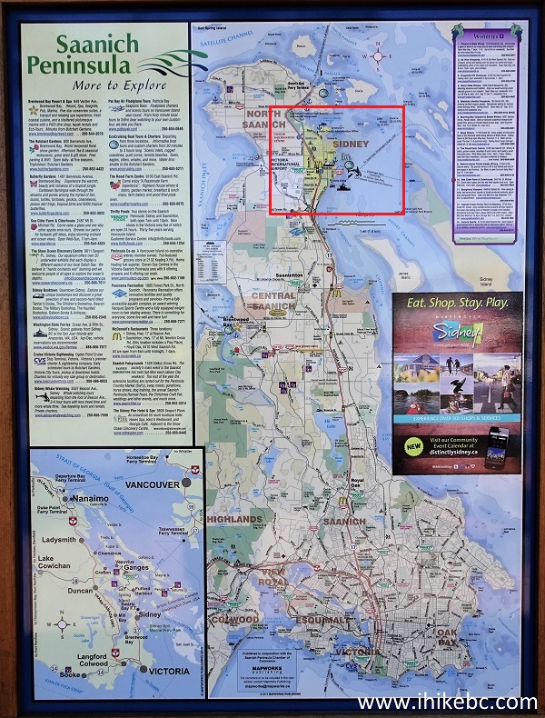
Map of Saanich Peninsula
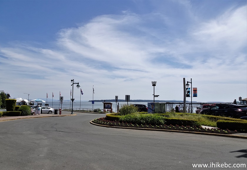
3. And here is a general map of the town of Sidney.
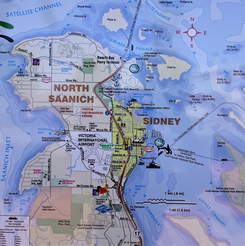
North Saanich and Town of Sidney BC Map
4. Finally, the map of downtown Sidney. We have indicated as follows: red square - a big free parking lot by the info centre, red arrows - the direction of our travel down Beacon Avenue, yellow square - Beacon Park, yellow arrows - the seawall. Highway 17 from Swartz Bay to Victoria is seen just to the left of the red square as two thin red lines.
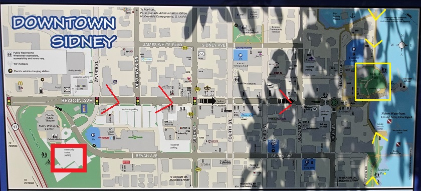
Downtown Sidney BC Map
5. The town of Sidney sign near the info centre.
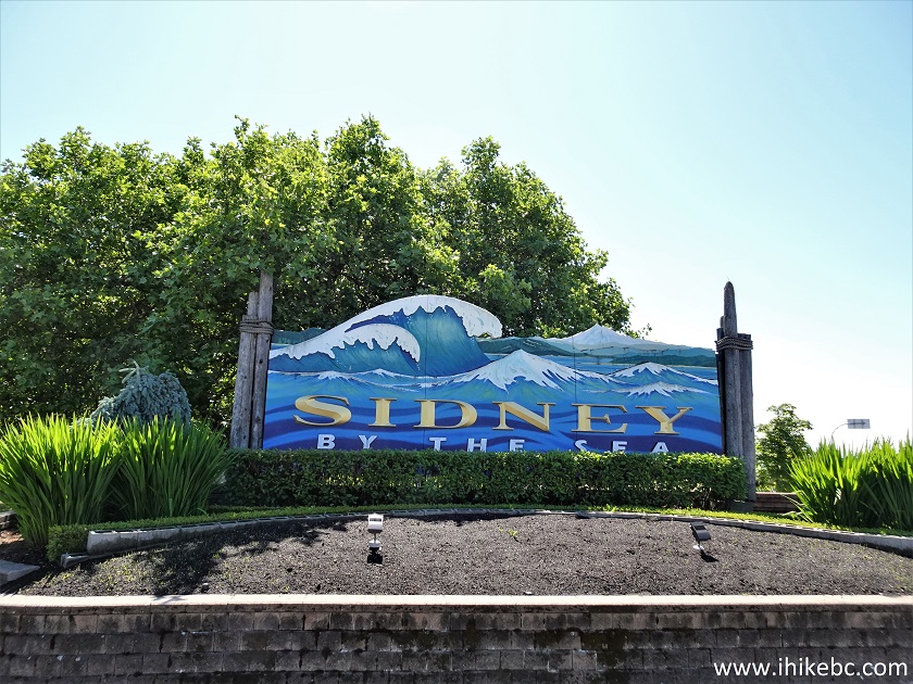
Sidney BC Town Sign
6. Here is that big free parking lot. Coordinates: N 48⁰38.846' W 123⁰24.309'. Elevation: 10 meters.
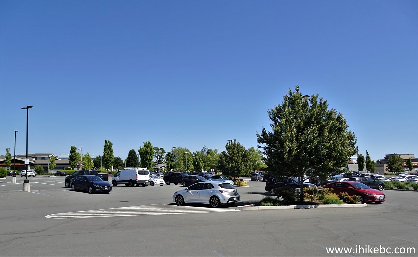
Free parking lot Sidney BC Canada
7. The parking lot has some blue lines-marked stalls, and a sign states as shown. Unclear if overnight parking is allowed in all other stalls, which would be neat. Perhaps, white lines-marked stalls are designated for the community centre, in which case overnight parking here would not be possible - check with the info centre staff for clarification, if needed.
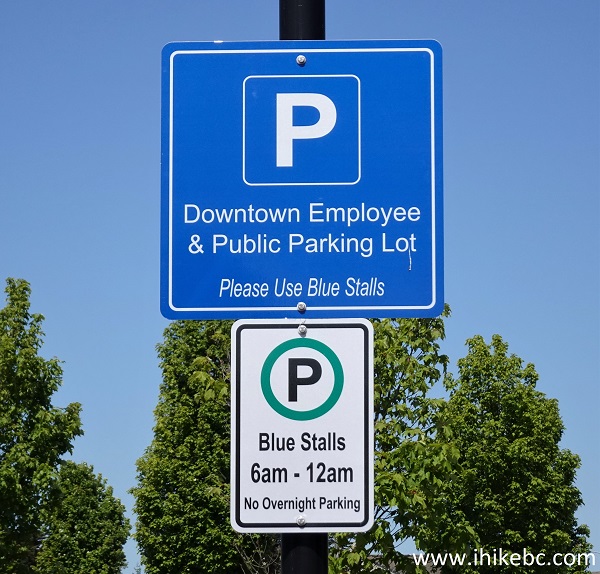
Parking lot sign Sidney Vancouver Island British Columbia
8. Near the parking lot and very close to the info centre, right in front of Mary Winspear Community Centre, is a cenotaph with this statue.
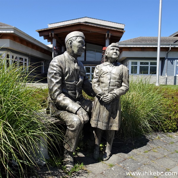
Sidney BC Cenotaph Statue
9. We are beginning our walk down Sidney's main street, Beacon Avenue, which runs for about 7 blocks. Here we are on the corner of Beacon Avenue and 7th Street.
![]()
Beacon Avenue at 7th Avenue Sidney BC Canada
10. A beacon just off Beacon Avenue.
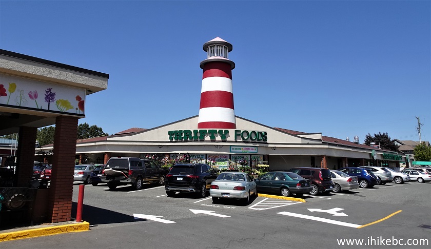
Beacon Monument - Thrifty Foods - Sidney BC
11. People sitting at a table on Beacon Avenue in Sidney, BC.
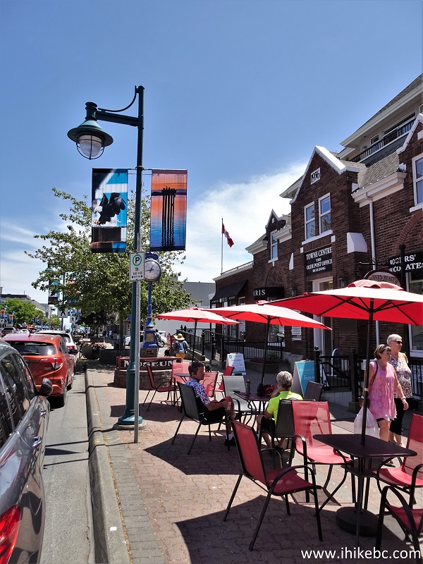
People in Sidney BC
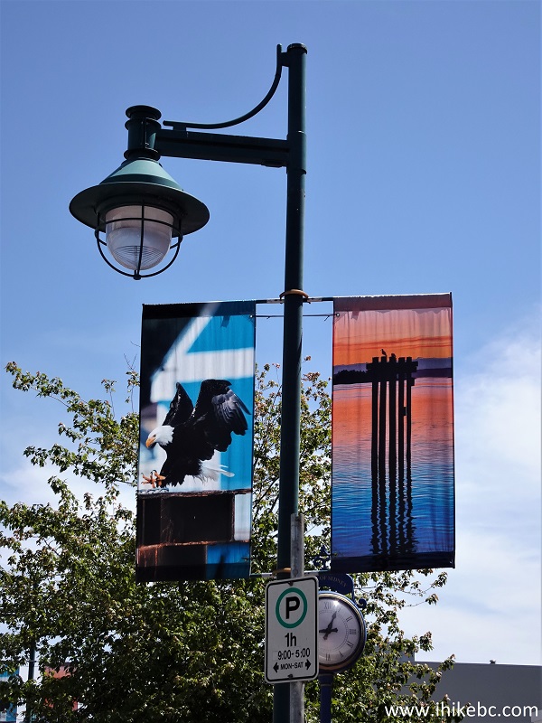
12. Sidney's street banners are all the same, just these two, but they are fairly good.
Sidney BC Street Banners
13. Still on Beacon Avenue.
Beacon Avenue - Sidney - British Columbia - Canada
14. Sidney has a few more "iron people" around town. Here's one.
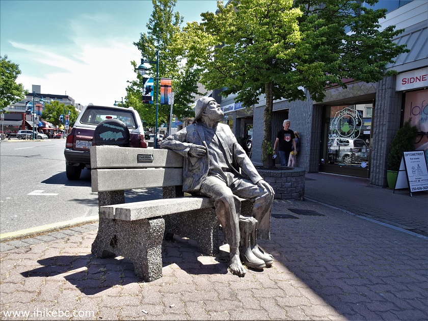
Iron Man Statue Sidney BC
15. Now we are by Beacon Park, located at the end of Beacon Avenue.
Beacon Avenue - Sidney - British Columbia
16. Beacon Park sign.
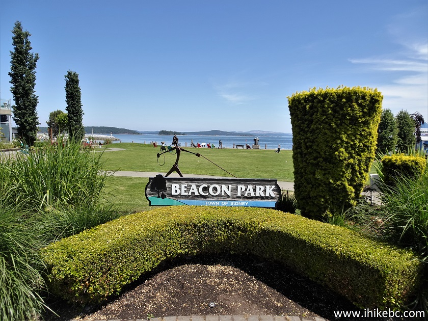
Sidney BC Beacon Park Sign
17. It's a very pleasant park, pretty much in the middle of the seawall, which goes for about 500 meters in each direction from here.
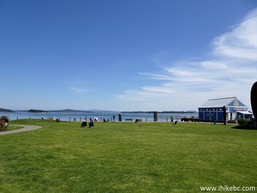
Sidney Beacon Park
18-19. The exterior of Sidney Fish Market is sure pleasant to look at.
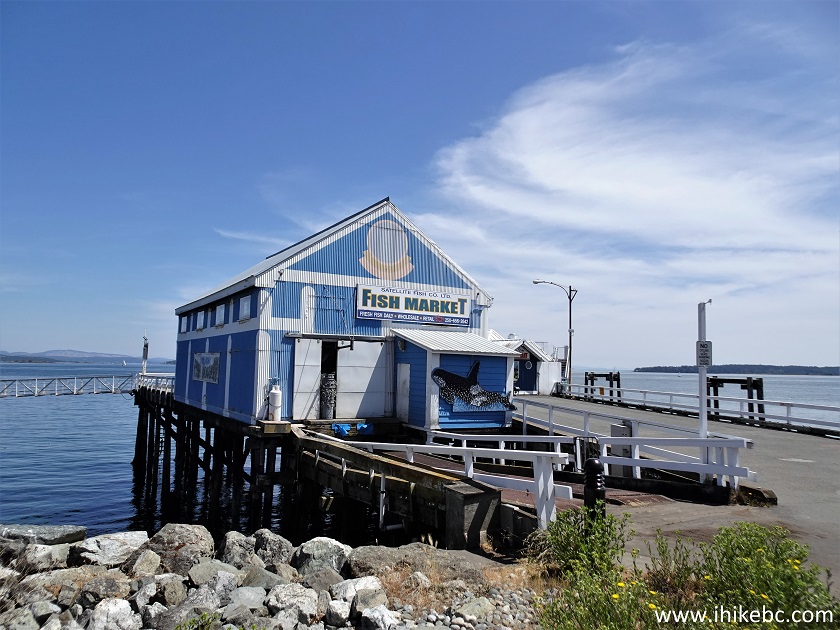
Sidney BC Fish Market Building
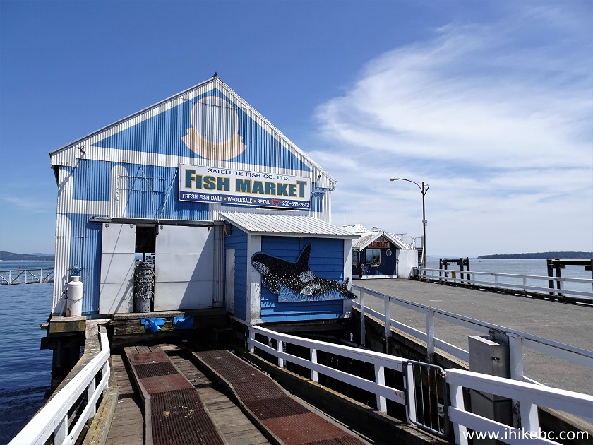
Sidney Fish Market
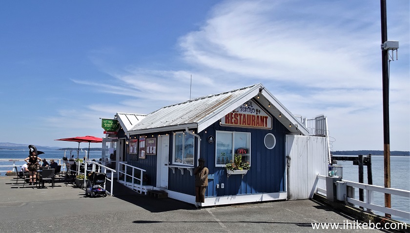
20. Pier Bistro restaurant next to the Fish Market.
Pier Bistro Restaurant Sidney BC Canada
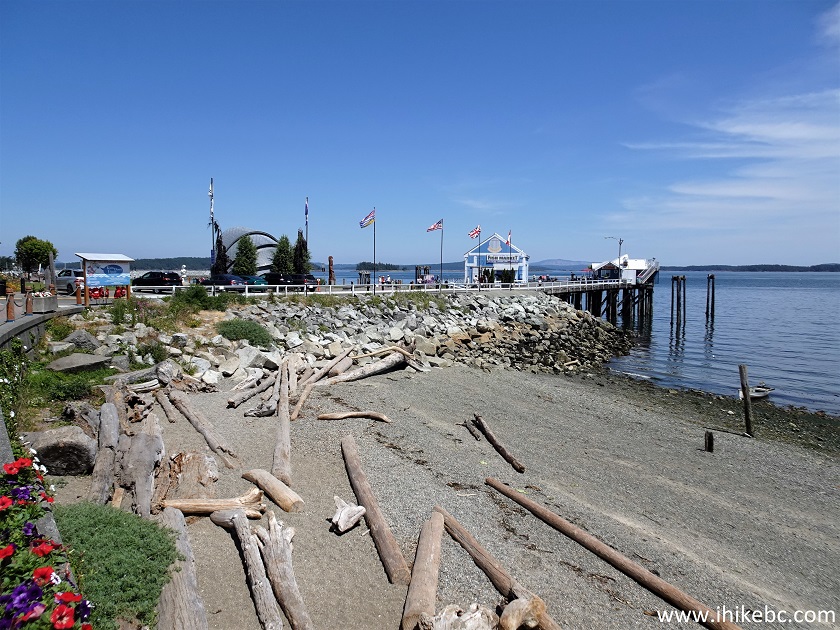
21. We are now walking down the seawall and turned to look back at the Fish Market and the restaurant.
Sidney BC
22-23. A bit further is this diver art piece.
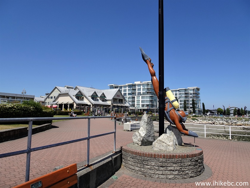
Diver art piece Sidney BC Seawall
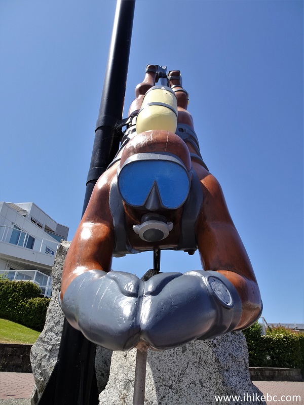
Sidney BC diver art piece
24. Moving on, here is Sidney fishing pier.
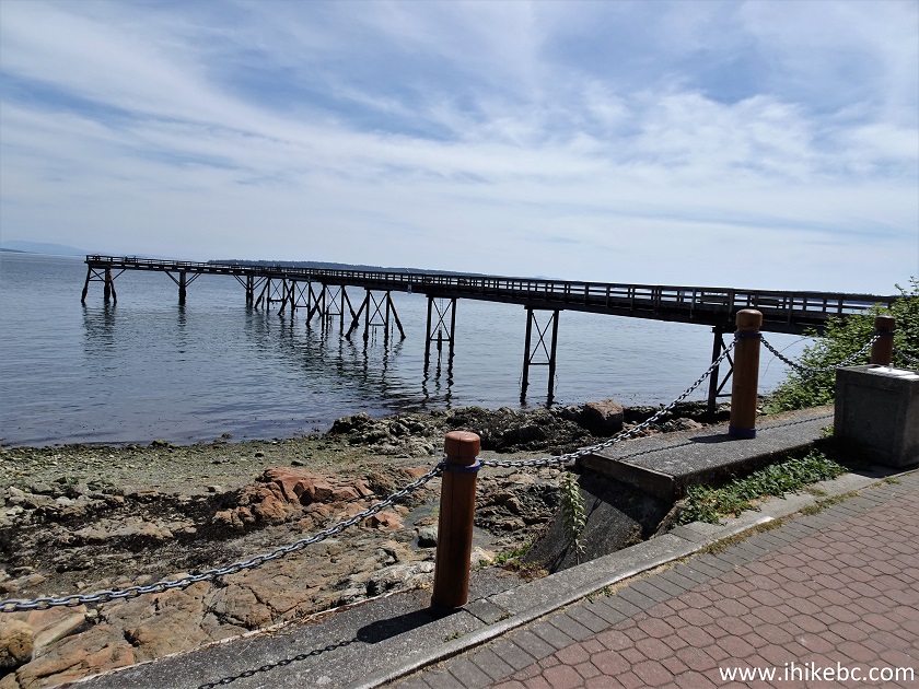
Sidney BC fishing pier
25. It's quite long indeed.
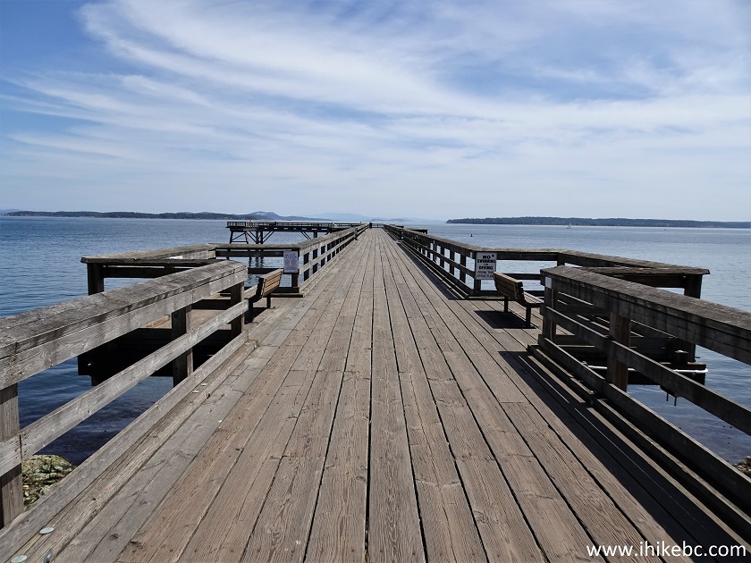
Fishing Pier Sidney British Columbia Canada
26. A few people were apparently crabbing from the pier.
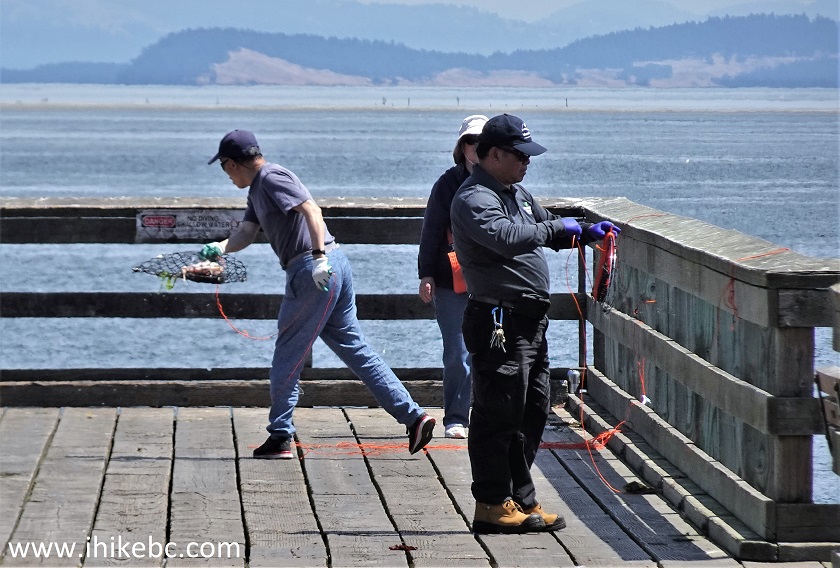
Crabbing in Sidney BC
27. This is where the seawall ends on the right side (if facing the ocean).
Sidney BC Seawall
28. We have turned around, and what a fine view!
Seawall Sidney BC
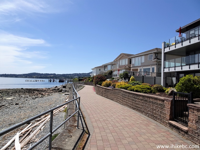
29. We are now a few hundred meters past Beacon Park while exploring the remainder of the seawall.
Sidney Seawall British Columbia Canada
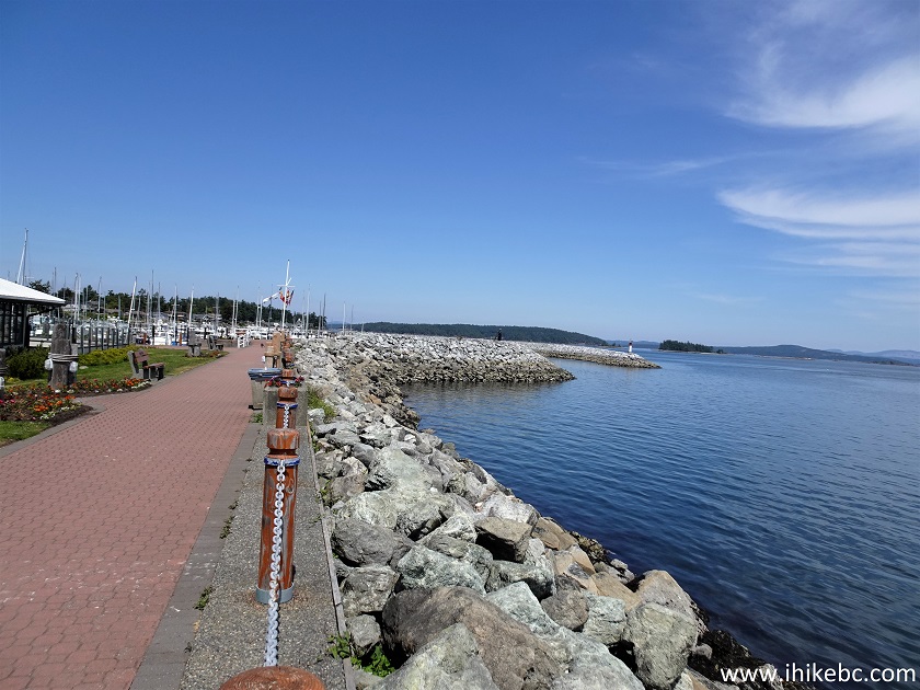
30-31. Here is Port Sidney Marina. This is where you take a seasonal ferry to Sidney Island (Sidney Spit).
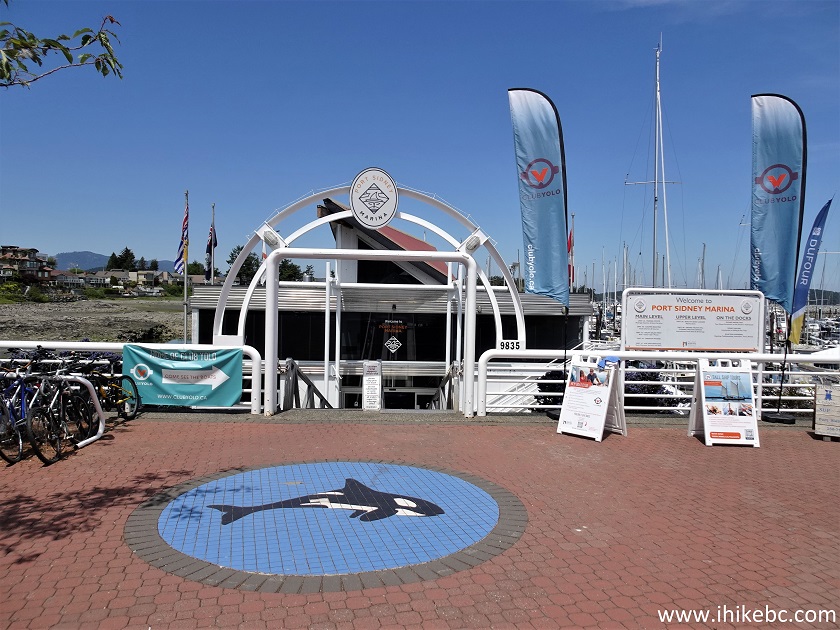
Port Sidney Marina
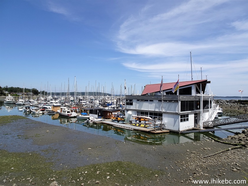
Port Sidney Marina on Vancouver Island BC
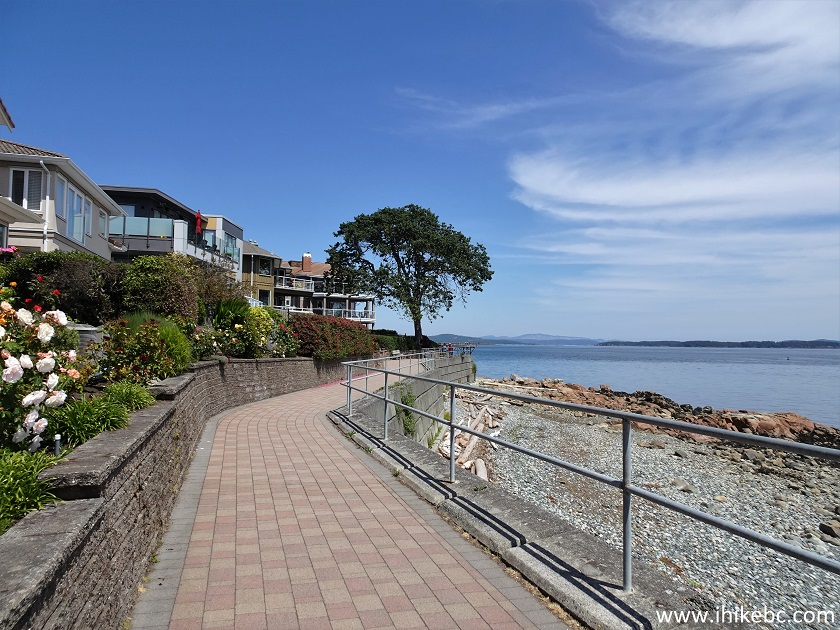
32. A very green spot on Sidney seawall.
Sidney British Columbia Seawall
33. And this is the seawall's other end, at Third Street near Henry Avenue.
Sidney BC
34. Sidney's Third Street.
Third Street - Sidney - British Columbia - Canada
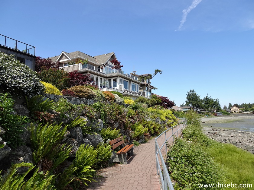
35. We then walked down Third Street for a bit, and found beach access at the foot of Amherst Avenue.
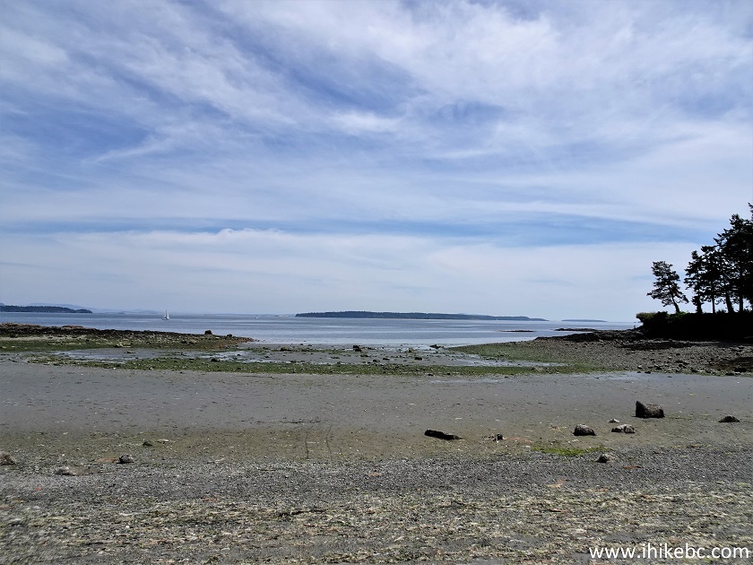
Sidney BC Beach
Sidney, BC is a lovely little town to visit. Highly recommended.


|
 |
![]()
![]()
![]()
Follow @ihikebc Tweet
ihikebc.com Trip 283 - Town of Sidney BC Visit (Vancouver Island)