![]()
![]()
![]()

Trip 086 - July 1, 2015 (Wednesday)
Happy Birthday, Canada!
Town of Tumbler Ridge Visit
British Columbia, Canada
Location: Northeastern British Columbia, at the intersection of Highways 29 and 52, South of Chetwynd (Highway 29) and Dawson Creek (Highway 52).
Liked: Uncluttered town, pleasant-looking buildings, natural setting.
Of note: Tumbler Ridge is a very small town, relatively far from major population centers, and access to many services or amenities is limited or non-existent.
Northern BC Backroad Mapbook (3rd edition) Coordinates: Page 44 (Tumbler Ridge) D2.
Related Website: Tourism Tumbler Ridge.
Other BC Cities, Towns and Locations We Have Visited: Agassiz, Bella Coola, Bralorne, Chilliwack, Fort Nelson, Gibsons, Gold Bridge, Harrison Hot Springs, Hope, Horseshoe Bay, Merritt, Mission, Nanaimo (Old City Square), Port Alberni, Prince George, Prince Rupert, Smithers, Squamish, Telkwa, Tofino, Vancouver (Seawall), Vancouver (Stanley Park), West Vancouver (Ambleside Park).
Follow @ihikebc Tweet
Tumbler Ridge sits all by itself among some of the finest British Columbia nature. The way the road network is, one does not usually need to drive through Tumbler Ridge to get from one populated area to another. So, there is very little traffic in and around this town of several thousand people. Tumbler Ridge is a good place to stop en route to exploring the nearby backcountry, as this is where, if nothing else, you would top up your gas tank before heading further. That said, the town centre has several neat buildings and museums, and could be a destination or a stopover in its own right.
1. We are on Highway 52, southbound from Dawson Creek, entering the town of Tumbler Ridge.
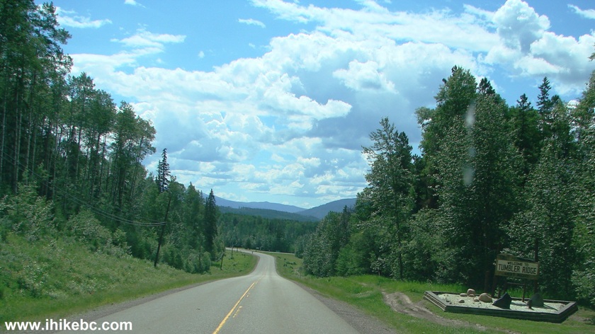
Highway 52 at Tumbler Ridge British Columbia Canada
2. Still on Highway 52, a sign directs us to turn right onto Mackenzie Way to get to the town center.
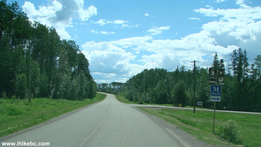
Highway 52 in Tumbler Ridge BC Canada
3. Now on Mackenzie Way. A sign points out to the Dinosaur Discovery Gallery. Tumbler Ridge adopted the dinosaur theme as its major attraction, since many dinosaur tracks and remnants were discovered in the area not so long ago.
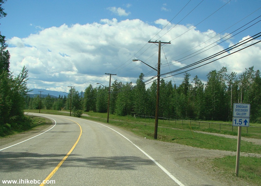
Mackenzie Way Tumbler Ridge British Columbia
4. Having turned onto Willow Drive, we checked out the local residences.
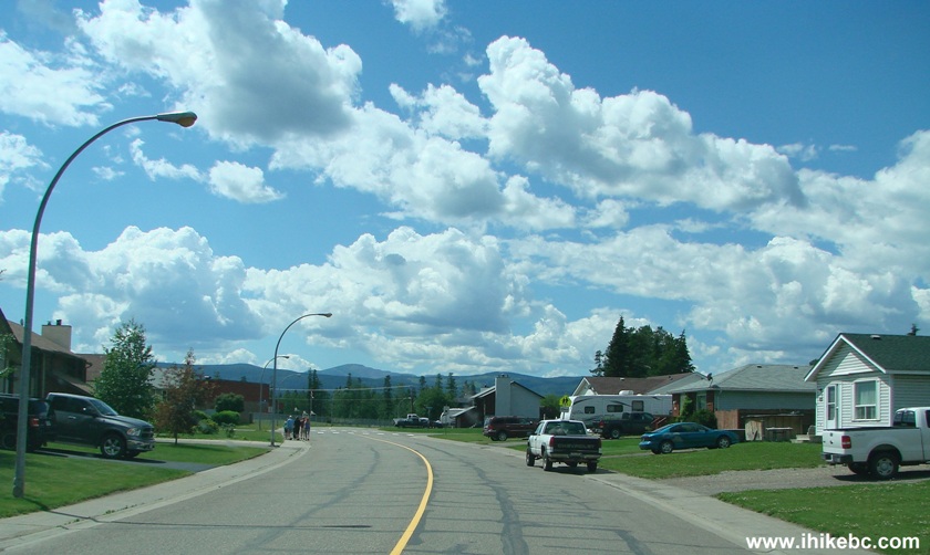
Willow Drive Tumbler Ridge BC
5. Tumbler Ridge Visitor Centre.
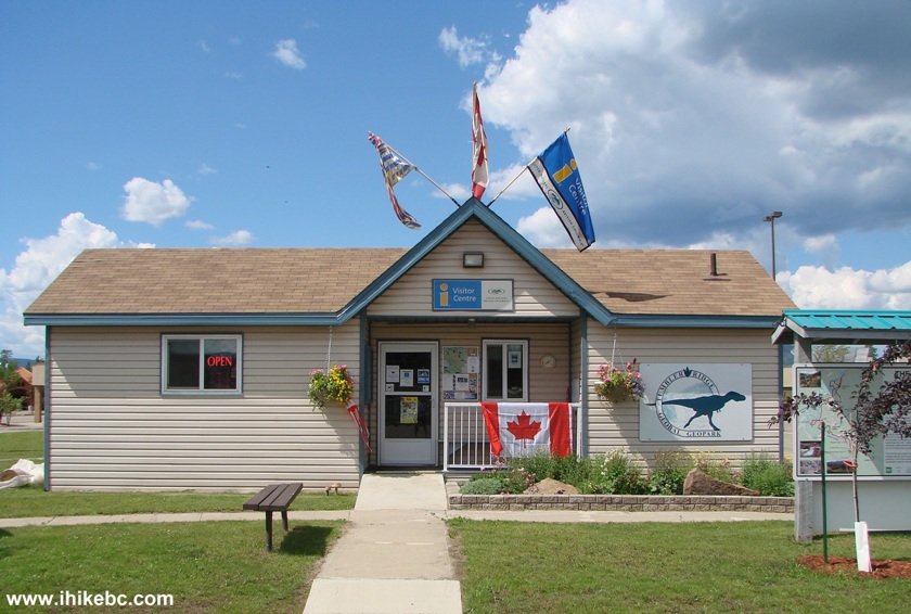
Tumbler Ridge BC Visitor Centre
6. A stand with maps of the town and the surrounding area is located by the Visitor Centre.
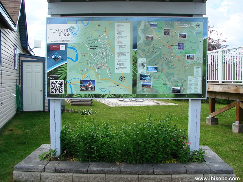
Stand with Maps of Tumbler Ridge and Surrounding Area
7. The map of Tumbler Ridge.
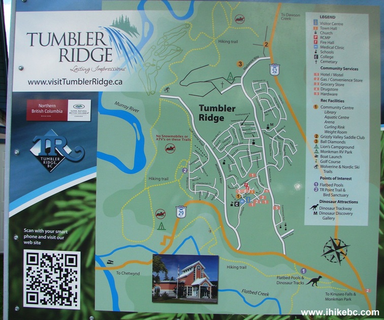
Map of Tumbler Ridge BC Canada
8. A cropped version. Just below where the black number 2 in a yellow circle is located in the upper part of the map, we have turned from Highway 52 onto Mackenzie Way. Willow Drive is located near the centre of the map. Front Street, where Canada Day celebration (covered below) was held, is where the black number 1 in a yellow circle is located closer to the bottom of the map.
Tumbler Ridge Town Map
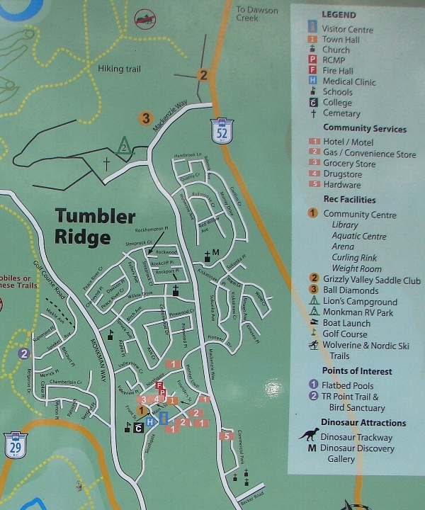
9. And here is the recreation map of the surrounding area, with many natural attractions listed on the map. The same map is available as part of a Tourism Tumbler Ridge brochure - you are likely to find it in visitor centres of many BC cities and towns.
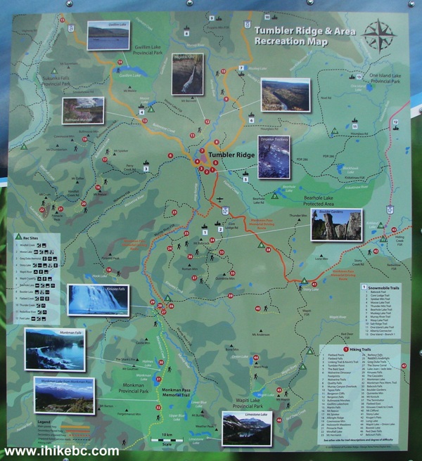
Tumbler Ridge & Area Recreation Map
10. A BC Rail car turned into a museum is waiting for you by the Visitor Centre.
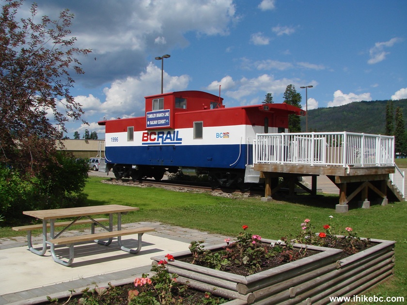
BC Rail Museum Tumbler Ridge
11. Tumbler Ridge Town Hall. Pretty in pink.
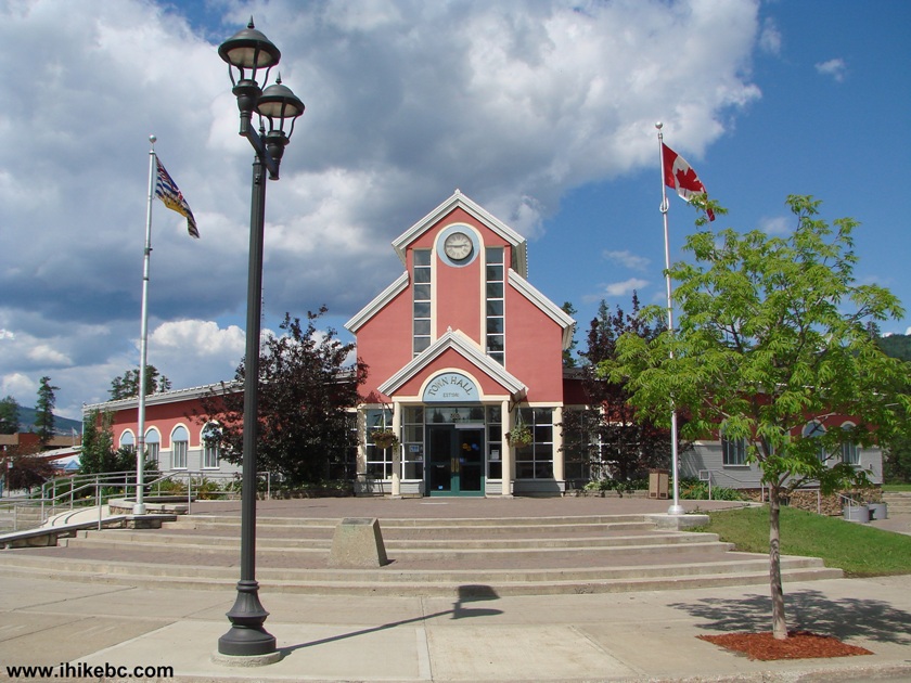
Town Hall Tumbler Ridge British Columbia Canada
12. If sweating on one of the numerous nearby trails is not enough, this outdoor gym is available 24/7.
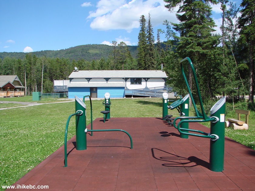
Photo of Outdoor Gym Tumbler Ridge British Columbia Canada
13. A memorial to remarkable people, after whom many of the local natural attractions were named.
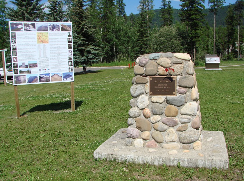
Tumbler Ridge War Memorial
14. Tumbler Ridge police station, with a dinosaur-themed utility box on the foreground.
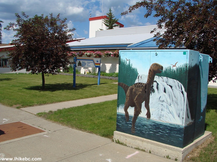
Tumbler Ridge BC RCMP Station
15. An apartment building.
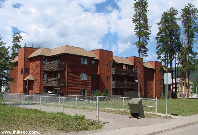
Apartment Building Tumbler Ridge BC Canada
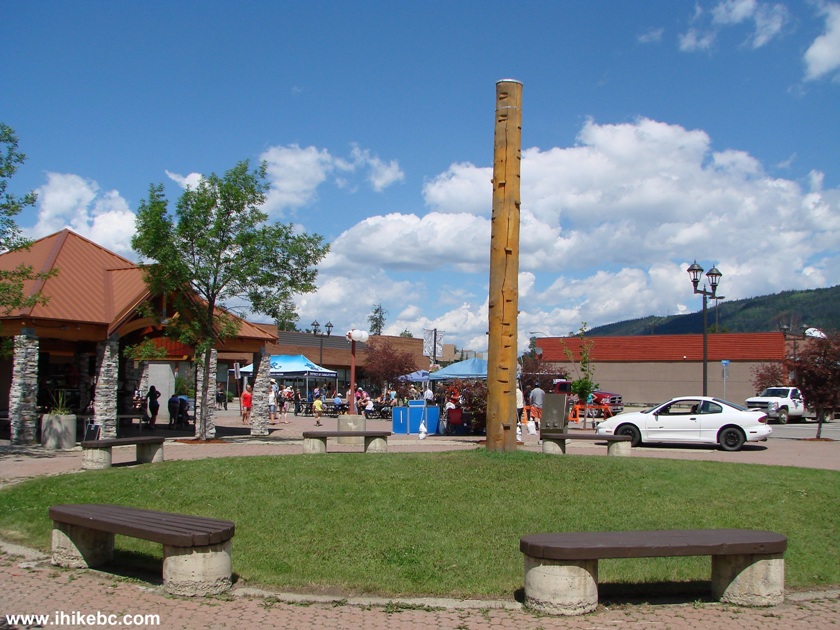
16. Today being Canada Day, Front Street was closed for festive activities.
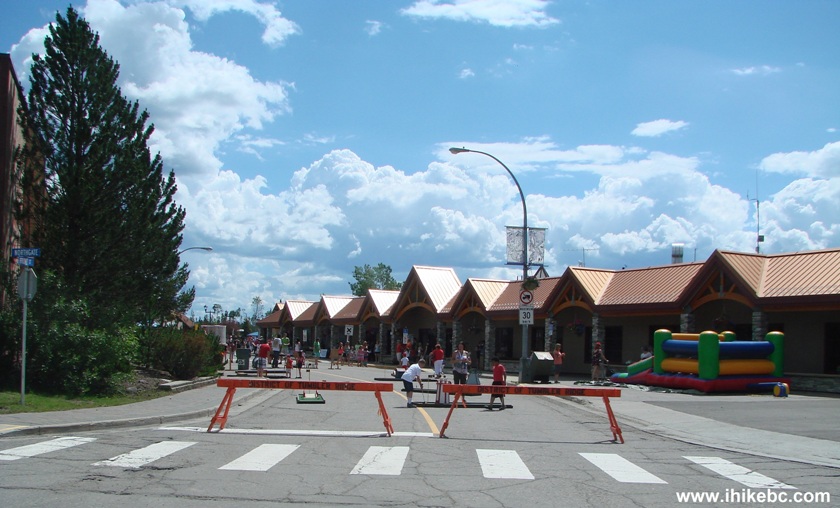
Northgate at Front Street Tumbler Ridge British Columbia
17. Looking from the other side of Front Street.
Tumbler Ridge BC
18. Get a free hamburger.
Tumbler Ridge British Columbia Canada
19. Then, sit down at a table and enjoy your meal.
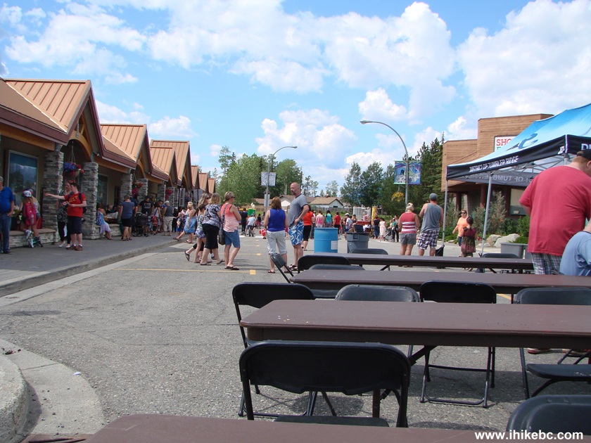
Front Street Tumbler Ridge BC
20. On our left, a band was performing soft rock songs.
Canada Day Band Performance Tumbler Ridge BC
21. They were quite good.
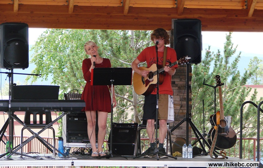
Tumbler Ridge BC Canada Day Band Performance
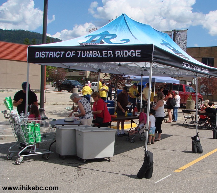
22. In the meanwhile, on Front Street the following activities were available: inflatable castle jumping, mini-golf, throwing baseballs at a push button to drop another person into a water tank.
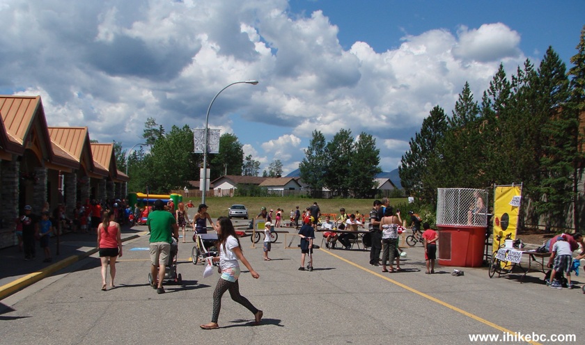
Tumbler Ridge BC Front Street Closed For Canada Day Festivities
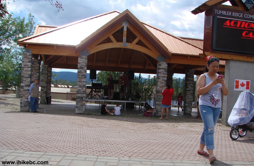
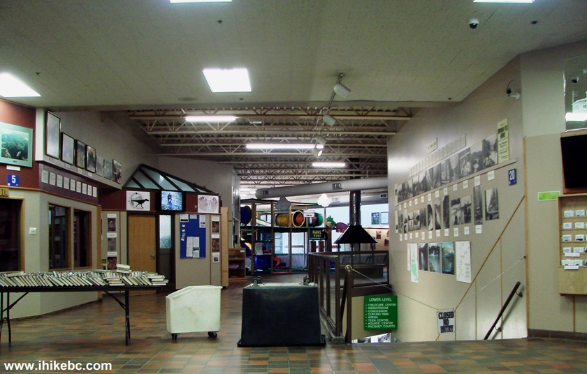
23. Tumbler Ridge Community Centre in the middle of Front Street was a good place to cool down. This is where you would get a lot of free brochures describing local hikes and providing directions. Among other things, the Community Centre houses a library, childcare, weight room, curling rink, arena, teen centre, aquatic centre, and racquet courts.
Tumbler Ridge Community Centre
Tumbler Ridge is a very pleasant town, well-deserving of a visit.


|
 |
Other Trips in Tumbler Ridge BC Area:
|
|
|
|
|
|
|
|
|
|
|
|
|
|
|
|
|
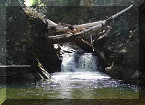
Monkman
Falls Hike
|
|
Windfall Lake Trail  |
|
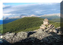
Cowmoose Mtn Trail
|
|
Bootski Lake Trail  |
|
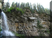
Murray Canyon
Overlook
|
|
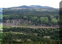
Quality Canyon Trail  |


![]()
![]()
![]()
Follow @ihikebc Tweet
ihikebc.com Trip 086 - Visit to the Town of Tumbler Ridge