![]()
![]()
![]()

Trip 286 - June 22, 2023 (Thursday)
Dewdney Peak Trail North Hike
Near Mission, BC
Page 2 of 2
Liked: Excellent panoramic view of Fraser Valley, several fine mountain views, lots of shade, shack at the end(?) of the trail.
Of Note: Industrial traffic on Norrish FSR, high theft area by the trailhead, remote traffic noise for most of the trail, frequent single engine airplane and helicopter noise, the trail can be a bit hard to follow, some mosquitoes, uneven ground / rocks and roots, several steep sections – hiking poles and boots are highly recommended.
Vancouver, Coast & Mountains Backroad Mapbook (2019 edition) Trailhead Coordinates: Page 3 (Abbotsford) G3.
Follow @ihikebc TweetDewdney Peak Trail is located near Mission BC. The highlights of this 2.2 km (one way) moderately difficult trail (with several steep sections) are a very fine panoramic viewpoint of Fraser Valley, and a neat shack at the apparent end of the trail.
This trail has two trailheads (North and South), which end up meeting at some point, and then carry on as one trail. Both trailheads are located on Norrish Forest Service Road, separated by a distance of 1.3 km. It is thus possible to make it a loop hike by starting at one trailhead, finishing at another, then hiking for 1.3 km on Norrish FSR back to your vehicle (or have a second vehicle and do a shuttle).
Norrish FSR is in good shape, though has industrial traffic present. Also, there are several posters by both North and South trailheads warning of a high theft hazard, and that motion detection cameras are installed to capture illegal activity. We do not recall ever seen motion detection cameras at any trailhead - is it really that bad there?
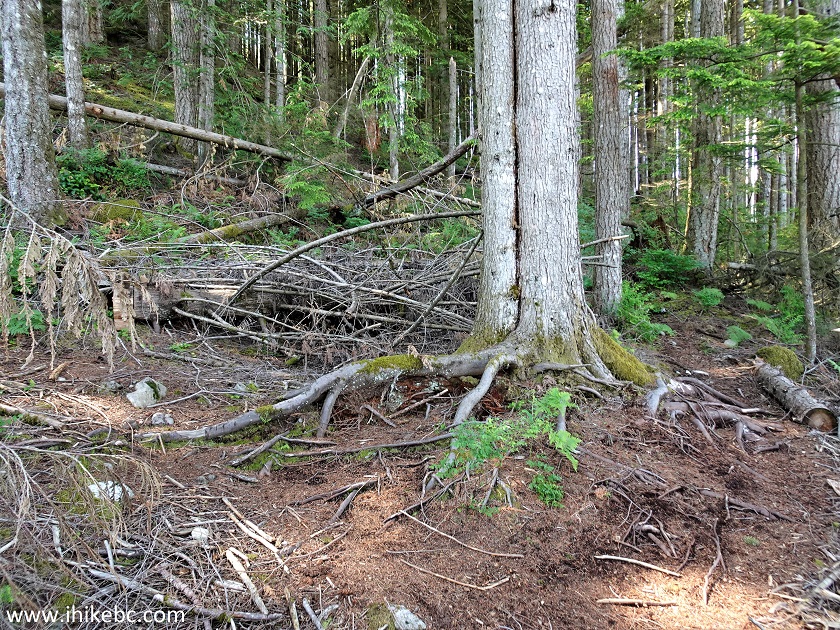
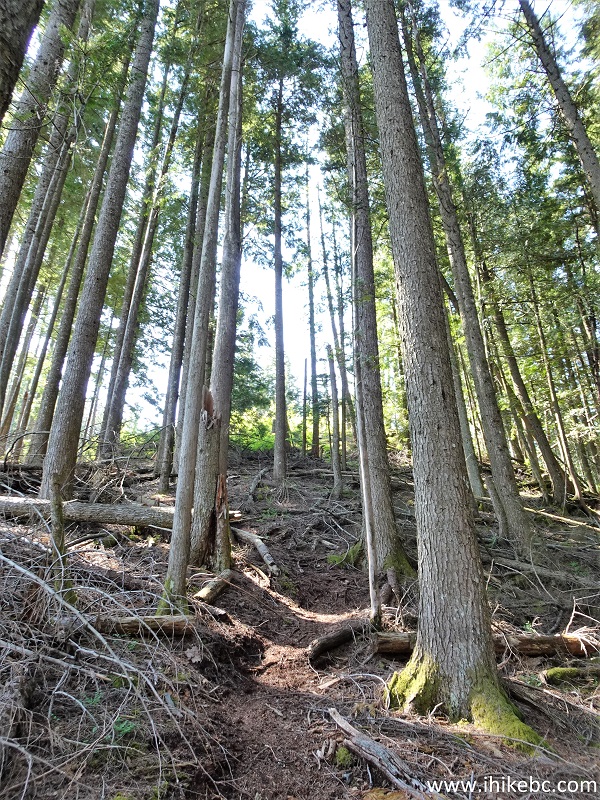
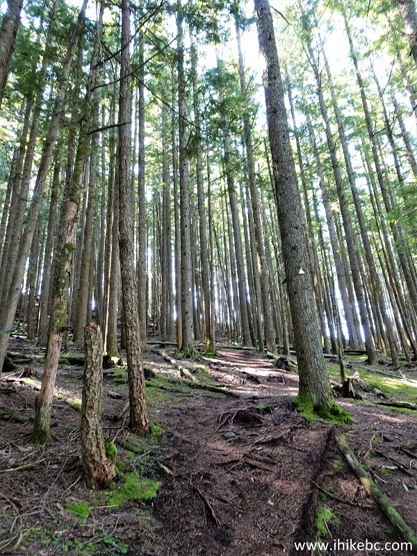
Anyway, today we hiked the North trail, and cannot even recall the point at which the South trail joined the North one. There are many splits and junctions, and the trail was not marked well, so bring a GPS in case you need to retrace your steps. Our photo directions cover the key points, and the trail is not very long, so it's not likely that you would get badly lost.
The condition of Dewdney Peak North Trail is fairly decent, with a few slightly overgrown areas. We ended up hiking to the shack, which definitely looked like a trail end. But, apparently, the trail continues after that, albeit in a much worse shape, so you might be able to go even further.
34. Very shortly there is a split - keep left.
Hiking in Mission BC area - Dewdney Peak Trail
35. At 1.90 km of Dewdney Peak Trail North now (or this might be a combined trail now - no idea where South trail joins North with all these trails and no signs).
Dewdney Peak Trail Hike
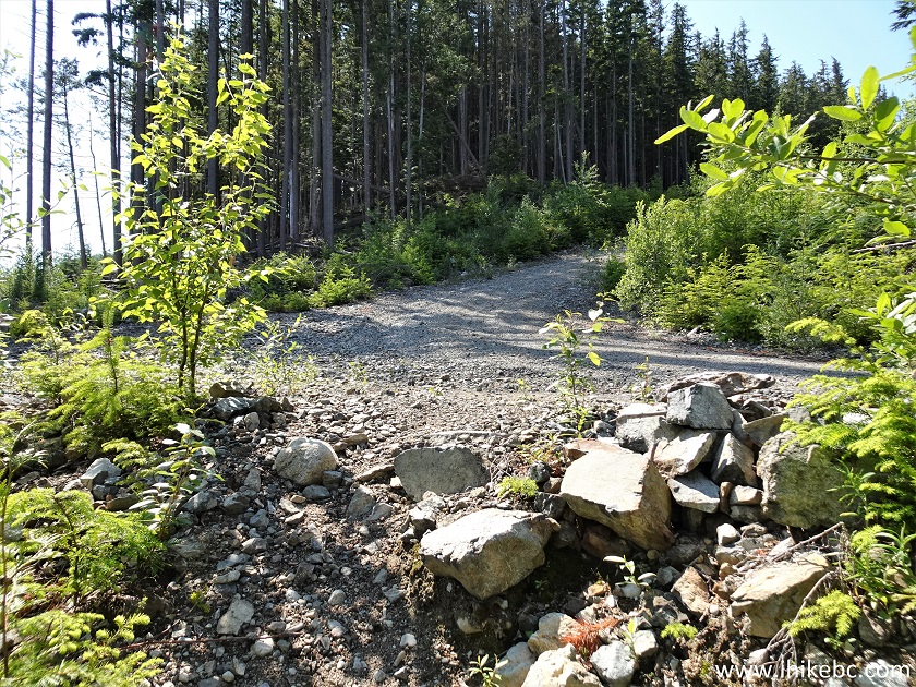
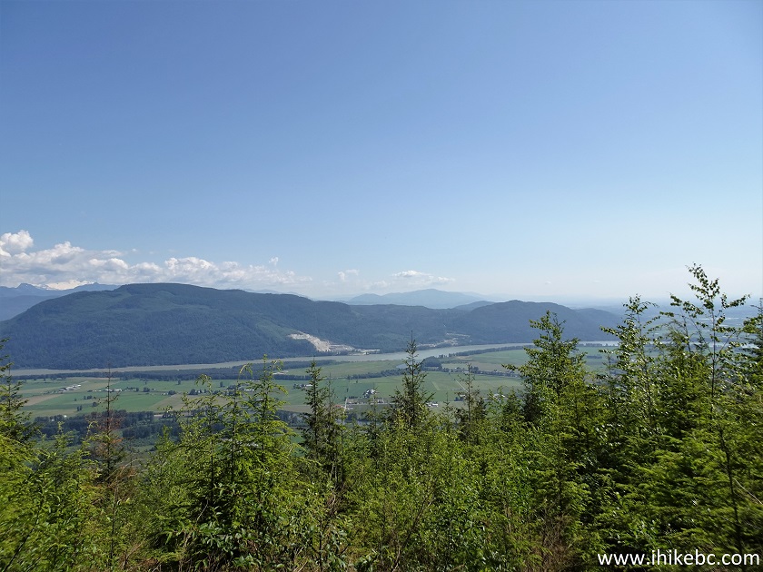
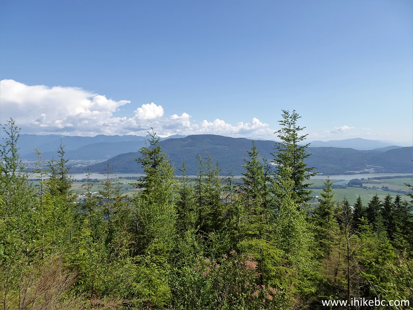
36. At 1.98 km, we are at yet another logging road. Coordinates: N 49⁰11.501' W 122⁰10.325'. Elevation: 630 meters. Pretty much go straight (you can see the road going up) to get to the shack. However, for a great view of Fraser Valley go left for just a few meters.
British Columbia Hiking
37-41. We went left for a few meters for a great view of Fraser Valley. Looking South here. Left to right followed by a panorama.
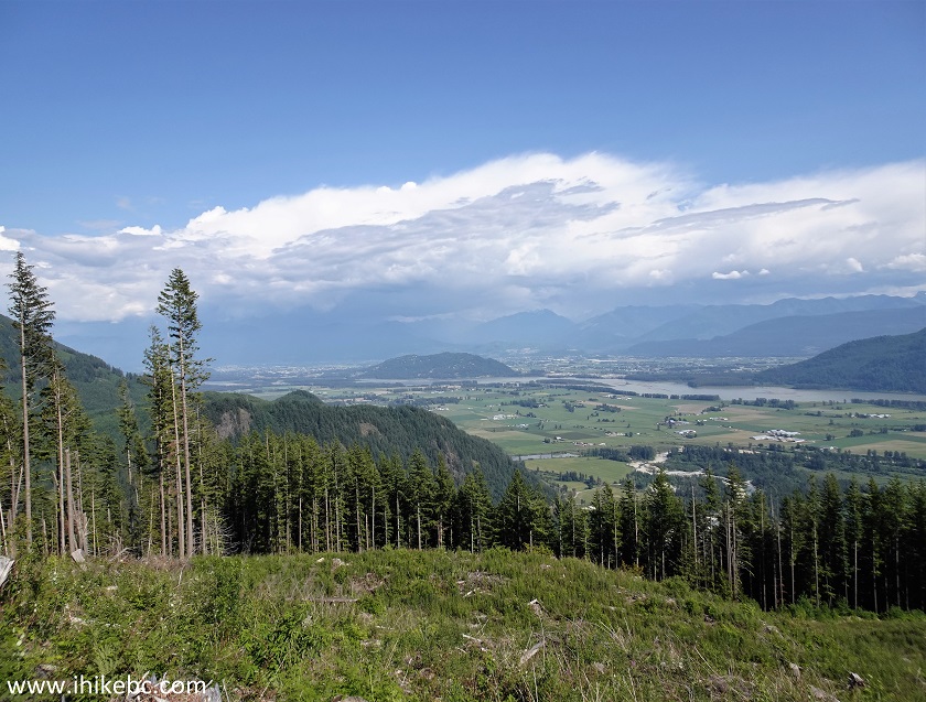
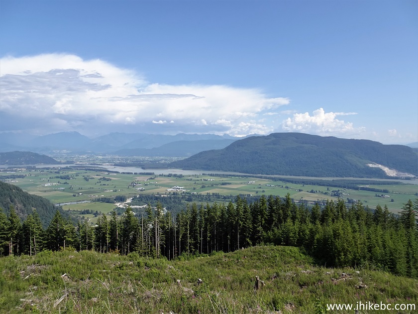
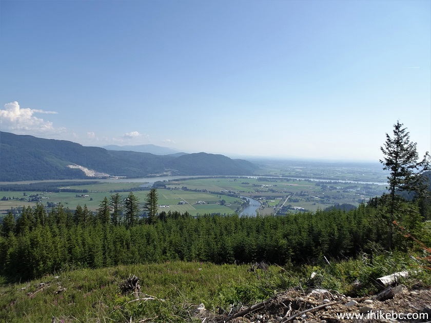
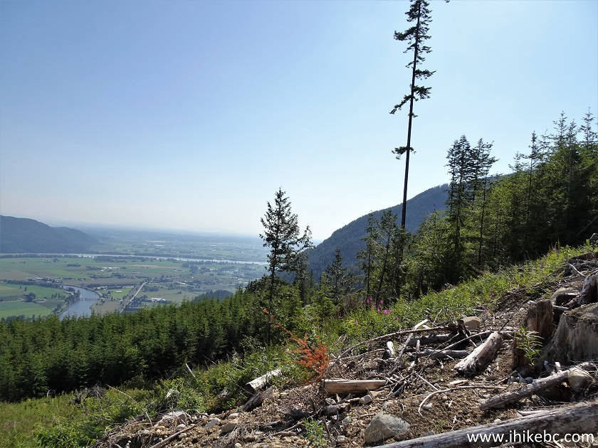
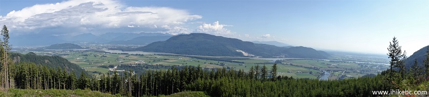
Fraser Valley View from Dewdney Peak Trail
42. Zooming in for a better look of Fraser Valley.
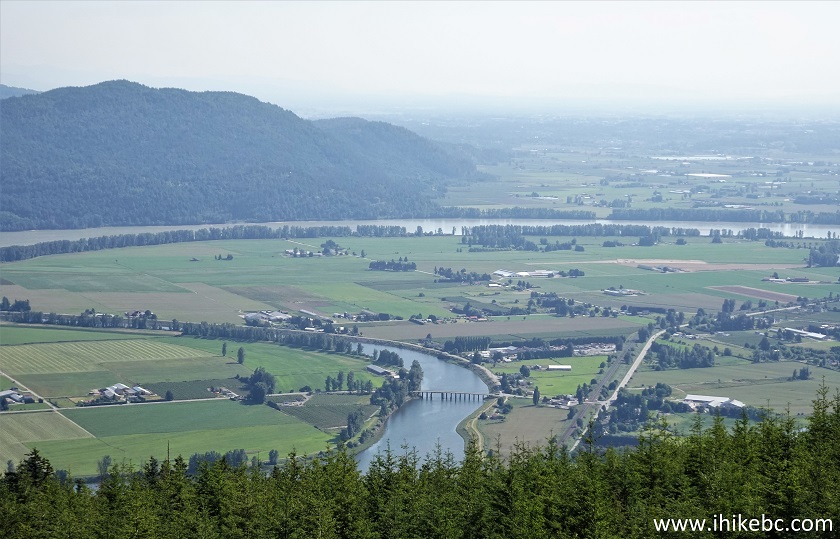
Fraser Valley
43. Nicomen Slough.
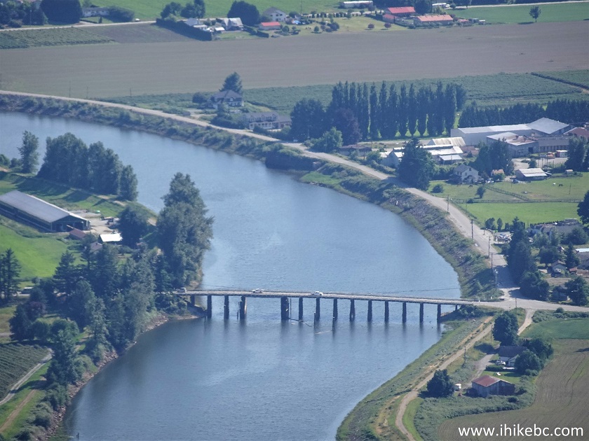
Nicomen Slough zoomed view from Dewdney Peak
Here is our video of the views from this location:
44. Now we are back on the trail, heading up the road seeing in photo #36.
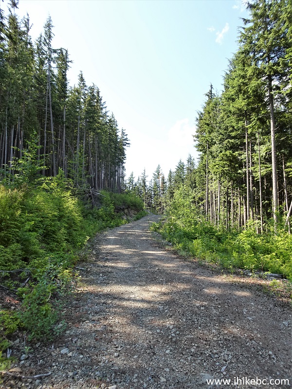
Dewdney Peak Hike in Mission British Columbia Area
45. Very soon after the viewpoint, take a path on the left side.
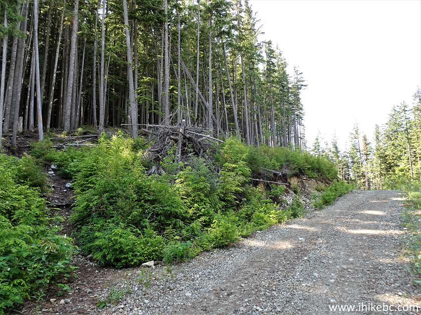
Hike in British Columbia - Dewdney Peak Trail
46. Dewdney Peak Trail at 2.1 km.
Dewdney Peak Trail - Hike in Canada
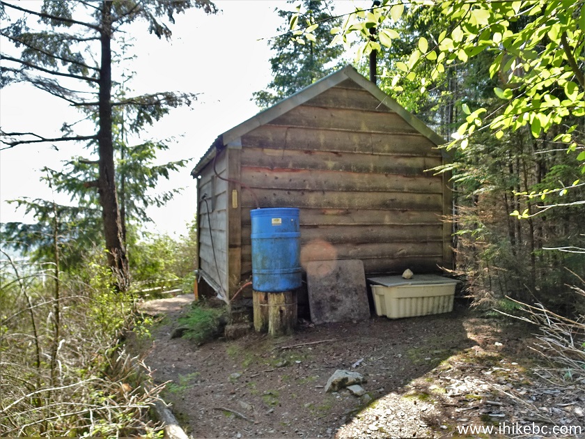
47. And here is the shack, at 2.22 km of the hike. Coordinates: N 49⁰11.516' W 122⁰10.495'. Elevation: 680 meters. A pit toilet is located about 20 meters before the shack, on the right side (it's easy to miss at first).
Dewdney Peak Shack
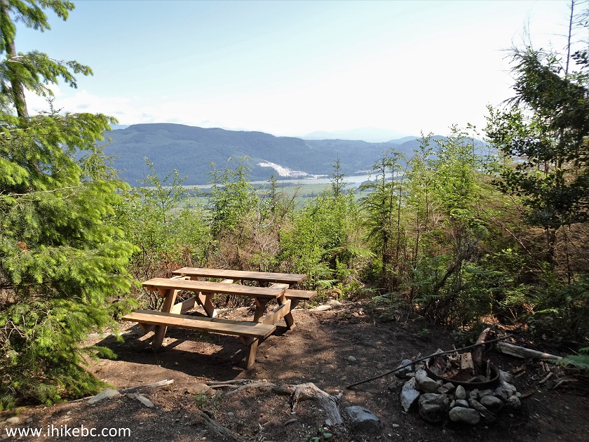
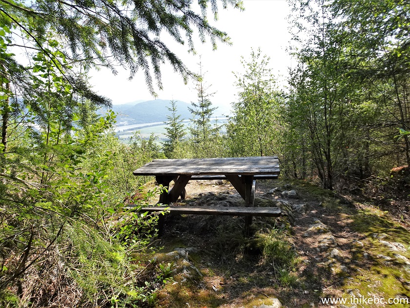
48. There is a picnic table by the shack, as well as a makeshift bench and a fire ring.
Dewdney Peak Picnic Table
49. Alas, the view here is mostly overgrown.
View from Dewdney Peak
50. The front of the shack.
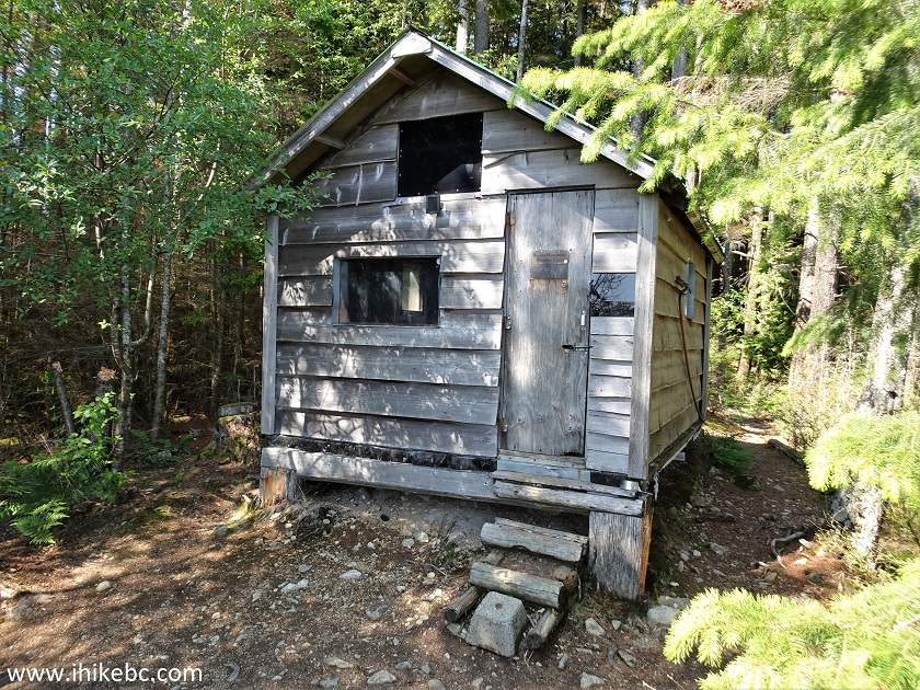
Dewdney Peak Hut Exterior
51. Let's go inside.
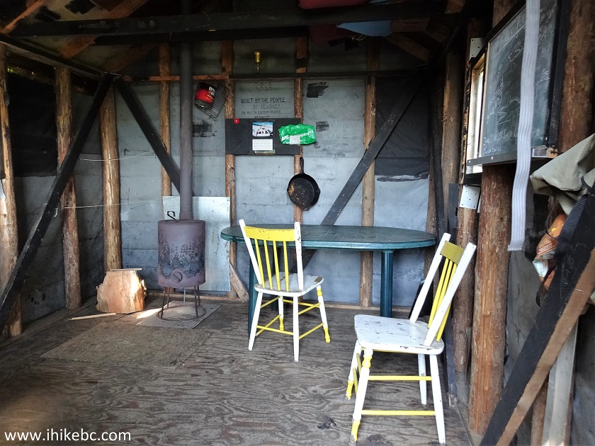
Dewdney Peak Shack Interior
52. Looking back.
Inside Dewdney Peak Hut near Mission BC Canada
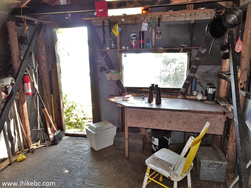
53. Items on the table.
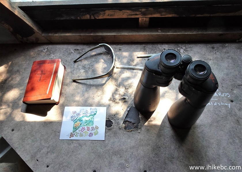
Dewdney Peak Shack Items
54. Cooking time.

Dewdney Peak Shack Pots and Pan
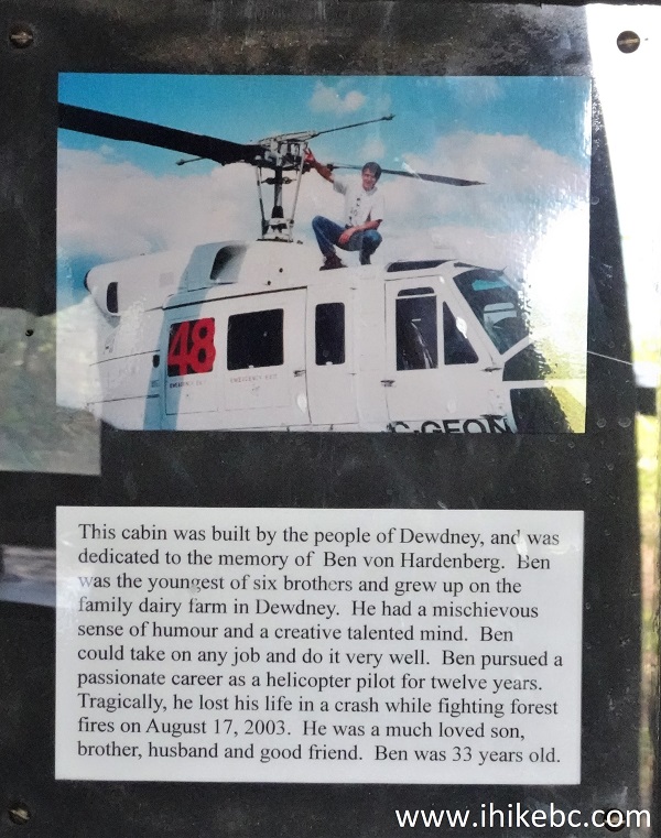
55. The shack was built in 2005, and is dedicated to the memory of Ben von Hardenberg, who was a local helicopter pilot and died in a crash while fighting a forest fire in 2003.
Ben von Hardenberg Memorial Plaque
Here is our video of the shack:
More ihikebc videos are on our YouTube Channel.
56-57. The path continues for 20 meters past the shack and leads to another picnic table with another overgrown view.
Picnic Table on Dewdney Peak Trail
Apparently, it is possible to hike even further, but we did not see the continuation of the trail. Dewdney Peak Trail North, despite being a bit challenging to follow at times, provides a good workout, plus has an excellent Fraser Valley view and a neat shack. Highly recommended.


|
 |
Other Trips:


![]()
![]()
![]()
Follow @ihikebc Tweet
ihikebc.com Trip 286 - Dewdney Peak Trail North Hike (near Mission, BC) Page 2 of 2