Trip 326 - May 6, 2025 (Tuesday)
Vancouver BC to Texada Island BC Trip
Page 2 of 3
Liked: Three ferry rides, driving on Sunshine Coast Highway (BC Highway 101).
Vancouver, Coast & Mountains Backroad Mapbook (2019 edition) Trip Coordinates :
Maps 8, 9, 10, 11, 19 and 20. Follow @ihikebc TweetTexada Island is a very large island located between Sunshine Coast of BC and Vancouver Island. It is home to just over 1,200 people and a whole lot of deer, as there are no natural predators on Texada Island. A ferry from Powell River (Westview Ferry Terminal) takes 50 minutes to reach the Northern tip of Texada Island (Blubber Bay Ferry Terminal). Two more ferries (Horseshoe Bay to Langdale and Earl's Cove to Saltery Bay) are required to reach Powell River from Greater Vancouver. One can also get to Powell River via a ferry from Comox on Vancouver Island.
Our trip report shows how we got to Texada Island (Gillies Bay general store) from downtown Vancouver BC by taking those three ferries, as well as driving on TransCanada Highway 1 and Sunshine Coast Highway (BC Highway 101).
24. BC Ferry "Malaspina Sky" en route to Saltery Bay ferry terminal.
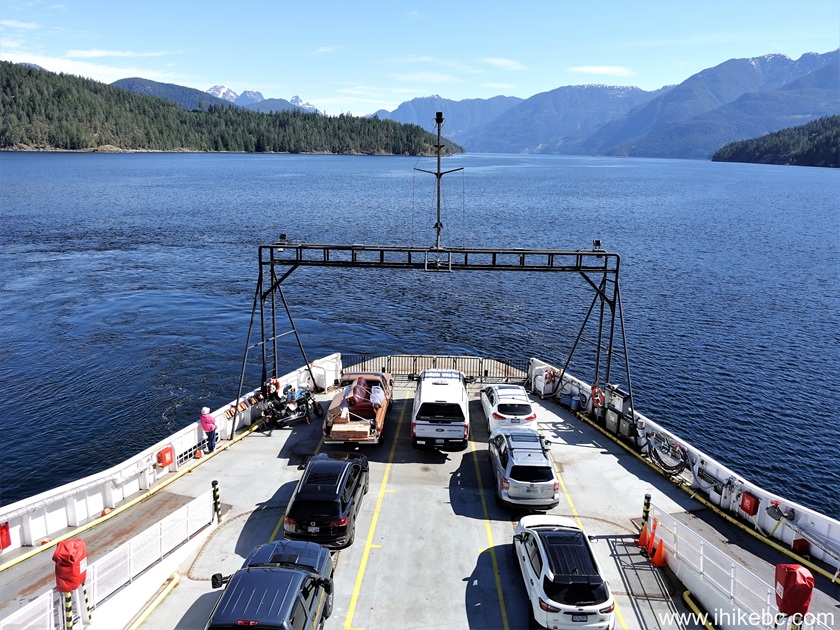
Onboard BC Ferry Malaspina Sky
25. Malaspina Sky rescue boat.
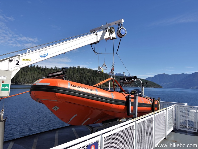
British Columbia Ferry "Malaspina Sky" rescue boat
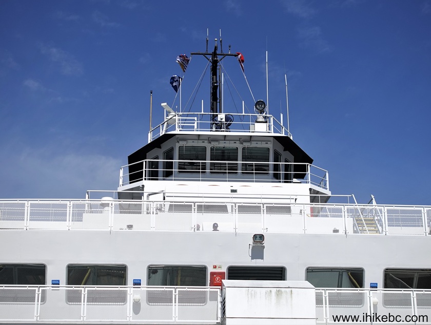
25. The bridge and upper deck of Malaspina Sky.

"Malaspina Sky"
26. Malaspina Sky passengers chilling on benches.
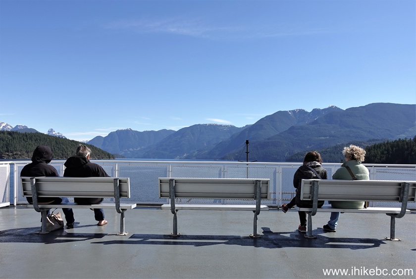
Passengers on board of "Malaspina Sky" BC Ferry
27. Malaspina Sky interior staircase.
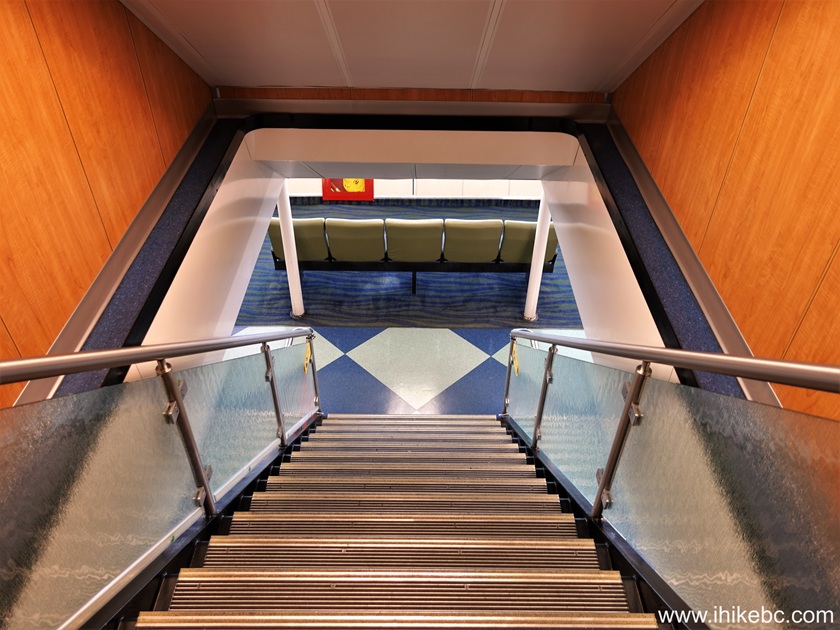
Malaspina Sky staircase
28. Malaspina Sky interior sitting area.
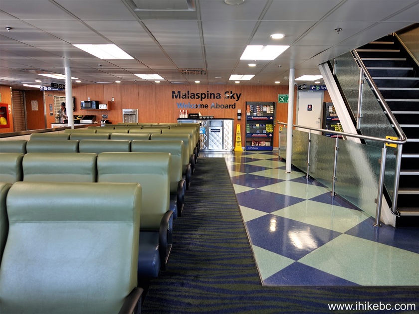
Malaspina Sky interior sitting area
29. Welcome aboard Malaspina Sky.
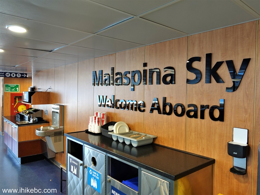
Welcome Aboard Malaspina Sky
30. Malaspina Sky corridor.
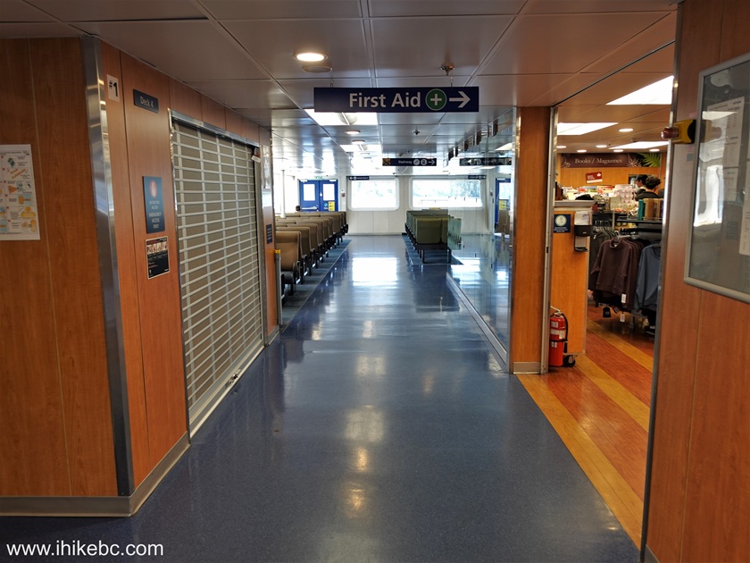
Inside BC Ferry "Malaspina Sky"
31. Malaspina Sky eatery.
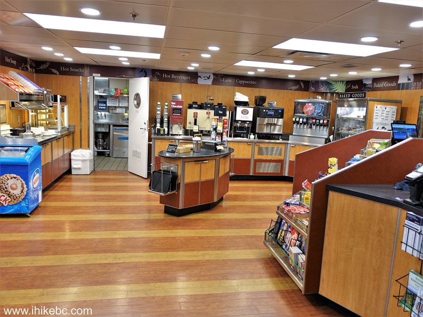
Malaspina Sky food service
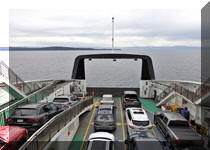
32. Malaspina Sky vehicle deck.
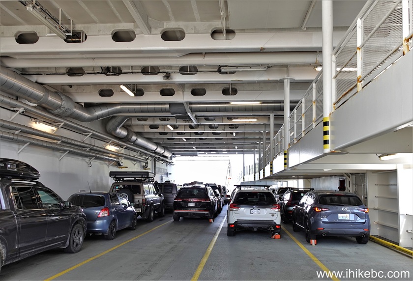
Malaspina Sky vehicle deck
33. Malaspina Sky bridge and vehicle deck.
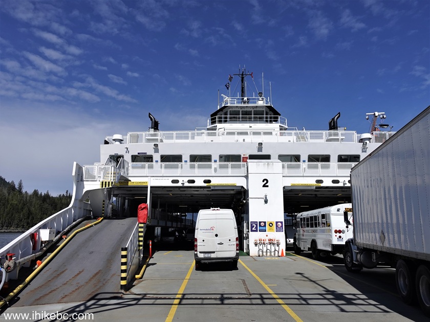
Aboard BC Ferry "Malaspina Sky"
34. The bridge of BC Ferry "Malaspina Sky".
"Malaspina Sky" bridge
35. Another look at the vehicle deck.
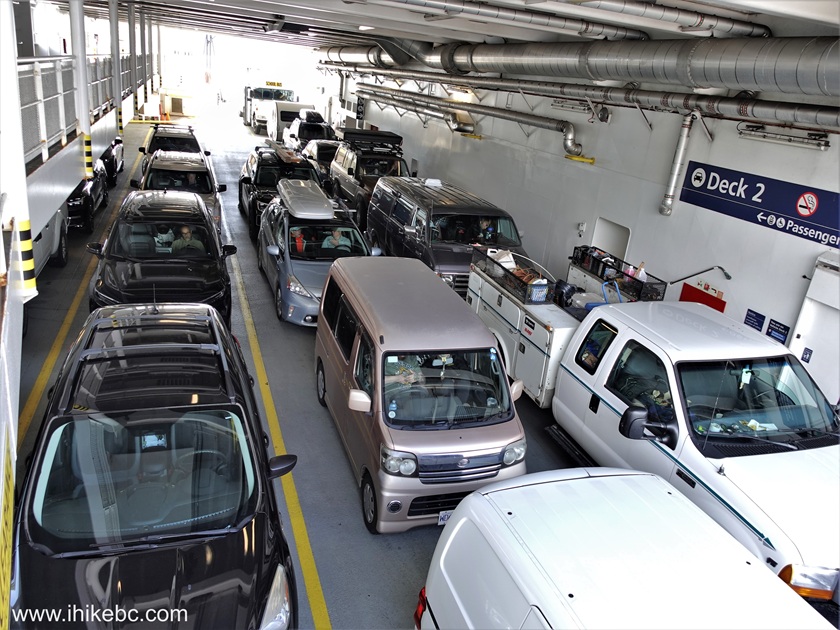
Vehicle deck of BC Ferry Malaspina Sky
36. Upper deck again.
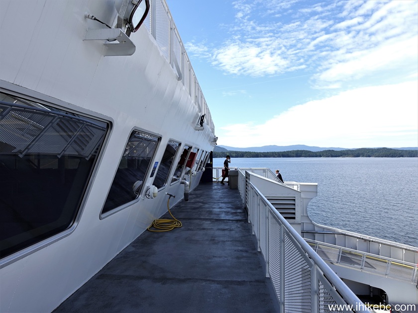
"Malaspina Sky"
37. Malaspina Sky arriving at Saltery Bay ferry terminal approximately 50 minutes after leaving Earl's Cove.
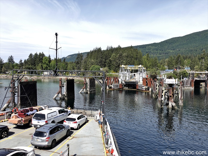
Onboard BC Ferry "Malaspina Sky" approaching Saltery
Bay ferry terminal near Powell River, British Columbia, Canada
Here is our video of sailing on BC Ferry Malaspina Sky.
More ihikebc videos are on our YouTube Channel.
38. And we are back on Sunshine Coast Highway (BC Highway 101), with Powell River being about 20 minutes ahead.
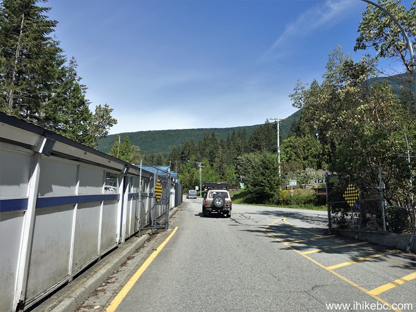
Driving on BC Sunshine Coast (Hwy 101) after disembarking from a ferry
at Saltery Bay terminal
Our Vancouver to Texada Island trip report Continues on Page 3.


|
 |
Other Trips:


![]()


![]()
![]()
![]()
ihikebc.com Trip 326 - Vancouver BC to Texada Island BC Trip -
Page 2 of 3