![]()
![]()
![]()

Trip 208 - May 11, 2021 (Tuesday)
Mehatl Falls Trail Hike
Off Nahatlatch FSR Near Boston Bar BC
In Mehatl Creek Provincial Park
Liked: A
fairly short and easy trail to an impressive waterfall and cascades, a sandy beach by the creek near the trail.
Of Note:
Dangerous viewing areas by the waterfall, stay away from the edges. Numerous mosquitoes (mostly in the middle of the trail), several fallen trees across the trail, some wet and/or muddy sections, uneven ground (hiking poles and boots are recommended).
Vancouver, Coast & Mountains Backroad Mapbook (5th
edition) Trailhead Coordinates: Page 25 (Nahatlatch Lake) D2.
Related Website:
Mehatl Creek Provincial Park - BC Parks Official Website.
Mehatl Falls Trail is located in Mehatl Creek Provincial Park off Nahatlatch Forest Service Road, which starts near the town of Boston Bar, located on TransCanada Highway 1 between Yale and Lytton. This easy trail is 4.4 km long and leads to lower and upper falls, separated by less than a hundred meters. Along the way, there is a short trail to a camping area by Mehatl Creek, which has a small but cozy real sandy beach. Too bad about the mosquitoes, which were quite numerous in that area. There were fewer mosquitoes at the beginning of the trail, and none at the end, allowing for a good waterfall viewing experience. There are three main observation areas, and be very careful in areas 1 and 3, as there are steep drop-offs into raging waters at those locations.
1. We are at 40.3 km of Nahatlatch Forest Service Road. Check out that trip report for directions on getting here from TransCanada Highway 1 in Boston Bar. This is the same photo as #30 of Nahatlatch FSR Trip Report. The parking area is very big, good for 20-25 vehicles, and is the first such large area from the beginning of Nahatlatch FSR. It's free too - there are fee-based campgrounds along the FSR before this spot.
Mehatl Falls trailhead is located in the far right corner, where the red arrow is pointing in the photo below.
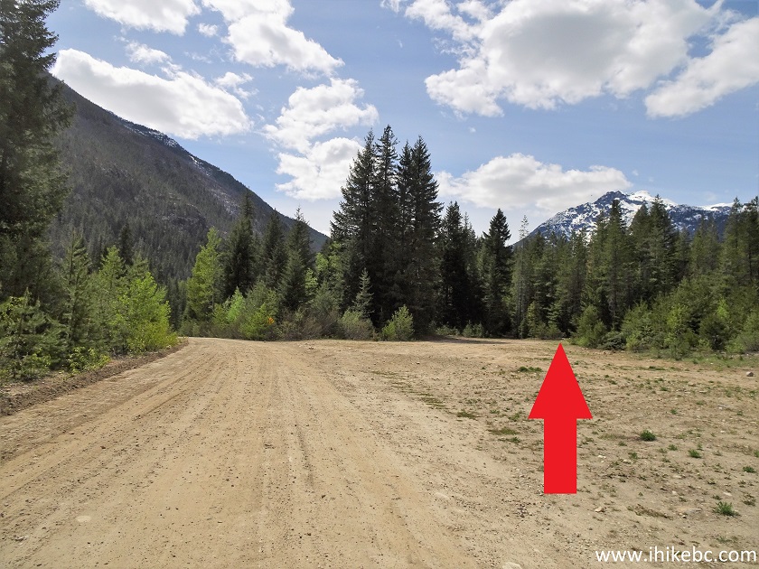
Nahatlatch FSR at Mehatl Falls Trail Parking Lot
2. Mehatl Falls trailhead. Coordinates: N 49⁰56.219' W 121⁰55.974'. Elevation: 326 meters.
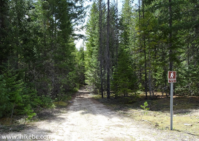
Mehatl Falls Trailhead - Boston Bar Trail
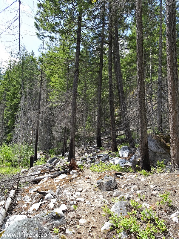
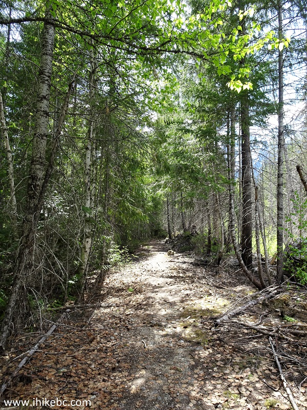
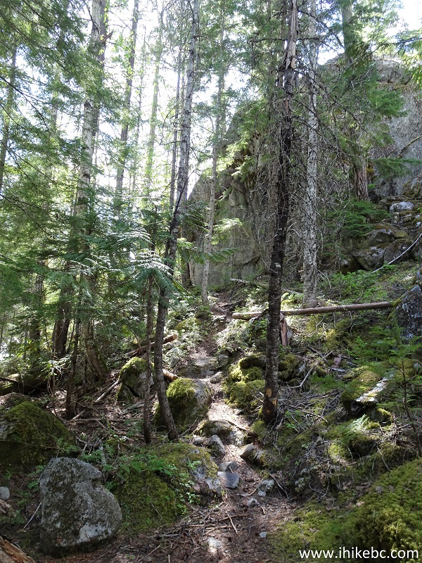
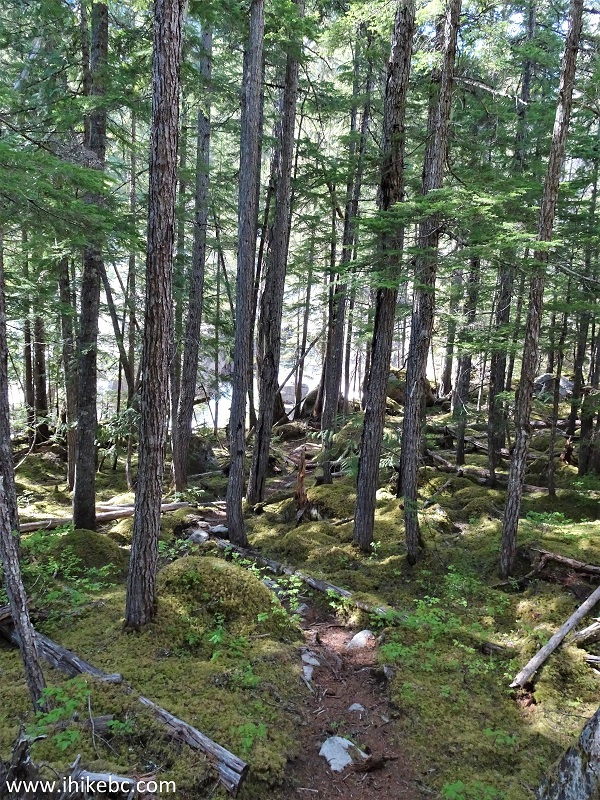
3. It's an easy trail, save for a short hill and a few fallen trees across the path. At 460 meters from the trailhead here (all distances are based on a GPS odometer and are approximate).
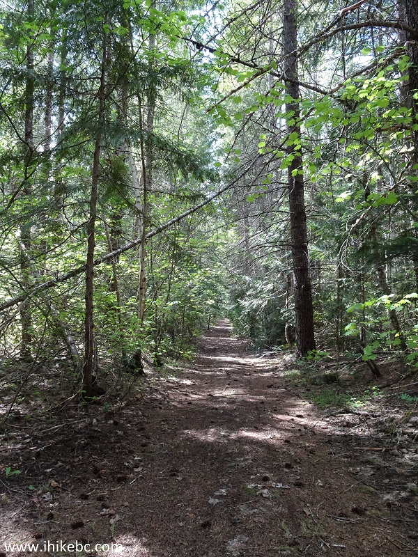
Boston Bar Hike - Mehatl Falls Trail
4. A few wet and muddy sections are there too, but they are easy to traverse.
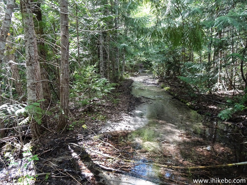
Mehatl Falls Trail - Boston Bar Hiking
5. In 20 minutes, there is a pond, where the trail veers to the right.
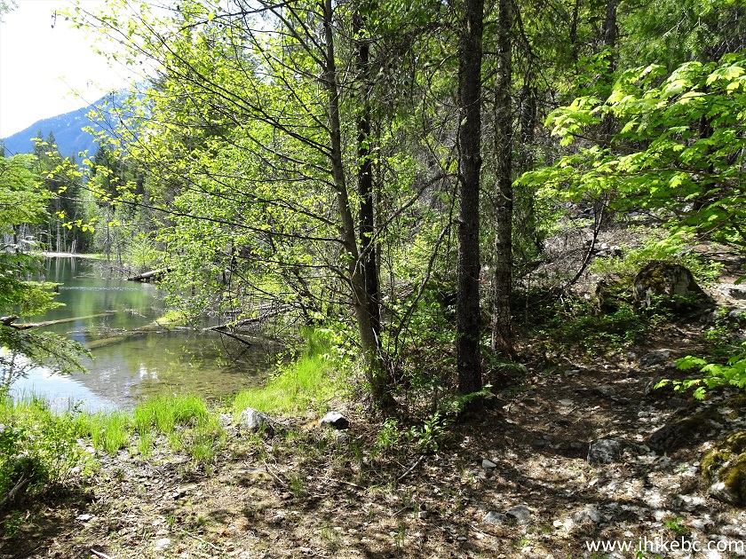
Hiking in Boston Bar Area - Mehatl Falls Trail
6. The path along the pond.
Mehatl Falls Trail - Hike in Boston Bar BC Area
7. Not a bad-looking pond.
Pond View - Mehatl Falls Trail in Boston Bar British
Columbia Canada Area
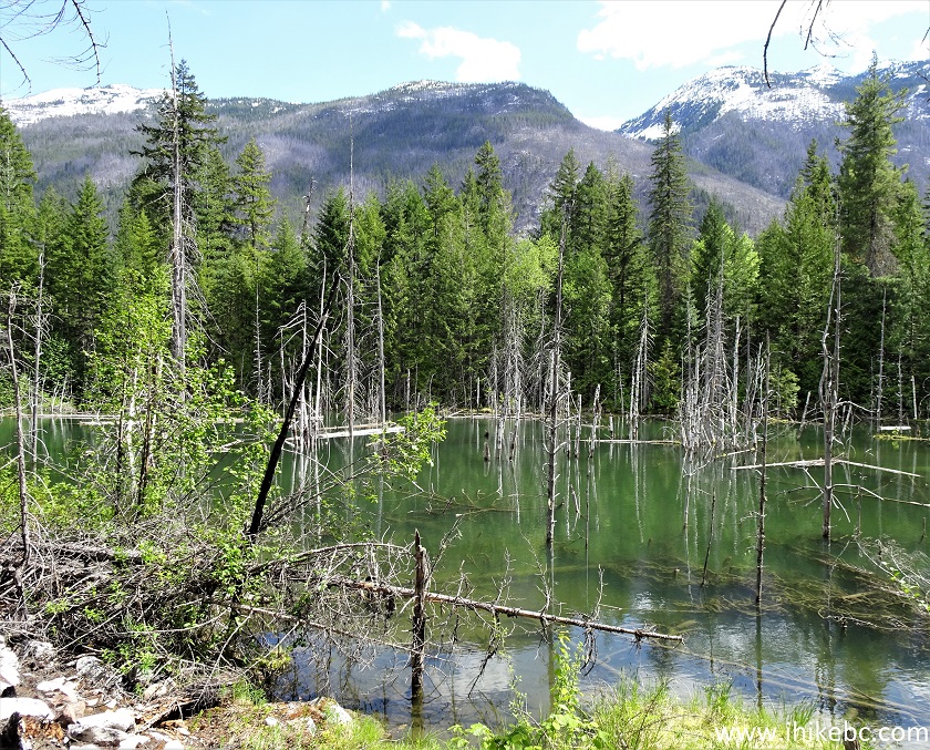
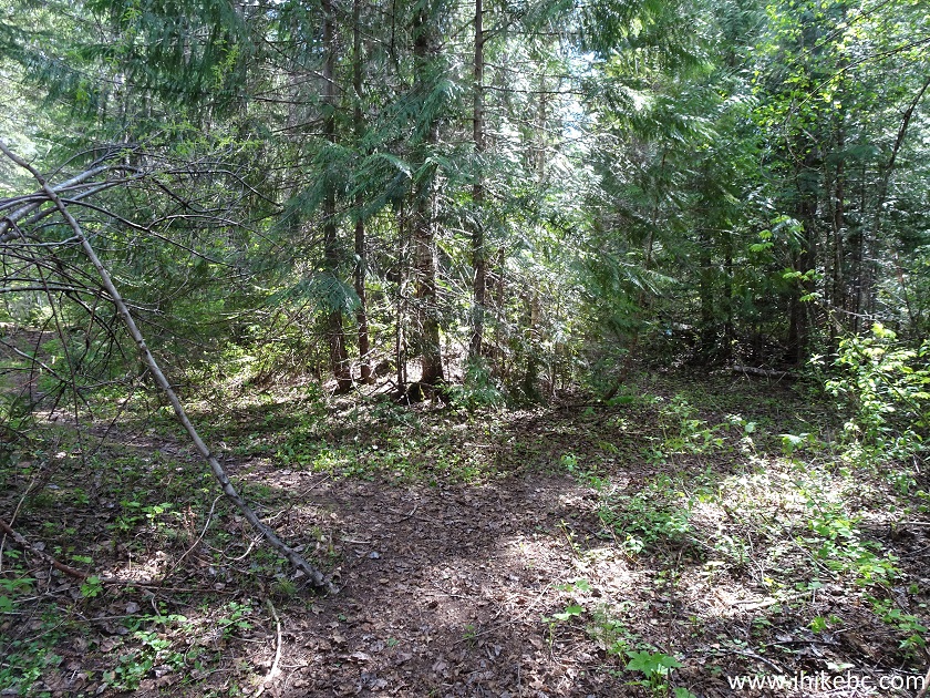
8. After the pond ends, the trail is washed out for a hundred meters or so.
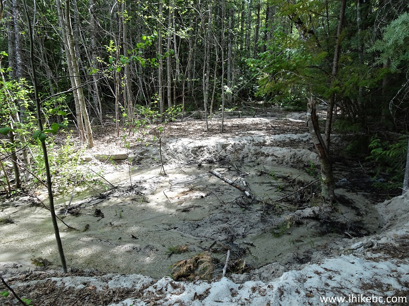
British Columbia Hiking - Mehatl Falls Trail
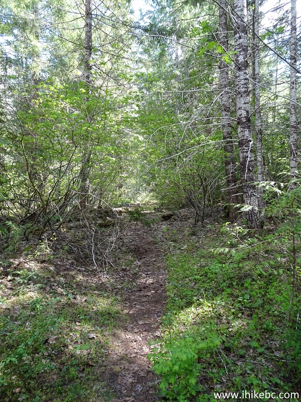
9. The general direction of travel is quite obvious, however, so it is easy to find the continuation of the trail. Here it is at 1.8 km.
Mehatl Falls Trail off Nahatlatch Forest Service Road
10. Three large fallen trees would require some climbing at 1.9 km. There is another set of fallen trees shortly thereafter.
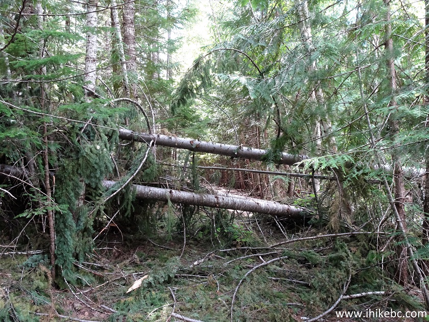
Fallen Trees on Mehatl Falls Trail
11. At 2.5 km, there is a split. Coordinates: N 49⁰55.862' W 121⁰57.518'. Elevation: 327 meters. To the right is the continuation of Mehatl Falls Trail. And, to the left, there is a 50 meter path to a camping area and access to river with a sandy beach.
Mehatl Falls Hike
12. We took a path to the left at first.
Mehatl Falls Offshoot Trail to Camping and Beach
13. Very soon, a neat camping area.
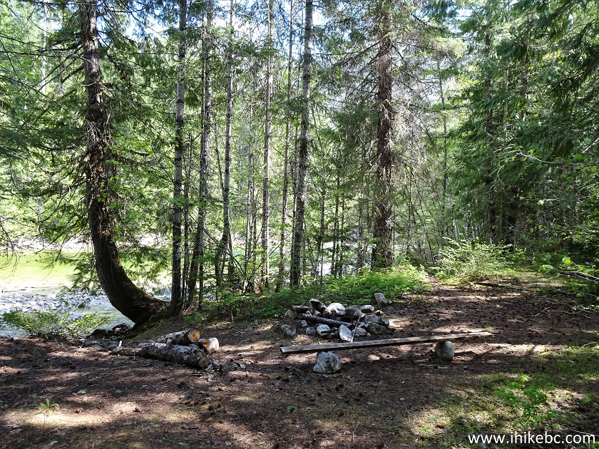
Camping Area by Mehatl Falls Trail near Boston Bar BC
14. The access to the river on the left side.
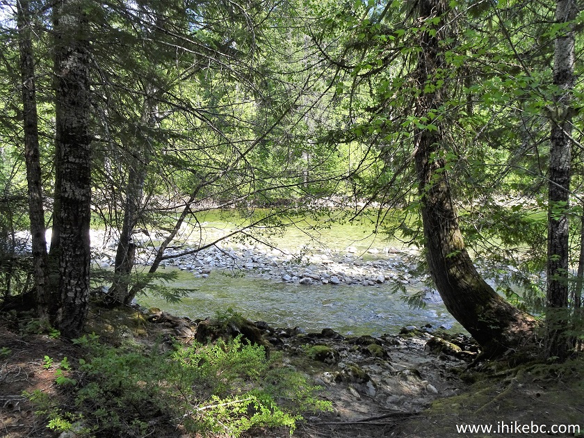
Mehatl Falls Trail Camping Area
15. And here it is, a real sandy beach. Shame about the numerous mosquitoes, though.
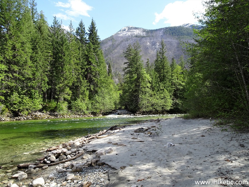
Sandy Beach by Mehatl Creek
16. Looking the other way.
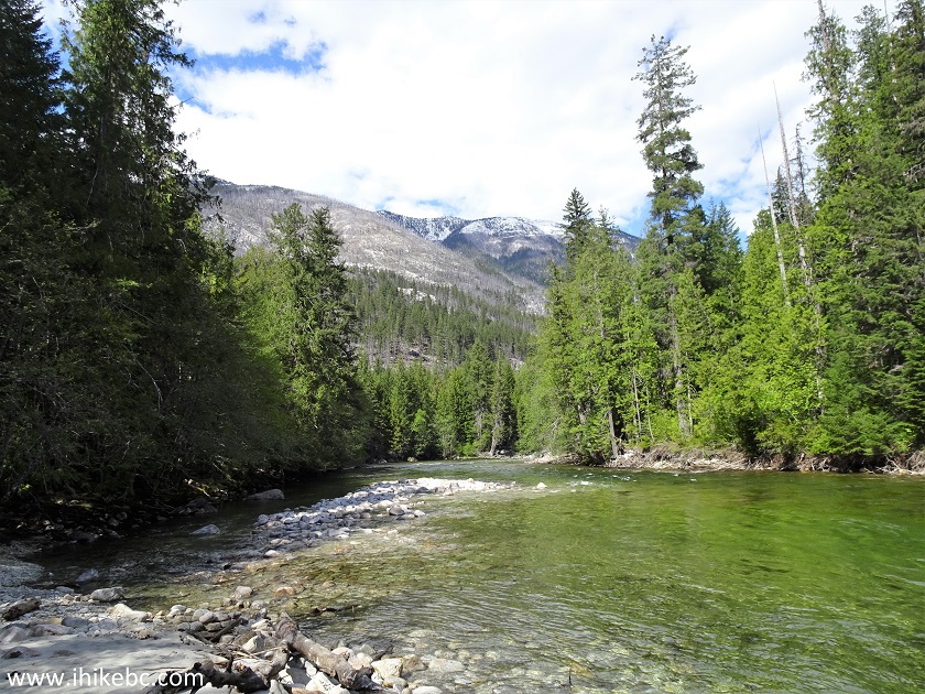
Mehatl Creek
17. And we are back on Mehatl Falls Trail. At 2.9 km.
Mehatl Creek Provincial Park British Columbia Canada
18. Passing by a large stone.
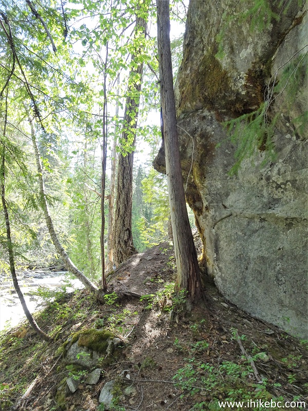
Mehatl Falls Trail in Mehatl Creek Provincial Park
19. Just a bit further.
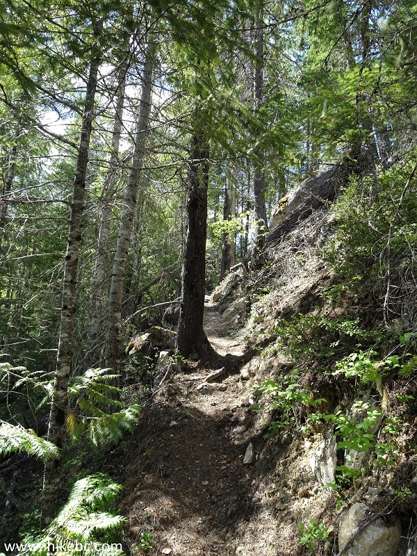
Mehatl Falls Hike
20. At 3.2 km, a steep hill might make you sweat, if only for a hundred meters.
Mehatl Falls Trail - Mehatl Creek Provincial Park
near Boston Bar BC
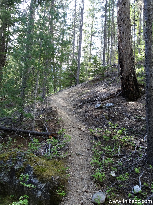
21. One kilometer later, we are approaching Lower Mehatl Falls.
Mehatl Falls Trail Near Lower Mehatl Falls
22. Here it is. Coordinates: N 49⁰55.732' W 121⁰58.535'. Elevation: 357 meters (31 meters elevation gain from the start of the trail). The volume of water was impressive.
Lower Mehatl Falls
23. With some zoom.
Mehatl Creek Provincial Park - Lower Mehatl Falls
24. WARNING - DANGEROUS AREA. The Lower Mehatl Falls observation area is dangerous, with slippery stones and slanted unstable ground. Stay away from the edges, as the currents by the waterfall are very strong. We have indicated with a red arrow an especially problematic spot, which is tilted towards the creek and is composed of what appeared to be loose sand. If you step on that sand and it starts sliding, it might not stop.
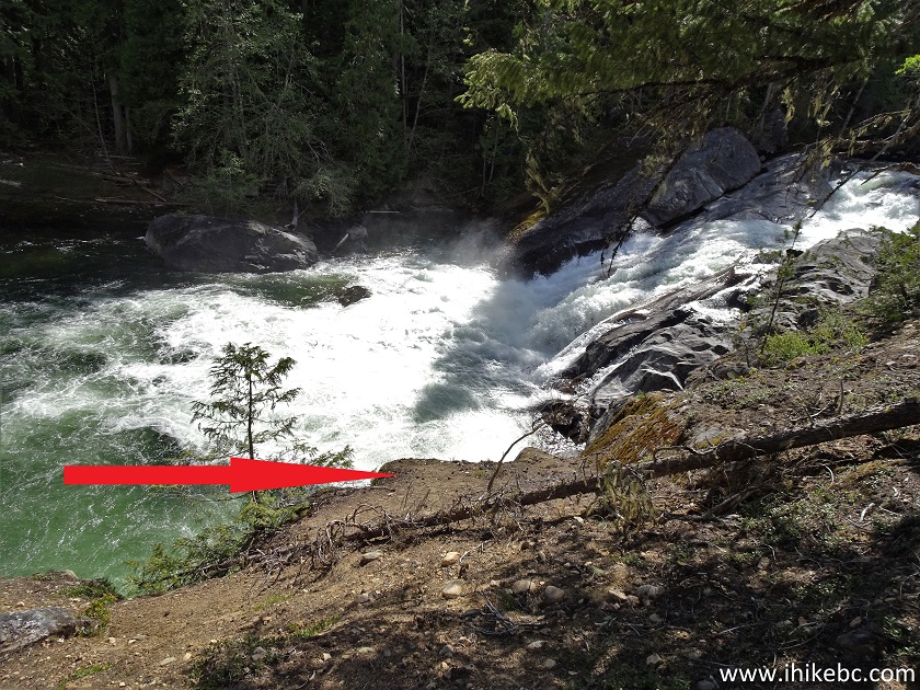
Lower Mehatl Falls Especially Dangerous Spot
Here is our video of Lower Mehatl Falls.
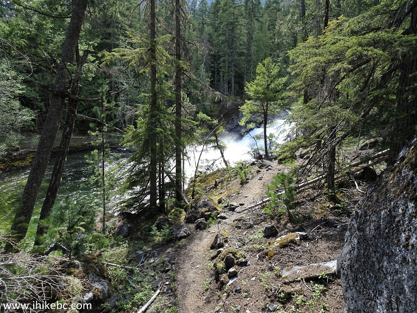
25. The Lower Mehatl Falls is alright, but it's the Upper Falls which makes this hike. Here we are en route to the second observation area, located about 70 meters further from the Lower Falls.
Mehatl Falls Hiking
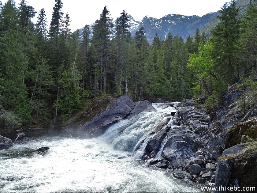
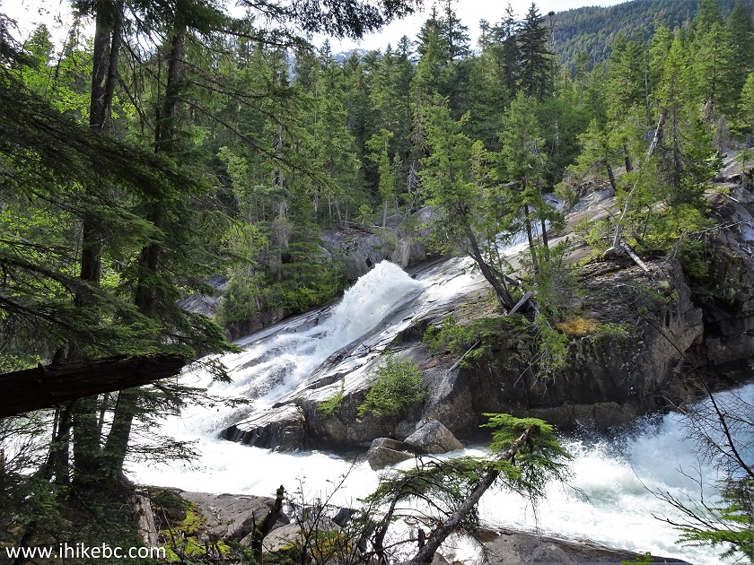
26. From the second observation spot, we can see the Upper Mehatl Falls (on the left) and Mehatl Creek Cascades (on the right).
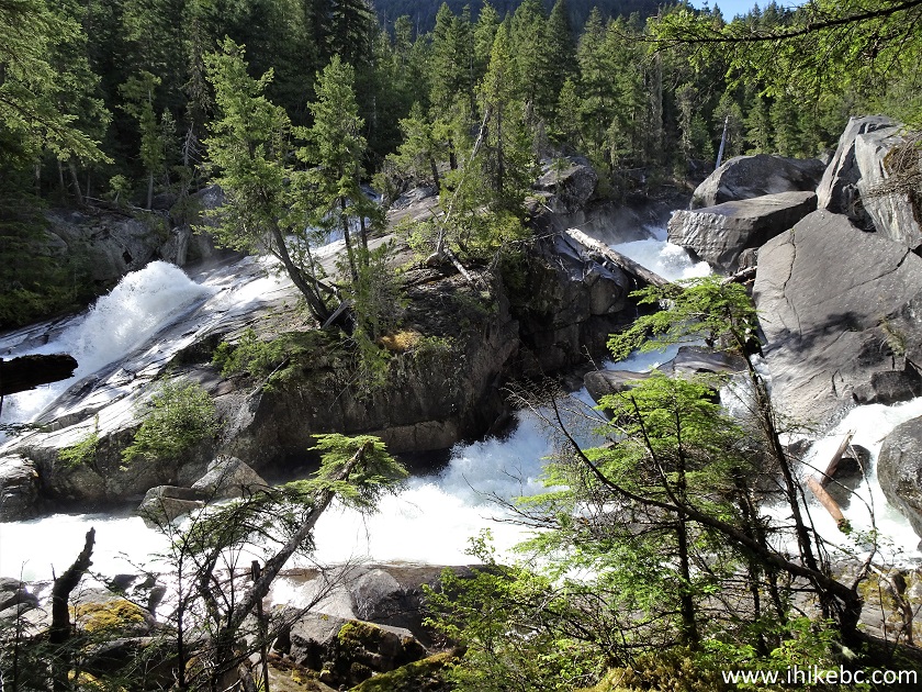
Upper Mehatl Falls and Mehatl Creek Cascades
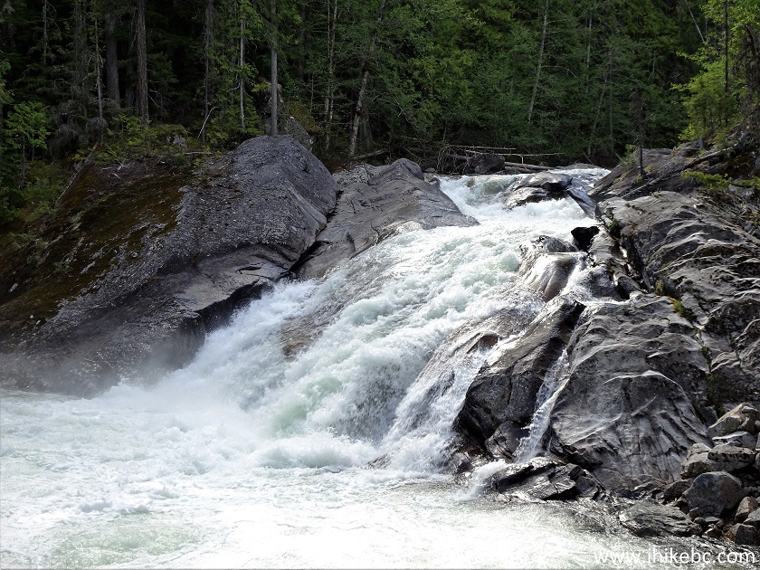
27. Here are the cascades.
Mehatl Creek Cascades
Here is our video of the Cascades and Upper Mehatl Falls (side view).
28. And here is the Upper Mehatl Falls. Quite a peculiar sight, with water shooting up, akin to a broken fire hydrant.
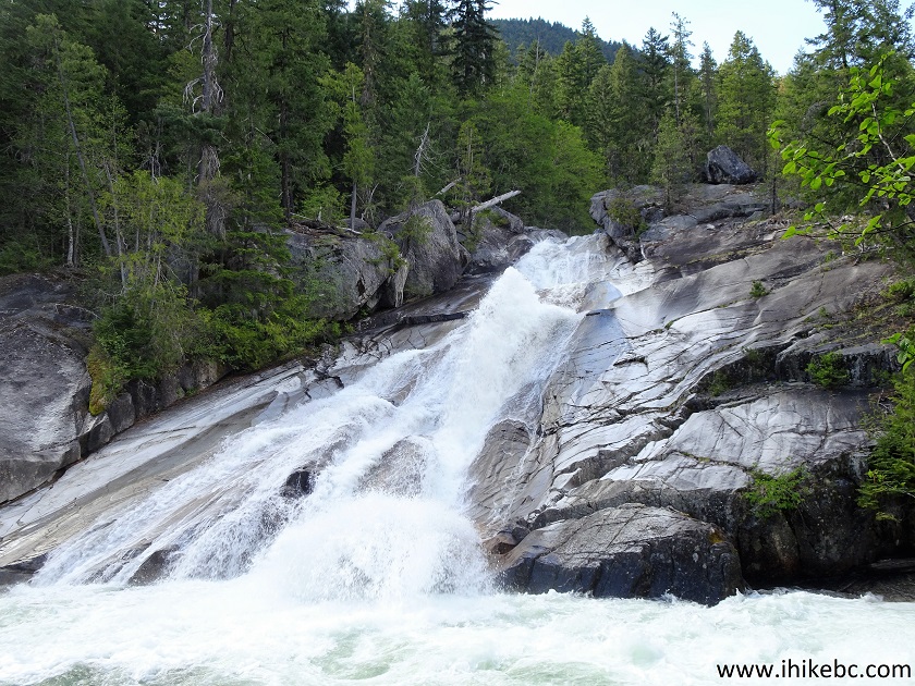
Lower Mehatl Falls
29. The Fire Hydrant Falls?
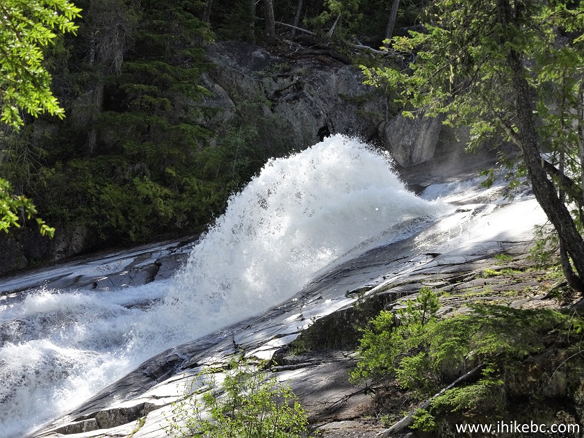
Lower Mehatl Falls Zoomed View
Here is our video of Upper Mehatl Falls.
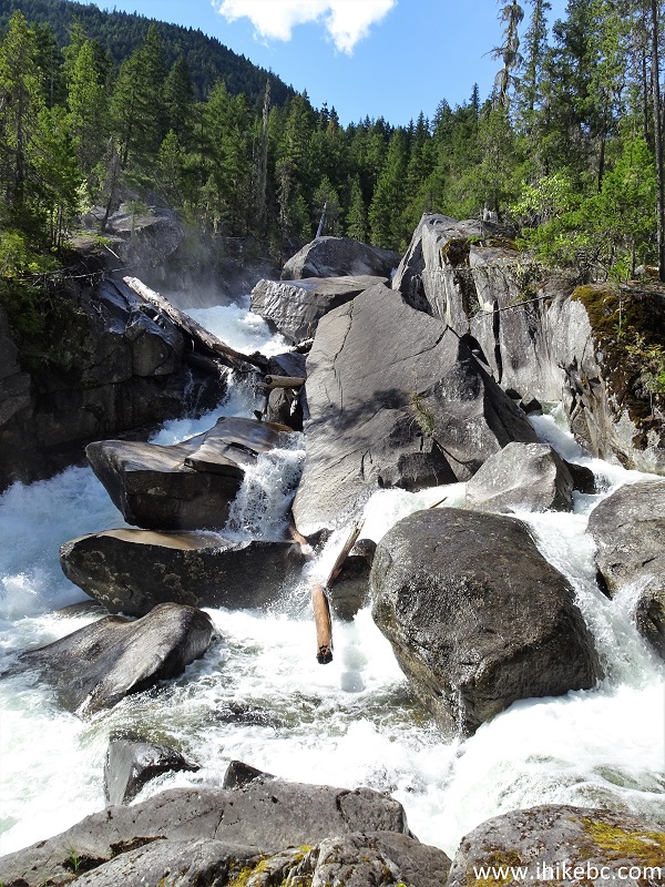
30. We then climbed to the right of the cascades, and took a photo looking back. It's also a dangerous area, with slippery stones right next to the raging creek - watch your step.
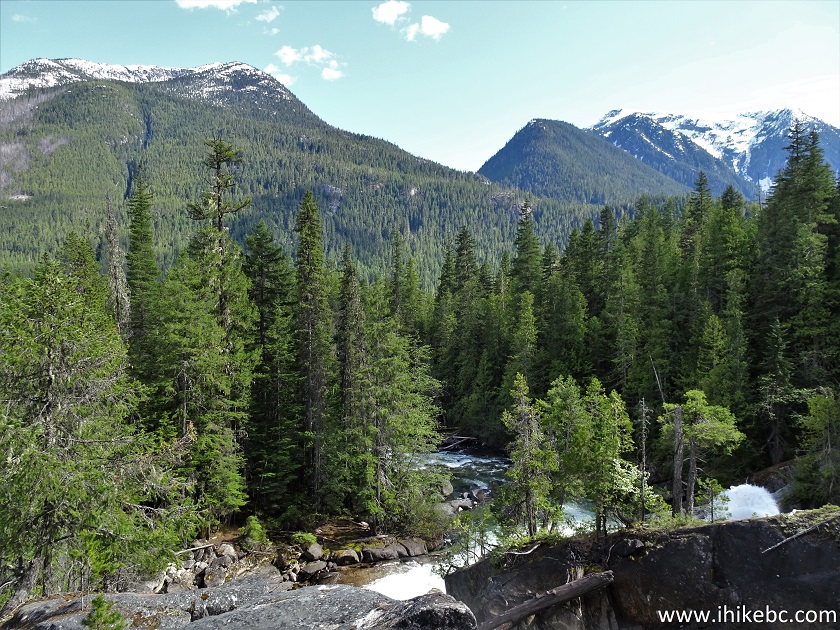
View from Mehatl Creek Cascades Area
Here is our video of the views from this area.
More ihikebc videos are on our YouTube Channel.
Mehatl Falls Trail is easy, and leads to impressive views. Highly recommended.


|
 |
Other Trips:


![]()


![]()
![]()
![]()
ihikebc.com Trip 208 - Mehatl Falls Trail Hike (Off Nahatlatch FSR near Boston Bar BC)