![]()
![]()
![]()

Trip 189 - June 29, 2020 (Monday)
Red Hills Trail Hike
Uncha Mountain Red Hills Provincial Park
Near Burns Lake BC
Liked: Francois Lake views, a fairly easy trail.
Northern BC Backroad Mapbook (3rd edition) Trailhead Coordinates: Page 8 (Francois Lake) B2.
Related Websites: Uncha Mountain Red Hills Provincial Park - BC Parks official site, Francois Lake - Wiki.
Red Hills Trail goes along the Northern shore of a huge Francois Lake. Our 2012 Northern BC Backroad Mapbook (3rd edition) shows a mountain bike symbol next to this trail, and describes the views as great at several locations. The views of Francois Lake are, indeed, quite decent (would have probably been better, if it was sunny). However, our biking plans had to be put aside after the first two kilometers, as the trail is often very overgrown, as well as narrow with steep drop-offs. Perhaps, the later editions of Backroad Mapbook addressed this issue. We stopped hiking just after 4.5 km, as the trail became substantially messed up after a good lake view, where, it appears, most hikers stop as well.
Unless the path gets cleared up, hiking is the only option for Red Hills Trail, which does not seem to be popular at all - a guest book by the trailhead contained not more than ten entries in the last two months, and the grass by the parking area was quite tall and barely touched by vehicle tires. The BC Parks website says that the trail is 5 km long, while 2012 Backroad Mapbook indicates it's 10 km. So, chances are, it used to be 10 km in 2012, then got reduced to 5 km, and now it's good for just over 4.5 km. But, if you want to check out a few good views of Francois Lake, and don't mind dealing with a lot of overgrown parts of the trail, this just might be a worthwhile hike.
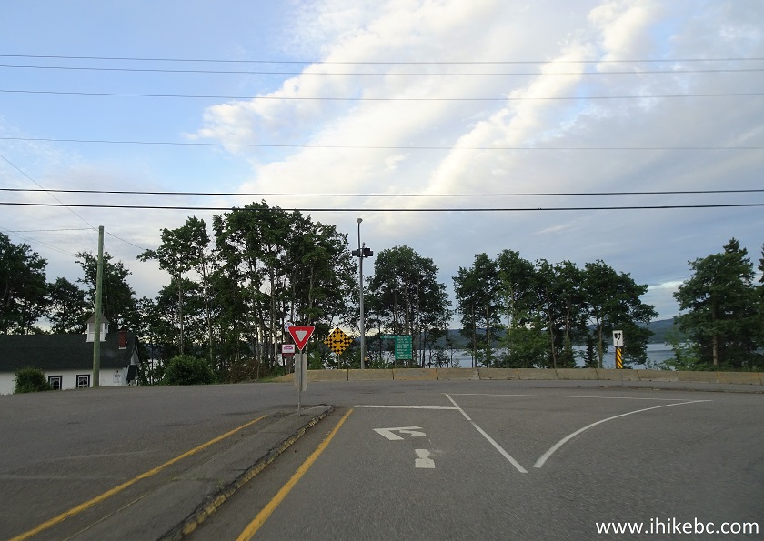
1. It's early morning, and we are Westbound on BC Highway 16, in the village of Burns Lake, getting ready to turn left (South) onto Highway 35. A sign indicates that Francois Lake is in that direction.
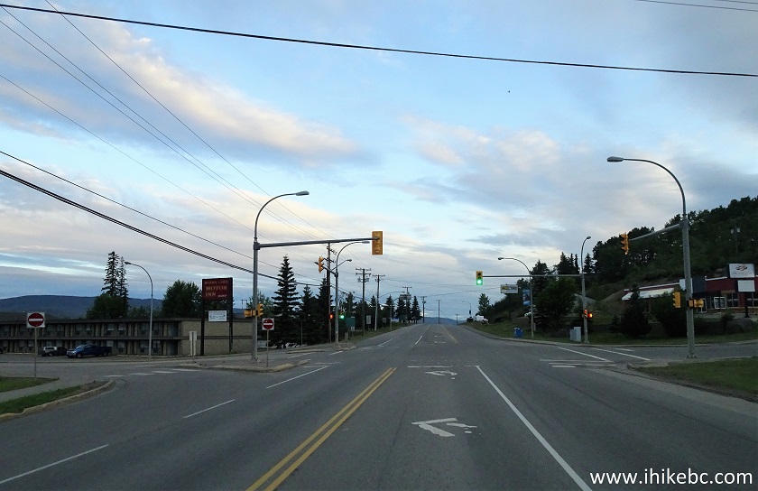
BC Highway 16 at BC Highway 35 in Burns Lake British Columbia
2. BC Highway 35 immediately after turning from Highway 16.
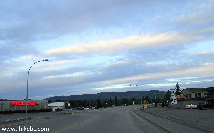
Highway 35 Burns Lake BC
3. There is not much to see on Highway 35 until it ends at Francois Lake.
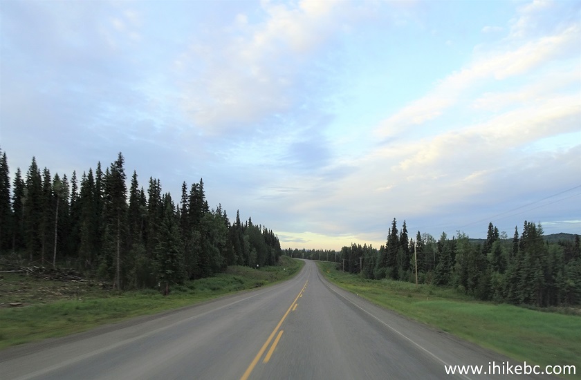
BC Highway 35
4. Approaching unincorporated community of Francois Lake, and the likewise named lake.
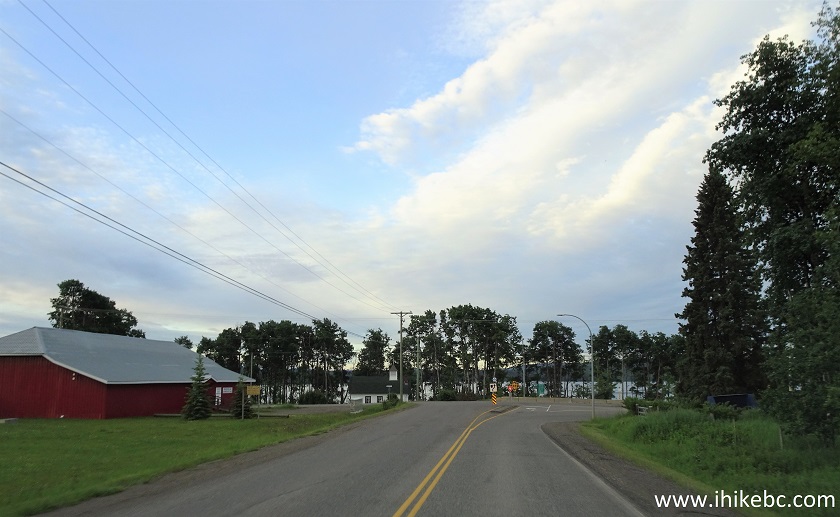
BC Highway 35 at Francois Lake
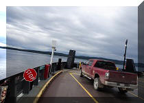
5. Here is the end of Highway 35, 22.8 km from where it started in Burns Lake. Turning right at this T-junction would lead to Francois Lake ferry (the subject of our next trip report) in less than a kilometer. But we need to turn left onto Francois Lake East Road, in order to get to Red Hills trailhead.
BC Highway 35 at Francois Lake East Road
6. Francois Lake East Road after turning left.
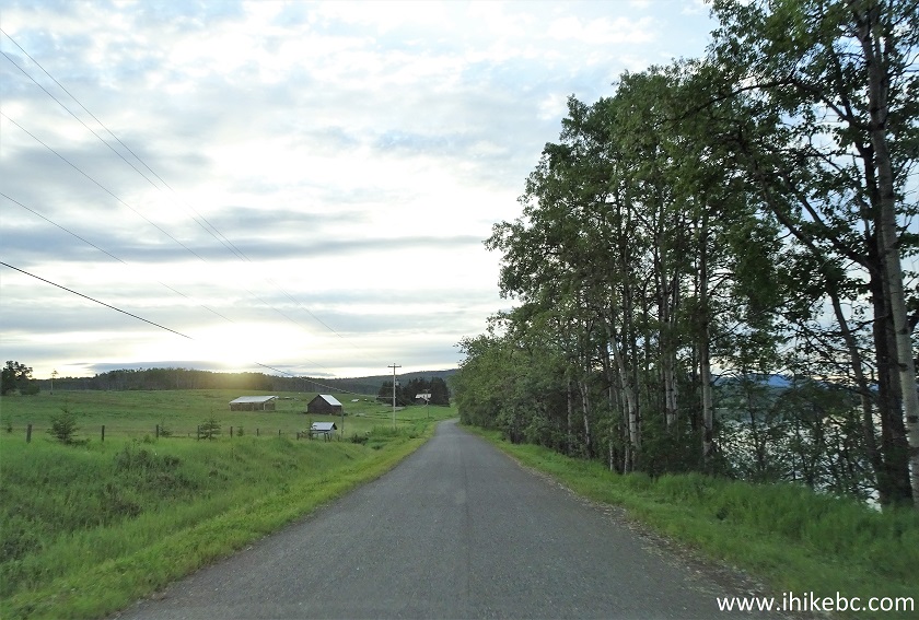
Francois Lake East Road
7. The end of maintained public road arrives at 28.3 km from Burns Lake (5.5 km from the T-junction). The road up to this point is wide and in good shape. After that and until it ends inside the Uncha Mountain Red Hills Provincial Park 3.4 km later, the road becomes rough, winding and narrow, but is still suitable for all regular clearance vehicles.
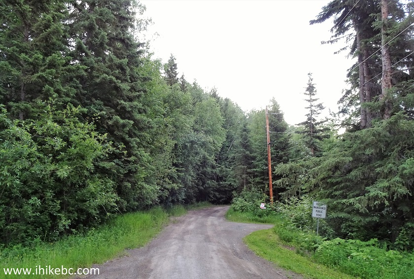
Francois Lake East Road near Burns Lake BC Canada
8. Here is that rough, narrow, and winding road.
Francois Lake East Road near Burns Lake British Columbia Canada
9. We are almost there. The trailhead is straight ahead 100 meters away, and, to the right, are some residences.
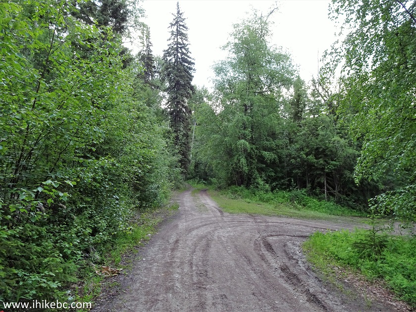
Francois Lake East Road
10. Approaching the trailhead (seen on the left side), 31.7 km from Burns Lake (8.9 km from the T-junction).
Uncha Lake Red Hills Provincial Park British Columbia Canada
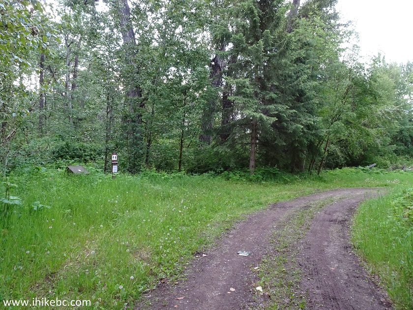
11. Here it is. Coordinates: N 54⁰02’397’ W 125⁰37.048’. Elevation: 719 meters. A trashcan and a pit toilet are located nearby.
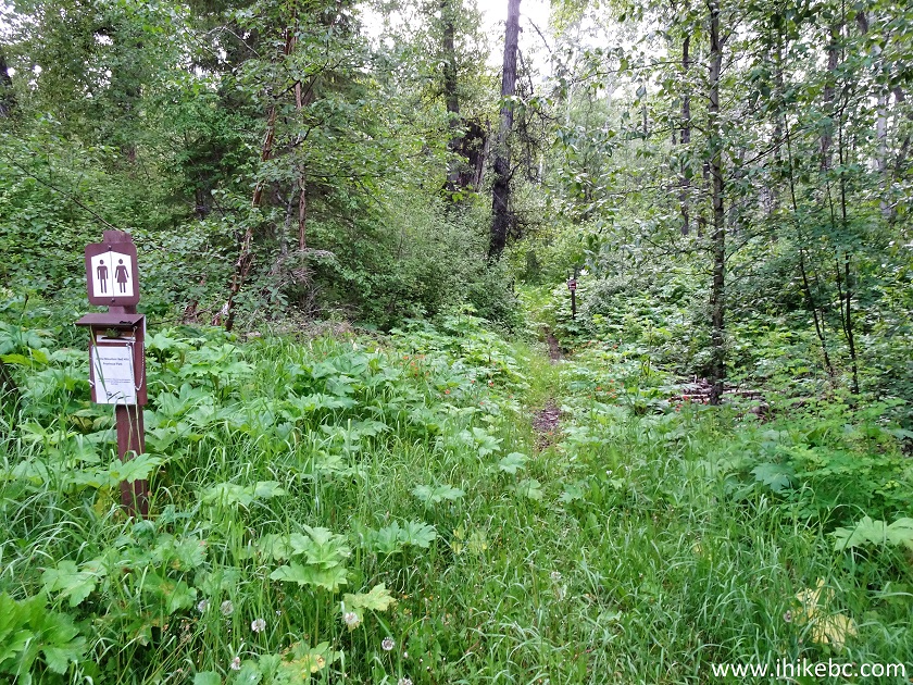
Red Hills Trailhead
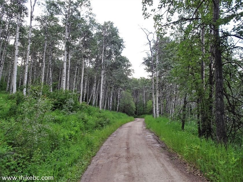
12. We started biking, and it was alright at first - the trail was narrow and quite slippery from all the recent rains, but with few stones and rocks, and easy to see.
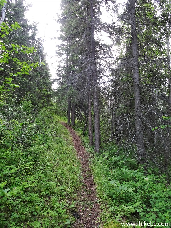
Burns Lake Trail - Red Hills Trail
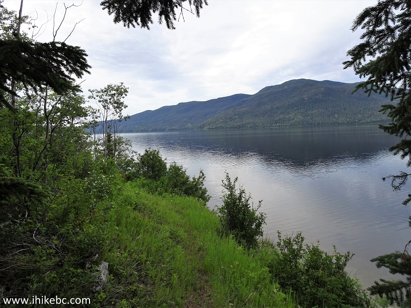
13. The first good lake view is at the 1 km mark, about 15 meters to the right of the trail through some vegetation. All trail distances are based on a GPS odometer and are approximate.
Francois Lake British Columbia
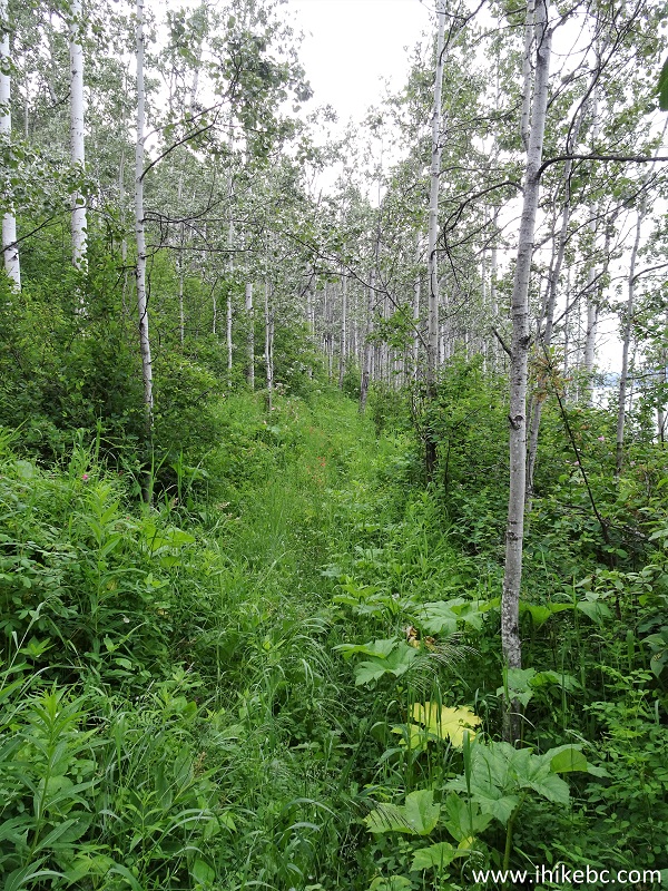
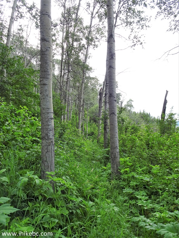
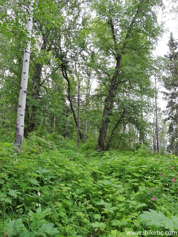
14. Soon, the trail became quite overgrown in places, making it unsafe to bike due to the hidden obstacles.
Red Hills Trail - Burns Lake Hiking
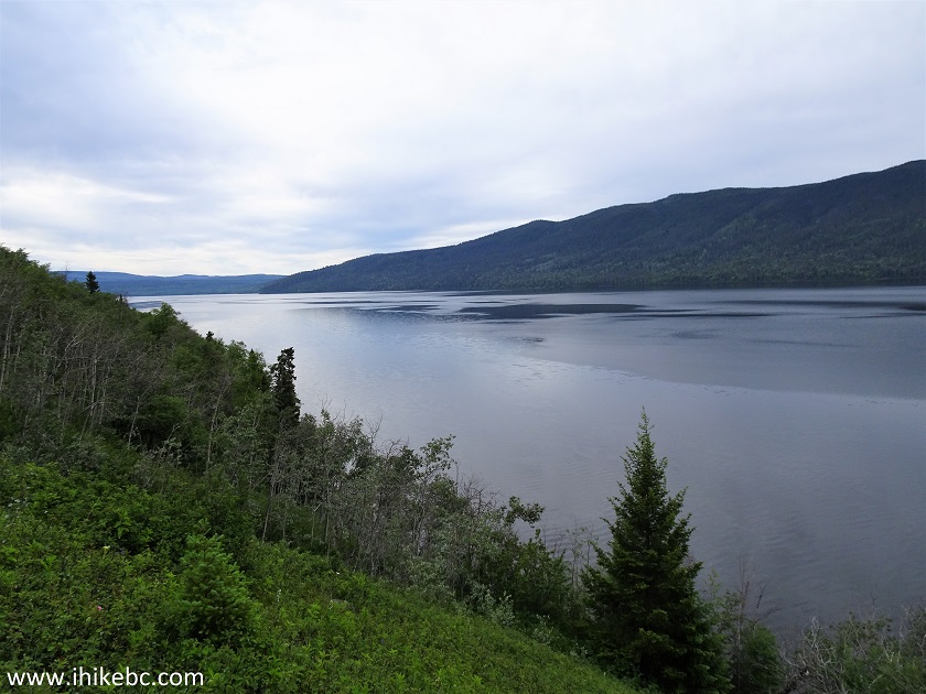
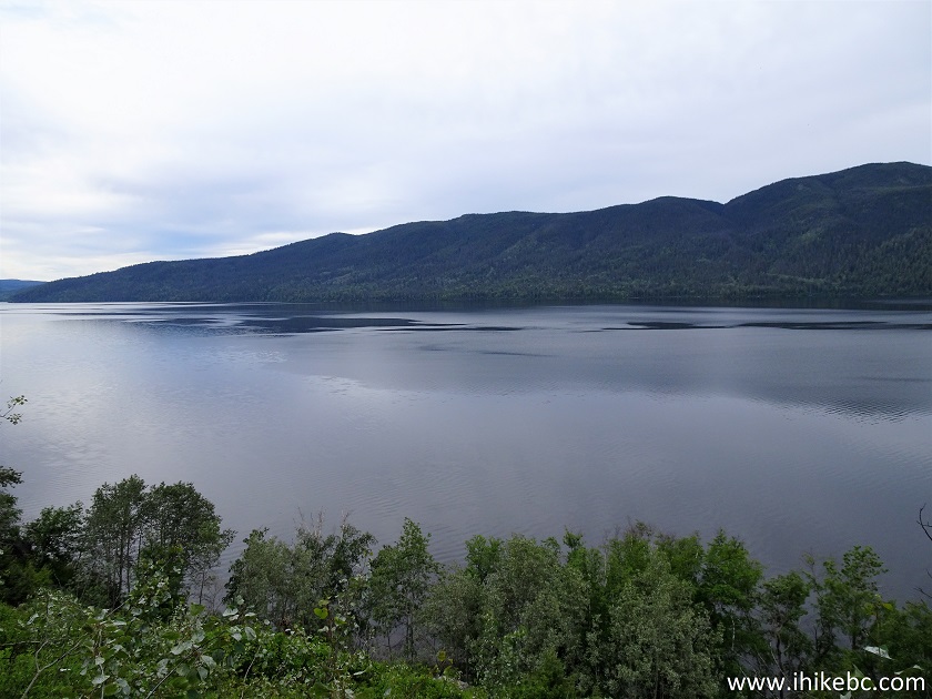
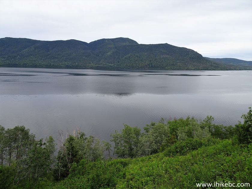
15-18. The second good Francois Lake view is at 1.7 km. Left to right.
Red Hills Trail View - Hike in Burns Lake Area
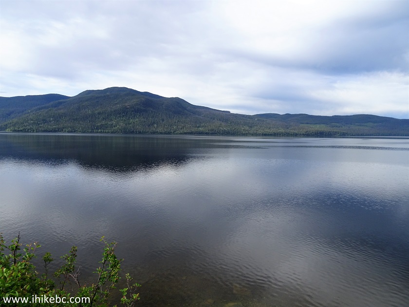
Francois Lake BC Canada
Francois Lake
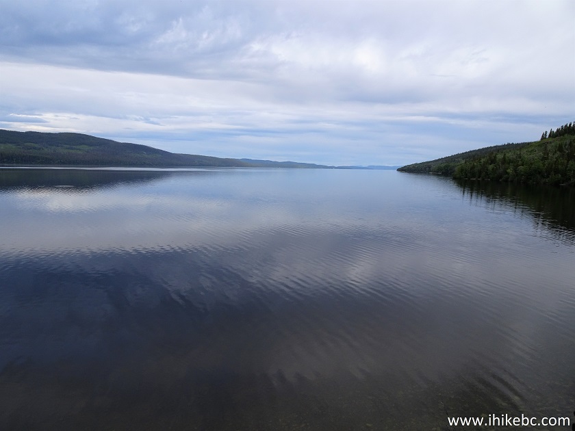
Francois Lake British Columbia
19. We left our bicycle behind at about the 2 km mark, as the trail became even more overgrown.
Trail in Burns Lake Area - Red Hills Trail
20. A small stone field followed shortly.
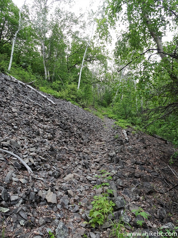
Red Hills Trail - Hike in Burns Lake Area
21. And, then, more vegetation covering the trail.
Uncha Mountain Red Hills Provincial Park
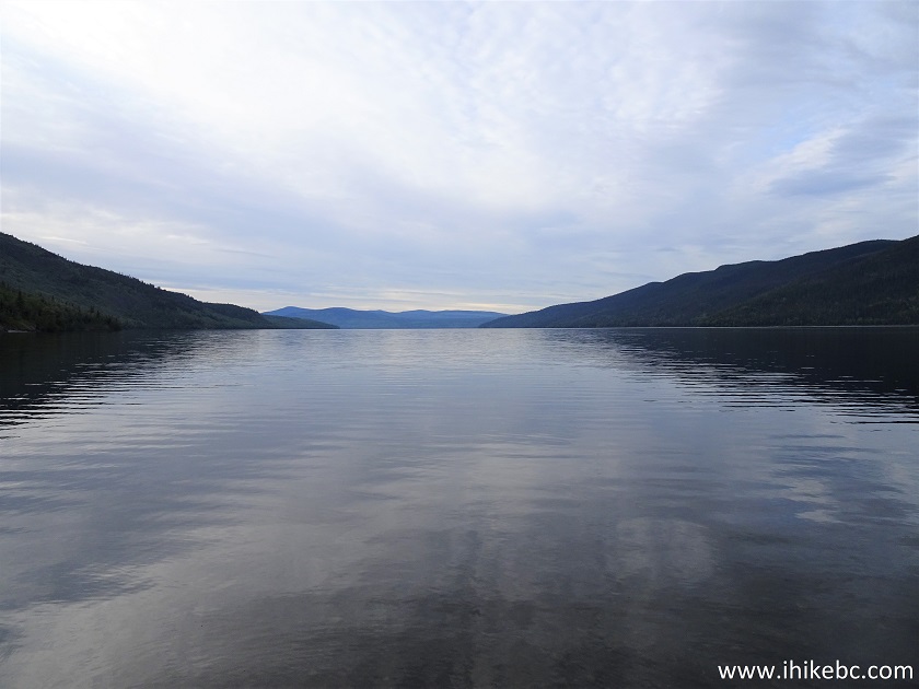
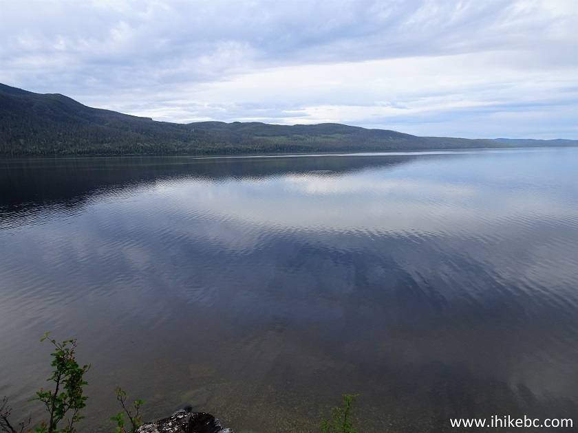
22-25. There is an open area at about the 4.5 km mark of the trail, with a very good view of the lake. Left to right. Coordinates: N 54⁰01.523’ W 125⁰33.590’. Elevation: 753 meters (34 meters elevation gain from the start of the trail).
Francois Lake seen from Red Hills Trail - Hiking in Burns Lake Area
Francois Lake British Columbia
Francois Lake near Burns Lake BC
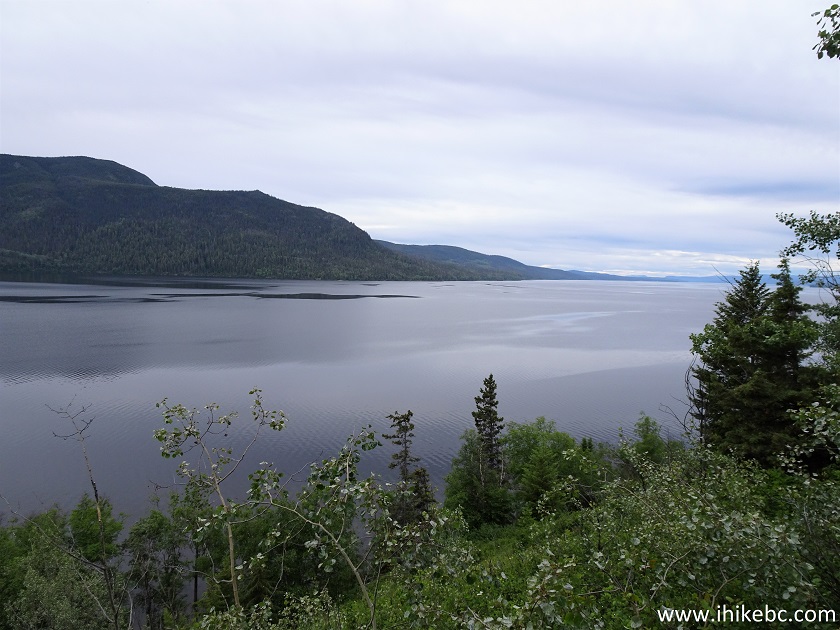
Francois Lake
Here is our video of the views from this location.
More ihikebc videos are on our YouTube Channel.
26. We then went ahead for about 300 meters, but the trail became even more difficult due to the overgrowth and windfall, so we called it a hike. Here is a photo of some local residents we took on the way back.
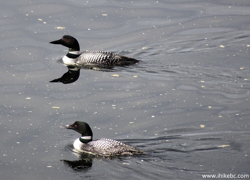
Francois Lake
Loons
If you want to check out good Francois Lake views and do not mind the conditions, Red Hills Trail is where it's at.


|
 |
Other Trips:


![]()
![]()
![]()
ihikebc.com Trip 189 - Red Hills Trail Hike (near Burns Lake BC)