![]()
![]()
![]()

Trip 176 - August 13, 2019 (Tuesday)
Viewland Mountain Trail Hike
Near Horsefly BC
Location: South-Central British Columbia, approximately 26 kilometers East of the settlement of Horsefly, which itself is located about 50 kilometers East of BC Highway 97 near 150 Mile House / Williams Lake.
Liked: Horsefly Lake view, shade in the forest, few bugs.
Of Note: The views are mostly overgrown, and there won't be much left to see in 10-15 years. Several steep sections. Hiking poles and boots are recommended.
Cariboo Chilcotin Coast BC Backroad Mapbook (4th edition) Trailhead Location Coordinates: Page 30 (Horsefly) E1.
Viewland Mountain Trail is located off Horsefly Lake Road. The access to the trailhead is easy, and could be tackled by just about any vehicle. It's a very short trail (about 1.5 hrs round trip), and leads to mostly overgrown views of Horsefly Lake. Better views of Horsefly Lake (and a shorter trail) can be had at Horsefly Lake Provincial Park, which is 12 kilometers closer to Horsefly. Viewland Mountain Trail is a good exercise going up and down the mountain, if nothing else.
1. We are driving on Horsefly Lake Road (or it could already be Haggens Point Road [Z road], but it's the same road), with Viewland Forest Service Road turnoff seen on the right side. Check out our Horsefly Lake Road Visit trip report for directions on getting up to this point from BC Highway 97 in 150 Mile House / Williams Lake area. This is the same photograph as photo #16 of that trip report.
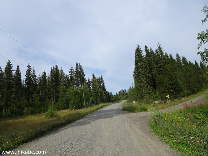
Horsefly Lake Road at Viewland FSR Turnoff near Horsefly British Columbia Canada
2. Viewland Forest Service Road after the turn.
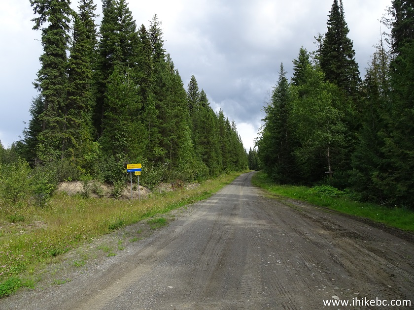
Viewland Forest Service Road
3. Drive on Viewland FSR for 1.4 km, and arrive at the trailhead parking area on the right side.
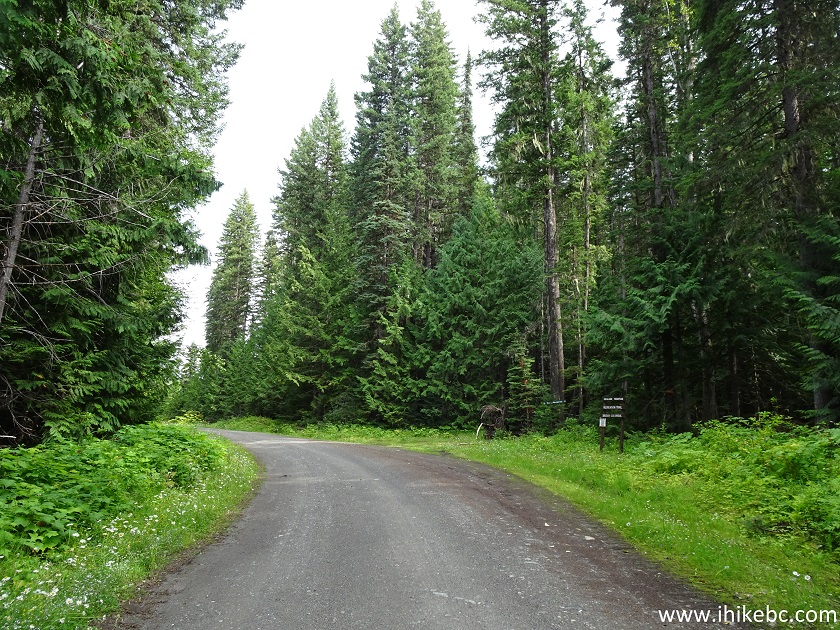
Viewland FSR at Viewland Mountain Trailhead
4. Viewland Mountain trailhead. Coordinates: N 52⁰26.448' W 121⁰10.833'. Elevation: 956 meters.
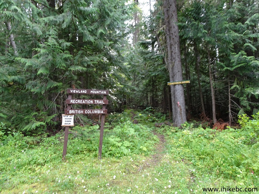
Hiking in Horsefly Area - Viewland Mountain Trailhead
5. The hike begins.
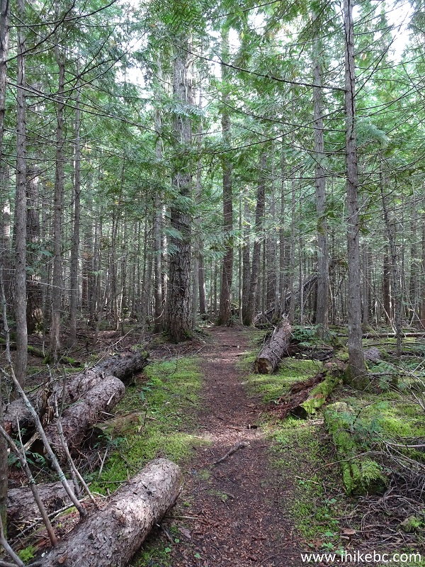
Horsefly Hiking - Viewland Mountain Trail
6. At first, the trail passes through a small logged area.
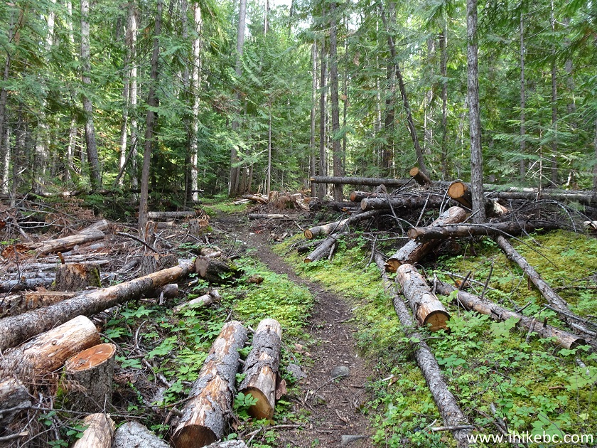
Viewland Mountain Trail - BC Hiking
7. Looking left.
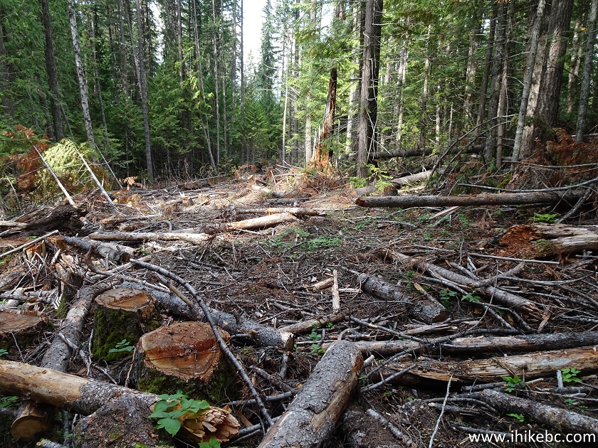
View from Viewland Mountain Trail near Horsefly BC Canada
8. Viewland Mountain Trail is fairly easy, though it does get steeper closer to the end.
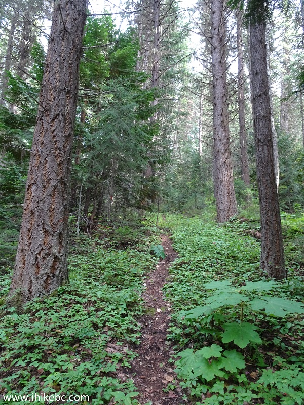
Hiking in British Columbia - Viewland Mountain Trail
9. Here is the steep part.

Viewland Mountain Trail
10. In less than an hour, we are almost at the top.
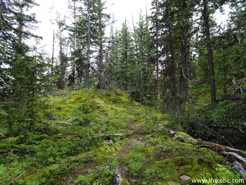
Viewland Mountain Trail - Hike in BC
11. And here is the end of Viewland Mountain Trail. Coordinates: N 52⁰25.807' W 121⁰09.964'. Elevation: 1,309 meters (353 meters elevation gain from the start of the trail). It took us 56 minutes to get here. The total distance was 2.3 km.
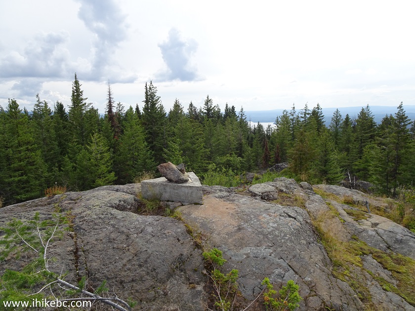
End of Viewland Mountain Trail - Horsefly Hiking British Columbia Canada
12. There is a picnic table on top of the mountain.
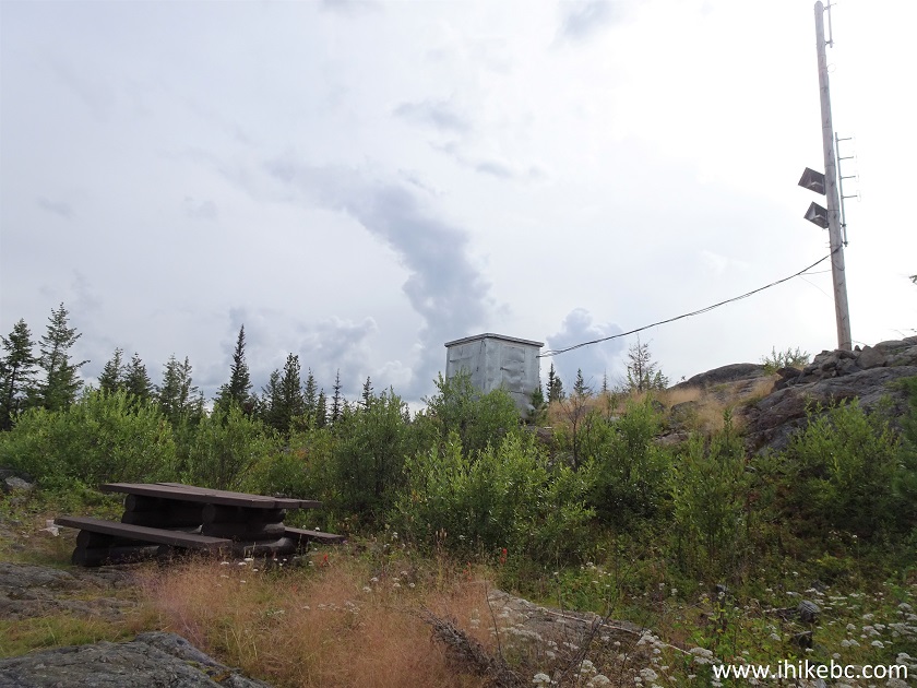
Picnic Table on Viewland Mountain near Horsefly BC
13. As well as some equipment.
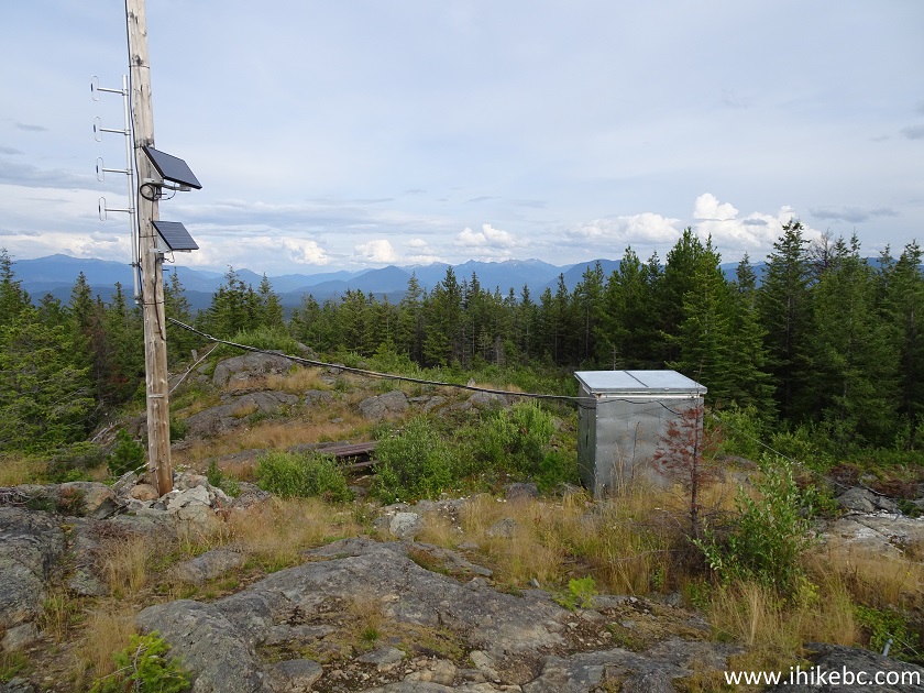
Viewland Mountain
14. Alas, the views are mostly obstructed by the trees.
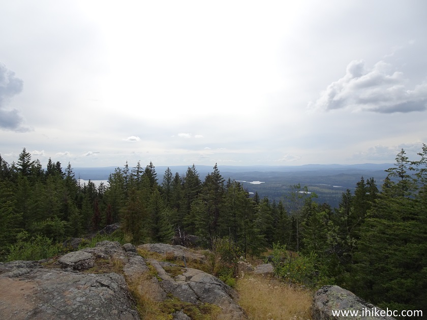
Obstructed view from Viewland Mountain
15. Here is the only unobstructed view of Horsefly Lake, and it will be gone in 10-15 years, as fir trees are getting taller by the minute.
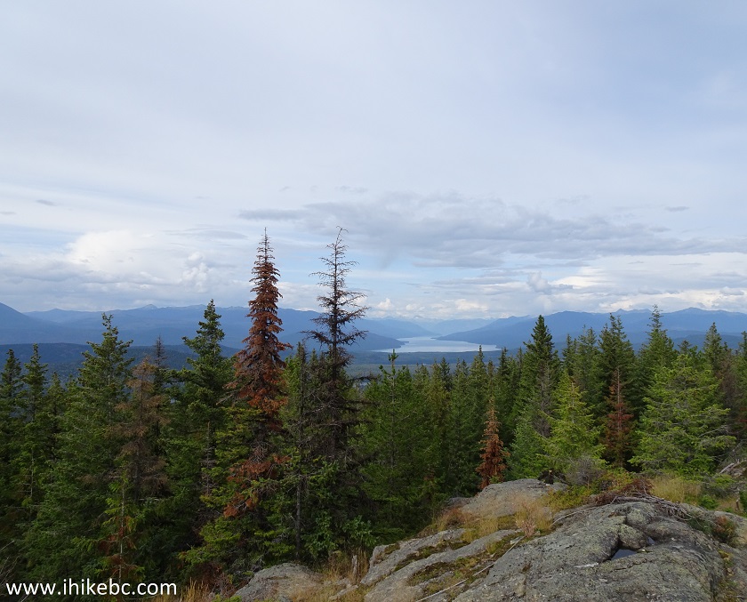
Horsefly Lake seen from Viewland Mountain
16. Now with a zoom.
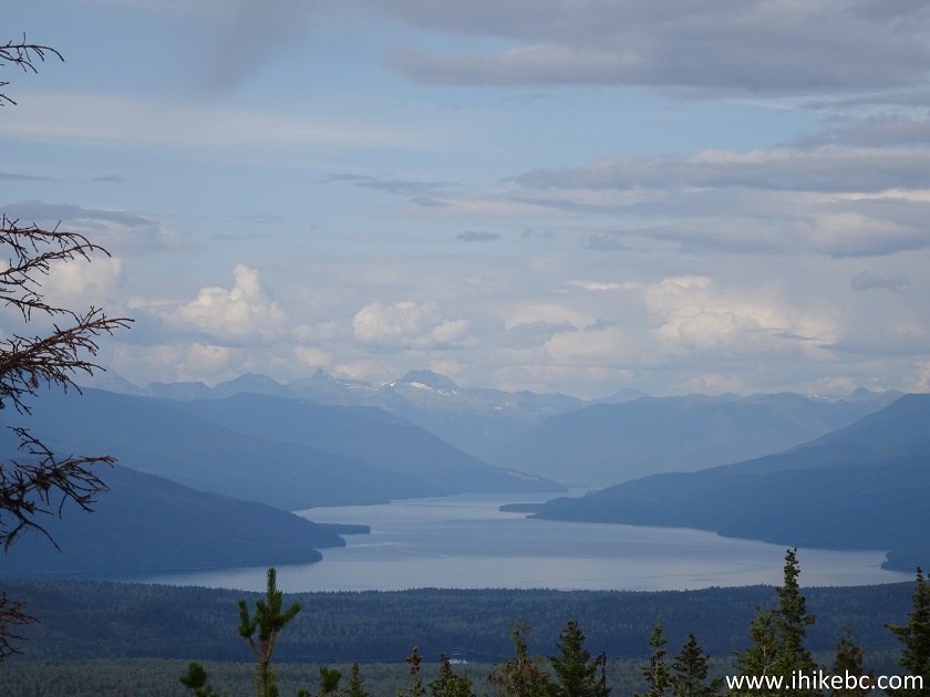
Horsefly Lake British Columbia Canada
Here is our video of the views from this location.
More ihikebc videos are on our YouTube Channel.
Viewland Mountain Trail is a good workout, and it still has a half-decent view. Plus, a picnic table on top of the mountain.


|
 |
Other Trips in Horsefly BC Area:
|
Horsefly Lake Prov
Park
|
|
Other Trips:


![]()


![]()
![]()
![]()
ihikebc.com Trip 176 - Viewland Mountain Trail Hike (Near Horsefly BC)