![]()
![]()
![]()

Trip 286 - June 22, 2023 (Thursday)
Dewdney Peak Trail North Hike
Near Mission, BC
Page 1 of 2
Of Note: Industrial traffic on Norrish FSR, high theft area by the trailhead, remote traffic noise for most of the trail, frequent single engine airplane and helicopter noise, the trail can be a bit hard to follow, some mosquitoes, uneven ground / rocks and roots, several steep sections – hiking poles and boots are highly recommended.
Vancouver, Coast & Mountains Backroad Mapbook (2019 edition) Trailhead Coordinates: Page 3 (Abbotsford) G3.
Follow @ihikebc TweetDewdney Peak Trail is located near Mission BC. The highlights of this 2.2 km (one way) moderately difficult trail (with several steep sections) are a very fine panoramic viewpoint of Fraser Valley, and a neat shack at the apparent end of the trail.
This trail has two trailheads (North and South), which end up meeting at some point, and then carry on as one trail. Both trailheads are located on Norrish Forest Service Road, separated by a distance of 1.3 km. It is thus possible to make it a loop hike by starting at one trailhead, finishing at another, then hiking for 1.3 km on Norrish FSR back to your vehicle (or have a second vehicle and do a shuttle).
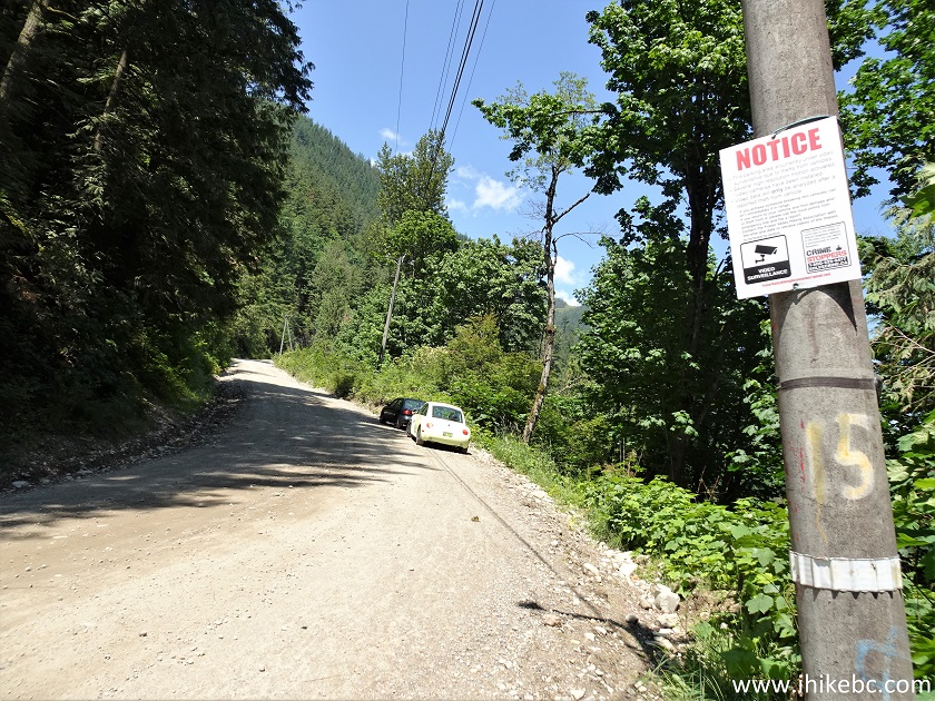
Norrish FSR is in good shape, though has industrial traffic present. Also, there are several posters by both North and South trailheads warning of a high theft hazard, and that motion detection cameras are installed to capture illegal activity. We do not recall ever seen motion detection cameras at any trailhead - is it really that bad there?
Anyway, today we hiked the North trail, and cannot even recall the point at which the South trail joined the North one. There are many splits and junctions, and the trail was not marked well, so bring a GPS in case you need to retrace your steps. Our photo directions cover the key points, and the trail is not very long, so it's not likely that you would get badly lost.
The condition of Dewdney Peak North Trail is fairly decent, with a few slightly overgrown areas. We ended up hiking to the shack, which definitely looked like a trail end. But, apparently, the trail continues after that, albeit in a much worse shape, so you might be able to go even further.
1. Here are Google Maps directions from Mission to Norrish FSR.
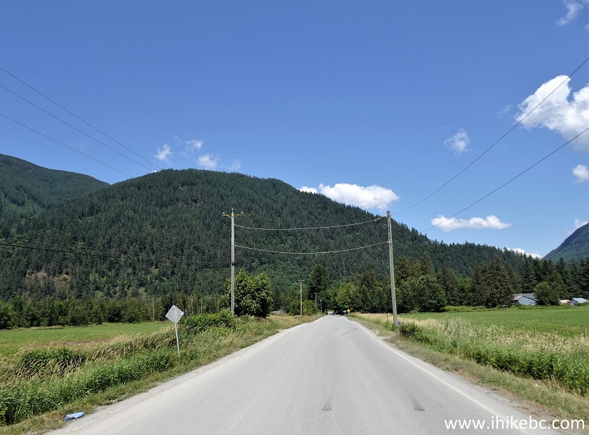
2. We are Eastbound on BC Highway 7, with Mission about 20 km behind us. Approaching an intersection where a right turn is needed to continue on Highway 7, but we need to go straight.
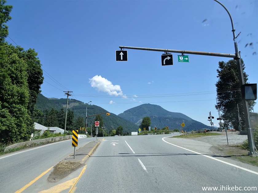
BC Highway 7 Eastbound near Deroche BC
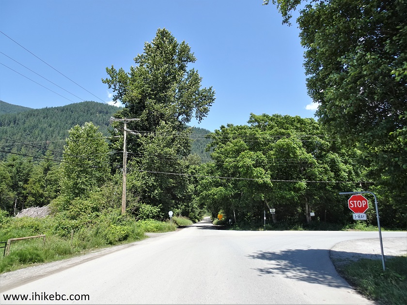
3. Now at a stop sign before starting to drive on Hawkins-Pickle Road.
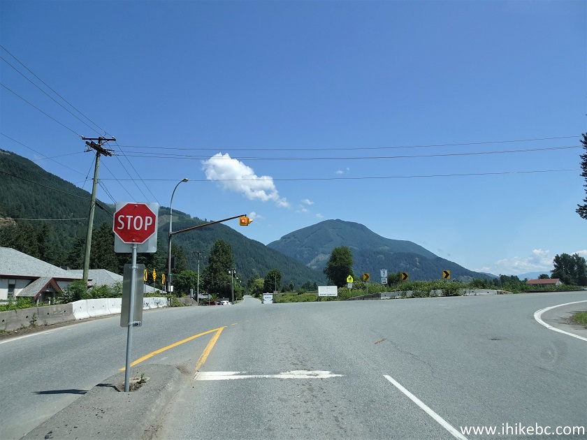
BC Highway 7 at Hawkins-Pickle Road
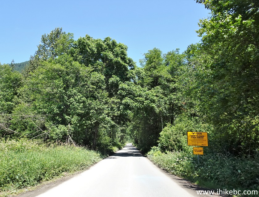
4. Driving on Hawkins-Pickle Road.
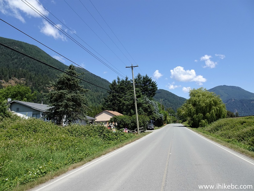
Hawkins-Pickle Road near Mission BC Canada
5. Passing by Catherwood Road 1.5 km from Highway 7.
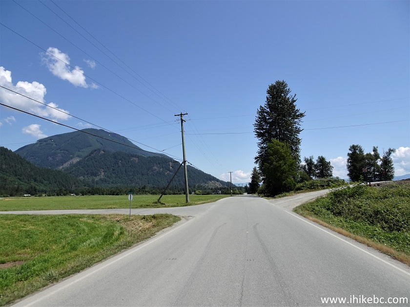
Hawkins-Pickle Road at Catherwood Road
6. At about the 2.4 km mark, Hawkins-Pickle Road makes a right turn and crosses a rail track. Keep going straight. This is now Bell Road.
Bell Road near Deroche BC
7. At a stop sign 2.9 km from Highway 7. Bell Road makes a right turn here. But we need to go straight onto Norrish Forest Service Road.
Bell Road at Norrish FSR
8. Now on Norrish Forest Service Road.
Norrish Forest Service Road
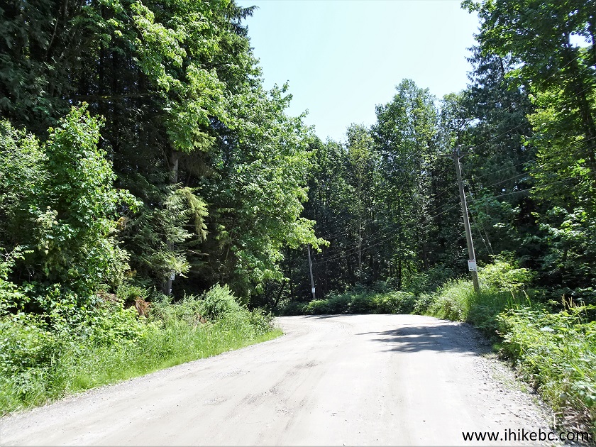
9. At 3.6 km from Highway 7, asphalt ends, and packed gravel begins. The road is in good shape all the way to the North trailhead.
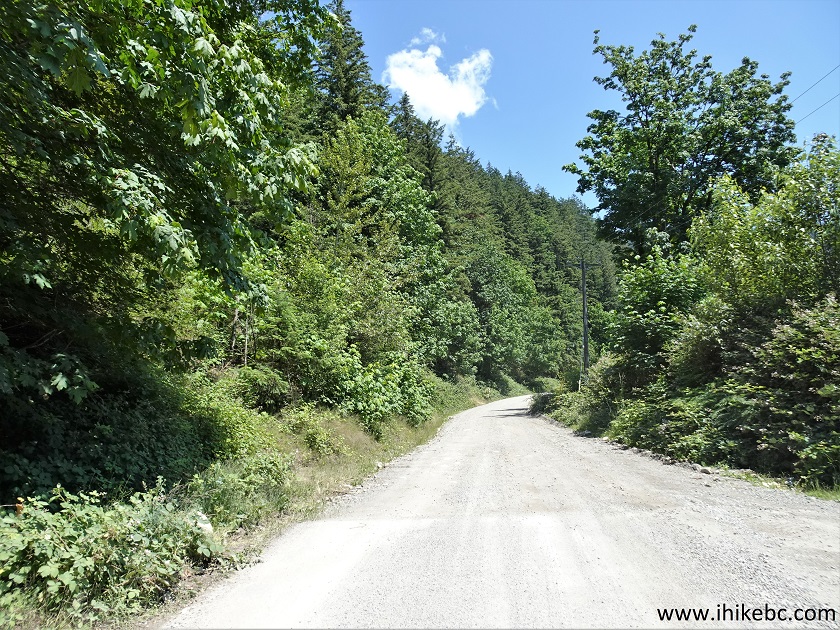
Norrish FSR
10. At 4.0 km (1.1 km after the start of the FSR) there is actually a sign for Norrish Forest Service Road, and it looks like this is the official start of this FSR.
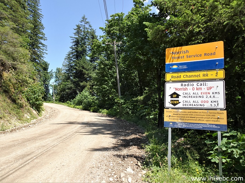
Norrish Forest Service Road sign
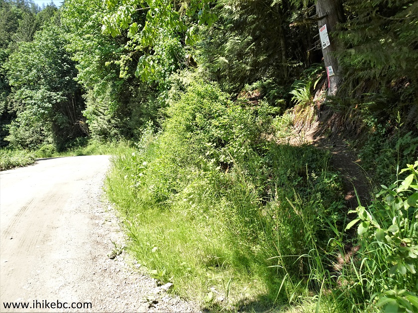
11. Just 100 meters later is the parking area for the Dewdney Peak Trail South. Notice the "high theft area" warning sign.
Dewdney Peak Trail South parking area
12. Here is the South trailhead on the left side of the road.
Dewdney Peak Trail South trailhead
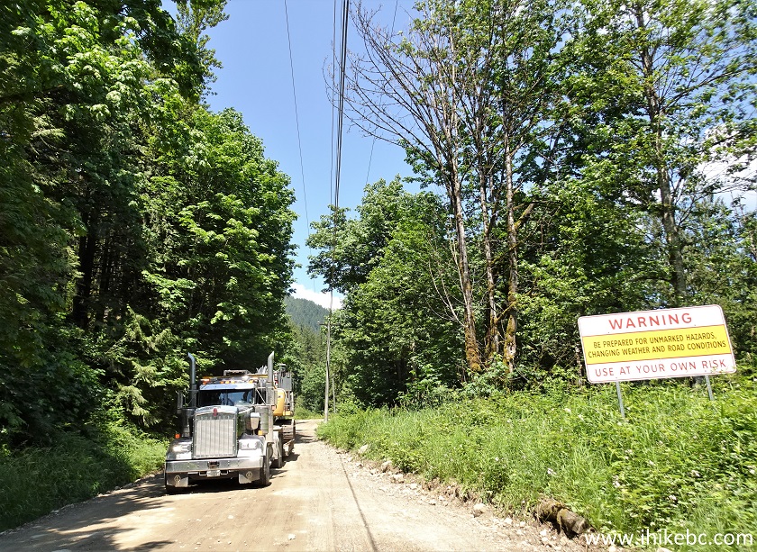
13. At 4.5 km from Highway 7, we met a large truck. Good thing there was a pullout there.
Norrish FSR near Mission BC Canada
14. Norrish FSR 300 meters later.
Norrish FSR British Columbia
15. Now approaching North trailhead parking area. Same "high theft area" notices are present. Three of them, actually.
Norrish Forest Service Road near Mission British
Columbia Canada
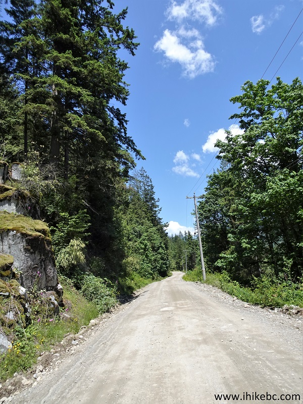
16. And here is Dewdney Peak Trail North trailhead, 5.4 km from Highway 7, and 2.5 km from Bell Road. Coordinates: N 49⁰11.603' W 122⁰09.511'. Elevation: 160 meters. Looking back.
Dewdney Peak North Trailhead
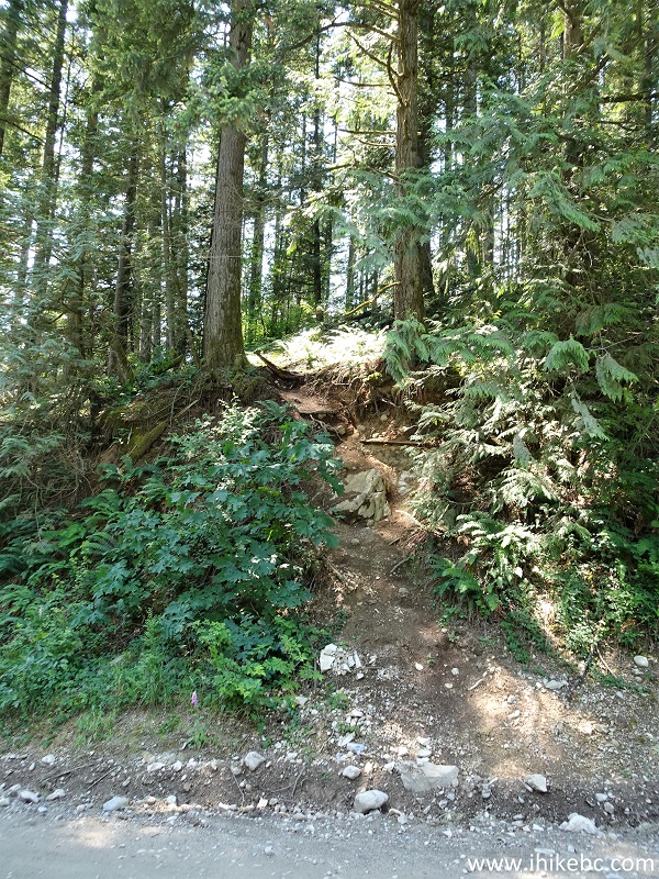
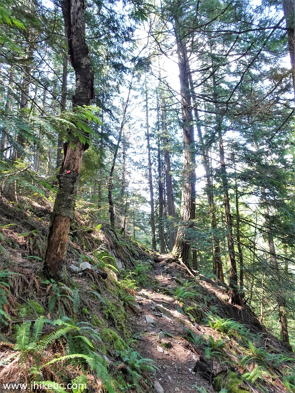
17. Off we go. Now at 120 meters of Dewdney Peak Trail North.
Dewdney Peak Trail North
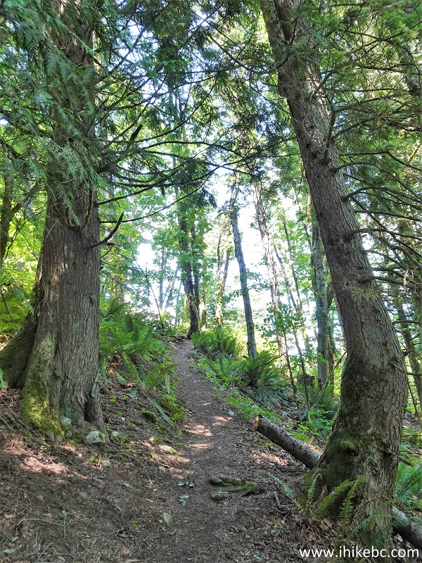
18. A neat "alley" of sorts for a few hundred meters comes shortly. At 350 meters here.
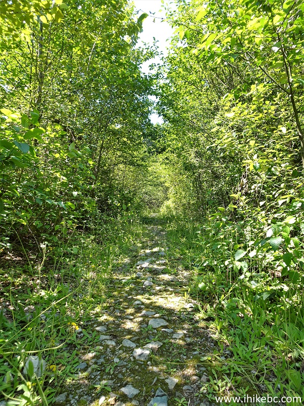
Hiking in Mission BC Area - Dewdney Peak North Trail
19. At 450 meters of Dewdney Peak Trail North.
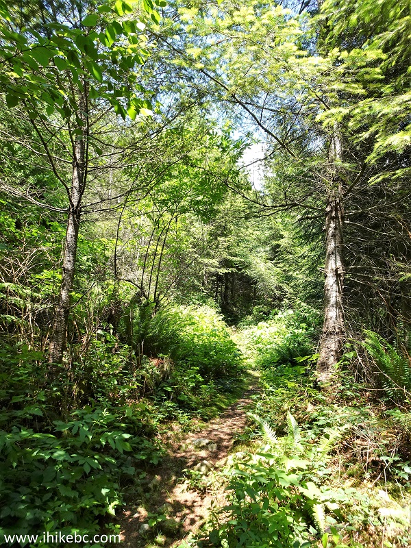
Trail in Mission BC Area - Dewdney Peak North Trail
20-21. At 700 meters, there is a split. Coordinates: N 49⁰11.726' W 122⁰09.832'. Elevation: 295 meters. Turn right.
Dewdney Peak Trail near Mission BC Canada
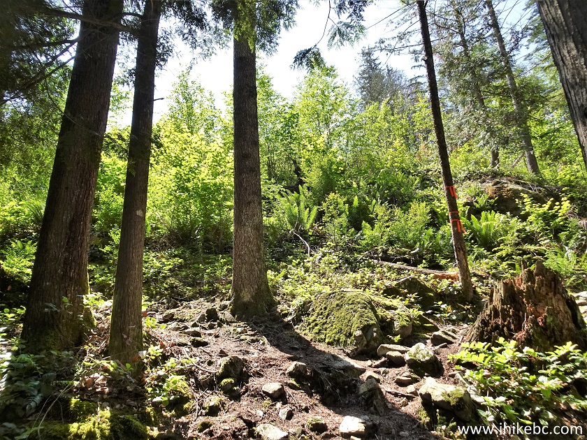
21. Things start getting steep here. At 800 meters of the trail.
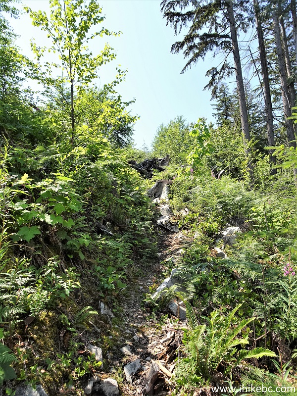
Dewdney Peak Trail in Mission BC Area
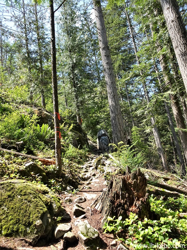
22. At 820 meters, there is a complicated area for navigation, unless you know exactly where to go. Make a right turn here, followed by an almost immediate left turn.
Dewdney Peak Trail North - British Columbia Hiking
23. Dewdney Peak Trail North after an almost immediate left turn. Steep.
Hiking in Canada - Dewdney Peak Trail North
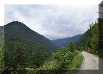
24. At 900 meters, looking back we get the first good view of the hike.
Hike in British Columbia
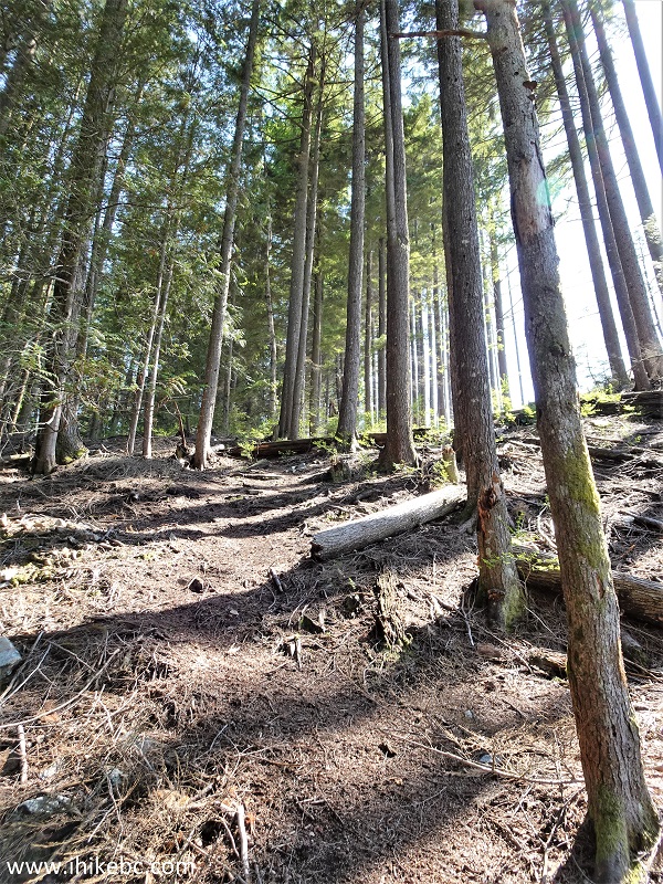
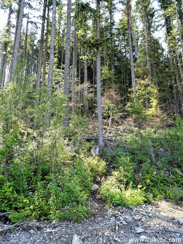
25. At 1.02 km, the trail continues in a fine forest.
Dewdney Peak Trail Hike
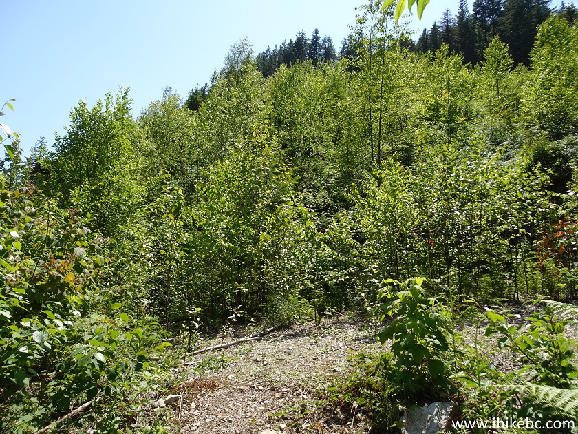
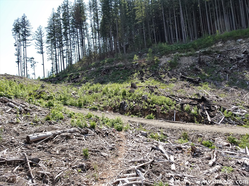
26. At 1.1 km, we have reached a logged area where trail finding was a bit tricky, but manageable. Basically, keep left and reach a logging road.
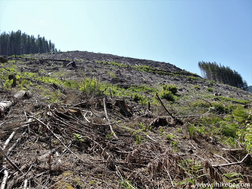
Dewdney Peak Hike in Mission British Columbia Area
27. Keeping left at 1.2 km of Dewdney Peak Trail North.
Dewdney Peak Trail British Columbia Canada
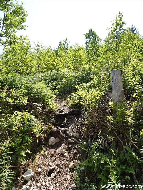
28. You can see the trail sneaking across the logged area.
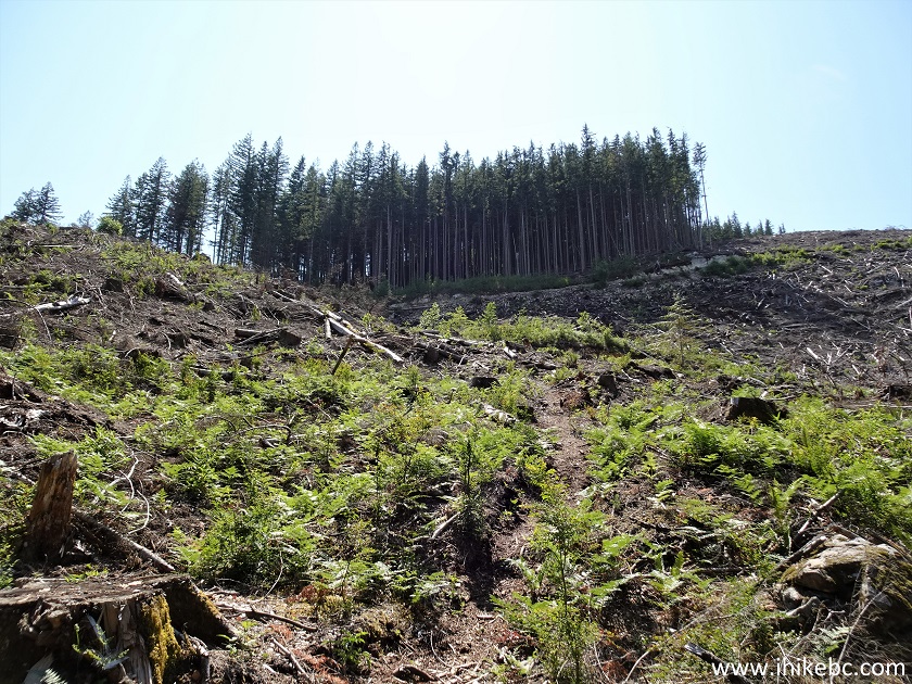
Dewdney Peak North Trail
29. At 1.43 km, we have reached the logging road. Coordinates: N 49⁰11.540' W 122⁰10.153'. Elevation: 540 meters. Turn left.
Hiking in Mission BC Area - Dewdney Peak Trail
30. Go up the road very briefly.
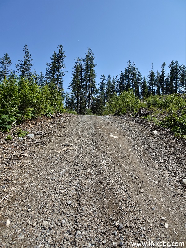
British Columbia Hiking - Dewdney Peak Trail
31. At 1.70 km there is a split. Stay right.
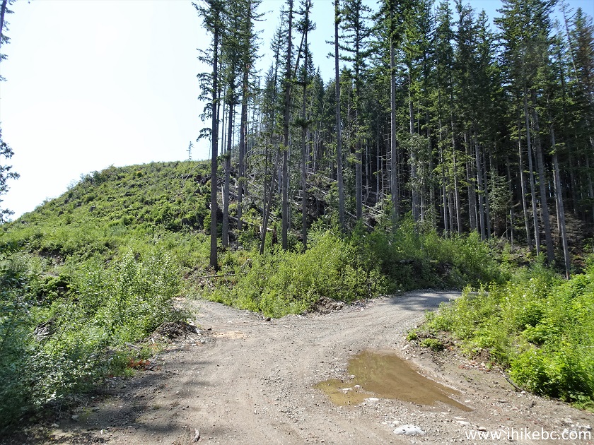
Dewdney Peak Hiking Trail British Columbia
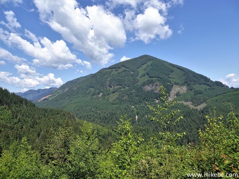
32. Just 100 meters later, a fine view on the right side.
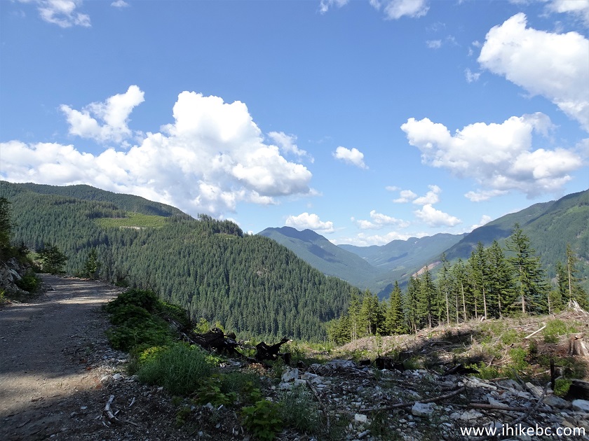
Dewdney Peak Trail Hike in Mission BC Area
33. And, on the left side, at the 1.80 km mark, the trail heads into the woods. Coordinates: N 49⁰11.500' W 122⁰10.196'. Elevation: 560 meters.
Dewdney Peak Hike British Columbia
Our Dewdney Peak Trail North Hike Trip Report Continues on Page 2.


|
 |
Other Trips:


![]()
![]()
![]()
Follow @ihikebc Tweet
ihikebc.com Trip 286 - Dewdney Peak Trail North Hike (near Mission, BC) Page 1 of 2