![]()
![]()
![]()

Trip 124 - May 22, 2017 (Monday)
Quality Falls Trail Hike
Near Tumbler Ridge BC
Location: Northeastern British Columbia. Near Hwy 52 about 105 km
South of Dawson Creek, and 13 km North of Tumbler Ridge.
Liked: The waterfall, short and easy trail.
Of note: The trail is popular.
Northern BC Backroad Mapbook (3rd edition) Approximate Trailhead Coordinates:
Page 44 (Tumbler Ridge) D1.>>> British Columbia Waterfalls Visits.
Quality Falls Trail is short and easy, and leads to a small but fairly neat waterfall. As the parking area for the trailhead is right by Highway 52, and the trail can be tackled by just about anyone, expect not to be alone during your visit to Quality Falls.
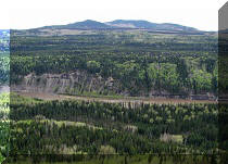
1. We are Southbound on Highway 52 after hiking Murray Canyon Overlook Trail, with likely the same wind turbines on the side of the highway as we have seen in the distance during the Murray Canyon Overlook hike.
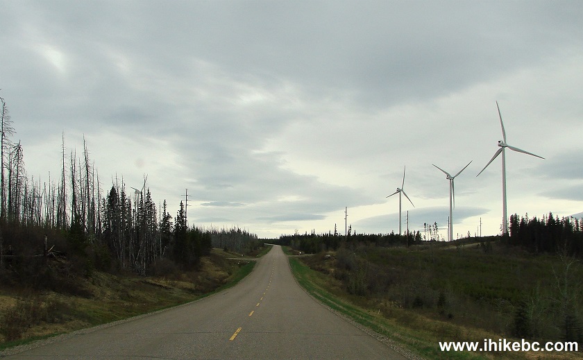
Wind Turbines by
BC Highway 52 near Tumbler Ridge British Columbia Canada
2. Approaching Quality Falls parking area.
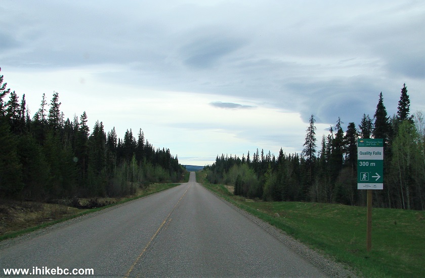
BC Highway 52 by the town of Tumbler Ridge
3. Here is the turnoff. It's 21.8 km past the turnoff from Highway 52 to Murray Canyon Overlook trailhead. Coordinates: N 55⁰09.320' W 120⁰56.392'.
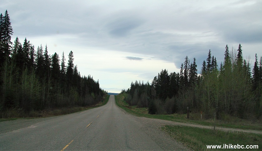
BC Highway 52 at Qualify Falls Trail parking turnoff
4. The parking lot is right there.
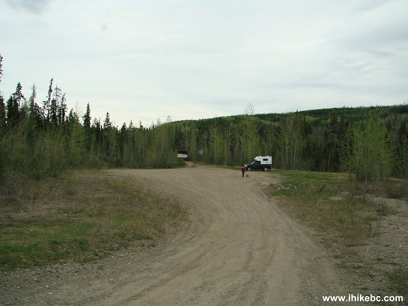
Parking lot for Quality Falls trail by Tumbler Ridge British Columbia
5. Information board offers information on the trail and some birds.
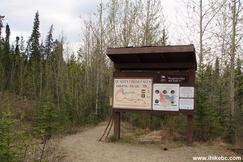
Quality Falls Trail information board
6. Quality Falls Trail infographic.
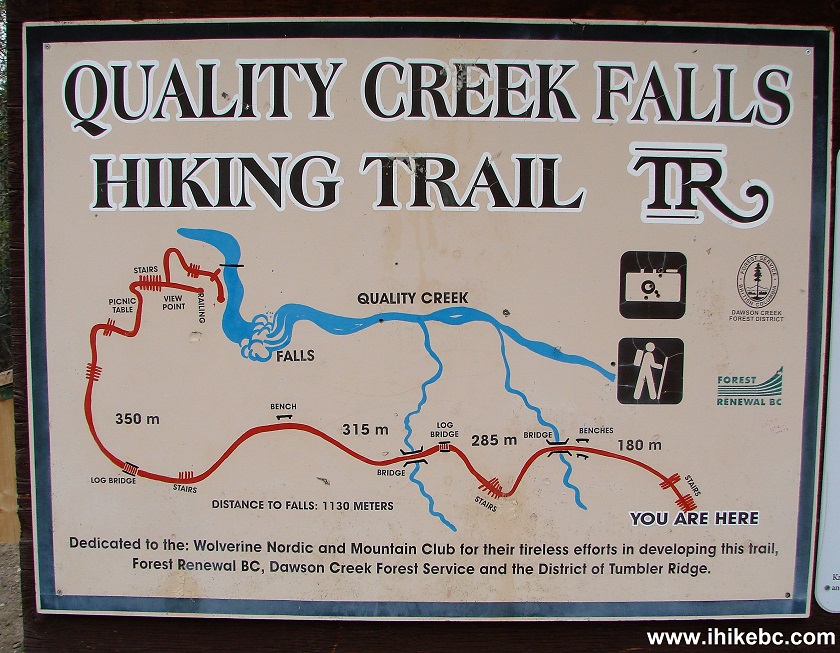
Quality Falls Trail infographic
7. Here is the trailhead.
Quality Falls trailhead near Tumbler Ridge British Columbia Canada
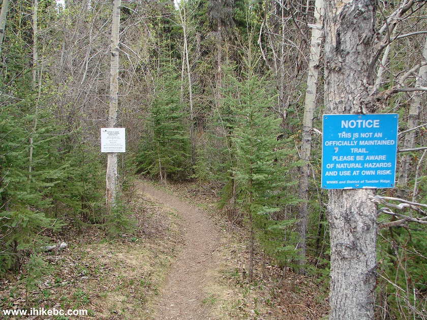
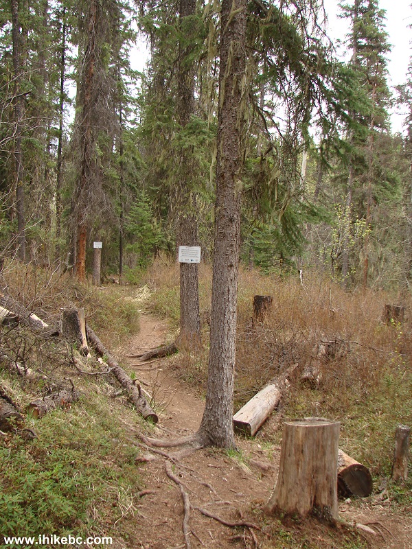
8. It's a nice and easy walk in the forest.
Tumbler Ridge Hike -
Quality Falls trail Northeastern British Columbia Canada
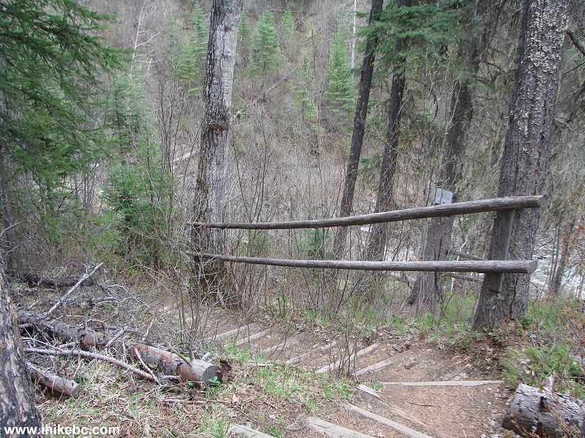
9. It takes all of 20 minutes to get to the waterfall viewing area, right after you descend down these steps.
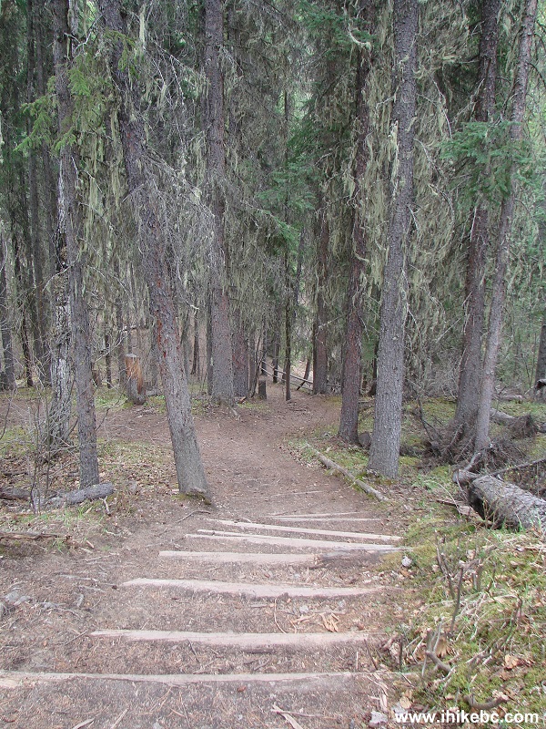
Quality Falls Trail near Tumbler Ridge BC Canada
10. And here is the viewing area, featuring a table and several fine information signs.
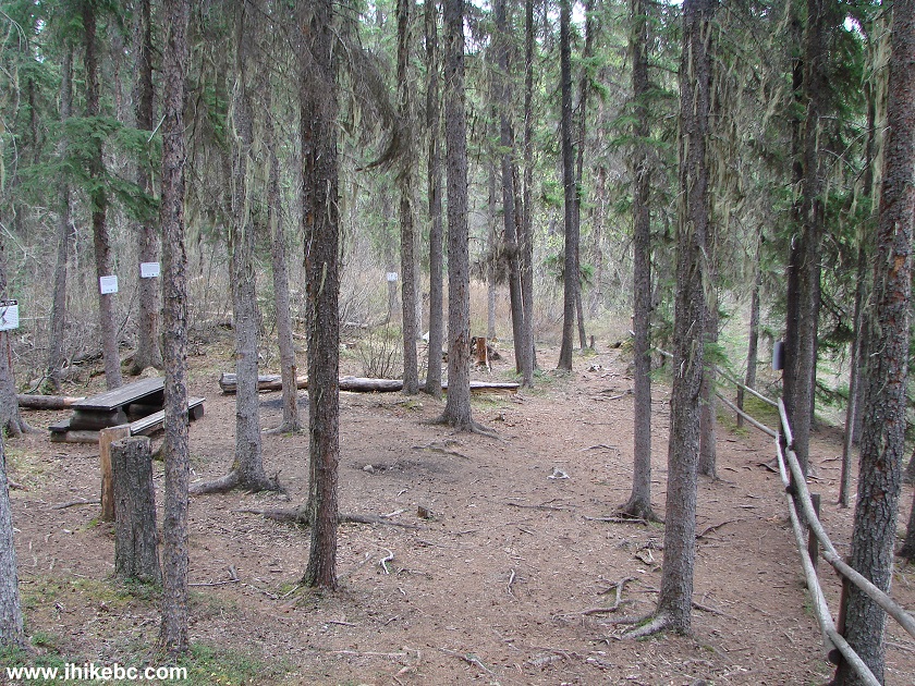
Quality Falls trail viewing area - BC Hiking
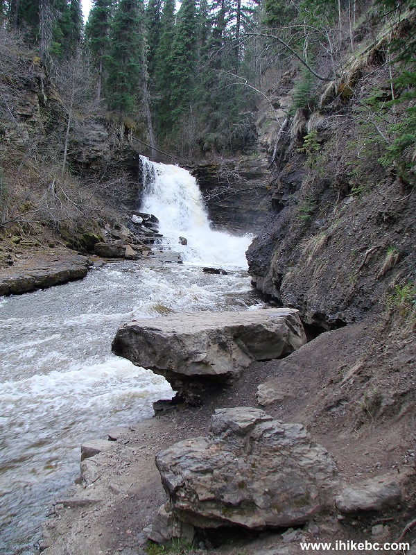
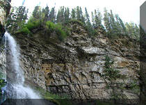
11. Quality Falls. Not the prettiest waterfall in the Tumbler Ridge area, but, likely, the easiest to get to.
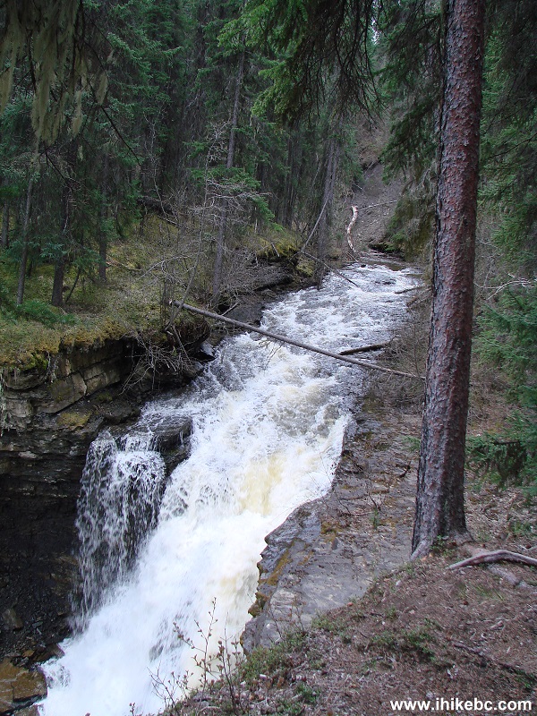
Quality Falls near Tumbler Ridge BC Canada
12. Interesting facts.
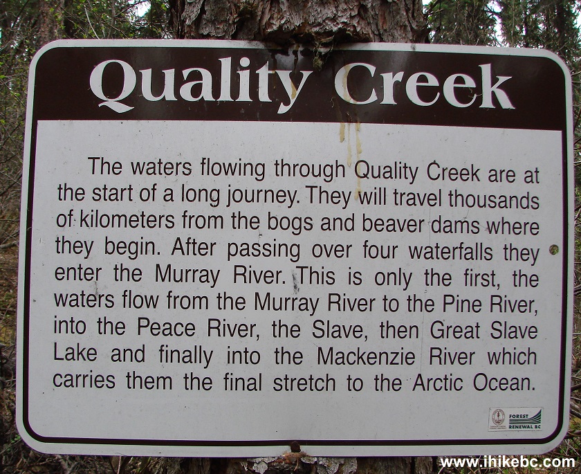
Quality Creek information board near Tumbler Ridge British Columbia
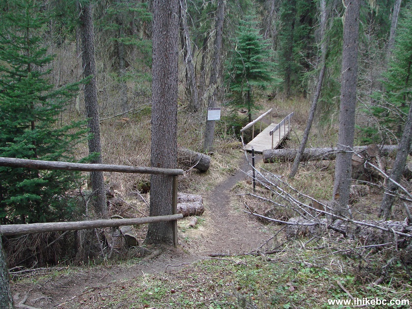
13. The path then continues to the bottom of the falls.
Quality Falls trail near Tumbler Ridge BC Canada
14. It's a neat path indeed.
Quality Falls Trail - Northeastern British Columbia Hike
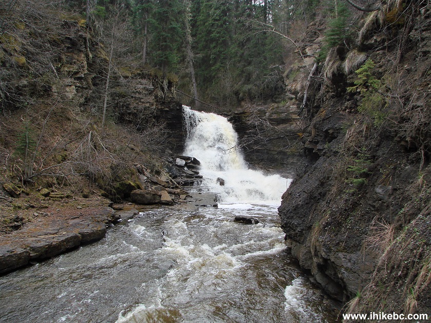
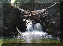
15. Quality Falls looks much better now.
Quality Falls near Tumbler Ridge BC
16. View from the large stone seen in the photo above.
Quality Falls
Here is our video of Quality Falls:
More ihikebc videos are on our YouTube Channel.
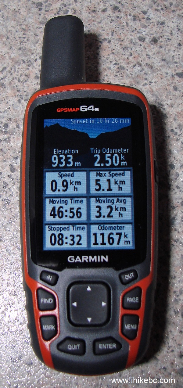
17. The round trip stats from the hike.
If you are driving on Highway 52 and have an hour to spare, a visit to Quality Falls is certainly recommended.


|
 |
Other Trips in Tumbler Ridge BC Area:
|
|
|
|
|
|
|
|
|
|
|
|
|
|
|
|
|
Bergeron
Cliffs Hike
|
 |
Stone Corral Trail  |
|
Windfall Lake Trail
|
 |
Mount Clifford Trail  |
|
Bootski Lake Trail
|
|
Quality Canyon Trail |


![]()
![]()
![]()
ihikebc.com Trip 124 - Quality Falls Trail Hike (near Tumbler Ridge BC)