![]()
![]()
![]()

Trip 094 - August 3, 2015 (Monday)
Bergeron Falls Trail Hike
Near Tumbler Ridge BC
Page 2 of 2
Location: Northeastern British Columbia.
Turn onto Sanctuary Road off Highway 29 approximately seven kilometers Northwest of Tumbler Ridge,
then drive for eight kilometers on a gravel road to the trailhead.
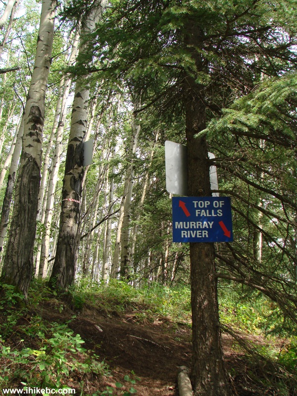
Liked: Bergeron Creek canyon, interesting side trails, excellent interpretive and directional signs, few flies.
Of note: Remote wilderness area, unbarricaded drop-offs, the waterfall underwhelms. Several creek crossings required. Bergeron Creek might be impassable. Hiking poles and boots are recommended.
Northern BC Backroad Mapbook (3rd edition) Coordinates: Page 44 (Tumbler Ridge) D1.
Related Trip: Bergeron Cliffs Trail Hike.
Related Website: Map and Brochure of Bergeron Falls Hike - PDF file from wnms.ca.
>>> British Columbia Waterfalls Visits.
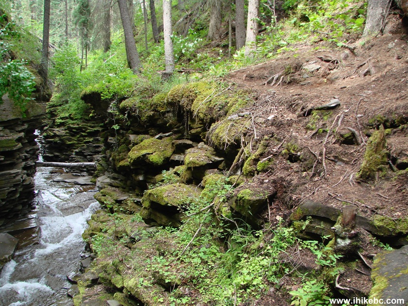
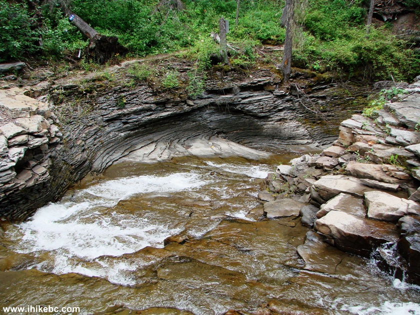
26. Soon after the fallen tree, things get really interesting, as we approach the scrambling portion of our canyon diversion. A sign warns not to approach the other side (on the left side of the photo below) due to falling rocks.
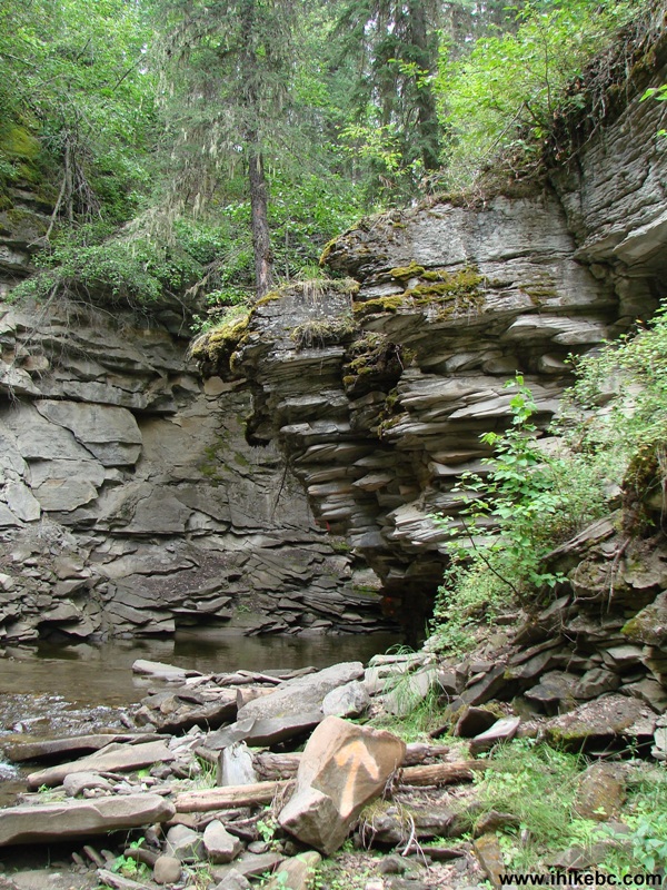
Tumbler Ridge Hike -
Bergeron Creek Canyon
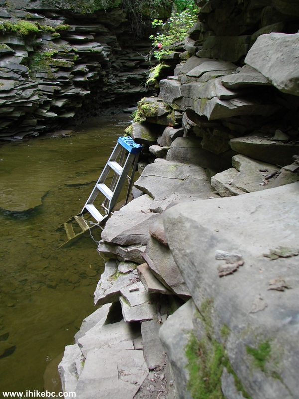
29. Here we are. It's not possible to get to the ladder without getting your feet wet. But a relatively easy solution is to use the stones on the right side to go up, while using your hands to grab higher stones to keep your balance.
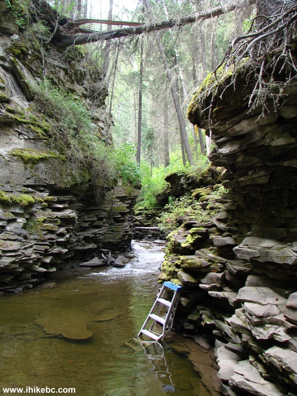
Bergeron Creek Canyon BC Canada - Tumbler Ridge Hiking
30. We are going up. Any missed step here would result in an unplanned swim in Bergeron Creek.
Scrambling the Wall of Bergeron Creek Canyon
31. Almost there.
Hike in Tumbler Ridge Area -
Bergeron Creek Canyon British Columbia Canada
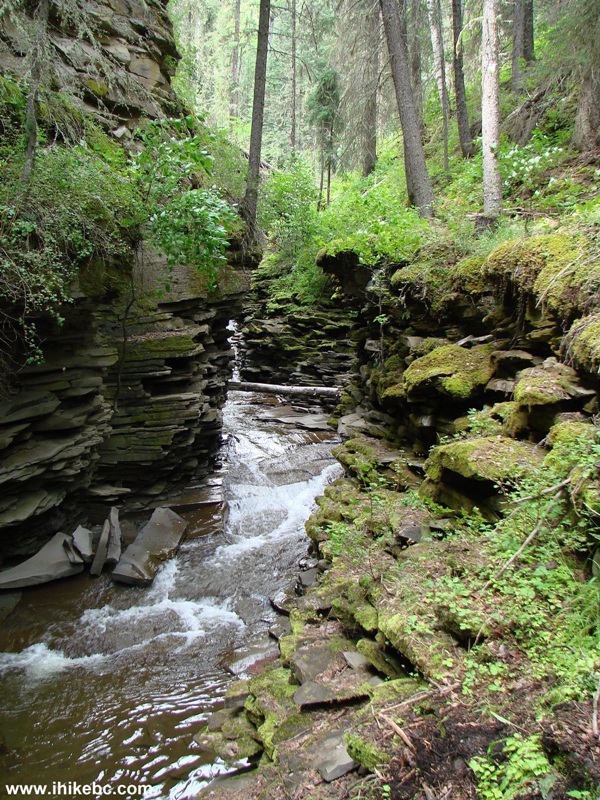
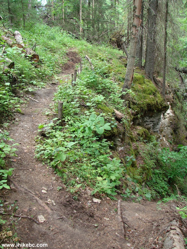
32. And that's the end of the scramble. If, for some reason, after checking out the canyon you would prefer not to climb this wall, simply turn around and, within 10 minutes, you would be at the split shown in photo #22. Then, just take a path to bypass the canyon.
Bergeron Falls Trail Hike - Bergeron Creek Canyon
33. We have by now joined the canyon bypass path and are getting close to Bergeron Falls.
Bergeron Falls Trail Hike By Tumbler Ridge BC Canada
34. You would need to cross Bergeron Creek three times in short order. All three crossings look pretty much the same. Unless the water level is low, like it was today, keeping your feet dry would be difficult. We managed to do stone-hopping, with hiking poles being essential for helping to maintain our balance.
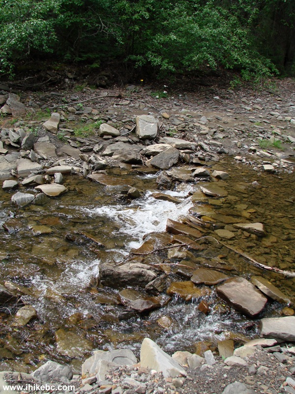
Crossing Bergeron Creek
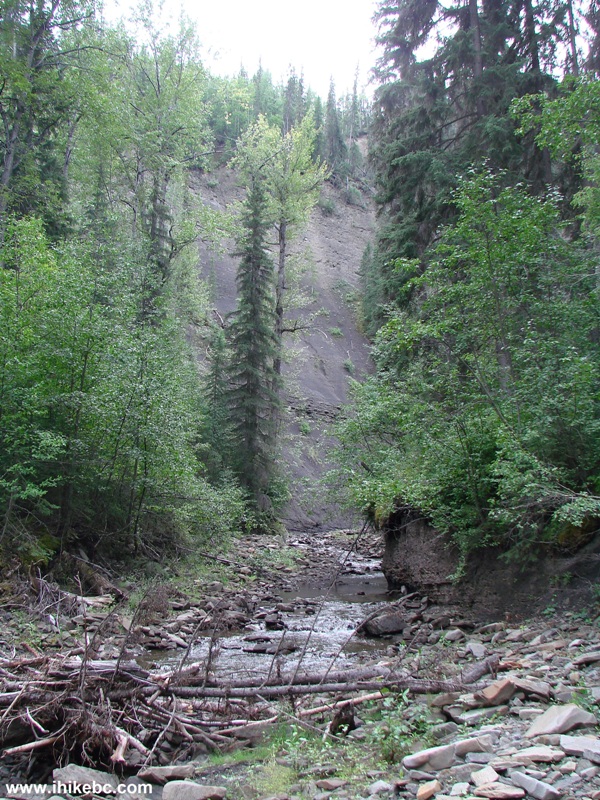
35. High grey walls provide a somber hiking environment.
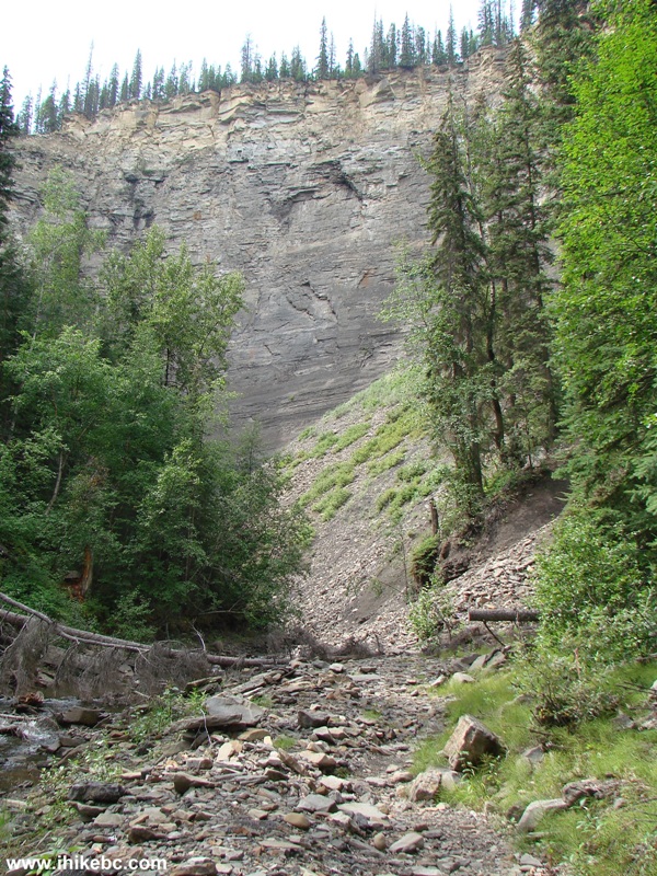
Bergeron Falls Trail Hike BC Canada
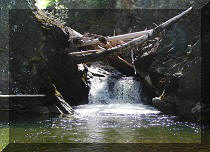
36. We turned the corner, and there in the distance it was, Bergeron Falls. Took about 2.5 hours from the start of the hike.
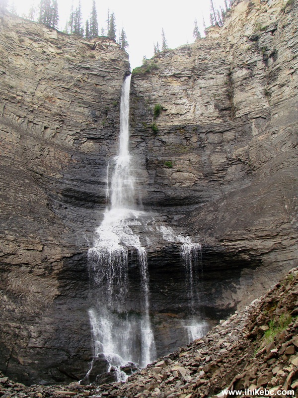
Bergeron Falls
37. Looking up.
Bergeron Falls BC Canada
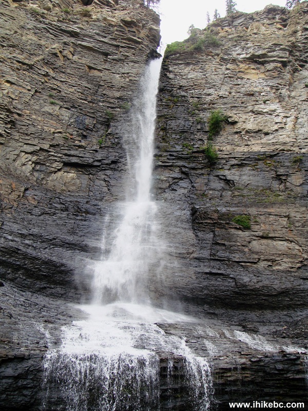
38. Looking down.

Bergeron Falls near Tumbler Ridge British Columbia
Here is Our Video of Bergeron Falls and Bergeron Creek:
39. Didn't spend much time by Bergeron Falls, and headed back, as there was an option to hike up and see this waterfall from above. Passing by the Bergeron Creek Canyon again.
Bergeron Creek Canyon
40. And this is where the canyon bypass meets with the canyon path right after you climb up the canyon wall.
Bergeron Falls Trail Hike BC Canada
41. Soon comes the split where turning left would lead to the upper waterfall view, and turning right would very shortly lead you back to the split seen in photo #22.
Bergeron Falls Trail British Columbia
42. Should you choose to turn left, the path would get moderately steep. We have met a pair of exhausted elderly folks without any hiking poles, and the husband stated: "we bit more than we could chew".
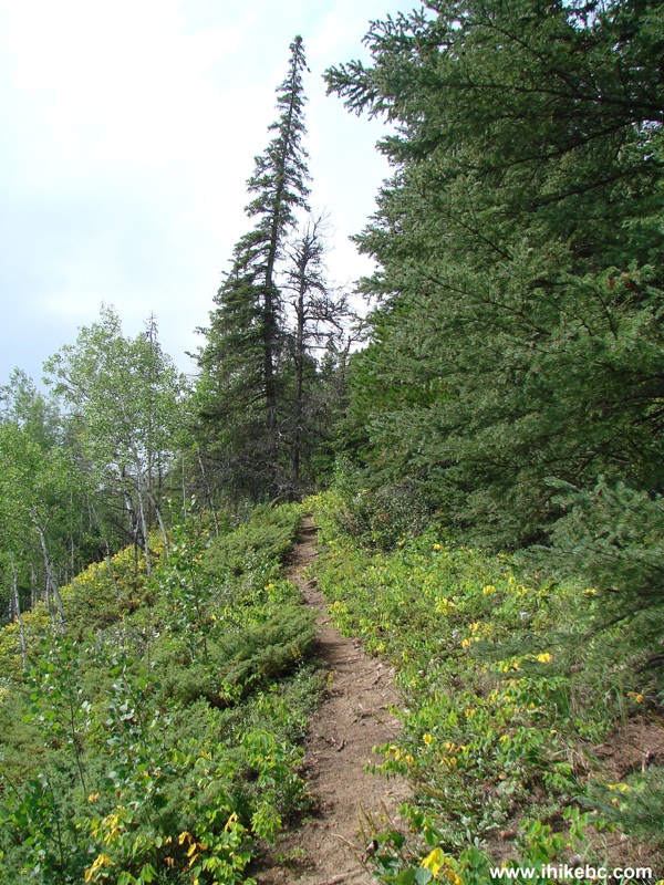
Photo of Bergeron Falls Trail Near Tumbler Ridge BC Canada
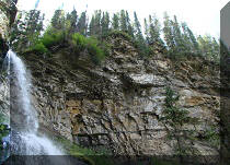
43. Ten minutes of huffing and puffing, and we get to seat on a bench and watch Bergeron Falls from above.
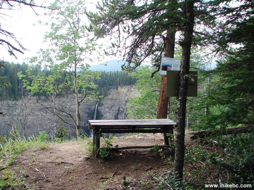
Bench on Bergeron Falls Trail
44. This waterfall does look somewhat better from above than up close.
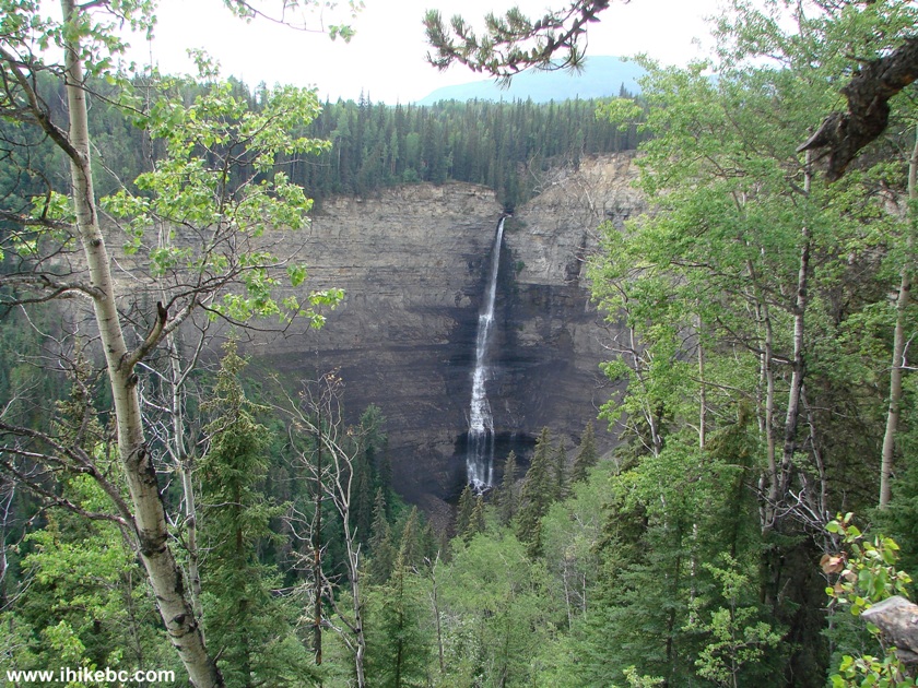
Upper View of Bergeron Falls
45. There are more waterfall views further down the path, as well as these signs pleading not to hurt the hikers below and not to hurt yourself.
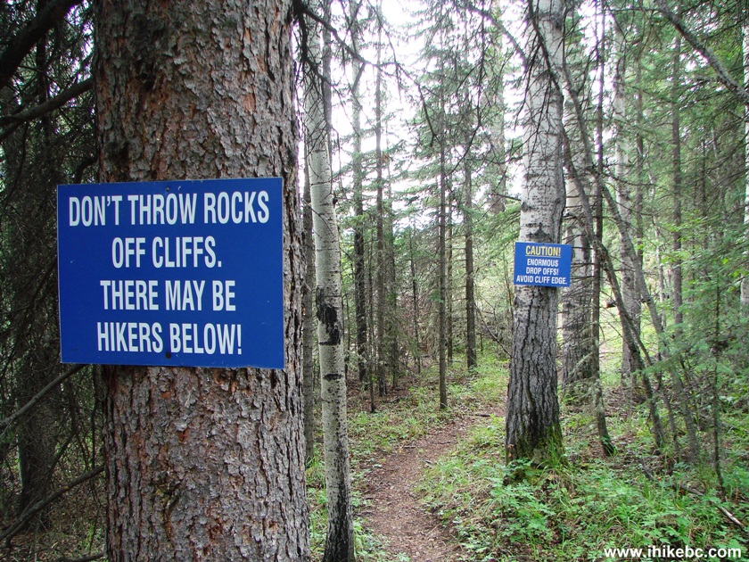
Bergeron Falls Trail Warning Signs
46. Arguably, the best view of Bergeron Falls.
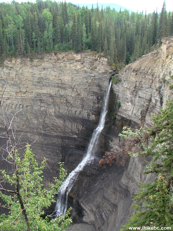
Bergeron Falls
Here is Our Video of Bergeron Falls from the Top:
More ihikebc videos are on our YouTube Channel.
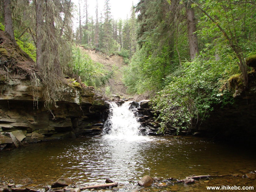
47. So, the waterfall wasn't all that great, but the side trips are quite engaging on this hike. One side trip is off the upper falls view path, and is called "Dipper Falls."
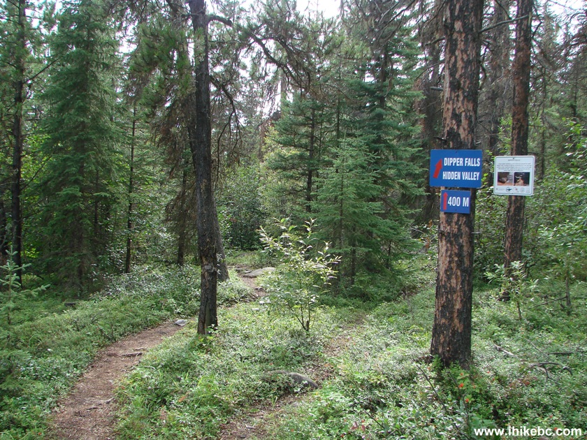
48. Here is this mini-waterfall, named after a bird.
Dipper Falls
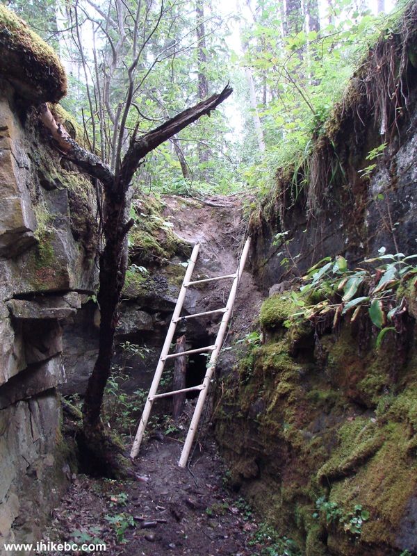
49. A ladder by Dipper Falls.
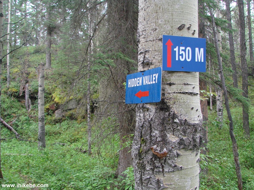
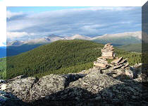
50. Another side trip is to Hidden Valley.
51. Hidden Valley features this neat stone formation.
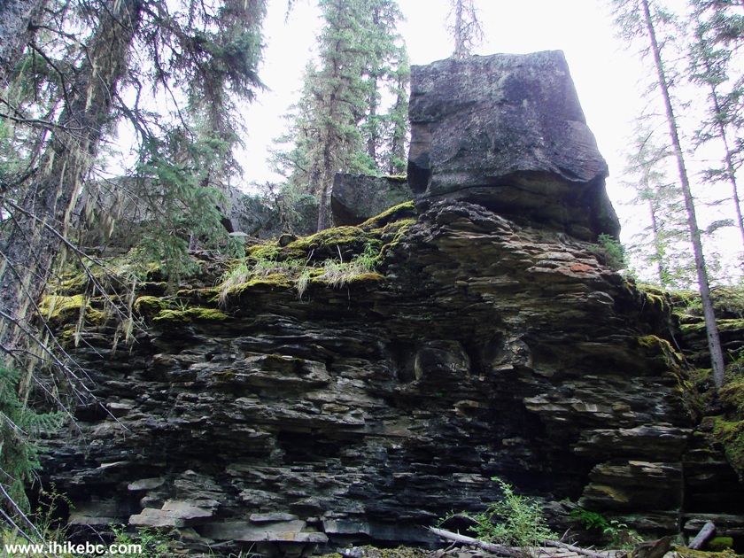
Hidden Valley
The entire hike took almost five and a half hours, and included a massive rain thoroughly soaking us on the way back like no other rain ever before. Bergeron Falls was an underwhelming attraction, but the side trips, especially the Bergeron Creek Canyon, certainly make this a recommended hike.


|
 |
Other Trips in Tumbler Ridge BC Area:
|
|
|
|
|
|
|
|
|
|
|
|
|
|
|
|
|
Monkman
Falls Hike
|
|
Windfall Lake Trail  |
|
Cowmoose Mtn Trail
|
|
Bootski Lake Trail  |
|
Murray Canyon
Overlook
|
|
Quality Canyon Trail  |


Other Trips:


![]()


![]()
![]()
![]()
ihikebc.com Trip 094 - Bergeron Falls Trail Hike (near Tumbler Ridge BC) Page 2 of 2