Trip 042 - June 8, 2011 (Wednesday)
Weaver Lake Trail
Weaver Lake Recreational Area (actually Called Denhams Trail)
Distance From Vancouver:
115-135 km in total. You can get there either via Highway
1 East, then via Highway 11 North (to Mission) and 7 East (from downtown
Mission). Or via Highway 7 East (Broadway, which turns into Lougheed Highway in
Burnaby) directly from Vancouver. Once on Highway 7, turn left to Morris Valley
Road 32 km East of where Highway 11 splits with Highway 7 in Mission, and then
drive for another 16 km to Weaver Lake Forest Service Road.
Liked: Lake views, fairly pleasant trail for the first half (if going clockwise), the trail is mostly easy with moderately challenging hills, but do see "of note."
Of note: There is a dangerous spot closer to the middle of the trail with a good chance of a fall and injury (see photo below), bear scat in many places, the trail is often overgrown and those in shorts may get scratched, the second half of the trail (if going clockwise) is not nearly as appealing as the first.
Vancouver, Coast & Mountains Backroad Mapbook (2010 edition) Coordinates: Page 14 (Harrison Lake) E7.
Follow @ihikebc Tweet
Weaver Lake Campground is 48 kilometers East of Mission BC. It is a place where you can relax, fish, and walk around the lake for only $13 per one day of camping (seniors pay $6.50). If you come for a visit during the daytime hours, then there is no fee to pay. We walked the trail around Weaver Lake in just over 2 hours. The trail is called Denhams Trail, and is a mixed bag. If you are going clockwise, the first half or so is quite pleasant. The lake is on your right side, a fine forest on the left, and the path is fairly smooth, though occasionally overgrown with plants and bushes. And, then, a nasty surprise arrives in the form of a very difficult spot which requires holding on to a flimsy tree branch while descending down a very slippery stone.
The second half of the trail is not nearly as pleasant. The forest has many haphazardly-lying broken trees, the path passes along an unsightly logging road, and good lake views are rare. We would recommend the following, unless you absolutely must walk the entire trail around the lake: start walking clockwise from the campground, reach the treacherous spot, turn around and go back. You would not miss much by not seeing the second half of the trail.
Beware of bears. There are many raspberry bushes along the trail, and fresh bear scat is commonplace.
1. We are on Highway 7, 32 kilometers East of Mission, about to turn left onto Morris Valley Road.
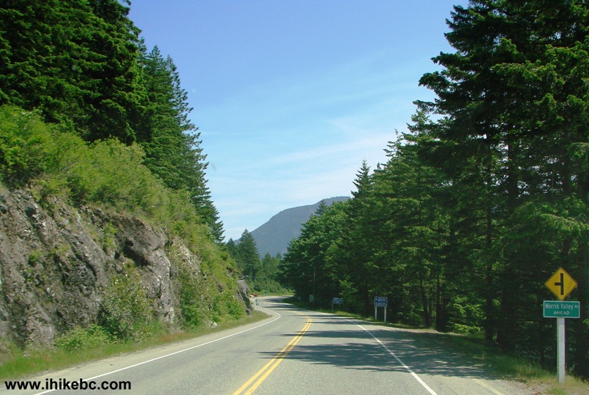
BC Highway 7 Near Harrison Mills British Columbia Canada
2. Within a minute, arrive at a 4-way stop intersection. On the left is the beginning of Chehalis Forest Service Road, which we visited earlier this week. But, to reach Weaver Lake Campground, drive straight ahead.
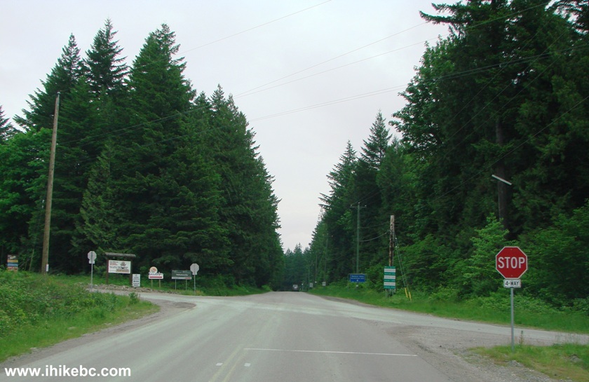
Morris Valley Road Intersection with Chehalis FSR East of Mission BC
Canada
3. Morris Valley Road is quite pleasant, with some sort of a small lake on the right side at one point. Logging trucks are present too, as Harrison West Forest Service Road is straight ahead as well.
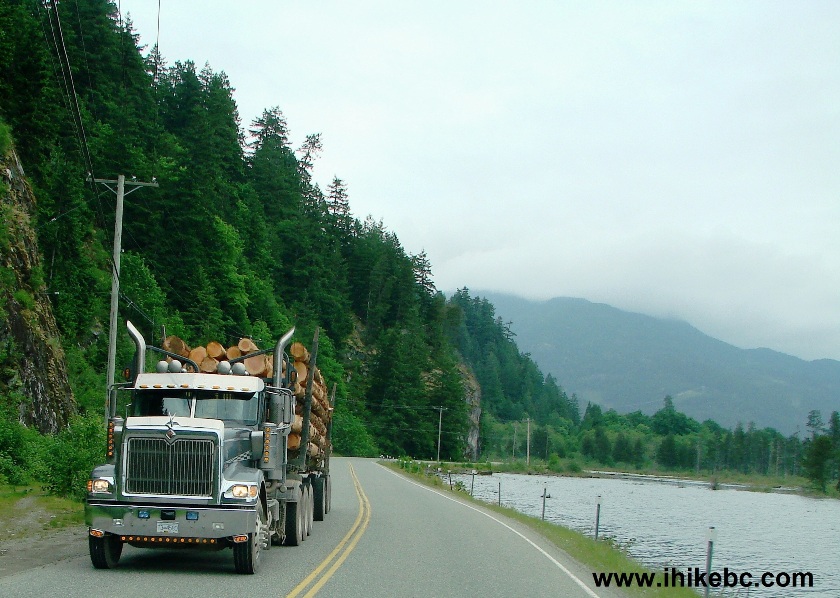
Morris Valley Road Province of BC Canada
4. Slightly less than 16 kilometers after turning from Highway 7 onto Morris Valley Road, there is a split. Straight ahead is Harrison West Forest Service Road (which we visited on July 5, 2011), and, on the left, is Weaver Lake Forest Service Road, which leads to Weaver Lake Recreation Site (campground).
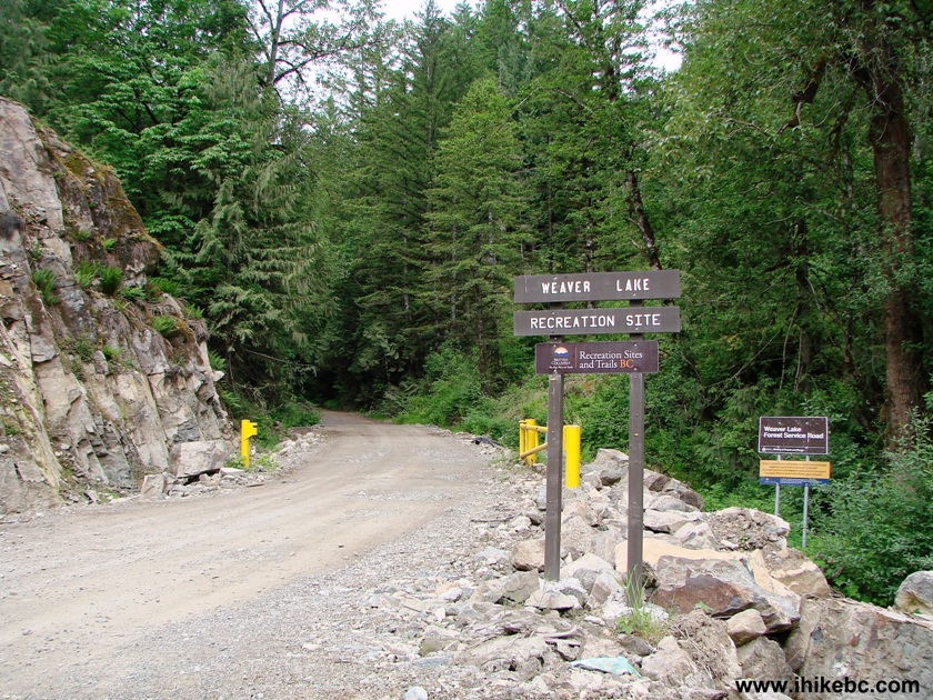
Picture of Weaver Lake Forest Service Road and Weaver Lake Recreation
Site Entrance, British Columbia Canada
5. Weaver Lake FSR is not too long (just over 2 km), but rather steep.
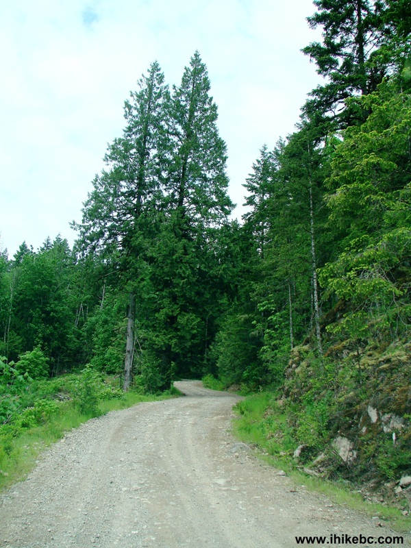
Weaver Lake FSR Photo, Province of BC Canada
6. About two kilometers after turning onto Weaver Lake FSR, there is a split. Make a left turn here and drive through the open gate.
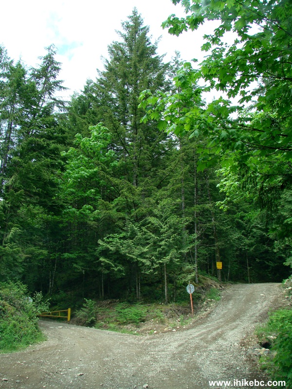
Weaver Lake FSR West of Harrison Lake BC Canada
7. Within several minutes, arrive to the campground. Immediately on the left side there is a large day use parking lot. Signs warn that all unregistered (with the host) vehicles will be towed after the gate is locked. The host is in an RV about 100 feet straight ahead and just across a small bridge. The host takes camping fees and sells firewood. Here is the site info.
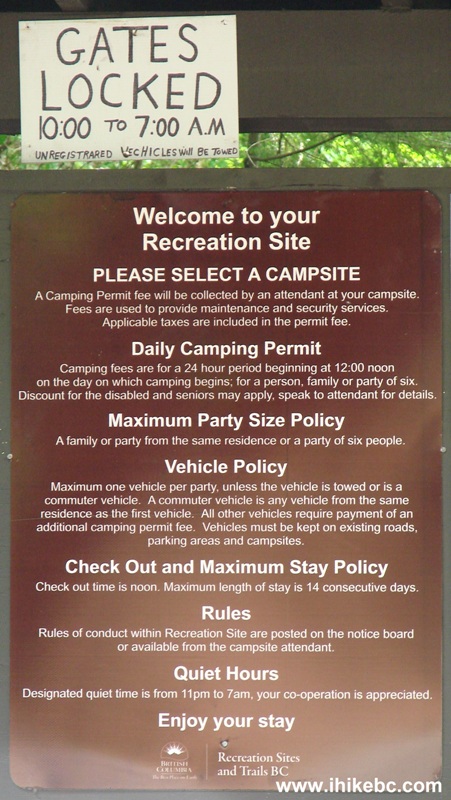
Weaver Lake Campground Rules, Province of British Columbia Canada
8. Weaver Lake as seen from a spot next to a small bridge leading to the host's RV. This is actually the best opportunity to take a decent photo of the lake.
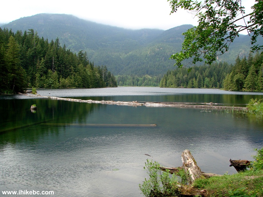
Weaver Lake British Columbia Canada
9. About fifty feet to the right of where we took the above photo is a boat launch ramp.
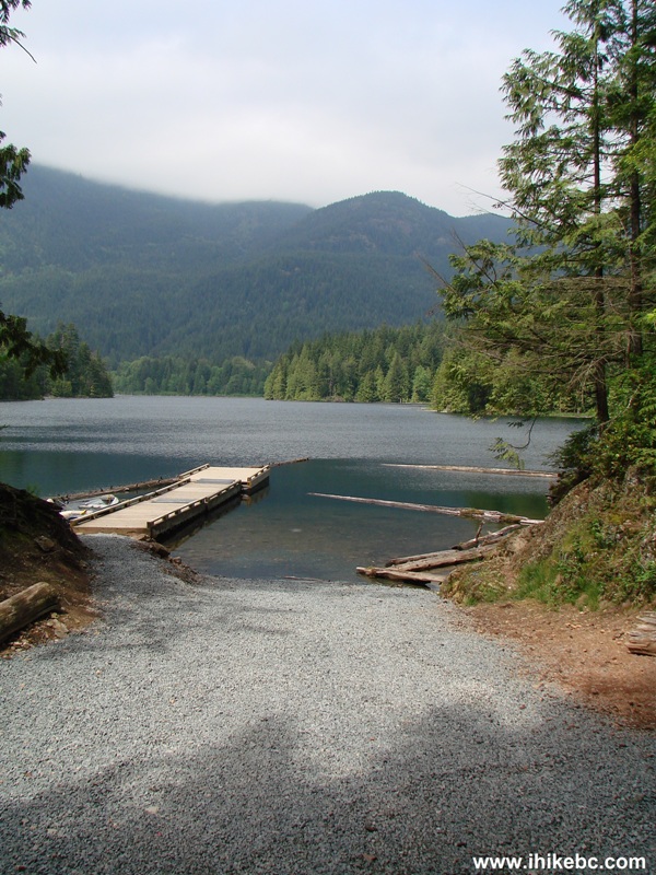
Weaver Lake Boat Launch Ramp BC Canada
10. Isn't this idyllic :)
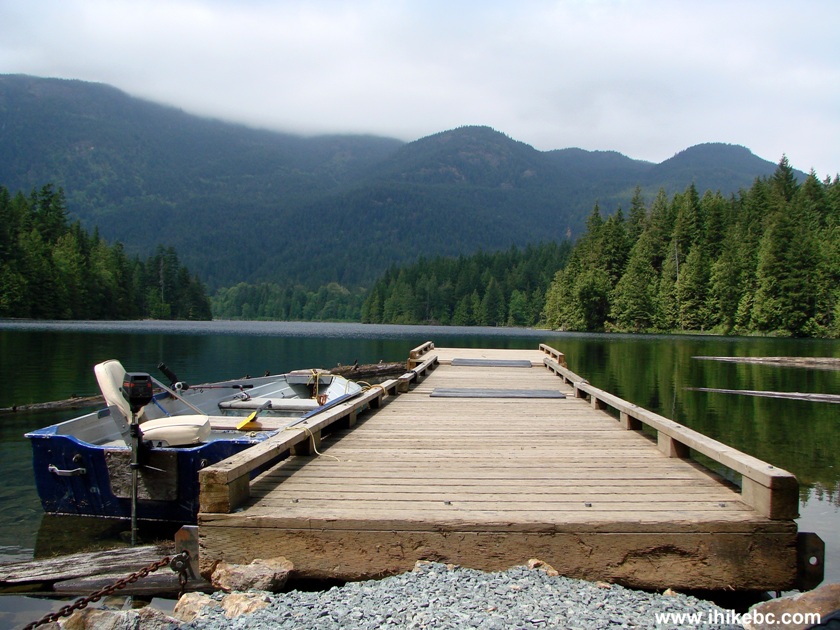
Weaver Lake Province of British Columbia Canada
11. Time to start hiking. There are two trail entrances. The counter clockwise entrance, which we advise not to take, is to the right of the day use parking lot. And the clockwise entrance, which we took, is just past the host's RV, and is between camping sites 22 and 23, on the right side of the road. As you can see, this is called "Denhams Trail," despite the fact that it goes around Weaver Lake.
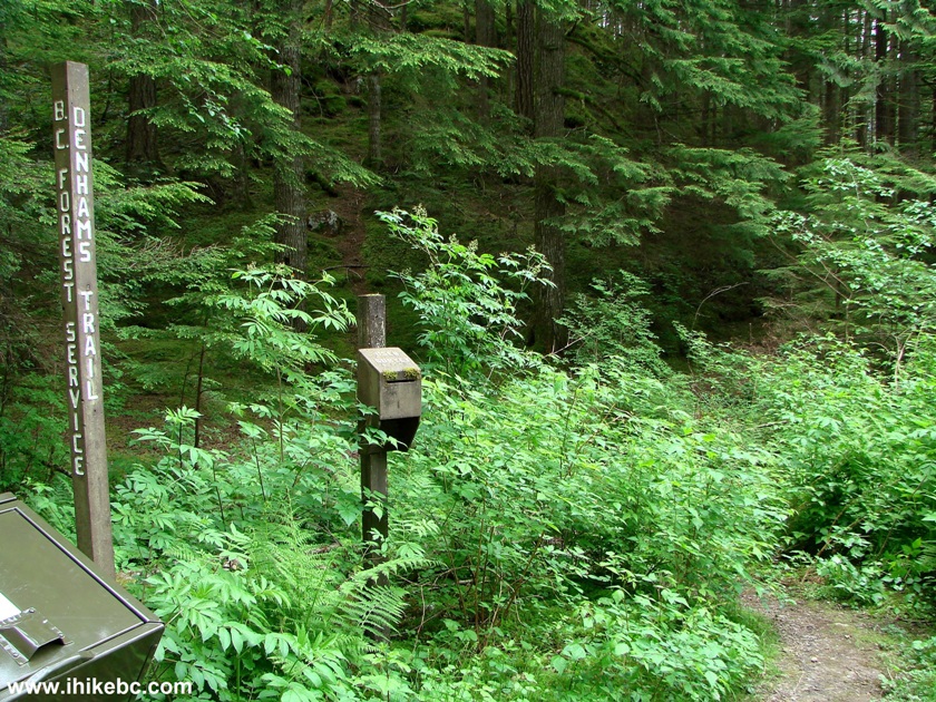
The Entrance to Denhams Trail Around Weaver Lake BC Canada
12. The path is mostly quite nice, and the forest is pleasant.
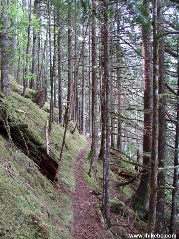
Weaver Lake (Denhams) Trail - East of Town of Mission BC Canada
13. Is this a fossilized seahorse? :)
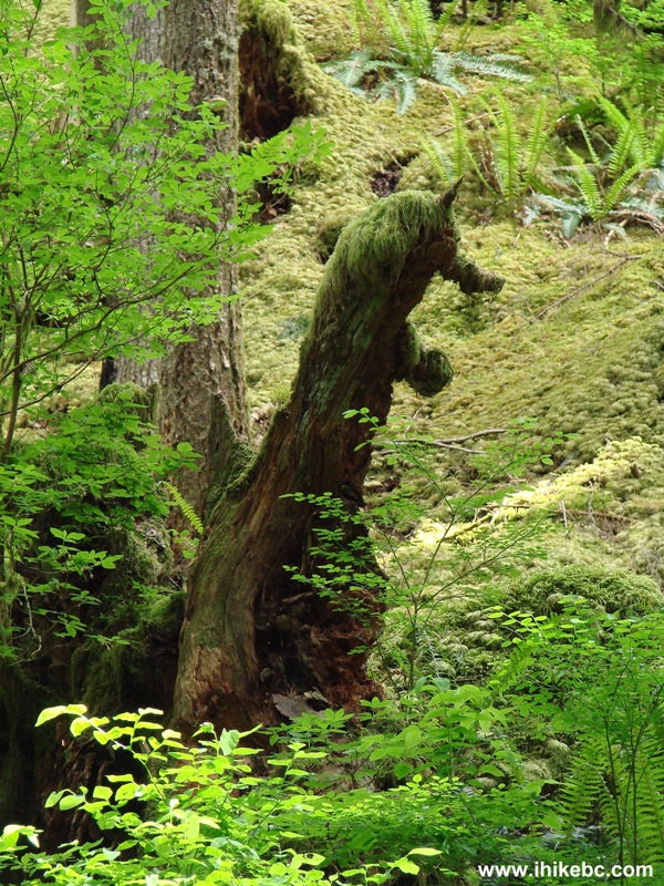
Tree Shaped Like a Seahorse - British Columbia Hiking - Denhams Trail
14. Here is a natural gate you would encounter approximately 45 minutes after starting the hike. It turns out to be a real gate to an obstacle course just ahead. If you are not sure that you can tackle the challenge shown in photo #15, this is a good spot to turn around and head back.
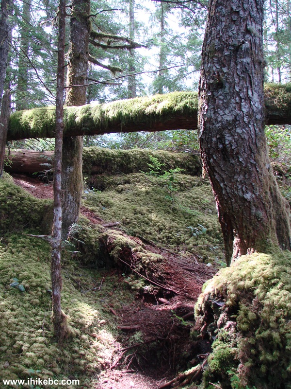
Weaver Lake Trail - Hiking in BC Canada
15. Here we are. The flimsy branch on the right side is your only support as you are trying to descend about a meter down a slippery stone. The problem is exacerbated by the fact that below the stone the path is quite narrow, with a steep (though not too deep) drop-off. So, if you start tumbling and would not be able to stop at the path, the momentum would force you down the steep (though small) hill.
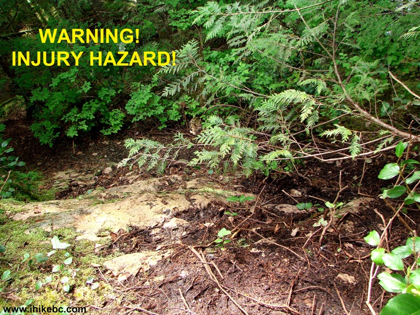
Weaver Lake Trail Challenging Spot
16. But wait, there is more! If you manage to get down the stone pictured above, there is another short challenging stretch a few meters further. In the photo below, we have already passed that stretch, and are now looking back at that second challenge. The arrow points at the path. There are no branches here to grab for support. The roots on the side of the trail do help to keep your right foot inbound. But, again, there is a high potential for a slip-and-fall. You can see how steep it is beyond the path. Yet another reason to turn around before the "gate" seen in photo #14, if you do not feel you can descend here safely.
17. Moving on, here is a good view of the lake from one of the picnic spots along the path.
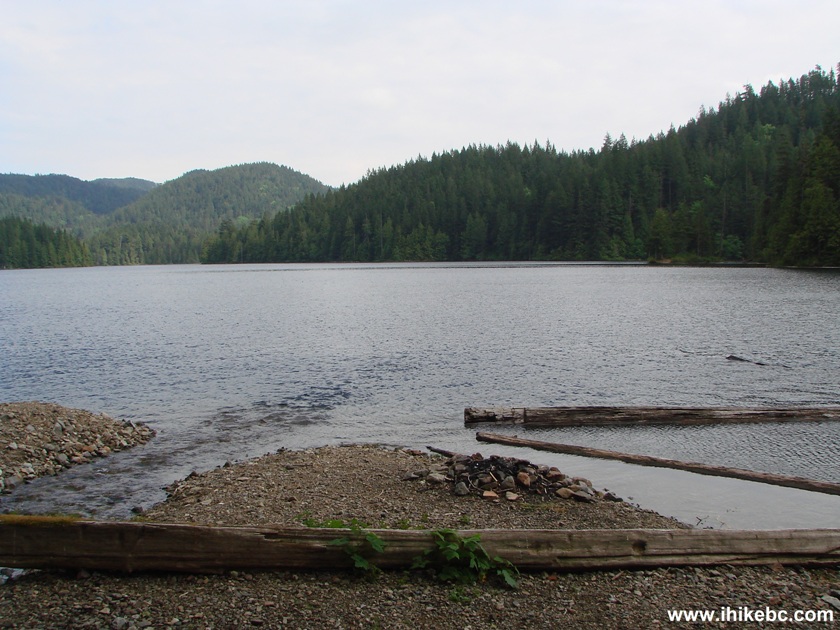
Weaver Lake Seen from Denhams Trail, BC Canada
18. A neat creek crossing.
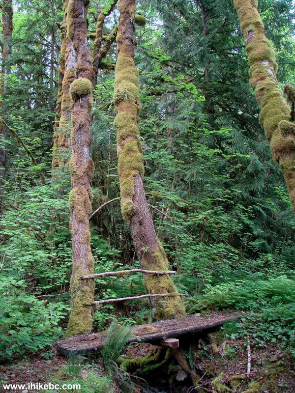
Denhams Trail Around Weaver Lake - British Columbia Hiking
19. And here is the evidence that someone is cutting the vegetation near the trail, making it less hazardous for people who do not have full leg cover on. But this was seen only during the second half of the trail, and not all of it either. The first half has seriously overgrown stretches, including some plants with thorns.
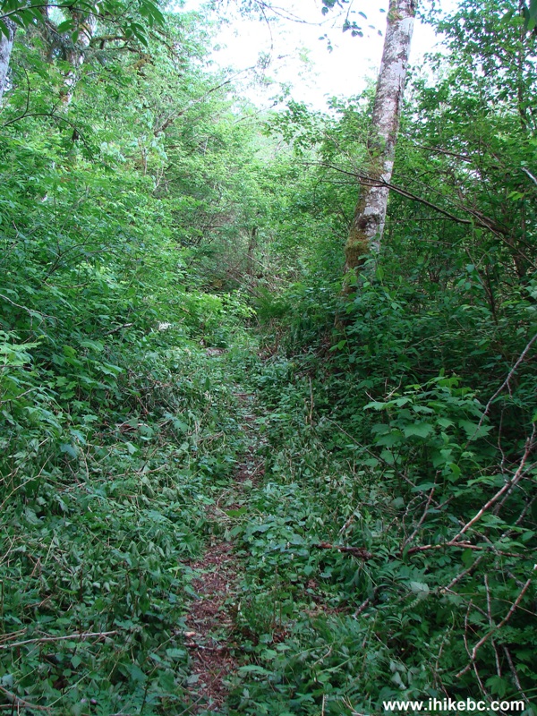
Weaver Lake Trail - Hiking in the Province of British Columbia Canada
20. The lowlight of the second half of the trail - walking briefly along an unsightly logged area.
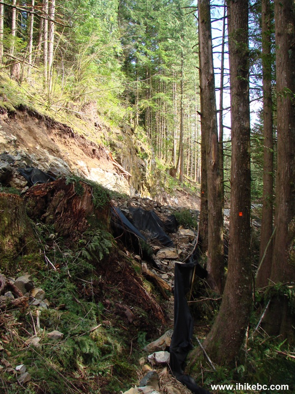
Weaver Lake Trail Province of British Columbia Canada
Overall, Weaver Lake Trail / Denhams Trail is a mixed bag. The lake views are decent, the forest is pleasant, and the path is mostly easy. But the nasty spots shown in photos 15 and 16, common bear scat on the path, badly overgrown stretches, and less than spectacular second half of the trail make this walk hard to recommend, especially for children and older folks.
|
 |
Other Trips in Harrison Hot Springs Area:
Follow @ihikebc Tweet
ihikebc.com Trip 042 - Weaver Lake Trail Hike (Denhams Trail)


