Trip 087 - July 2, 2015 (Thursday)
Boulder Gardens Route Hike
Near Tumbler Ridge BC
Page 2 of 2
Location: Northeastern British Columbia, about 40 kilometers
Southeast of Tumbler Ridge.
Liked: View of boulders, the route is a circuit, the route is well-marked and is fairly easy, strong wind kept most mosquitoes away, easy access via Highway 52 and industrial roads.
Of note: No cell phone signal, numerous dangerous crevices and steep drop-offs, wind gusts, hiking boots and poles highly recommended.
Northern BC Backroad Mapbook (3rd edition) Coordinates: Page 44 (Tumbler Ridge) D5.
Follow @ihikebc Tweet
Boulder Gardens Route (not to be confused with Boulder Canyon Trail near Muncho Lake) is a unique hike, as you get to see numerous haphazard rock formations, some of which are simply fantastic. The route is easy-to-moderate, but, considering much rock-hopping is involved, it would be a good idea to hike Boulder Gardens only when the ground and, especially, the stones are completely dry. Also, due to frequent wind gusts, stay away from the edges of numerous steep drop-offs found along this route.
19. Once you approach the chimney, you can either squeeze up (very uncomfortable) to get to the top, or turn to the right just before the stones seen in the photo below, and achieve the same objective without endangering yourself (this time, anyway).
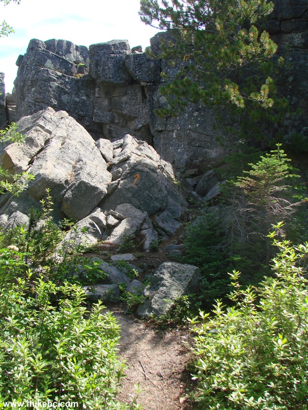
Path to Rock Chimney - Boulder Gardens Route BC Canada
20. And, then, we get to see a boulder garden.

Tumbler Ridge Hiking -
Boulder Garden Route View From Rock Chimney Observation Point
Here is Our Video of the Views From the "Rock Chimney" Observation Area:
More ihikebc videos are on our YouTube Channel.
21. The next side trip on the circular route is "Lichen Towers."
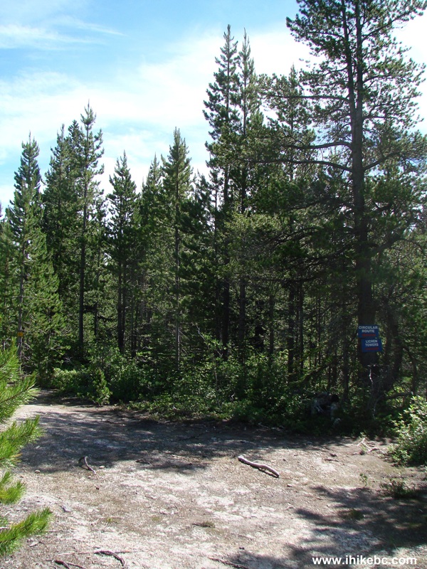
Boulder Gardens Route Split to Lichen Towers
22. A short path got us there.
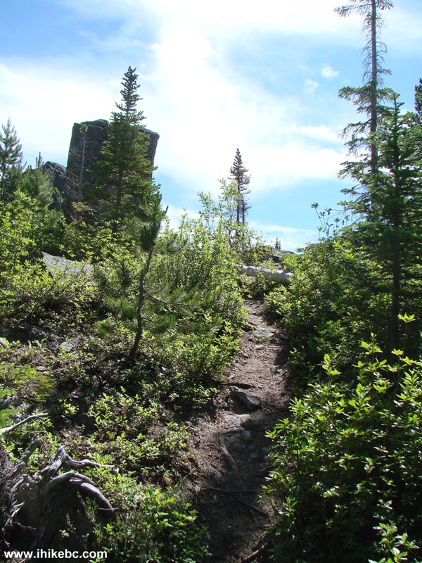
Path to Lichen Towers - Boulder Gardens Route British Columbia
23. Then, we did some rock-hopping and got to see this.
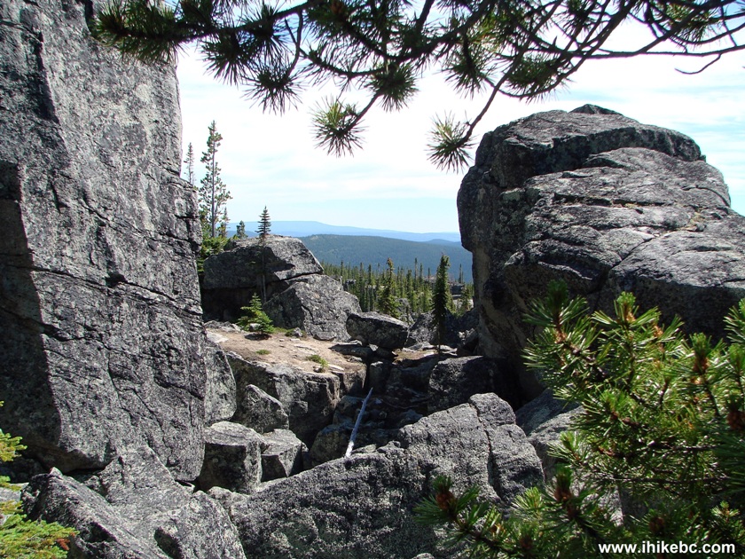
Boulder Gardens Route View from Lichen Towers Side Trip
24. As well as a fossilized big-screen TV.
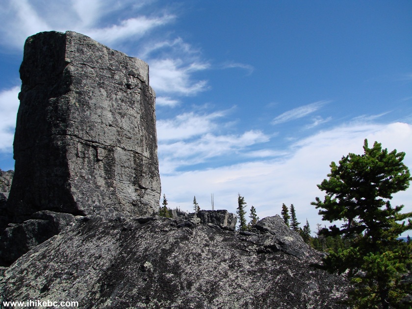
Lichen Towers Side Trip - Boulder Gardens Hiking Route by Tumbler Ridge
British Columbia Canada
25. Back on the circular route we pass by Boulder Tarn.
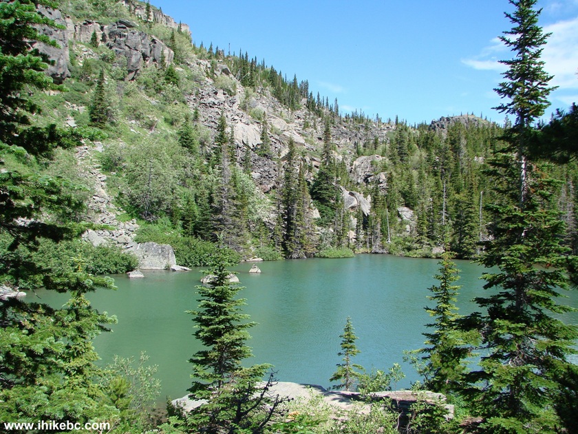
British Columbia Hiking -
Boulder Gardens Route Photo of Boulder Tarn
26. "Pancake Rocks" are next.
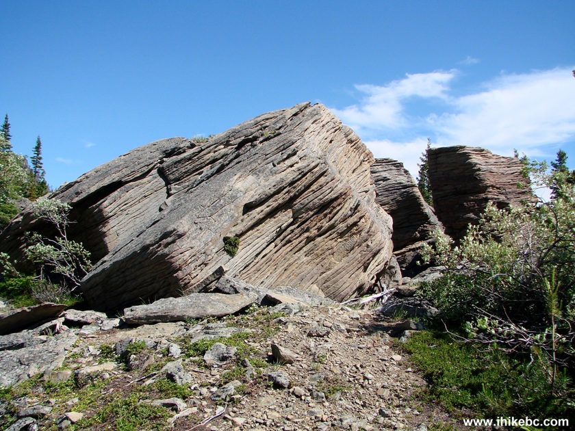
Hike in Tumbler Ridge Area -
Boulder Gardens View of Pancake Rocks
27. Lots and lots of stones there.
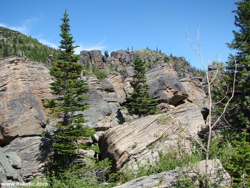
Photo of Pancake Rocks - Boulder Gardens Route by Tumbler Ridge BC
Canada
28. That's some serious pancakes.
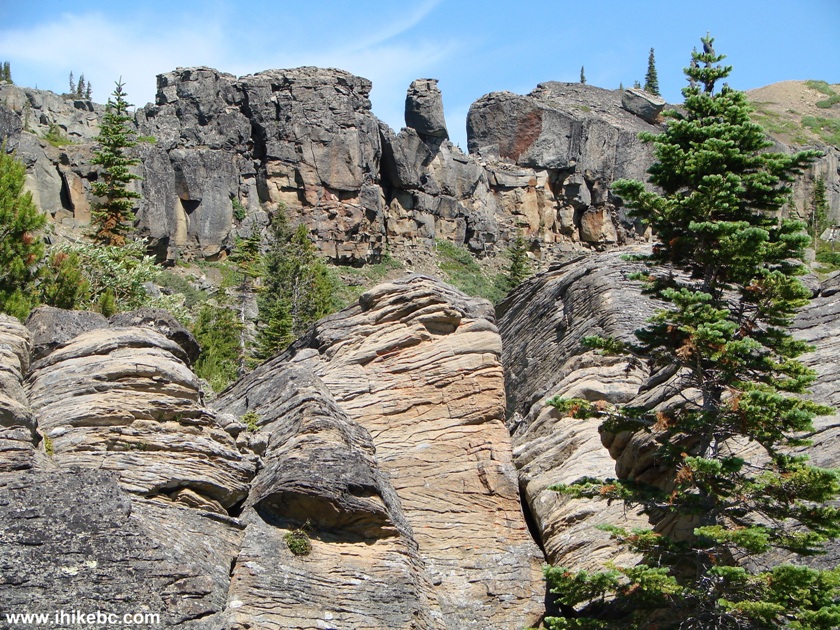
View From Boulder Gardens Route - Hike in British Columbia Canada
29. Looking from another angle.
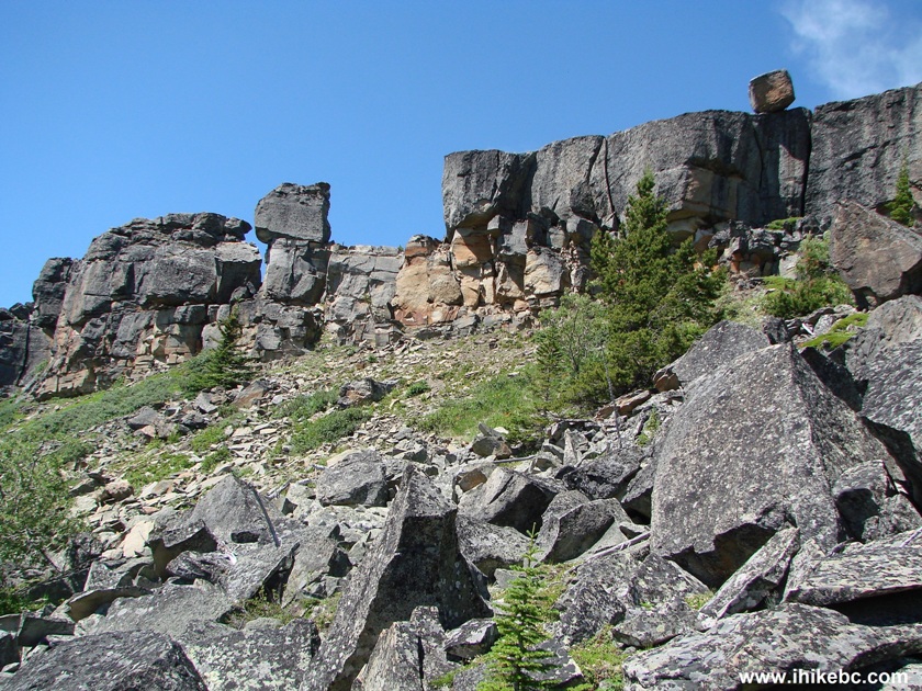
Tumbler Ridge Hiking -
View From Boulder Gardens Route
30. The last short side trip is called "Two Towers".
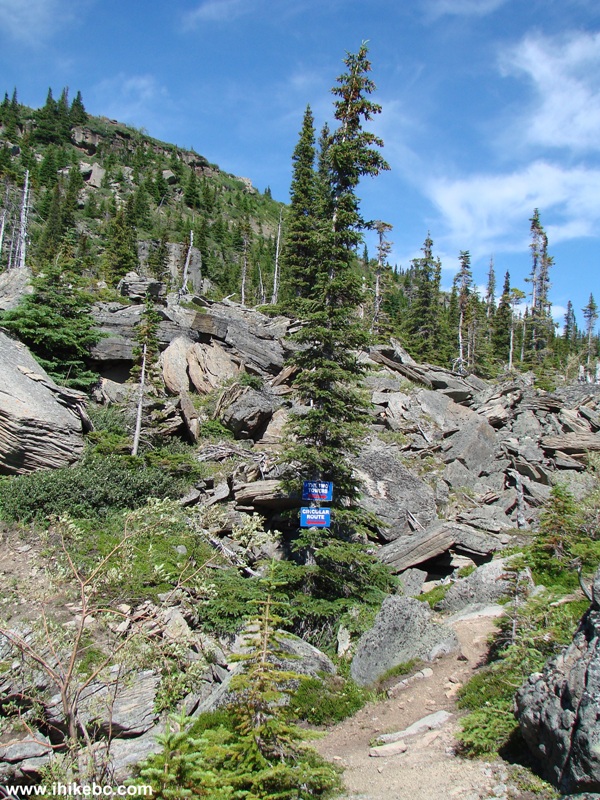
Boulder Gardens Circular Route Split With Two Towers Side Trip
31. Once you get there, here is the view.
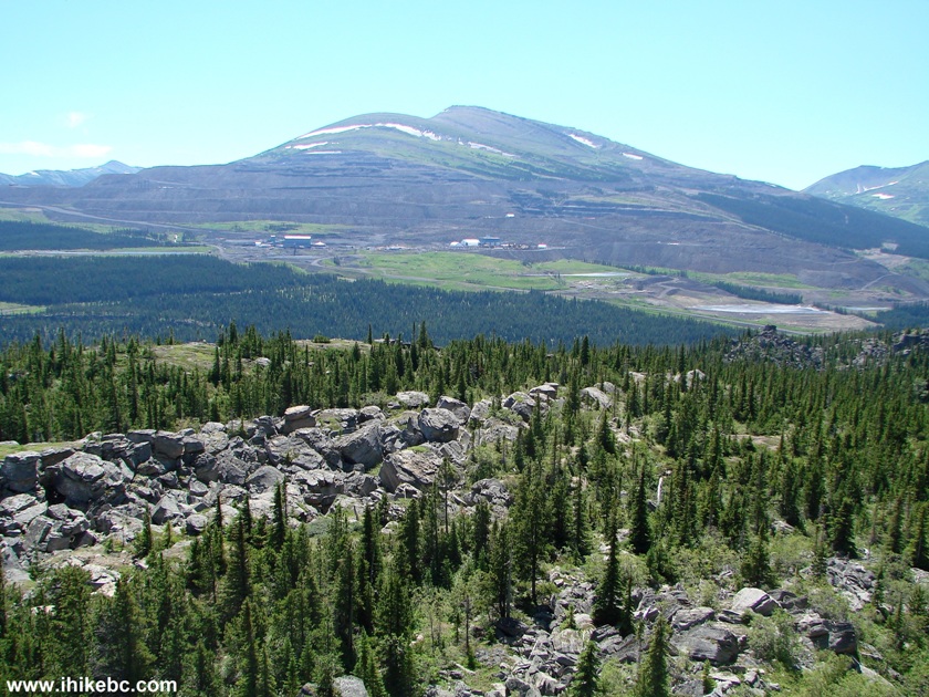
Boulder Gardens Hiking Route View From Two Towers Side Trip
32. And one more.
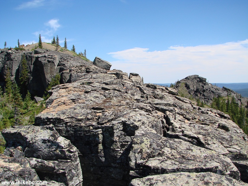
View From Boulder Gardens Hiking Route British Columbia Canada
33. This big fella sure looks like it wants to slide down, doesn't it?
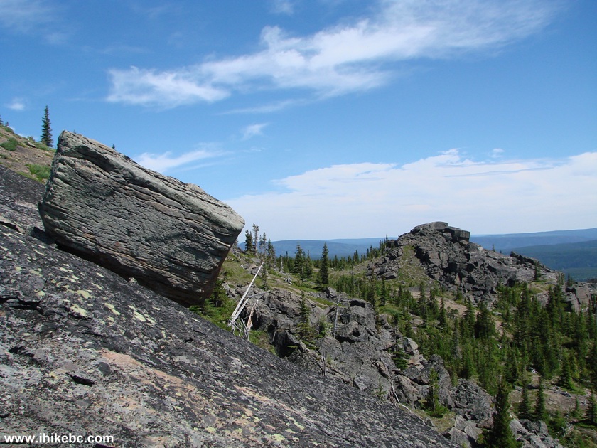
Boulder Gardens Hiking Route Northeastern British Columbia Canada
34. Back again on the circular route, we pass by the area called "Grassi Grind." This is where the trail gets complicated at times, and where you might be glad you've got hiking boots and poles.
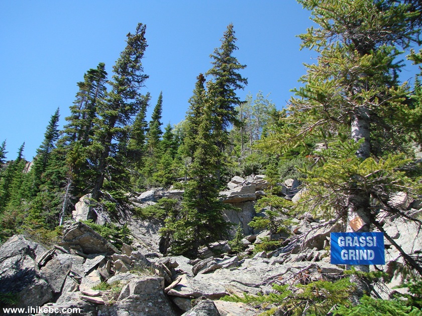
Grassi Grind Part of Boulder Gardens Hiking Route BC Canada
35. Nice.
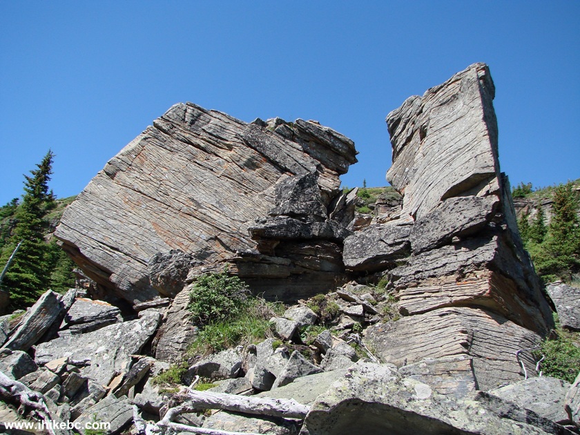
View From Boulder Gardens Hiking Route by Tumbler Ridge British Columbia
Canada
36. Getting closer to the end.
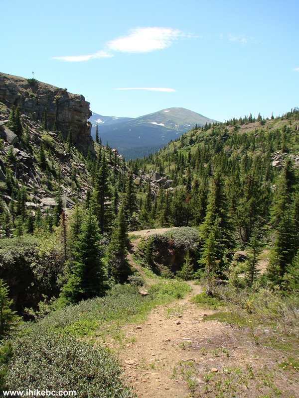
Boulder Gardens Hiking Route near Tumbler Ridge British Columbia Canada
37. Almost there.
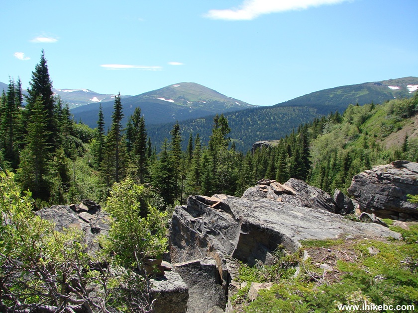
Photo of Boulder Gardens Hiking Route British Columbia Canada
38. And we are back at the starting point, with the parking area straight ahead.
The entire hike took us less than three hours. Boulder Gardens is highly recommended for the great views and a relatively easy path. Just be aware of the inherent dangers of this trail.
|
 |
Other Trips in Tumbler Ridge BC Area:
| Monkman Falls Hike |
|
Windfall Lake Trail  |
| Cowmoose Mtn Trail |
|
Bootski Lake Trail  |
| Murray Canyon Overlook |
|
Quality Canyon Trail  |
Follow @ihikebc Tweet
ihikebc.com Trip 087 - Boulder Gardens Route Hike (near Tumbler Ridge BC) Page 2 of 2


