Trip 205 - May 5, 2021 (Wednesday)
Vedder Rotary Loop Trail
Chilliwack, BC
Page 1 of 2
Distance from Vancouver: Approximately 96km: 90.5 km from Vancouver via Highway 1 East (Grandview Hwy entrance to Hwy 1) to Exit 119 (Yale Rd / Vedder Rd) in Chilliwack, then 5.4 km on Vedder Rd to Petawawa Rd (turn right), then 200 meters to park entrance.
Liked: Wide and smooth paths, Vedder River views, forest views, several fine rural vistas, art graffiti under several bridges, numerous benches by the trail.
Vancouver, Coast & Mountains Backroad Mapbook (5th edition) Trailhead
Coordinates: Page 4 (Chilliwack) C5.
Related Website:
Another Dyke Trail in Chilliwack Area: Chilliwack Dyke Trail.
Other Trips in Chilliwack Area:
Flora Lake Trail,
Williams Ridge Trail,
Mount Thom Lookout
Loop Trail,
Teapot Hill Trail Hike,
Greendrop Lake Trail,
Mount Cheam Peak
Trail, Ling Lake Trail Hike (off
Chilliwack Foley FSR),
Chilliwack
Foley FSR, Chilliwack
Bench FSR, Elk-Thurston Trail,
Slesse Memorial Trail, Downtown Chilliwack BC
Visit, Chilliwack
Lake FSR, Radium Lake Trail,
Chilliwack Lake
Provincial Park, Minter Gardens,
Town of Agassiz BC,
Bridal Veil Falls Provincial
Park.
Vedder Rotary Loop Trail is approximately 21 kilometers long, and is a
very easy and picturesque loop actually consisting of four trails:
Vedder Rotary Loop North, Vedder North Dyke, Vedder South Dyke, and
Vedder Rotary Loop South. There are numerous points where one can access
the trail, but we started at Vedder Park, which is just a few hundred
meters away from kilometer 0 located by Vedder Bridge on Vedder Road.
Unlike its cousin to the North,
Chilliwack Dyke Trail, Vedder Rotary Loop Trail is much busier, and not as picturesque. That said, the fact that it's a loop, and it's
such a level and smooth bunch of trails, makes it a great trail to bike,
which is what we did today.
There were a few other bikers, but most folks were content with walking,
and a few were jogging. There are some side trails too, including a
short trail to Great Blue Heron Nature Reserve. Lots of benches and several pit
toilets in key locations ensure the comfort of visitors to Vedder Rotary
Loop Trail. Aside from a few small hills, there is hardly any elevation
change throughout the loop.
This trail appears to be particularly busy between Vedder Park and
Lickman Road, three kilometers to the West. Also, the trail is
used by horse riders, so watch out for horses and manure. Vedder Rotary
Loop Trail goes by the river, through the forest, across a busy
vehicle-used Keith Wilson Bridge, and also on top of dykes. So, there is
a bit of everything here, making for a very fine outing.
A note of caution, and it's one of those amusing situations which wasn't
very funny when it happened, but the power lines crossing above the
trail by Keith Wilson Bridge are so powerful, that they have energized
our bicycle when we had the misfortune to stop under the wires for a few
seconds, so we got electrocuted when bare skin touched the metal part of
the bicycle! Wasn't terribly painful, more like a bee sting, but
nonetheless.
1. We are on Highway 1 East in Chilliwack, taking Exit 119.
2. At the end of the exit, stay right to get onto Vedder Road.
3. Proceed on Vedder Road. Cross Keith Wilson Road (a major
intersection) pictured below.
4-5. About 5.4 km after exiting from Highway 1, turn right onto Petawawa
Road.
6. Petawawa Road immediately after the turn.
7-8. Drive on Petawawa Road for 200 meters, an enter Vedder Park
straight ahead (Petawawa Road would go to the right).
9. Arriving to Vedder Park parking lot.
Coordinates: N 49⁰05.904' W 121⁰58.108'.
Elevation: 41 meters. Parking is free. Vedder Rotary
Loop Trail would be on the right side, by Vedder River.
10. Heading towards the trail.
11. Here is the map of Vedder Rotary Loop Trail. Many such maps are
placed along the trail. We indicated our current location in Vedder Park
with a red square.
12. Here is the trail. The actual start at kilometer 0 is a few hundred
meters to the left, by Vedder Bridge. That's where we would come from
after completing the loop. For the time being, we turned to the right.
The sign indicates 9.8 km to Keith Wilson Bridge, among other things.
13. Off we go. Lots of people for the next 3 kilometers, until Lickman
Road parking lot.
14. Vedder River keeps you company for much of the trail.
15. The mileage markers are from kilometer 0 by Vedder Bridge.
16. About 3 kilometers from Vedder Park, just before Lickman Road, Peach
Creek Rotary Trail is on the right side. It parallels Vedder Rotary Loop
Trail, and rejoins it several kilometers later.
17. Another fine river view 300 meters later.
18. Approaching a bench with a view and a bridge.
19. The bench with a view.
20. The bridge.
21. The view from the bridge.
22-23. About 6.5 km from Vedder Park, shortly after another short
bridge, a road to the right leads to Great Blue Heron Nature Reserve.
TransCanada Highway 1 East at Exit 119 in Chilliwack
BC
Highway 1 Exit 119 Chilliwack British Columbia
Vedder Road at Keith Wilson Road Chilliwack BC
Vedder Road near Petawawa Road
Vedder Road at Petawawa Road Chilliwack BC
Petawawa Road Chilliwack British Columbia Canada
Petawawa Road
Petawawa Road at Vedder Park Entrance
Vedder Park Main Parking Lot Chilliwack British
Columbia
Vedder Park
Vedder Rotary Loop Trail Map
Vedder Rotary Loop Trail at Vedder Park
Chilliwack Hiking - Vedder Rotary Loop Trail
Vedder River by Vedder Rotary Loop Trail
Chilliwack Biking - Vedder Rotary Loop Trail
Vedder Rotary Loop Trail at Peach Creek Rotary Loop
Trail - Chilliwack Hike
Vedder River
Chilliwack Trail - Vedder Rotary Loop Trail
Bench on Vedder Rotary Loop Trail
Chilliwack Trail - Vedder Rotary Loop Trail
View from Vedder Rotary Loop Trail - Hiking in
Chilliwack
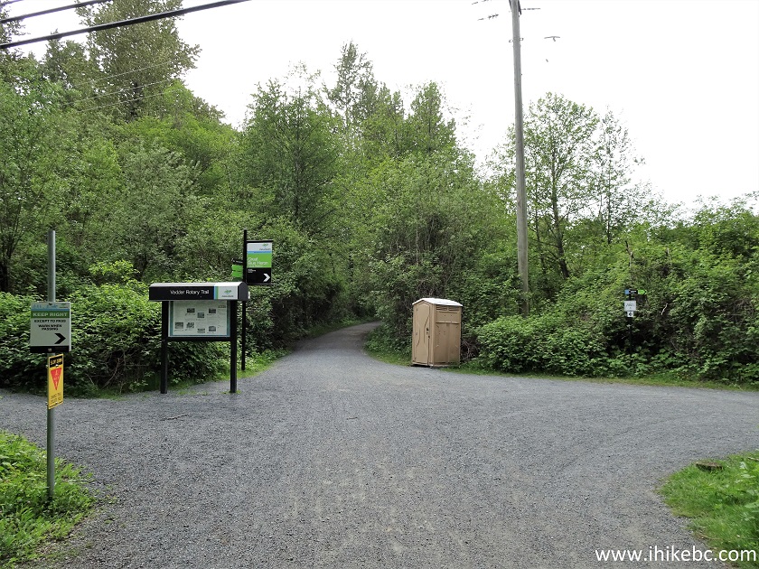
Vedder Rotary Loop Trail at Great Blue Heron Nature
Reserve Turnoff
24. Vedder Rotary Loop South Trail is about to end at Vedder South Dyke Trail, about 8 kilometers from Vedder Park.
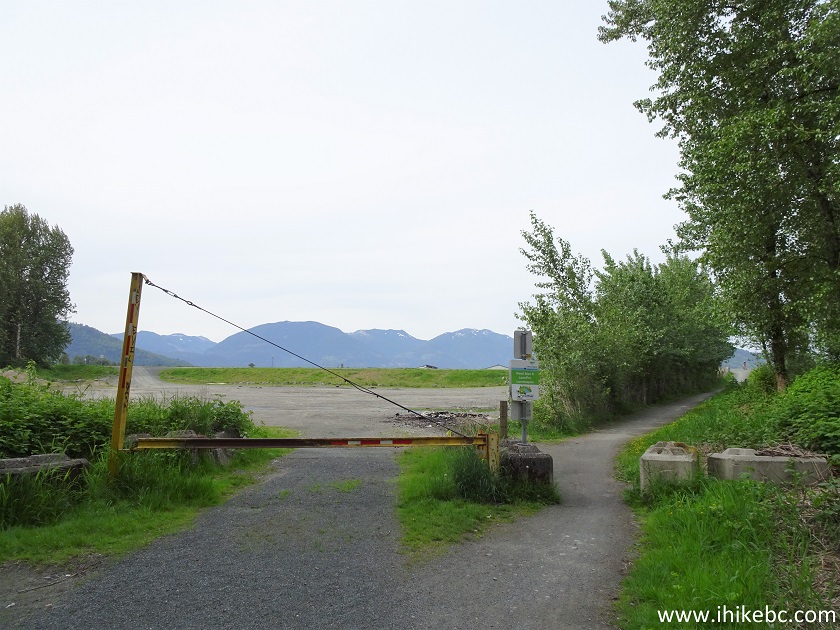
Hike in Chilliwack - Vedder Rotary Loop Trail
25. We took the path to the right of the gate.
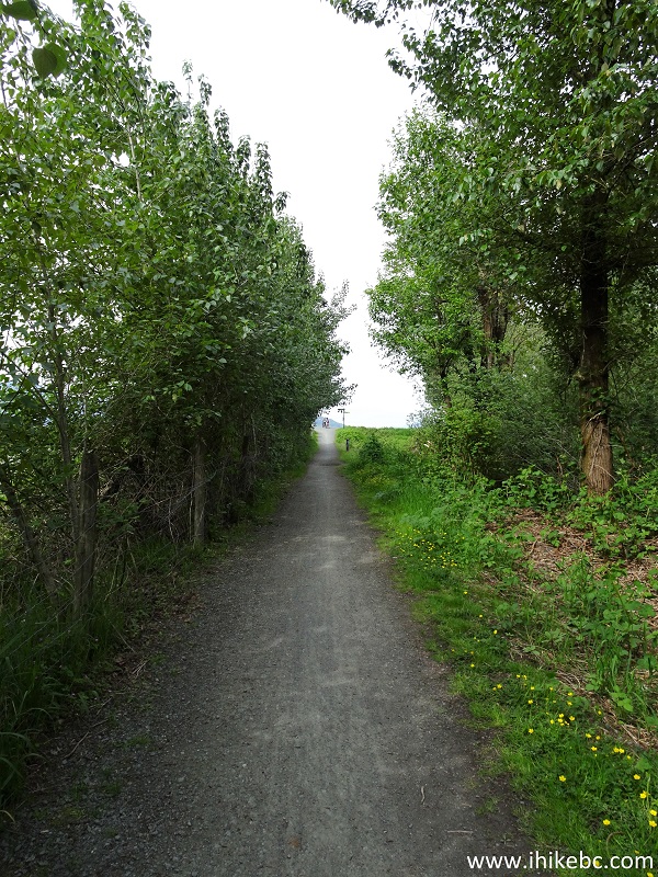
Vedder Rotary Loop Trail - Bike in Chilliwack
26. Another mileage marker.
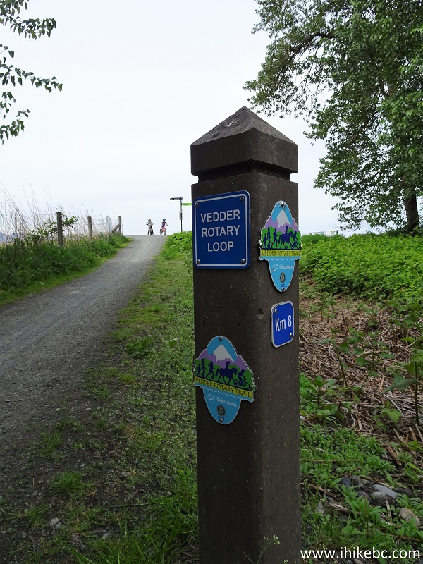
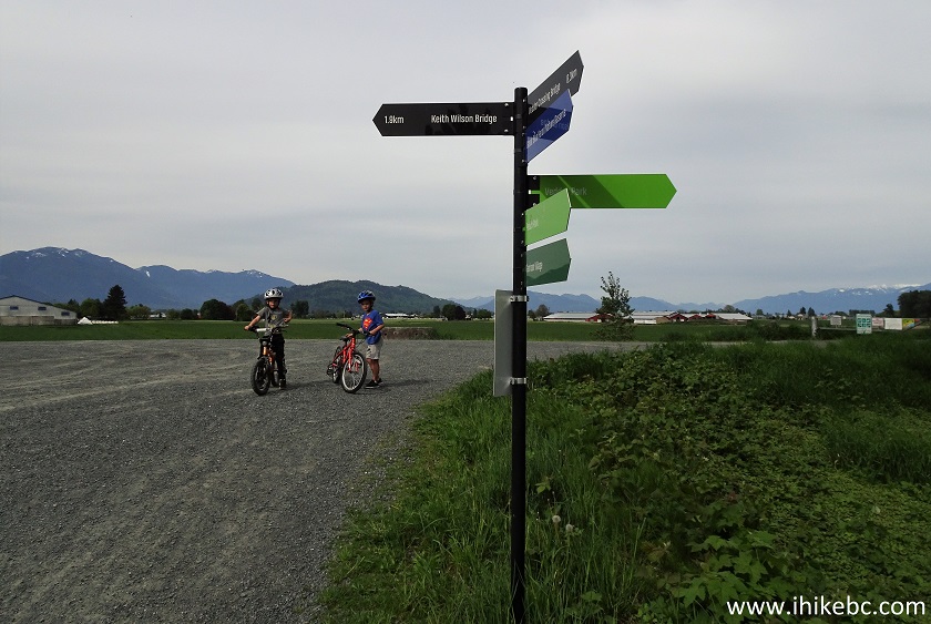
Vedder Rotary Loop Trail
27. And here is a T-junction, where Vedder North Dyke Trail goes back to Vedder Park (right turn) or to Keith Wilson bridge in 1.9 km (left turn). We turned left.
Vedder Rotary Loop Trail at Vedder North Dyke Trail
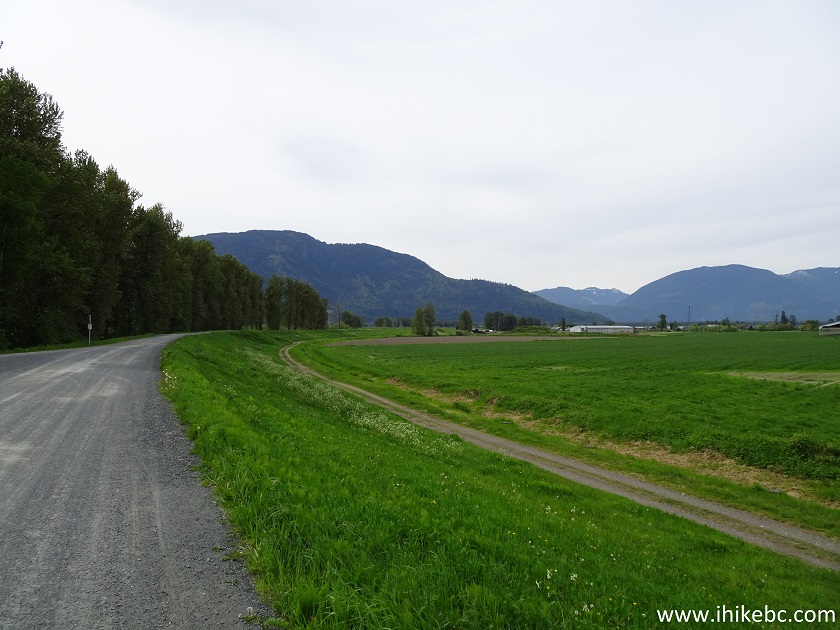
28. Vedder North Dyke / Vedder Rotary Loop Trail after the left turn.
Vedder North Dyke Trail
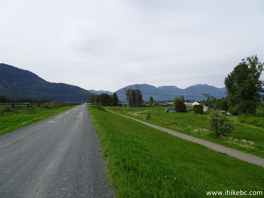
29. No shade here, so sun protection would be needed on dykes when the sun is out.
Vedder Rotary Loop Trail / Vedder North Dyke Trail
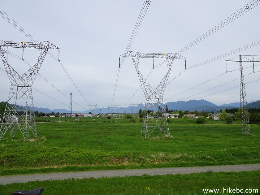
30. A few hundred meters before Keith Wilson Bridge, we stopped to check our GPS. There were overhead power lines, but nothing indicated any trouble ahead. All of a sudden, we felt electrocuted in the upper leg, where bare skin touched the metal frame of the bicycle. Suddenly, a slight buzzing noise started coming from the bike, as well as our synthetic shirt. Quite a surprise! These power lines energized the bicycle, so we got out of there as soon as we could.
Powerlines Above Vedder North Dyke Trail
31. Approaching Keith Wilson Bridge. You would need to go under the bridge, turn to the right, then get onto the bridge, cross it, turn to the right again, go under the bridge one more time, then get onto Vedder Dyke North Trail.
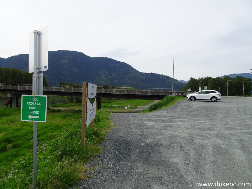
Vedder North Dyke Trail by Keith Wilson Bridge Chilliwack BC
Canada
32. We have gone under the bridge, turned to the right, and are about to start crossing it.
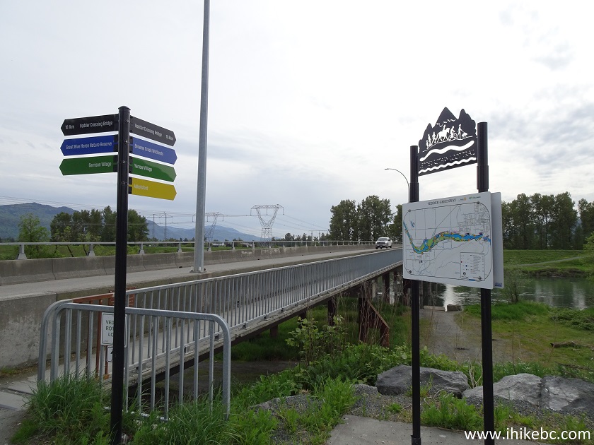
Keith Wilson Bridge at Vedder Rotary Loop Trail
33. Crossing Keith Wilson Bridge. Coordinates: N 49⁰06.189' W 122⁰04.562'. Elevation: 6 meters.
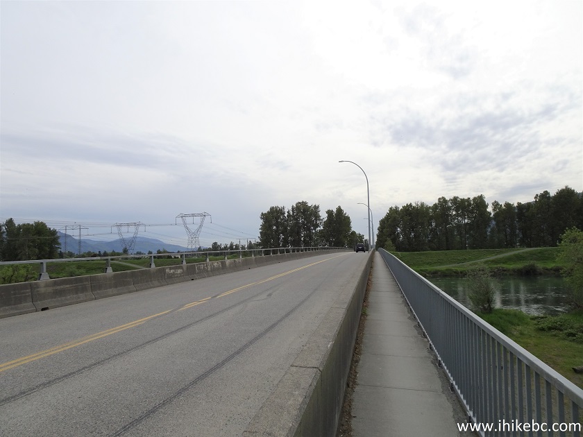
Keith Wilson Bridge Chilliwack BC Canada
34. A Vedder River view from the bridge.
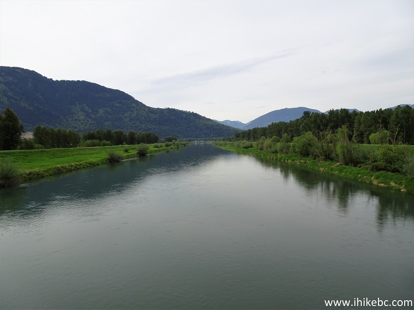
Vedder River Seen from Keith Wilson Bridge
35. We have now crossed the bridge, and are getting ready to turn right to go under the bridge again.
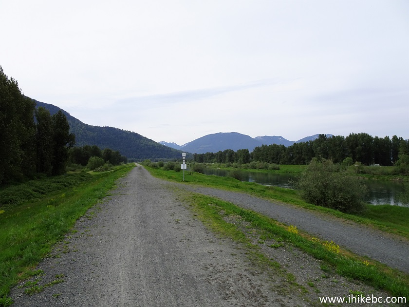
Vedder South Dyke Trail
Our Vedder Rotary Loop Trail trip report Continues on Page 2.
|
|
|
Other Trips in Chilliwack BC Area:
| Greendrop Lake Trail |
|
Teapot Hill Trail |
|
|
Mount Thom Trail |
|
|
Flora Lake Trail |
ihikebc.com Trip 205 -
Vedder Rotary Loop Trail (Chilliwack BC) Page 1 of 2


