
Trip 003 - July 28, 2009 (Tuesday)
Howe Sound Crest South Trail
Page 1 of 2
Near West Vancouver BC
Distance from Vancouver: 25-30 minutes
after crossing the Lions Gate Bridge via Highway 1 West (take Exit 8). The
trailhead is located
inside Cypress Provincial Park.
Liked: Views of Howe Sound, views of The Lions, relative solitude on a weekday.
Of note: Dangerous trail with numerous opportunities to get hurt, hiking boots and poles highly recommended, countless flies, no shade at the parking lot. Long pants and a long-sleeved shirt are highly recommended to protect against vegetation and the flies. Also, carry a good bug spray or wear a head net (at least) to keep the flies from nibbling on your skin.
Vancouver, Coast & Mountains Backroad Mapbook (2010 edition) Trailhead Coordinates: Page 11 (North Vancouver) B4.
103 Hikes in Southwestern British Columbia (2008 edition): hike #37.
Related Website: Cypress Provincial Park - BC Parks.
Follow @ihikebc Tweet
To get to the trailhead, drive West on Highway 1 and take Exit 8 near West Vancouver. Fifteen kilometers later you would reach the Cypress Mountain parking lot.
Howe Sound Crest South trail begins at the top Cypress Mountain parking lot, and ends about 28 km later by Porteau Cove, where the trail is called Howe Sound Crest North. It was quite hot, about 26-28 degrees in the shade, and the 1.5 litres of water had to be stretched very carefully. This side of Howe Sound Crest trail is not as steep as the Northern part, but it is substantially more treacherous due to the trail being covered pretty much all the way with rocks and tree roots. We went flying twice, sprained an ankle, injured a toe, and came close to tumbling many more times precisely because of that. To complicate the matters, some seemingly solidly planted rocks are loose, so when you step on them, they move and cause you to lose balance. The ground was dry, but, still, it was quite a challenge to walk. To dare taking on this trail when the ground and the rocks are wet would be asking for trouble.
Watch out for switchbacks, as they happen fairly regularly, and, if you are not paying attention to the orange markers, you may end up getting lost.
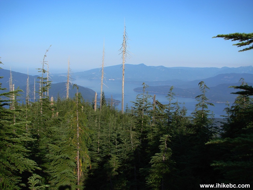
Your reward is seeing Horseshoe Bay and Howe Sound from above. And The Lions look closer and more impressive than from Vancouver. Our trip today went just a bit further than the end of improved trail.
1. The sign to the trail near the upper parking lot of Cypress Provincial Park.
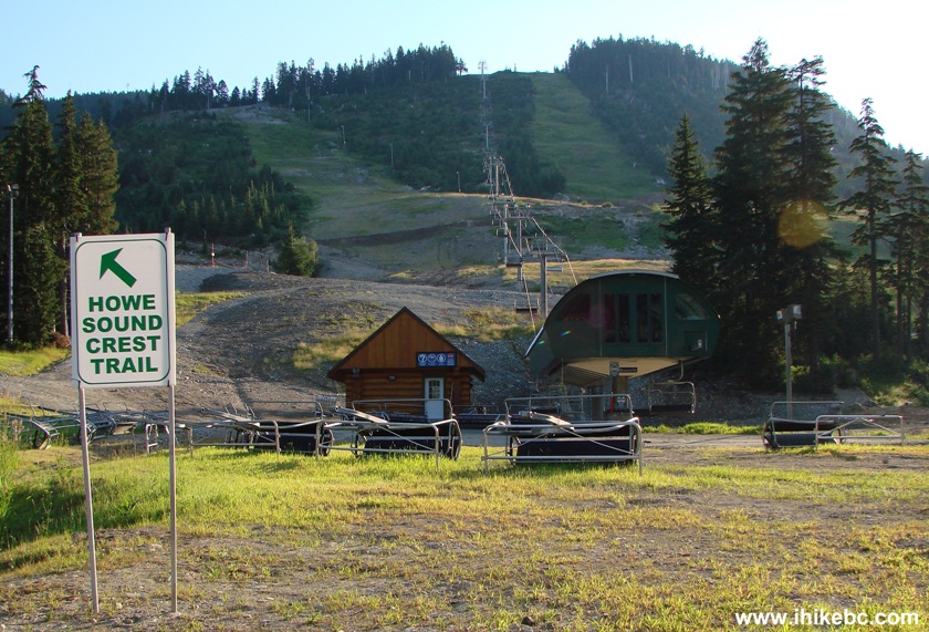
Howe Sound Crest trail sign at Cypress Mountain Provincial Park British Columbia
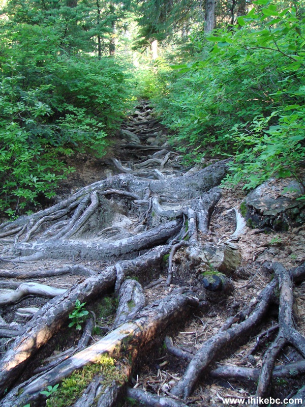
2. It wasn't all like that, but much of Howe Sound Crest South is very treacherous.
BC Hiking -
Howe Sound Crest South trail British Columbia Canada
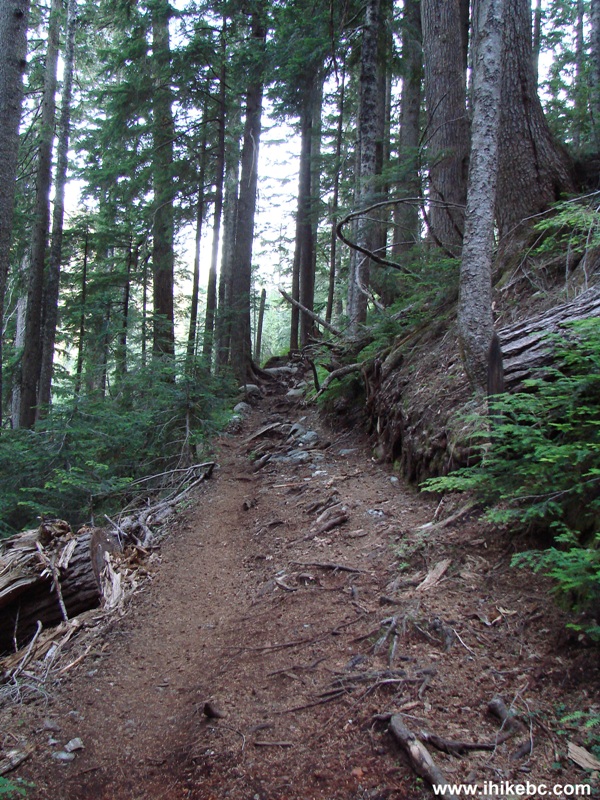
3. At first, you go through some woods, and then end up at the smoothest part of the trail - a gravel road lasting for 10-15 minutes.
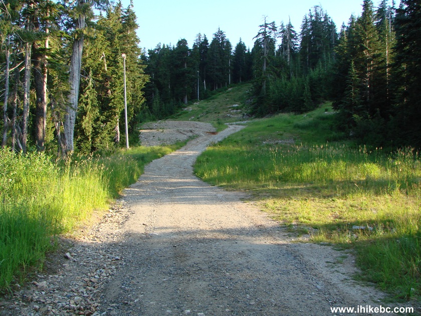
Howe Sound Crest South Trail BC - Hiking in British Columbia
4. This mountain chicken (grouse?) was walking on the road. Several similar birds were encountered along the trail.
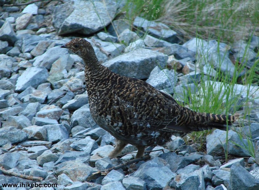
Grouse? at Cypress Provincial Park BC Canada
5. After the gravel part, the trail looks fairly good for a bit.
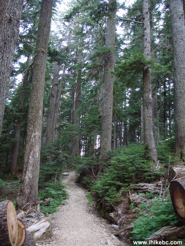
Howe Sound Crest trail British Columbia Canada
6. About 45 minutes of hiking brings you to an information stand, showing the map of the area and giving tribute to the man who helped to establish many trails we use today - Mr. Paul Binkert (1908-1995).
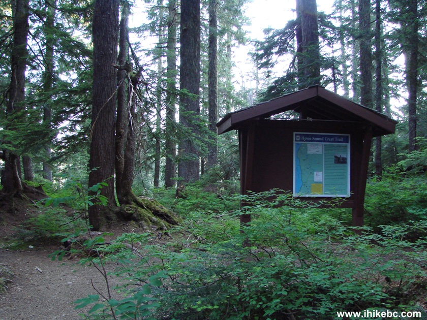
Howe Sound Crest South information stand British Columbia Canada
7. Right by the stand, there is a spur to Bowen Lookout.
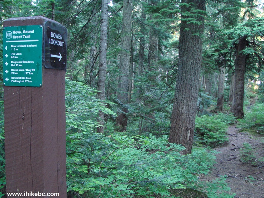
Bowen Lookout sign British Columbia Canada
8. If Bowen Lookout is your final destination, fine. But, otherwise, consider skipping the spur and save yourself about 40 minutes. There are much better views further down the trail (though it requires long and arduous hiking), and the trail to Bowen Lookout is overgrown. A baffling "closed" sign is nailed to a tree near the lookout. Perhaps, it refers to a roped off area nearby?
Bowen lookout British Columbia Canada
9. If you go past the Bowen Lookout spur, you will shortly see The Lions. This is a naked eye view.
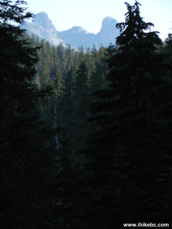
The Lions Mountain British Columbia Canada
10. Zooming in approaches The Lions considerably.
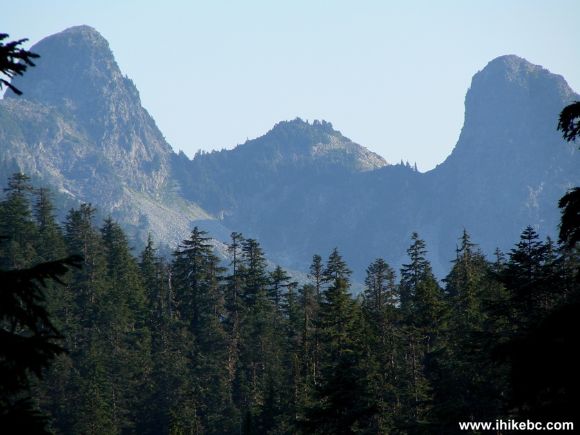
The Lions British Columbia Canada
11. And, then, the ankle-breaking trail begins in earnest. You get tested by the rocks...
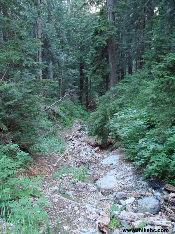
BC Hiking -
Howe Sound Crest trail
12. ...and by the roots. And some parts of the trail are even more complicated.
Hiking in BC -
Howe Sound Crest South
13. This is where we came close to tumbling into the abyss - the vegetation hides the edge of the trail, and one wrong step would send you flying. Remember this fallen tree, and be extra careful in this area.
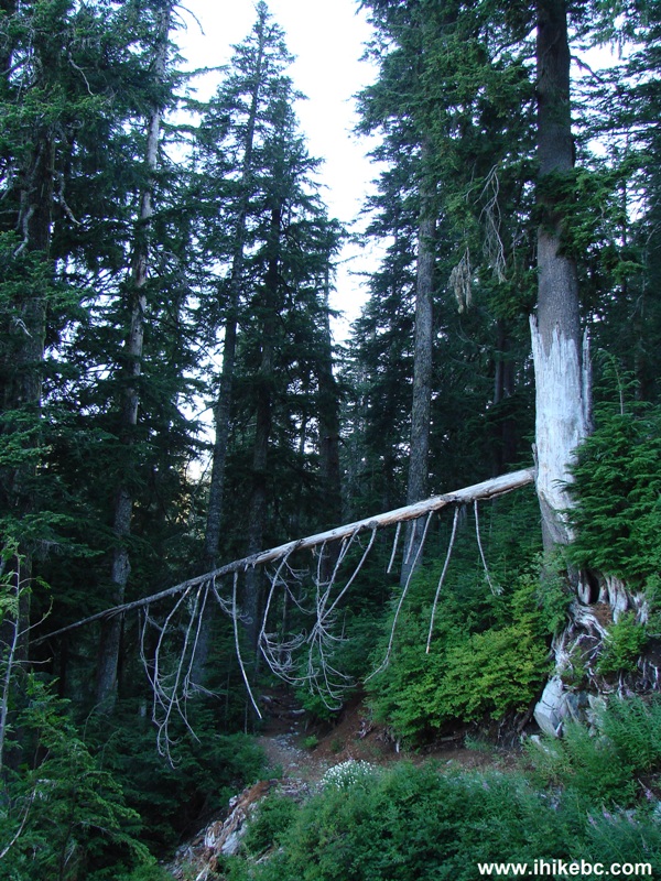
Howe Sound Crest South trail British Columbia Canada
Our Howe Crest South Trail Hike trip report Continues on Page 2.


|
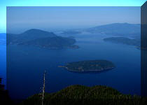 |
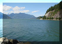
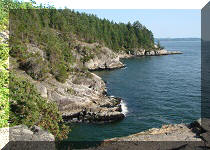
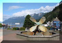
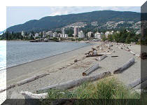
Other Trips in West Vancouver Area:
|
|
|
|
|
 |
|
![]()
![]()
![]()
ihikebc.com Trip 003 - Howe Sound Crest South Trail Page 1 of 2