![]()
![]()
![]()

Trip 227 - August 23, 2021 (Monday)
Elsay Lake Trail Hike
Mount Seymour Provincial Park near North Vancouver, BС
Page 2 of 2
Liked:
Elsay Lake views, several fine mountain and valley views, very few bugs, hut by the lake (albeit with a resident mouse).Of Note: A very difficult long (21 km total hiking round-trip from the parking lot) trail suitable for experienced well-equipped hikers only. Several scrambling sections. Several small creek crossings. A few boulder fields. The trail is slightly overgrown in places - long-sleeved shirt and long pants are recommended. The path is very narrow at times, with steep drop-offs. The trail starts with a substantial elevation drop (much uphill hiking is required at the end of the trail on the way back). Hiking poles and boots are essential.
Vancouver, Coast & Mountains Backroad Mapbook (5th edition) Trailhead Coordinates: Page 11 (North Vancouver) G6.
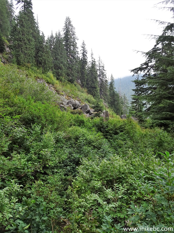
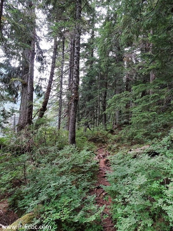
27. A few parts of the trail are somewhat overgrown, just like here at the 3.40 km mark. Long pants and a long-sleeved shirt would keep the scratches (and tics?) away.
Elsay Lake Trail in Mount Seymour Provincial Park
28. The toughest scrambling section arrives at 3.9 km. It's quite short, and not terribly difficult, but may prove complicated, if the stones would be wet.
Elsay Lake Hike in Mount Seymour Provincial Park British Columbia Canada
29. Cross the boulder field and re-enter the forest.
Elsay Lake Trail in British Columbia Canada
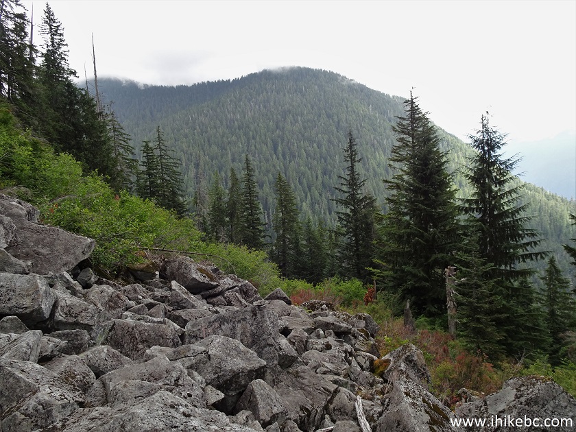
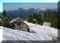
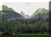
30. On of the few (for such a long trail) decent views comes at 4.35 km (slightly zoomed).
View from Elsay Lake Trail - North Vancouver Hike
31. At 4.60 km, the only sign to Elsay Lake (after the trailhead) is prominently displayed on a tree.
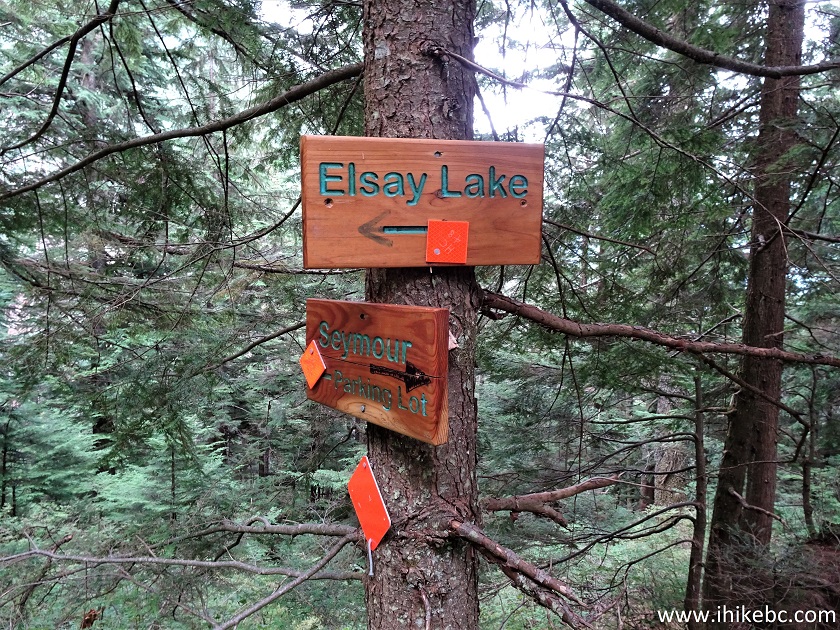
Elsay Lake Sign
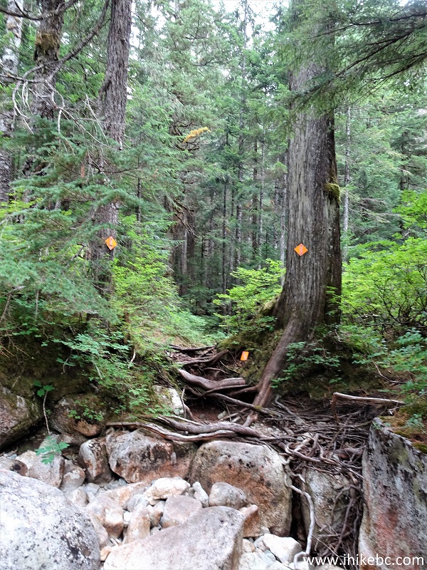
32. Elsay Lake Trail at 5.15 km.
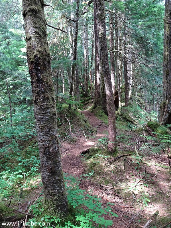
Elsay Lake Trail
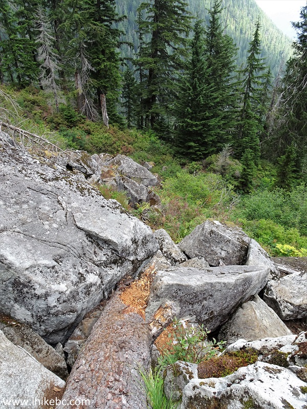
33-34. At 5.7 km, you need to cross a boulder field above a mini-waterfall. Coordinates:
N 49⁰24.695' W 122⁰55.454'. Elevation: 711 meters.

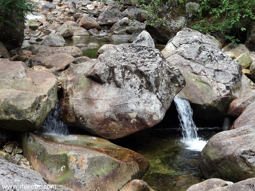
Mount Seymour Provincial Park - Elsay Lake Trail
35. Here is the boulder field to be crossed.
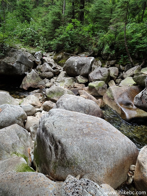
Elsay Lake Trail in North Vancouver BC Area
36. The trail continues on the other side.
Hiking in North Vancouver Area - Elsay Lake Trail
37. A small creek crossing at 6.0 km.
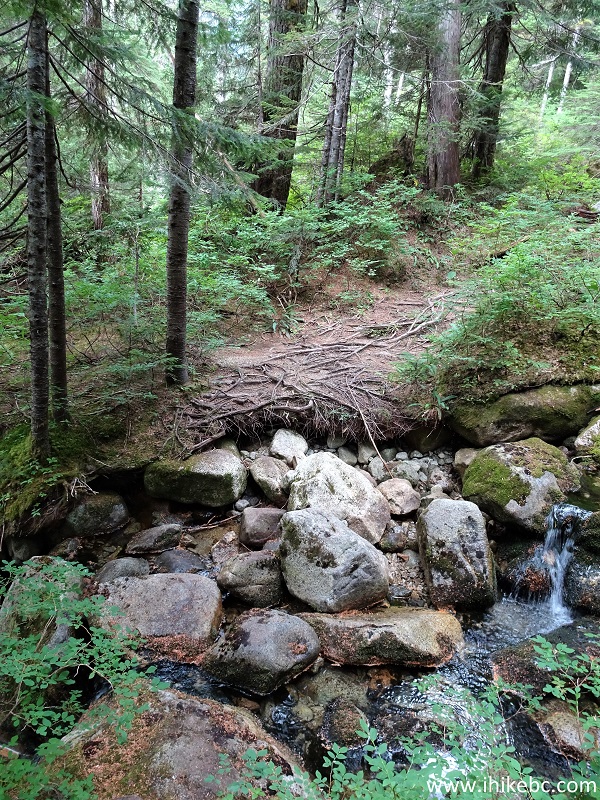
Elsay Lake Trail Creek Crossing
38. Then, at 6.30km, there is a large meadow, with wood planks forming a bridge of sorts.
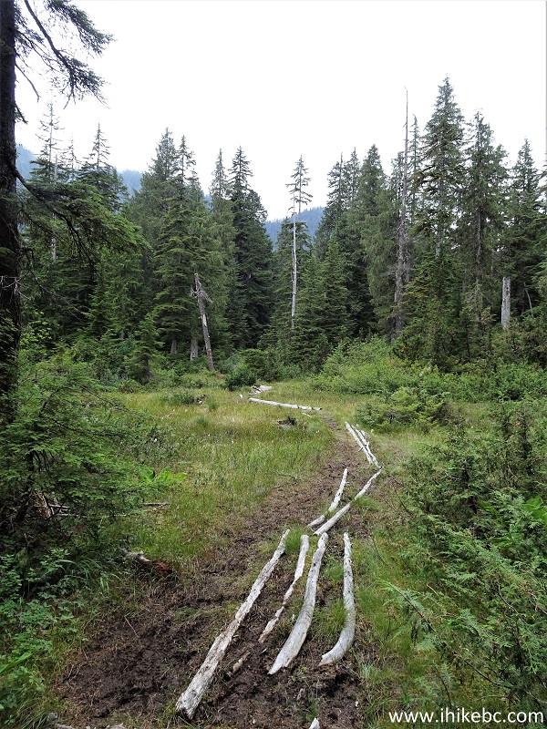
Elsay Lake Trail - Hiking in British Columbia
39. Elsay Lake finally arrives at 6.8 km from the trailhead. Coordinates:
N 49⁰24.951' W 122⁰56.135'. Elevation: 738 meters.
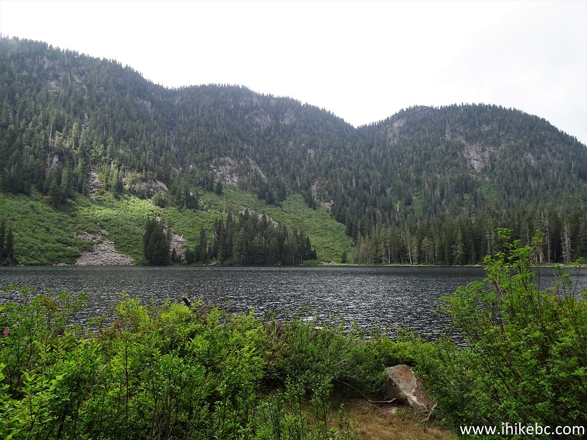
Elsay Lake
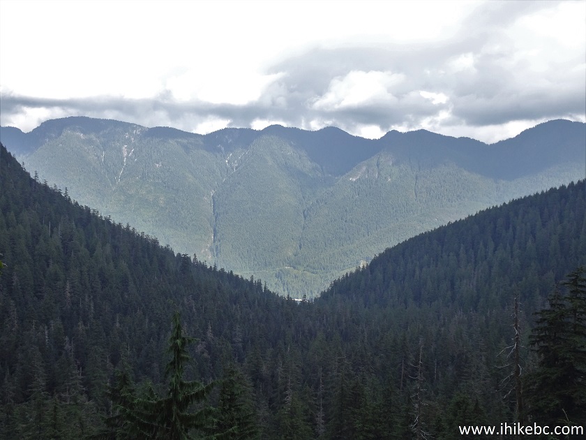
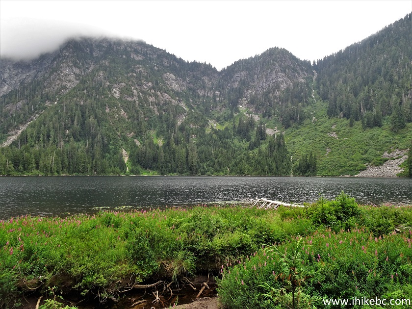
40-42. Here is a view of Elsay Lake from this point. Left to right.


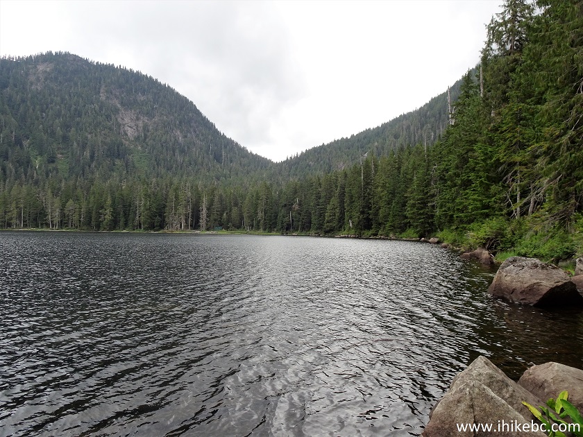
Elsay Lake British Columbia
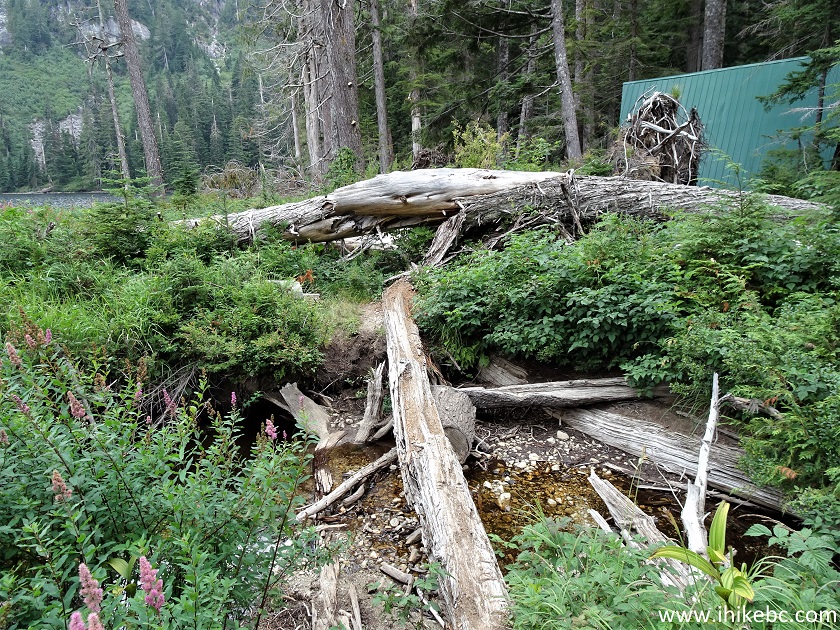
43. To reach the hut, hike for another kilometer along the lake on the right side.
Elsay Lake Trail in North Vancouver Canada Area
44. Elsay Lake near the hut.
Elsay Lake in North Vancouver Area
45. The final fifty meters.
Hiking Elsay Lake Trail
46. Hello, Elsay Lake hut. Coordinates:
N 49⁰25.136' W 122⁰56.266'. Elevation: 738 meters (512 meters elevation loss from the trailhead).
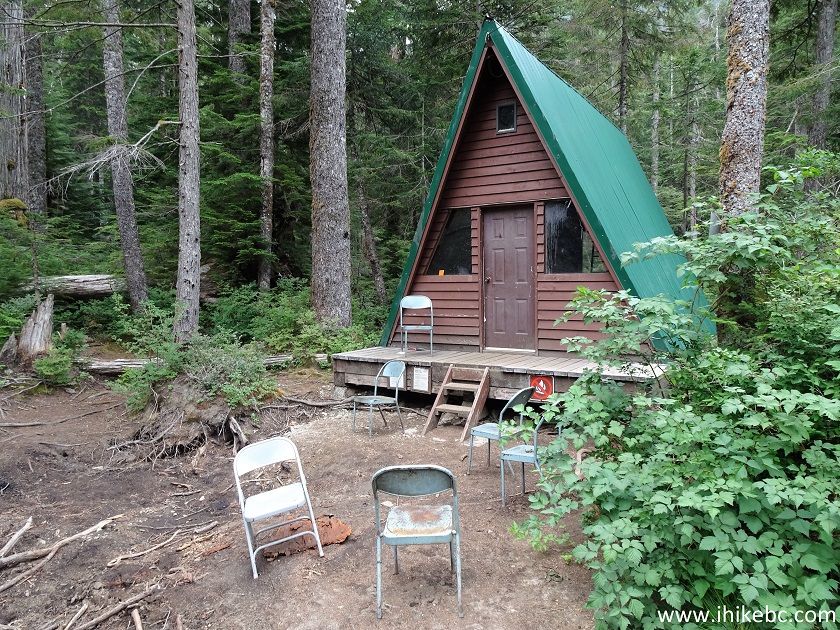
Elsay Lake Hut
47. The view from the porch.
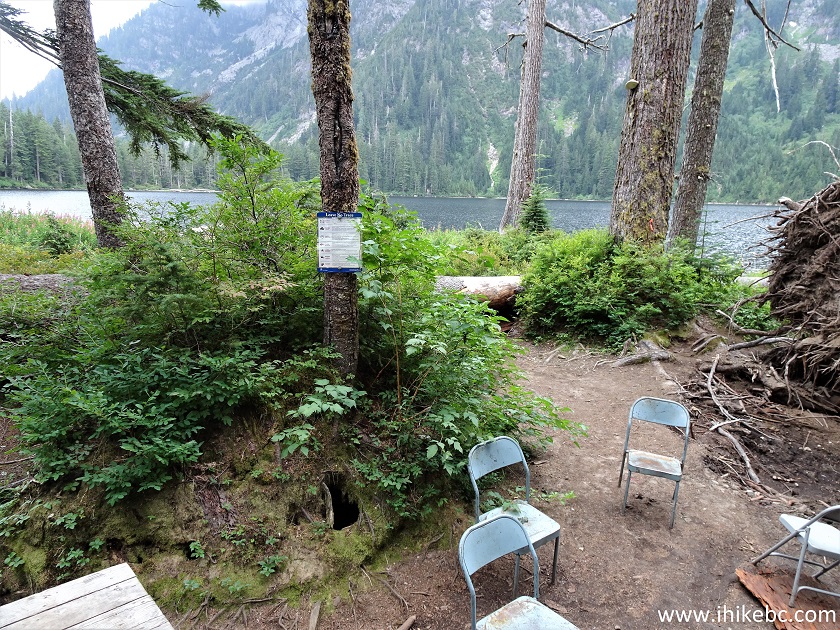
View From Elsay Lake Shack
48. Inside the hut, looking in. Beware of a mouse!
Inside Elsay Lake Hut
49. Inside the hut, looking out.
Elsay Lake Hut
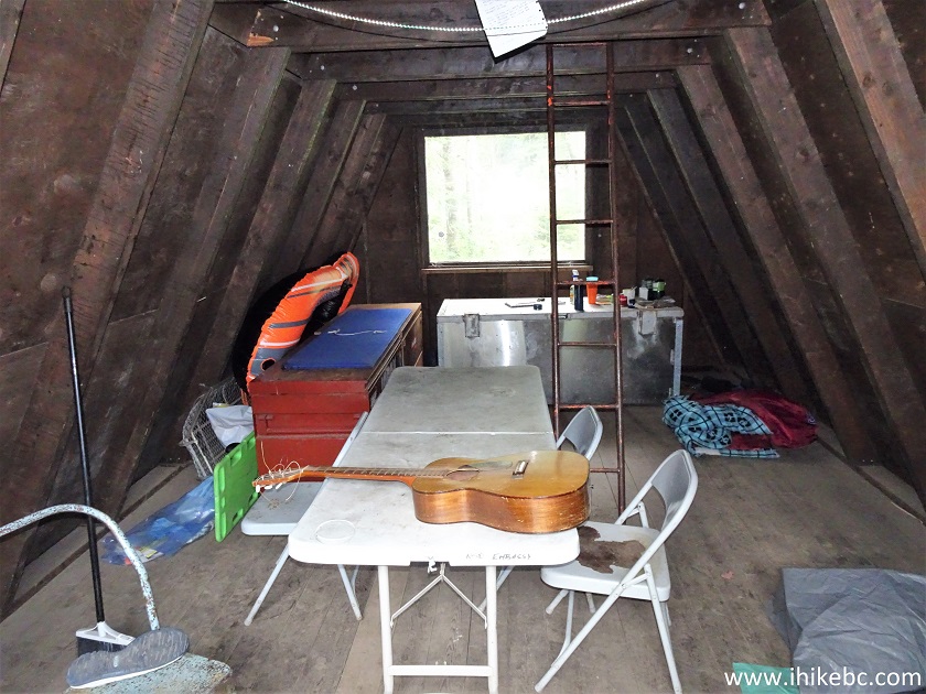
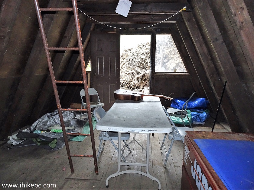
50. The view upstairs.
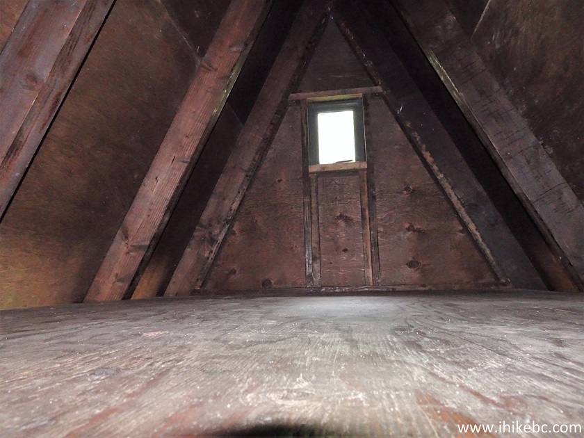
Elsay Lake Hut Upstairs
Here is our video of Elsay Lake and the Exterior of the Hut.
More ihikebc videos are on our YouTube Channel.
Can't say we enjoyed this hike, as it was way too difficult, and the views, especially compared to Mount Seymour Trail, were nothing to write home about. But, if you are hiking for other reasons and are experienced enough and properly equipped for this trail, Elsay Lake might prove to be a good destination or an exploration base.


|
 |
Other Trips in North Vancouver Area:
|
|
|
|
|
|
|
|
|
|
|
|

![]()
![]()
![]()
ihikebc.com Trip 227 - Elsay Lake Trail Hike (near North Vancouver BC) Page 2 of 2