![]()
![]()
![]()

Trip 183 - May 15, 2020 (Friday) and October 3, 2023 (Tuesday)
McGillivray Creek Trail Hike
Between Lytton and Lillooet BC Canada
Page 2 of 2
Trailhead
Location: 9.5 km of McGillivray FSR, which
starts off BC Highway 12, approximately 30 kilometers South of Lillooet
and 35 km North of Lytton.
Liked: Several fine mountain views, a neat sub-alpine, shade in the forest, no bugs.
Of Note: Remote wilderness area. Lots of snow on the trail until late in the season, some manure on the trail, a few fallen trees, several steep stretches with loose stones. Hiking poles and boots are essential. Navigation could be difficult at times - a GPS is highly recommended.
Vancouver, Coast & Mountains BC Backroad Mapbook (2nd edition) Approximate Trailhead Coordinates: Page 44 (Lillooet) C7.
Another Trip off McGillivray Creek FSR: BC Highway 12 Valley Lookout Trail.
We found out about McGillivray Creek Trail from the second edition of "Canyon to Alpine" book, describing hikes in the Lillooet area. The book promised good views, and so we went. The access to the trailhead is via a deactivated McGillivray Creek Forest Service Road. This FSR is in decent shape but, alas, at the 6.1 mark there was a slide in May of 2020 (fixed as of October 2023), which would have stopped all but very capable 4x4 vehicles and ATVs. Fortunately, the trailhead was not too far from the slide, but it did add almost 7 kilometers round-trip hiking in May of 2020.
There are several creek crossings on McGillivray Creek Trail. The creek was narrow enough that no wading was required, so our flip-flops remained in the backpack, but hiking poles proved very useful in jumping over those creek crossings. There were no signs or flagging tape, and the trail, at times, disappeared, but the direction of travel was, mostly, quite obvious.
On May 15th, because of deep snow and an extra 3.4 km we had to hike to the trailhead, we did not get to the end, though there were still some decent views to be had. However, the main attraction of the hike was still ahead of us, so we decided to return. Thus, the first page of this trip report describes our May 15th hike, while the second page talks about the rest of the trail, which we visited on October 3, 2023.
*All trail distances are based on a GPS odometer and are approximate.
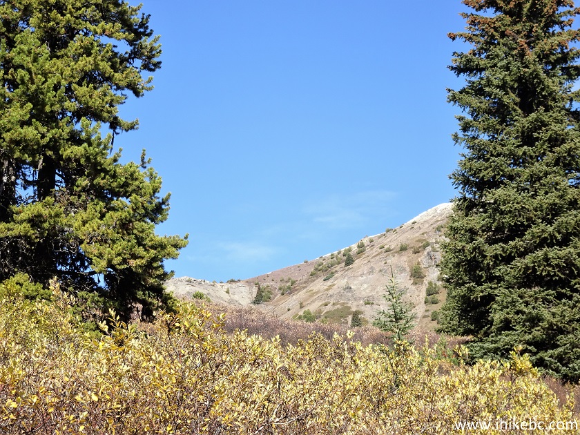
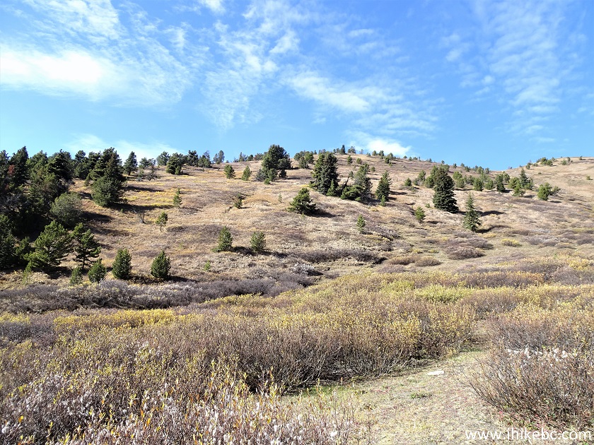
38. On October 3, 2023, we returned to McGillivray Creek Trail and managed to finished it this time around. We restart our coverage with a photo of Midway Mountain, located at 2.9 km from the trailhead.
Mountain off McGillivray Creek Trail
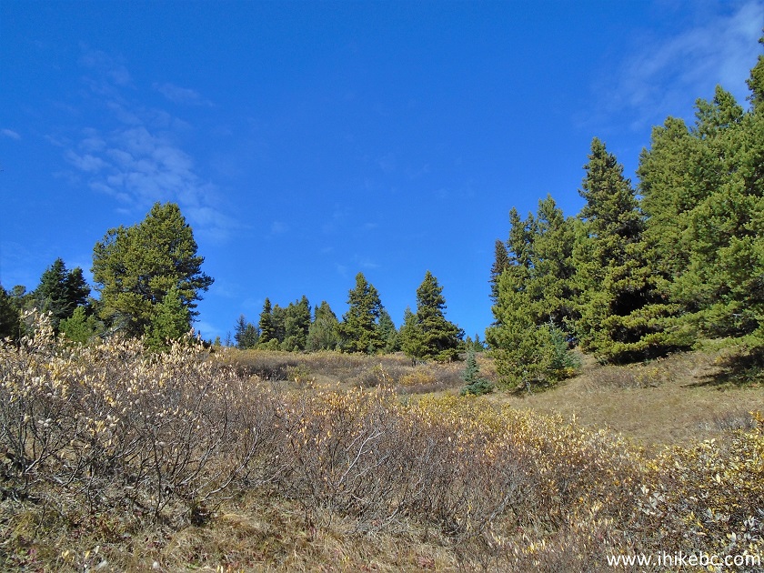
39. The trail past Midway Mountain goes through a featureless forest for a bit, first along the creek, and then away from the creek. At 4.1 km here.
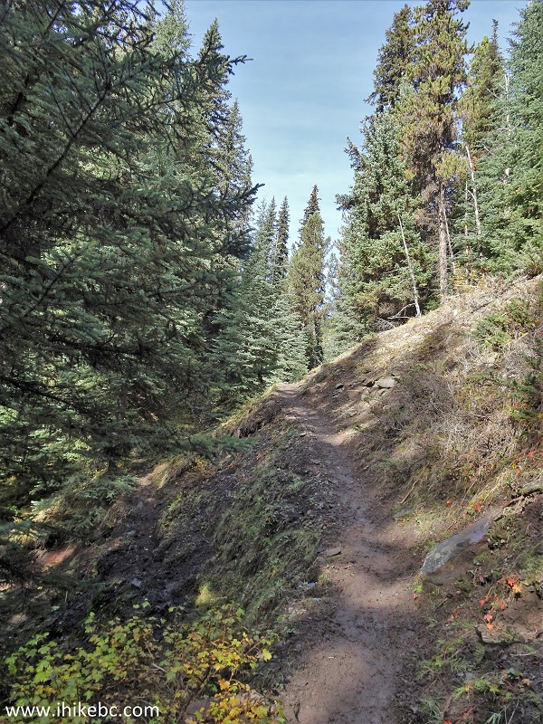
McGillivray Creek Hike near Lytton BC
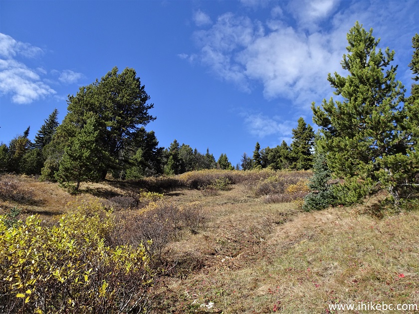
40. Now at 4.65 km of McGillivray Creek Trail.
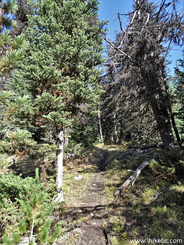
McGillivray Creek Trail near Lillooet BC
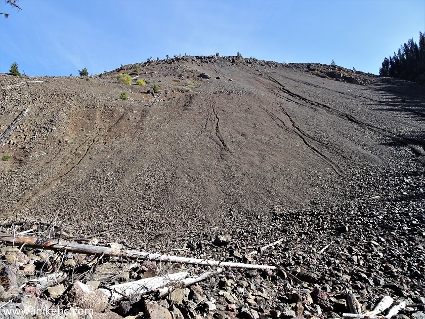
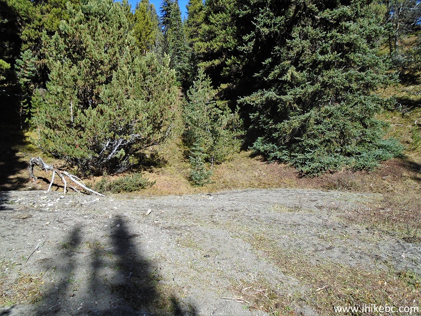
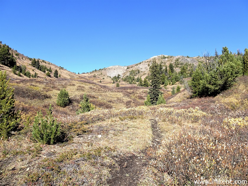
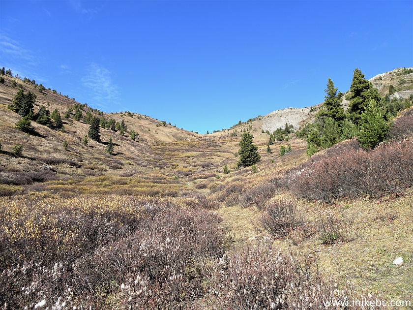
41. A rather confusing spot arrives at the 5.0 km mark of the trail, as this area is a bit overgrown.
McGillivray Creek Hike in British Columbia Canada
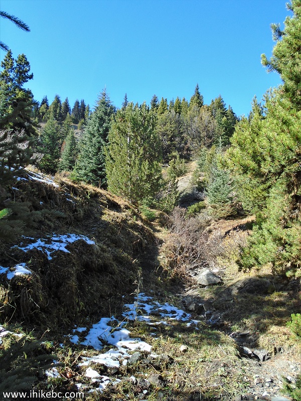
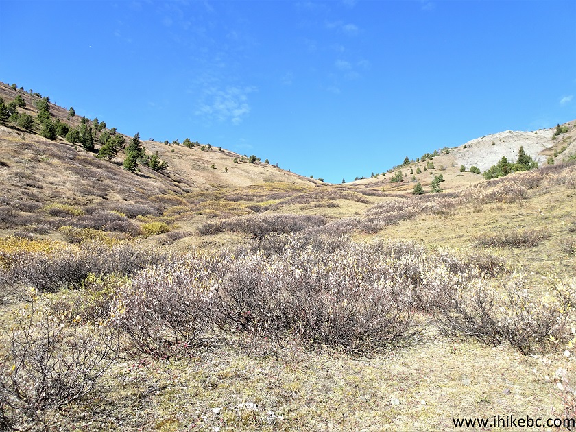
42. Basically, keep going straight and slightly left. There is this open area 20 meters later. It would be the best to have a GPS and get to the next point using GPS coordinates.
Lytton Hiking - McGillivray Creek Hike
43. 70 meters past the open area seen in the photo above. Coordinates: N 50⁰35.027’ W 121⁰41.172’. Elevation: 1,930 meters.
Lillooet Hike - McGillivray Creek Trail
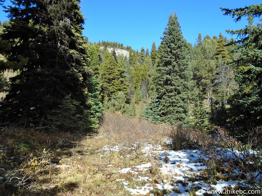
44. A small camping area at 5.35 km of McGillivray Creek Trail.
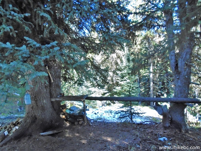
McGillivray Creek Trail Camping Area
45. 40 meters later.
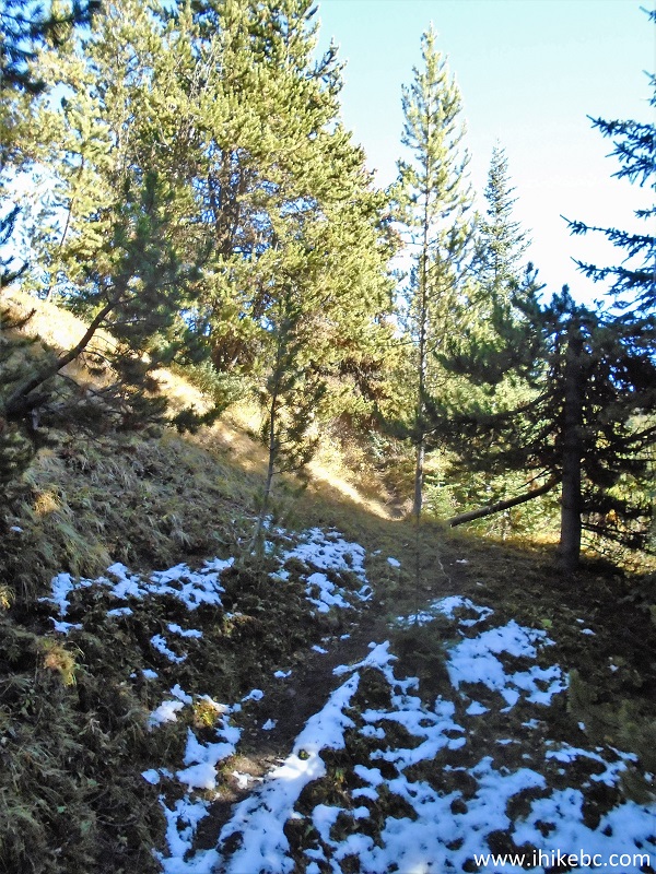
McGillivray Creek Trail
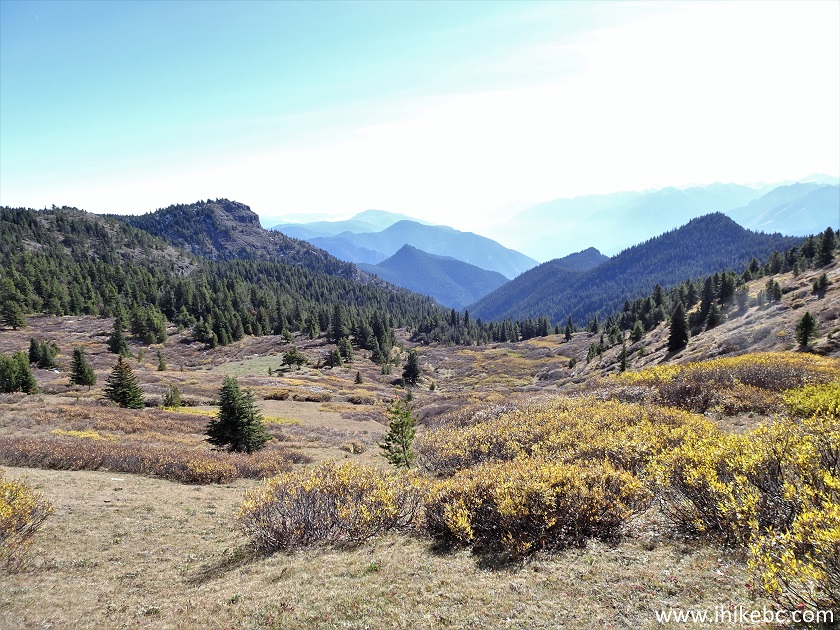
46. And this is where you eventually want to end up, no matter how you get here - at 5.5 km from the trailhead is the start of sub-alpine. Coordinates: N 50⁰35.145’ W 121⁰40.994’. Elevation: 1,960 meters. From here to the apparent end of the trail (end of the climb and reaching a plateau of sorts) is about 560 meters. It took us much longer on the way up as we meandered around trying to find the best way forward.
McGillivray Creek Hike
47. 25 meters later. Keep a bit right while climbing up.
Hike in Lytton Area - McGillivray Creek Trail
48. At 75 meters, it is becoming obvious which way to proceed.
Hike in Lillooet Area - McGillivray Creek Trail
49. At 270 meters, we are in a shallow valley and the path is quite clear - straight and up.
British Columbia Hiking - McGillivray Creek Trail
50. Now at 450 meters of sub-alpine.
McGillivray Creek Trail sub-alpine area
51. Looking left.
Hiking in Canada
52. At the 565 meter mark.
McGillivray Creek Hike near Lytton British Columbia Canada
53. Looking back at 805 meter of sub-alpine.
McGillivray Creek Trail near Lytton BC
54. At 980 meters, we see a mountain peak ahead.
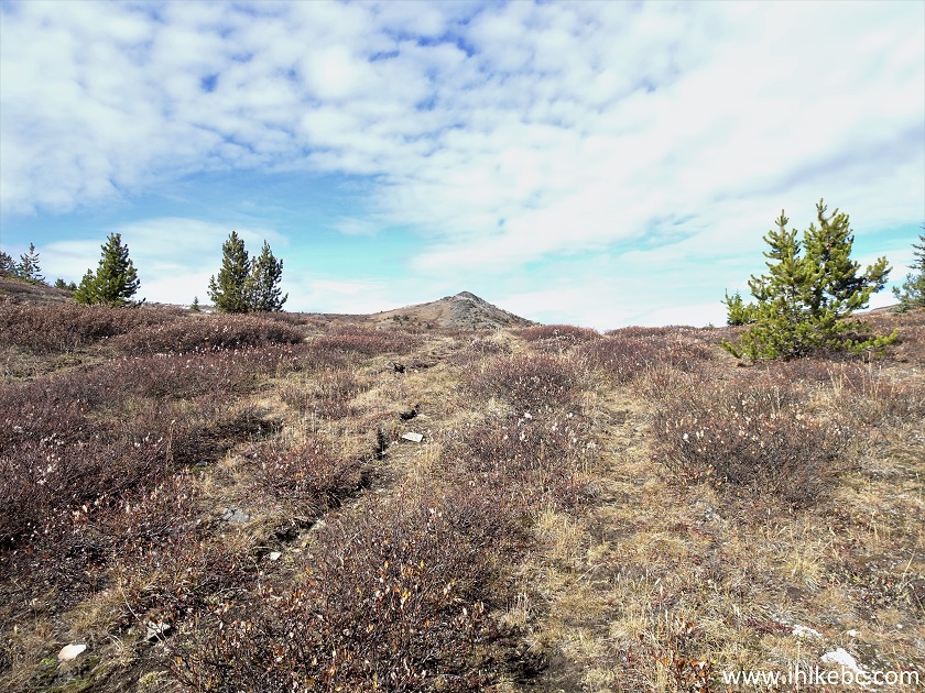
McGillivray Creek Hike in the Province of British Columbia Canada
55. At 1.03 km (took only 560 meters back), we have reached a plateau and this just might be the end of McGillivray Creek Trail. The mountain ahead could be Blustry Mountain, but not 100% sure. Coordinates: N 50⁰35.574’ W 121⁰41.033’. Elevation: 2,160 meters. Sub-alpine climb grade: 35% (likely a bit less). Total trail grade: 16%.
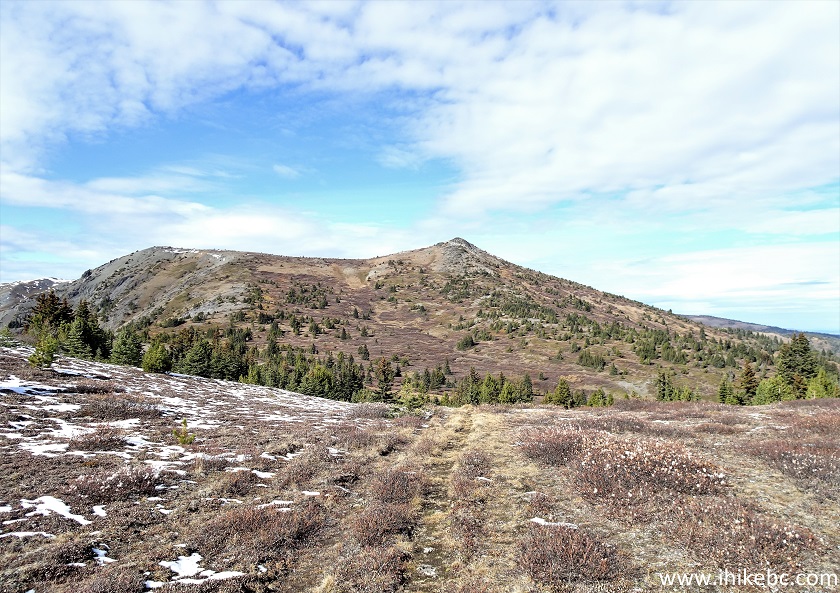
Blustry Mountain
56. Here is Blustery (?) Mountain with a zoom. Appears to be easily climbable.
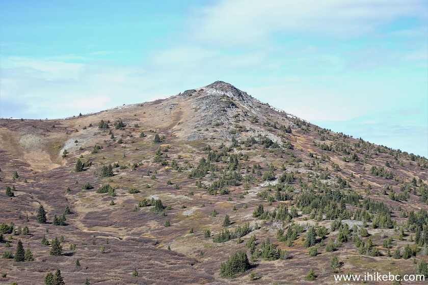
Blustry Mountain British Columbia Canada
Here is our video of the views from this location.
More ihikebc videos are on our YouTube Channel.
57-58. We didn't have time to go much further, so went a bit to the left. Good views (plain and zoomed).
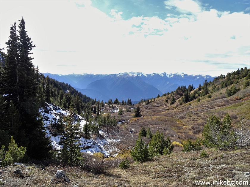
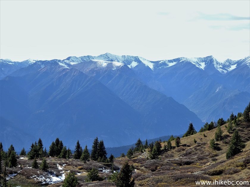
Mountains of British Columbia
McGillivray Creek Trail, despite the snow staying till late in the season, is not very difficult and offers many good views plus the ability to explore much further. Highly recommended.


|
 |
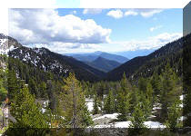
Other Trips in Lillooet Area:
|
|
|


|
|
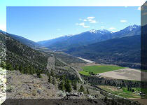
Red Rock
Trail Hike |
|

![]()
![]()
![]()
ihikebc.com Trip 183 - McGillivray Creek Trail Hike (near Lillooet BC) Page 2 of 2