Trip 071 - September 5, 2014 (Friday)
Mount Seymour Trail Hike
Mount Seymour Provincial Park
Page 2 of 3
Distance From Vancouver (South End of Lions Gate
Bridge): Approximately 27 kilometers. Cross the Lions Gate Bridge and take the
North Vancouver exit. North Vancouver has the most confusing road
network in the entire Metro Vancouver, so forgive us for not giving
detailed driving instructions - use a map or a GPS to get to Mount
Seymour Provincial Park.
Liked: Great natural views - this is one of the most spectacular trails in Southwestern British Columbia. Panoramic views of Metro Vancouver.
Of note: The trail is very popular - expect substantial crowds on weekends and holidays. Hiking boots and poles are recommended to the first pump (peak), and are highly recommended to the second and the third (main) peak. The trail beyond the first peak is NOT recommended for hiking in wet and, especially, icy conditions. Tree cover is minimal - sun protection required. Ran into several nudists at Mystery Lake.
Vancouver, Coast & Mountains Backroad Mapbook (2010 edition) Coordinates: Page 11 (North Vancouver) G6.
103 Hikes in Southwestern British Columbia (2008 edition): hike #43.
Related Website: Mount Seymour Provincial Park - BC Parks Official Site.
Follow @ihikebc Tweet
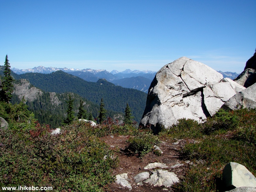
17. Here, around the first peak, would be a good place to finish your hike if you do not have hiking boots and poles. The trail gets substantially tougher after that.
Hiking in British Columbia -
Mount Seymour Provincial Park BC Canada
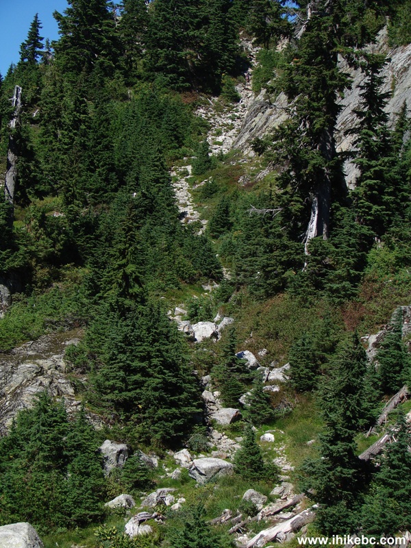
18. The promised substantially tougher trail.
North Vancouver Hike -
Mount Seymour Trail British Columbia Canada
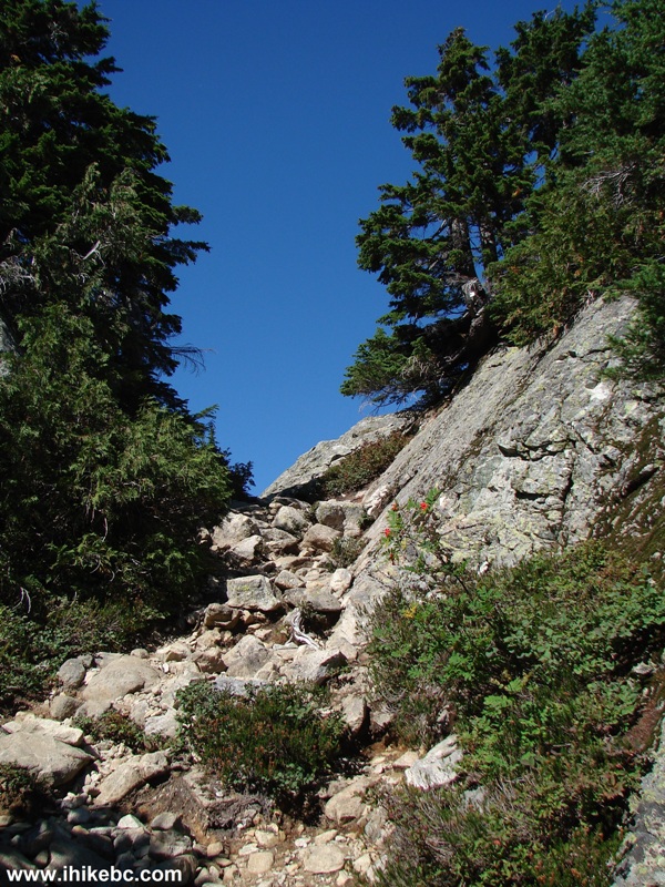
19. A bit further on.
Hiking in North Vancouver Area - Photo of Mt. Seymour Trail BC Canada
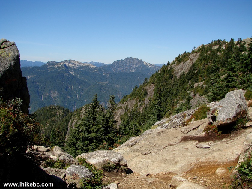
20. We are close to the second pump (peak) now, with Cathedral Mountain lurking far in the background.
Mount Seymour Provincial Park BC Canada
21. About 25 minutes after hiking by the first peak, we are approaching the second. There is another warning to unprepared hikers.
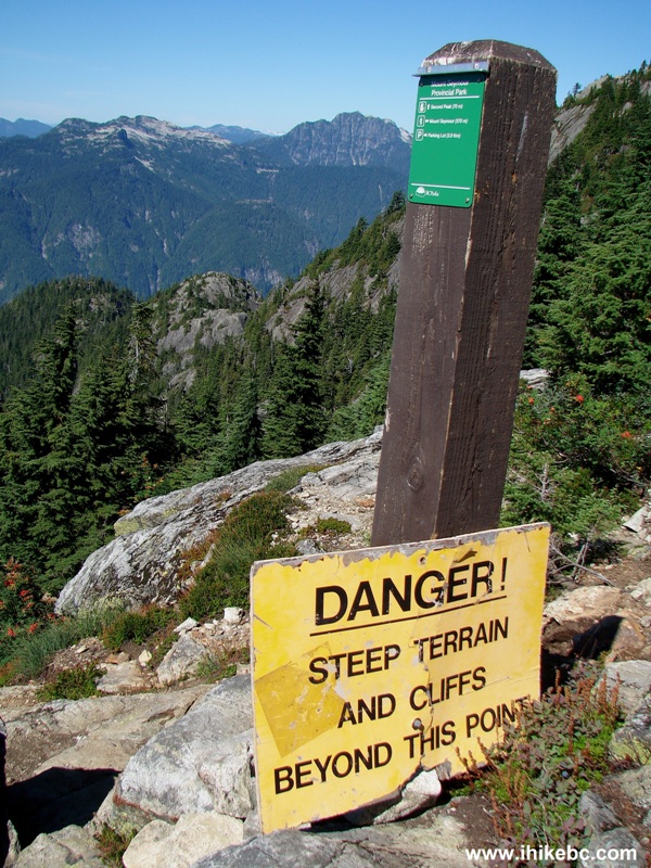
Mount Seymour Provincial Park BC Canada
22. How steep? Something like this.
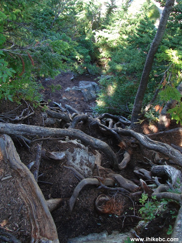
Mount Seymour Trail - Hike BC Canada
23. And like that.
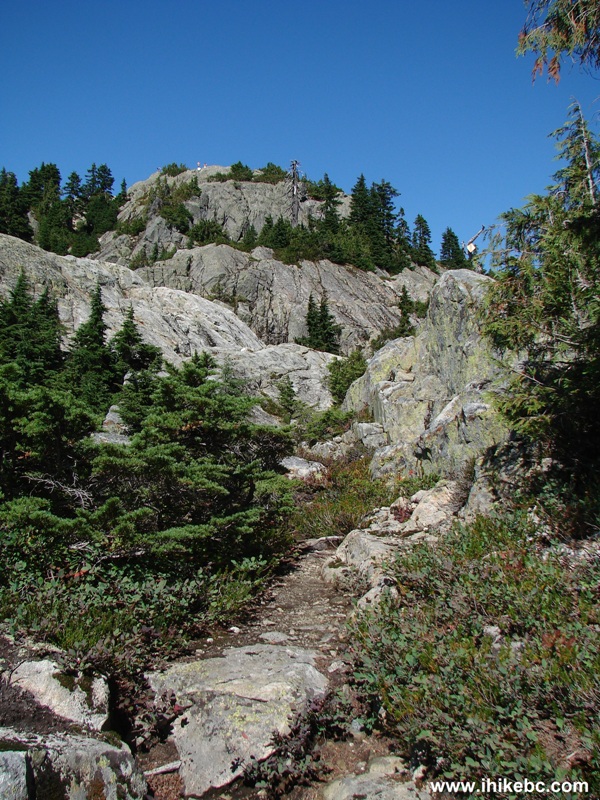
Picture of Mount Seymour Trail - British Columbia Hiking
24. The most dangerous part of the trail is when you are walking for about a hundred feet on a path barely wide enough for one person to walk on, with a wall of rock on your right side, and a very steep drop-off on the left. There is no barrier or guard rail at all. One slip, and things would go South in a hurry. We have no photo of that dangerous stretch, as all our attention was devoted to safely getting to the other side. Instead, here is a photo of the path very close to the third (true) peak of Mount Seymour.

Mount Seymour Trail Hike BC Canada
25. Here it is, the third peak of Mount Seymour. And it was busy. There were five or six people on the peak, and hikers were coming and going quite steadily. It took us about two and a half hours from the start of the trail to reach the third peak.
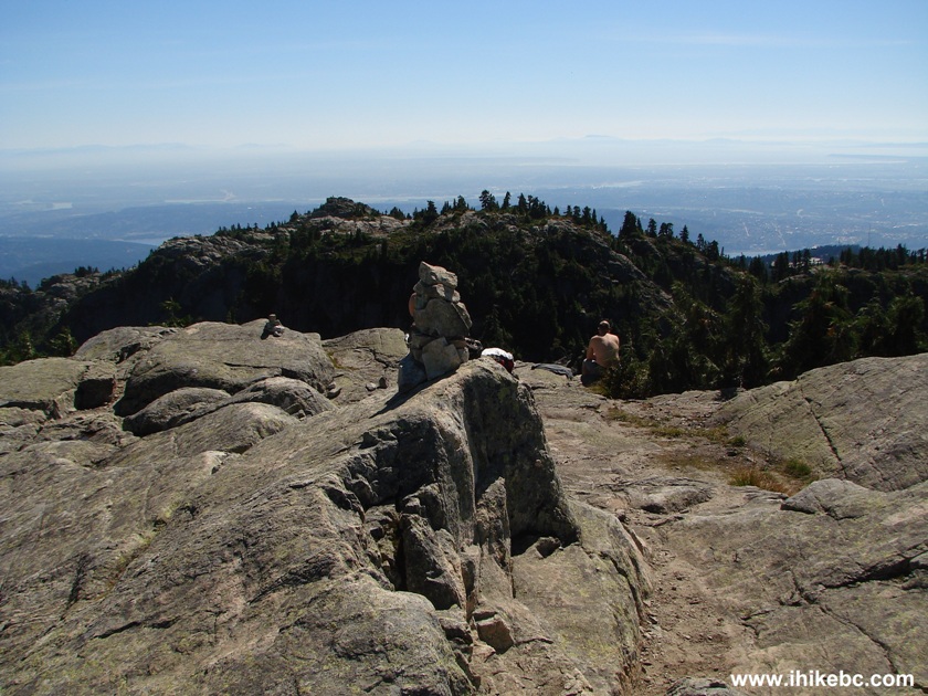
Mount Seymour Third (Main) Peak British Columbia Canada
26. The views from the top of Mt. Seymour are definitely worth the hike.
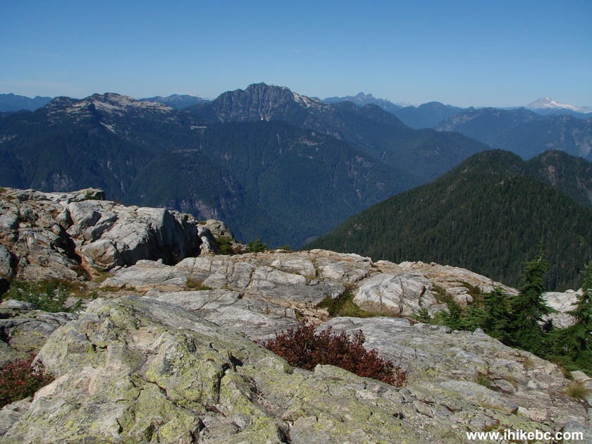
View from the Main (Third) Pump (Peak) of Mount Seymour BC Canada
27. One more. Cathedral Mountain is seen again in the far middle.
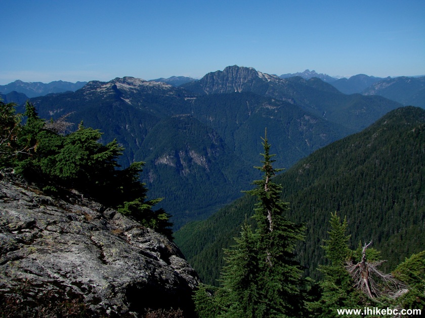
View from Mount Seymour Third Peak BC Canada
28. Another one.
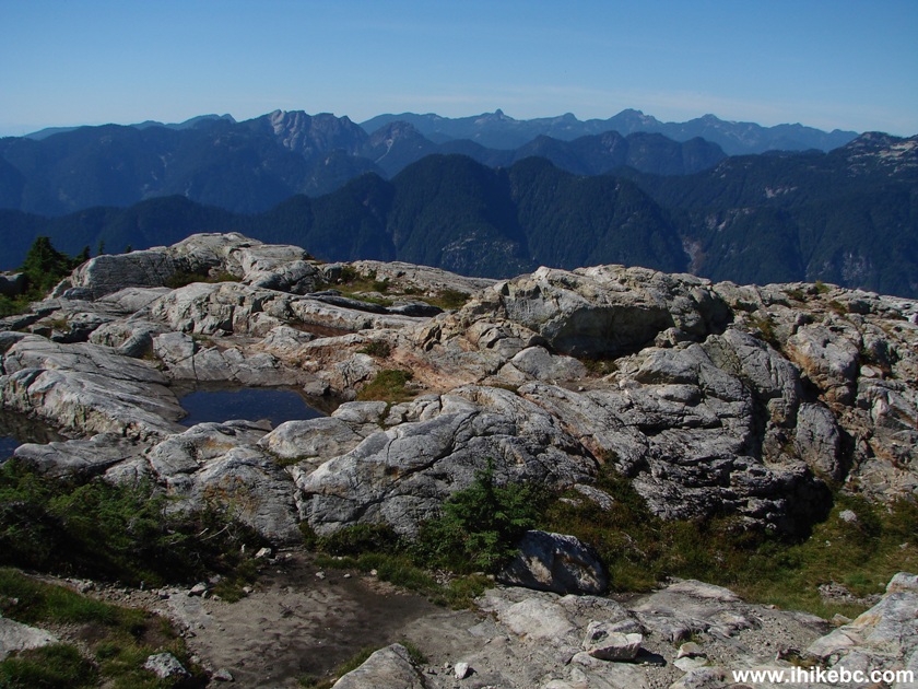
View from the Main (Third) Peak of Mount Seymour BC Canada
29. You could also see almost all of Metro Vancouver from up there.
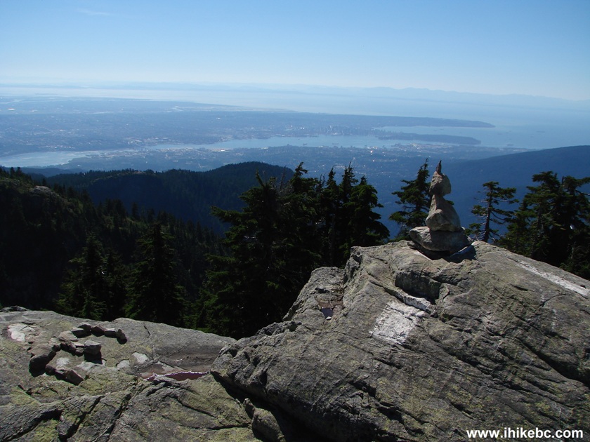
Metro Vancouver Seen From The Main (Third) Peak of Mount Seymour BC
Canada
30. 12x zoom of downtown Vancouver. Two cruise ships can be seen docked at Canada Place.
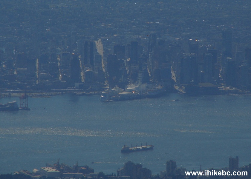
Downtown Vancouver Seen from the Main Peak of Mount Seymour British
Columbia Canada
Here is our video of the view from the third (true) peak of Mt. Seymour.
The mountain we zoom in at the 5 second mark is the first peak, and 45 seconds into the clip we zoom in to see Mount Baker in Washington state.
More ihikebc videos are on our YouTube Channel
Our Mount Seymour Trail Hike Trip Report Continues on Page 3.
|
 |
Other Trips in North Vancouver Area:
|
|
Follow @ihikebc Tweet
ihikebc.com Trip 071 - Mount Seymour Trail Hike (near North Vancouver BC) Page 2 of 3


