![]()
![]()
![]()

Trip 185 - May 29, 2020 (Friday)
Greer Creek Falls Trail Hike
Near Vanderhoof BC
Trailhead Location: Approximately 60 kilometers from the town of Vanderhoof via Highway 16 West, Bearhead Road, Telegraph Road, Kenney Dam Road, and Kluskus FSR. Located at the 37.6 km of Kluskus Forest Service Road.
Liked: Short and easy trail, pleasant path in the forest, waterfall views, recreation area by the waterfall.
Of Note: Numerous mosquitoes, steep unbarricaded drop-offs at the upper viewpoint, some muddy spots, unstable hazard trees along the trail.
Northern BC Backroad Mapbook (3rd edition) Trailhead Coordinates: Page 9 (Fraser Lake) G5.
Other Trips in Vanderhoof Area: Cheslatta Falls Trail Hike, Cutoff Butte Trail Hike.
Greer Creek Falls is located off BC Highway 16, West of the town of Vanderhoof, which itself is located about 100 kilometers West of Prince George. The back roads leading to the trailhead are in a very good shape. There is plenty of parking by the trailhead, and the trail is fairly short (about 1.7 km one way) and easy (only 100 meters elevation change), and leads to a neat waterfall. A bonus is a recreation area by the waterfall - a picnic table with a pit toilet provide a respite for hikers. There is a short trail to the top of the waterfall, but the view from the top is underwhelming and, besides, it's a very dangerous area due to loose surface, and the ground being steeply tilted towards the waterfall. There are also steep unbarricaded drop-offs at the upper viewpoint.
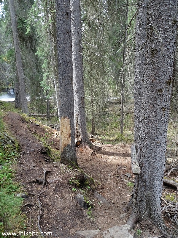
In addition, an official-looking note by the trail warns of hazard trees, which may be dangerous during windy conditions.
1a. We are Westbound on Highway 16, about 20 kilometers West of Vanderhoof, and are ready to turn left onto Bearhead Road, where a chip truck is turning in the photo below. Coordinates: N 54⁰01.541’ W 124⁰18.624’. Elevation: 712 meters. All mileage from this point on is from this intersection.
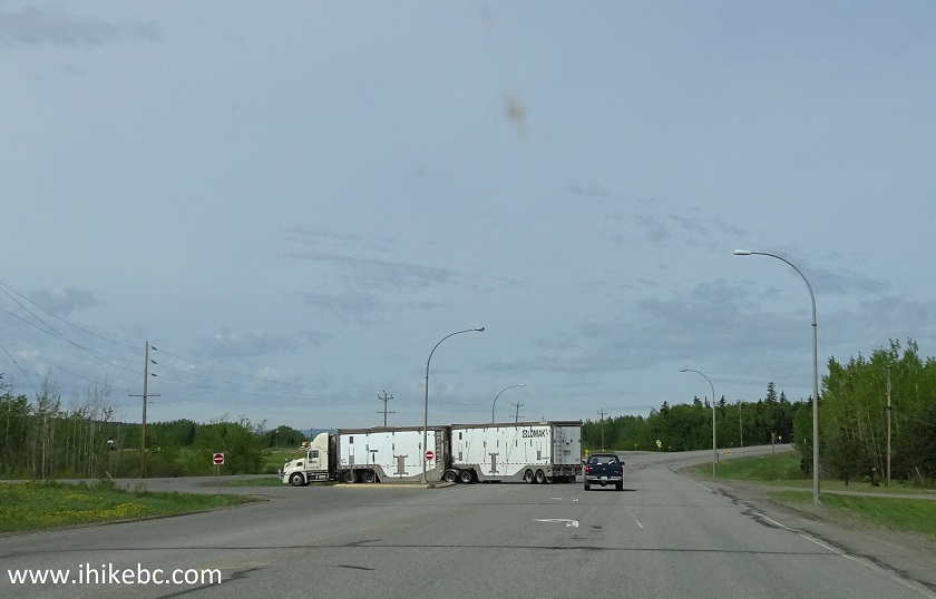
BC Highway 16 West at Bearhead Road near Vanderhoof BC Canada
1b. Here is the same intersection a few days later.
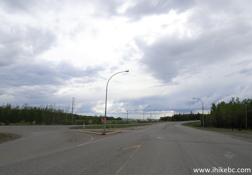
Hwy 16 Westbound at Bearhead Road near Vanderhoof British Columbia
2. Now driving on Bearhead Road. 500 meters after turning from Hwy 16, Canfor Mill access road (where a truck carrying lumber is seen in the photo below) would be on the right side.
Bearhead Road near Vanderhoof BC
3. Bearhead Road - stay left at this split at the 6.6 km mark.
Bearhead Road near Vanderhoof British Columbia
4. At 8.2 km, Bearhead Rd ends at Telegraph Rd. Turn left.
Bearhead Rd at Telegraph Rd
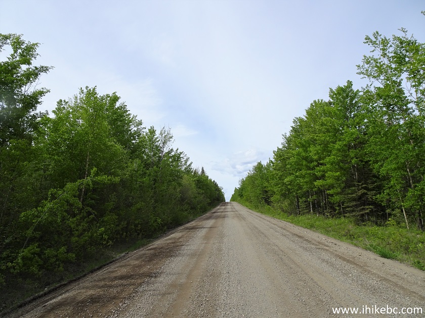
5. Now on Telegraph Road.
Telegraph Road near Vanderhoof BC
6. At 17.8 km, Telegraph Rd ends at Kenney Dam Rd - turn right.
Telegraph Rd at Kenney Dam Rd
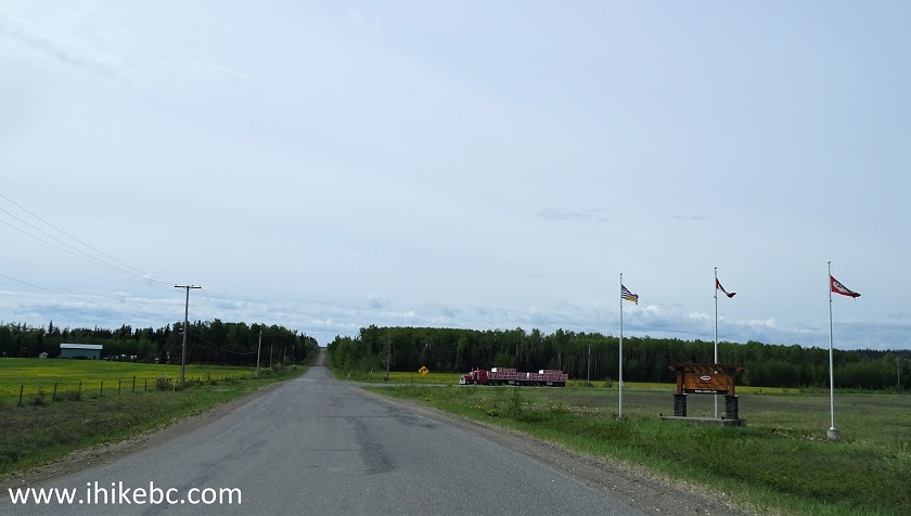
7. Kenney Dam Road.
Kenney Dam Road
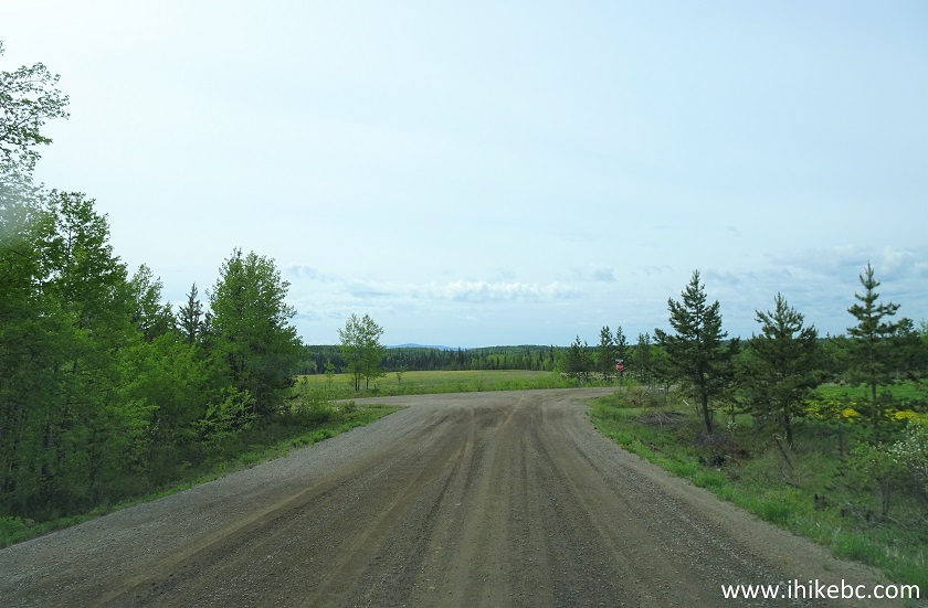
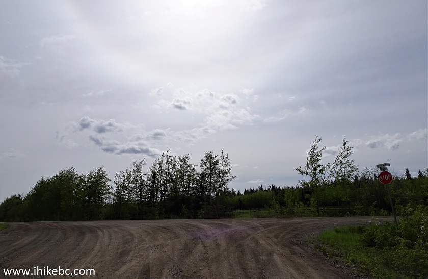
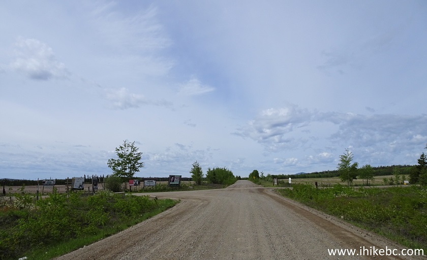
8. At 19.3 km, Kenney Dam Road meets Kluskus FSR. Turn left. Turning right would lead to Hwy 16 in 19 km, as per the sign at this intersection, but that would be further West from where we turned from Hwy 16 onto Bearhead Road.
Kenney Dam Road at Kluskus FSR
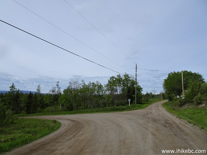
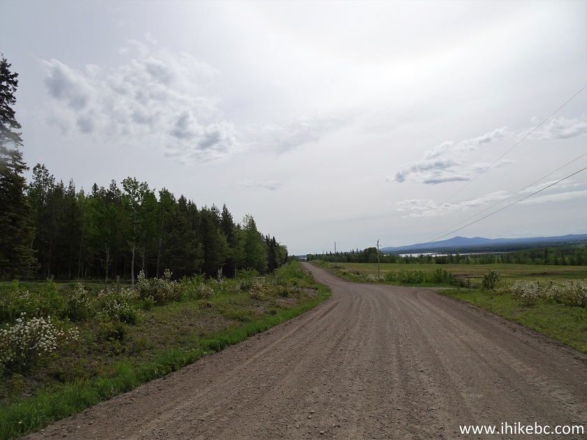
9. Kluskus Forest Service Road.

Kluskus FSR
1
0. Exactly 39 kilometers after turning from Highway 16 onto Bearhead Road, Greer Creek Falls trailhead parking arrives on the right side. This trailhead is between km 37 and km 38 of Kluskus FSR (mileage markers are placed every kilometer).
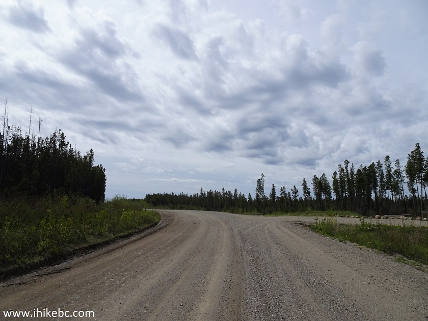
Kluskus Forest Service Road at Greer Creek Trailhead Parking Turnoff
11. Here it is. A pit toilet is located at the end of the trail. A closer (time-wise) toilet is 6 km further on Kluskus FSR at Home Lake trailhead.
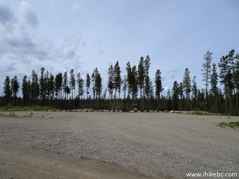
Greer Creek Trail Parking Lot
12. Greer Creek Falls trailhead. Coordinates: N 53⁰46.309’ W 124⁰21.329'. Elevation: 1,105 meters.
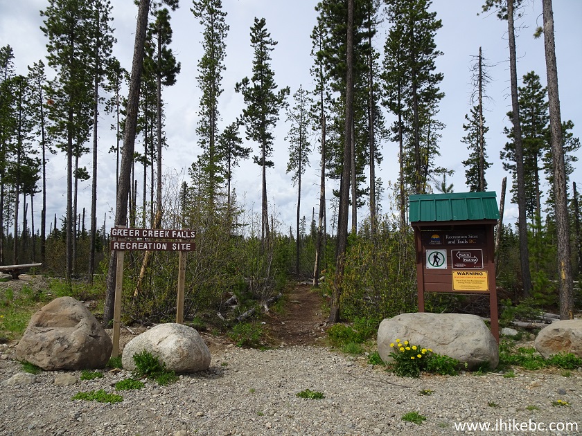
Greer Creek Falls Trailhead - hike in Vanderhoof BC Area
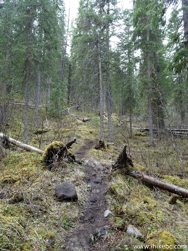
13. This is an easy trail, but mosquitoes are abundant.
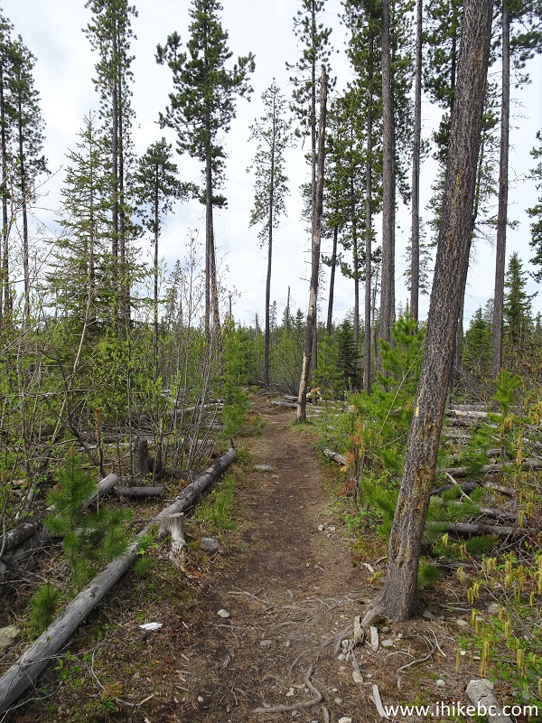
Vanderhoof Hike - Greer Creek Falls Trail
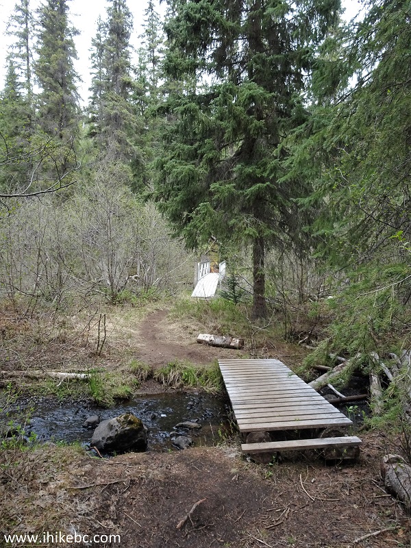
14. Several boardwalks are present on Greer Creek Falls Trail. This one is 40 meters long and is found at 220 meter mark of the trail (all trail distances are based on a GPS odometer and are approximate).
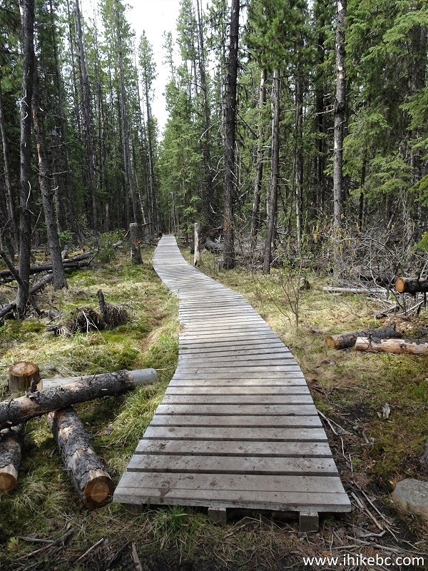
Trail in Vanderhoof Area - Greer Creek Falls Trail
15. And here is a makeshift boardwalk.
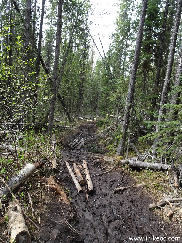
Greek Creek Falls Trail - Vanderhoof Trail
16. A small boardwalk at 1.0 km.
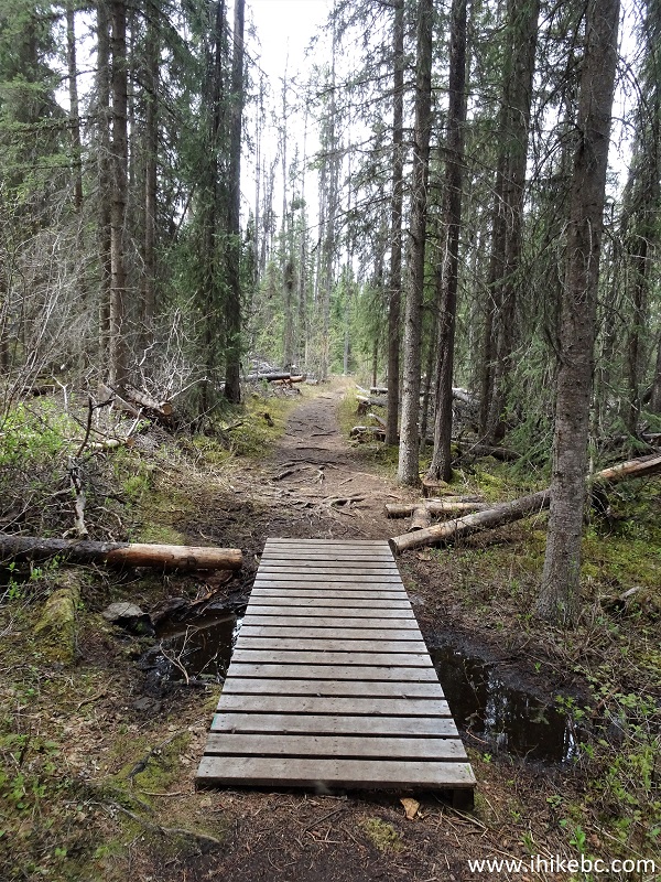
Vanderhoof Hiking - Greer Creek Falls Trail
17. At 1.4 km, the trail joins Greer Creek.
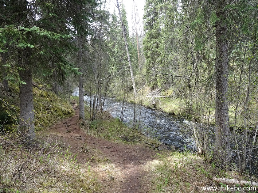
Greer Creek Falls Trail - Hiking in Vanderhoof Area
18. A few hundred meters later, there is a split, with the path on the left leading to the left viewpoint, and the path on the right to the recreation area and another viewpoint, as well as the upper viewpoint.
Greer Creek Falls Trail - hike in British Columbia
19. At first, we took a path to the left. The waterfall appeared within 30 meters.
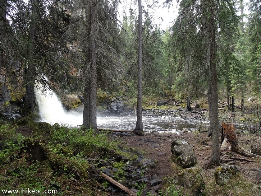
Greer Creek Falls Trail - BC Hiking
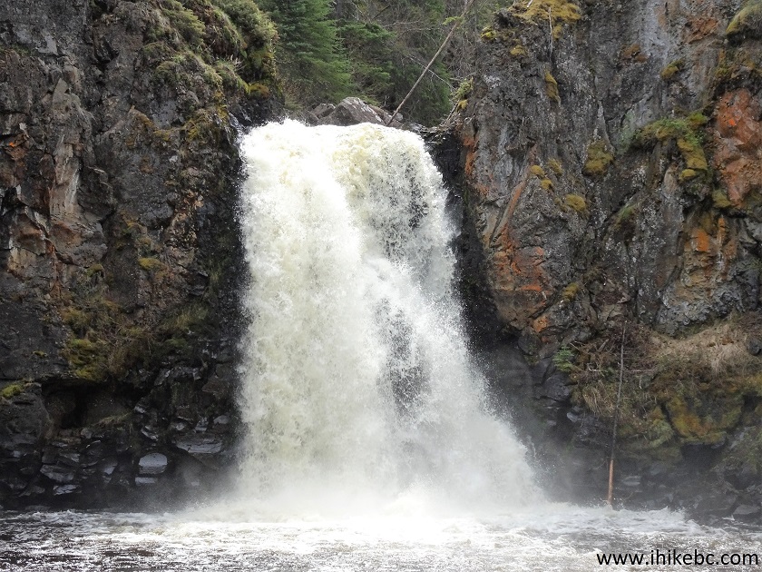
20. Greer Creek Falls. Coordinates: N 53⁰45.904’ W 124⁰22.457’. Elevation: 1,005 meters (100 meters elevation loss from the start of the trail).
Greer Creek Falls
Here is our video of Greer Creek Falls from this spot.
21. We went just a bit further, and here is a view from the side.
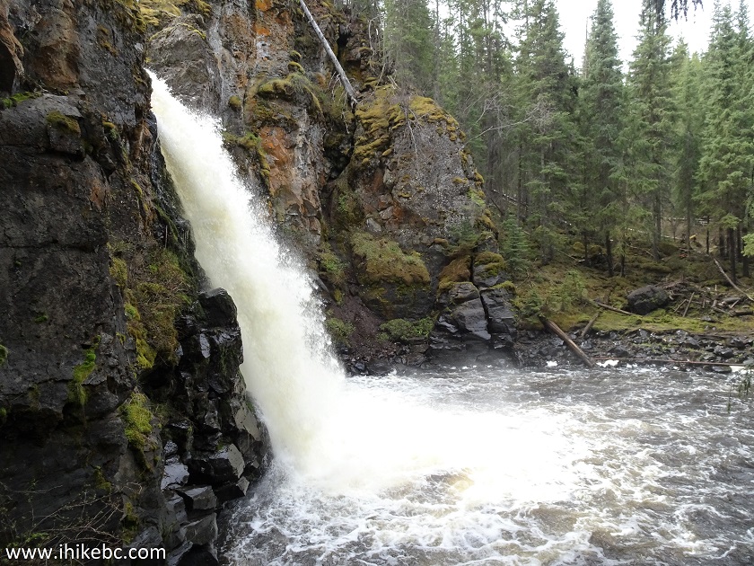
Greer Creek Falls near Vanderhoof BC Canada
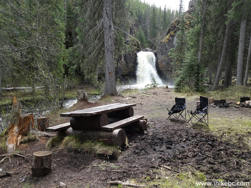
22. After that, we returned to the split seen in photo #18, and crossed Greer Creek.
British Columbia Hiking
23. Here is the recreation area with a picnic table, a fire ring, and a nearby pit toilet. Very scenic, if quite noisy.
Greer Creek Falls Recreation Area
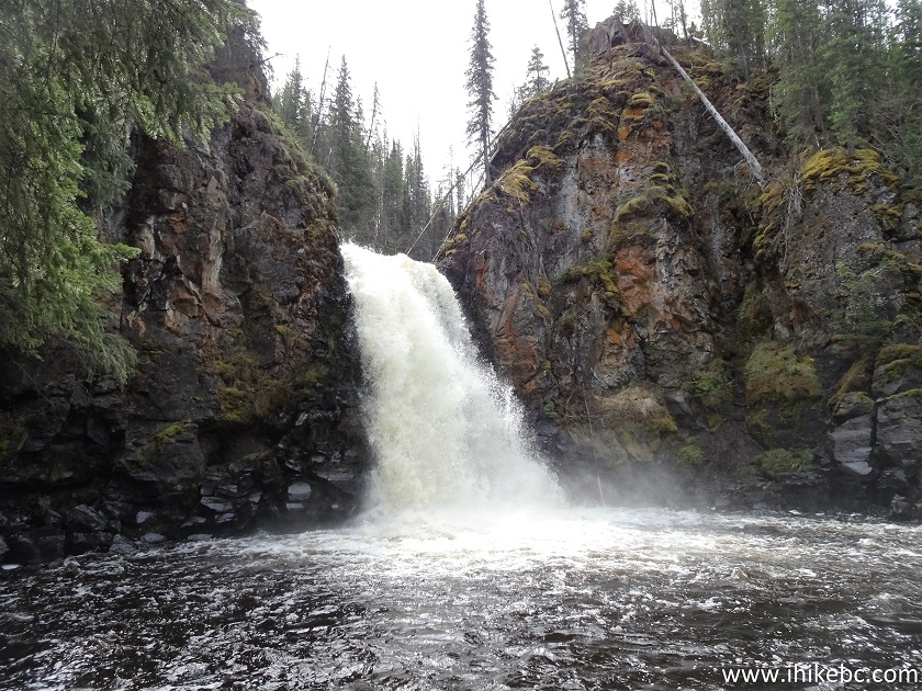
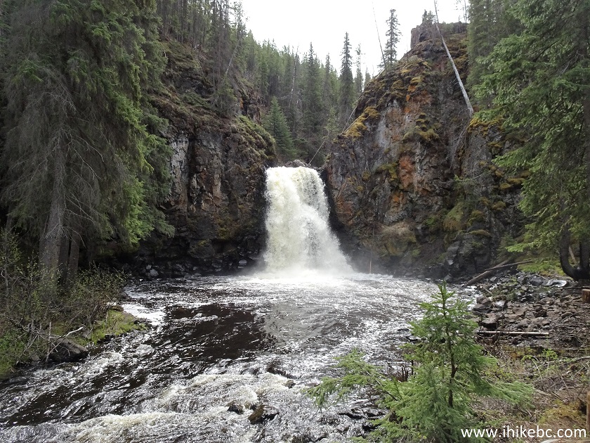
24. Greer Creek Falls from the right side.
Greer Creek Falls
25. Zoomed view.
Greer Creek Falls near Vanderhoof British Columbia
Here is our video of Greer Creek Falls from the right side.
More ihikebc videos are on our YouTube Channel.
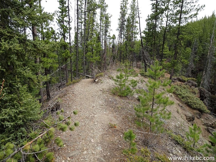
26. A short but fairly steep path leads to the upper viewpoint.
Hike in British Columbia - Greer Creek Falls Trail
27. Now on top. Beware of steep unbarricaded drop-offs.
Hike in Vanderhoof Area - Greer Creek Falls
28. Looking to the right, there is a neat view of Greer Creek.

Greer Creek
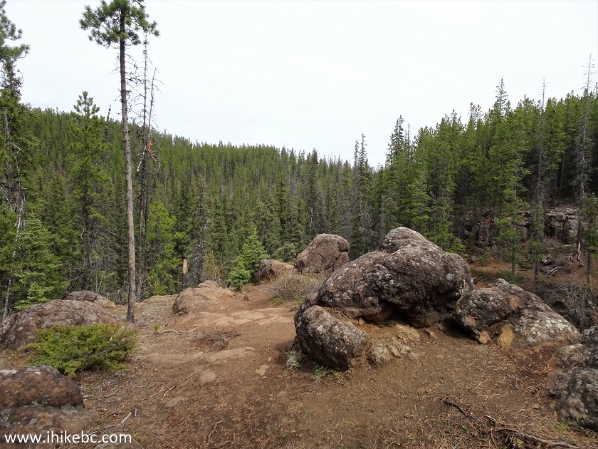
29. Just a bit further.
BC Hiking
30. Beyond the stones seen above is a view of Greer Creek Falls from the top. It's not a good view, and it's tempting to get closer for a better look. But it's very dangerous - the ground down there is soft, unstable, and steeply tilted towards the waterfall - if it starts sliding, things would get complicated in a hurry.
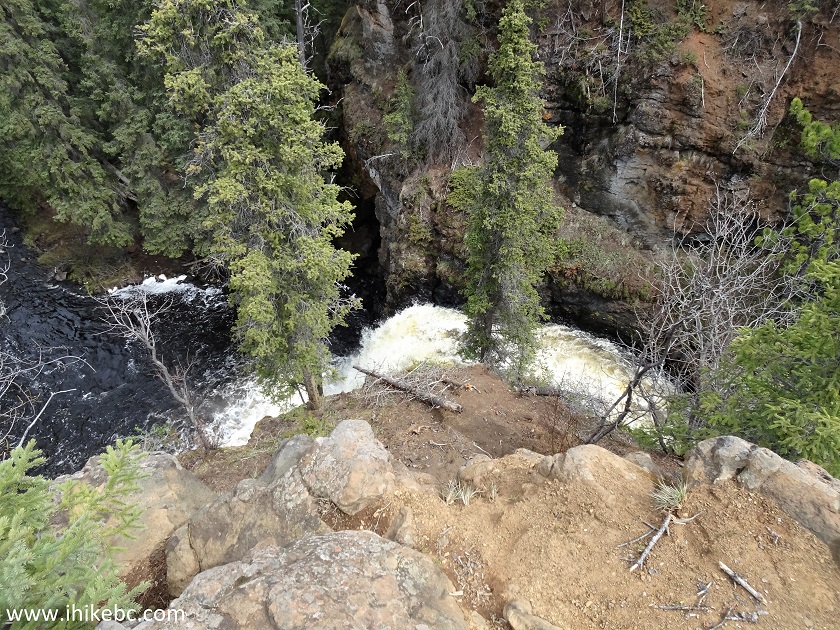
Greer Creek Falls Upper View
31. So, a zoomed view of the top of Greer Falls sufficed. As already mentioned, it's not that great. The upper viewpoint can be easily skipped altogether, especially if you don't have hiking poles and boots.
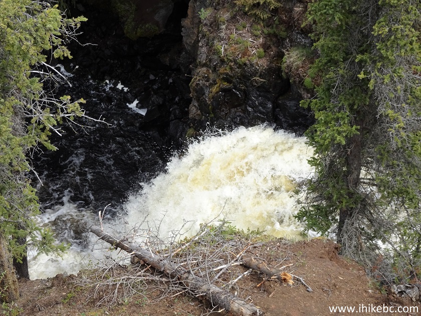
Greer Creek Falls
Despite the mosquitoes, Greer Creek Falls trail is a very good hike, leading to a fine waterfall. Highly recommended.


|
 |
![]()
![]()
![]()
ihikebc.com Trip 185 - Greer Creek Falls Trail Hike (near Vanderhoof BC)