![]()
![]()
![]()

Trip 135 - June 16, 2018 (Saturday)
The Dome Trail Hike
Near Williams Lake BC
Distance From Vancouver to the beginning of The Dome
trail/road: (via Highways 1 East,
97 North, 20 East and Stack Valley Road):
approximately 580 kilometers.
Liked: Panoramic views from "The Dome".
Of note: There is no trail per se - it's a forest service road which goes to the top of a small mountain. A high-clearance vehicle required for the last several kilometers. Access road subject to closure during the military training exercises. The trail is not marked and can be difficult to find. There are a lot of mosquitoes in that area.
Cariboo Chilcotin Coast BC Backroad Mapbook (2015 edition) Coordinates for The Dome: Page 28 (Riske Creek) D6.
With the paper edition of Backroad Mapbook promising "impressive views of the surrounding plateau", we went for this trail despite the same publication warning of possible access issues due to the military training activities. We did run into military checkpoints, but were let through, as our route and destination were in the opposite direction of the restricted area where live firing was taking place. The GPS version of Backroad Mapbook, just like the paper counterpart, only indicated the trailhead for The Dome, which is at the beginning of a rather long forest service road. It was then up to us to figure out exactly which way to go. While the general direction was obvious (head straight and then turn right at some point), we spent over an hour looking all over the place for the correct turn, due to numerous right turns without any marks of any kind indicating the way to The Dome. Finally, we found what we were looking for, and here is our trip report.
1. We are in Williams Lake, northbound on Highway 97, getting ready to turn left onto Highway 20.
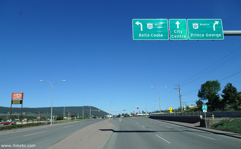
BC Highway 97 North in Williams Lake British Columbia Canada
2. Now westbound on Highway 20. For more information on this highway, check out our Highway 20 trip report.
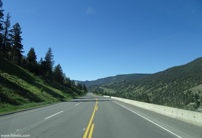
BC Highway 20 West near Williams Lake BC Canada
3. Approximately 47.5 kilometers from the Highway 97 / Highway 20 junction in Williams Lake, turn right onto Stack Valley Road.
Coordinates: N 51⁰58.104' W 122⁰31.926'.
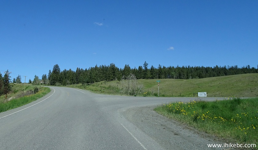
BC Highway 20 West at Stack Valley Road turnoff British Columbia Canada
4. Stack Valley Road immediately after the turn. Zero your odometer at this point.
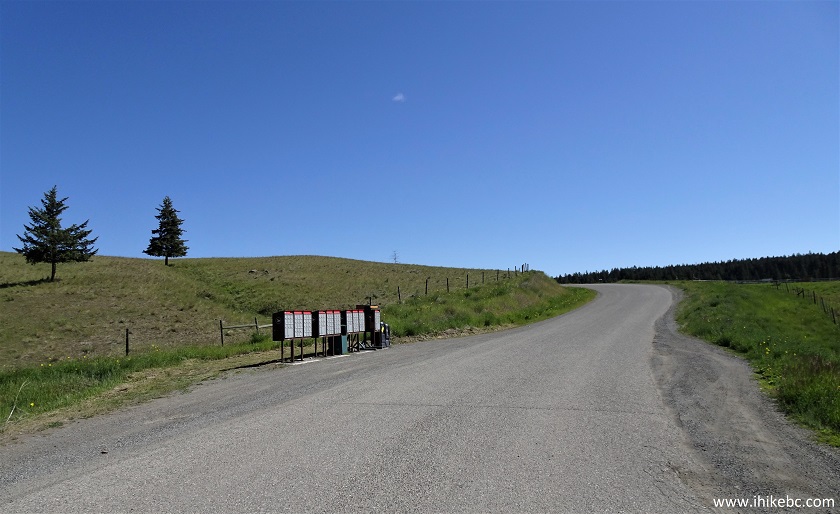
Stack Valley Road near Williams Lake BC Canada
5. Stack Valley Road turns into gravel 1.5 km later, but it's a fairly smooth ride.
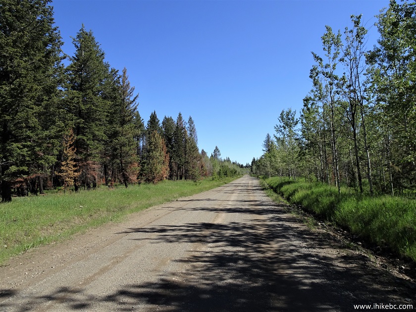
Stack Valley Road off BC Highway 20 near Williams Lake BC Canada
6. As you are driving through the Canadian military training area, don't be surprised to see a checkpoint. We explained where we were going, and were let through, as the live firing exercise was being held in the opposite direction of our planned hike.
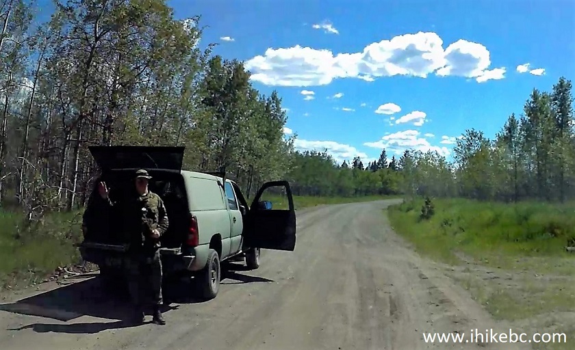
Canadian Military Checkpoint on Stack Valley Road near Williams Lake BC
7. Take the road on the right at the 10.8 km split.
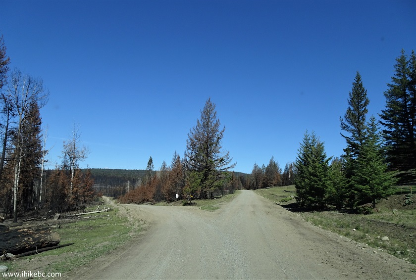
Stack Valley Road near Williams Lake BC Canada
8. Approximately 14.2 km after turning onto Stack Valley Road from Highway 20, a road on the left is where our Backroad Mapbook GPS software marked as the The Dome trailhead. Unlike on all the previous occasions, there was no actual trail marked in the GPS - just the trailhead. Coordinates: N 52⁰04.539' W 122⁰34.341'. Elevation: 1,043 meters. Zero your odometer again after making this turn. By the way, you can make it in a low-clearance 2WD vehicle up to this point, but may wish to hike the rest of the way, unless you have a high-clearance vehicle (2WD should be sufficient, if the road is dry).
Stack Valley Road at Dome Road Turnoff near Williams Lake British
Columbia
9. On the way back, we found one and only indication that this was the correct turn - "Dome Road" was marked on a piece of wood at the beginning of the road on the very left side. There was also some flagging tape there, but flagging tape on back roads may mean lots of different things.
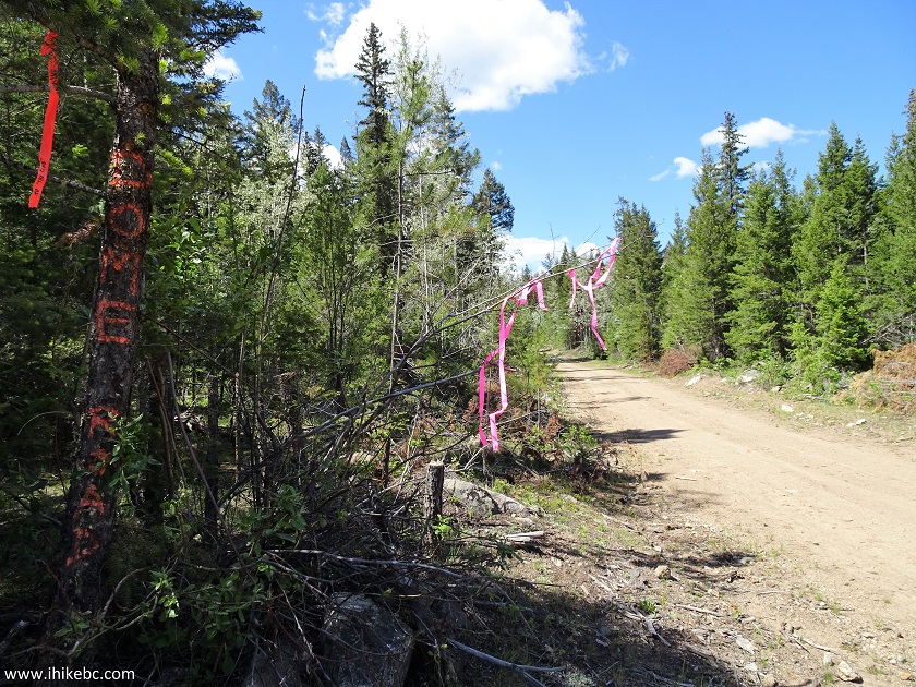
The Dome Road off Stack Valley Road near Williams Lake BC Canada
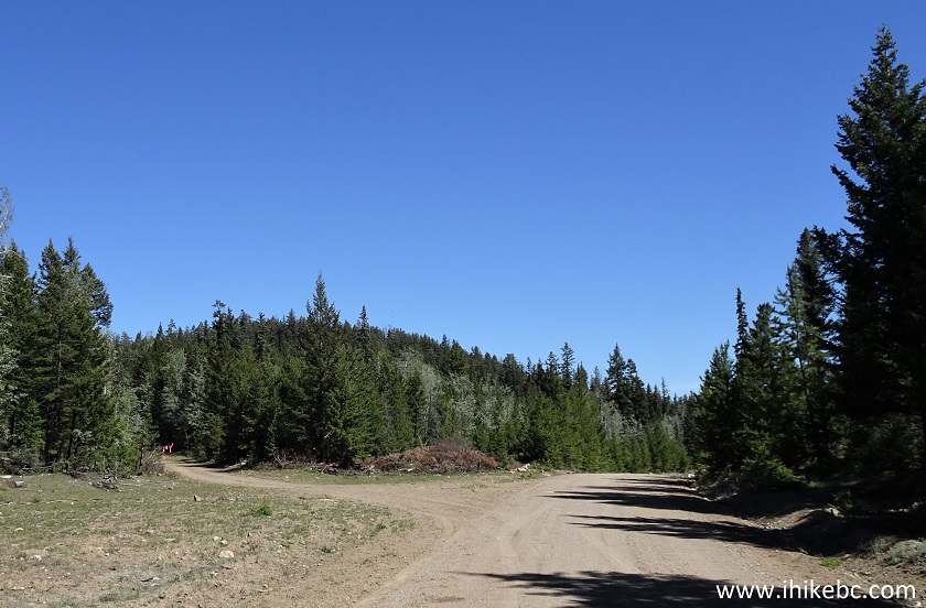
10. Here is a really tricky part of the trip - 3.5 km after turning onto Dome Road, there is this inconspicuous right turn, followed by a very prominent right turn a mere 100 meters later. Guess which right turn we thought was the correct one? Nonetheless, it's this grass-covered turn you need to take to get to The Dome.
.JPG)
The Dome Road near Williams Lake British Columbia
11. The view of the road you need to take.
The Dome Road / Trail near Williams Lake BC Canada
12. And this is the wrong right turn 100 meters later.

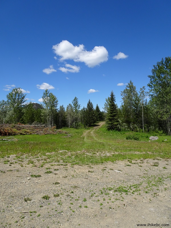
13. Once you take the grass-covered right turn, finding the rest of the trail is easy. Turn left at the T-junction 800 meters later.

14. The view of the road after turning left. After that, there are no more splits, and you can drive as far as your vehicle will take you based on the road conditions (the last 650 meters are quite steep, with loose surface, and can only be tackled by capable 4x4s).

15. Speaking of The Dome, the best view of it that we got was from one of the wrong right turns.
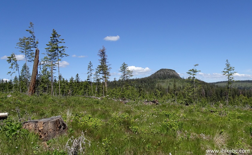
View of The Dome near Williams Lake British Columbia Canada
16. Meanwhile, having turned left at the T-junction, we are less than 3 km away from the top of The Dome.
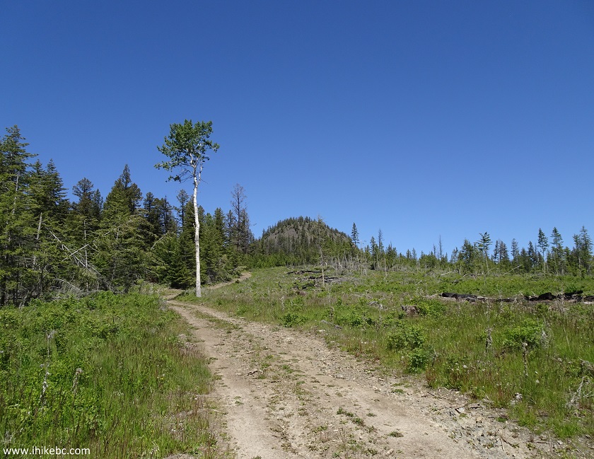
The Road to The Dome near Williams Lake in the Province of British
Columbia Canada
17. We were able to drive in our high-clearance 2WD vehicle for 1.5 kilometers after the T-junction, before the road became too steep and loose.
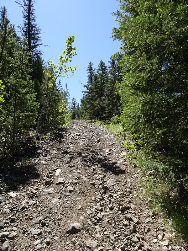
Road to The Dome near Williams Lake BC
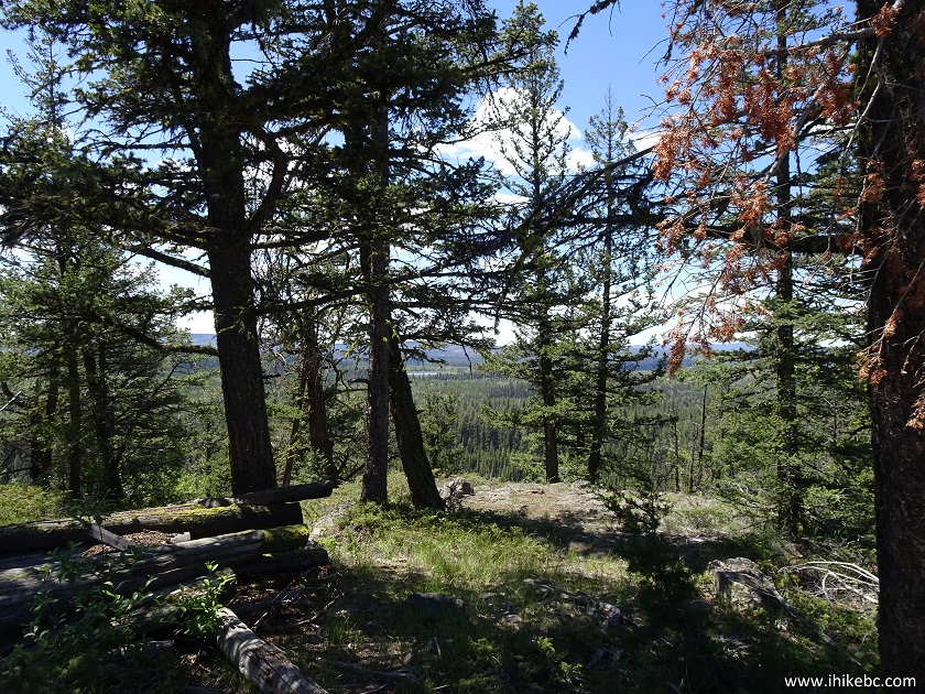
18. So, we parked, and hiked for 15 minutes to the top. Almost there.
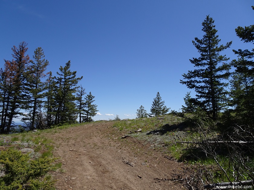
Williams Lake Hiking - The Dome Trail
19. And now we are on top of The Dome, at the elevation of 1,374 meters, with the remnants of what was likely a fire lookout tower prominently displayed.
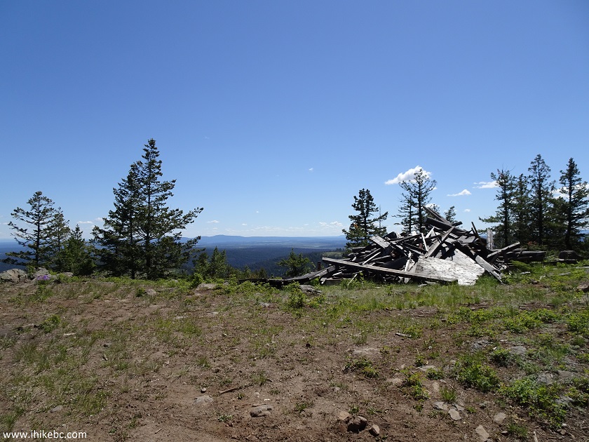
Top of The Dome near Williams Lake BC Canada
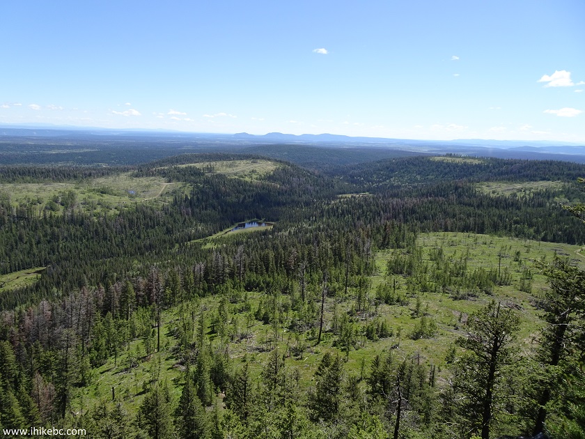
20. And here are the promised panoramic plateau views.
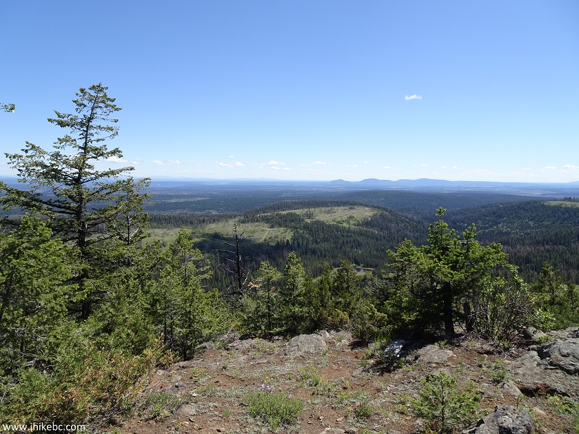
View from The Dome - Hike in Williams Lake BC Canada Area
21. Nothing too overwhelming, but not too shabby either.
Plateau View from The Dome near Williams Lake BC Canada
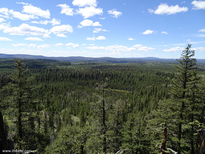
22. Going towards the other side.
British Columbia Hiking
23. Slightly less impressive, though still good.
View from The Dome near Williams Lake in the Province of British
Columbia Canada
24. And here is a panorama.
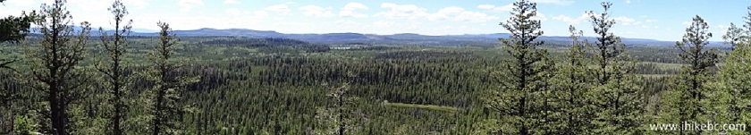
Hike in BC - Panoramic View from The Dome near Williams Lake
Thus, The Dome Trail turned into The Dome drive, with the biggest adventure being finding the right road. If you are in the area and want to see fine plateau views (sunsets figure to be quite neat), The Dome is where it's at.


|
 |
Other Trips in Williams Lake Area:
|
Farwell Canyon Visit
|
|
Other Trips:


![]()


![]()
![]()
![]()
ihikebc.com Trip 135 - The Dome Trail Hike (Near Williams Lake BC)