![]()
![]()
![]()

Trip 266 - September 5, 2022 (Monday)
Old Alaska Highway Trail Hike
Muncho Lake BC
Page 2 of 2
Liked: Muncho Lake and mountain views, a fairly pleasant and easy trail (aside from the side path to (almost) all the great views).
Of Note: Some bugs, the side path to all the main views is very steep (hiking poles and boots are essential for that path, and are recommended otherwise), steep unbarricaded drop-offs closer to the end of the side trail, encroaching vegetation in some parts of the trail – long pants and a long-sleeve shirt are recommended.
Northern BC Backroad Mapbook (3rd edition) Approximate Trailhead Coordinates: Page 79 (Muncho Lake) E3.
Old Alaska Highway Trail is located in Northeastern British Columbia, in an unincorporated community of Muncho Lake, about 252 km North of Fort Nelson, the closest town with more-or-less limited services, including a hospital. As the name suggests, the trail used to be Alaska Highway when originally built, but, as years went by, some parts of the highway were slightly moved, including the stretch by Muncho Lake, so this trail came into existence. There are two trailheads for Old Alaska Highway Trail - the south one (by Strawberry Flats Campground), and the north one, about 1.4 km further on Highway 97.
Today, we started at the south trailhead, finished at the north trailhead, and then hiked 1.4 km on the highway to return to the parking lot. This trail can be as easy or as difficult as you want it to be. If all you are interested in is an easy pleasant hike with a decent view of Muncho Lake, then ignore a very challenging side trail which rapidly gains elevation but provides great panoramic views of Muncho Lake and the surrounding mountains. If, however, you are properly equipped and do not mind the climb and the subsequent descent, this trail is as good as it gets in the views department, and will certainly not disappoint.
It is better to hike here early in the morning or on a cloudy day, as, otherwise, the sun would be shining in your eyes, somewhat affecting the views of Muncho Lake, like it did today. But, even then, Old Alaska Highway is one impressive hike.
*All trail distances are based on a GPS odometer and are approximate.
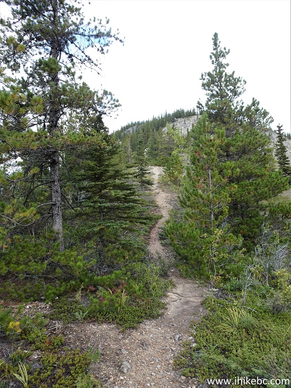
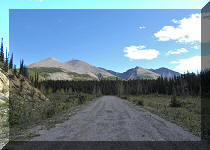
24. Now at 330 meters from the split.
Old Alaska Highway Trail
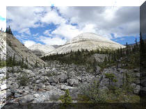
25. Still steep - at 405 meters here.
Old Alaska Highway Trail Muncho Lake BC Canada
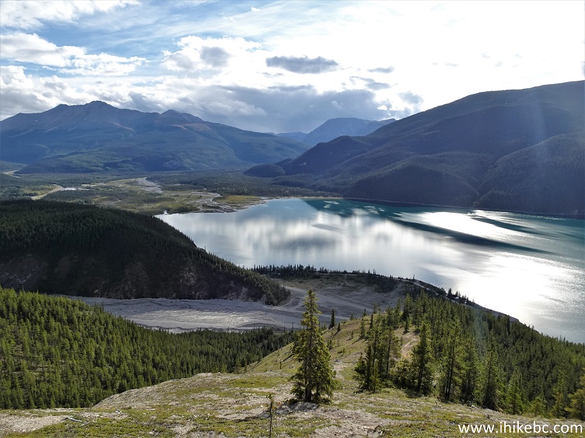
26. At 440 meters, looking left there is another very fine view of Muncho Lake.
Muncho Lake View from Old Alaska Highway Trail
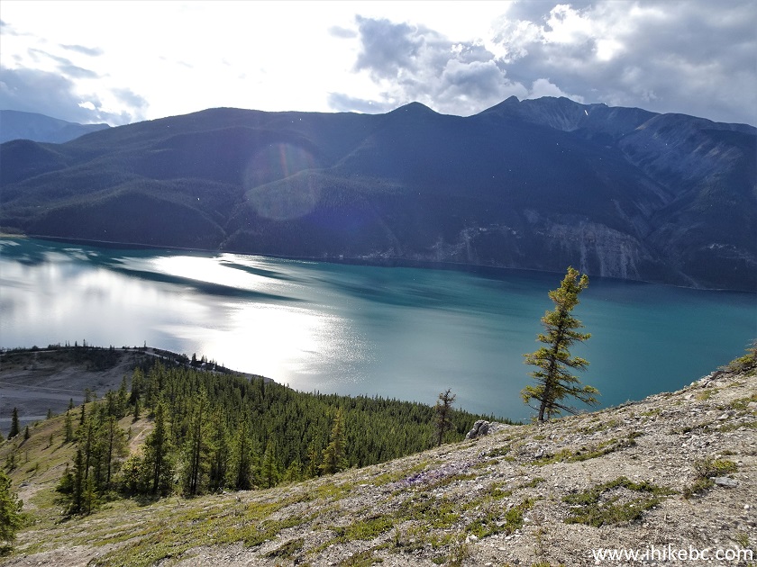
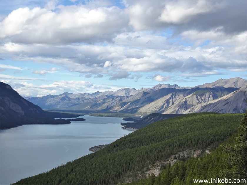
27. With some zoom.
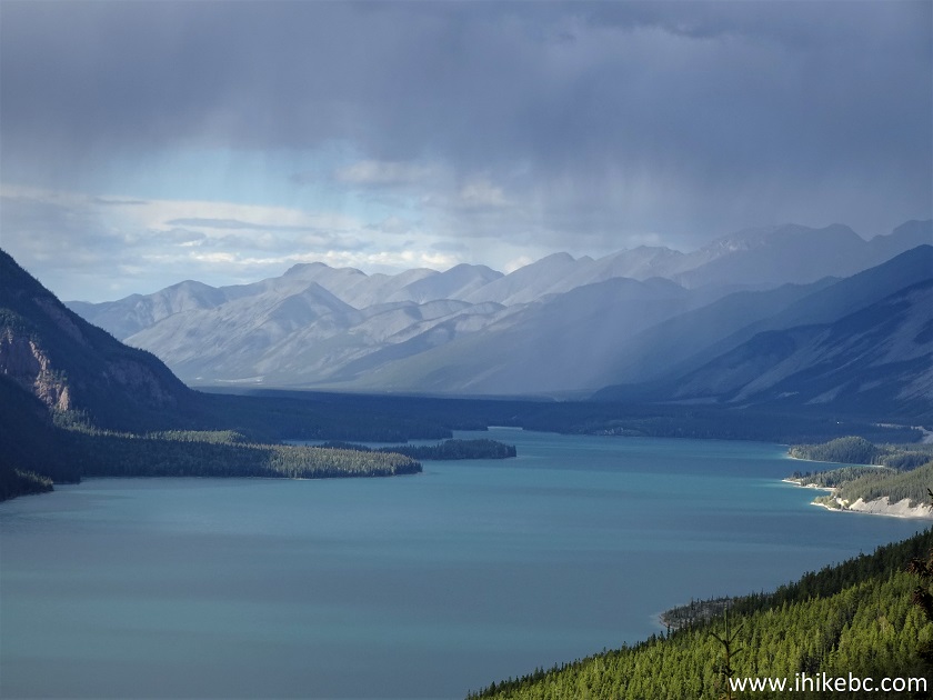
Muncho Lake British Columbia Canada
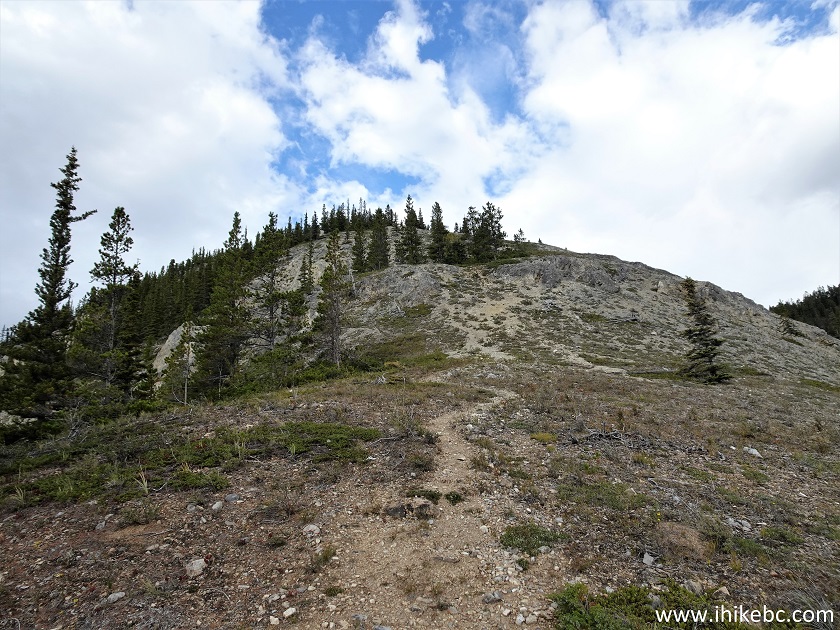
28. At 515 meters of the side trail.
Old Alaska Highway Hike in Muncho Lake BC Canada
29-30. Looking back at 550 meters.
Muncho Lake
Muncho Lake BC
Here is our video of the views from approximately this location.
More ihikebc videos are on our YouTube Channel.
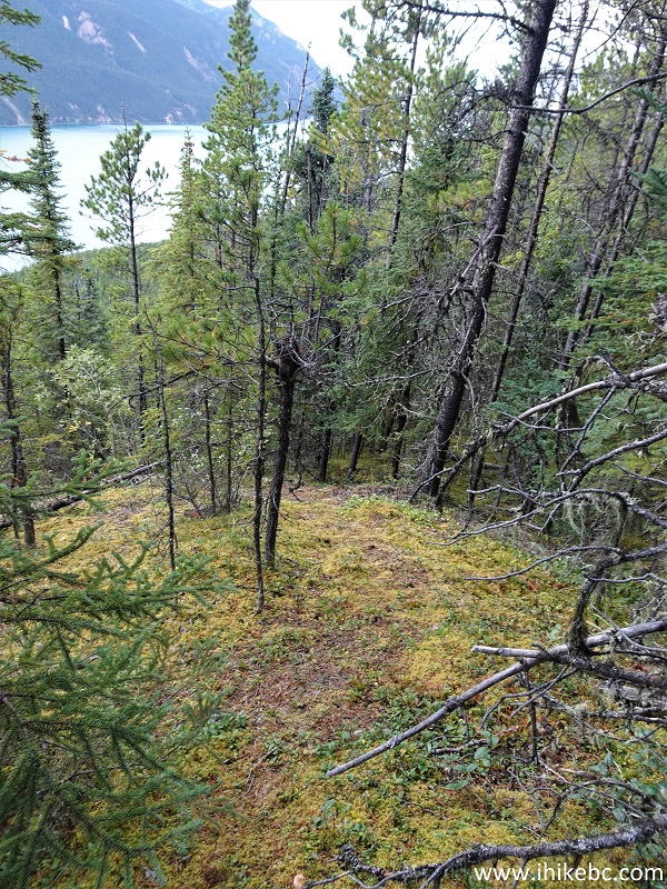
31. Going through a small forest again at 600 meters from the split.
British Columbia - Old Alaska Highway Trail - Muncho
Lake BC
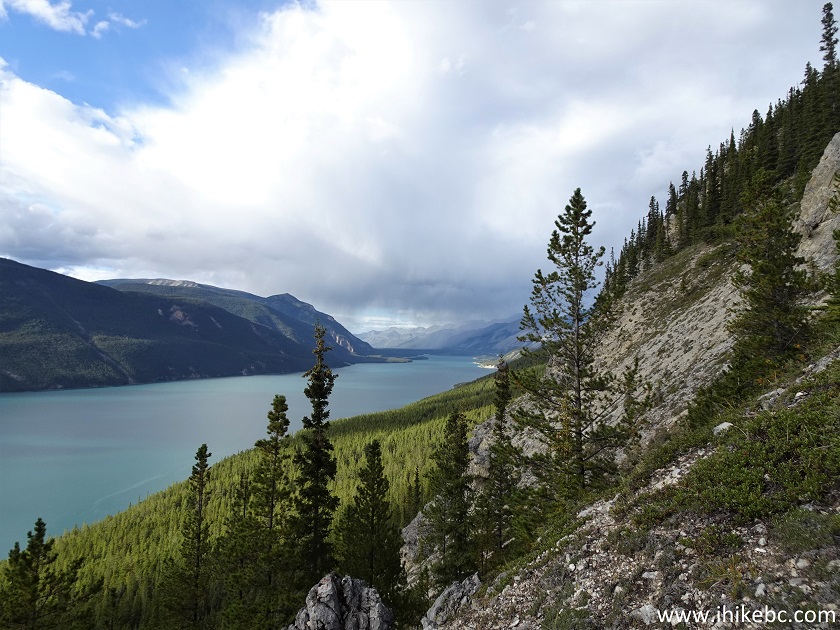
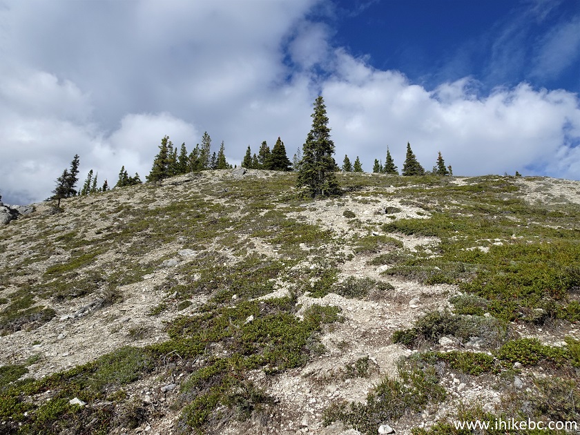
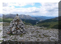
32-33. Another fine view to the left at 730 meters. Plain and zoomed. This is the last of good views from the tough side trail. Coordinates: N 58°57.314’ W 125°45.639’. Elevation: 1,105 meters (205 meters elevation gain from the split, for an average grade of 28%). The path starts descending shortly.
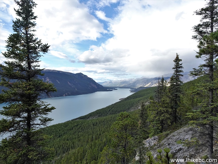
Muncho Lake View from Old Alaska Highway Trail
Muncho Lake
34. The descending path at 925 meters from the split. We went back here.
Old Alaska Highway Trail Northern British Columbia
35. We then returned to the split seen in photo #18 and turned right to proceed towards Old Alaska Highway Trail north trailhead.
Old Alaska Highway Trail Split
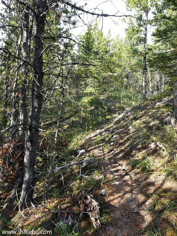
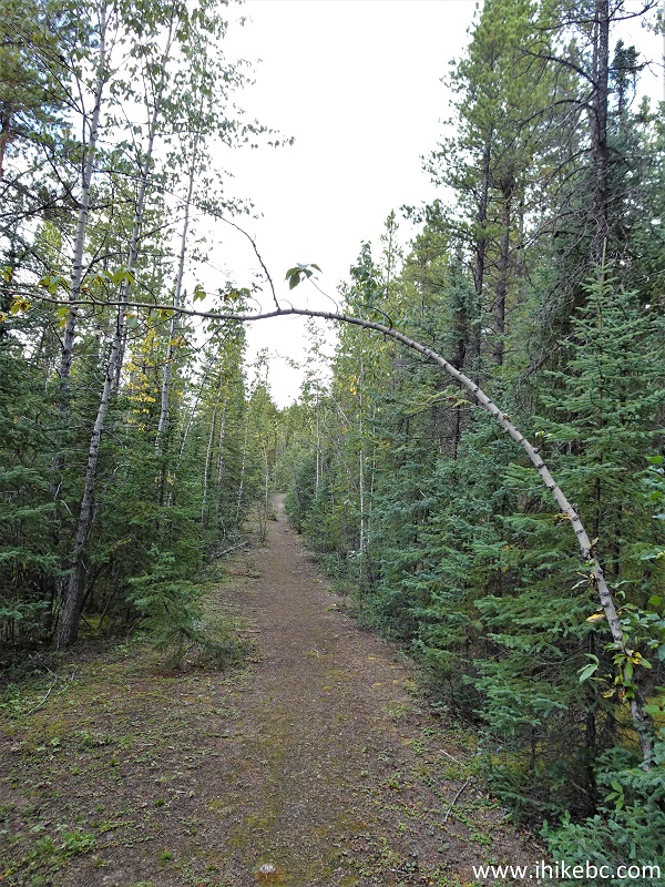
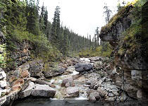
36. There isn't much to see for the next 1.4 km - just the trees on both sides. The trail is quite easy, though. At 410 meters from the split here.
Old Alaska Highway Trail in Muncho Lake BC Canada
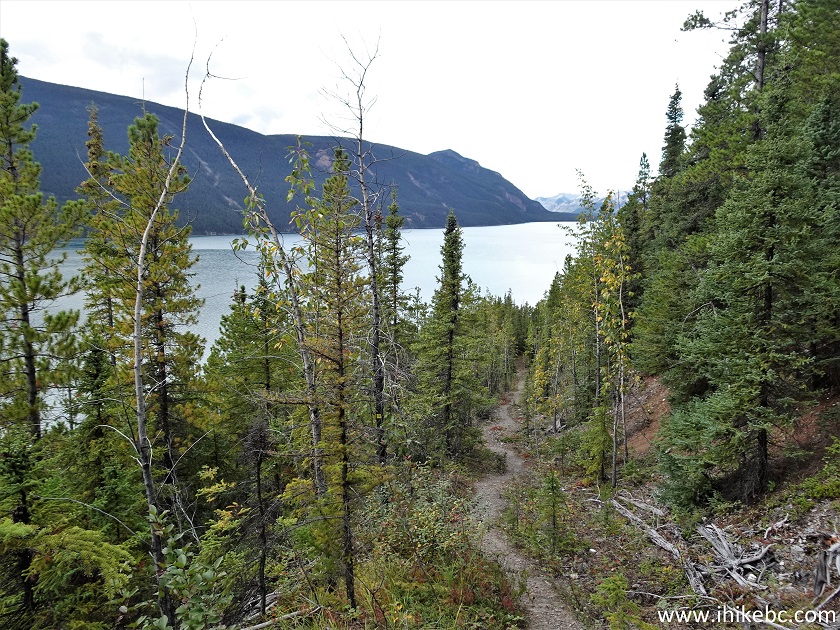
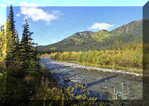
37. Muncho Lake reappears at about 1.0 km from the split.
Hike in Muncho Lake - Old Alaska Highway Trail
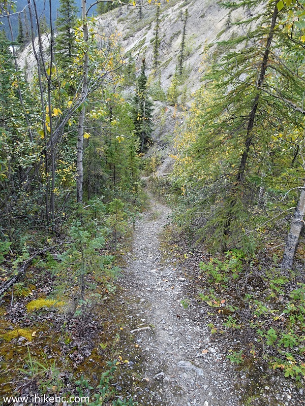
38. The last 100 meters or so of the trail are rather steep.
Old Alaska Highway Trail Hike in Northern British
Columbia Canada
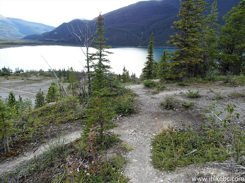
39. And here is the north trailhead of Old Alaska Highway. Coordinates: N 58°57.723’ W 125°46.176’. Elevation: 850 meters. It's 1.4 km from the split, or just under 2.3 km from the south trailhead. The parking lot is much smaller than the south one.
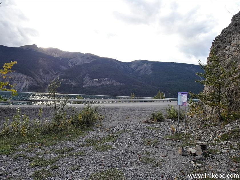
Old Alaska Highway North Parking Lot
40. We then hiked on Alaska Highway for 1.4 km to get back to the south trailhead parking lot.
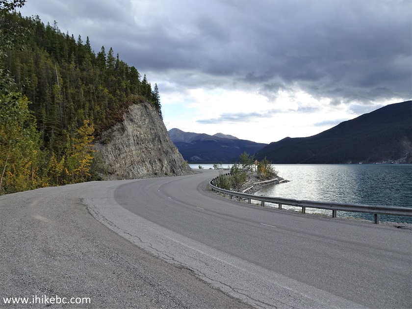
BC Highway 97 (Alaska Highway) in Muncho Lake BC
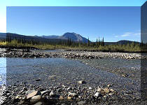
41. Muncho Lake.
Muncho Lake
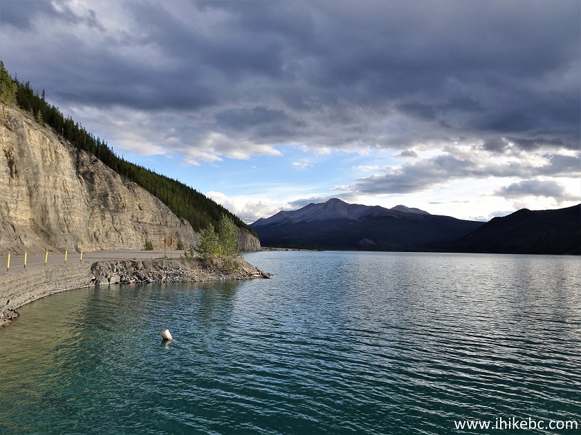
42. And we are back at the south trailhead.
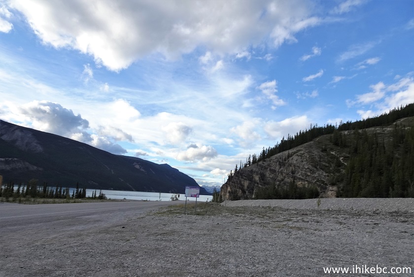
Old Alaska Highway Trail South Parking Lot
If you are ready to tackle the steep terrain, Old Alaska Highway Trail has excellent views of Muncho Lake and the surrounding mountains. But, even if you do not take the side trail for all the fine views, this is a very pleasant hike regardless. Highly recommended.


|
 |
Other Trips in Fort Nelson Area:
|
|
|
|
|
|
|
|
|
|
|
|
|
|
|
|


![]()
![]()
![]()
ihikebc.com Trip 266 - Old Alaska Highway Trail (Muncho Lake BC) Page 2 of 2