![]()
![]()
![]()

Trip 269 - September 9, 2022 (Friday)
Ore Mountain Hike
Near Stewart BC
Page 1 of 2
Of Note: A semi-dangerous trail to the pond, then a very steep and dangerous climb to the sub-alpine, then a fairly easy sub-alpine area. A small creek crossing on slippery logs is required. Hiking poles and boots are essential. A part of the trail is overgrown with stinging/scratching plants - long pants and a long-sleeve shirt are essential.
Northern BC Backroad Mapbook (3rd edition) Coordinates: Page 61 (Stewart) A5.
Another Trip in Stewart BC Area: Sluice Box Trail Hike.
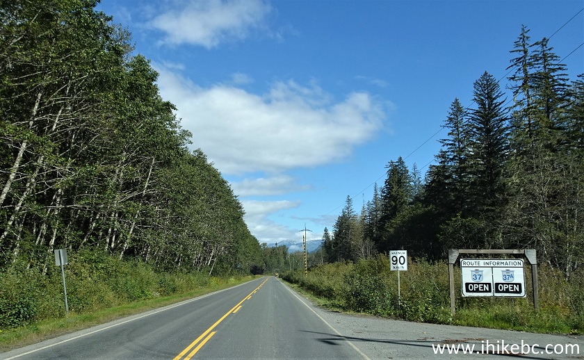
The town of Stewart is a small settlement in the West of British Columbia, very far from any major town. A long and mostly featureless Highway 37 goes North-South from near the Yukon border to Highway 16 by Kitwanga, located between Terrace to the West and Smithers to the East. Mezadin Junction, found 150 km North of Kitwanga, is where a very picturesque Highway 37A starts off Highway 37, goes past several glaciers (including Bear Glacier) and reaches Stewart in about 60 kilometers.
Ore Mountain Trail is about 13.5 kilometers East of Stewart. It starts near Clements Lake Recreation Site, reaches a fine pond 4.25 km later, and then a very steep (albeit short) climb leads to an impressive sub-alpine area with quite extensive hiking opportunities.
*All trail distances are based on a GPS odometer and are approximate.
1. Here are Google Maps directions from Stewart BC to Clements Lake Recreation Site.
2. First, let's check out the entrance to the town of Stewart. We are Westbound on Highway 37A, and Stewart is right in front of us.
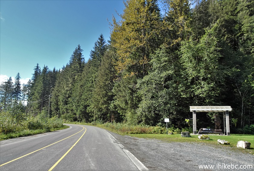
Entrance to Stewart BC
3-5. Welcome to Stewart.
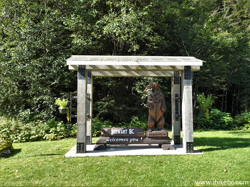
Welcome to Stewart British Columbia installation
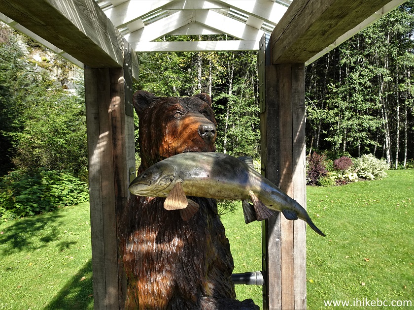
Bear and Fish Carving Stewart BC Canada
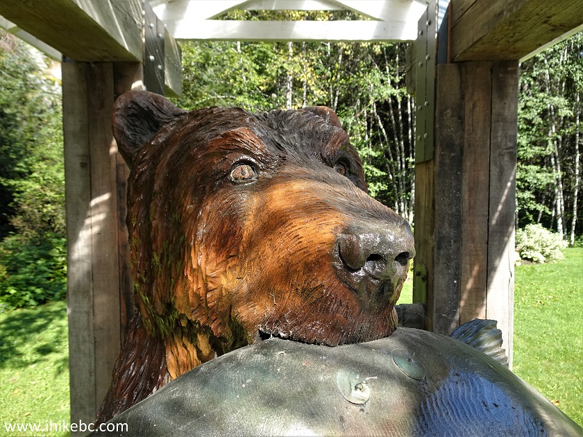
Bear and Fish Statue Stewart British Columbia
6. Now we are heading in the opposite direction.
BC Highway 37A near Stewart BC Canada
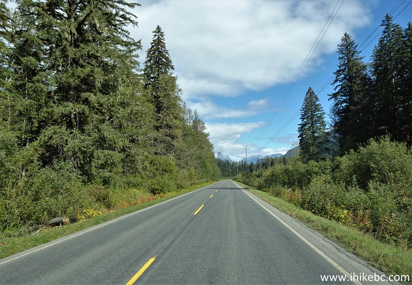
7. Eastbound on Highway 37A 3.2 km East of Stewart.
BC Highway 37A
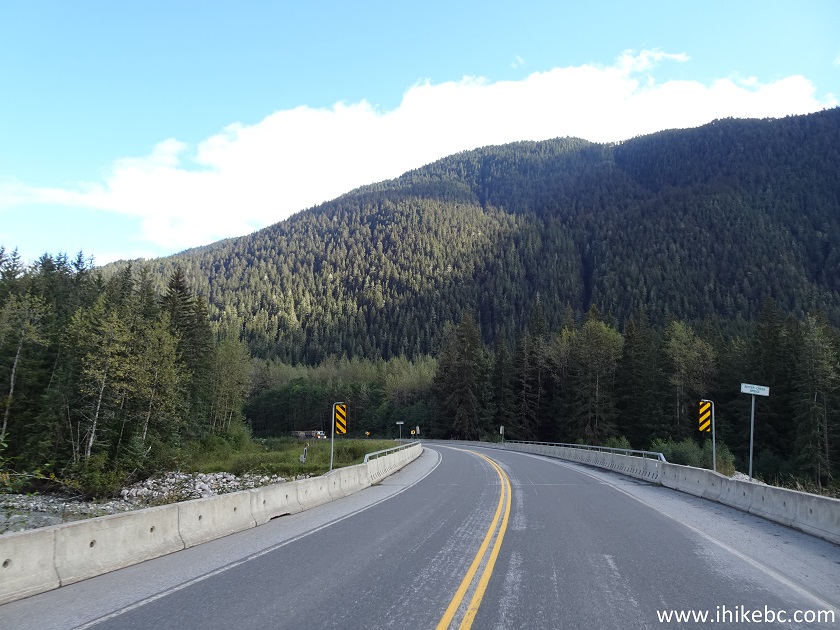
8. There is this bridge 11.3 km East of Stewart.
Highway 37A British Columbia
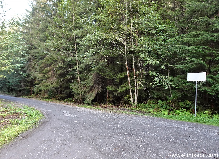
9. Just after the bridge, at the 11.6 km mark, make a right turn. The sign indicates this is the way to Clements Lake Recreation Site and Ore Mountain Trail.
BC Highway 37A at Clements Lake Recreation Site Access Road Turnoff
10. A view immediately after the turn.
Ore Mountain Trail Access Road near Stewart British Columbia Canada
11. Make a left turn at a T-Junction about 100 meters after turning from Highway 37A.
Clements Lake Recreation Site Access Road near Stewart BC Canada
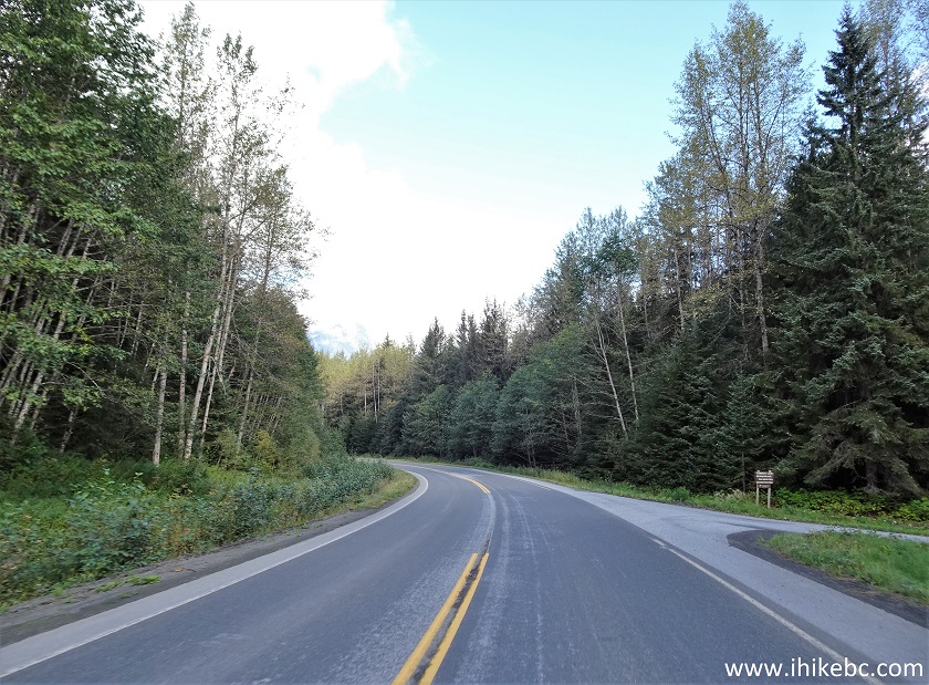
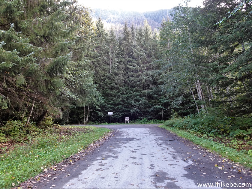
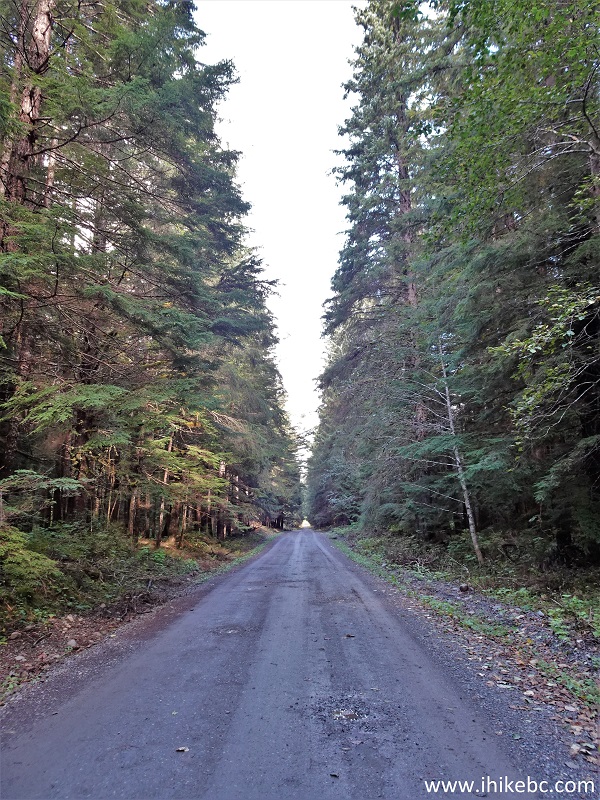
12. The access road to Clements Lake Recreation Site is just over one km long, and is in a very good shape, with some small potholes.
Access Road to Clements Lake Recreation Side near Stewart BC
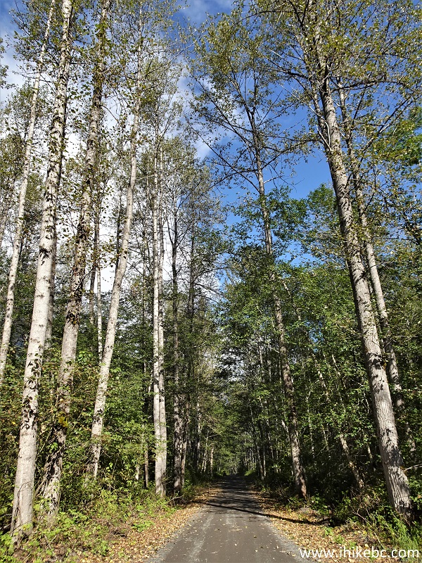
13. How about these birch trees.
Birch Trees near Stewart British Columbia
14. Arriving to Clements Lake Recreation Site, 13.8 km from the town of Stewart. The parking lot is big enough for a class C RV to turn around.
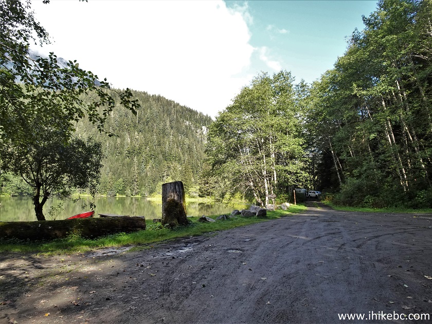
Clements Lake Recreation Site near Stewart BC
15. A fine small lake.
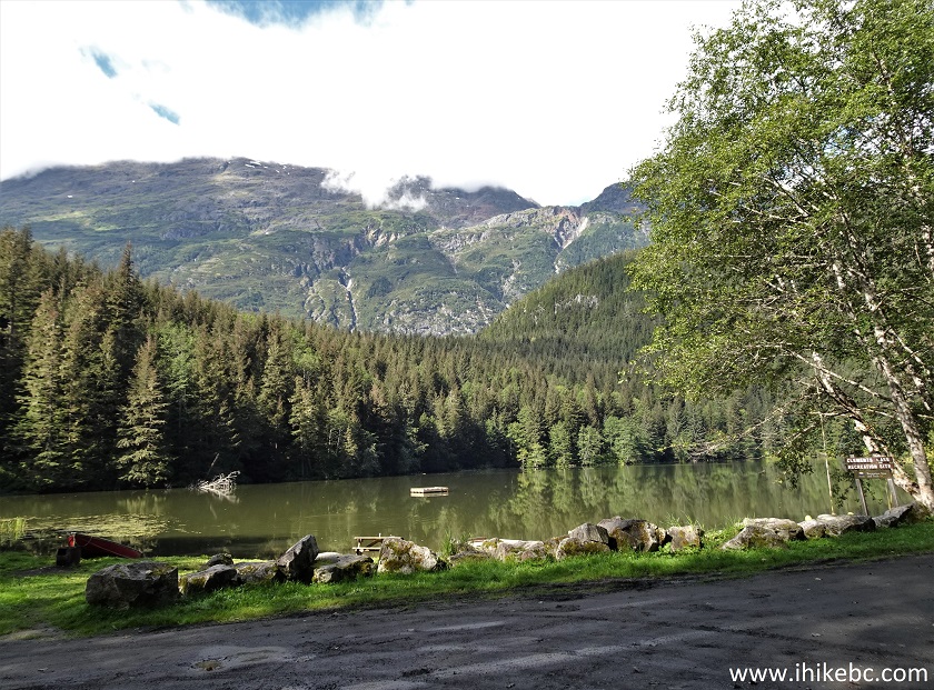
Clements Lake BC
16. A picnic area on the left side.
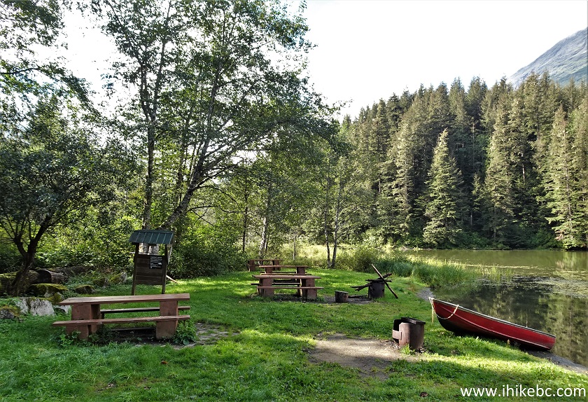
Clements Lake Recreation Site Picnic Area
17. To reach Ore Mountain trailhead, continue past the lake for just over 600 meters. The road is quite muddy, though, and a small creek crossing is required. If you have a capable 4x4, driving might be an option. Otherwise, park at the recreation site. Here is the road to the trailhead at 90 meters.
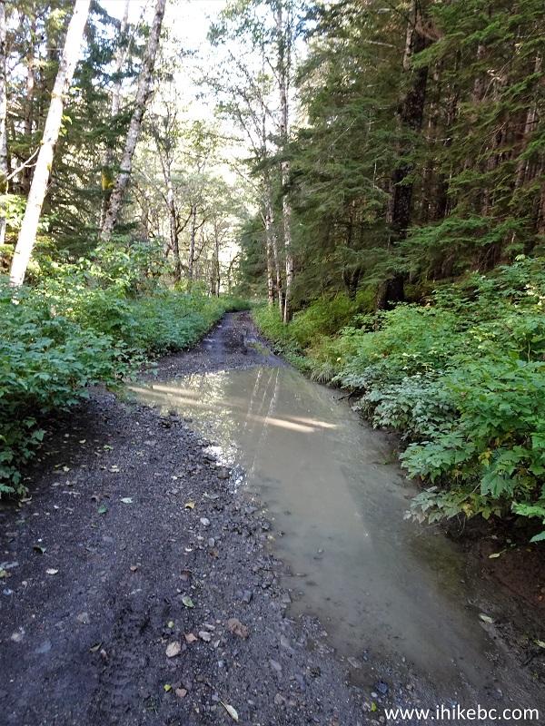
Ore Mountain Trailhead Access Road
18. Now at the 260 meter mark.
Access Road to Ore Mountain Trailhead near Stewart BC
19-20. At 530 meters, there is a small creek crossing. We were able to stone-hop across the creek, but a bit of wading might be required if the water level would be higher. Ignore the trail on the right before the creek.
Ore Mountain Trailhead Road Creek Crossing
21. Ore Mountain trailhead access road after the creek.
Access Road to Ore Mountain Trail near Stewart BC Canada
22. At 610 meters from Clements Lake Recreation Site, we have reached Ore Mountain trailhead. There is a pullout good for several vehicles.
Ore Mountain Trailhead Parking Area
23-24. What a neat trail sign!
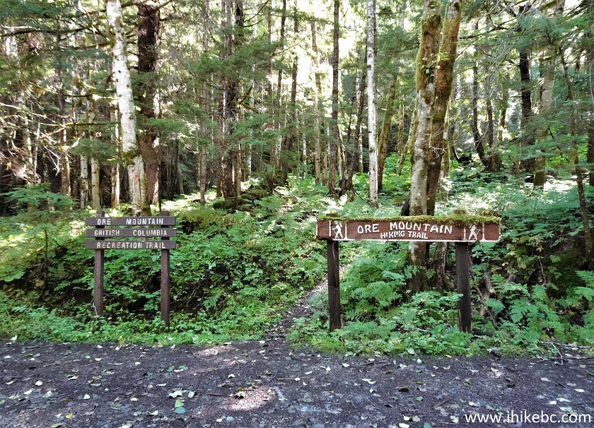
Ore Mountain Trailhead
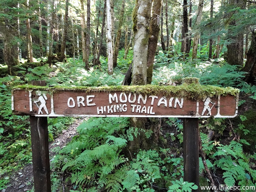
Ore Mountain Trail Sign
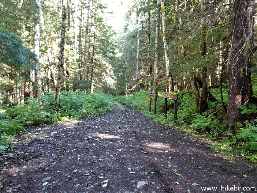
25. The trail begins. At 370 meters here.
Ore Mountain Trail Hike in Stewart BC Area
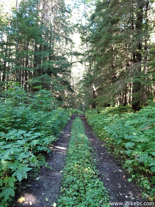
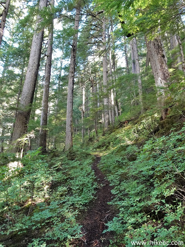
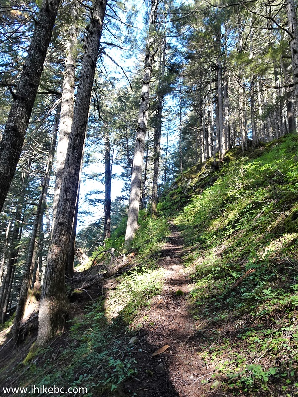
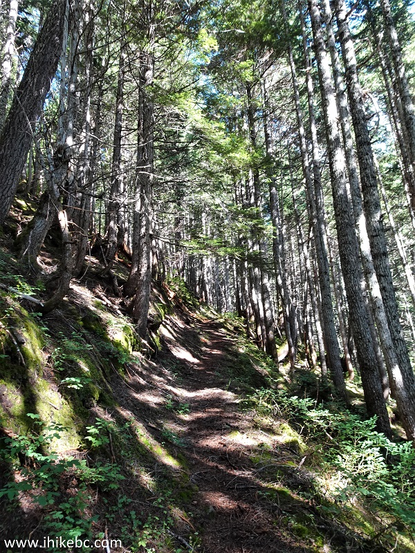
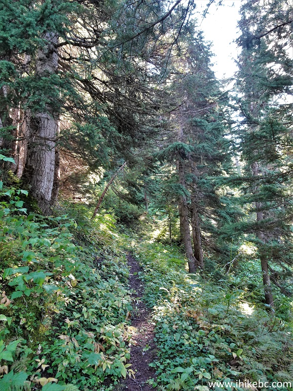
26. Until the creek crossing, Ore Mountain Trail is easy-to-moderately challenging, with a steady elevation gain. Here we are at the 1.23 km mark.
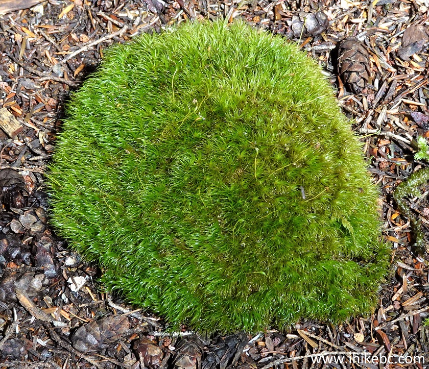
27-28. A cool moss on the trail.
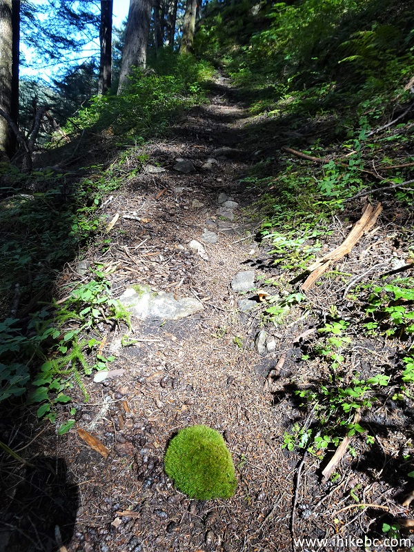
Stewart BC Hiking - Ore Mountain Trail
Moss
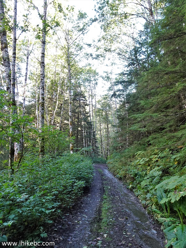
29. Lots of shade, no bugs, great hiking so far - at the 3.0 km mark.
Ore Mountain Trail - British Columbia Hiking near Stewart
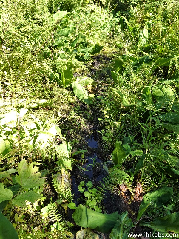
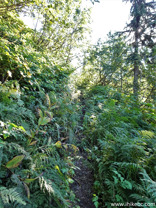
30-31. However, by 3.26 km of the trail things got complicated in a hurry. First, there was this badly overgrown muddy stretch filled with scratching and stinging plants. Your uncovered skin would be mighty unhappy.
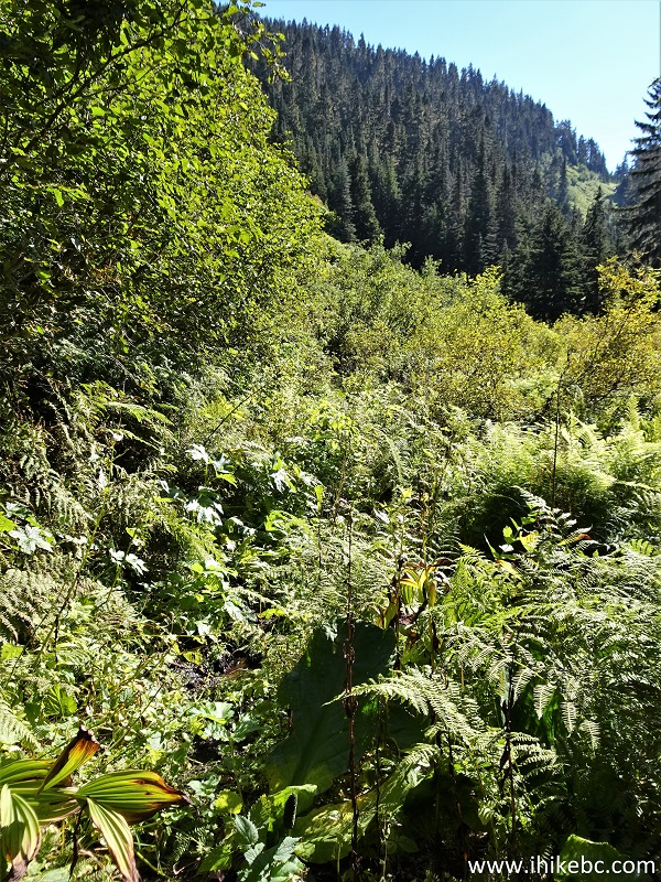
Stewart BC Trail - Ore Mountain Hike
32. Then, 3.4 km from the trailhead, a creek crossing is in order, and the bridge consists of several very slippery logs. On the way in, we slipped from the log on the left and dipped the left foot into the creek. On the way back, we slipped at the beginning of the bridge and landed on the back - good thing the backpack softened the landing.
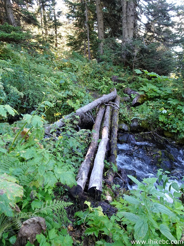
Ore Mountain Creek Crossing
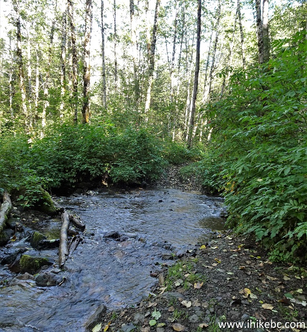
33. The creek looks fine, though. Here it is with a slight zoom.
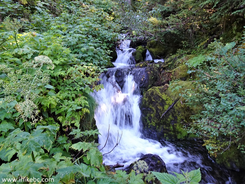
Creek - Ore Mountain Trail
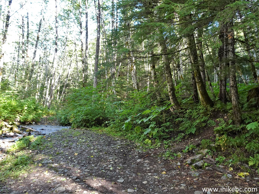
33. After the creek, Ore Mountain Trail looks ok for a bit. At 3.48 km here.
Hike in Stewart BC Area - Ore Mountain Trail
34-35. But, soon, a rather dangerous part of the trail arrives and goes for about 500 meters almost all the way to the pond. The path is overgrown again, and the plants are quite slippery. Unlike the muddy overgrown stretch before the bridge, this time around the path is slanted to the right, where there is a substantial drop-off. You would not fall too far, maybe 20-30 meters down the plant-covered slope, but it might still hurt a lot. The worst part is going back, when the momentum carries you towards the drop-off due to the slant. The edge of the path is mostly obstructed by vegetation too, so watch your step and definitely use those hiking poles to keep your balance.
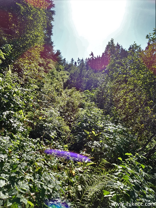
Ore Mountain Hiking Trail British Columbia
Our Ore Mountain Trail Hike Trip Report Continues on Page 2.


|
 |
![]()
![]()
![]()
ihikebc.com Trip 269 - Ore Mountain Hike (Near Stewart BC) Page 1 of 2