Trip 231 - September 1, 2021 (Wednesday)
Pacific Rim National Park Reserve Visit
Near Tofino BC Canada
Page 4 of 4 -
Long Beach
Liked (Long Beach): Beach and ocean views, Lovekin Rock, Incinerator Rock.
Of Note (Long Beach): Tsunami hazard zone, parking pass required, beware of rip currents in the ocean - no lifeguards on duty at the Park.
Related Website: Pacific Rim National Park Reserve - Official Website.
Vancouver Island Backroad Mapbook (9th edition) Park Coordinates: Page 15 (Kennedy Lake) A7, Page 14 (Tofino) G7-G6-F6-E6.
Pacific Rim National Park Reserve occupies a huge area on the West Coast of Vancouver Island. One part of the Park is a famous multi-day West Coast Trail located near Bamfield. Today we have visited another part, which is a series of beaches, popular with surfers, located by Highway 4 near the town of Tofino.
Highway 4 starts on the East coast of Vancouver Island near Parksville, goes through Port Alberni (the last town with major stores and services), then reaches tiny Tofino 2 hours and 120 kilometers later.
Surfing is the main activity in this part of Pacific Rim National Park Reserve, as the few trails that exist here are quite short. The best hike in this part of British Columbia - Wild Pacific Trail - is actually about 30 kilometers away near Ucluelet.
If you plan on camping in a vehicle, note that wild camping opportunities are few near the Park, and overnight parking is not allowed on any of the lots. Also, a parking pass is required, which is good until 4 PM the next day, and is sold at every parking lot, as well as Pacific Rim Visitor Centre where Highway 4 makes a right turn to head towards Tofino, and a left turn leads to Ucluelet.
There are many different attractions in this part of Pacific Rim National Park Reserve, and today we have visited four beaches:
Page 1 - Florencia Bay Beach.
Page 2 - Wickininnish Beach - same turnoff from Highway 4 as Florencia Bay Beach, then a split.
Page 3 - Combers Beach - long access from parking lot, no surfers usually make it there.
Page 4 - Long Beach (this page) - most popular with surfers, with a famous Lovekin Rock in the ocean.
Long Beach is by far the most popular beach at the Pacific Rim National Park Reserve. It is located a further 5.7 km down BC Highway 4 (towards Tofino) from Combers Beach (and about 16.4 km from Pacific Rim Visitor Centre). Tofino is approximately 15 km further West. Across the highway from Long Beach parking lot is a 2-km-long (or so) road to Tofino's Long Beach airport. So, you can fly to Tofino, take a cab, and be surfing within 30 minutes after landing.
Long Beach features a very prominent and picturesque Lovekin Rock, where most surfers can be found. Do note that there are very strong rip currents near the rock, and a few people drowned there in recent memory. Even if you are not a surfer, walking on Long Beach is a very pleasant activity, with ocean and beach vistas, surfers all around, and Lovekin Rock in the ocean near the beach.
58-59. We are Westbound on BC Highway 4, with Tofino being about 15 km ahead. Turning right would lead to Tofino's Long Beach Airport, and Long Beach itself is located by turning left at this intersection.
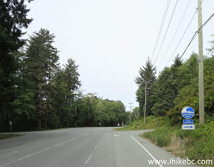
BC Highway 4 Near Long Beach Turnoff and Tofino Airport Road Turnoff
60. The parking lot is right by the highway. Warning messages flash on a big screen.
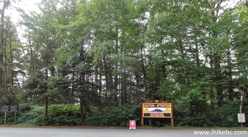
Entrance to Long Beach Parking Lot - Pacific Rim National Park Reserve
61. The parking lot is very large, good for several hundred vehicles, but gets filled quickly too.
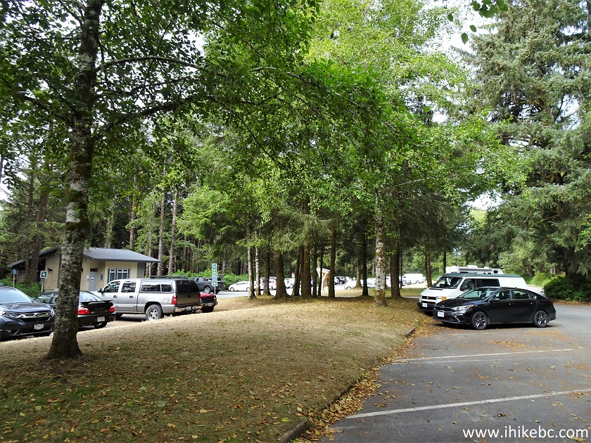
Long Beach Parking Lot near Tofino BC Canada
62. The entrance to a short access path to Long Beach.
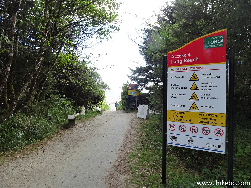
Entrance to Long Beach Access Path
63. Lots of fog in the morning made for some very interesting views.
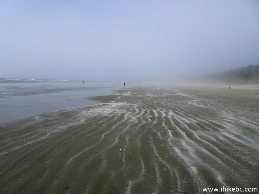
Pacific Rim National Park Reserve - Long Beach in Fog
64-65. Here is that Lovekin Rock, fog and all.
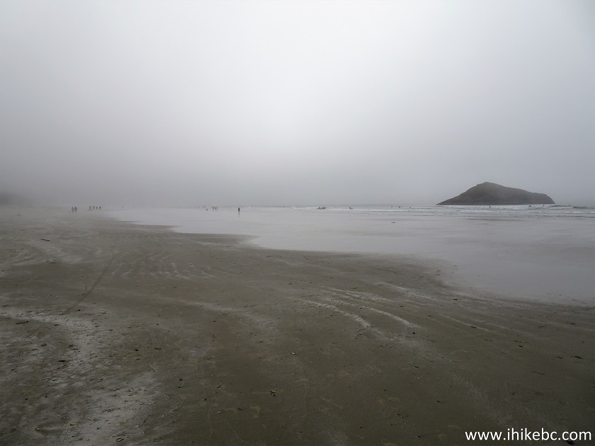
Long Beach near Tofino British Columbia Canada
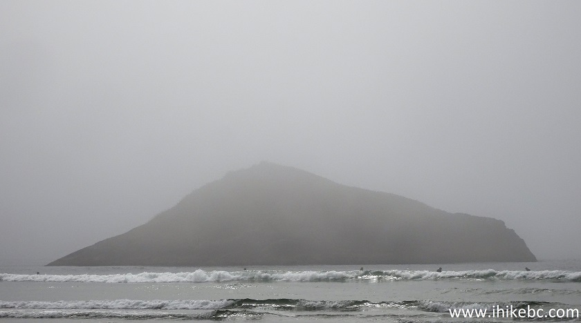
Lovekin Rock in Fog
66. Hundreds of surfers were enjoying Long Beach. Here we have two surfers talking.
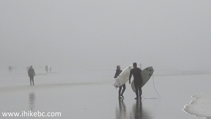
Surfers on Long Beach near Tofino British Columbia Canada
67. And here is a young surfer heading to hit the waves.
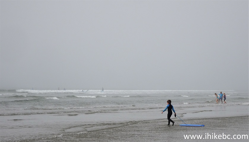
Young Surfer Entering the Ocean
68-69. Adults are having a blast too.
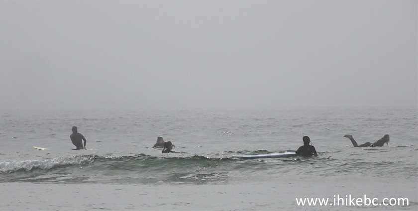
Surfers in Pacific Rim National Park Reserve British Columbia
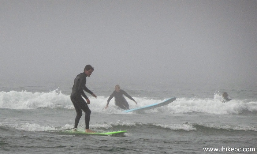
Surfing at Long Beach near Tofino BC Canada
Here is our Video of the Surfers and Long Beach in the Fog.
And now surfing with the fog gone
.
70-71. The fog was gone when we came back in the afternoon, and the views were simply fabulous.
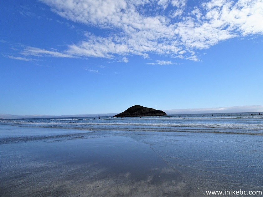
Long Beach near Tofino
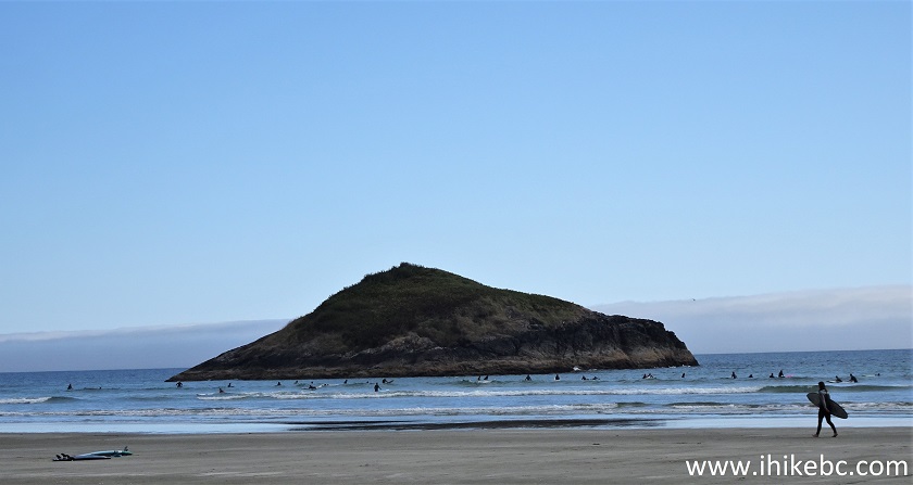
Lovekin Rock Pacific Rim National Park Reserve British Columbia Canada
72. About 300 meters to the West of Lovekin Rock is this Incinerator Rock. A very small and tight parking lot is located nearby.
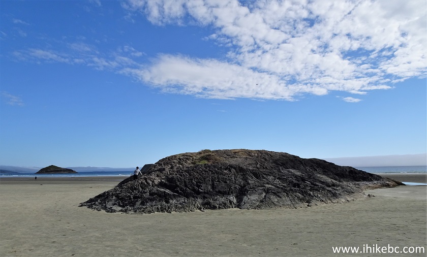
Incinerator Rock near Tofino BC
73-74. A view of Long Beach and Lovekin Rock from Incinerator Rock.
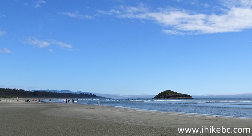
Long Beach on Vancouver Island near Tofino
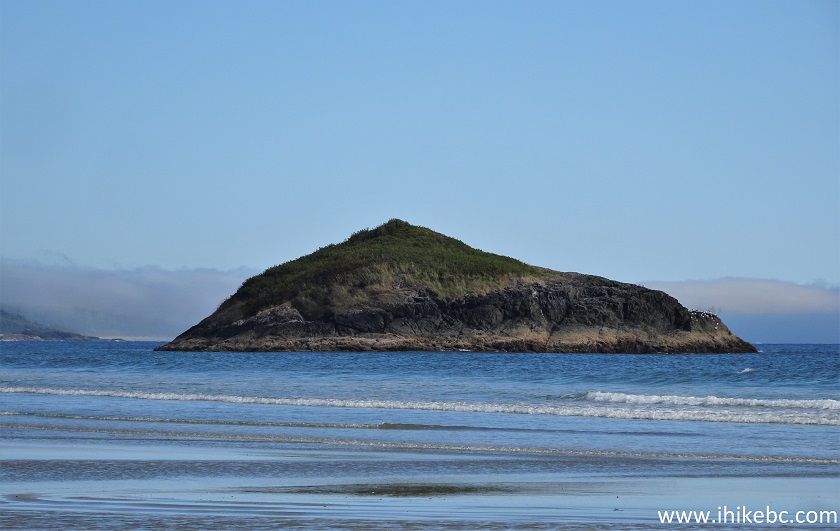
Lovekin Rock
75-76. A perfect day to make a painting.
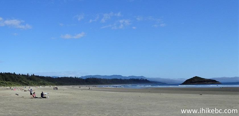
Painting on Long Beach near Tofino British Columbia
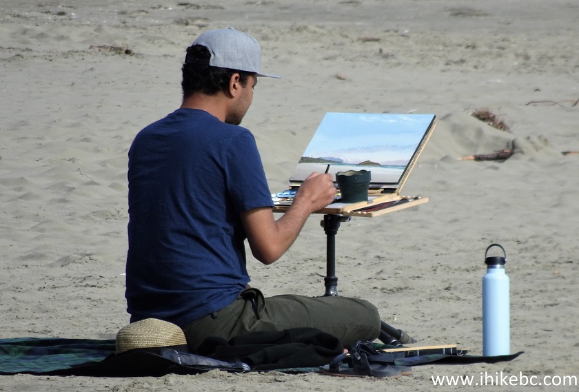
Painter on Long Beach in Pacific Rim National Park Reserve Canada
77. Long Beach is sure a pleasant place to visit.
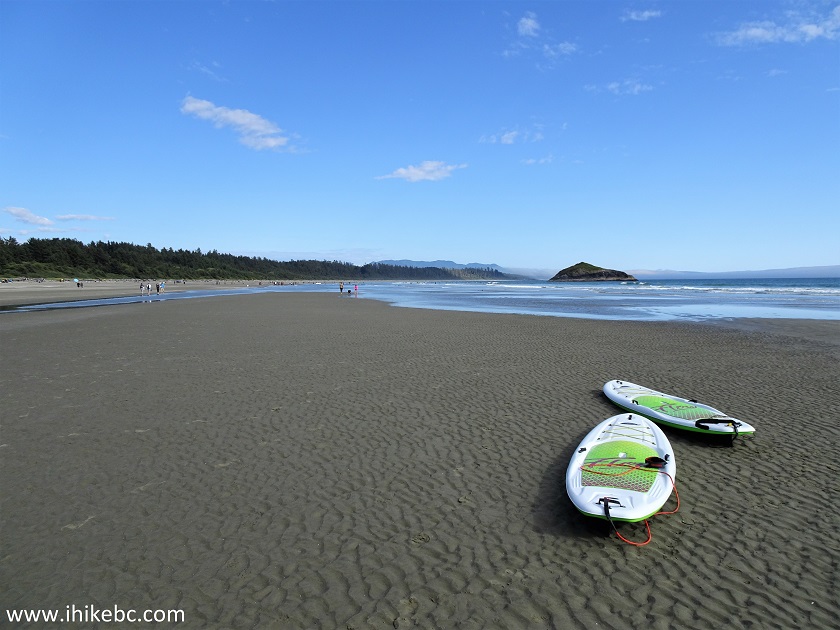
Long Beach - Vancouver Island - British Columbia
Here is our video of walking on Long Beach.
More ihikebc videos are on our YouTube Channel.
We have thoroughly enjoyed visiting this part of Pacific Rim National Park Reserve. Highly recommended.
|
|
|
ihikebc.com Trip 231 - Pacific Rim National Park Reserve Visit Page 4 of 4 - Long Beach


