![]()
![]()
![]()

Trip 188 - June 1, 2020 (Monday)
Mount Pope Trail Hike
Mount Pope Provincial Park
Near Fort St. James BC
Page 2
of 2
Liked: Easy access to the trailhead via a short scenic drive. Good views from the second viewpoint, and 360⁰ view from the gazebo at the end of the trail. Shade in the forest. Several fine forest scenes. Benches along the trail. The lower part of the trail can be hiked in a loop.
Of Note: Some bugs and mosquitoes, especially in the upper part of the trail. Steep unbarricaded drop-offs at the second viewpoint. Steep access to the gazebo. Hiking poles and boots are recommended.
Northern BC Backroad Mapbook (3rd edition) Trailhead Coordinates: Page 24 (Stuart Lake) G3.
Related Websites: Mount Pope Provincial Park - BC Parks Official Website. Stuart Lake - Wikipedia.
Another Trip in Fort St. James Area: Fort St. James National Historic Site Visit.
Mount Pope Trail is a moderately difficult 6.5 km hike, located in Mount Pope Provincial Park right next to the town of Fort St. James. A short scenic drive leads to the trailhead parking lot, which can accommodate about 10 vehicles. Plentiful parking is available along the access road, which is approximately 100 meters long. The trail is rather popular, judging by the numerous notes left in the visitor book inside the gazebo at the end of the hike. There are a few long climbs, but they are not too steep. The steepest part of the trail is right before the gazebo, though it's not that long. The view from the gazebo is very impressive. While there are no majestic mountain peaks in the vicinity, there is so much green and blue, with a huge Stuart Lake in front of you, that it certainly makes it a worthwhile hike. And the second viewpoint, while not as panoramic, also has some very decent views.
The lower part of the trail can be hiked in a loop, and climbers can extend their adventure by climbing a large rock situated along the Mount Pope Trail near the end of that loop.
31. The end is near.
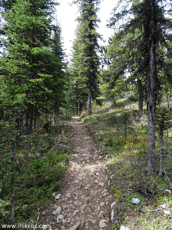
Mount Pope Trail - Fort St. James Trail
32. And the gazebo is now in view, about 6.4 km from the start of the trail. The last 100 meters are the steepest.
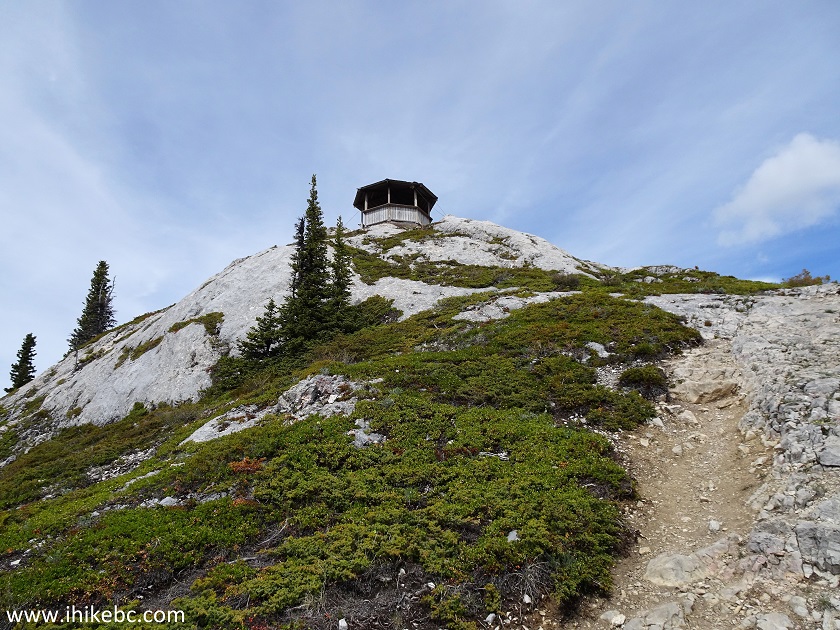
Mount Pope Trail - Hike in Fort St. James Area
33. Getting closer.
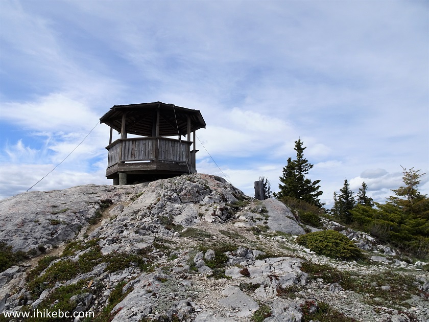
Mount Pope Gazebo
34. And we are inside the gazebo. Coordinates: N 54⁰30.290' W 124⁰20.412'. Elevation: 1,455 meters (758 meters elevation gain from the start of the trail). It's quite windy up here, but that helps with keeping the mosquitoes away, while you are checking out the impressive 360⁰ view. There is a guest book inside the black box.
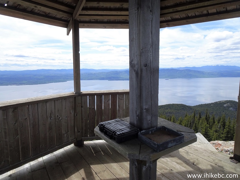
Inside Mount Pope Gazebo
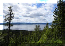
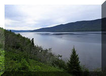
35-38. Here are some of the better photographs of the views from the top of Mount Pope. The video below gives a more complete picture of what to expect.
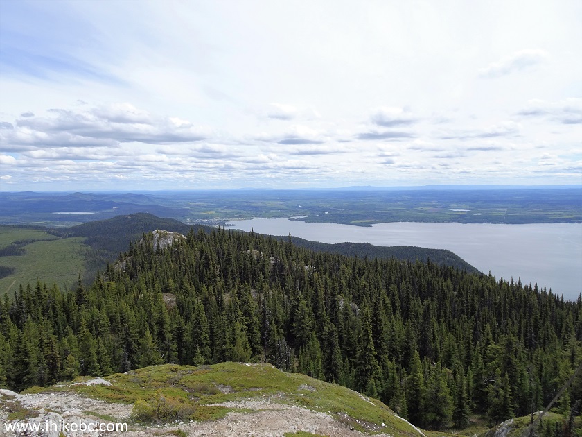
Stuart Lake seen from Mount Pope Gazebo
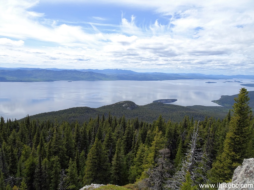
Stuart Lake British Columbia
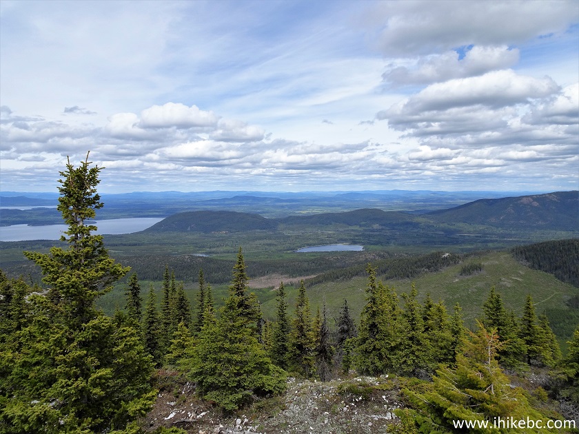
Mount Pope Provincial Park
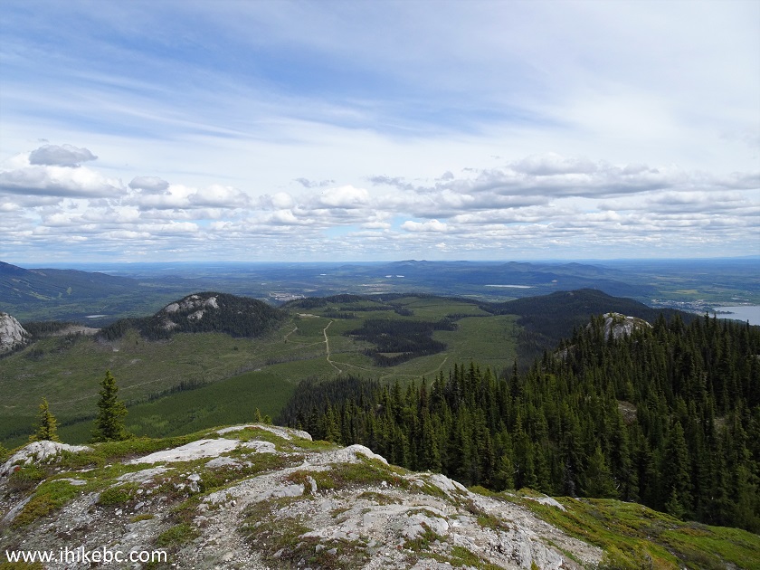
Mount Pope Provincial Park near Fort St. James BC
Canada
Here is our video of the views from the gazebo.
The town of Fort St. James can be seen in the distance.
More ihikebc videos are on our YouTube Channel.
39. On the way back, we decided to complete the loop, so turned to the right upon reaching the split previously seen in photo #24. The sign warns of steep sections, but there is nothing too cumbersome down there, especially compared to the final climb to the gazebo.
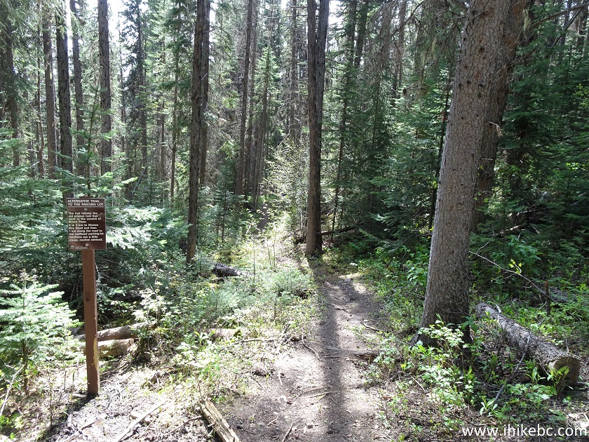
Trail on Fort St. James Area - Mount Pope Trail
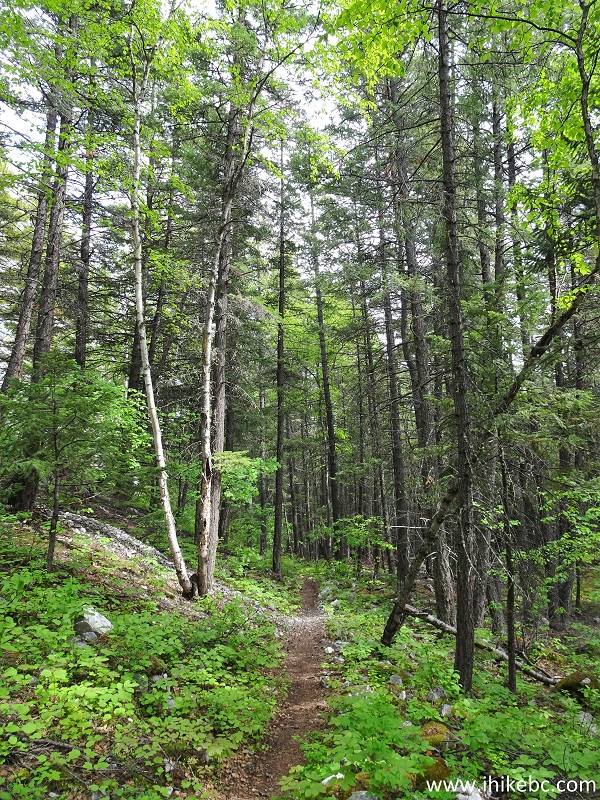
40. It's yet another pleasant hike in the forest.
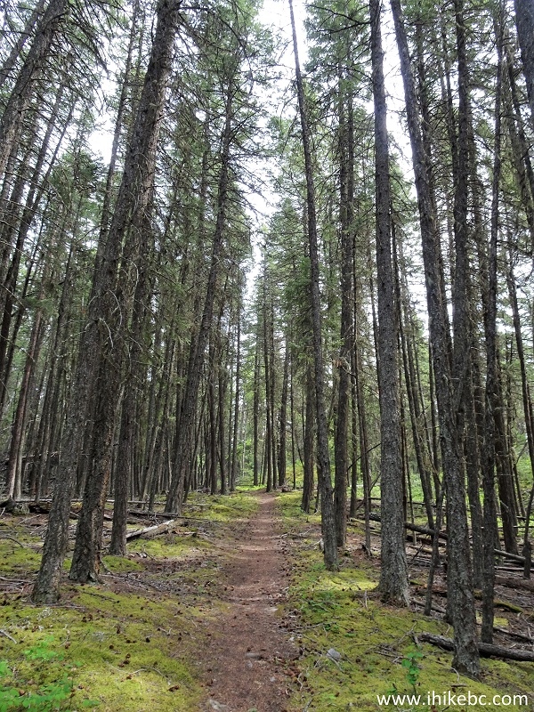
Mount Pope Trail - Hike in Fort St. James area
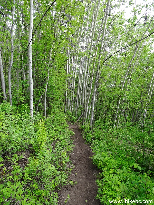
41. Slightly over 2 km after the split, stay left at the split pictured below.
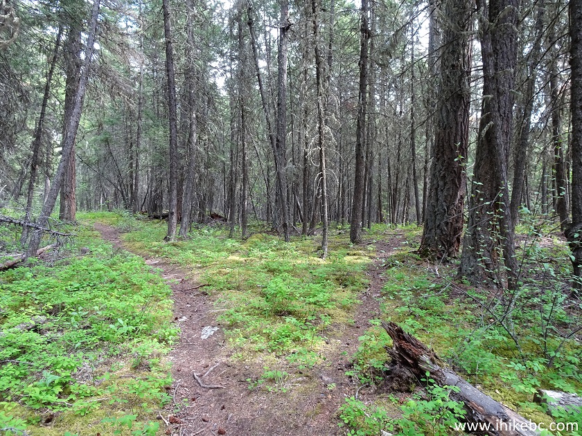
Fort St. James Hiking - Mount Pope Trail
42. A few hundred meters later, this neat scene.
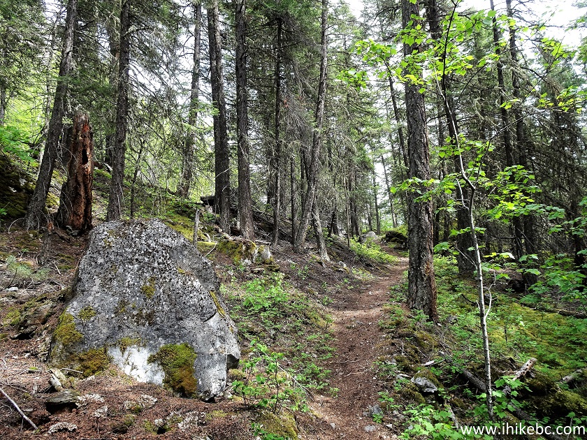
Mount Pope Trail - BC Hiking
43. Hike a bit further...
British Columbia Hiking - Mount Pope Trail near Fort
St. James
44...and reach a high rock about 100 meters long. Apparently, it is popular with climbers.
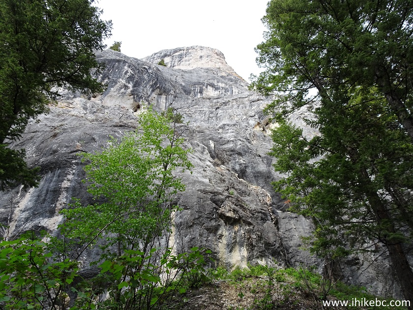
Climbing Rock by Mount Pope Trail near Fort St. James
BC
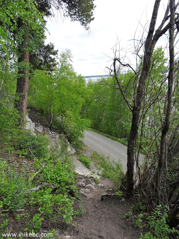
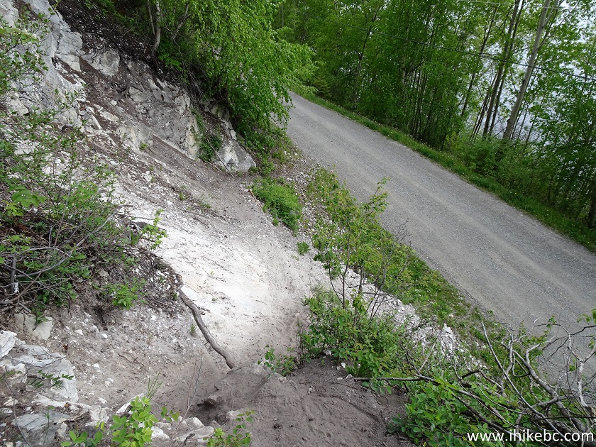
45. The trail then goes through a private property, and a sign requests that you stay on the trail.
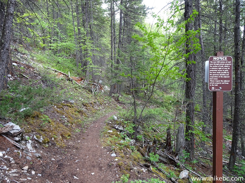
Mount Pope Trail
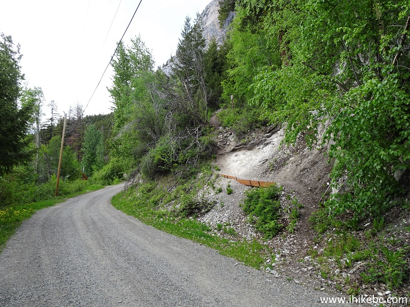
46. Getting close to Stones Bay Road.
Hiking in Fort St. James Area - Mount Pope Trail
47. And here is the steepest part of the loop, right before the end of the trail.
48. Nothing too complicated, but do watch for whatever traffic there might be found on this road.
49. Looking back at the trail from Stones Bay Road. Coordinates: N 54⁰28.649' W 124⁰19.947'. Elevation: 685 meters.
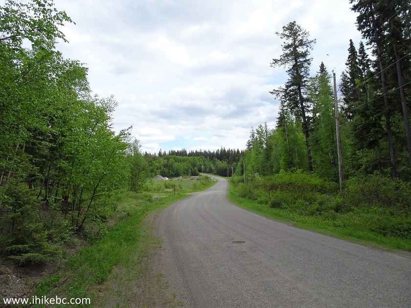
50. After finishing the trail, turn left and walk for 1.4 km.
Stones Bay Road Fort St. James BC Canada
51. And we arrive to the trailhead access road, seen from the other side in photo #13.
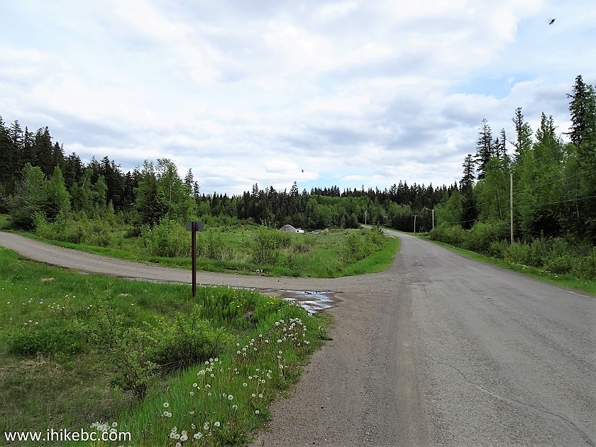
Stones Bay Road at Mount Pope Trail Access Road Fort
St. James BC Canada
Mount Pope Trail is a good, moderately difficult hike, which leads to impressive views. Highly recommended.


|
 |
![]()
![]()
![]()
ihikebc.com Trip 188 - Mount Pope Trail Hike (near Fort St. James BC) Page 2 of 2