![]()
![]()
![]()

Trip 188 - June 1, 2020 (Monday)
Mount Pope Trail Hike
Mount Pope Provincial Park
Near Fort St. James BC
Page 1
of 2
Trailhead Location: Near the town of Fort St. James in central British Columbia, approximately 160 kilometers Northwest of Prince George via Hwy 16 and Hwy 27.
Liked: Easy access to the trailhead via a short scenic drive. Good views from the second viewpoint, and 360⁰ view from the gazebo at the end of the trail. Shade in the forest. Several fine forest scenes. Benches along the trail. The lower part of the trail can be hiked in a loop.
Of Note: Some bugs and mosquitoes, especially in the upper part of the trail. Steep unbarricaded drop-offs at the second viewpoint. Steep access to the gazebo. Hiking poles and boots are recommended.
Northern BC Backroad Mapbook (3rd edition) Trailhead Coordinates: Page 24 (Stuart Lake) G3.
Related Websites: Mount Pope Provincial Park - BC Parks Official Website. Stuart Lake - Wikipedia.
Another Trip in Fort St. James Area: Fort St. James National Historic Site Visit.
Follow @ihikebc Tweet
Mount Pope Trail is a moderately difficult 6.5 km (one way) hike, located in Mount Pope Provincial Park right next to the town of Fort St. James. The trail has three viewpoints, with progressively better views. A short scenic drive leads to the trailhead parking lot, which can accommodate about 10 vehicles. Plentiful parking is available along the access road, which is approximately 100 meters long. The trail is rather popular, judging by the numerous notes left in the visitor book inside the gazebo at the end of the hike. There are a few long climbs, but they are not too steep. The steepest part of the trail is right before the gazebo, though it's not that long. The view from the gazebo is very impressive. While there are no majestic mountain peaks in the vicinity, there is so much green and blue, with a huge Stuart Lake in front of you, that it certainly makes it a worthwhile hike. And the second viewpoint, while not as panoramic, also has some very decent views.
The lower part of the trail can be hiked in a loop, and climbers can extend their adventure by climbing a large rock situated along the Mount Pope Trail near the end of that loop.
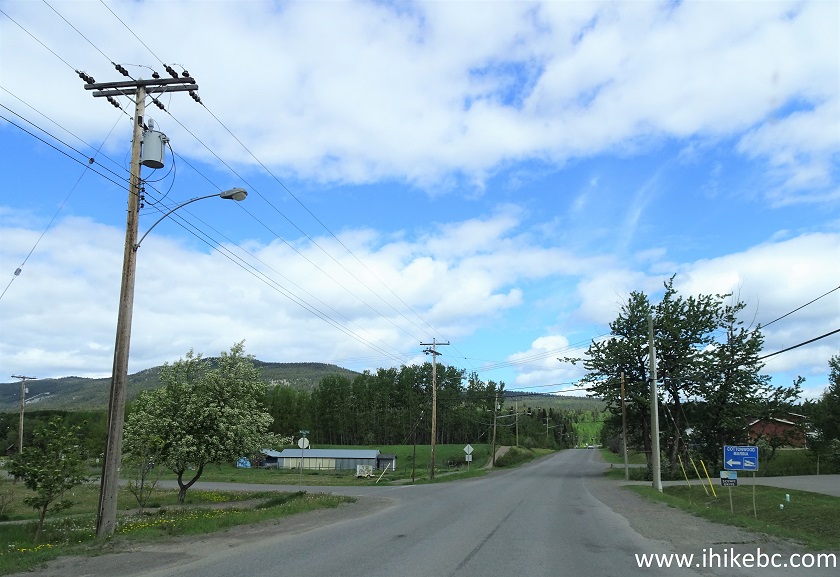
1. Highway 27 starts at Highway 16 just West of Vanderhoof, and leads to Fort St. James in about 54 kilometers. Here we are on Highway 27 North, entering the town of Fort St. James.
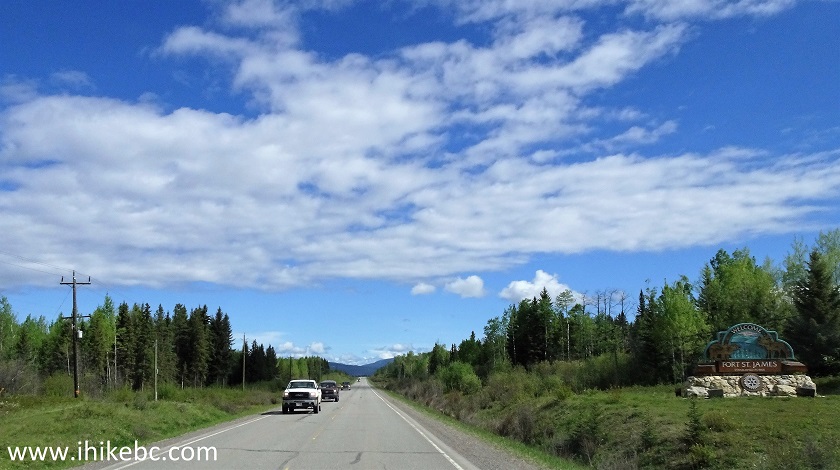
BC Highway 27 North - entering Fort St. James
2. Once in Fort St. James, which is a very small town, stay on Highway 27 (also called Stuart Lake Highway). The highway will make a left turn into downtown Fort St. James (a sign will point in that direction). You will then pass Save-on-Foods on the right side at the point seen in the photo below. The blue sign on the right side says "Campground. Beach. Marina. Scenic Lookout". The sign below that also promises a scenic drive.
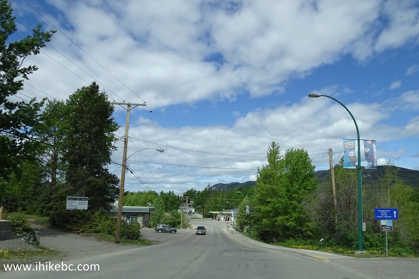
Fort St. James BC
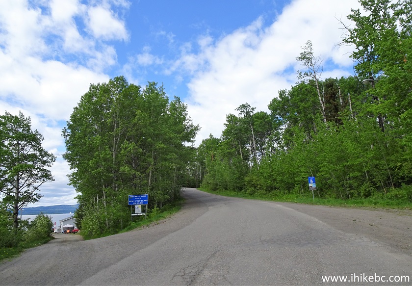
3. Very shortly, Cottonwood Park will appear on the left side.
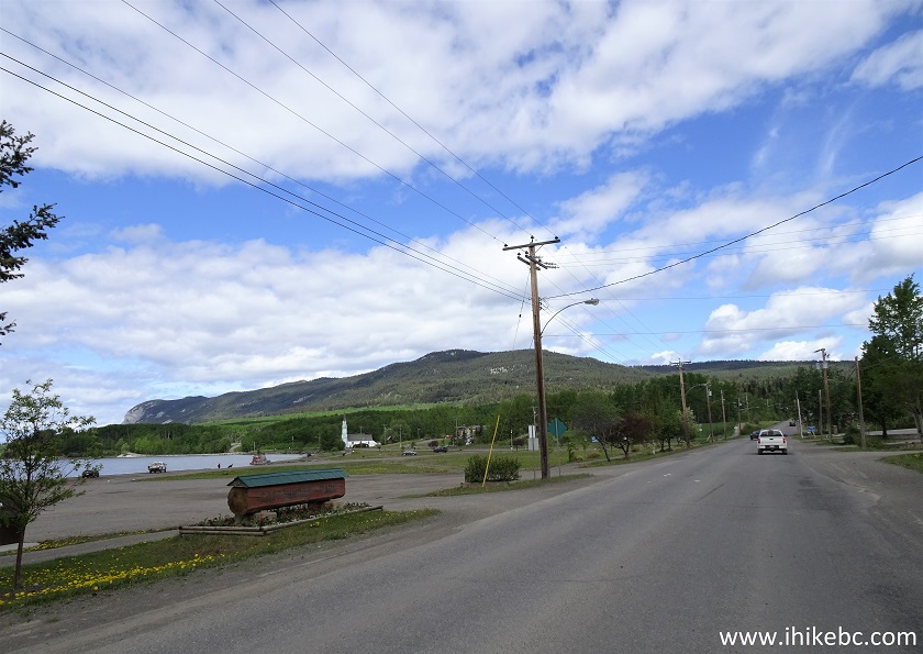
Stuart Lake Highway Fort St. James British Columbia
4. Cottonwood Park is located on the shore of Stuart Lake, and features this neat airplane statue.
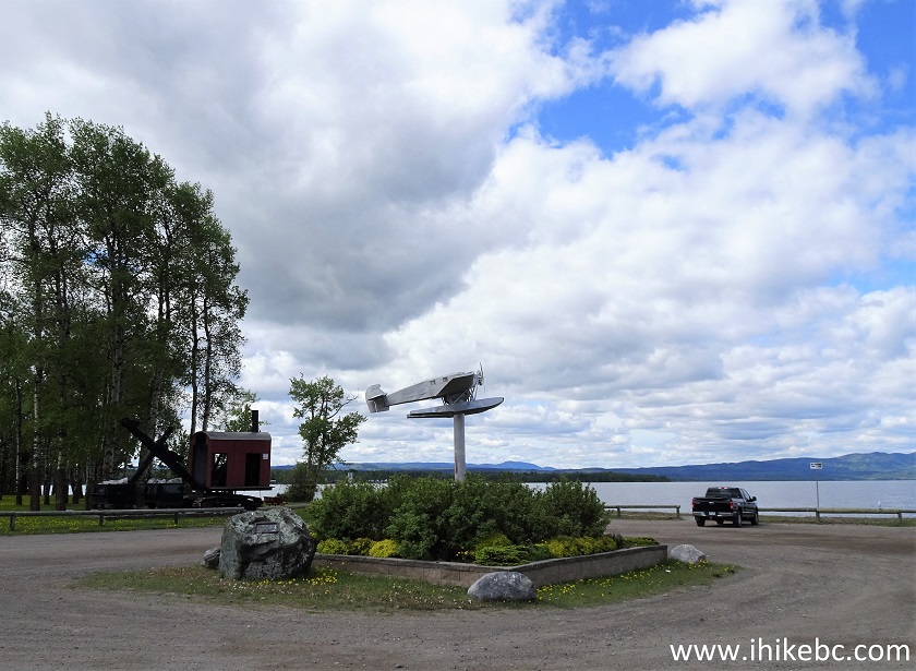
Cottonwood Park Fort St. James BC Canada
5. Here is Stuart Lake and a small campground at the Cottonwood Park.
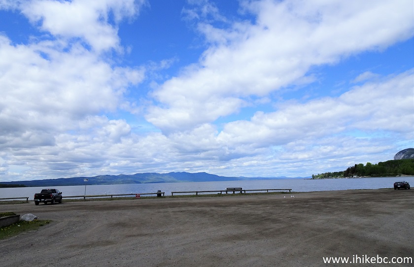
Fort St. James Cottonwood Park
6-7. Immediately after Cottonwood Park, turn left onto Lakeshore Drive. It's 4.6 km from here to Mount Pope trailhead.
Stuart Lake Highway at Lakeshore Drive Fort St. James
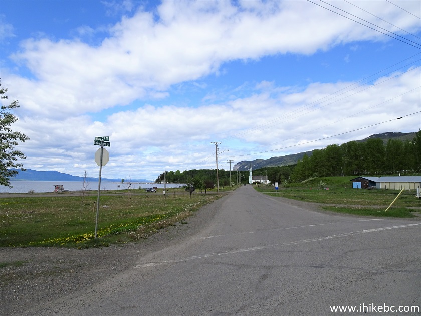
Lakeshore Drive at Stuart Lake Highway Fort St. James British Columbia
8. Now on Lakeshore Drive, with Our Lady of Good Hope Catholic church seen ahead.
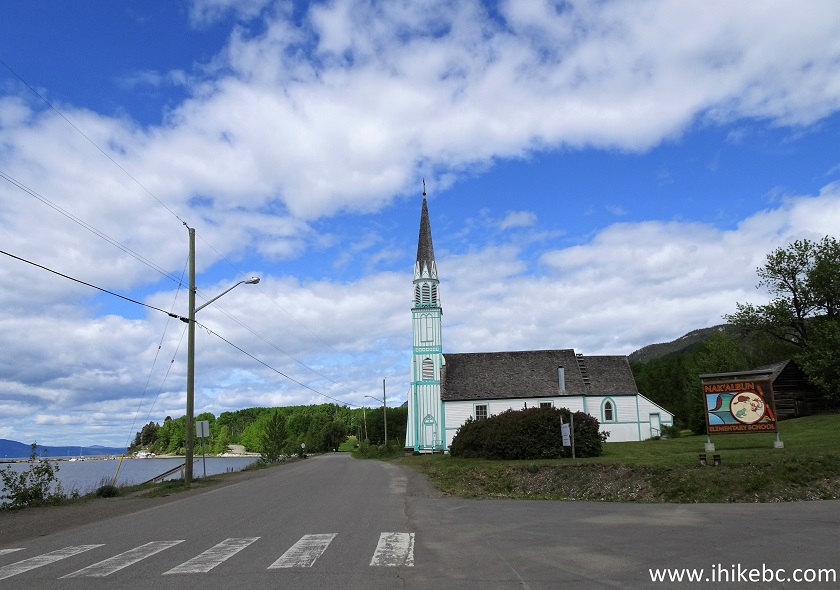
Our Lady of Good Hope Catholic Church - Lakeshore Drive Fort St. James
BC
9. Continuing on Lakeshore Drive, we see Cottonwood Marina access road on the left side.
Lakeshore Drive at Cottonwood Marina Access Road Fort St. James BC
10. Lakeshore Drive smoothly turns into Resort Hill Road, which, shortly, ends at Stones Bay Road, where we need to make a left turn, 1.5 km after starting at Lakeshore Drive by Cottonwood Park.
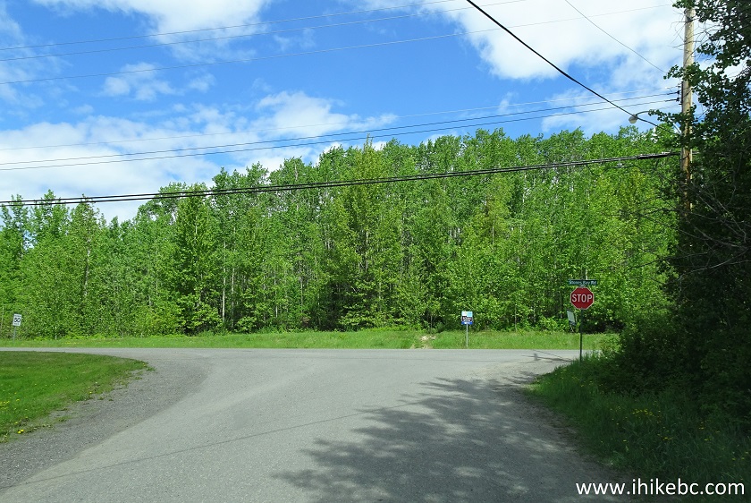
Resort Hill Road at Stones Bay Road Fort St. James BC
11. Driving on Stones Bay Road.
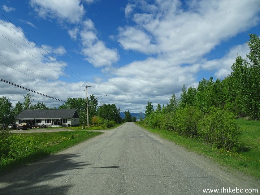
Stones Bay Road Fort St. James British Columbia
12. A pretty house on the left side.
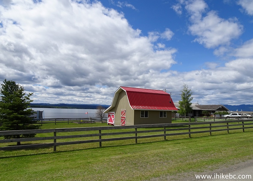
House on Stones Bay Road Fort St. James BC Canada
13. 4.5 km after turning from Hwy 27 onto Lakeshore Drive, a right turn would lead to Mount Pope trailhead. The sign with an arrow says "Mt. Pope Trail".
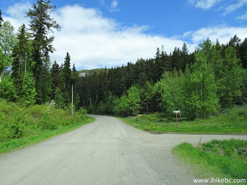
Stones Bay Road at Mount Pope Trailhead Access Road
14. Mount Pope trailhead access road after the turn.
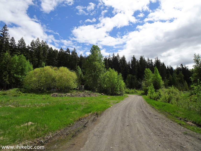
Mount Pope Trailhead Access Road
15. About 100 meters after turning from Stones Bay Road, we arrived at the Mount Pope trailhead parking area. Coordinates: N 54⁰28.199' W 124⁰18.924'. Elevation: 697 meters.
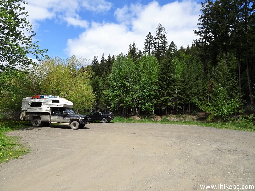
Mount Pope Trailhead Parking Area Fort St. James BC
16. Here is the trailhead.
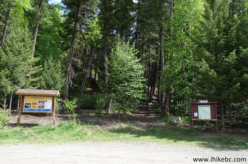
Mount Pope Trailhead - Hike in Fort St. James Area
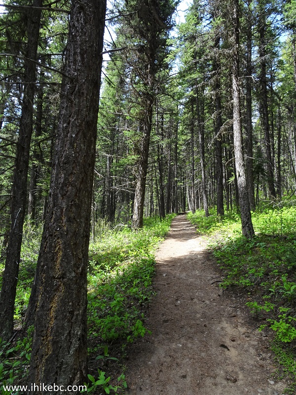
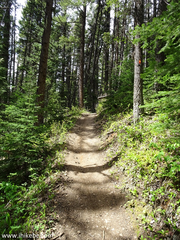
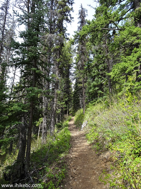
17. The trail in the forest is quite pleasant, with lots of shade.
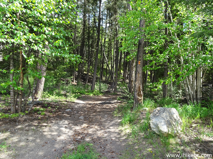
Mount Pope Trail - Mount Pope Provincial Park - Fort St. James Hiking British Columbia Canada
18. The bugs were not too bad for the first half of the Mount Pope Trail, allowing for hiking in shorts.
Fort St. James Trail - Mount Pope Trail
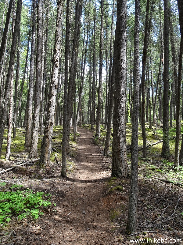
19. There is some steepness, but nothing too taxing.
Trail in Fort St. James Area - Mount Pope Trail
20. The first Mount Pope Trail viewpoint arrives at the 1.3 km mark of the trail (all distances are based on a GPS odometer and are approximate). The view is decent, but better views await ahead. One of the many convenient benches along this trail is located by the viewpoint.
Mount Pope Trail - Hike in Fort St. James Area
21. The bench.
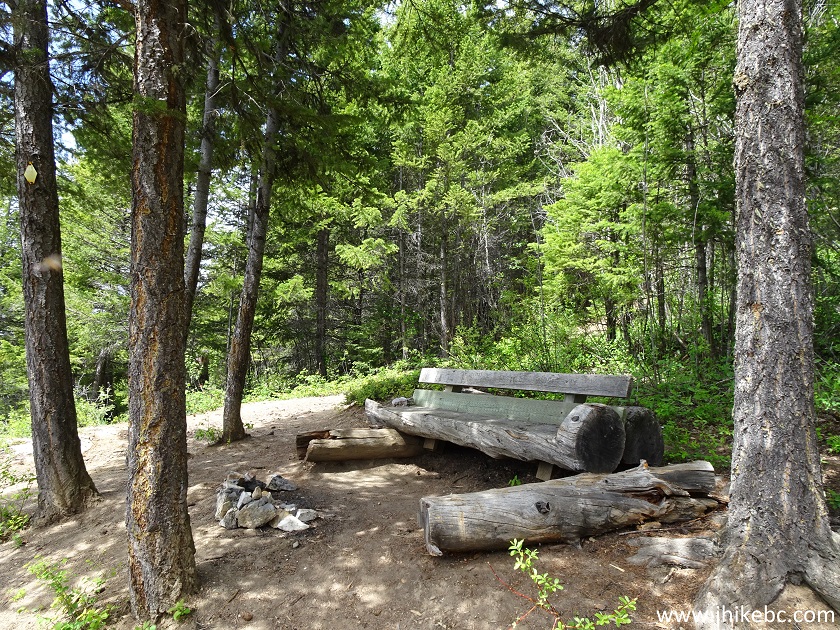
Bench on Mount Pope Trail near Fort St. James BC Canada
22. The view.
View from the First Mount Pope Viewpoint - British Columbia Hiking
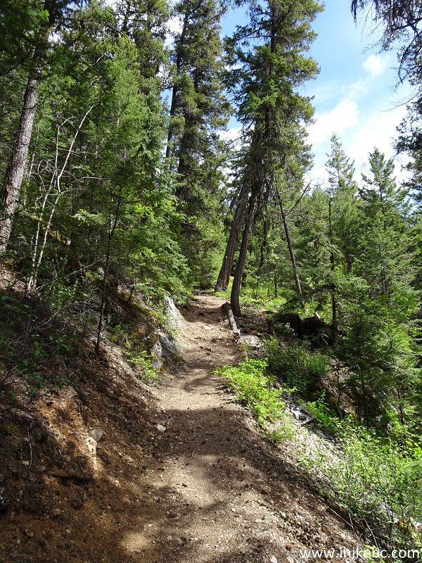
23. The trail.
Mount Pope Trail - Hiking in Fort St. James Area
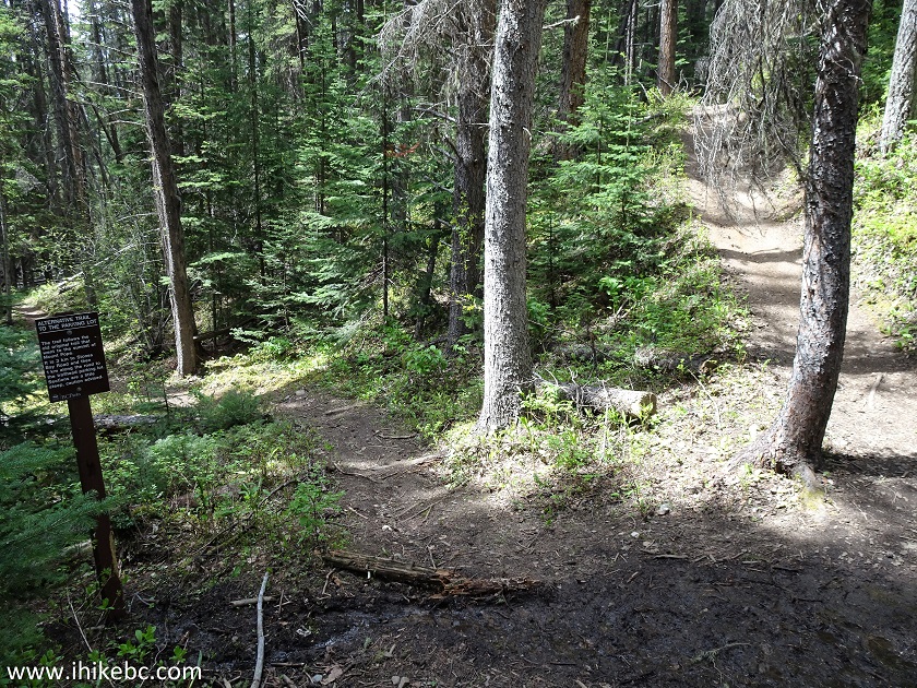
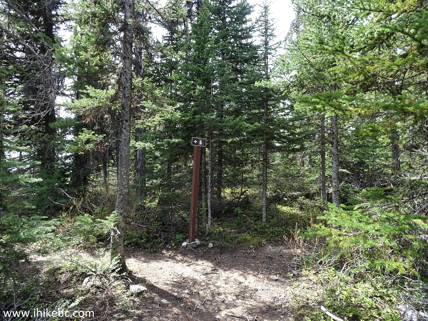
24. At 3.9 km, the loop part of the trail ends. Coordinates: N 54⁰29.612' W 124⁰19.443'. Elevation: 1,062 meters. This is where we were attacked by about two dozen mosquitoes, so long pants had to come out of the backpack. The mosquitoes remained a noticeable presence until the end of the trail. At this split, you can turn left, return to Stones Bay Road, then hike 1.4 km to the trailhead, which is what we did on the way back. The trail to the top continues on the right side.
Mount Pope Provincial Park British Columbia Canada
25. The trail to the top after the split.
Mount Pope Trail
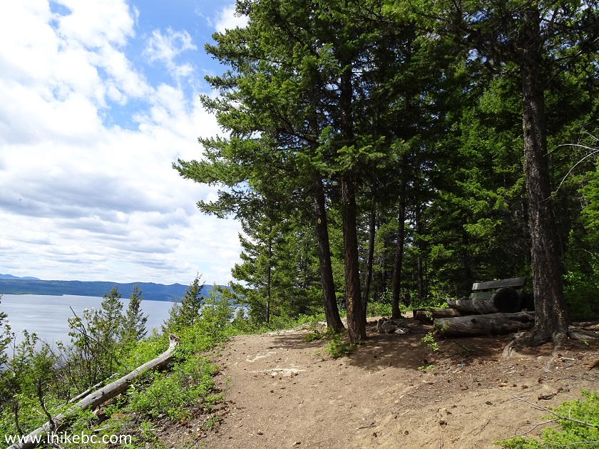
26. At 5.1 km, a very short trail on the left leads to the second viewpoint.
Fort St. James Hiking - Mount Pope Trail
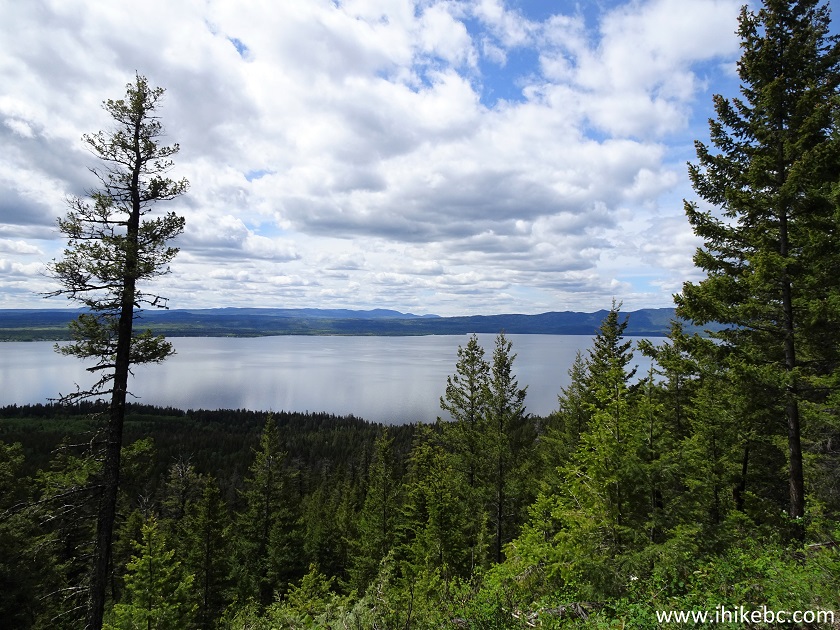
27-29. The views from the second viewpoint are quite good. Just watch for steep unbarricaded drop-offs. Left to right.
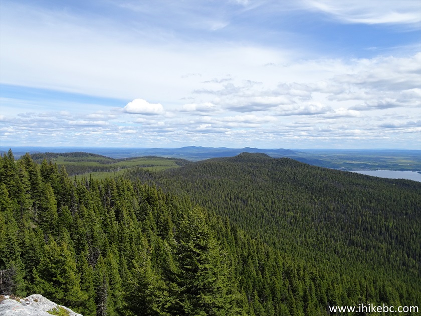
Mount Pope Provincial Park
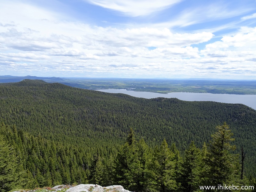
Mount Pope Trail View from Second Viewpoint
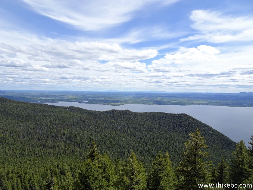
Stuart Lake Seen from Mount Pope Trail
Here is our video of the views from the second viewpoint.
More ihikebc videos are on our YouTube Channel.
30. Moving on to the gazebo at the end of the Mount Pope Trail, with that impressive 360⁰ view.
Mount Pope Hike
Our Mount Pope Trail Hike Trip Report Continues on Page 2.


|
 |
![]()
![]()
![]()
Follow @ihikebc Tweet
ihikebc.com Trip 188 - Mount Pope Trail Hike (near Fort St. James BC) Page 1 of 2