![]()
![]()
![]()

Trip 097 - September 25, 2015 (Friday)
Canty Lake Trail Hike
Near Mackenzie BC
Trailhead
Location: Northeastern British Columbia, West of the town of
Mackenzie, off Parsnip West Forest Service Road.
Liked: The views of Williston Lake and Canty Lake. Moss along the trail.
Of note: Half-hidden hole in the middle of the trail after the 2.0 km mark. Some parts of the trail are steep and muddy. Unsecured bench by the table closest to Canty Lake. Hiking boots and poles are highly recommended.
Northern BC Backroad Mapbook (3rd edition) Coordinates: Page 64 (Williston Lake) F7.
Canty Lake Trail starts off Parsnip West Forest Service Road (via a small access road), and leads to Canty Lake Recreation Site. It's a moderately challenging trail (though quite steep at times) with has several good views, and leads to a neat mountain lake. Having a few tables and a pit toilet by the lake is a nice bonus. Elevation gain is 571 meters over about 3 kilometers.
1. We start with the turnoff from Parsnip West FSR onto a short road which leads to Canty Lake trailhead. Coordinates: N 55⁰57.077' W 123⁰47.068'. For directions on how to get up to this point from BC Highway 97, check out our Parsnip West FSR trip report. The photo below is the same photo as photo #37 in that trip report.
Parsnip West Forest Service Road British Columbia Canada
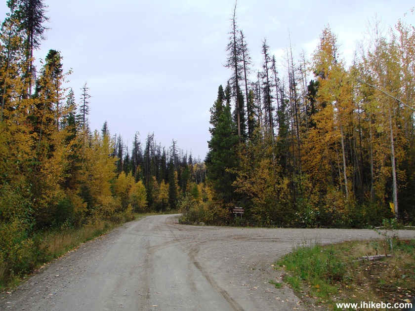
2. The short road after turning from Parsnip West FSR. After the turn, it's 2.8 km to the trailhead.
The road to Canty Lake Trailhead off Parsnip West FSR
3. There is a split 1.8 km after turning right from Parsnip West FSR. Take the road on the right.
Northeastern British Columbia Canada
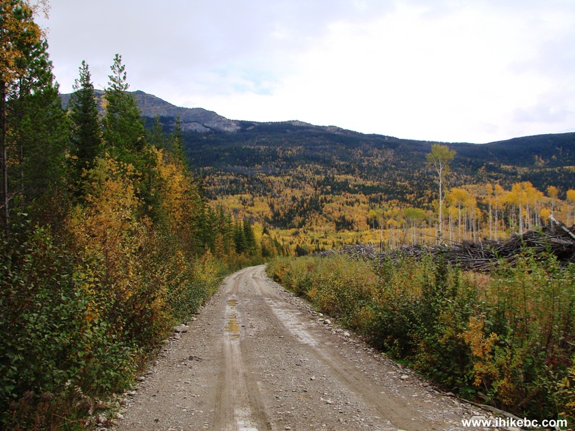
4. The last 500 meters before the trailhead the road narrows significantly, and you would have to deal with this hill. Should not be a problem, if you have a 4x4 or if the surface is dry. But, as we've got a heavy 2WD and the road surface featured wet dirt, this turned out to be quite a challenge. Might have been better to park before the road narrowed, as there is plenty of parking space back there.
Final approach hill to Canty Lake trailhead
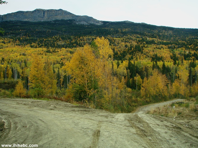
5. Looking back at the hill after we have finally made it. There is a drop-off on the right side (as you are driving up), and our ride started sliding in that direction. Much praying and the use of Tow Truck in a Box resulted in a successful outcome. The pieces of Tow Truck in a Box are seen in the middle of the photo below half-buried in dirt. This is the second time this nifty device proved its value. The first time was in 2011 on Harrison East Forest Service Road.
Tow Truck in a Box in dirt after helping to conquer a hill
6. Parking area by Canty Lake trailhead. Good for 2-3 vehicles. A pit toilet nearby.
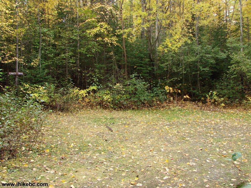
Canty Lake Trailhead Parking Area
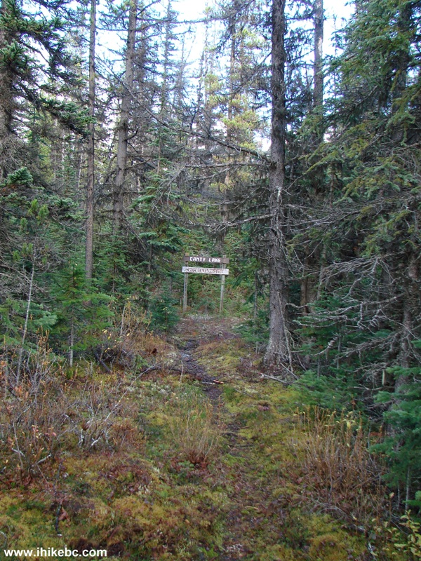
7. Canty Lake trailhead. Coordinates: N 55⁰57.053' W 123⁰44.628'. Elevation: 757 meters.
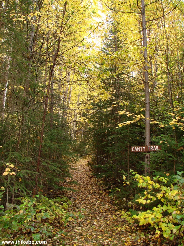
Canty Lake Trailhead British Columbia Canada
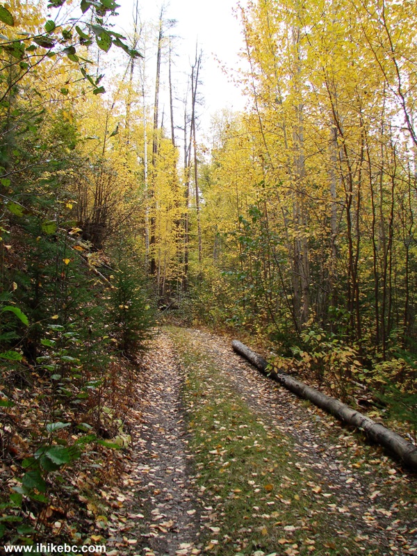
8. Small creek crossing comes soon thereafter.
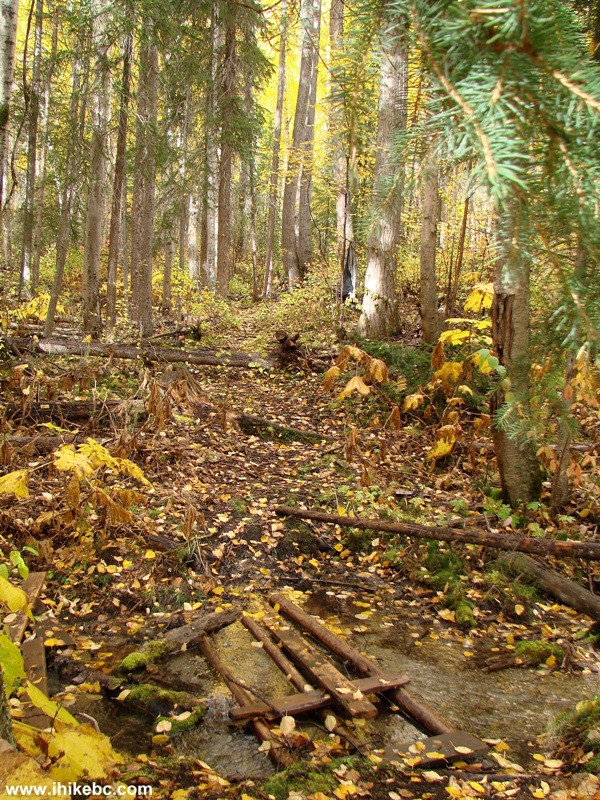
Canty Lake Trail in the vicinity of Mackenzie BC Canada
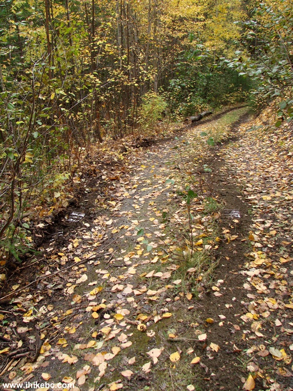
9. Canty Lake Trail is moderately challenging, as seen in this photo.
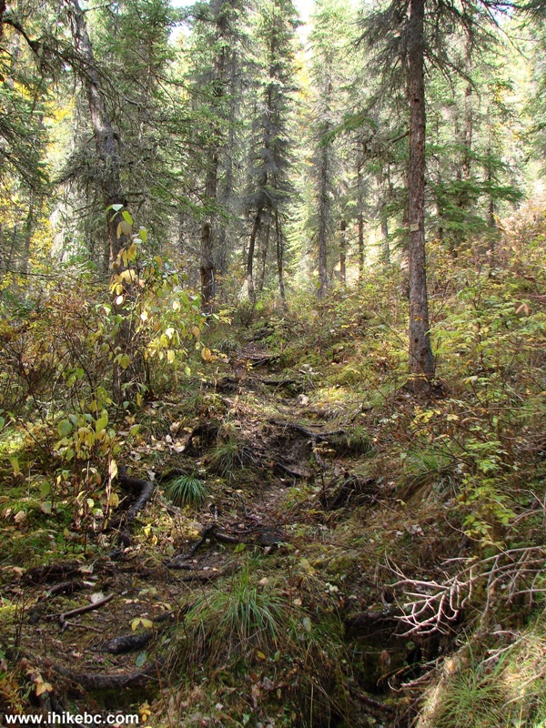
Mackenzie Hiking -
Canty Lake Trail BC Canada
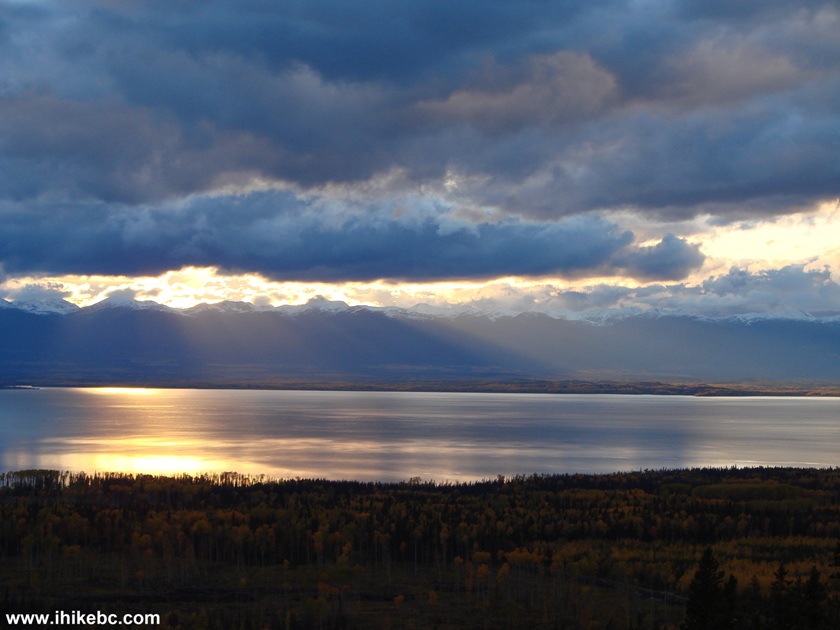
10. Twenty-five minutes later, the only (but quite good) view of Williston Lake appears behind.
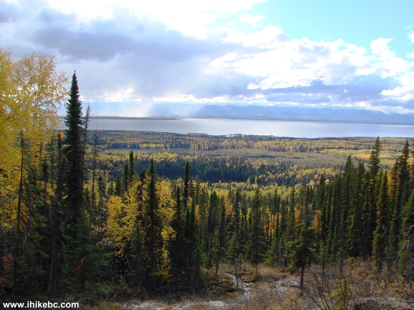
Williston Lake British Columbia
11. Around here there is also this gooey stuff on the trail.
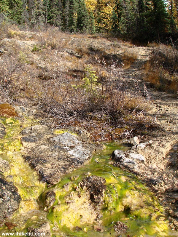
Canty Lake Trail - Mackenzie Hike
12. Some moss grows in this part of the trail too.
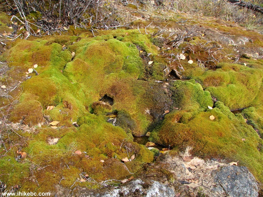
Moss on Canty Lake Trail BC Canada
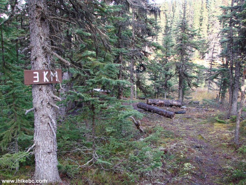
13. Canty Lake Trail is easy to follow, and is marked every 500 meters.
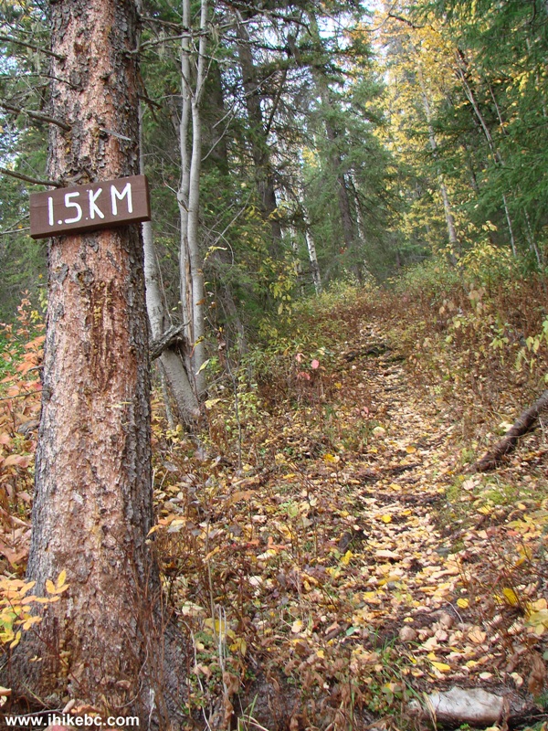
Canty Lake Trail - Hike in Mackenzie BC area
14. Here is a large moss-covered stone on the right side of the trail.
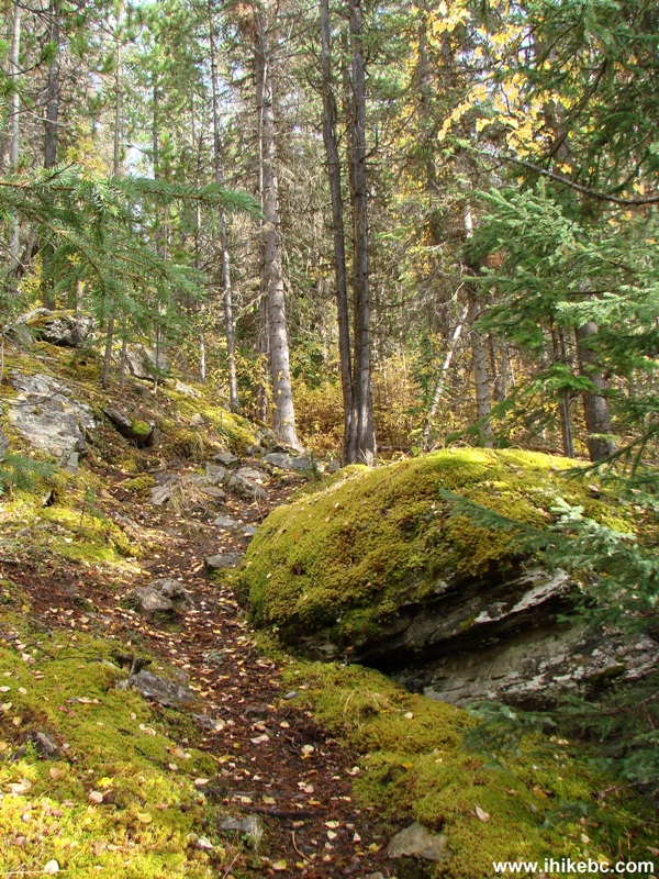
Canty Lake Trail off Parsnip West Forest Service Road - BC Hiking Canada
15. After the 2.0 km mark there is a dangerous hole in the middle of the trail. The hole is partially covered by grass, and is sure to cause a serious injury to an unsuspecting hiker. The hole is located behind this fallen tree.
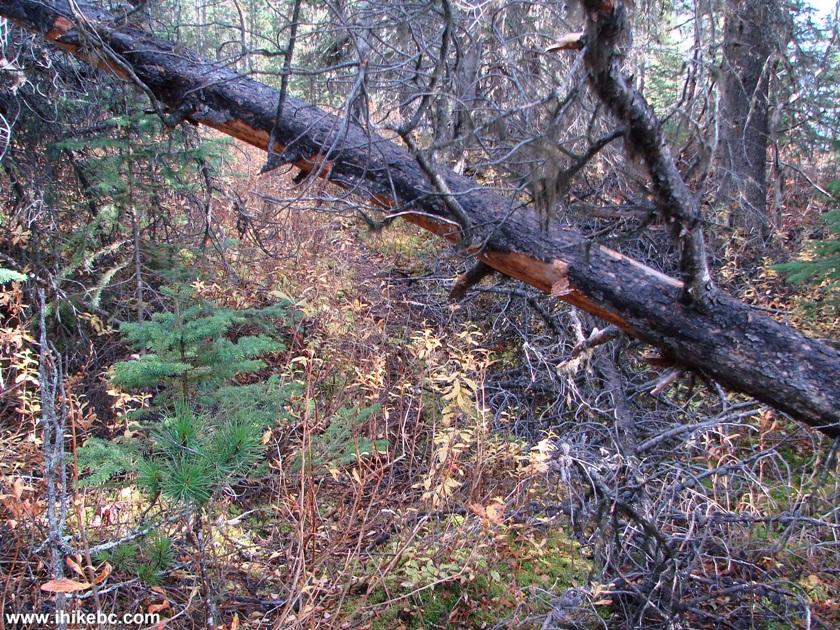
Canty Lake Trail British Columbia
16. Here is that hole.
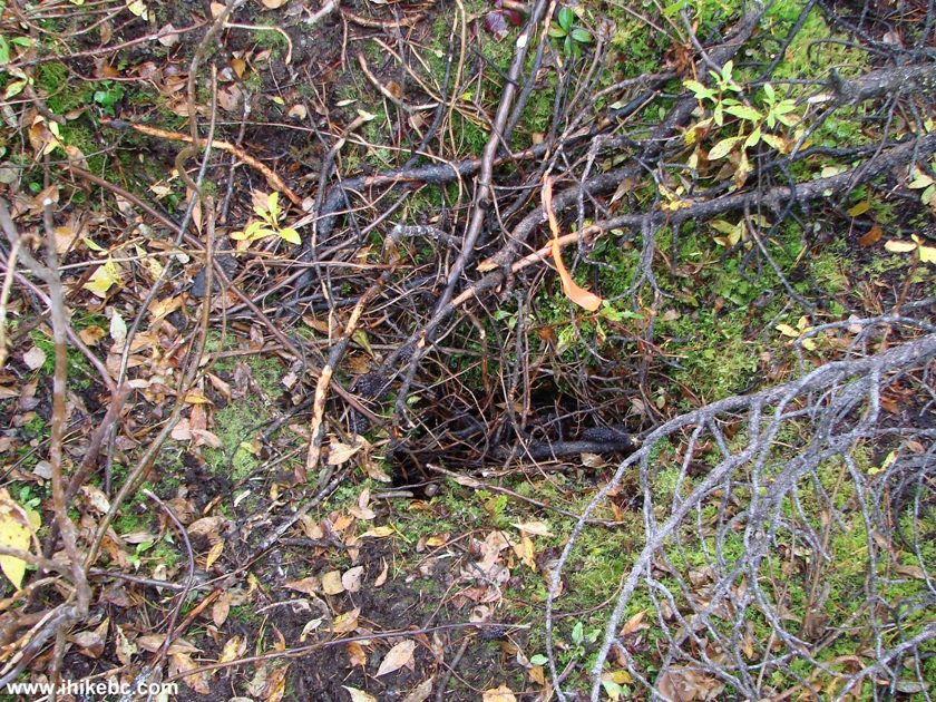
Hole in the Ground Canty Lake Trail
17. Less than 3 km after the start of the trail, Canty Lake Recreation Site is straight ahead.
Canty Lake Trail by Canty Lake recreation site - British Columbia Hiking
18. The 3 km mark arrives shortly.
Canty Lake recreation site Near Mackenzie British Columbia Canada
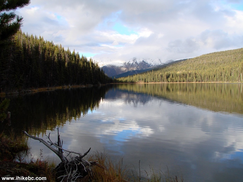
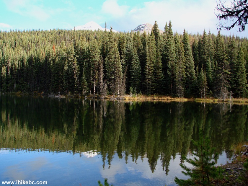
19. Hike just a bit further, and here is Canty Lake. Coordinates: N 55⁰57.233' W 123⁰42.725'. Elevation: 1,328 meters (571 meters elevation gain from the start of the trail, for an average grade of 19%).
Canty Lake BC Canada
20. The close-up of the mountains at the end of the lake.
Mountains by Canty Lake BC Canada
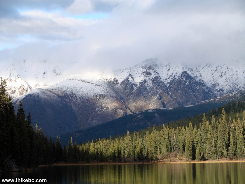
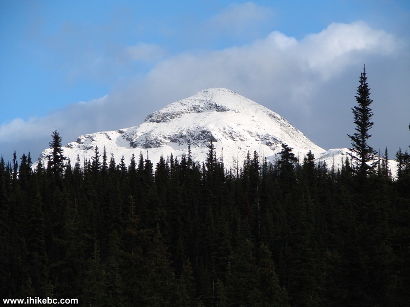
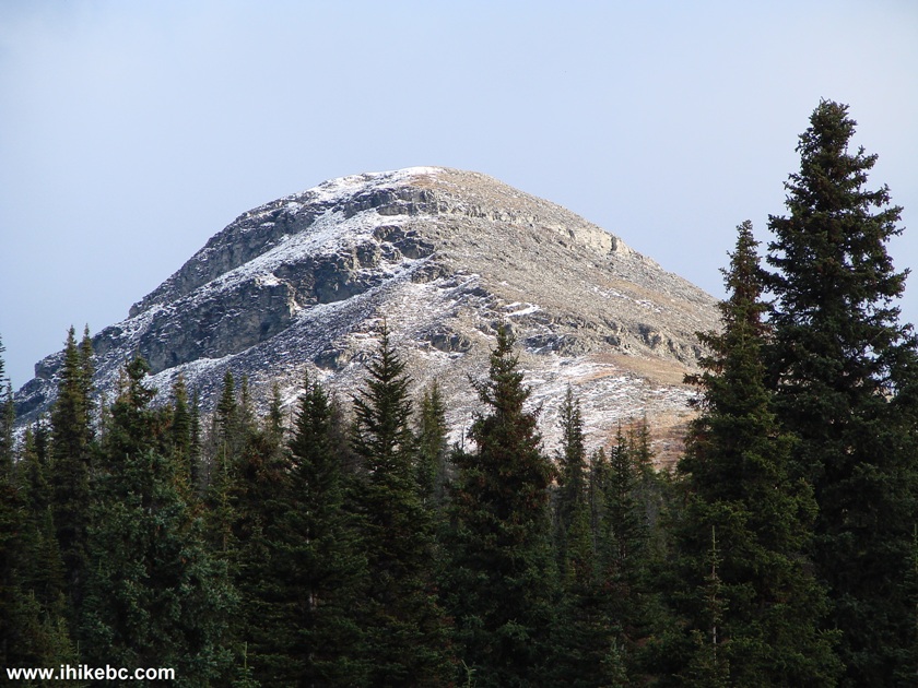
21. There are also two mountain peaks on the right side of the lake.
Canty Lake Near Mackenzie BC Canada
22. The first peak.
23. The second.
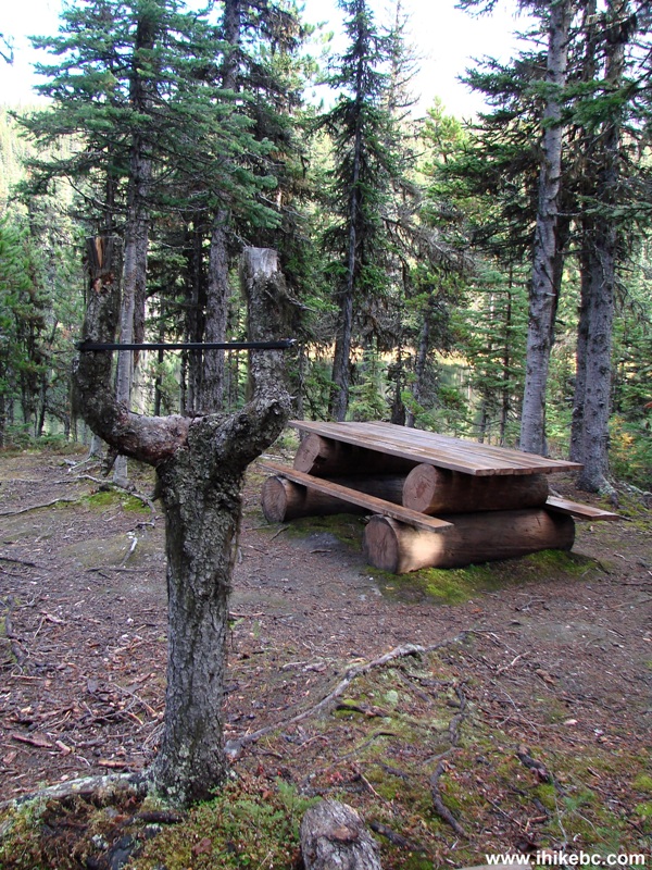
24. The recreation site has two tables, separated by about 30 meters, and a sling shot (pictured below). A pit toilet is there too, a but further into the woods. Be careful when using a bench at the table closest to the lake - one end of the bench is not nailed down, and you may easily fall off that bench.
Canty Lake recreation site BC Canada
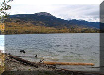
25. The view of Williston Lake on the way back.
Williston Lake British Columbia Canada
Canty Lake Trail is fairly short, and leads to a picturesque recreation site. If you are in the Mackenzie area, this is certainly a good trail to hike. Just watch out for that hole in the ground and the broken bench.


|
 |
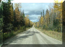
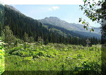
Other Trips in Mackenzie BC Area:
|
|
|
|
|
|
|

![]()
![]()
![]()
ihikebc.com Trip 097 - Canty Lake Trail Hike (near Mackenzie BC)