![]()
![]()
![]()

Trip 034 - March 2, 2011 (Wednesday)
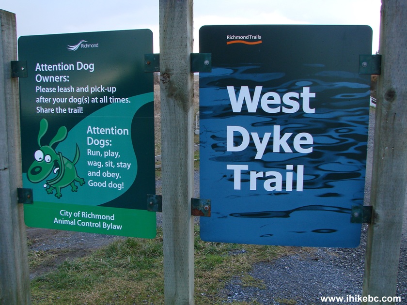
West Dyke Trail
Richmond, BC
From River Road Trailhead to Steveston (about 6 km)
Distance From Vancouver: 15 minutes.
Located at the Western end of River Road.
Liked: Ocean vistas, various birds, well maintained trail.
Of note: This trail is not a loop, it could be very windy, there is virtually no tree cover (have sun protection).
Vancouver, Coast & Mountains Backroad Mapbook (2010 edition) Coordinates: Page 1 (Vancouver) B4-B5.
Related Website: West Dyke Trail - City of Richmond Official Site.
Other Trips in Richmond Area: Gulf of Georgia Cannery National Historic Site, Iona Beach Regional Park.
Follow @ihikebc Tweet
West Dyke Trail runs for about 6 kilometers along the edge of the ocean in the town of Richmond, BC. The trail is very close to residential neighbourhoods, making it popular with walkers, joggers, bicycle riders, and dog owners. There are many birds you can see along the trail, from ducks, to herons, to, maybe, even a hawk. It is a very flat gravel trail, suitable for people of all ages, as well as for wheelchair riders.
Parking is available at the end of River Road in several small pockets. At that end of the trail you can also watch airplanes taking off from Vancouver International Airport. Once you reach the South end of the West Dyke Trail in Steveston, you can either turn around and walk the same way back, or continue on the trail along Steveston. You can also walk back on First Avenue, running parallel to the trail. A map of Richmond would be very helpful in getting to the trail, as well as indicating access points to the trail from other Richmond streets (such as Williams and Blundell).
Please, note, that in the 5th edition (published in 2002) of "109 Walks in Southwestern British Columbia" by Mary and David Macaree, this trail is part of "Lulu Island Dykes" trail, which also includes a substantial path along River Road.
0. March of 2012 addition - the map of the area, courtesy of the City of Richmond. West Dyke Trail is on the left side (yellow box), and South Dyke trail is at the bottom (red box).
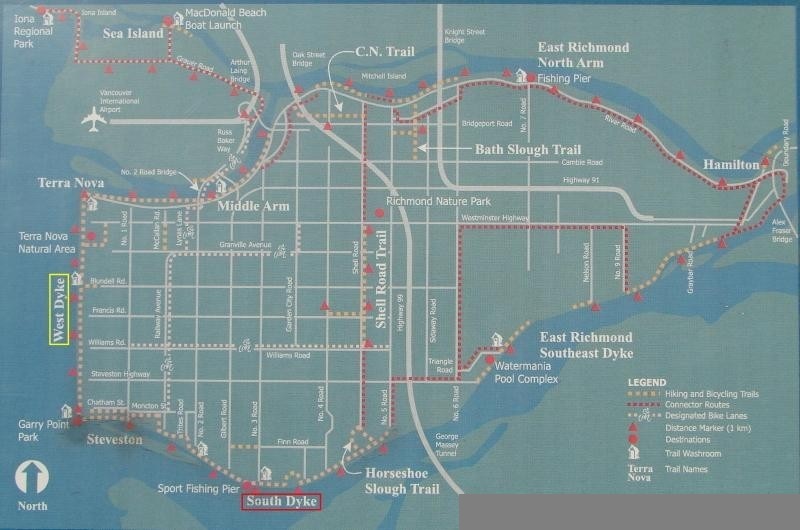
Richmond BC Map
1. We are westbound on River Road en route to West Dyke Trail, and are passing by Richmond Olympic Oval.
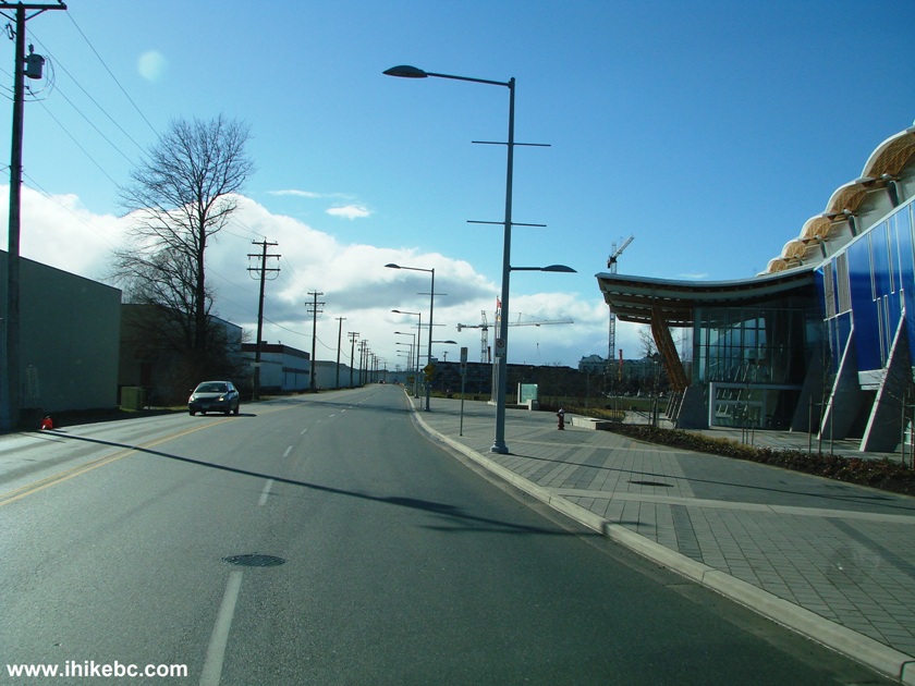
River Road near Richmond Olympic Oval Richmond BC Canada
2. The west end of River Road. Turn right after the stop sign.
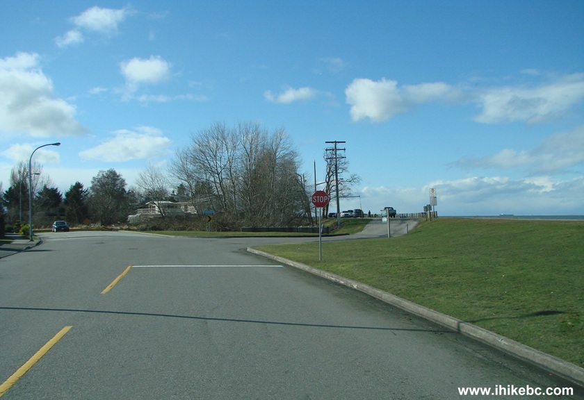
Photo of River Road city of Richmond BC Canada
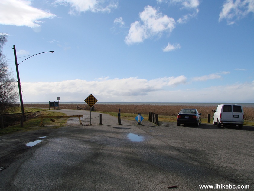
3. The trailhead is at the end of the road, which goes for another 500 metres or so after the stop sign. Several small parking lots are on the right side along this road.
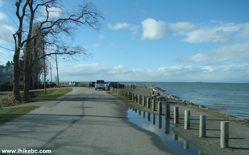
Approaching West Dyke Trail Richmond BC
4. A beautiful heron was just standing there, enjoying the sun.
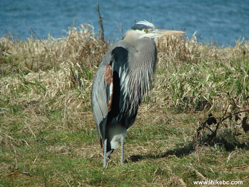
Blue Heron in Richmond BC
5. Many people drive here to look at the planes taking off from Vancouver International Airport across the river.
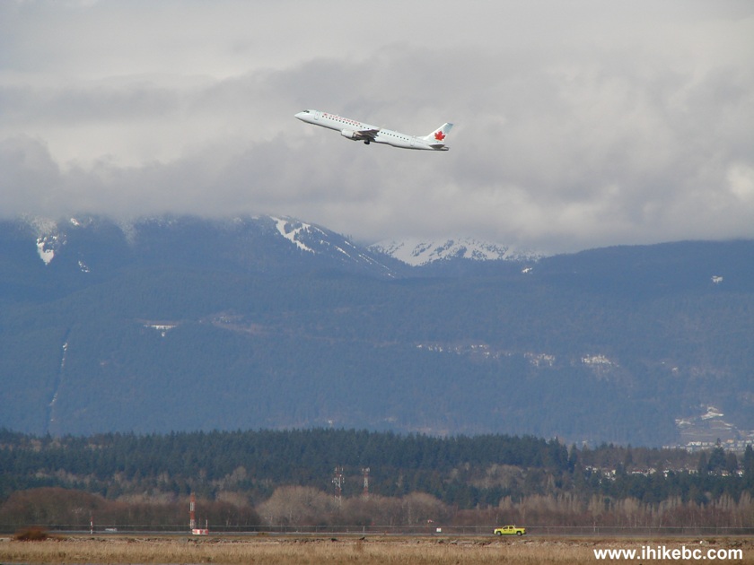
Air Canada taking off from YVR (Vancouver International Airport)
6. We are at the end of the road. West Dyke Trail begins right after those barriers.
Near the beginning of West Dyke Trail Richmond BC Canada
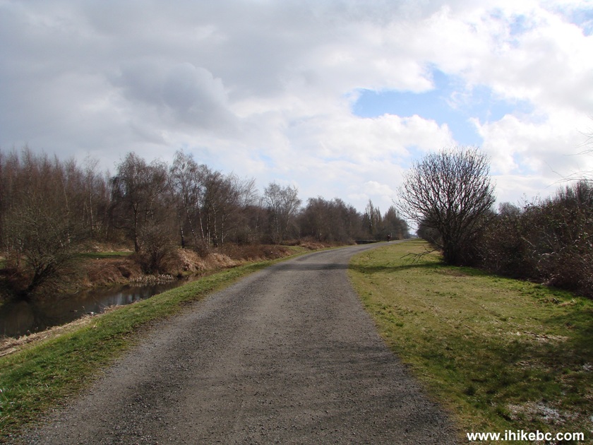
7. This is pretty much what the entire trail looks like - flat and made of gravel. The ocean is to the right. And, to the left, there are some woods at first, then a golf course, and, then, houses.
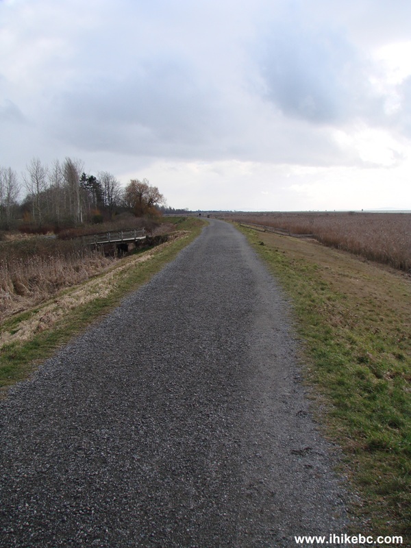
West Dyke Trail - Hiking in Richmond British Columbia
8. This is the only more or less substantial wooded area you would pass by. But the trees are too small, anyway. Have sun protection ready, if it is a sunny day.
Gravel path of West Dyke Trail - Richmond Hiking in British Columbia
Canada
9. An interesting view to our left.
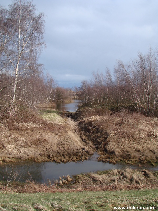
View from West Dyke Trail in Richmond BC
10. At about the two kilometer mark, we have reached Blundell Road trail access point. Washrooms are available at this location.
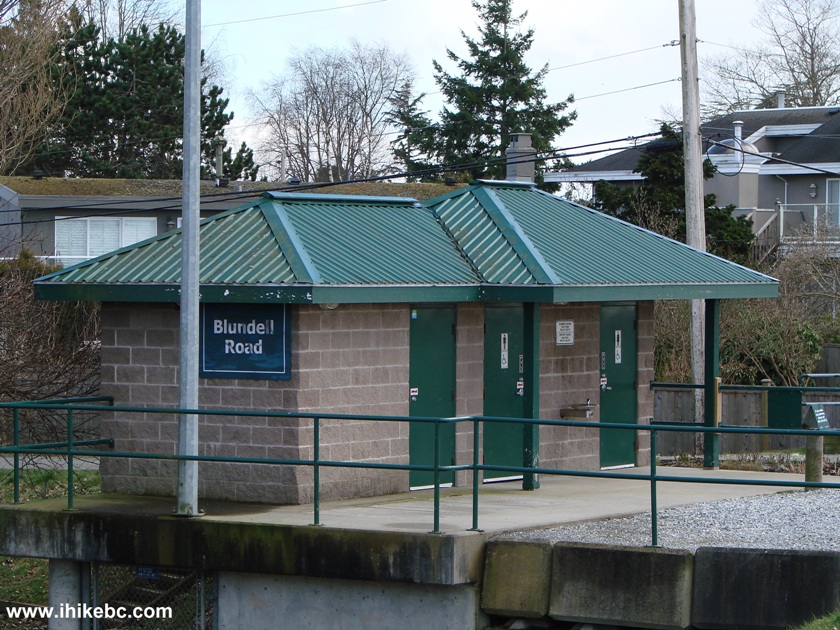
Picture of
Blundell Road Washrooms on West Dyke Trail in Richmond BC Canada
11. Meanwhile, on the right side, we spotted another heron. Beyond the heron, standing in the ocean, is a strange structure of which there were a few.
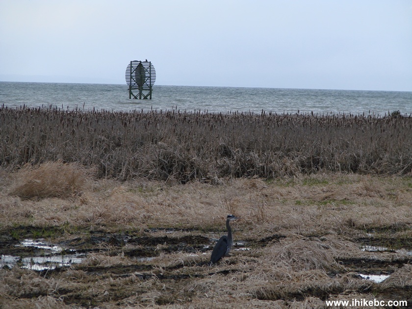
Heron seen from West Dyke Trail in Richmond BC
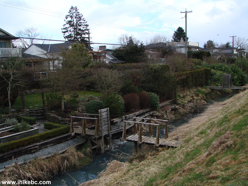
12. As for the left side of the trail, after you pass the golf course, the houses start to appear. There is a small canal between the trail and the houses. To cross the canal and reach the trail, many house owners have small bridges, where they usually put a gate and a "private property sign." But one house owner went the medieval route and simply lifted the middle part of the bridge. Very crafty!
Canal on the left side of Richmond's West Dyke Trail
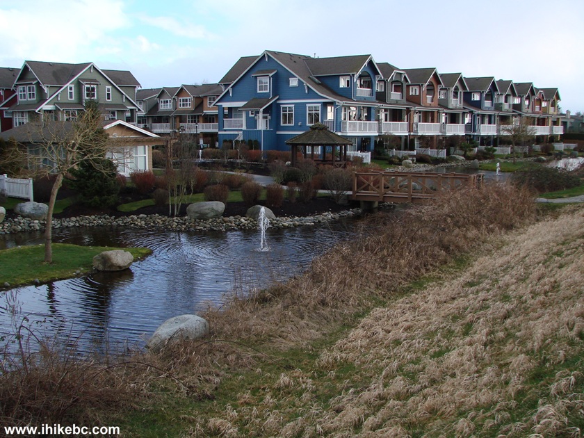
13. There is also a very well-landscaped multi-unit dwelling further along the left side of the trail.
Multi-unit housing on the left side of West Dyke Trail in Richmond BC
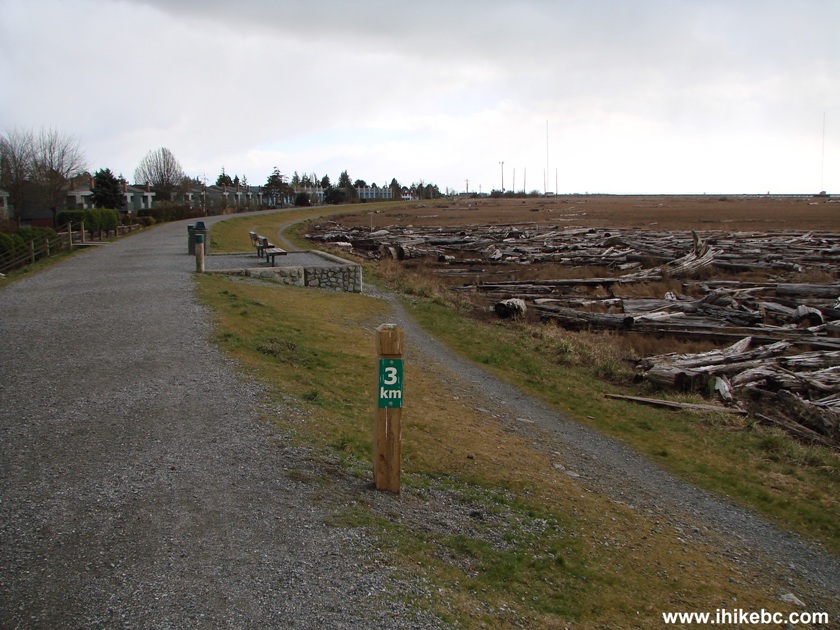
14. At the 3 km mark. The trail length from River Road to Steveston is about 6 kilometers.
Richmond Hiking - West Dyke Trail in British Columbia Canada
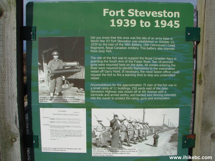
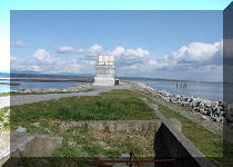
15. Also along the trail there is a stand informing that, between 1939 and 1945, a Fort Steveston artillery unit was stationed in this area.
Fort Steveston information stand on West Dyke Trail Richmond BC Canada
16. Closer to the end of West Dyke Trail, a pleasant-looking marshy area to the right. There is a bench there to sit and enjoy the view.
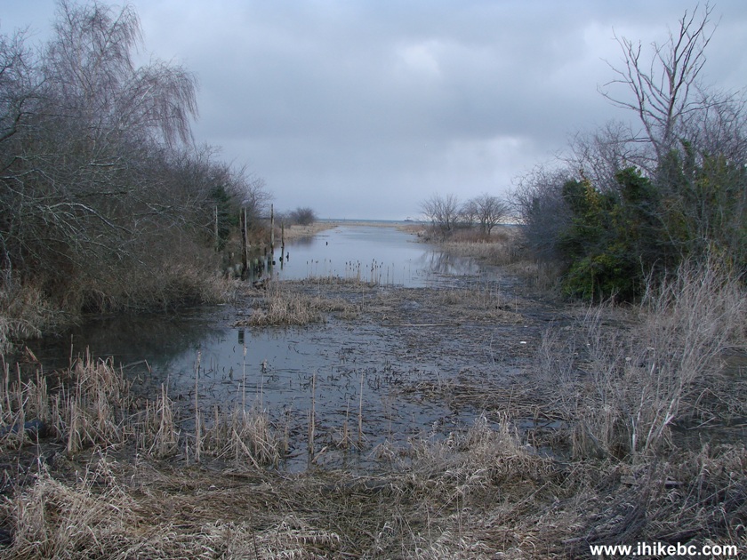
A view off West Dyke Trail in Richmond BC
17. Steveston area of Richmond is located at the South end of West Dyke Trail, very close to the intersection of Seventh Avenue and Chatham Street. That's it for West Dyke Trail. A pleasant walk/hike for sure.
At the South entrance to West Dyke Trail
18. The weather became stormy very quickly, allowing for this interesting shot.
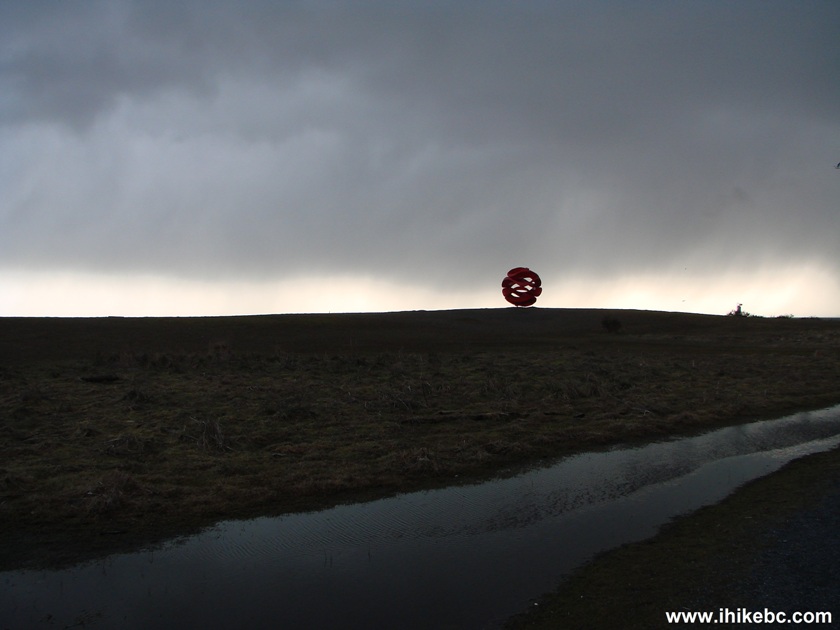
Gloomy Weather in the Steveston Area of Richmond BC
West Dyke Trail is a pleasant walk/hike and is certainly recommended.


|
 |
![]()
![]()
![]()
Follow @ihikebc Tweet
ihikebc.com Trip 034 - West Dyke Trail Hike (Richmond BC)