
Trip 016 - March 22, 2010 (Monday)
Mount Lincoln Trail Hike
Yale BC
Distance From Vancouver:
Liked:
Several fine natural views.Of note:
Very steep and fairly dangerous trail. Hiking poles and boots, as well as leather gloves, are highly recommended. There was a constant hum from Highway 1 for most of the trail, plus very loud train whistles.Vancouver, Coast & Mountains Backroad Mapbook (2010 edition) Coordinates:
Page 15 (Hope) F2.103 Hikes in Southwestern British Columbia (2008 edition):
hike #83.Follow @ihikebc Tweet
Mount Lincoln Trail in Yale BC is short, but challenging. It is very steep all the way to the top, and four ropes are provided along the way to help through the most difficult and dangerous parts. The path is often rocky, and, when the rocks are wet, the fun increases exponentially. Without hiking poles and leather gloves this hike would likely result in some injuries. The trail is picturesque, and the views are good, though should be better in sunny weather. Take plenty of water, as you would be sweating a lot.
Mount Lincoln Trail is not marked, but is easy to follow. There are ribbons closer to the top, so that you know which way to go. And there is a sign right by Highway 1 to show the trail start. The only confusion can happen right before the first rope, as the main trail (to the right) is barely visible, while a side trail (to the left) leading to nowhere is much more prominent. So, if you have not reached the first rope yet and got lost, retrace your steps and see if there is a right turn somewhere.
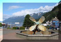
1. Yale BC is our host town today.
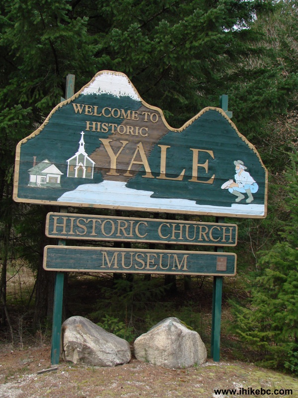
Yale British Columbia Canada
2. Mount Lincoln is waiting to be hiked.
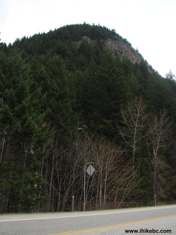
Mount Lincoln Yale BC
3. Finding the trail is fairly easy. Once you enter Yale, look for the RACE TRAC gas station on the right side. Several hundred meters past the gas
station, there is a parking lot next to the
rail track (you can see the lot on the right side, as well as the rail
crossing). Park at that lot. See the raised highway closure gates
straight ahead? The trail entrance is on the left side between the
highway closure gate and 70 km/h speed limit sign beyond it. If you have
reached Yale tunnel a few hundred meters later, you've gone too far.
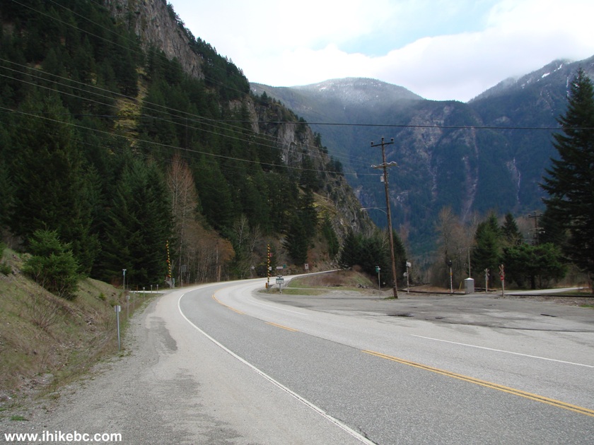
BC Highway 1 in Yale British Columbia Canada
4. The trail entrance is marked, though the trail itself can be hard to
see at first.
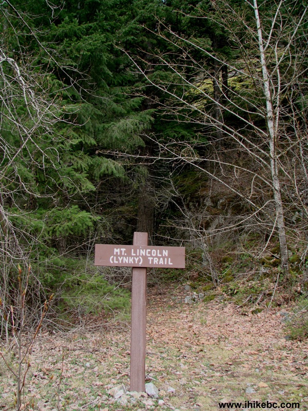
Mount Lincoln (Lynky) Trail Entrance Yale British Columbia Canada
5. The Mount Lincoln Trail starts steep, and stays steep.

BC Hiking -
Mount Lincoln Trail Yale British Columbia Canada
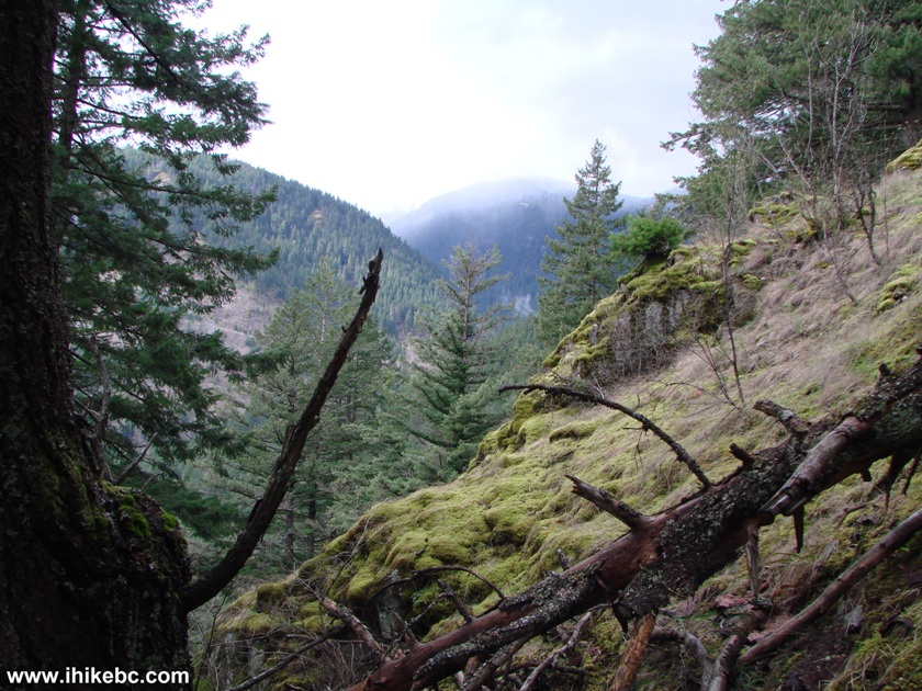
6. Good views help pass time while catching your breath.
Mount Lincoln Trail Yale BC Canada - Hiking in BC
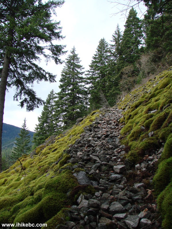
7. The path turns rocky at some point.
Mount Lincoln (Lynky) Trail Yale - Hiking in British Columbia Canada
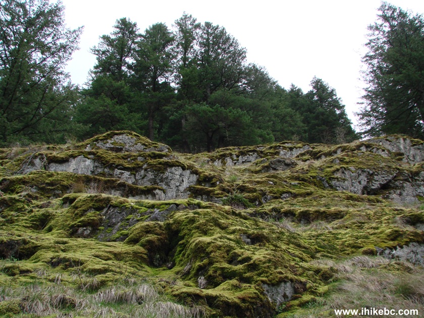
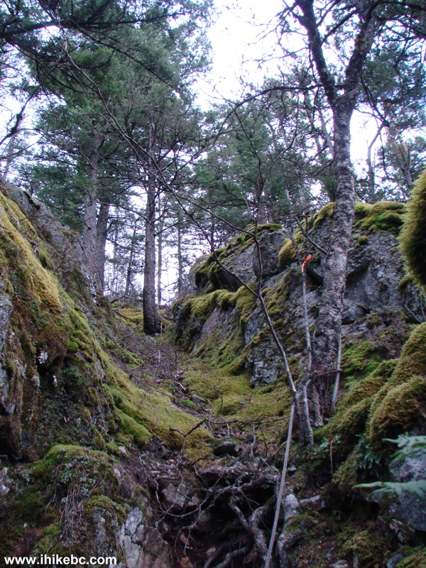
8. Mount Lincoln Trail is adorned with lush moss in several locations. The
path is seen on the right here.
Hiking in BC -
Mount Lincoln Trail Yale BC
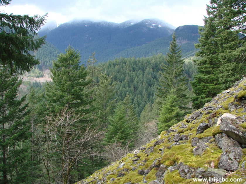
9. Catching breath is hard when the views are so breathtaking :)
View from Mount Lincoln Yale British Columbia Canada
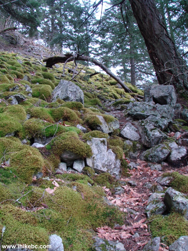
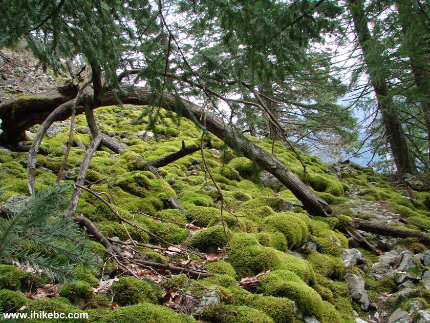
10. The rocks, the trees, the moss.
Mount Lincoln Trail - Yale BC Hiking
11. Another fine view.
View from Mount Lincoln Trail Yale British Columbia Canada
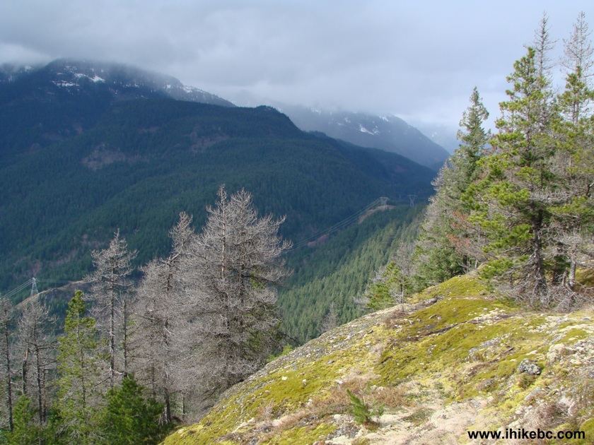
12. Here is the view of Yale and Fraser River, as well as Highway 1.
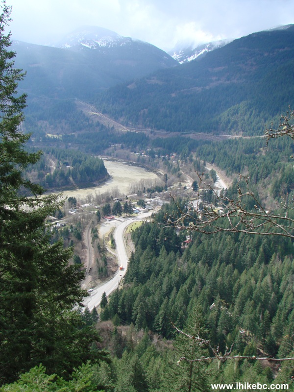
Fraser River and TransCanada Highway 1 seen from Mount Lincoln Yale BC
13. The ropes come handy. This is the third one, if we recall correctly.
Here you need to walk to the left of the rope, holding the rope with
your right hand.
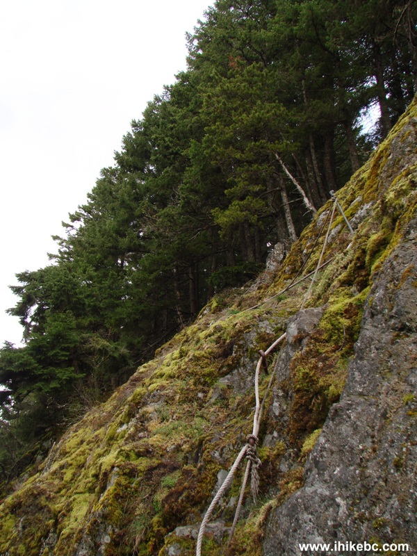
Rope on Mount Lincoln Trail Yale British Columbia Canada
14. And this we believe to be the last rope, shortly before the summit.
Mount Lincoln Trail - Hiking in Yale BC Area
15. The summit of Mount Lincoln.
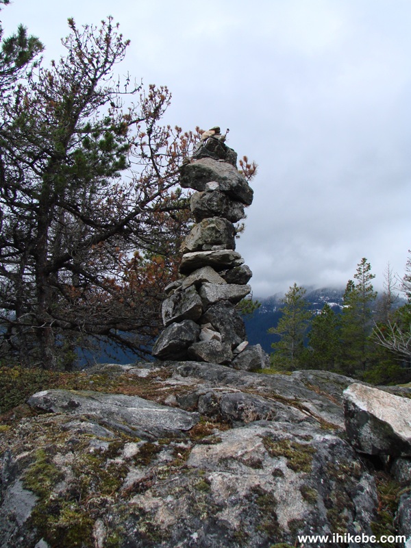
The summit of Mount Lincoln (Lynky) Yale British Columbia Canada
16. Good views from the top.
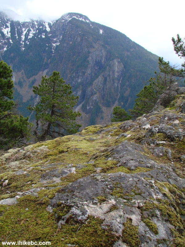
Photo of a view from the top of Mount Lincoln Yale British Columbia
Canada
17. One more.
View from the top of Mount Lynky Yale BC Canada
Trip time to the top - 1 hour 45 minutes (with several rest stops and
taking photos). Trip time to the bottom - 1 hour 30 minutes (including a
slip-and-fall). Long live leather gloves protecting the skin from sharp
stones!
ihikebc.com Trip 016 - Mount
Lincoln Trail Hike
(Yale BC)


![]()
![]()
![]()
![]()