![]()
![]()
![]()

Trip 305 - May 6-11, 2024 (Monday - Saturday)
Salt Spring Island Visit
British Columbia, Canada
Page 3 of 5
Liked: The ferry ride to and from Salt Spring Island, several fine hikes, recreation centre with available showers, picturesque waterfront walk in "downtown Salt Spring Island" - Ganges area.
Of Note:
As this is the largest Southern Gulf Island, Salt Spring is home to about 10,000 people, and it shows. You run into people way more often than on Galiano, Mayne, Pender or Saturna islands. Traffic, while laughable by Lower Mainland standards, is substantial compared to other Southern Gulf Islands. The roads on Salt Spring Island are frequently narrow, winding and without shoulders - watch for pedestrians, cyclists and wildlife. Please, walk facing the traffic, especially if there is no shoulder. Salt Spring Island is rather "liberal" even by West Coast standards. This can be a plus or a minus, depending on your perspective.Vancouver Island, Victoria & Gulf Islands Backroad Mapbook (9th edition) Trailhead Coordinates: Page 11 (Duncan) C-G 1-4.
Follow @ihikebc TweetWe have visited Salt Spring Island, located not far from Victoria BC (via a 35 minute ferry ride from Swartz Bay Terminal to Fulford Harbour Terminal), from May 6th to 11th, 2024. A great window of sun between two long stretches of rainy weather allowed for a substantial exploration and several hikes. This main Salt Spring Island trip report will describe our ferry rides, as well as trips which do not have trip reports of their own. Our visit went as follows:
May 6th (Monday) - ferry ride from Swartz Bay to Fulford Harbour, then hiked Coastline Trail in Rucker Provincial Park (trip report).
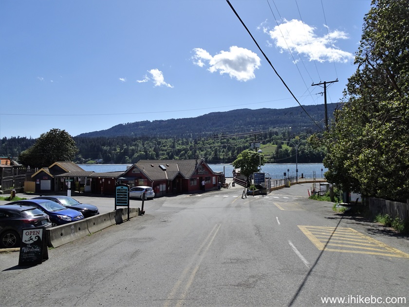
May 7th (Tuesday) - visit to Ganges ("downtown" Salt Spring Island), and checked out several shore access points elsewhere.
May 8th (Wednesday) - hike to Mount Maxwell observation area (trip report), then hike Reginald Hill and Fulford Harbour trails.
May 9th (Thursday) - Mount Erskine hike (trip report).
May 10th (Friday) - visits to Musgrave Landing Public Dock and Burgoyne Bay Provincial Park.
May 11th (Saturday) - ferry ride from Fulford Harbour to Swartz Bay.
69. We then drove to Fernwood public dock pier and shore access area. Here are Google Maps directions.
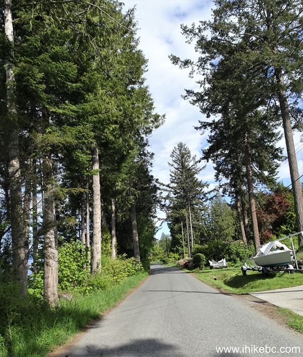
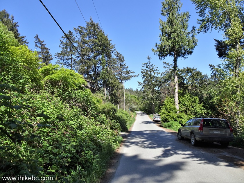
70. Here we are driving on North Beach Road towards Fernwood public dock.
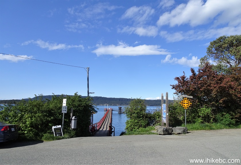
71. And this is Fernwood public dock, where North Beach Road becomes Walkers Hook Road at the T-Junction with Fernwood Road. Coordinates: N 48⁰54.917' W 123⁰32.001'. Elevation: 10 meters.
Here is our video of driving from Southey Point Road to Fernwood Public Dock.
72. Fernwood public dock pier.
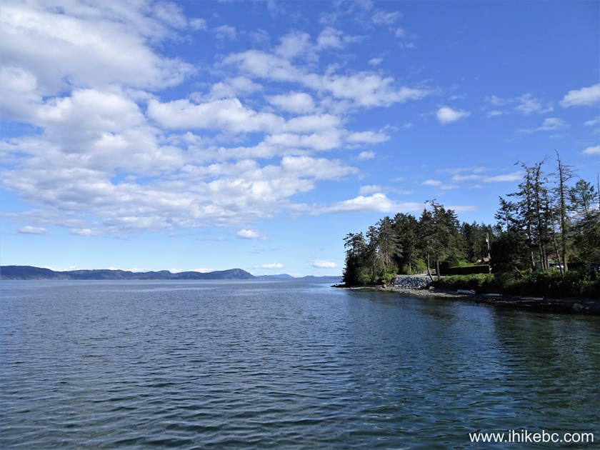
73. Looking right. Not much of a shoreline, so we didn't go there.
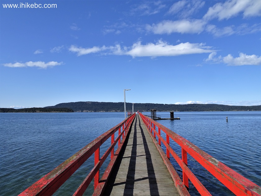
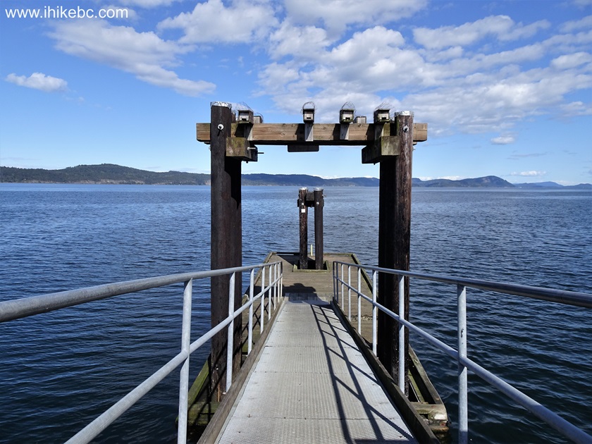
74. Approaching the end of Fernwood public dock pier.
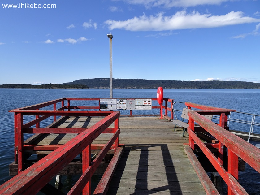
75a. Here it is.
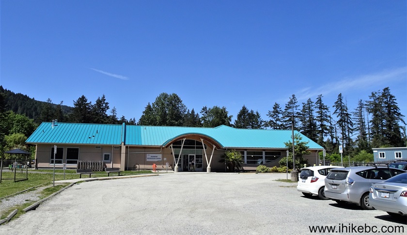
75b. After that, we drove from Fernwood public dock to Rainbow Recreation Centre (262 Rainbow Road), where less than $4 gets you a shower.
Here is our video of driving from Fernwood Public Dock to Rainbow Recreation Centre.
More ihikebc videos are on
our YouTube Channel.
May 8, 2024 (Wednesday)
76. In the morning, we hiked Rim Trail in Mount Maxwell Provincial Park (trip report is here).
77-78. After that, we drove to Reginald Hill Trail, which starts at the end of Morningside Road not far from Fulford Harbour. Here we are turning left from Fulford-Ganges Road onto Morningside Road. Reginald Hill Trail parking lot is 1.1 km away. Fulford Harbour Ferry Terminal is just to the right.

79. Morningside Road 200 meters later. It is rather narrow.
80. At 700 meters, we drive past Sunnyside Drive on the left side.
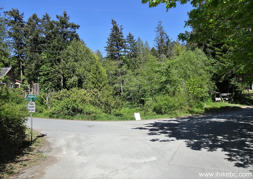
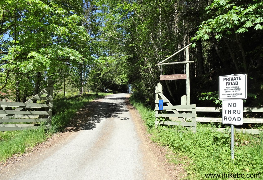
81. Morningside Road ends 1.1 km from where it begins off Fulford-Ganges Road. To the right is the parking lot for Reginald Hill Trail. To the left is Reginald Hill Road (private road).
82. The parking lot. Coordinates: N 48⁰45.959' W 123⁰26.418'. Elevation: 50 meters.

Here is our video of driving from Fulford-Ganges Road to Reginald Hill Trail parking lot.
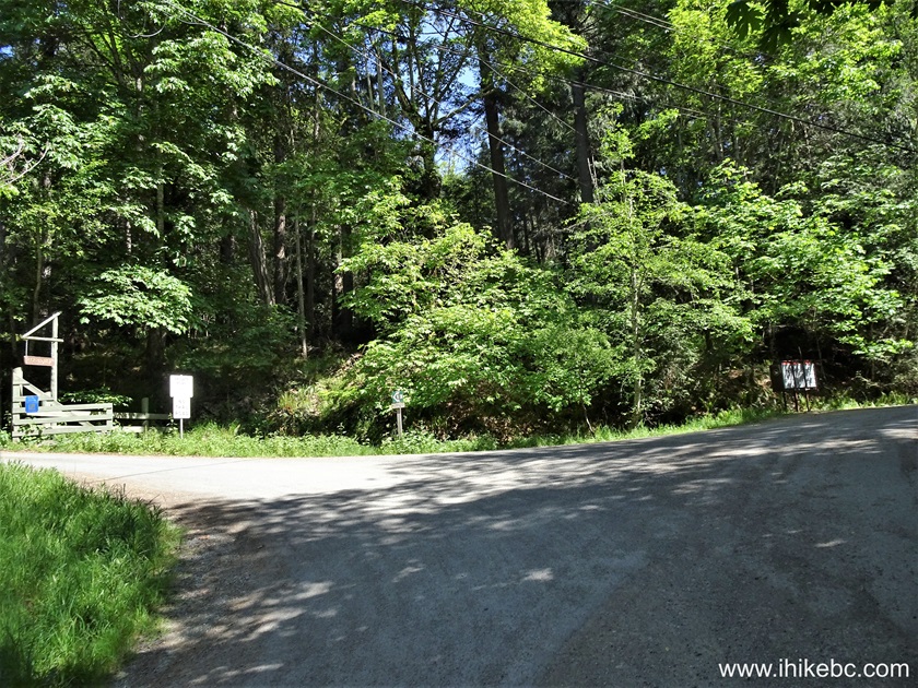
83. Reginald Hill Road. Follow it to Reginald Hill trailhead.
84. In 100 meters, turn left. Reginald Hill Road continues to the right. If we understand correctly, going further on Reginald Hill Road would lead to the second trailhead of Fulford Harbour Trail, which we cover on the next page.
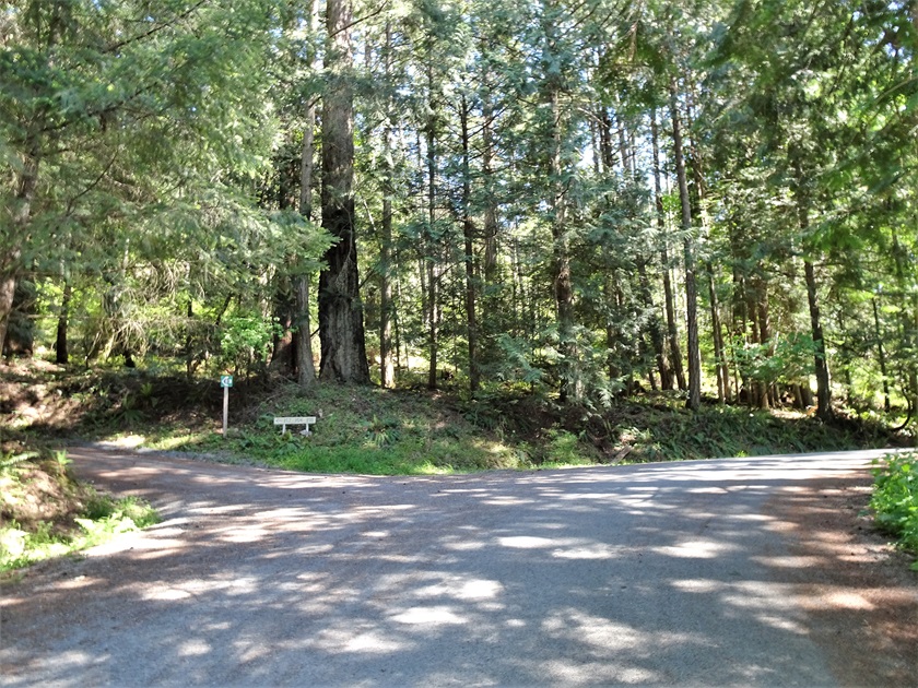
85. 50 meters later, here is Reginald Hill trailhead.

86. Here is a Google Maps location of Reginald Hill trailhead.
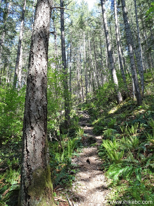
87. It's a moderately steep trail of under 1.5 km long. Hiking poles and boots are highly recommended. It took us 25 minutes to get to the top from the parking lot, and also 25 minutes to get down. At 460 meters from the parking lot here.
88. At 1.34 km, we are almost there.
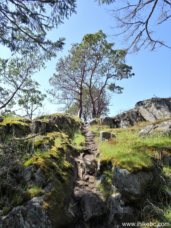
89. And here is the end of Reginald Hill Trail, 1.37 km from the parking lot, and 1.22 km from the trailhead. Coordinates: N 48⁰45.865' W 123⁰25.980'. Elevation: 205 meters (155 meters elevation gain from the parking lot for an average grade of 11%).
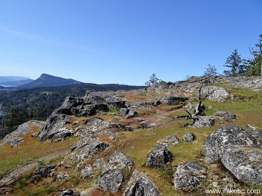
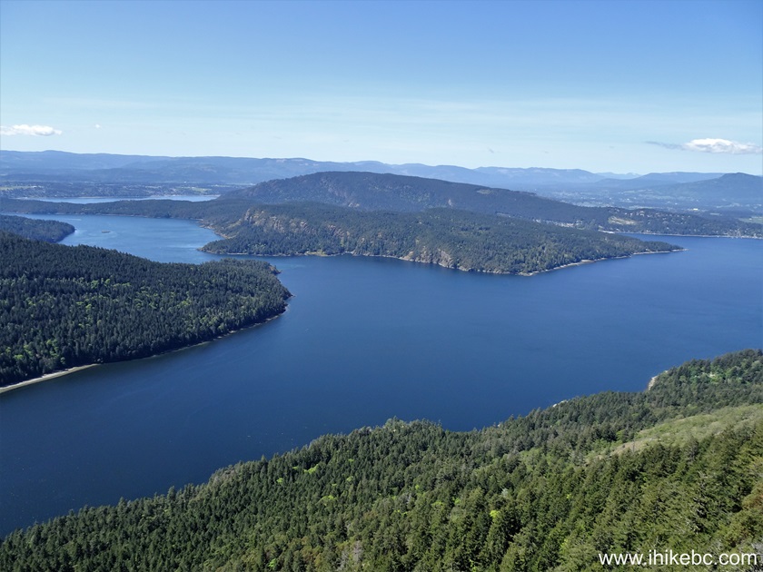
90. Fulford Harbour view from Reginald Hill. The ferry terminal is located in the center-right of the photograph.

91. Now a panorama.
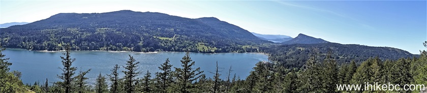
Here is our video of the views from this location.
More ihikebc videos are on our YouTube Channel.
Our Salt Spring Island trip report continues on Page 4.


|
 |
![]()
![]()
![]()
ihikebc.com Trip 305 - Salt Spring Island, BC Visit -
Page 3 of 5