![]()
![]()
![]()

Trip 251 - May 23, 2022 (Monday)
Mayne Island Visit
British Columbia, Canada
Page 1 of 2
Liked: Mount Parke Regional Park, Campbell Point Trail, Horton Bay.
Of Note: A small island with very limited services, roads have no shoulders. Traffic on the roads near the ferry terminal can be substantial.
Vancouver Island, Victoria & Gulf Islands Backroad Mapbook (9th edition) Mayne Island Coordinates: Page 11 (Saturna Island) B2.
Other Trips on Mayne Island: Halliday Ridge Trail, Campbell Point Trail.
Related Websites: Wiki - Mayne Island, Mayne Island Community Website, BC Ferries Southern Gulf Islands Schedule.
Mayne Island is one of British Columbia's Southern Gulf islands, located just to the South of Galiano Island, which we have previously explored. The visit to Mayne Island took less than a day, so we did not see everything there was to see, but saw enough to make it a very worthwhile trip.
A ferry from Tsawassen or Swartz Bay goes to Mayne Island. Also, inter-island ferries connect some Southern Gulf islands with each other. Today, we took a bicycle on a ferry heading from Galiano Island to Mayne Island, and returned the same way.
This trip report has random Mayne Island photos, and also covers Horton Bay and nearby Saint John Point Regional Park Reserve with its two short trails. Two following trips are dedicated to Halliday Ridge Trail in Mount Parke Regional Park, and Campbell Point Trail Hike.
All distances in this trip report are based on a GPS odometer and are approximate.
1. Here is a Google map of Mayne Island.
2. We were visiting Galiano Island for a few days, so this trip starts on a bicycle at Sturdies Bay Ferry Terminal on Galiano Island. Here is a ferry ticket booth.
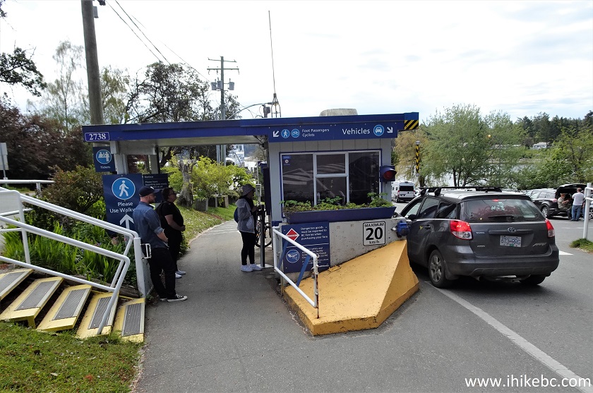
Galiano Island BC Ferry Booth
4. We are biking to board Salish Eagle, the same ferry that took us to Galiano Island from Tsawwassen. One has to walk the bicycle before entering a ferry and on the ferry itself.
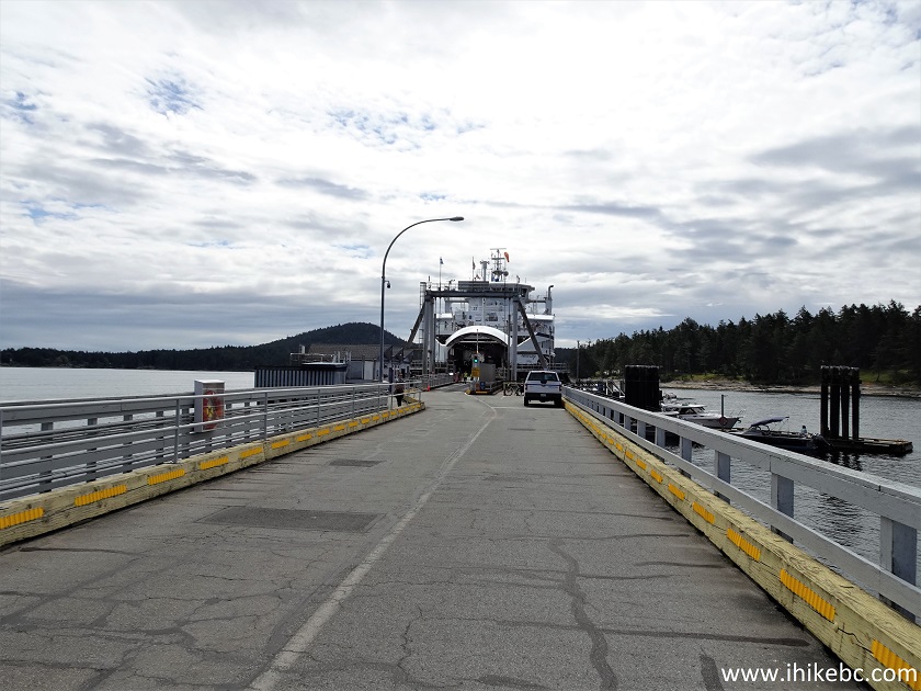
Sturdies Bay Ferry Terminal Pier - Galiano Island British Columbia
Canada
5. Good-bye, Galiano, we'll see you soon!
Leaving Galiano Island on a Ferry
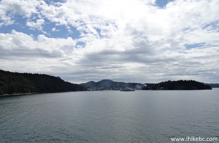
6. It's a very short ride from Galiano to Mayne, about 20 minutes or so. Here we see Galiano Island on the right, and Mayne Island on the left.
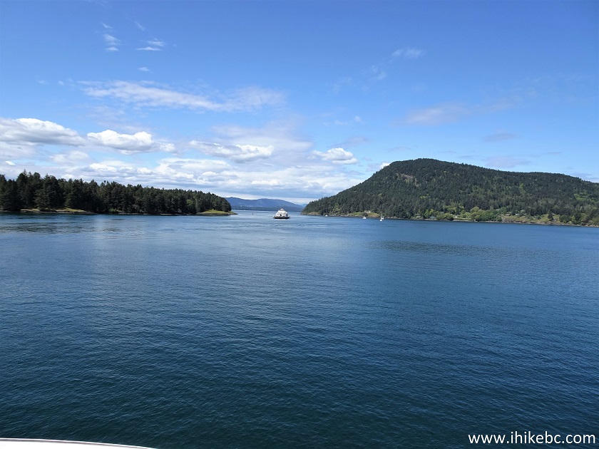
Galiano Island and Mayne Island BC
7. BC Ferry Mayne Queen passed us by. It's one of the two Southern Gulf islands inter-islands ferries, along with Queen of Cumberland.
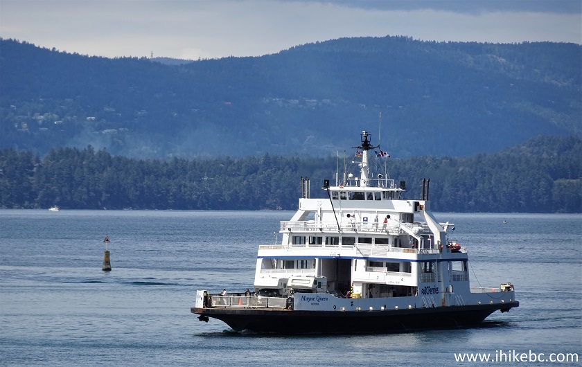
BC Ferry Mayne Queen
8. Approaching Mayne Island. The smoke was from someone's bonfire.
Mayne Island BC
9. Speaking of Queen of Cumberland.
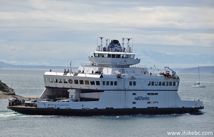
BC Ferry Queen of Cumberland
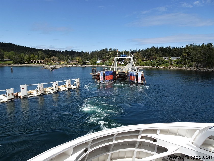
10. Here it is, Mayne Island's Village Bay BC Ferry Terminal.
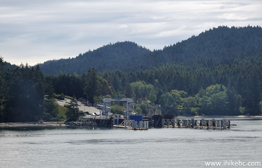
Village Bay Ferry Terminal on Mayne Island British Columbia Canada
11. Not as colourful as Galiano's, but pleasantly painted too.
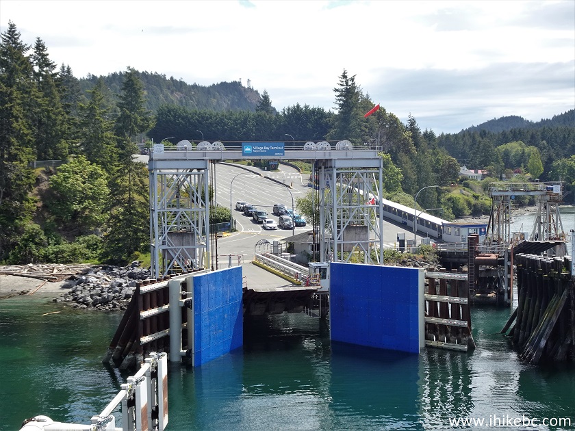
Mayne Island Village Bay Ferry Terminal
Here is our video of sailing from Galiano Island to Mayne Island.
11. Salish Eagle staff are getting ready to let us out.
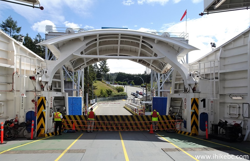
Onboard Salish Eagle BC Ferry Docked at Mayne Island
12. Salish Eagle docked at the Village Bay Terminal.
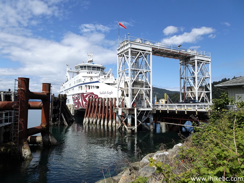
BC Ferry Salish Eagle Docked at Village Bay Ferry Terminal on Mayne Island
13. It did not take long for the first good view to appear. A fine-looking bay indeed.

Village Bay Mayne Island BC
14. We first headed to Mount Parke Regional Park (covered in the next trip report), and found a map of Mayne Island, just 40 meters from the end of the ferry terminal area, on the corner of Village Bay Road and Dalton Drive.
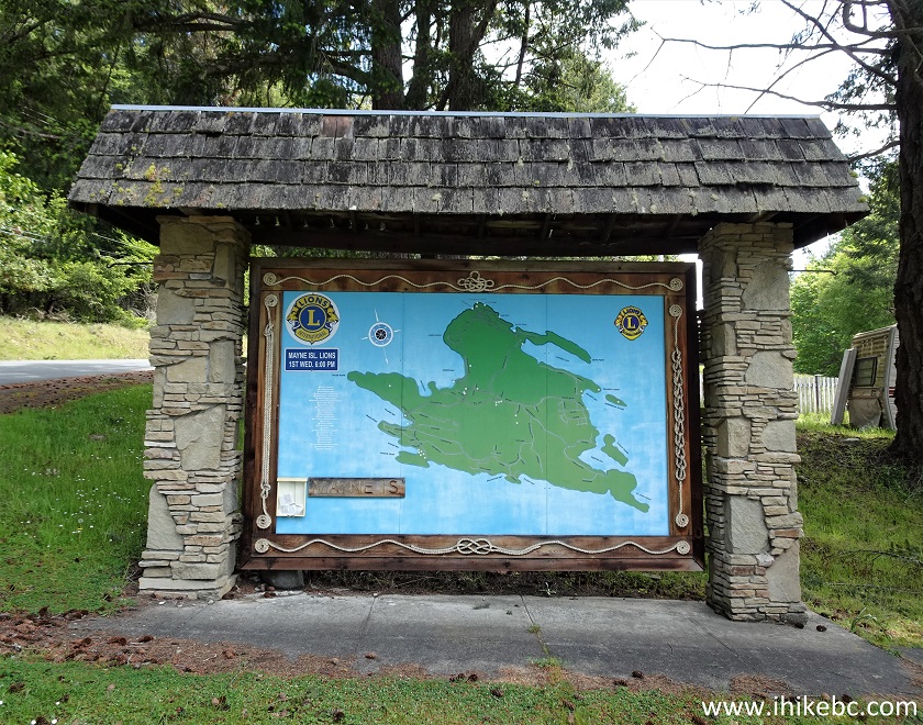
Mayne Island BC Canada
15. Here is that map of Mayne Island up close. We have indicated on the map as follows: Yellow square - Village Bay and ferry terminal. Yellow circle - Georgina Point (apparently, there is an old lighthouse there, but we didn't have time to check it out), Red Circle - Mount Parke Regional Park, Blue square - Campbell Point Trail, Red square - Saint John Point Regional Park Reserve.
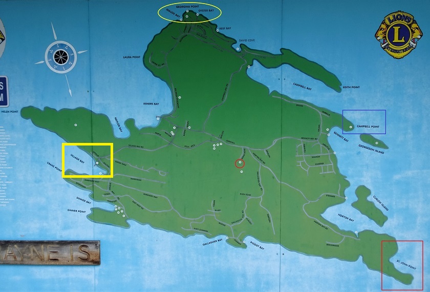
Map of Mayne Island BC
16-17. At 1.04 km from the ferry terminal, still on Village Bay Road, there are two neat painted wooden carvings of a seal and an eagle.
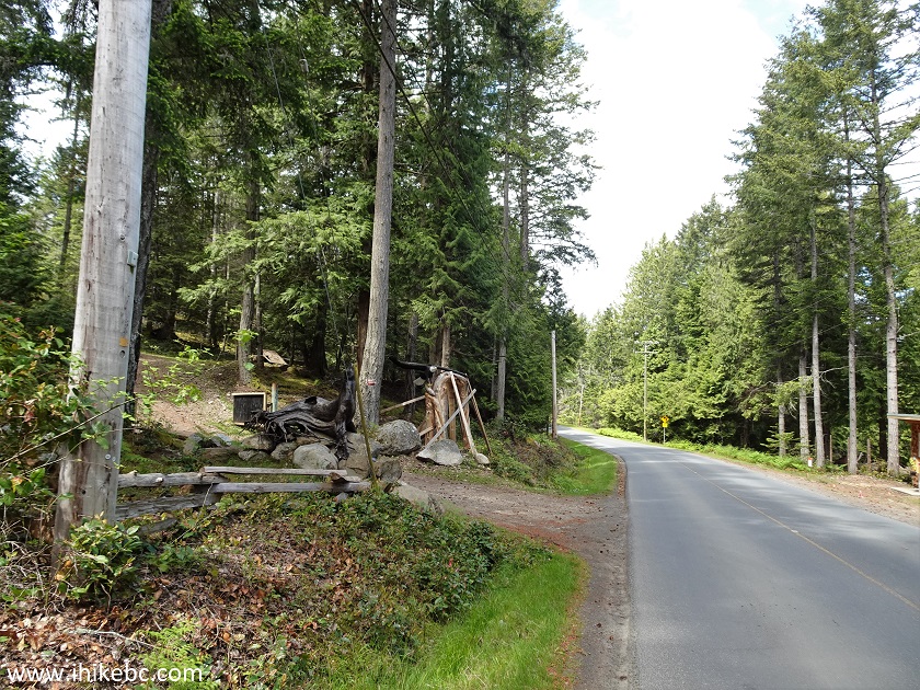
Village Bay Road Mayne Island BC
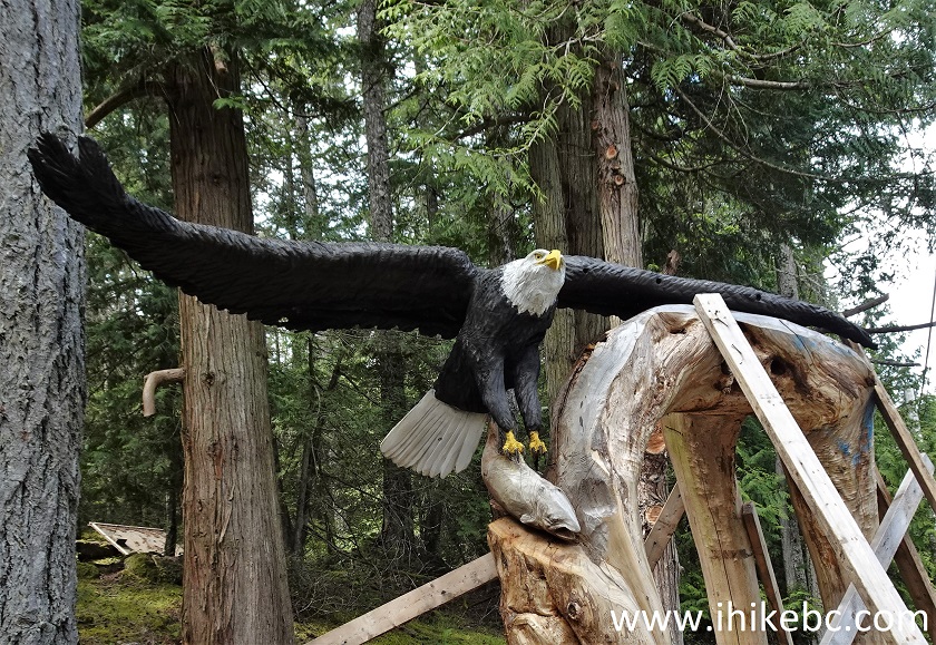
Eagle Wooden Carving Mayne Island British Columbia Canada
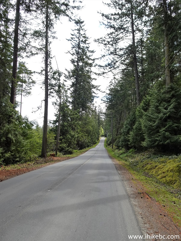
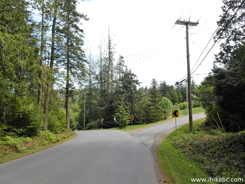
18. Village Bay Road 1.22 km from the ferry terminal. Way too many cars for such a small island were going back and forth on Village Bay Road, making for less than a serene bike ride. Perhaps, due to a stat Monday?
Mayne Island BC Village Bay Road
19. At 2.0 km from the terminal, we took a right turn to Felix Jack Road.
Village Bay Road at Felix Jack Road Maybe Island BC Canada
20. A welcoming figure on the left side just after the turn.
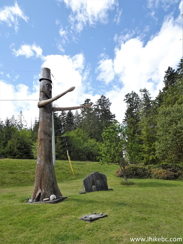
Indigenous Welcoming Figure Mayne Island BC
21. At 3.25 km, we made a right turn from Felix Jack Road onto Fernhill Road.
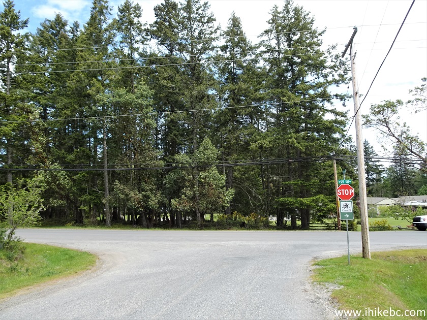
Felix Jack Road at Fernhill Road Mayne Island BC
22. At 3.75 km, a sign indicates that another right turn (onto Montrose Road) leads to Mount Parke Regional Park.
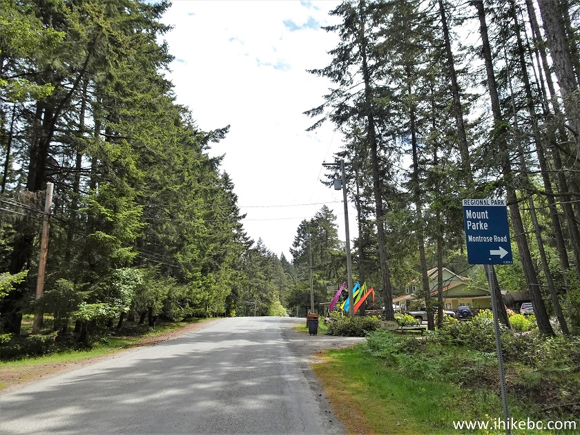
Fernhill Road near Montrose Road on Mayne Island in the Province of
British Columbia
23-24. Farm Gate store is located just past the sign seen in the photo above.
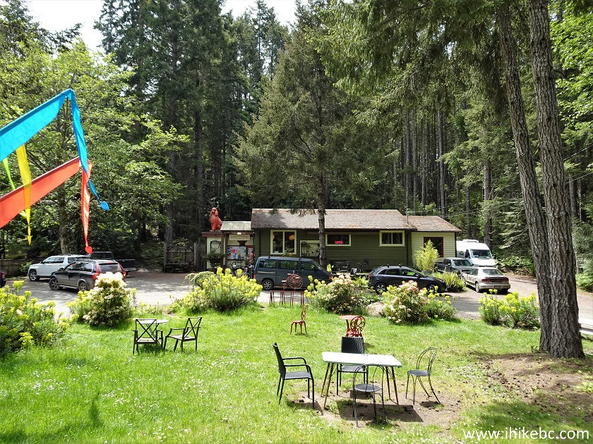
Farm Gate Store Mayne Island BC
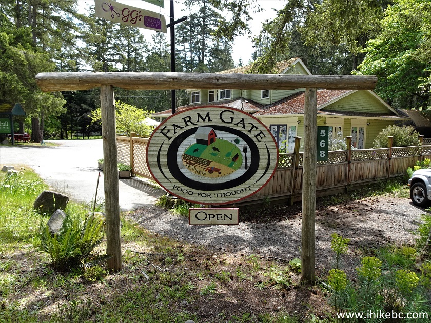
Mayne Island BC Farm Gate Food Store
25. There is no such thing on Galiano Island, but both Mayne and Pender islands have it - an occasional Car Stop, with rules in a poetic form attached.
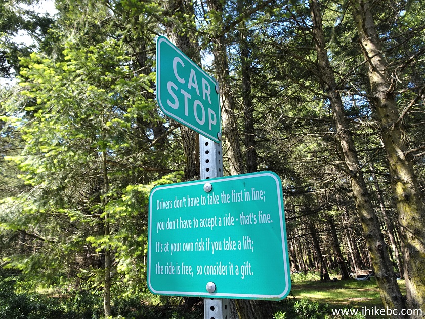
Mayne Island Car Stop
26. Someone on Mayne Island really loves their cat(s).
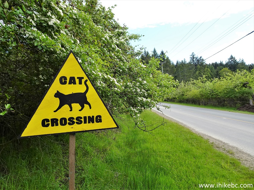
Mayne Island Cat Crossing Sign
It says "CAT crossing", but look who actually crossed!
We also found a pair of deer having a dinner on someone's lawn.
More ihikebc videos are on our YouTube Channel.
27. En route to Saint John Point Regional Park Reserve, less than 150 meters prior to its entrance, we have stumbled upon a very picturesque Horton Bay on Horton Bay Road.
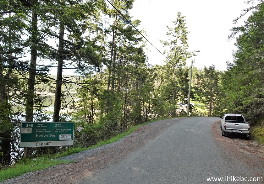
Mayne Island BC Canada
28. A view of Horton Bay Dock walkway after turning left.
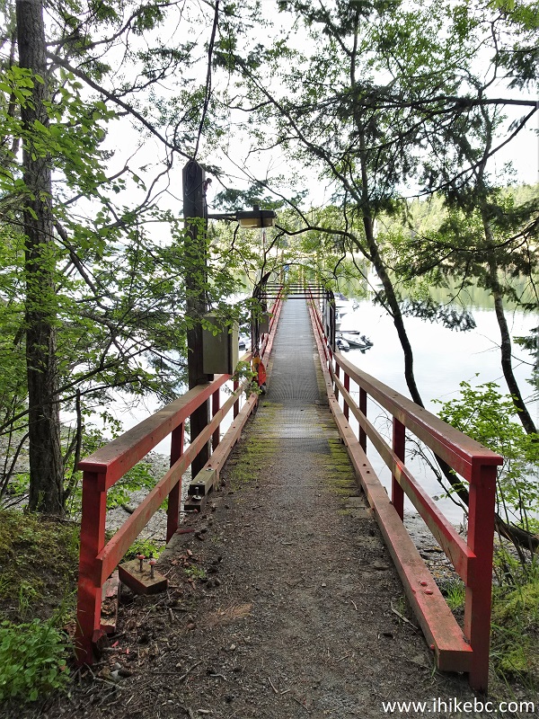
Horton Bay Dock Walkway Mayne Island British Columbia
29. A bit further.
Mayne Island Horton Bay Dock Walkway
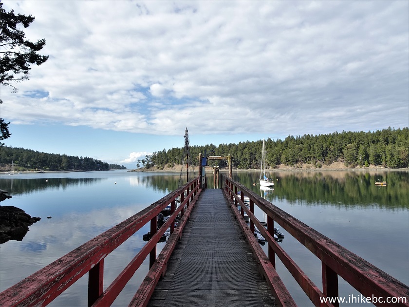
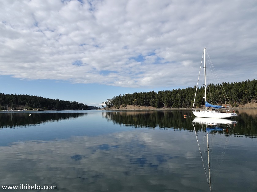
30. Horton Bay, Mayne Island.
Horton Bay, Mayne Island BC
31. Heading down to the dock.
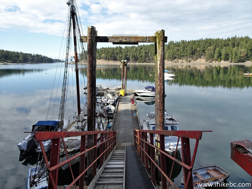
Mayne Island Horton Bay Dock
32. Horton Bay Dock.
Horton Bay Dock Mayne Island BC Canada
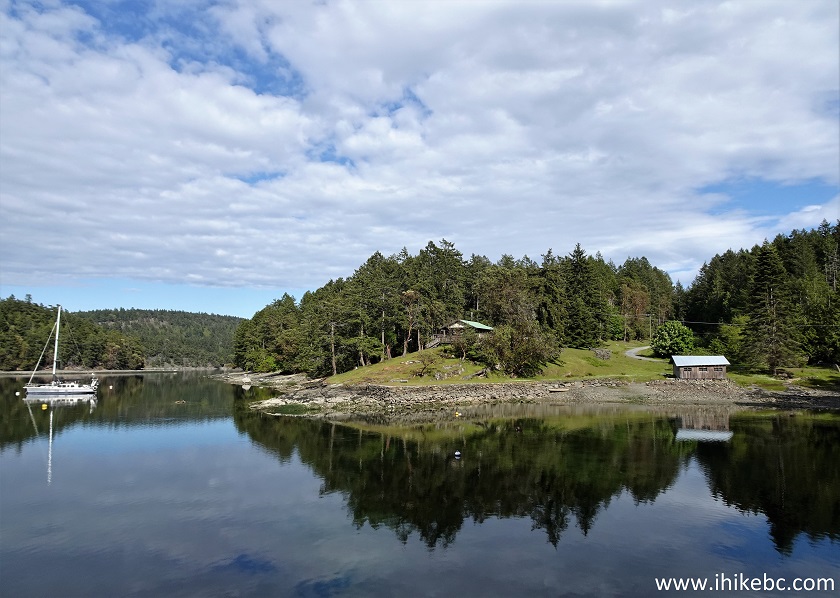
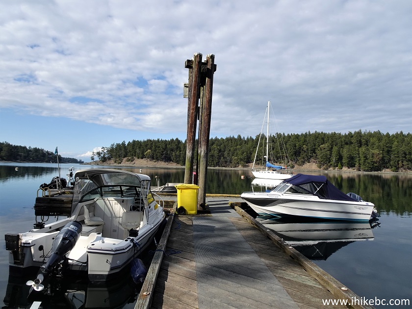
33. It's a quiet, peaceful area.
Mayne Island BC - Horton Bay
Our Mayne Island Trip Report Continues on Page 2.


|
 |
![]()
![]()
![]()
ihikebc.com Trip 251 - Mayne Island BC Visit (Page 1 of 2)