![]()
![]()
![]()

Trip 249 - May of 2022
Galiano Island Shore Access Points
Page 2 of 4
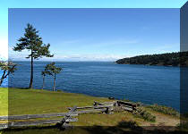
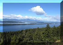
Liked: Numerous fine shore views, tidal pools, unusual sandstone formations, various marine traffic.
Of Note: Uneven and slippery ground, loose rocks and logs, some steep trails - hiking poles are recommended, and hiking boots are highly recommended.
Vancouver Island, Victoria & Gulf Islands Backroad Mapbook (9th edition) Galiano Island Coordinates: Page 20 (Galiano Island) - main map and inset.
Related Websites: Wiki - Galiano Island, Galiano Island Chamber of Commerce.
In addition to such fine hikes as Mount Galiano and Bodega Ridge, Galiano has 30+ shore access points throughout the island, which feature views from "ok" to "great". A map with all these access points can be picked up at an information booth adorned with a "Welcome to Galiano" sign and located on the right side just as you exit Sturdies Bay Ferry Terminal. As an alternative, photos of the map are provided in this trip report.
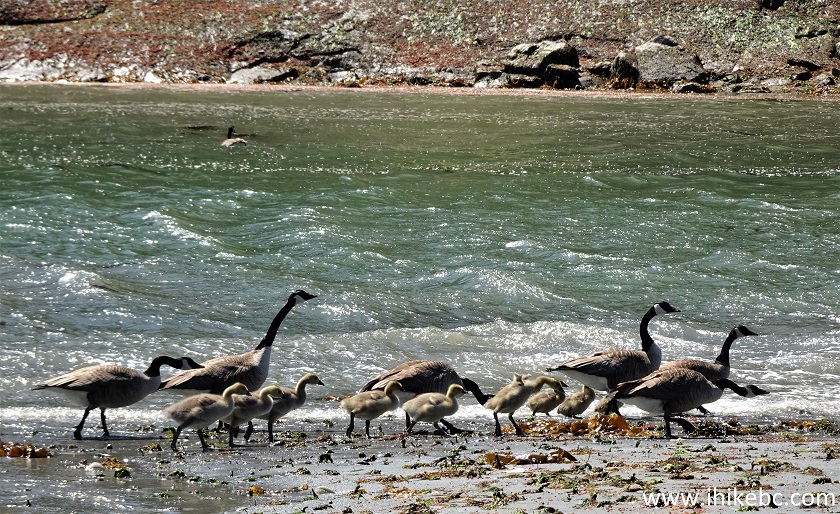
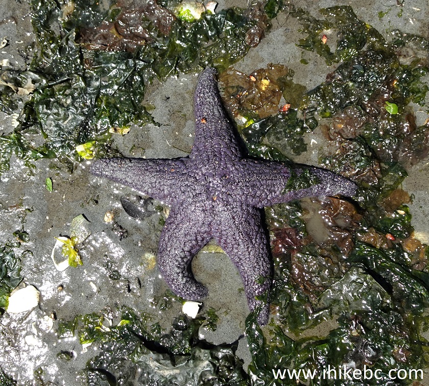
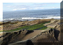
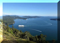
There are a lot of interesting things at those shore access points, from fabulous shore views, to all kinds of marine traffic (especially BC Ferries), herons, crabs, sea stars, and very unusual sandstone formations. Of course, coming during low tide would allow to see more of the shore and tidal pools. Apparently, it is even possible to observe whales from some access points (which are marked in the map as such), but we saw no whales during our visit.
At all access points the ground can be quite slippery and the terrain occasionally challenging (including on access trails), and, fairly often, it's more than just a simple walk in the park, and proper preparation and caution are in order.
Many of these access points are located on fairly narrow side streets, and any vehicle larger than a full size pickup truck may find it difficult turning around at those locations.
There are 31 access points, and they are numbered from 3 to 69. Since the number goes to 69, but there are only 31 points, it is unclear whether there were other access points which have since been deactivated. In any case, in the table below we list these access points in numerical order, subjectively rate their "view value", and put relevant notes. The map with access points has a brief description of each point as well.
Finally, a big kudos to whoever created these access points - they make an otherwise a highly enjoyable visit to Galiano Island that much more special.
Galiano Island Shore Access Points:
|
# |
To Shore |
Views |
Notes |
|
3 |
15 m |
Good |
|
|
4 |
40 m |
Good |
Met a heron |
|
5 |
50 m |
Good |
Passing ships |
|
10 |
105 m |
Good |
|
|
11 |
45 m |
Ok |
|
|
13 |
0 m |
Ok |
|
|
14 |
190 m |
Good |
Passing ships |
|
15 |
600 m |
Good |
Steep trail at the end. Sandy beach with a swing. Passing ships. |
|
17 |
130 m |
Good |
|
|
23 |
140 m |
Ok |
Close to marina |
|
26 |
230 m |
Good |
A small waterfall |
|
27 |
80 m |
Ok |
|
|
31 |
110 m |
Good |
Zig-zagging creek |
|
33 |
70 m |
Ok |
|
|
34 |
25 m |
Good |
A fine tree view |
|
37 |
70 m |
Ok |
Steep trail |
|
38 |
35 m |
Ok |
|
|
45 |
20 m |
Good |
|
|
48 |
100 m |
Ok |
|
|
49 |
520 m |
Good |
Parking lot is down a short steep road – park on main road, unless 4x4 |
|
50 |
470 m |
Good |
Steep trail at the end – has stairs |
|
53 |
140 m |
Great |
Excellent tidal pools & sandstone |
|
55 |
110 m |
Ok |
A small leaning tree |
|
57 |
270 m |
Great |
Tidal pools. Weird round-shaped sandstone |
|
58 |
55 m |
Ok |
|
|
59 |
200 m |
Good |
|
|
60 |
30 m |
Good |
Tidal pools |
|
61 |
40 m |
Ok |
|
|
62 |
25 m |
Ok |
Met a heron |
|
65 |
40 m |
Ok |
|
|
69 |
200 m |
Good |
Sandstone |
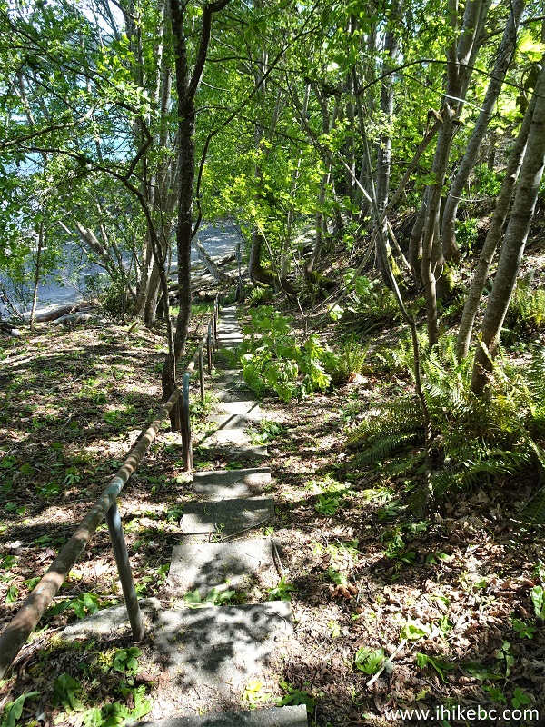
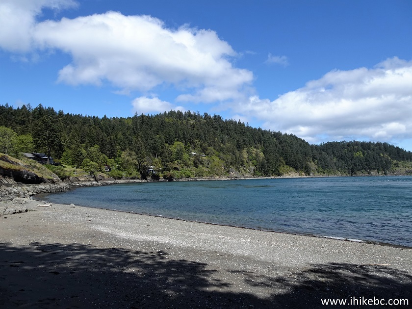
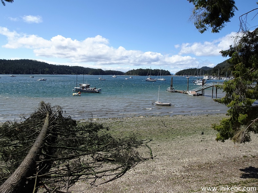
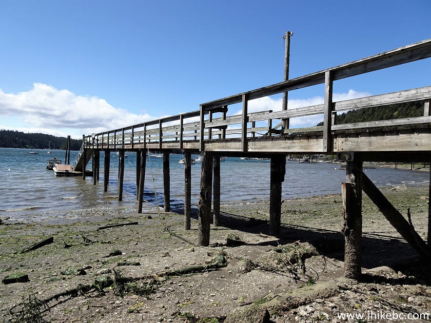
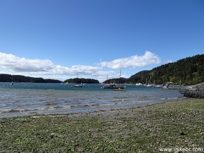
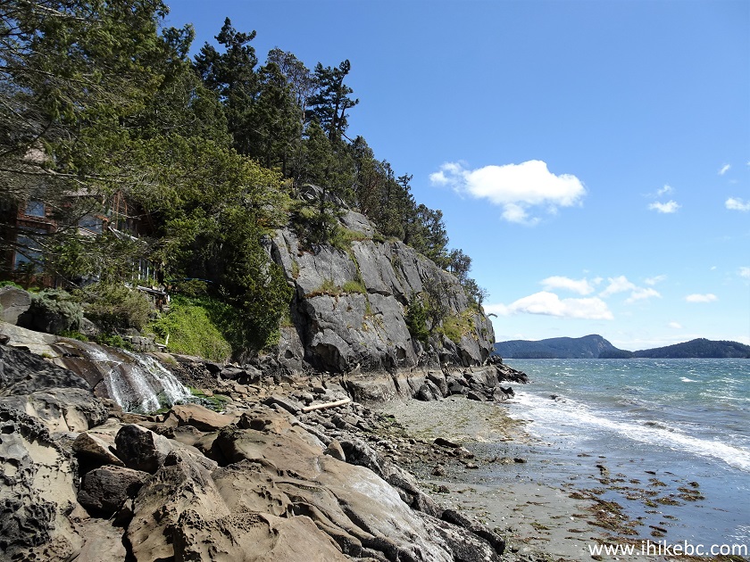
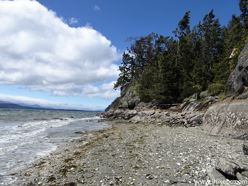
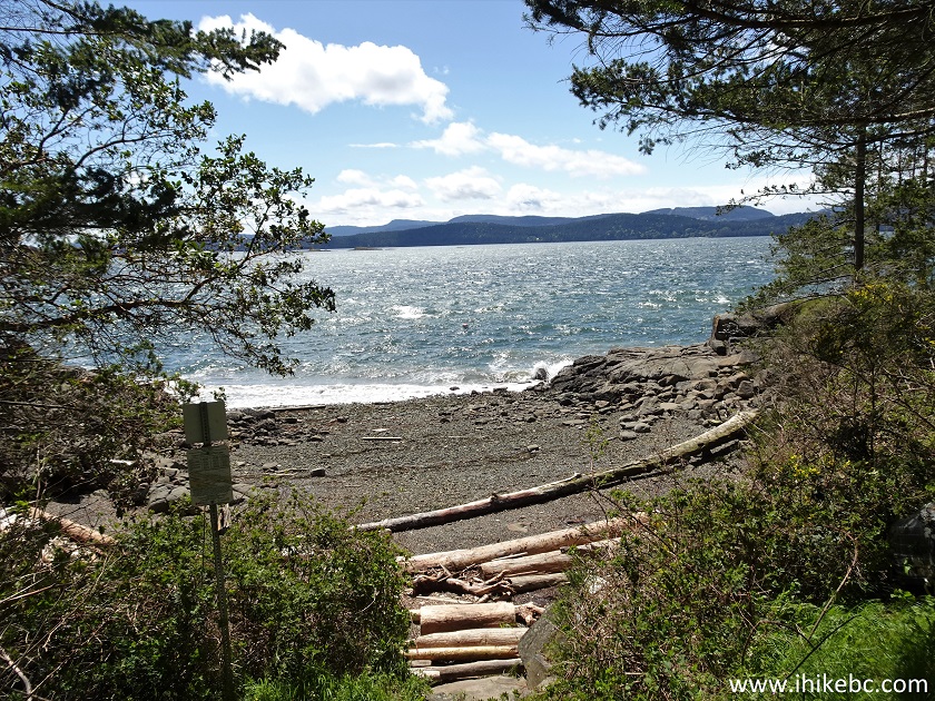
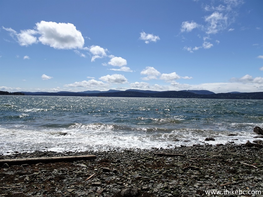
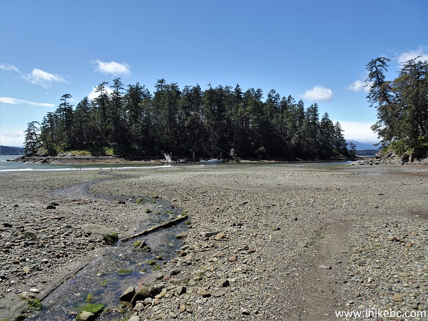
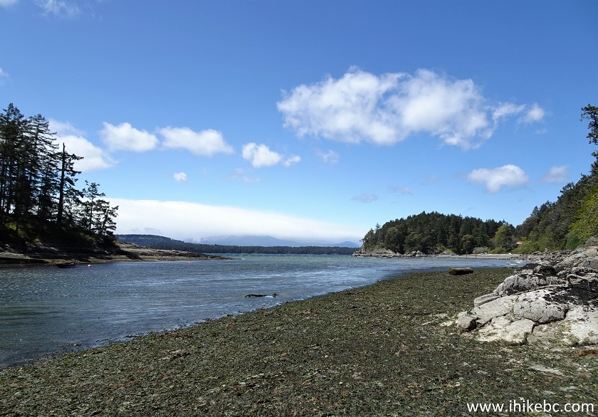
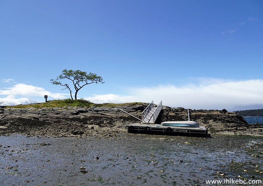
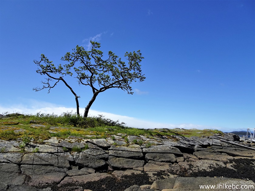
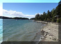
33-36. Shore Access Point #15 (Bluff Road).
To the shore: 600 meters. Views: good.
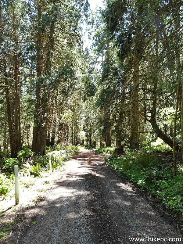
This access point is a sandy beach with a swing and passing ships. The only more-or-less truly sandy public beach we could find on Galiano Island. Coordinates: N 48°51.731’ W 123°19.293’. The trail gets very steep the last 100 meters or so, and there is a rope for assistance.

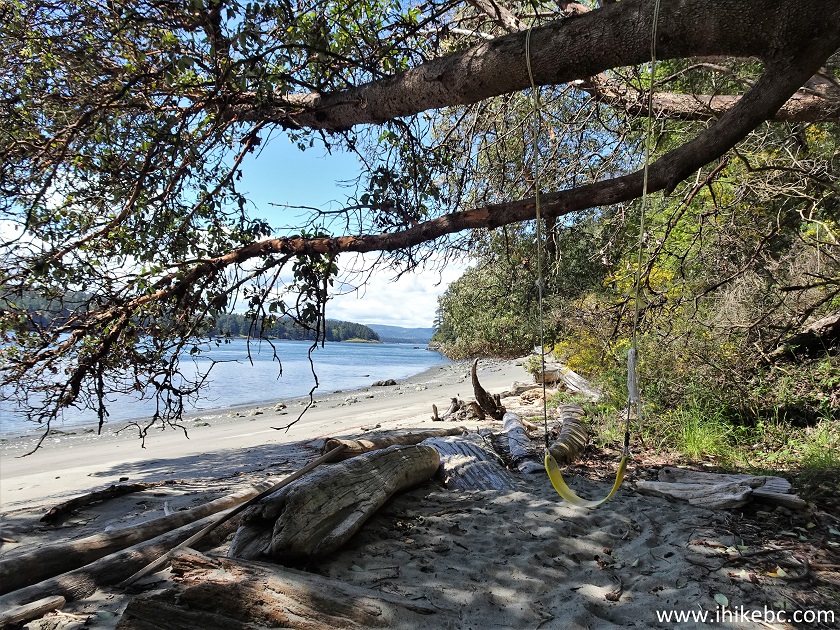
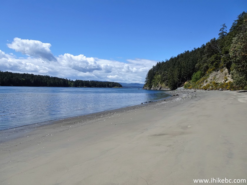
Sandy Beach on Galiano Island British Columbia
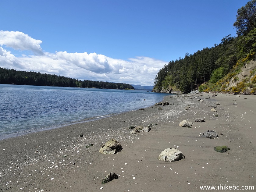
Bluff Road Shore Access Point #15 Galiano Island BC
Here is our video of the views from Shore Access Point #15.
More ihikebc videos are on our YouTube Channel.
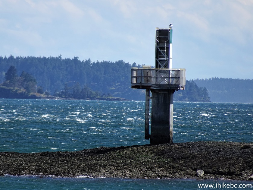
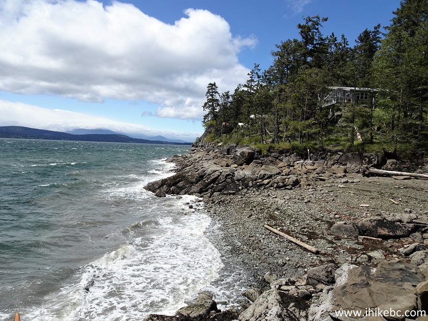
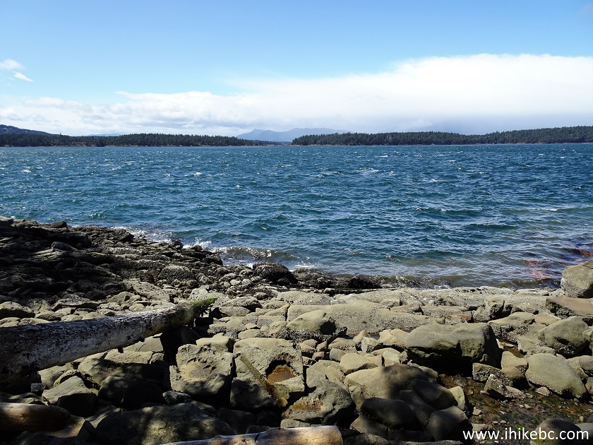
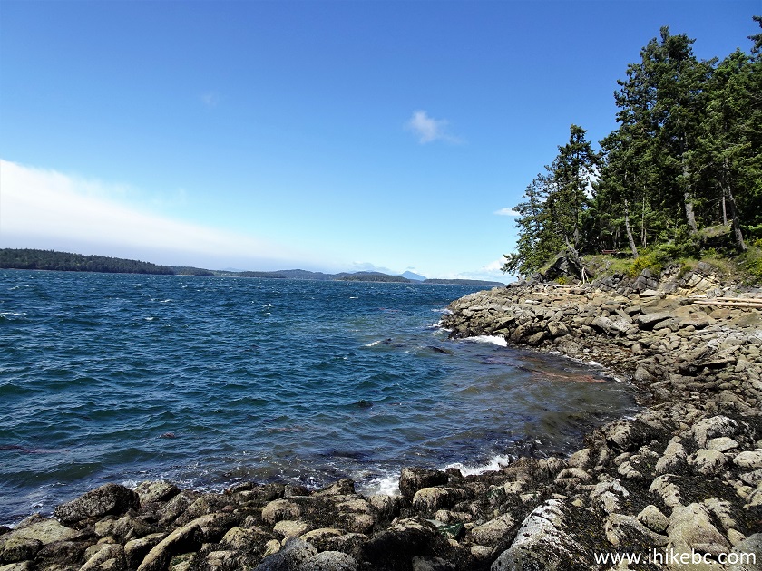
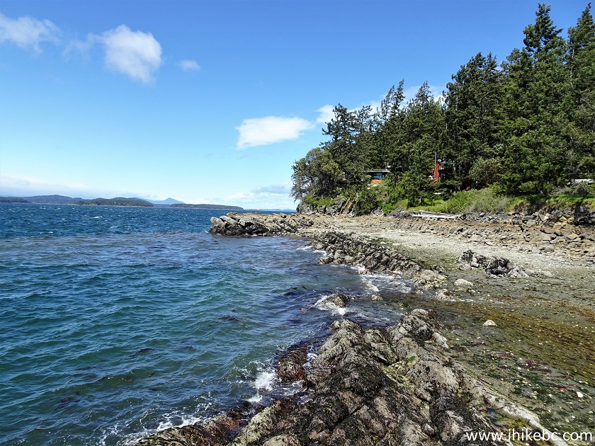
37-42. Shore Access Point #17 (Active Pass Drive, near Mount Galiano trailhead).
To the shore: 130 meters. Views: good.
Fairly steep access, but with stairs.
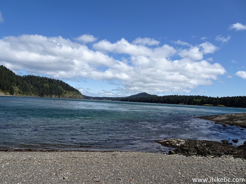
Galiano Island Active Pass Drive Shore Access Point #17
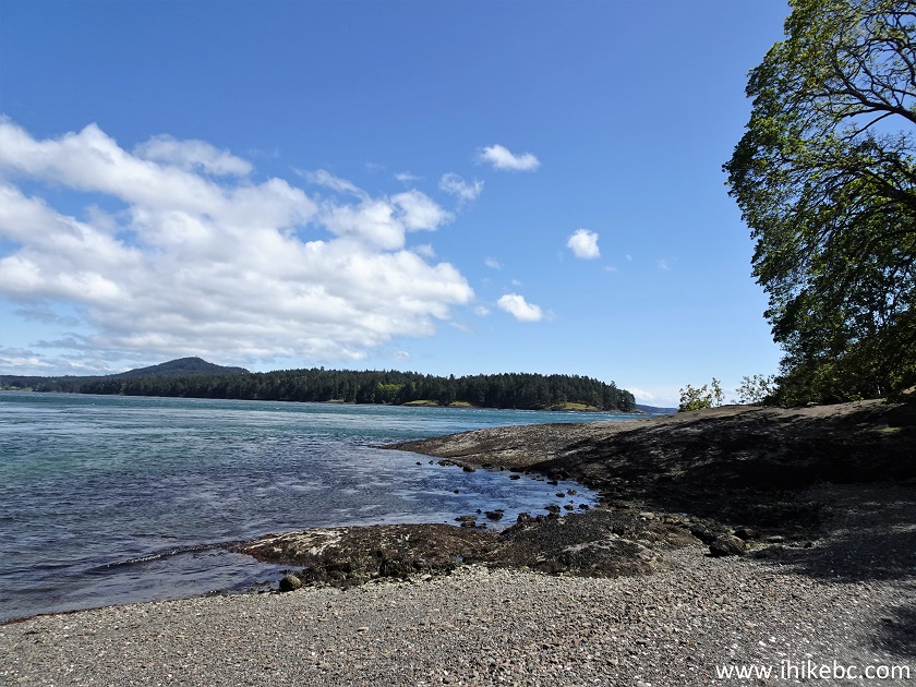
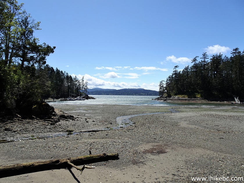
43-45. Shore Access Point #23 (Southwind Road).
To the shore: 140 meters. Views: ok.
Located near Montague Harbour Marina.
Galiano Island Shore Access Point #23 by Southwind Road near Montague
Harbour Marina
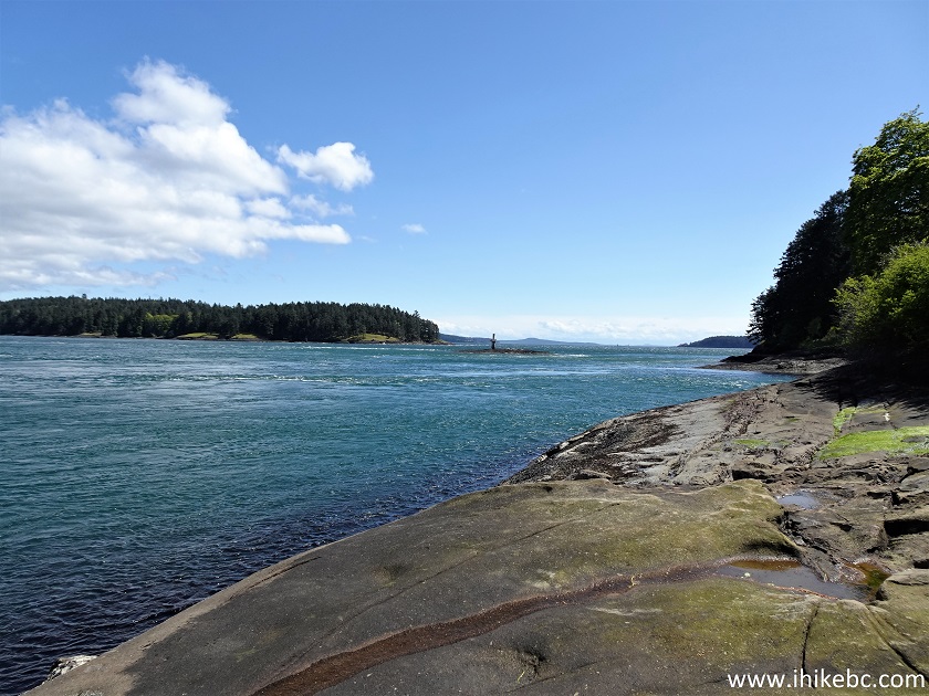
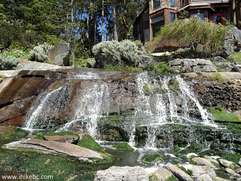
46-49. Shore Access Point #26 (Ganner Drive).
To the shore: 230 meters. Views: Good.
Features a small waterfall.
Ganner Drive Shore Access Point #26 - Galiano Island BC Canada
50-52. Shore Access Point #27 (Ganner Drive).
To the shore: 80 meters. Views: ok.
Galiano Island Shore Access Point #27 (Ganner Drive)
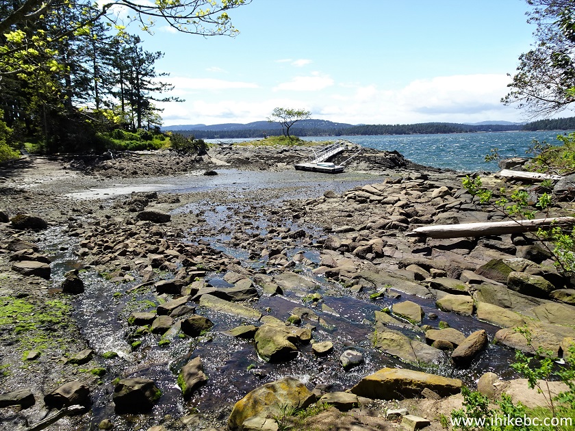
53-57. Shore Access Point #31 (Porlier Pass Road).
To the shore: 110 meters. Views: good.
Featuring a zig-zagging creek.
Porlier Pass Road Shore Access Point #31 on Galiano Island BC
58-59. Shore Access Point #33 (Porlier Pass Road).
To the shore: 70 meters. Views: ok.
Shore Access Point #33 on Galiano Island BC
60-66. Shore Access Point #34 (Porlier Pass Road).
To the shore: 25 meters. Views: good.
Featuring a fine tree view.
The access point entrance is mostly hidden by vegetation. It is located right by the traffic sign seen in photo #60.
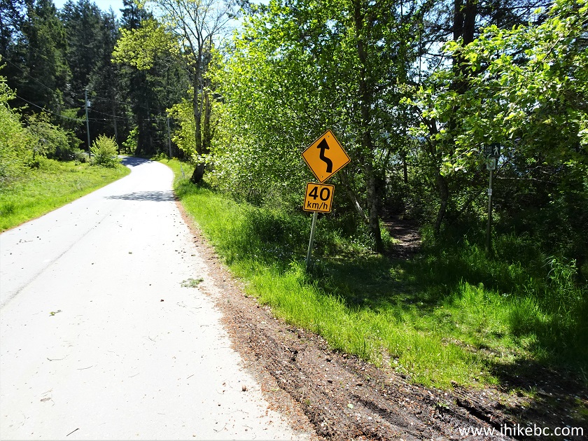
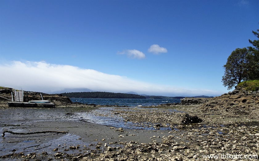

Porlier Pass Road Shore Access Point #34 on Galiano Island BC
Our Galiano Island Shore Access Points Trip Report Continues on Page 3.


|
 |
Other Trips on Galiano Island:
|
|
|
|
|
|
|


![]()
![]()
![]()
ihikebc.com Trip 249 - Galiano Island Shore Access Points (Page 2 of 4)