![]()
![]()
![]()

Trip 198 - August 10, 2020 (Monday)
Taggart Peak Trail Hike
Sumas Mountain Regional Park
Near Abbotsford BC
Trailhead Location: Approximately 90 km East of Vancouver via Highway 1, Number 3 Road, North Parallel Road, Number 4 Road, and Lakemount Road.
Liked: Several fine forest scenes, shade in the forest, very few bugs (to the main viewpoint).
Of Note: The main viewpoint is largely obstructed by trees. The peak viewpoint is almost completely obstructed by trees. Some mosquitoes past the first viewpoint. Constant hum from Highway 1. Sporadic loud gunfire from the nearby Abbotsford Fish & Game club. Moderately challenging trail with some steep sections - hiking poles and boots are recommended. The trail is popular.
Vancouver, Coast & Mountains Backroad Mapbook (2010 edition) Trail Coordinates: Page 3 (Abbotsford) G5.
Related Website: Sumas Mountain Regional Park - Fraser Valley Regional District Official Website.
Another Hike on Sumas Mountain: Centennial Trail Hike.
Follow @ihikebc Tweet
We were in the area on an unrelated business, and decided to go for a hike. Checked Backroad Mapbook software in our GPS, and discovered Taggart Peak Trail nearby. Hit the "go to" button, and followed the directions. And it's a good thing we had this software, as there is not a single sign leading to Taggart Peak Trail. In fact, there is no trailhead sign either. And even then, the trail was definitely not lacking hikers on an early Monday afternoon.
Mount Taggart is a sub-summit of Sumas Mountain, and is located in Sumas Mountain Regional Park. It appears, the locals treat this trail as an Abbotsford's "Grouse Grind". We have met about a dozen folks who had nothing but their exercise clothing on - no food/water/hiking poles - just sweating it up and down the trail. There were even more people who were dressed casually, or had some hiking gear with them. We then searched for this trail online and, sure enough, found a few references to Taggart Peak trail as an "Abby Grind."
Despite being a good sweat breaker, Taggart Peak Trail is not as tough or as long as THE Grind, but it nearly matches its North Vancouver namesake in lacking good views. Granted, the main viewpoint, where everyone seemed to stop (despite the trail continuing on to the peak), has a very impressive Fraser Valley view. But, alas, three enormous trees block most of that view, and spoil the experience. Add to that a constant hum from Highway 1, and very loud (and frequent, if you are unlucky) gunshots from the nearby Abbotsford Fish & Game Club, and this is not the kind of trail worth driving for from the Vancouver area. That said, if you are not too far, and wish to have a good workout and see a few decent forest scenes, Taggart Peak Trail just might fit the bill.
Finally, on a sunny day, try to hike late in the afternoon for better views, as the sun would be shining in your eyes until then, and the valley views would be very hazy.
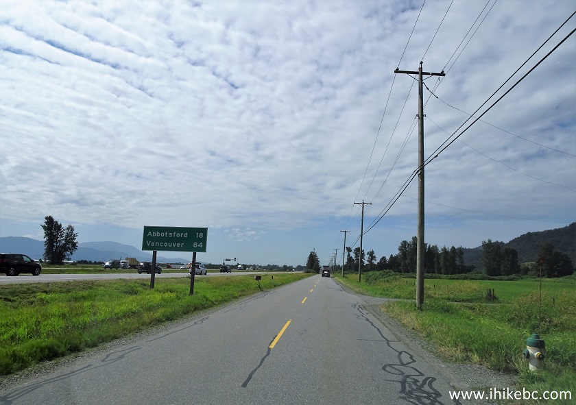
1. We are in Abbotsford on TransCanada Highway 1 Eastbound, approximately 85 kilometers East of Vancouver, approaching Exit 104 to No 3 Road.
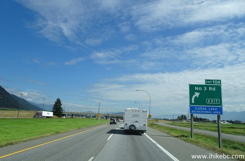
TransCanada Highway 1 Eastbound near Exit 104 No 3
Road
2. Now taking Exit 104. Upon exiting the highway, make a left turn and cross the overpass.
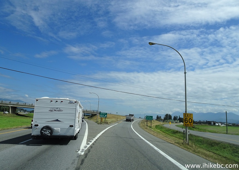
Eastbound TransCanada Highway 1 at Exit 104 No 3 Road
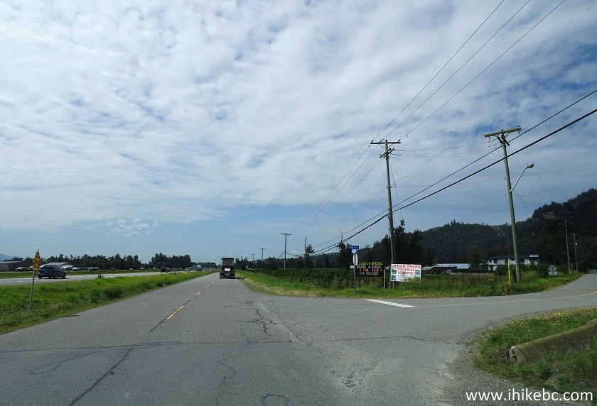
3. Driving on No 3 Road and crossing the overpass above Highway 1.
No 3 Road Abbotsford British Columbia
4. 500 meters after exiting the highway, turn left from No 3 Road onto North Parallel Road (the dump truck is heading that way).
No 3 Road at North Parallel Road Abbotsford BC Canada
5. Drive on North Parallel road parallel to Highway 1. We are briefly going back towards Vancouver.
North Parallel Road Abbotsford British Columbia
6. 3.0 km after exiting Highway 1 (and 2.5 km after turning onto North Parallel Rd), turn right onto No 4 Road.
North Parallel Road at No 4 Road
7. Now on No 4 Road.
No 4 Road Abbotsford
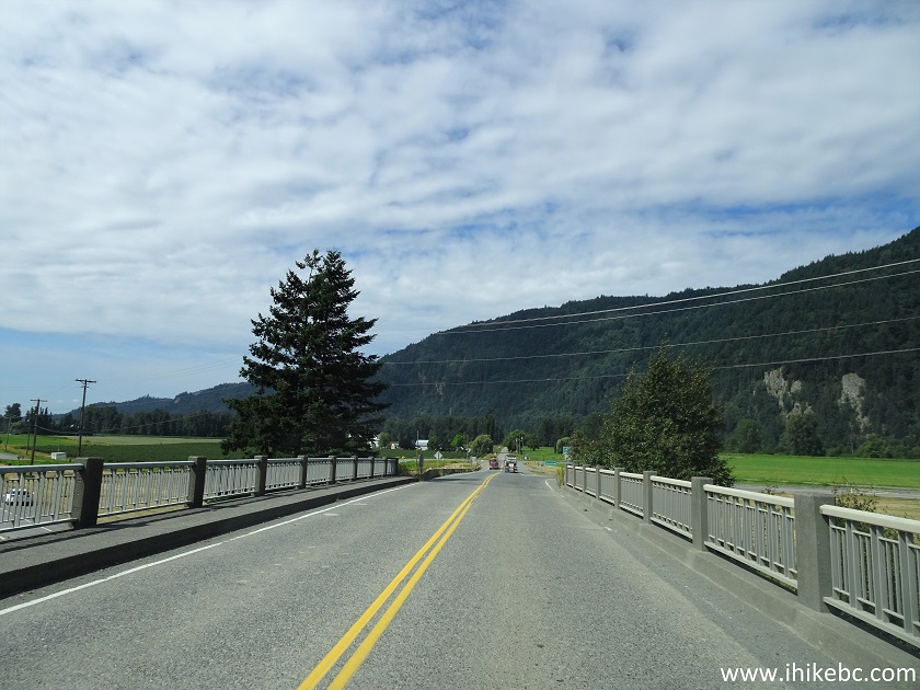
8. Having driven on No 4 Road for one kilometer, we came to its end and made a right turn onto Lakemount Road.
No 4 Road at Lakemount Road Abbotsford BC
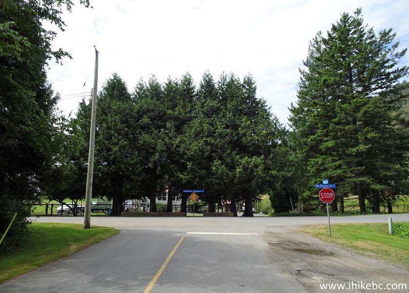
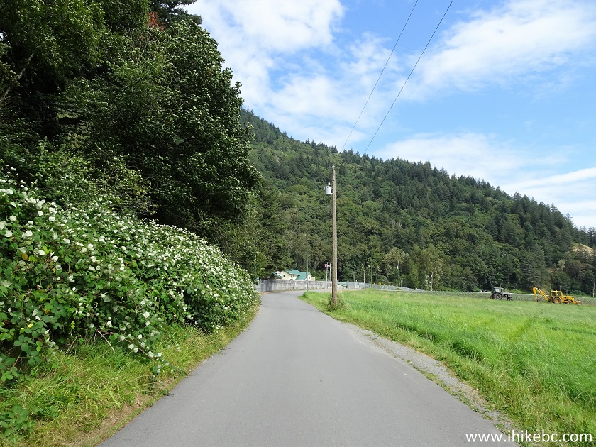
9. Lakemount Road will cross a small bridge shortly after the turn. There is a dyke-like trail to the left and right of the bridge, perpendicular to Lakemount Road. It's approximately the middle of TCT Abbotsford Discovery Trail, according to Backroad Mapbook software in our GPS.
Lakemount Road Abbotsford
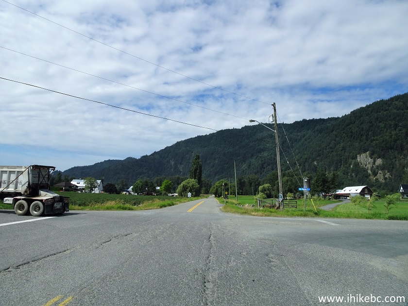
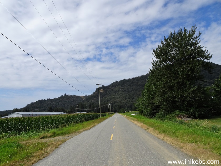
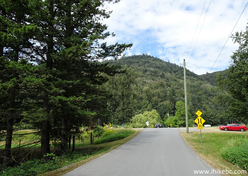
10. But we kept on driving on Lakemount Road. That's Abbotsford Fish & Game Club seen straight ahead. Be prepared for loud gunfire as you drive past the club, as the shooting range is located very close to the road. It can be quite startling, if you are not expecting it.
Lakemount Road Abbotsford British Columbia
11. About 800 meters after turning from No 4 Road onto Lakemount Road, we arrived to a large parking area for Taggart Peak trailhead. Coordinates: N 49⁰04.837' W 122⁰09.651'. Elevation: 3 meters.
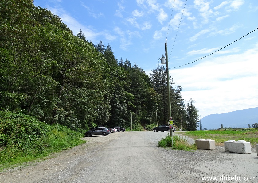
Taggart Peak Trailhead Parking Area
Here is our video of the trailhead parking area and the sounds of gunfire.
12. The trailhead is quite inconspicuous, and can be seen just to the right of the gray sedan in the photo below.
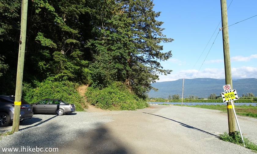
Taggart Peak Trailhead
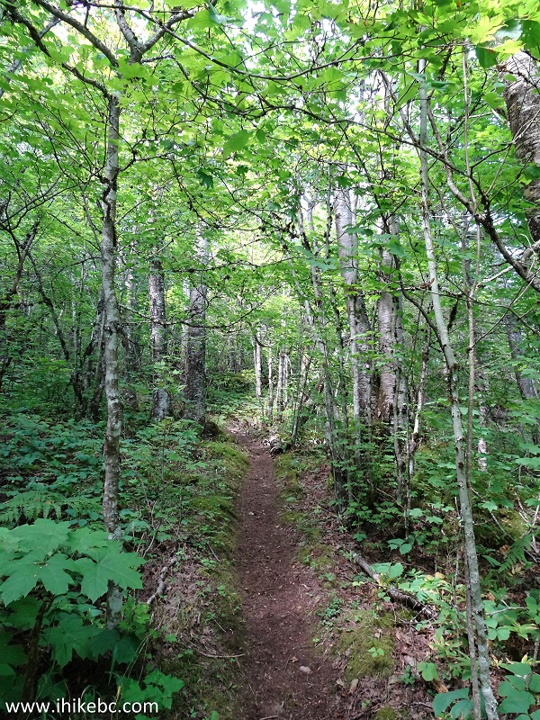
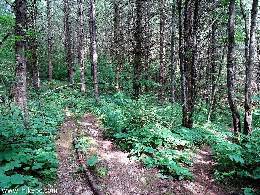
13. Taggart Peak Trail begins.
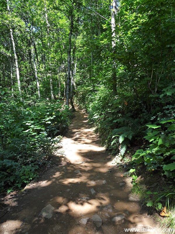
Taggart Peak Trail - Abbotsford Trail
14. There is a lot of shade on this trail.
Taggart Peak Trail - Abbotsford Hike
15. Also, numerous fern plants on the sides of the trail create an almost semi-tropical ambiance every now and then.
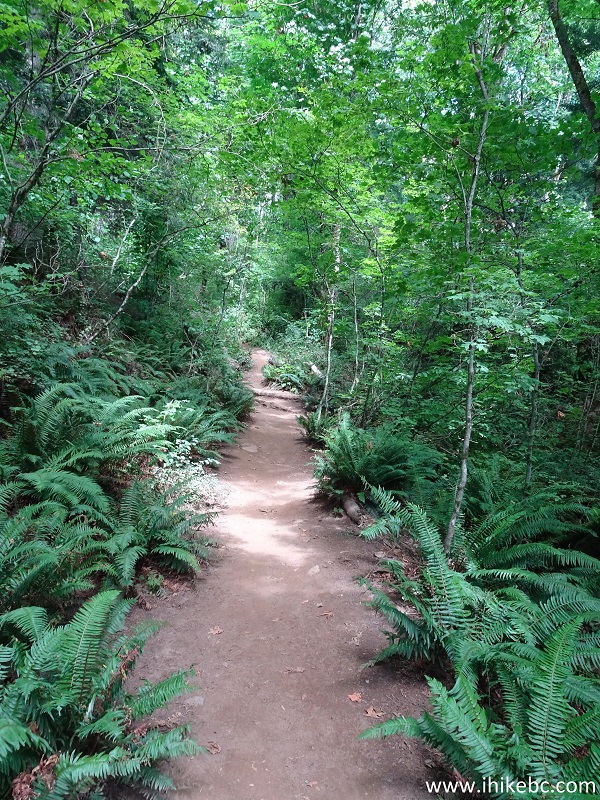
Taggart Peak Trail - Abbotsford Hiking - Abby Grind
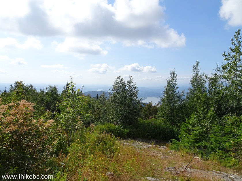
16. At about 1.1 km, a small opening in the trees allows for a good valley view. All trail distances are based on a GPS odometer and are approximate.
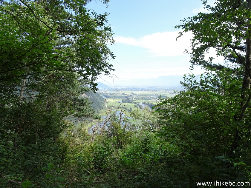
View from Taggart Peak Trail in Abbotsford British
Columbia Canada
17. Now with a zoom.
Fraser Valley Zoomed View from Taggart Peak Trail
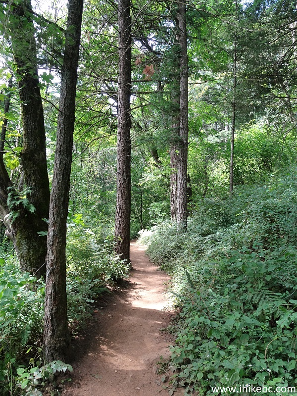
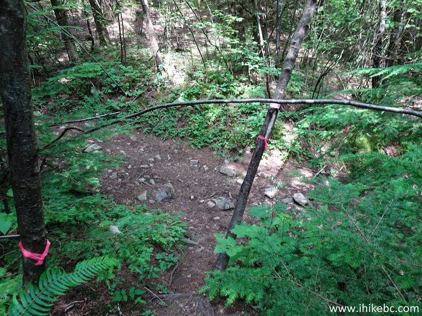
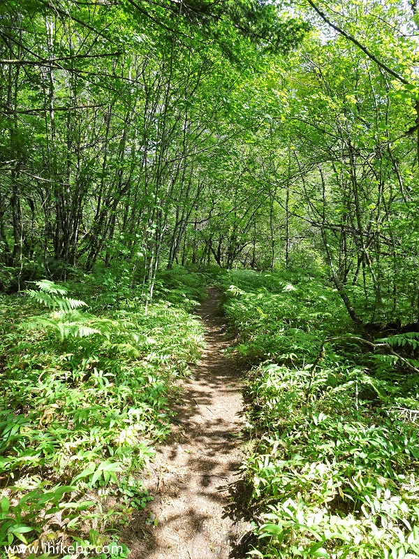
18. Taggart Peak Trail has several challenging, if short, stretches, this being one of them.
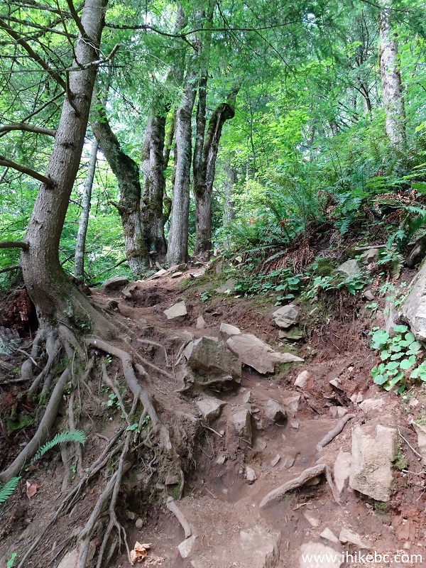
Abbotsford Grind - Taggart Peak Trail in Abbotsford
BC Area
19. Approximately at 1.7 km, there is a split. Coordinates: N 49⁰05.200' W 122⁰09.864'. Elevation: 414 meters (411 meters elevation gain from the trailhead). To the left is a 3.5 km hike to Taggart Peak. To the right is a 100 meter hike to the main viewpoint.
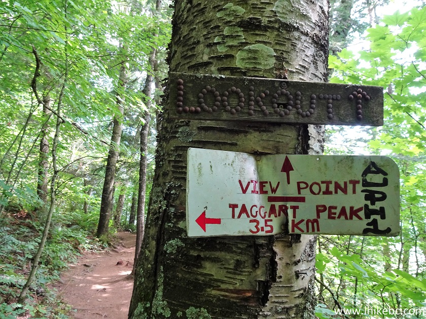
Taggart Peak Trail - Hike in Abbotsford Area
20. We first went to the viewpoint. Everyone else we met today went no further. We have met no other hikers while en route to the peak and back to the viewpoint.
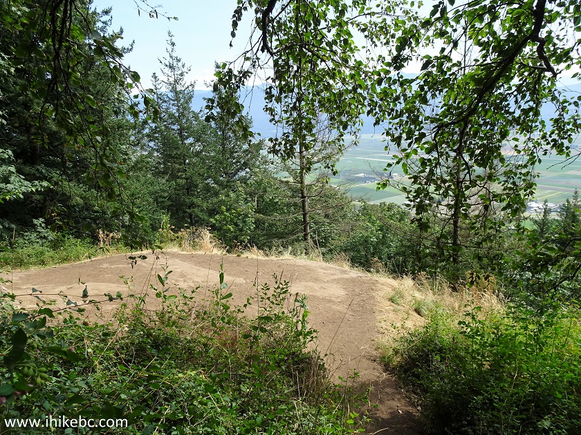
Taggart Peak Main Viewpoint Area
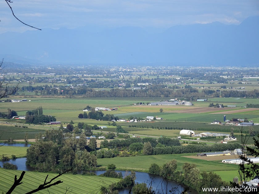
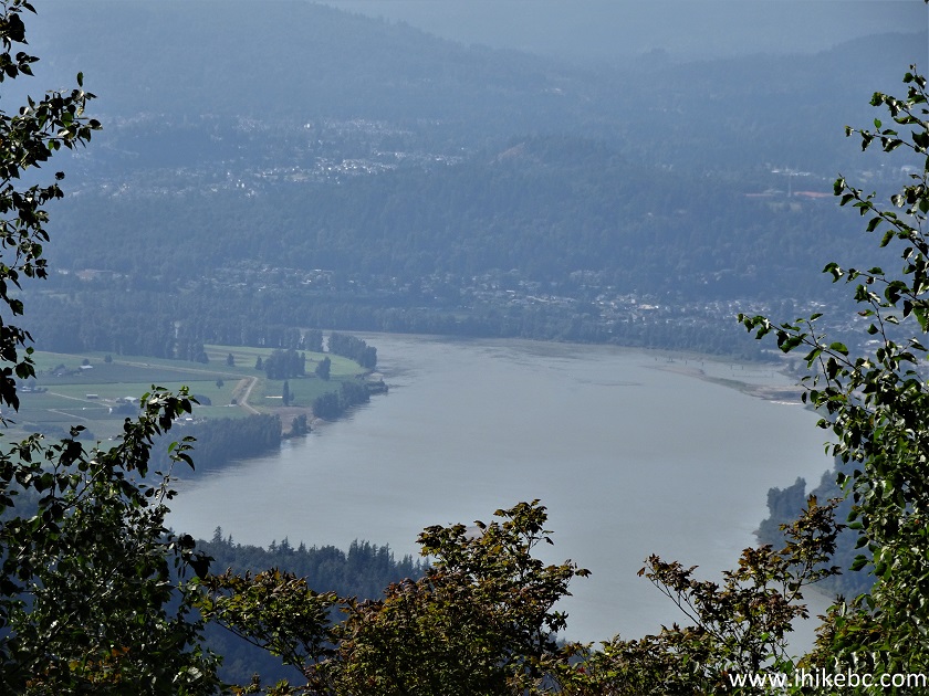
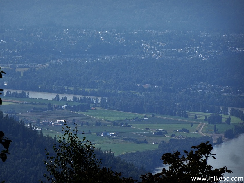
21-22. What could have been a magnificent view is spoiled by three large trees right in front of an impressive valley. Left to right.
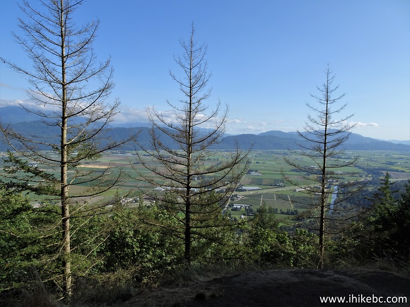
Taggart Peak Trail Main Viewpoint
View from Taggart Peak Trail - Sumas Mountain
Regional Park
23. With some zoom, we get to see a bit more.
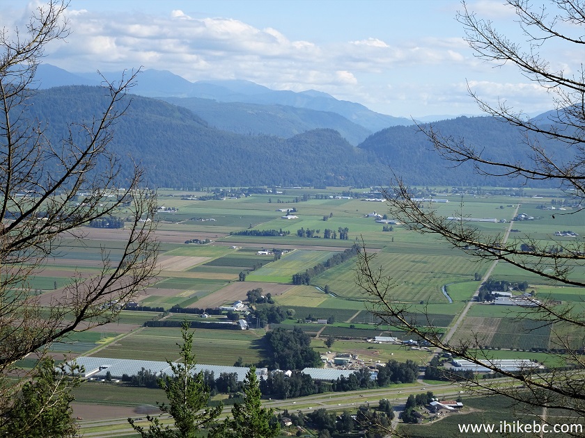
Zoomed Fraser Valley View from Taggart Peak Trail
24. Now to the right.
Fraser Valley Zoomed View from Taggart Peak Main
Viewpoint
Here is our video of the views from the main viewpoint.
More ihikebc videos are on our YouTube Channel.
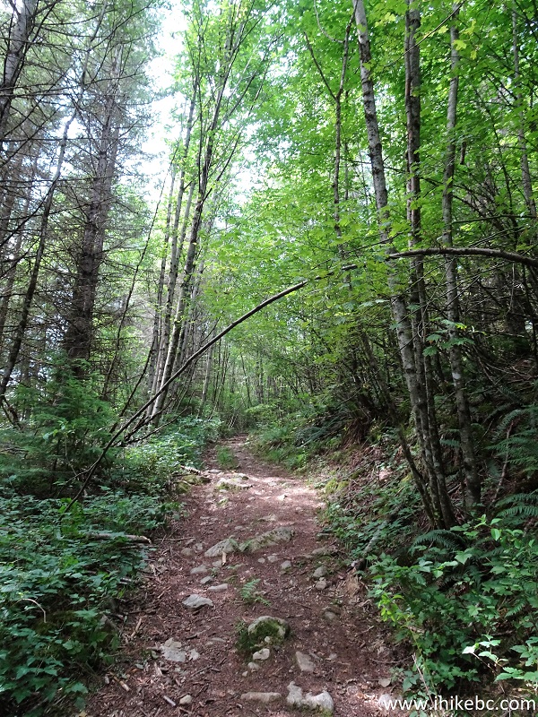
25. We then continued hiking to Taggart Peak. The trail has become substantially less travelled. Some mosquitoes appeared as well.
Taggart Peak Trail
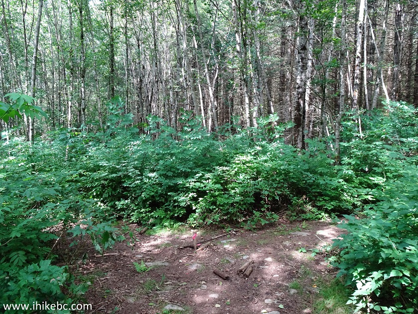
26. 2.1 km after the viewpoint, there is a T-junction. Coordinates: N 49⁰06.075' W 122⁰09.131'. Elevation: 599 meters. Turn left.
Abbotsford Hiking - Taggart Peak Trail
27. Taggart Peak Trail after the T-junction. Tire imprints indicated that motorized vehicles visit here as well.
Taggart Peak Trail in Sumas Mountain Provincial Park in
Abbotsford BC Area
28. At 2.3 km, there is another T-junction. Turn to the right this time.
Taggart Peak Trail - British Columbia Hiking
29. 200 meters later, there is a split. Take the path to the right.
Hike in British Columbia - Taggart Peak Trail
30. Getting close to Taggart Peak.
Taggart Peak Hike
31. And we are there, approximately 3.5 km from the viewpoint (4.6 km from the trailhead). Coordinates: N 49⁰06.302' W 122⁰08.571'. Elevation: 762 meters (759 meters elevation gain from the trailhead). There are two communication shacks with attached equipment there, with large red signs threatening to dispatch RCMP to deal with trespassers.
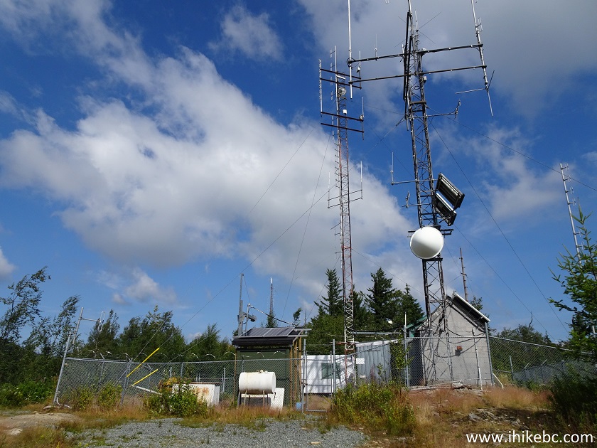
Taggart Peak Communications Equipment
32. The best view of what's left on this overgrown peak is located next to the second shack, just up the road from the first one.
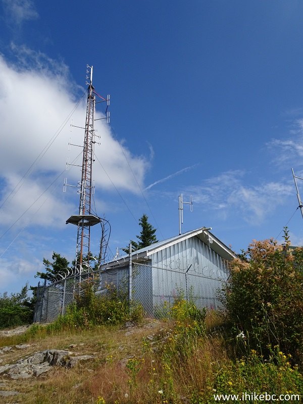
Communications Shack on Taggart Peak near Abbotsford
British Columbia
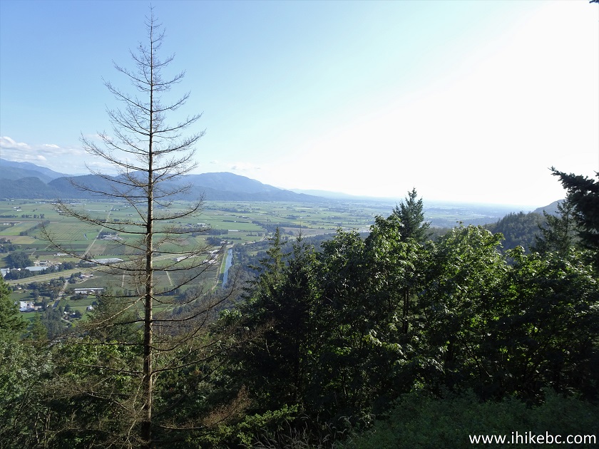
33. So, yeah, here is the view. You can tell it used to be quite impressive.
Obstructed View from Taggart Peak
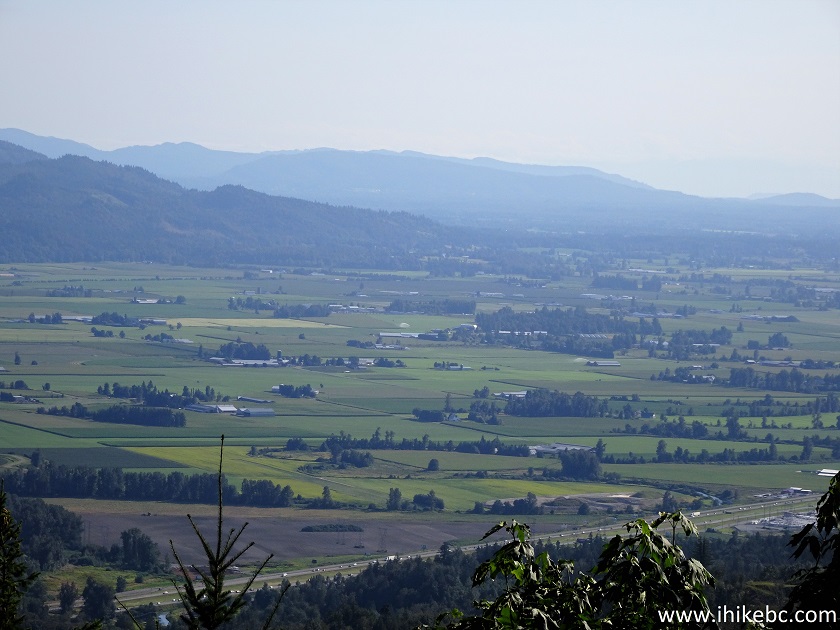
34. With a lot of zoom.
Zoomed View from Taggart Peak in Abbotsford Area
35. One more.
Zoomed view from Taggart Peak in Sumas Mountain
Regional Park
Taggart Peak Trail is good for folks in search of a quality exercise hike, and who do not mind the noise from Highway 1 and the gunfire from the nearby Fish & Game club.


|
 |
![]()
![]()
![]()
ihikebc.com Trip 198 - Taggart Peak Trail Hike (near Abbotsford BC)