![]()
![]()
![]()

Trip 115 - August 1, 2016 (Monday)
Bootski Lake Trail Hike
Near Tumbler Ridge BC
Page 2 of 2
Trailhead Location: Northeastern British Columbia, approximately 87 kilometers Southeast of the town of Tumbler Ridge off
Highway 52E.
Liked: Mountain and lake views, few bugs. The access road is quite smooth until the last 12 kilometers, but is passable in a medium-clearance 2WD vehicle all the way to the trailhead.
Of note: Remote wilderness area, some parts of the trail are steep, several creek crossings required, the lake could be somewhat difficult to find, the last 12 kilometers of the access road are full of large potholes, hiking boots and poles are highly recommended (or essential, if you decide to climb the mountain by the lake). The mountain by the lake is for experienced and properly equipped hikers only - avoid the final narrow ridge if windy or wet.
Northern BC Backroad Mapbook (3rd edition) Trailhead Coordinates: Page 29 (Monkman Provincial Park) G1.
Related Website: WNMS Bootski Lake Hiking Route Brochure (PDF file).
Bootski Lake trail is located off Wapiti Forest Service Road, which branches off Ojay Forest Service Road, which starts off Highway 52E approximately 71 kilometers Southeast of Tumbler Ridge in Northeastern British Columbia. The trail is steep at times, but leads to great views, especially if you are experienced and equipped enough to climb the mountain near the lake for better views.
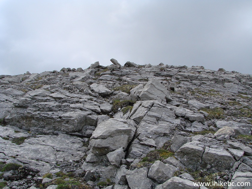
28. It's very steep out there, and the stones are loose, so hiking boots and poles are essential.
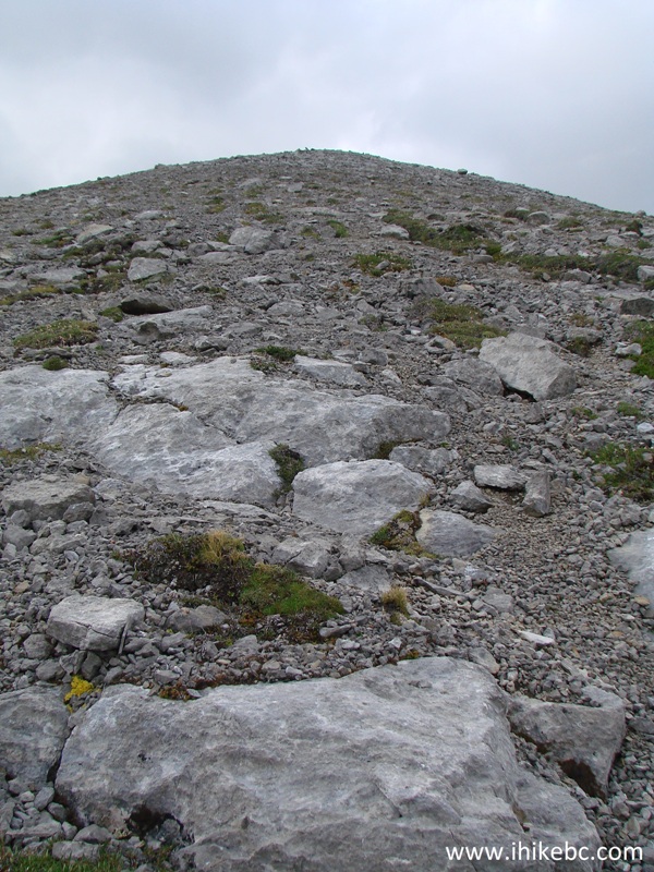
Mountain by Bootski Lake - Tumbler Ridge Hiking BC Canada
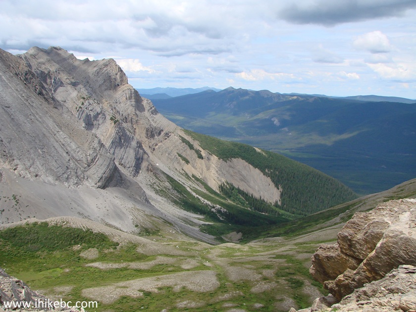
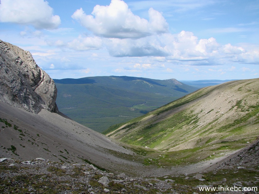
29. A view to the left as we climb. You can see the trailhead where a road branches off the Wapiti FSR (which goes along the mountain), and goes towards us in the middle-right of the photo.
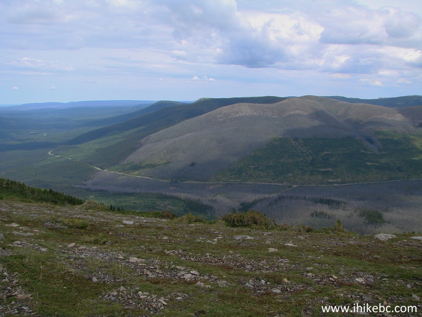
Wapiti FSR seen from the mountain by Bootski Lake - Hike in Tumbler
Ridge Area
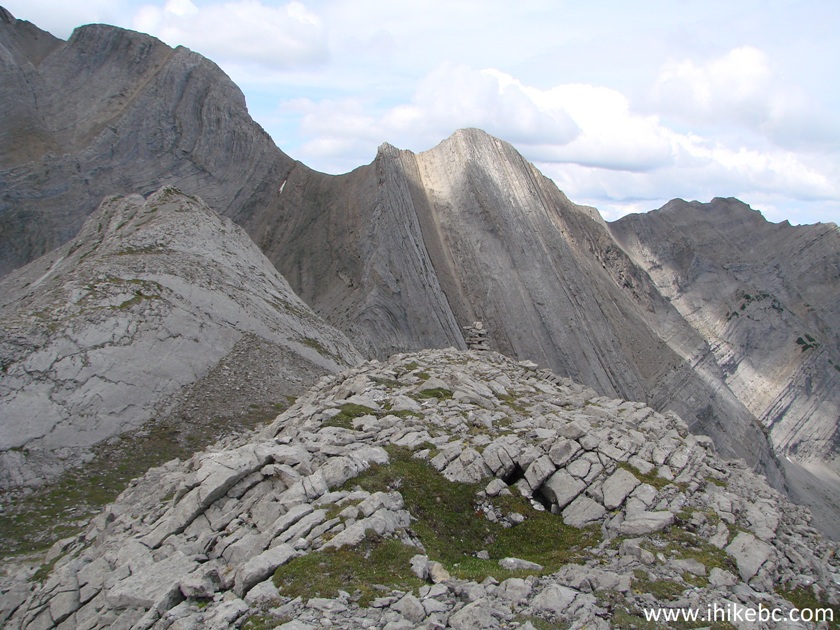
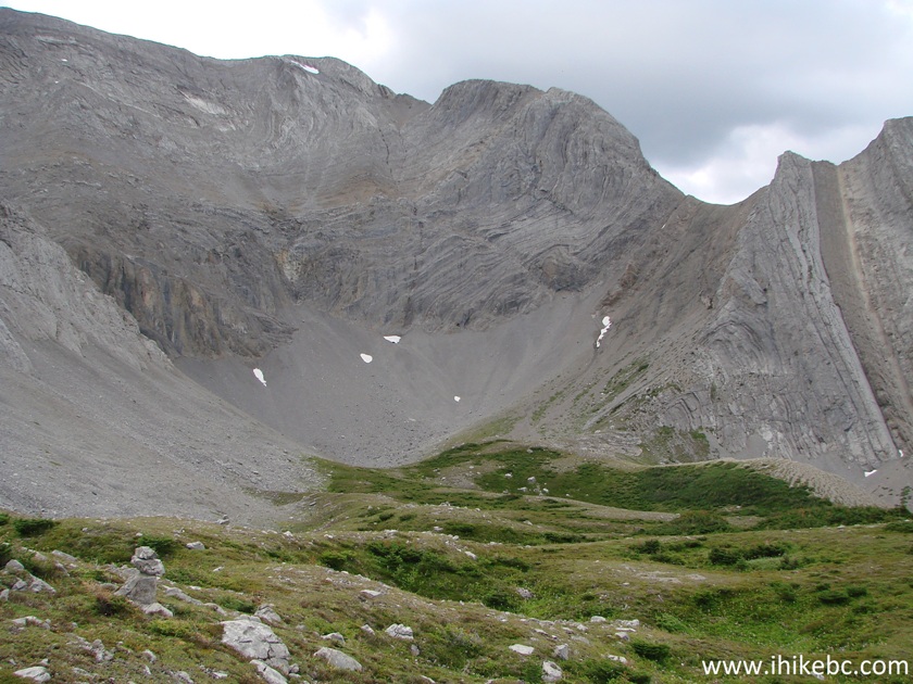
30. Looking back at the alpine. We came from the right.
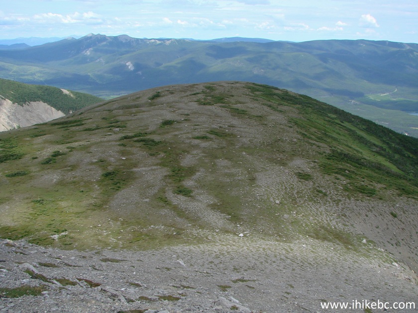
Alpine area by Bootski Lake in Northeastern British Columbia Canada
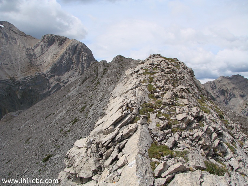
31. Looking to the right.
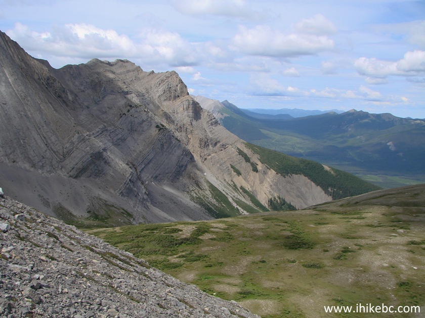
Mountain by Bootski Lake - Hiking in Tumbler Ridge Area
32. Almost there.
Hiking in Tumbler Ridge Area - Bootski Lake Route
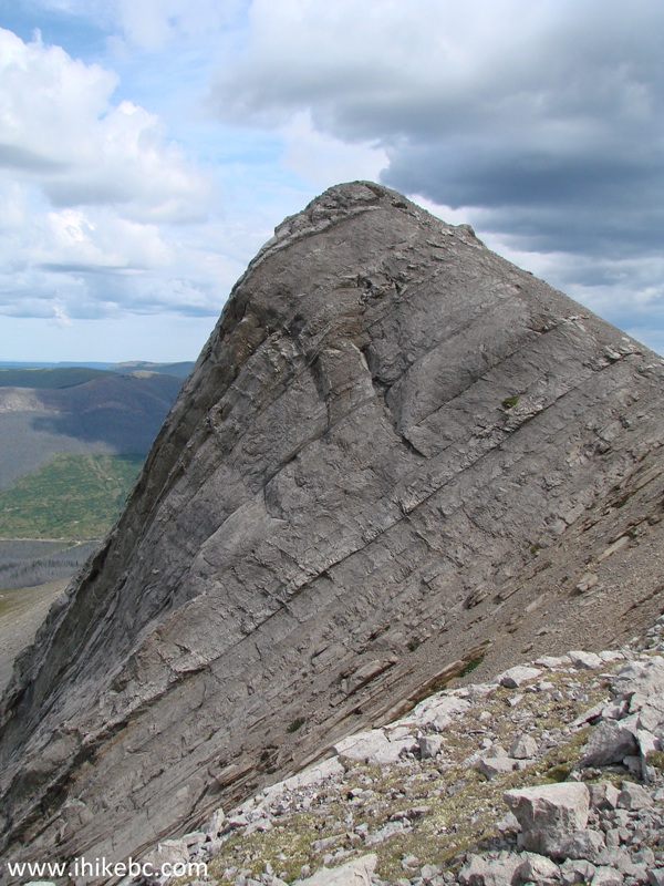
33. Twenty-five minutes of huffing and puffing, and we are at the top. Coordinates: N 54⁰34.245' W 120⁰39.598'. Elevation: 1,952 meters. Bootski Lake Trail brochure from WNMS lists this as a 1955 m peak. You actually need to slightly descend the first peak, then climb the second peak, and only then walk on a narrow ridge to see Bootski Lake from above. We are still at the first peak here.
Hiking in British Columbia - Bootski Lake Route near Tumbler Ridge
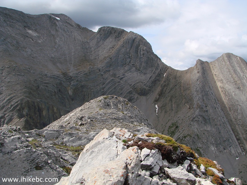
34. A great view to the left.

Mountains near Bootski Lake British Columbia Canada
34. And a narrow ridge ahead. Avoid, if wet or windy.
Tumbler Ridge Hiking - Bootski Lake Route
35. Getting closer.
Hiking in Tumbler Ridge Area - Bootski Lake Route
36. What a view to the right!
View near Bootski Lake Province of BC Canada
37. A long way down.
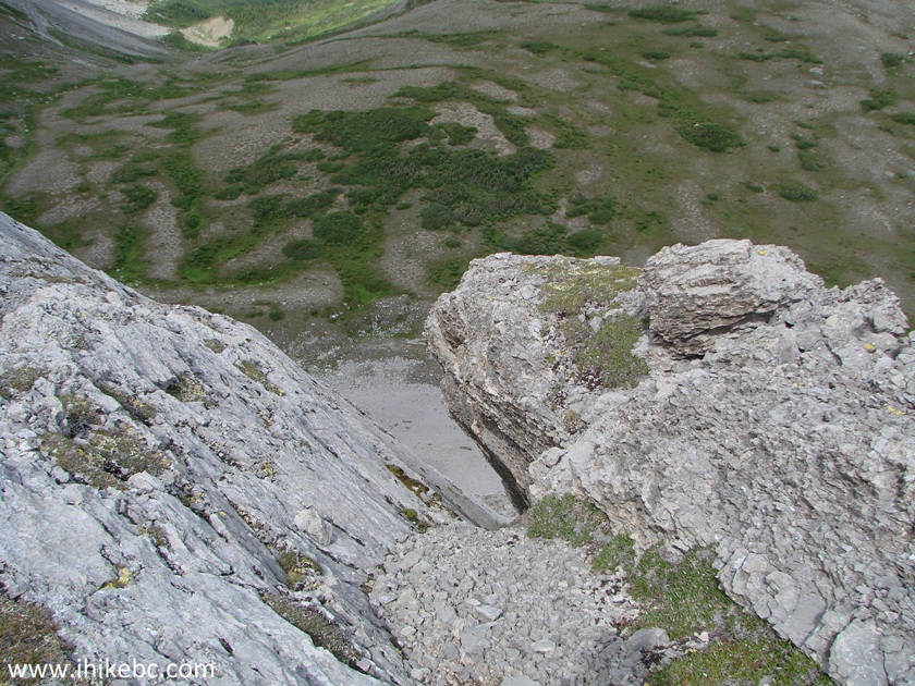
Canada Hiking
38. At long last, Bootski Lake. We did get a bit closer than that, but, even with a very light wind, it was quite unsettling to be on that ridge.
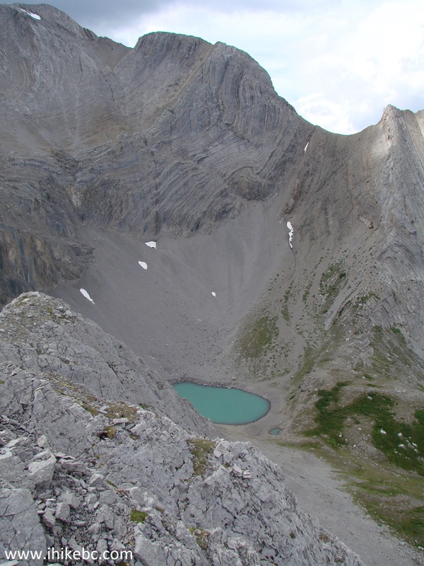
Bootski Lake British Columbia Canada
Here is our video of the views from 1955 m Peak:
39. Now heading back. The view of the first peak from the second. By the way, there appears to be an easy descent route between the two peaks. However, the bottom part of that descent is much steeper than the ascent route of the first peak which we took, so we didn't take any chances and returned the same way.
1955 m peak near Bootski Lake
40. Descended the mountain, turned left, and headed towards the lake.
Bootski Lake Area - Hiking in Tumbler Ridge Area British Columbia Canada
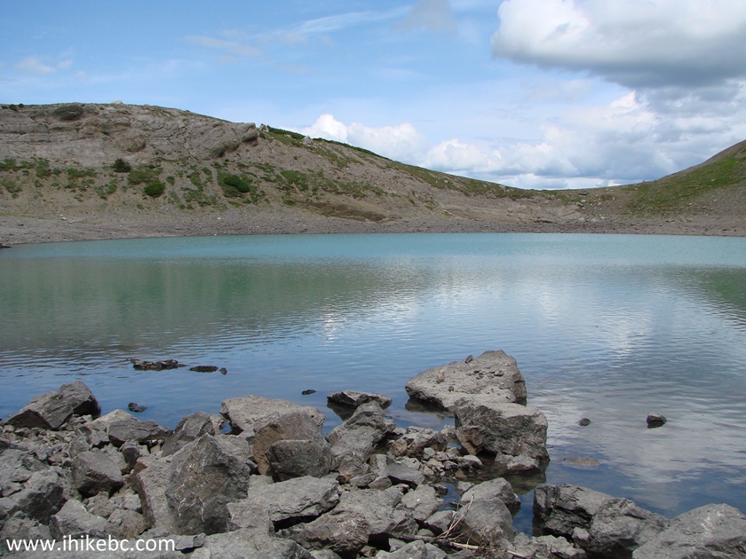
41. Here it is. Coordinates: N 54⁰34.216' W 120⁰40.365'. Elevation: 1,361 meters. Despite the super-steep appearance of the walls behind the lake, it's quite possible to get up to "the saddle" and see the lake from above even better than from the mountain.
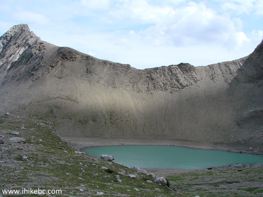
Bootski Lake in the general vicinity of Tumbler Ridge British Columbia
Canada
42. The view of Bootski Lake from "the saddle."
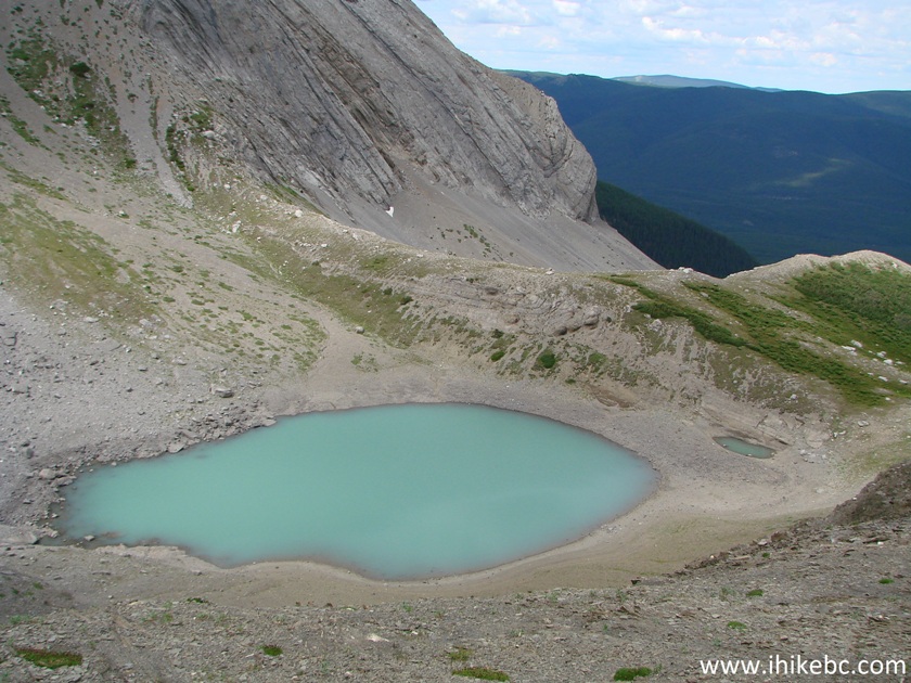
Bootski Lake near Tumbler Ridge British Columbia Canada
43. Looking behind from "the saddle".
Hike British Columbia
44. Back at Bootski Lake.
Bootski Lake
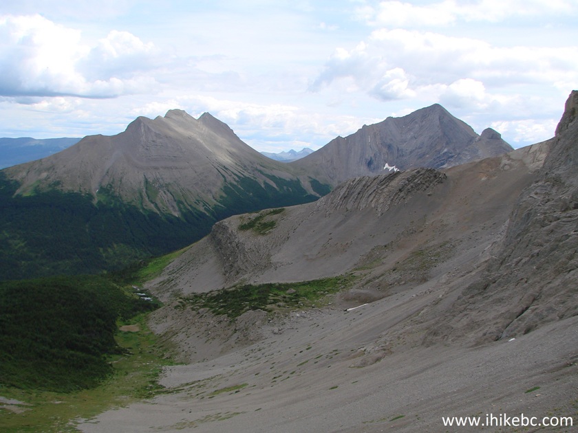
45. Now heading back. Another awesome view.
Tumbler Ridge Hiking
46. And here are the two peaks we climbed to look at the lake from above. We started the climb on the left side of the left peak.
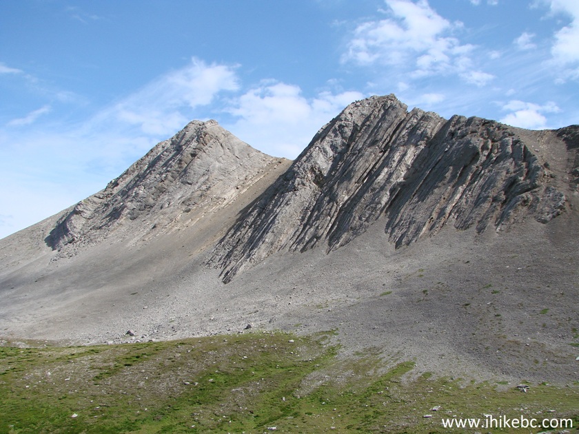
Mountains by Bootski Lake
47. Going through the alpine again.
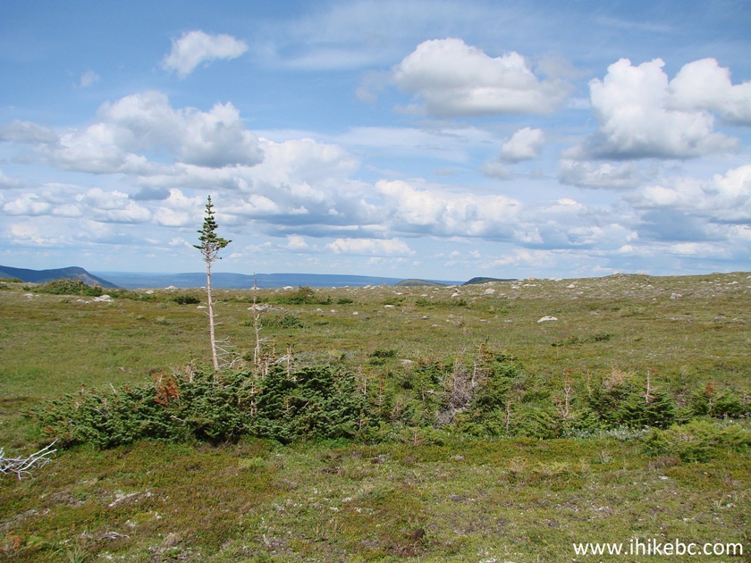
Hike in British Columbia
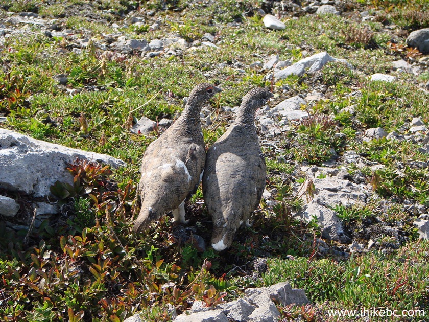
48. A pair of mountain birds (likely ptarmigans) hanged out in the area.
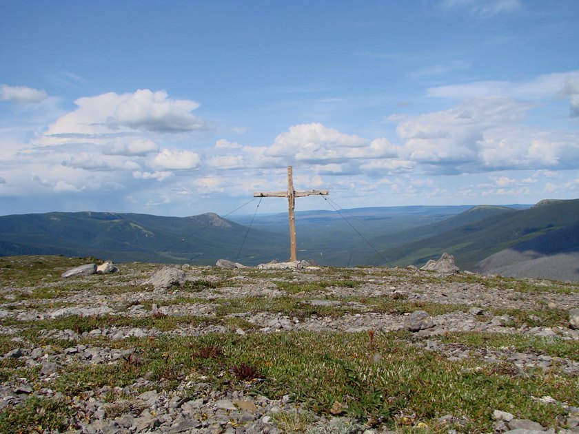
49. There is also a cross in the alpine. Since there was no plaque or anything, we couldn't tell if it's there to commemorate a person, for whom Bootski Lake was their last hike, but it's quite possible.
Cross in the alpine by Bootski Lake near Tumbler Ridge British Columbia
Canada
Here is out video of the views from Bootski Lake hike alpine area:
More ihikebc videos are on our YouTube Channel.
It took us 2 hours and 20 minutes to return from the lake to the trailhead. Bootski Lake Trail/Route features excellent views, and is definitely highly recommended.


|
 |
Other Trips in Tumbler Ridge BC Area:
|
|
|
|
|
|
|
|
|
|
|
|
|
|
|
|
|
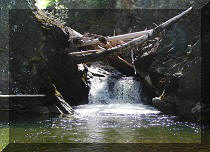
Bergeron
Cliffs Hike
|
 |
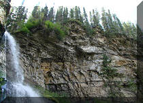
Stone Corral Trail  |
|
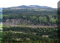
Windfall Lake Trail
|
 |
Mount Clifford Trail  |
|
Murray Canyon
Overlook
|
|
Quality Canyon Trail  |


![]()
![]()
![]()
ihikebc.com Trip 115 - Bootski Lake Trail Hike (near Tumbler Ridge BC) Page 2 of 2